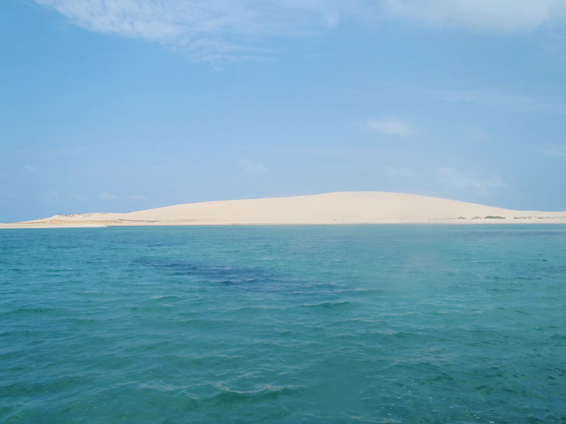
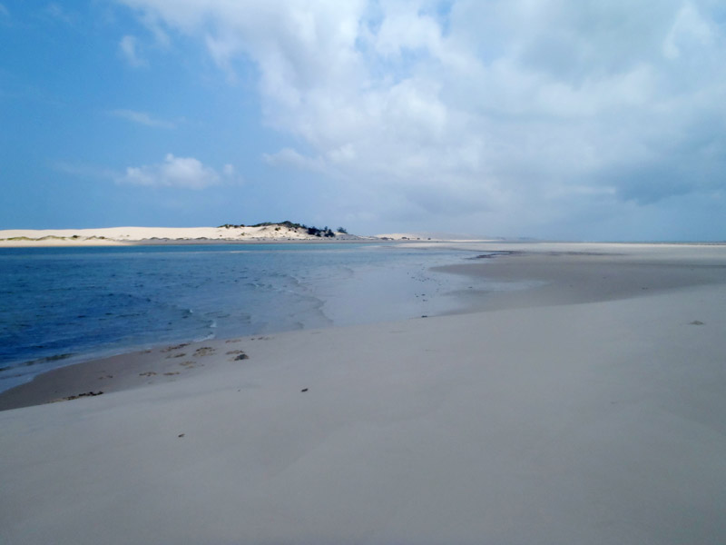
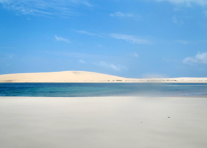
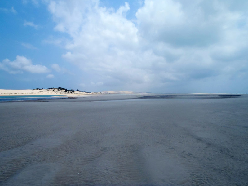
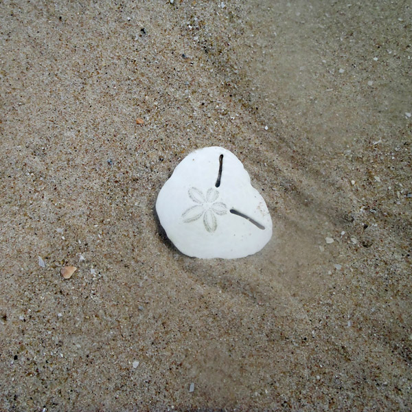
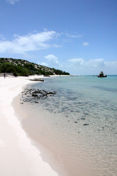
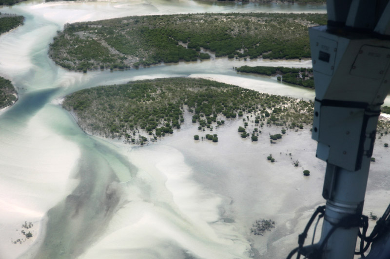
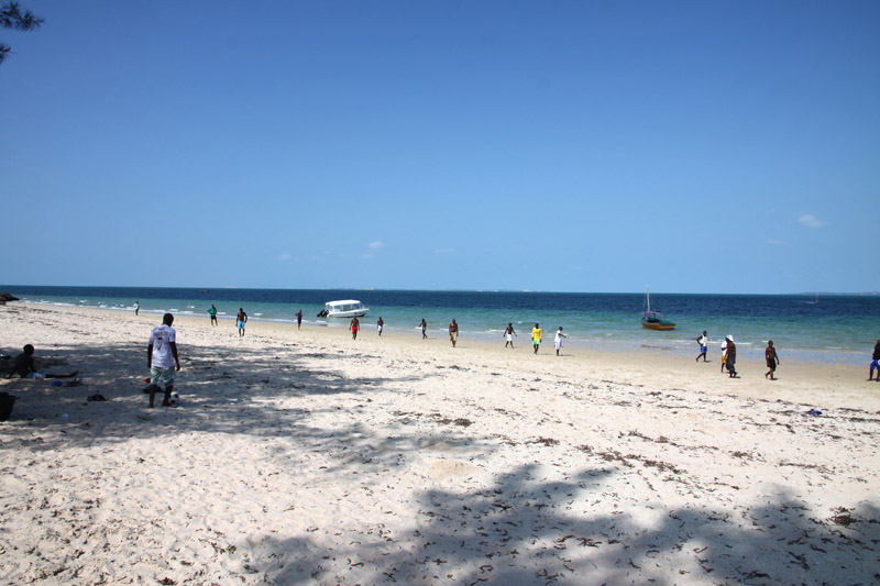
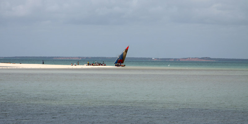
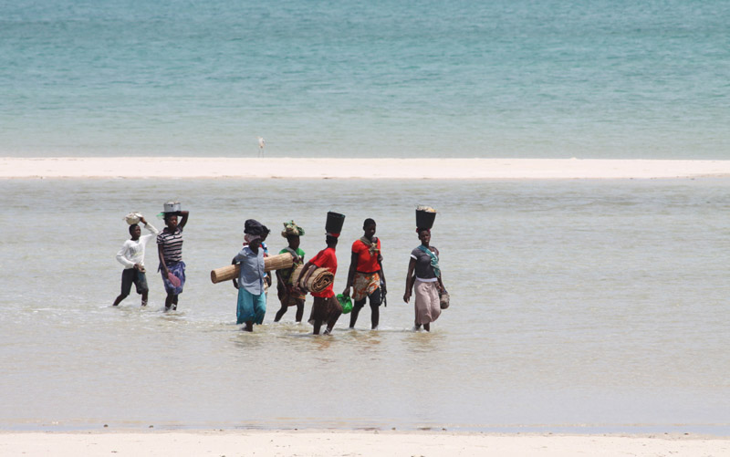
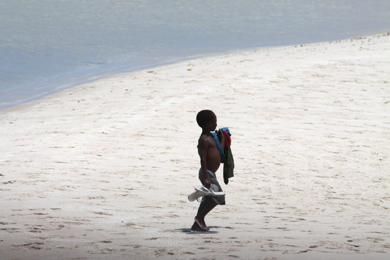
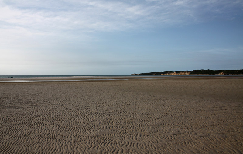
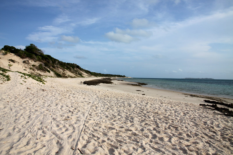
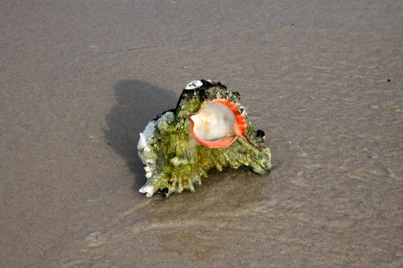
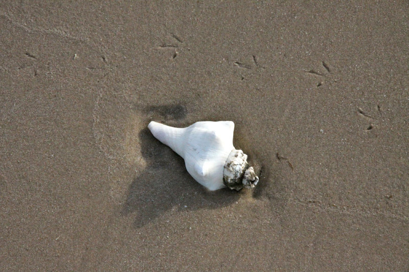
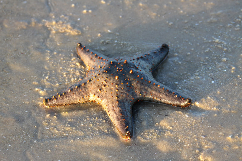
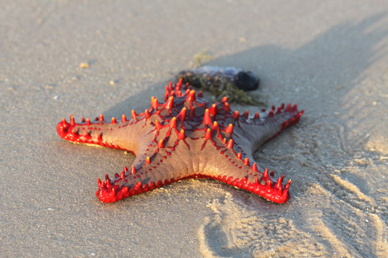
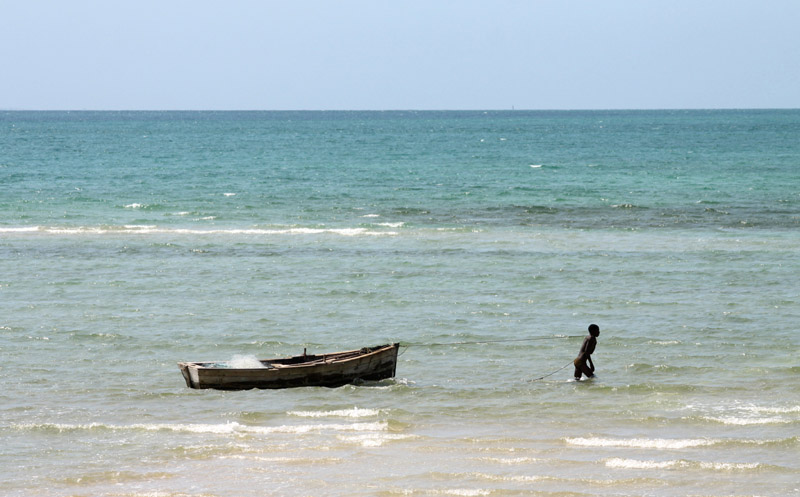
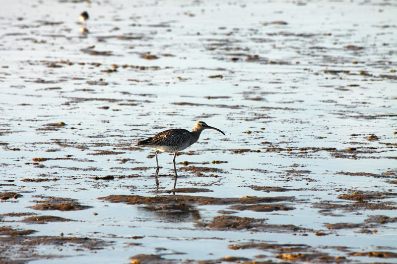
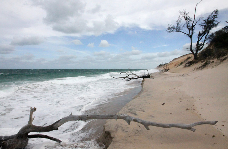
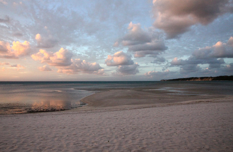
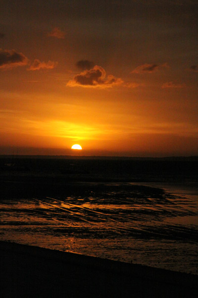
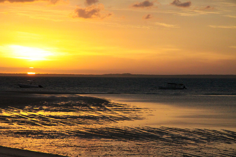
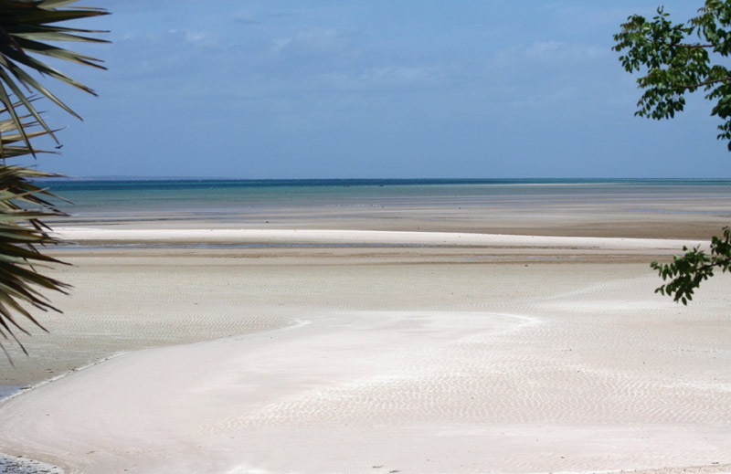
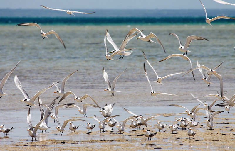
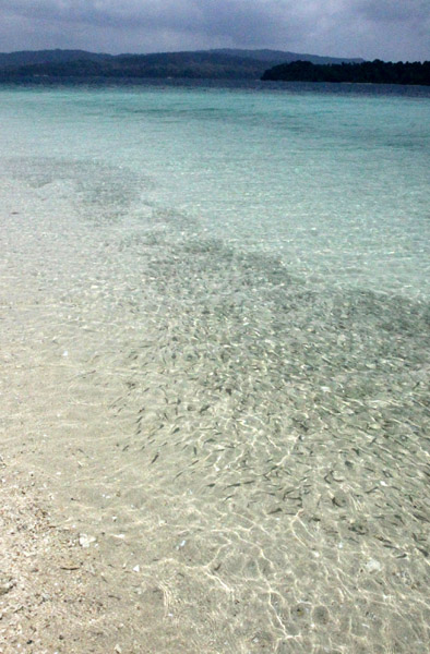
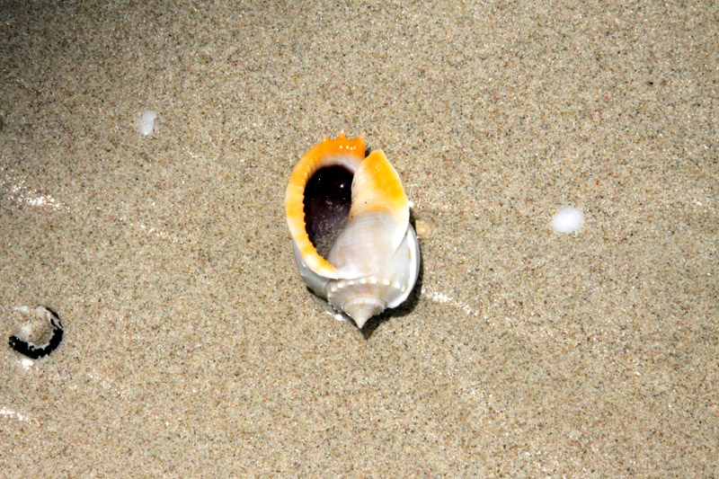
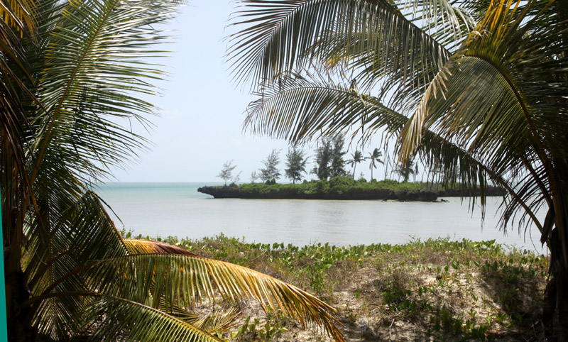
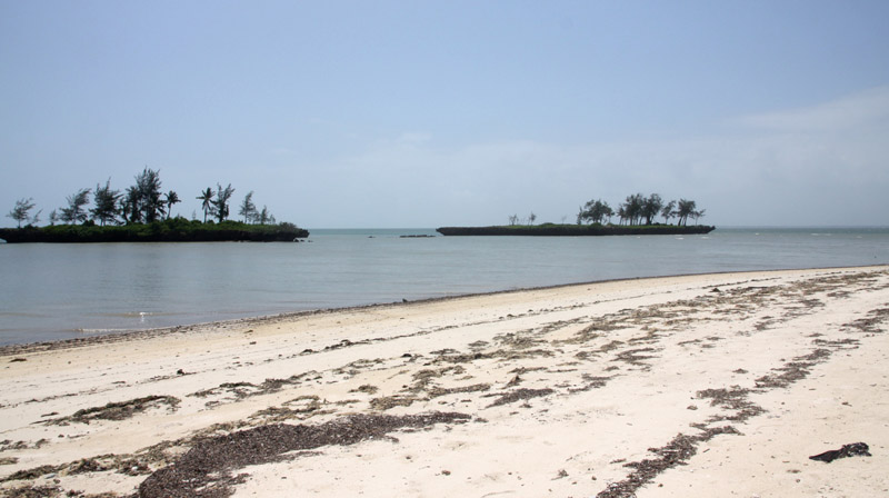
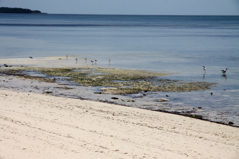
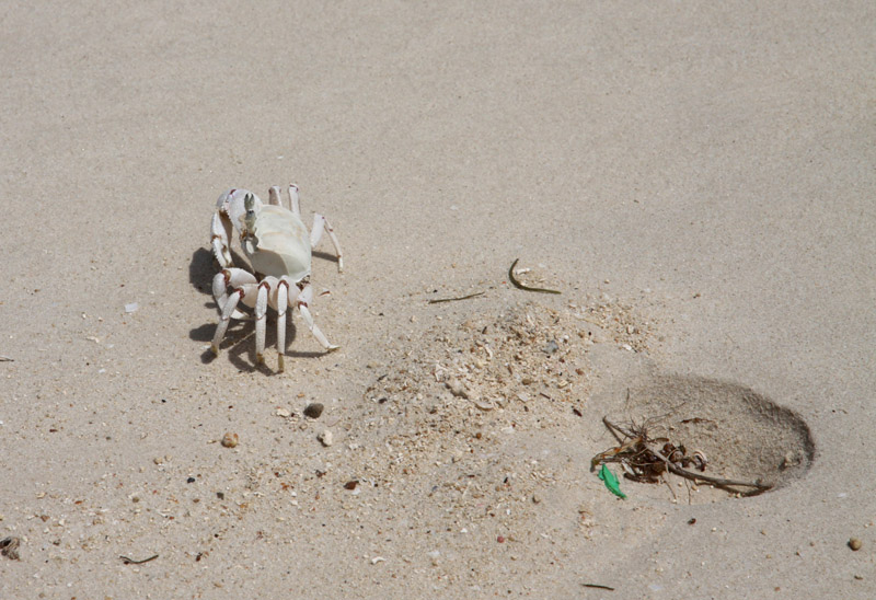
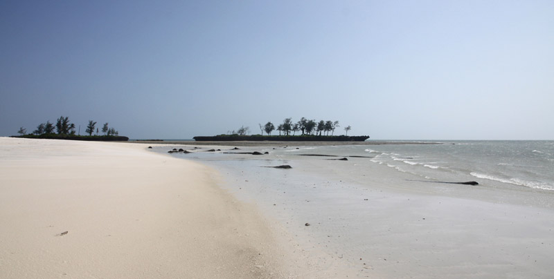
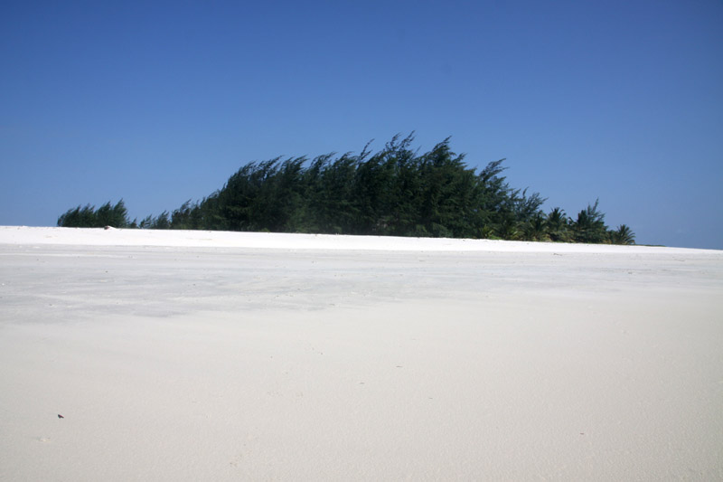
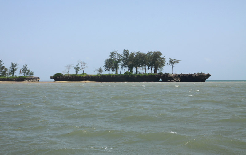
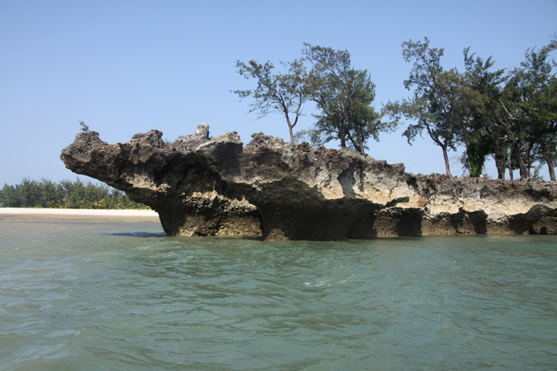
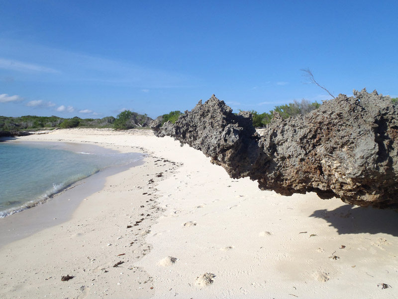
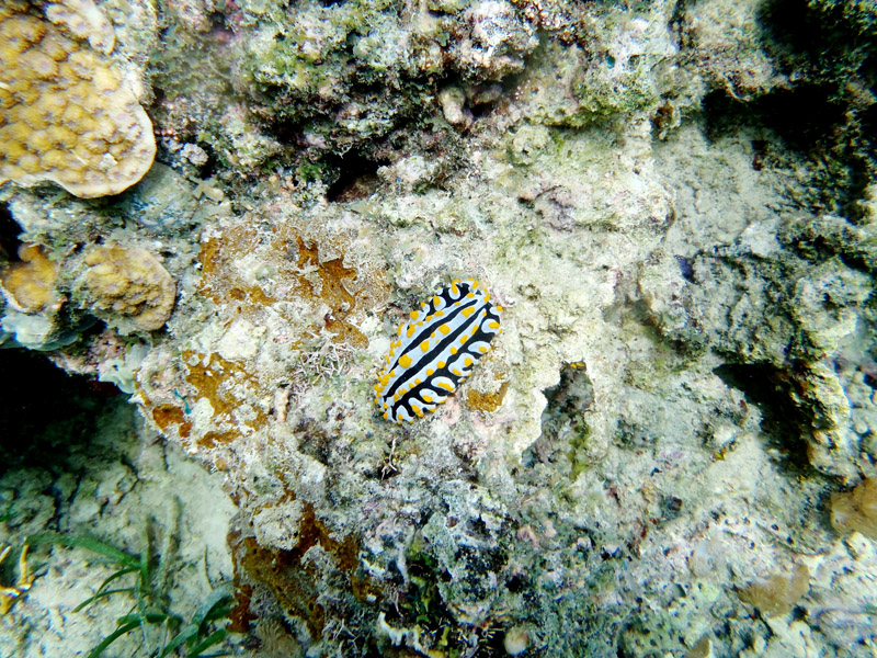
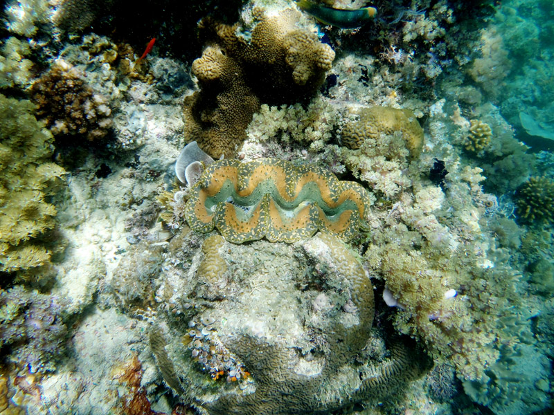
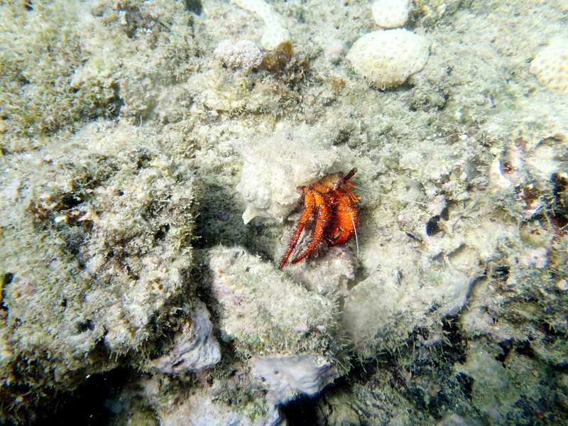
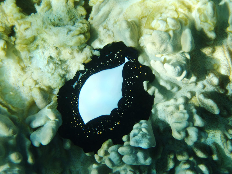
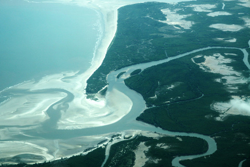
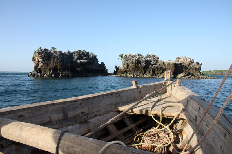
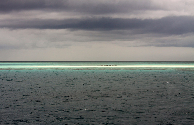
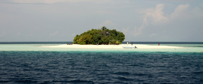
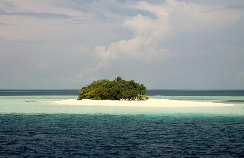
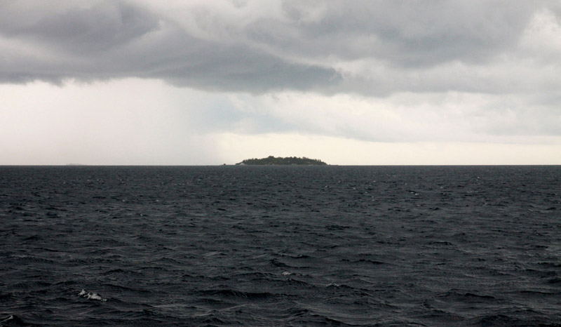
Is this already an island or perhaps not yet? Perhaps not – just a sandbar maybe one kilometer long and several meters wide. Many people claim that this is one of few places in Bazaruto archipelago when you can see interesting in shape Pancy shells.
Is this already an island or perhaps not yet? Perhaps not – just a sandbar maybe one kilometer long and several meters wide. Many people claim that this is one of few places in Bazaruto archipelago when you can see interesting in shape Pancy shells.
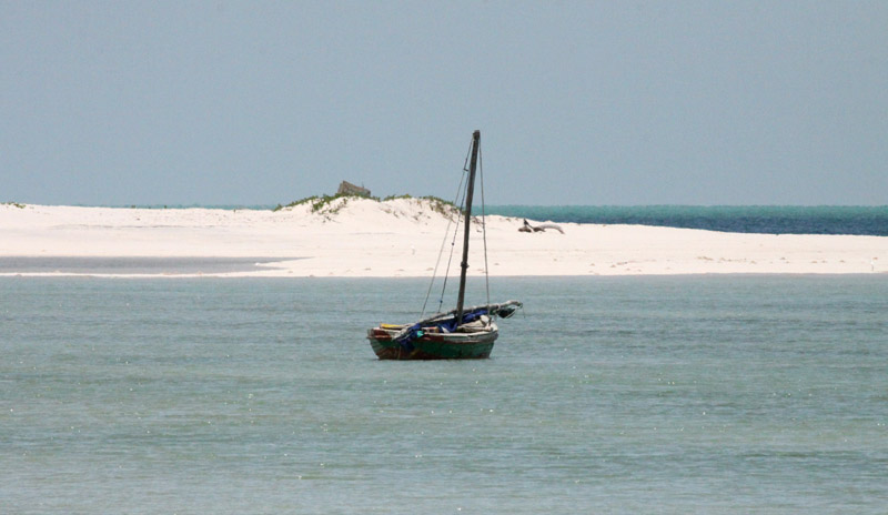
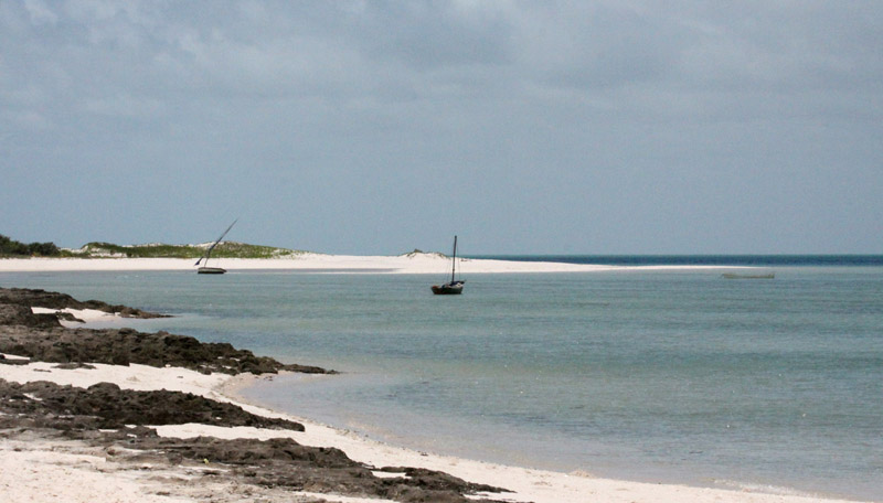
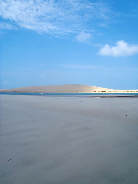
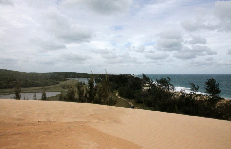
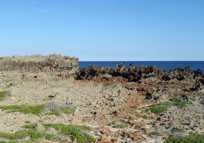
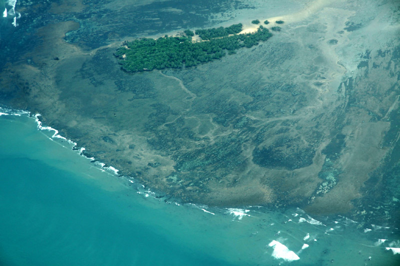
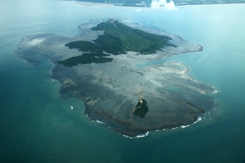
Magaruque Island, formerly Ilha Santa Isabel, is part of the Bazaruto Archipelago, off the coast of Mozambique. It is located 5.6 km south of Benguerra Island, and 9.9 km east of Ponta Chuè on the mainland of Mozambique.
The island is 2.4 km long north-south, and up to 1.0 km wide. Its area is less than 2 km². It is owned by Zimbabwean billionnaire businessman John Bredenkamp.
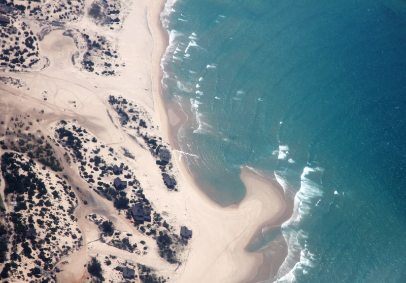
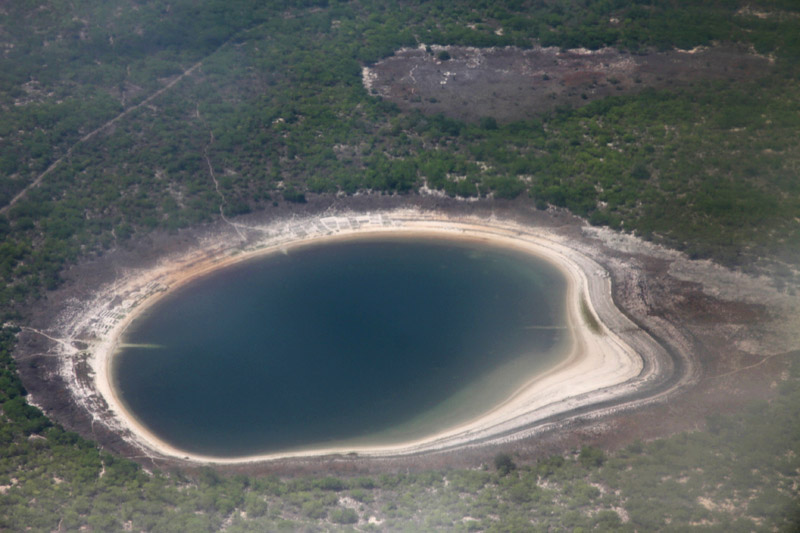

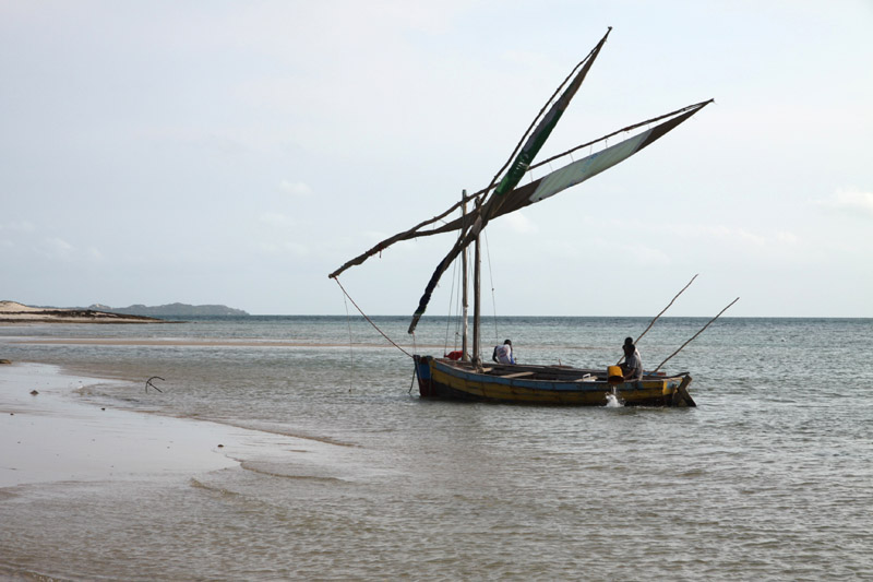

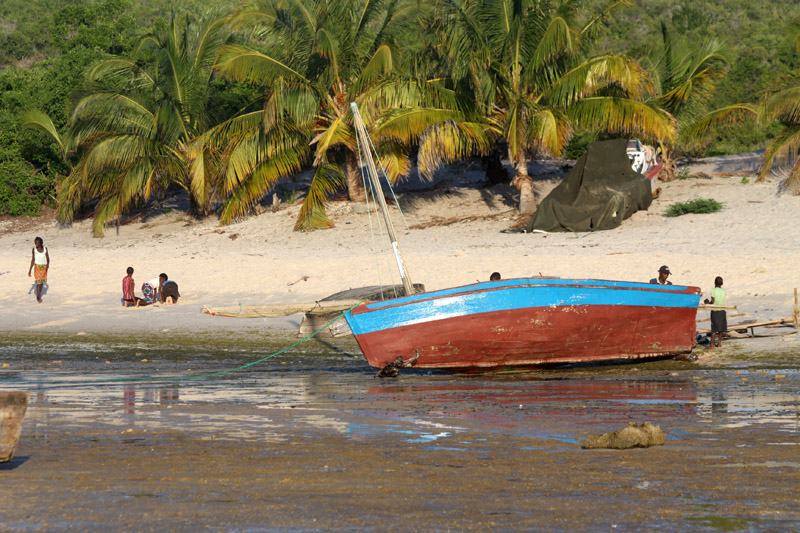
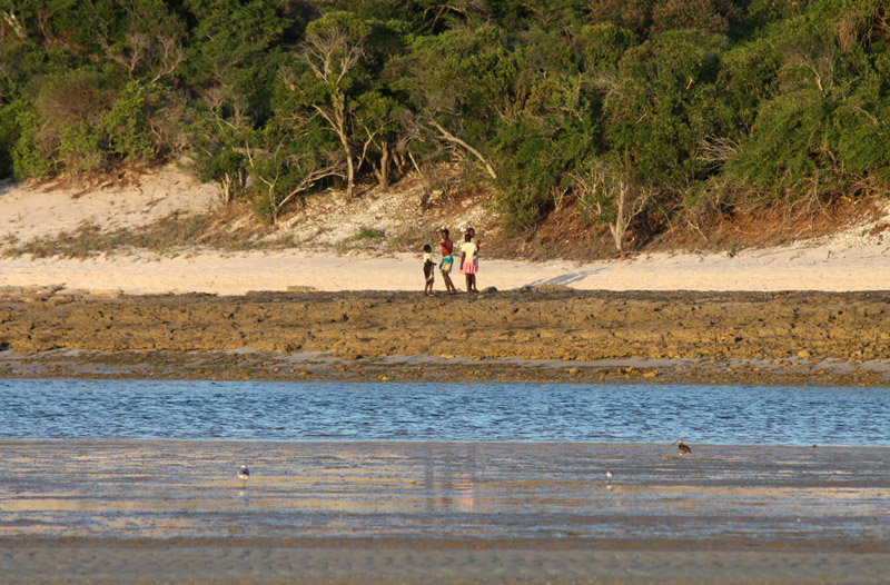
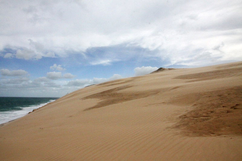
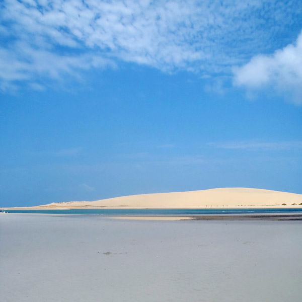
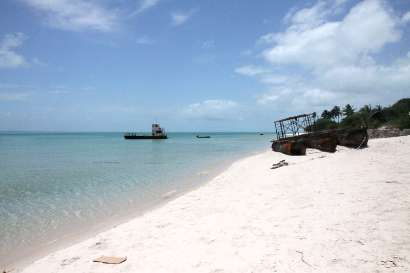
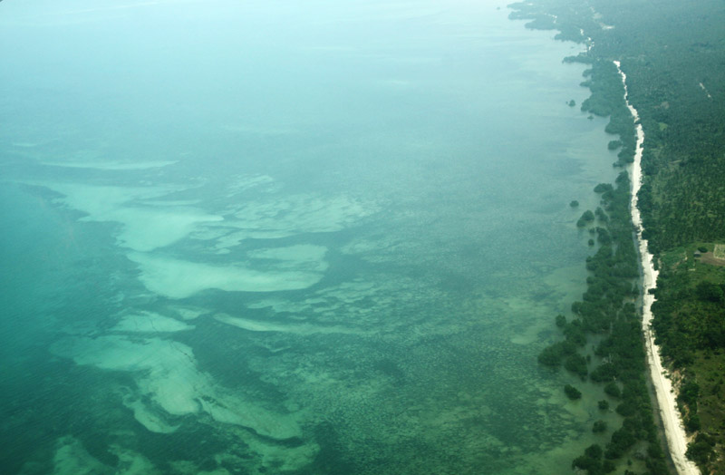
Benguerra Island in Mozambique is the second largest island in the Bazaruto Archipelago, which broke away from the mainland thousands of years ago. The island is approximately 55 square kilometers (11 km long x 5.5 km wide), and lies 14km offshore. It is famous for its unspoiled white beaches, remarkable dive sites, excellent horse riding and incredible fishing.
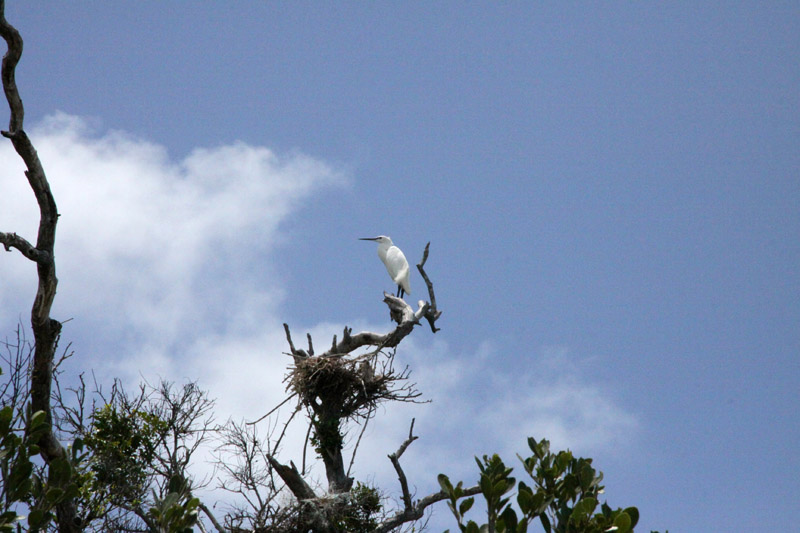
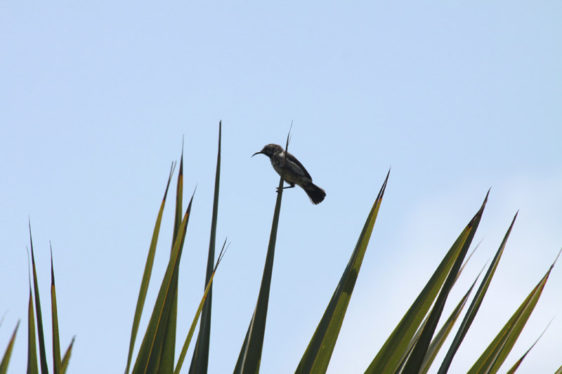
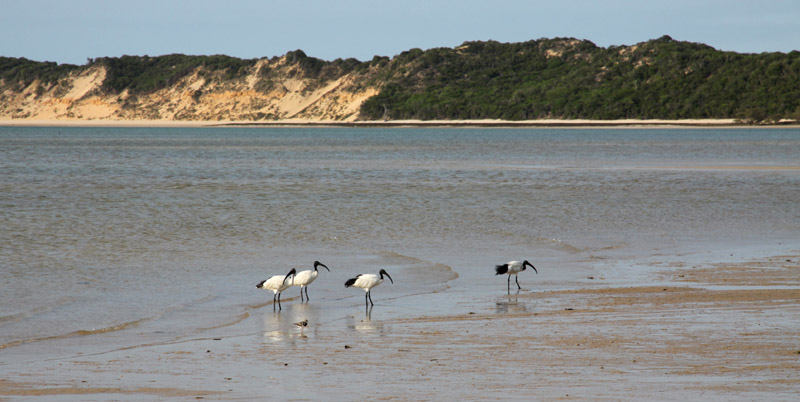
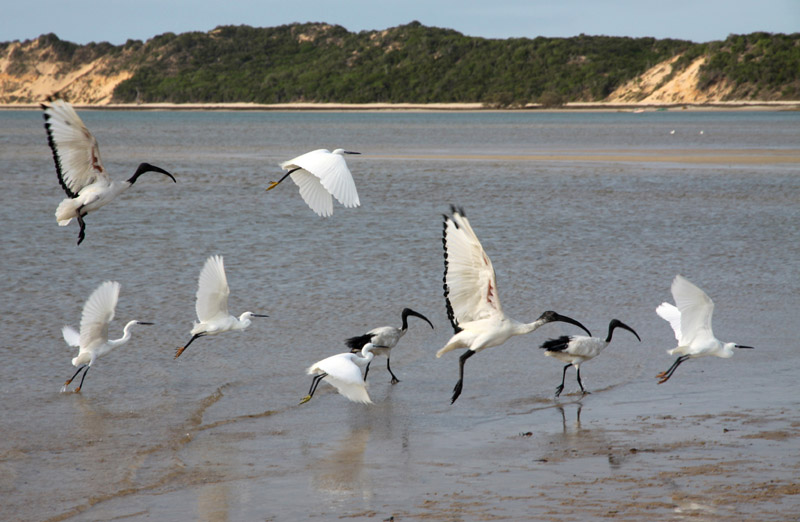
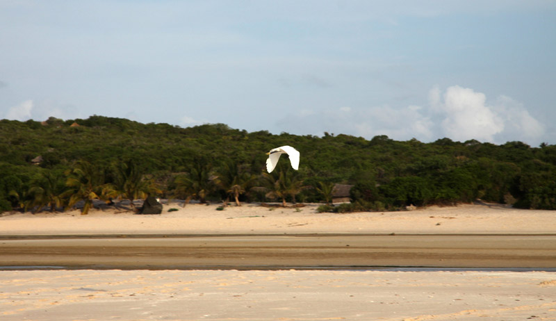
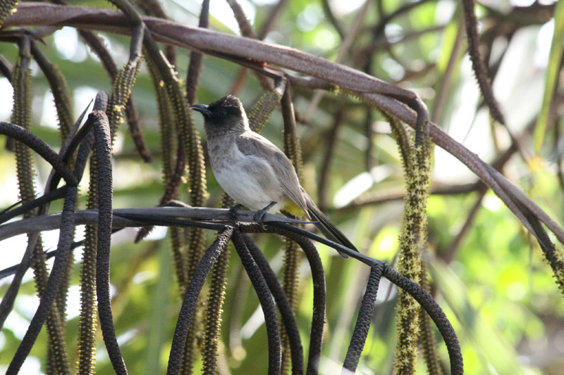
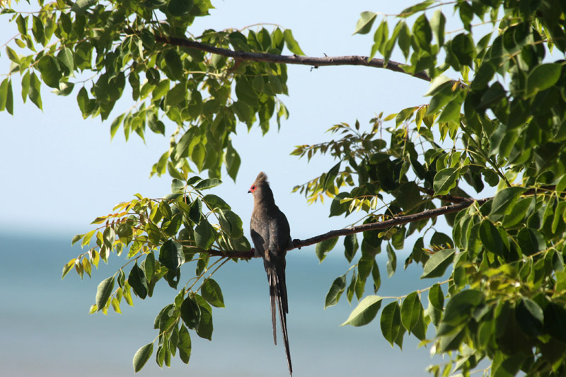
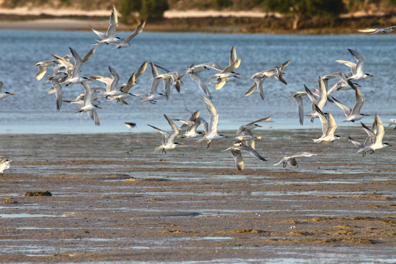
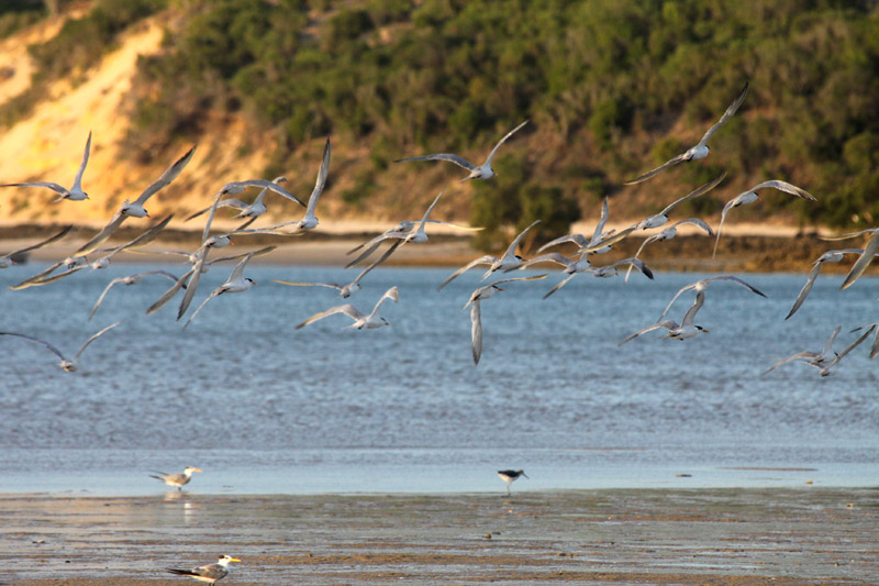
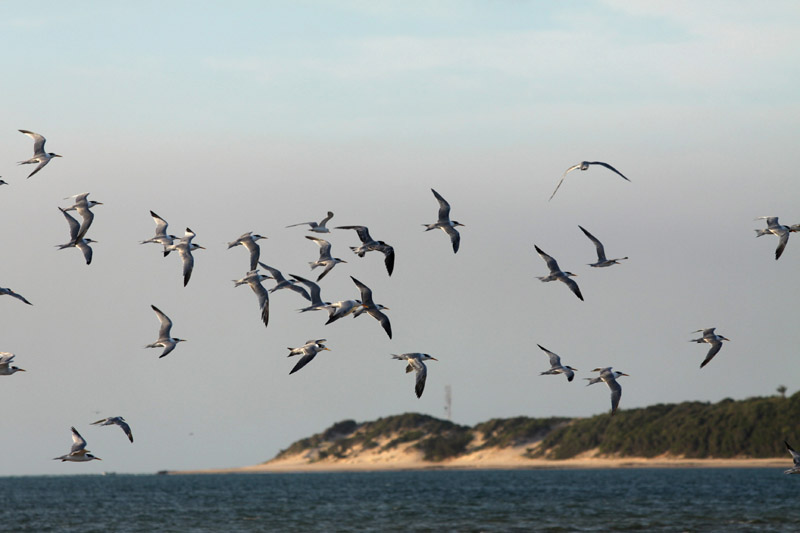
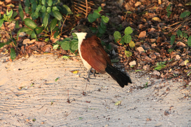
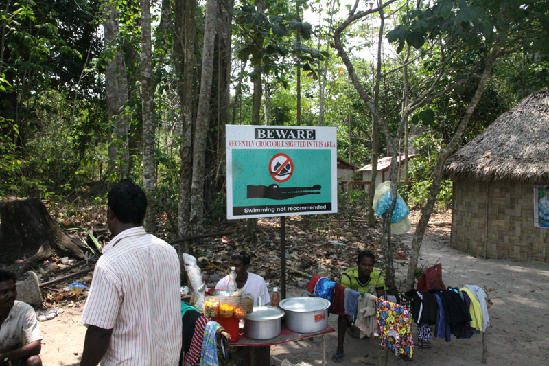
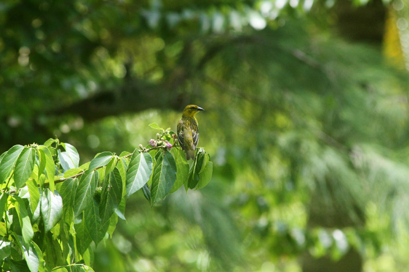
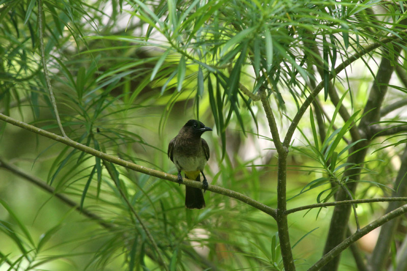
Benguerra Island comprises forest, savannah, freshwater lakes and wetland eco-systems that sustain a diverse population of fauna and flora. Fresh water crocodiles can be found in the three lakes, bearing testimony to the island’s mainland past. The island, which is home to approximately 140 bird species, was declared a National Park in 1971.
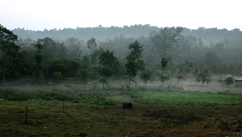
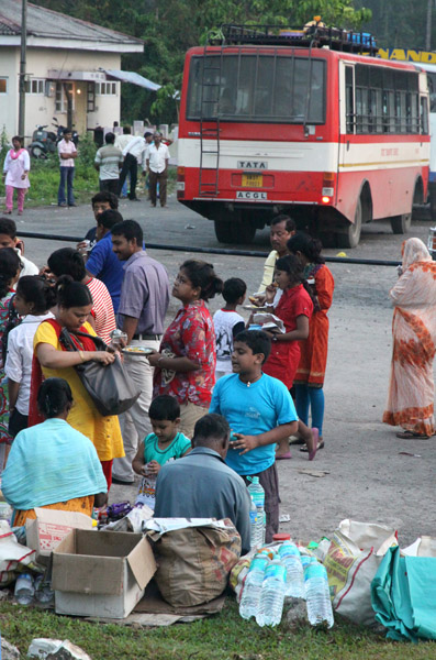
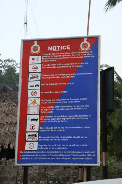


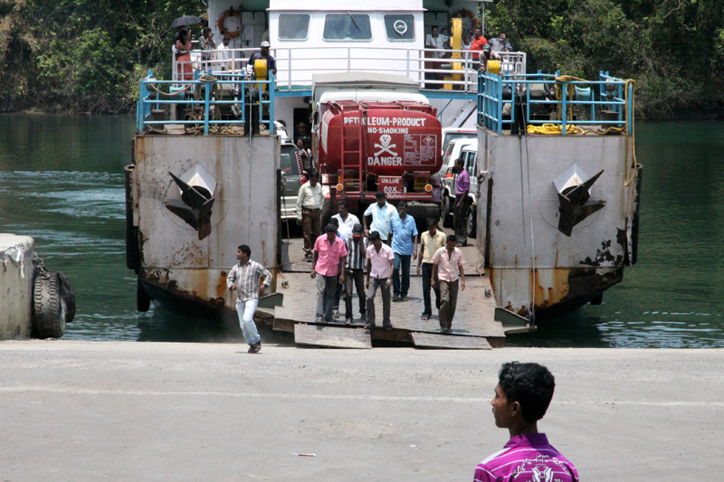

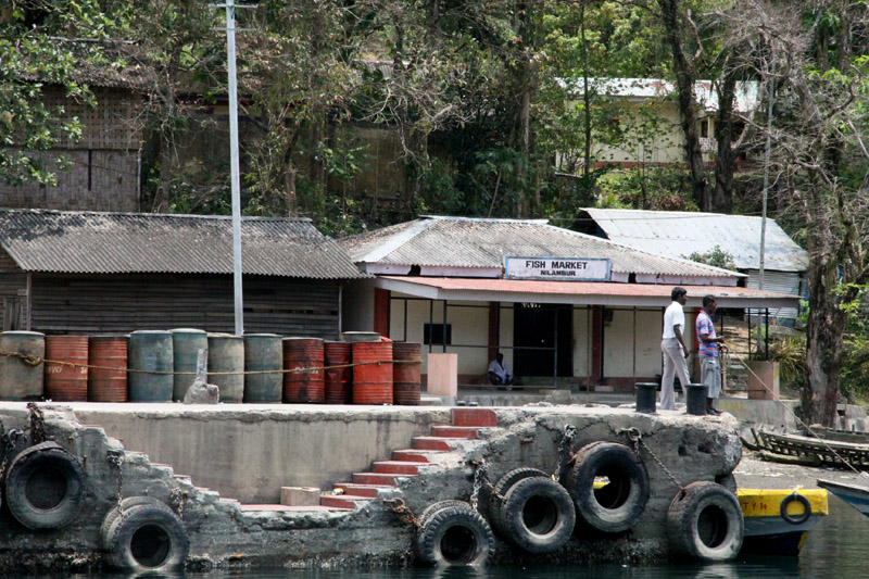
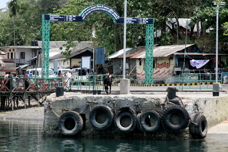
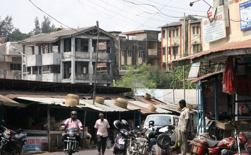
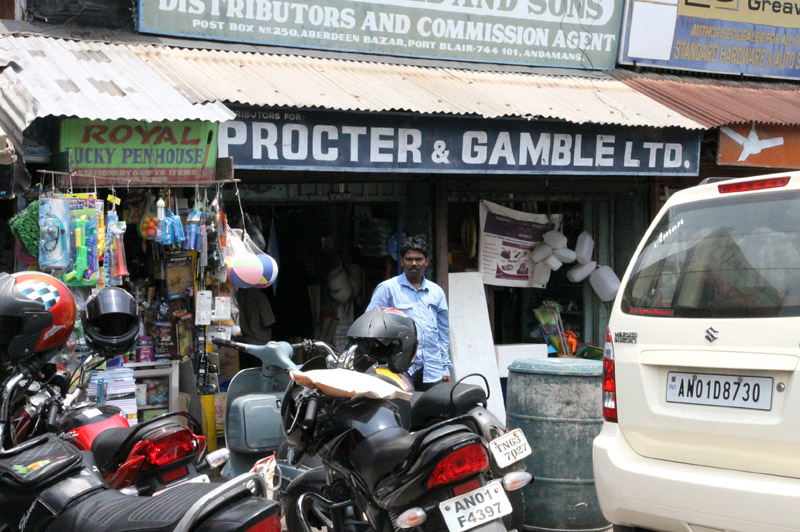
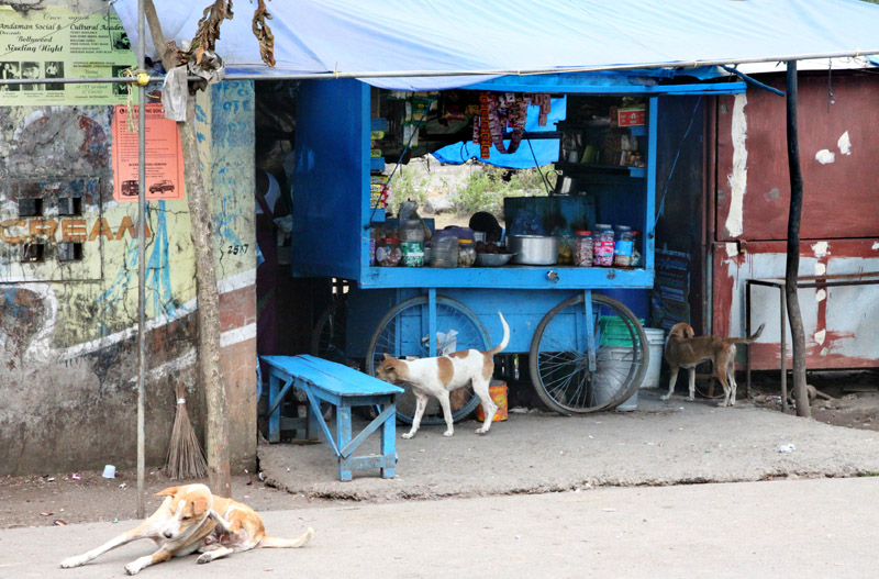
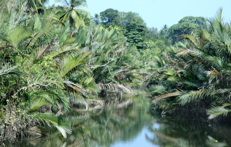
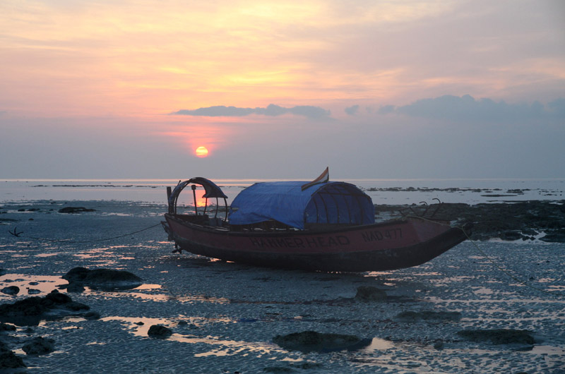
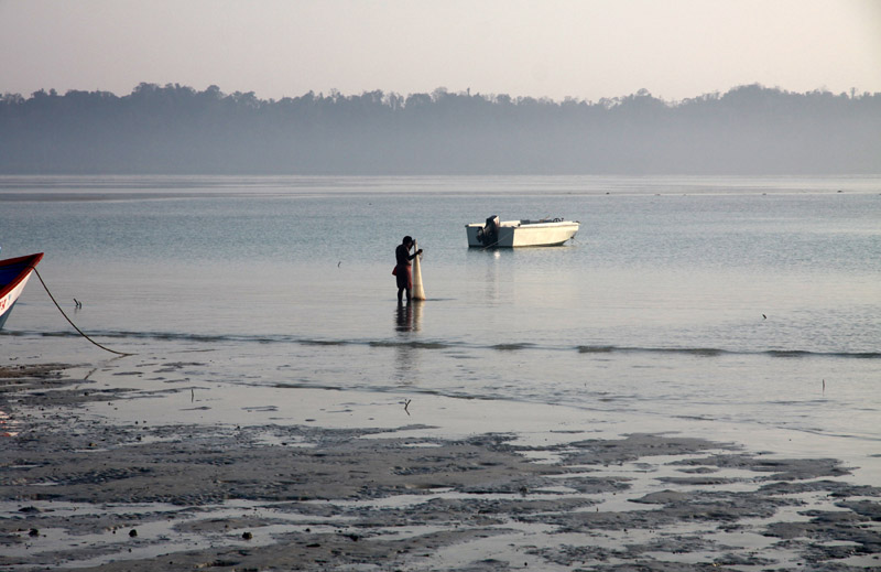
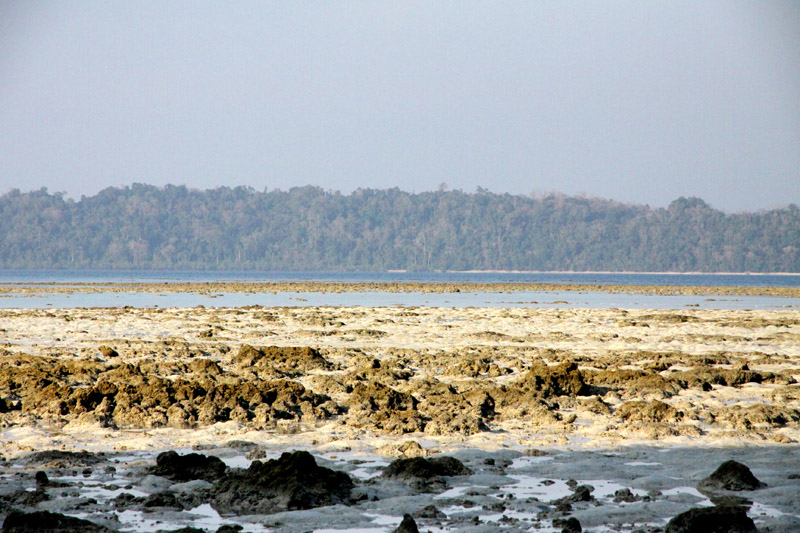
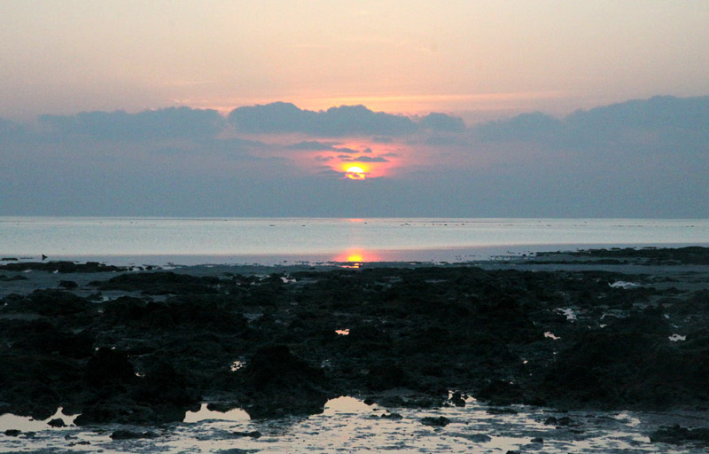
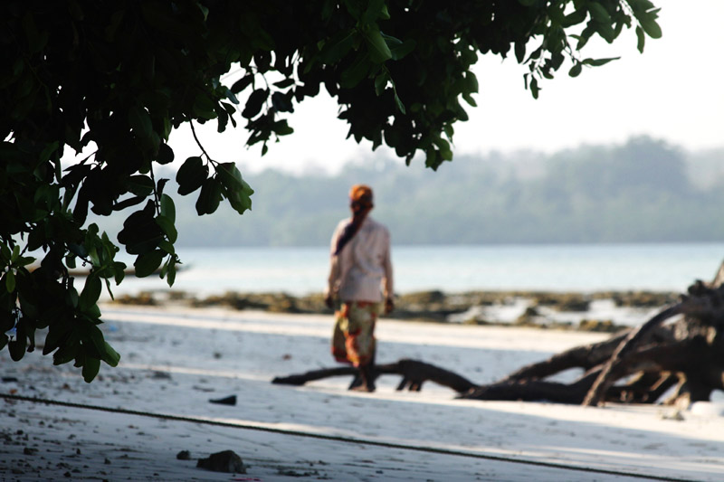
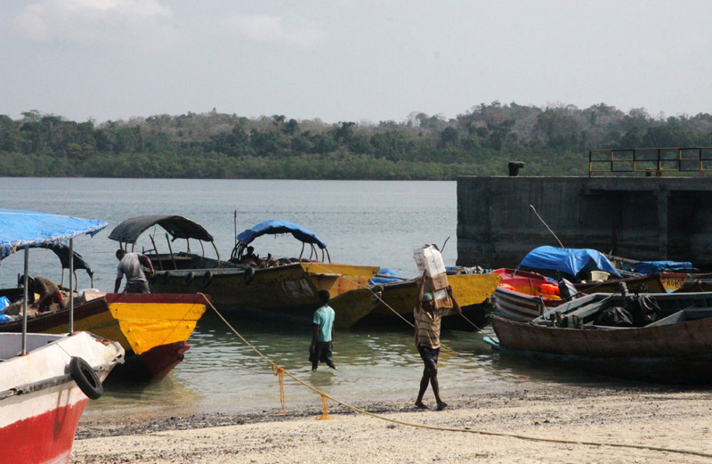
Baratang, less commonly known as Baratang Island, (coordinates: 12°07′N 92°47′E) is an island in the Andaman Islands, India, with an area of approximately 238 square kilometres (92 sq mi). It is one of the main islands of the Great Andaman group, a closely set archipelago in the Bay of Bengal, adjoining the Andaman Sea. Middle Andaman is to its north, and South Andaman to the south. The islands of Ritchie’s Archipelago lie some 20 kilometres (12 mi) to the east.
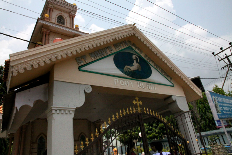
Port Blair, the capital of the Indian Union Territory of Andaman and Nicobar Islands, is located approximately 100 kilometres (62 mi) to the south.
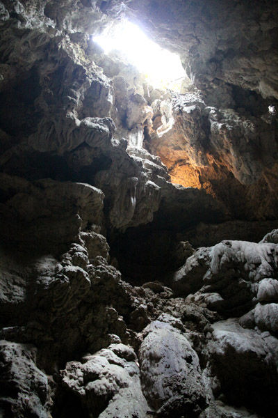
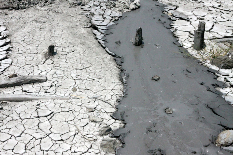
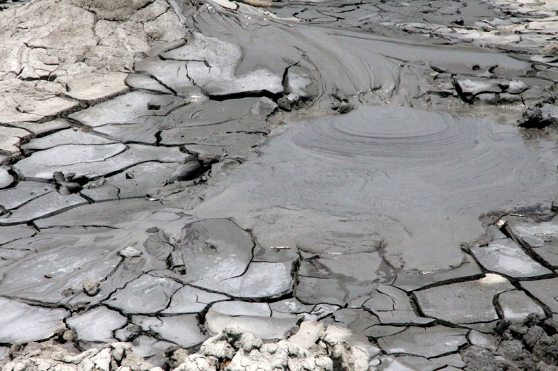
Baratang contains the only known examples of mud volcanoes in India. These mud volcanoes have erupted sporadically, with recent eruptions in 2005 believed to have been associated with the 2004 Indian Ocean earthquake. The previous major eruption recorded was on 18 February 2003. The locals call this mud volcano jalki.
There are other volcanoes in the area. The Barren Island volcano which is the only active volcano in South Asia and the Narcondum volcano which is considered to be a potentially active volcano.


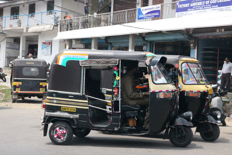


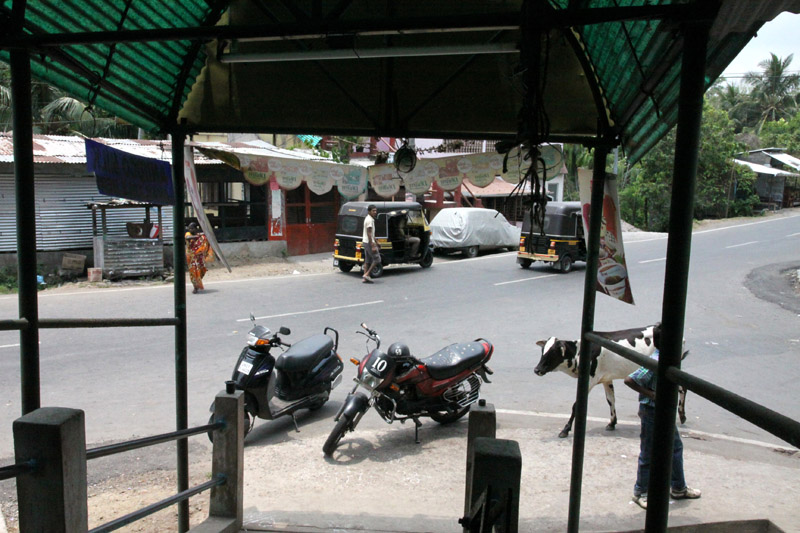


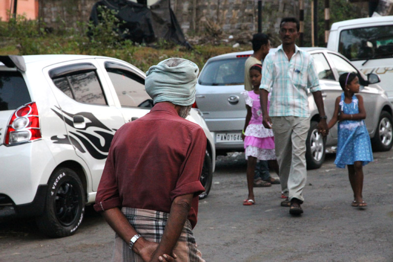
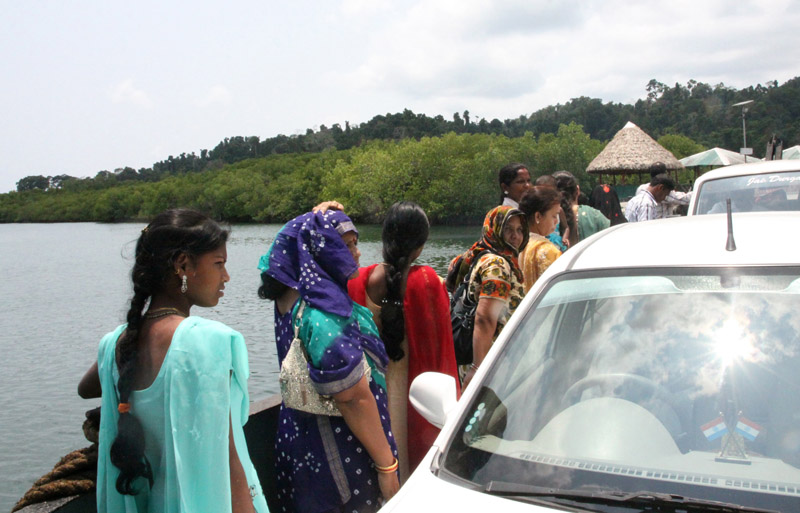
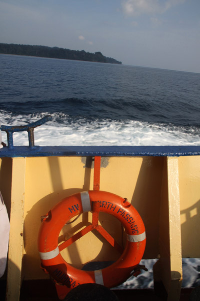
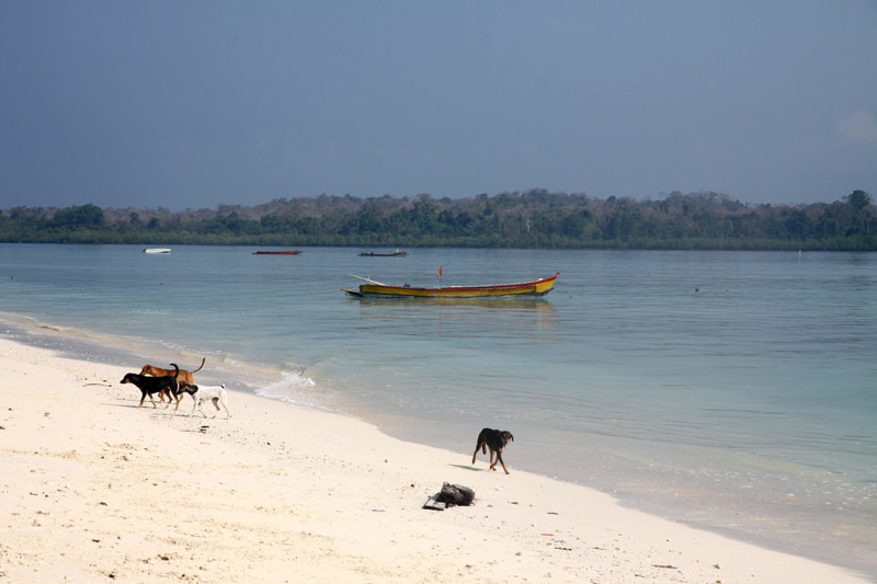
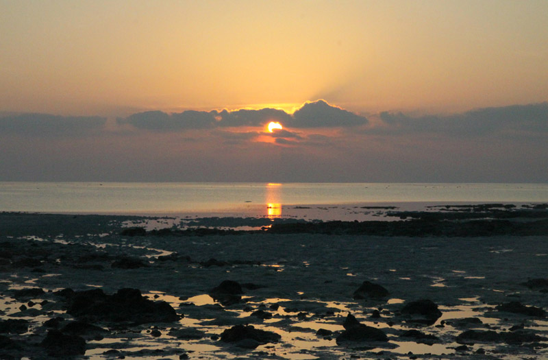
South Andaman Island is the southernmost island of the Great Andaman and is home to the majority of the population of the Andaman Islands. Port Blair, the capital of the islands, is located on the southern part of this island. Some areas of the island are restricted areas for non-Indians; however, transit permits can be obtained from the Home Ministry.
Like the rest of the archipelago, it was struck by the 2004 Indian Ocean earthquake, leading to many deaths on the island. South Andaman is the third largest island in the island group. It is located immediately south of Middle Andaman Island, from which it is separated only by a narrow channel, a few hundred meters wide. The island is 93 km long and 31 km in width. Its area is 1348 km². It had a population of 181,949 as of the 2001 census. South Andaman is less mountainous than the more northerly of the Andaman Islands. Koiob reaches a height of 456.6 meters.
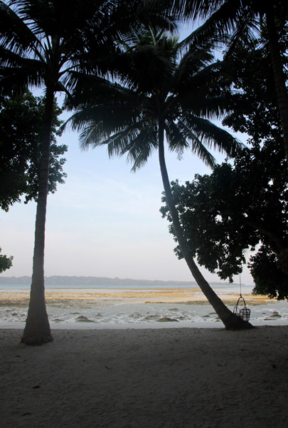
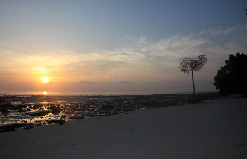
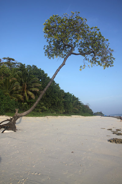
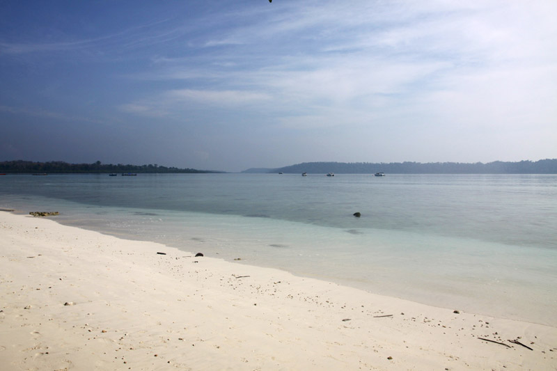
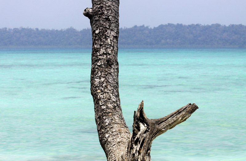
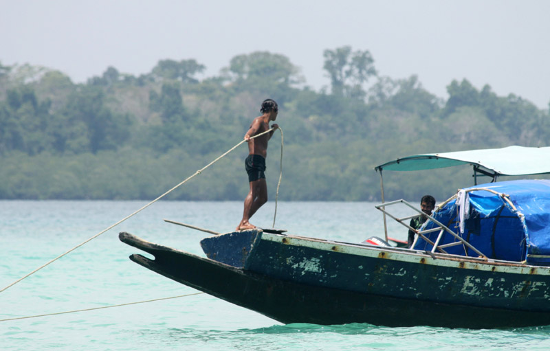
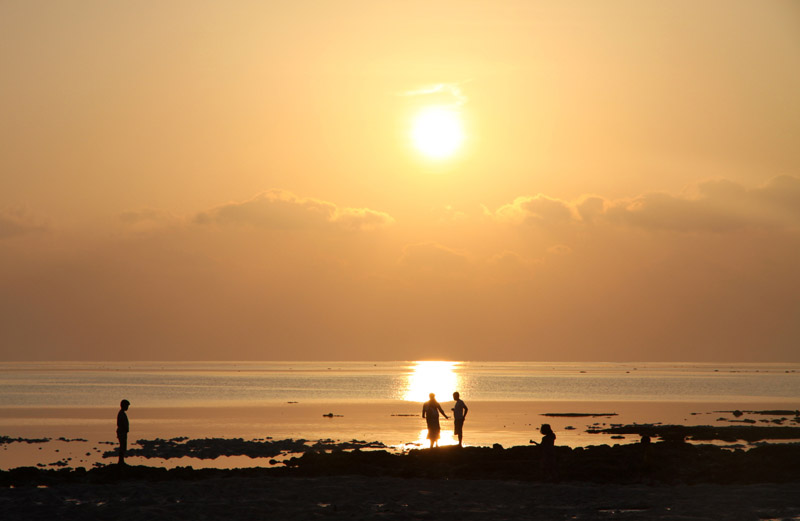
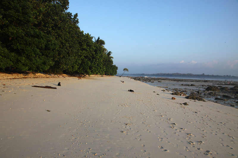
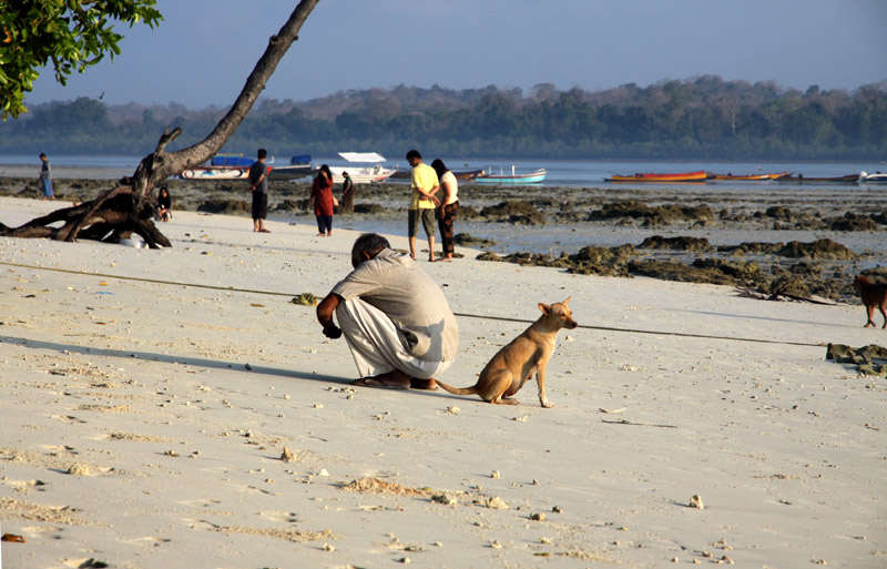
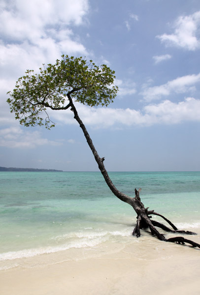
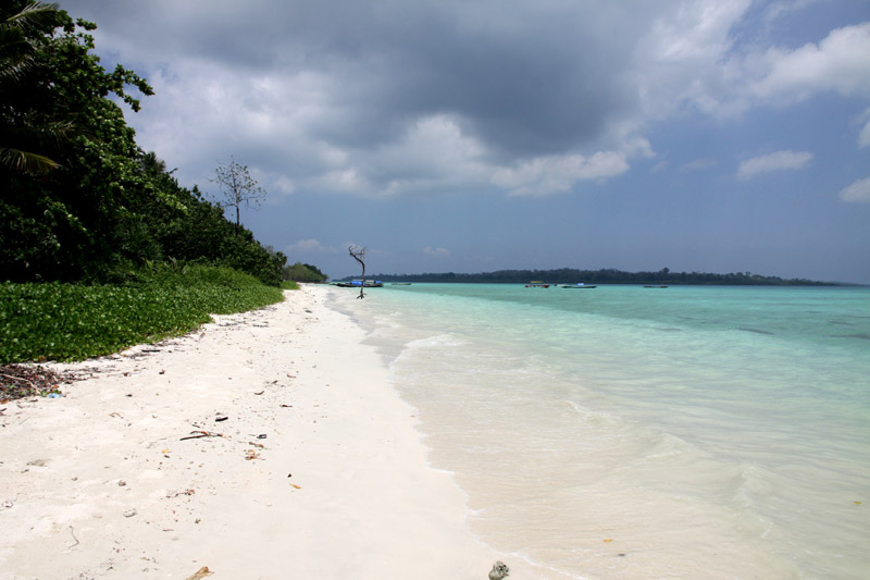
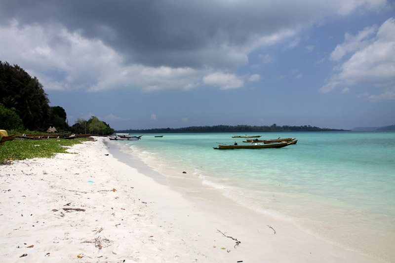
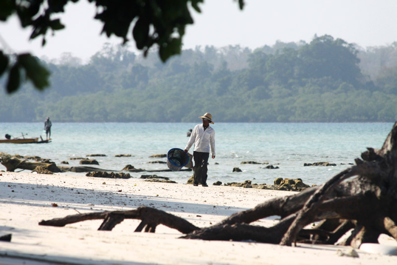
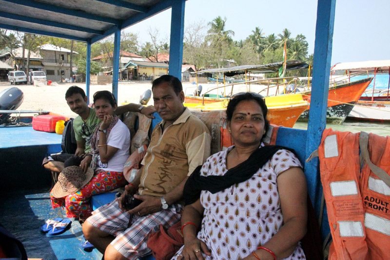
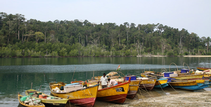
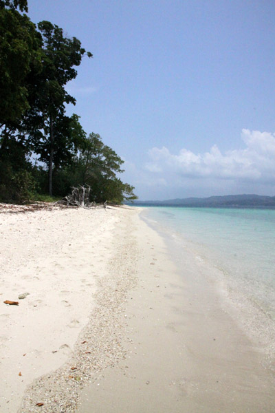
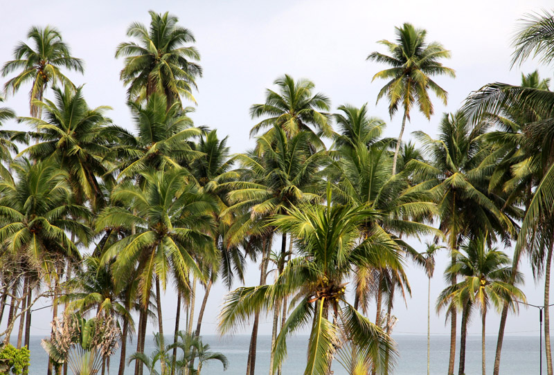
Havelock Island, with an area of 113.93 km², is the largest of the islands which comprise Ritchie’s Archipelago a chain of islands to the east of Great Andaman in the Andaman Islands. Havelock is situated 57 km North East of Capital City Port Blair. The population numbered 5,354 as of the census of 2001.
The island is named after Henry Havelock, a British general active in India. The island’s current population consists of Bengali settlers.
It is one of the few places that the administration of the Andaman and Nicobar Islands union territory of India has permitted and encouraged development of tourism, with a focus on promoting eco-tourism.
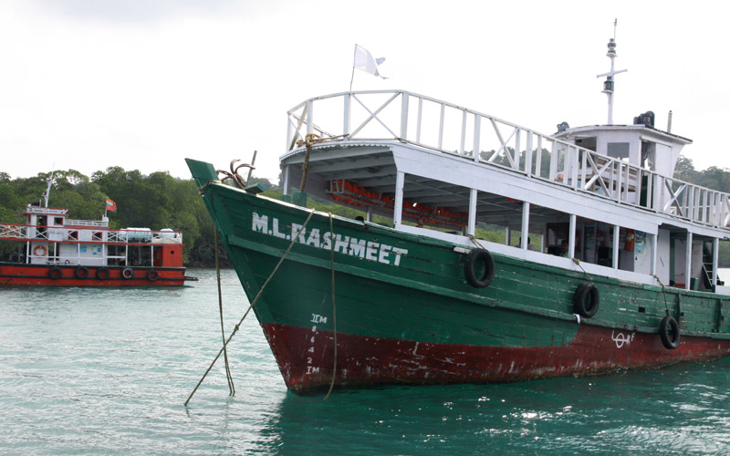
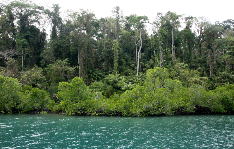
Havelock Island avoided much of the devastation which was visited upon most of the shores affected by the 2004 Indian Ocean earthquake and its resultant tsunami, and there were no documented casualties.
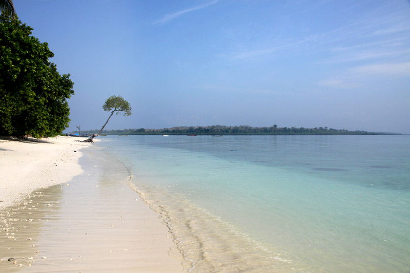
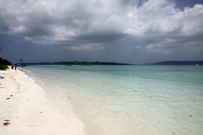
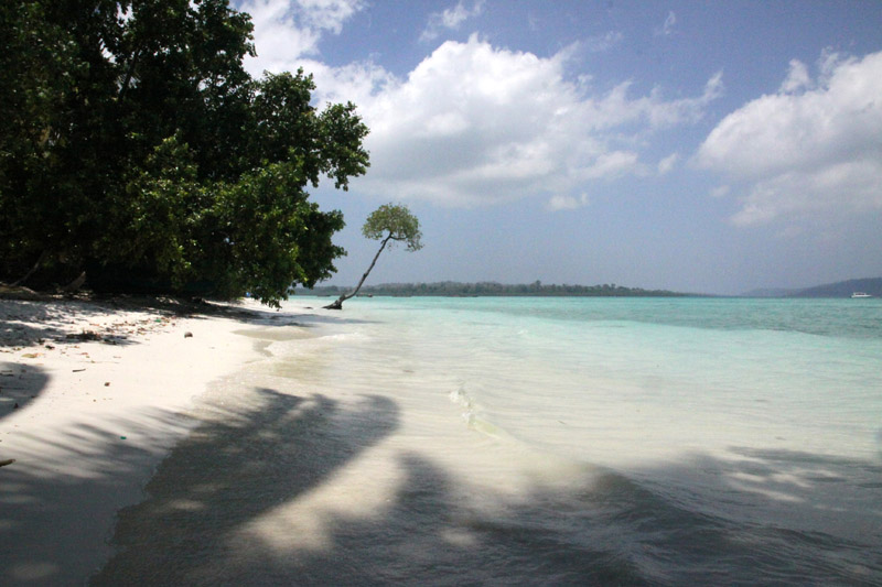
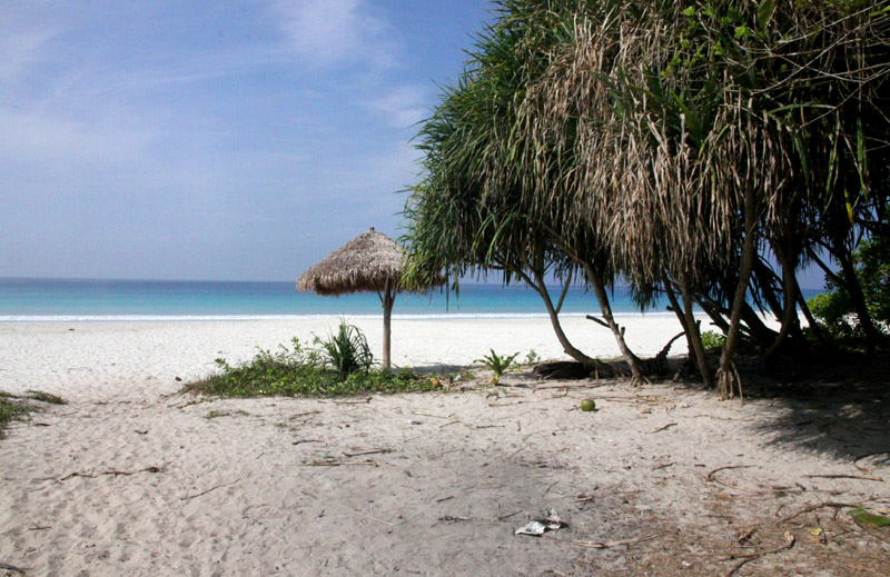
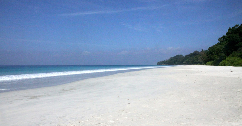
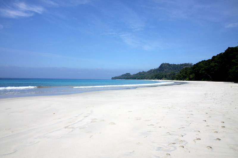
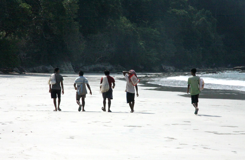
Beach No. 7 on the western coast, better known as “Radha Nagar” Beach, is one of the most popular beaches on Havelock and was named “Best Beach in Asia” by Time in 2004. Other notable beaches include Elephant Beach on the northwest coast and Vijaynagar Beach (No. 5), Beach No. 3 and Beach No. 1 on the east coast.Barren Island (coordinates: 12°16′N 93°51′E) is located in the Andaman Sea, one of the most easterly of the Andaman Islands. It is the only confirmed active volcano in South Asia. Along with the rest of the Andamans, it is a part of the Indian Union Territory of Andaman and Nicobar Islands, and lies about 135 km (84 mi) northeast of the territory’s capital, Port Blair. The first recorded eruption of the volcano dates back to 1787. Since then, the volcano has erupted more than ten times, with the most recent one which started in May 2008.
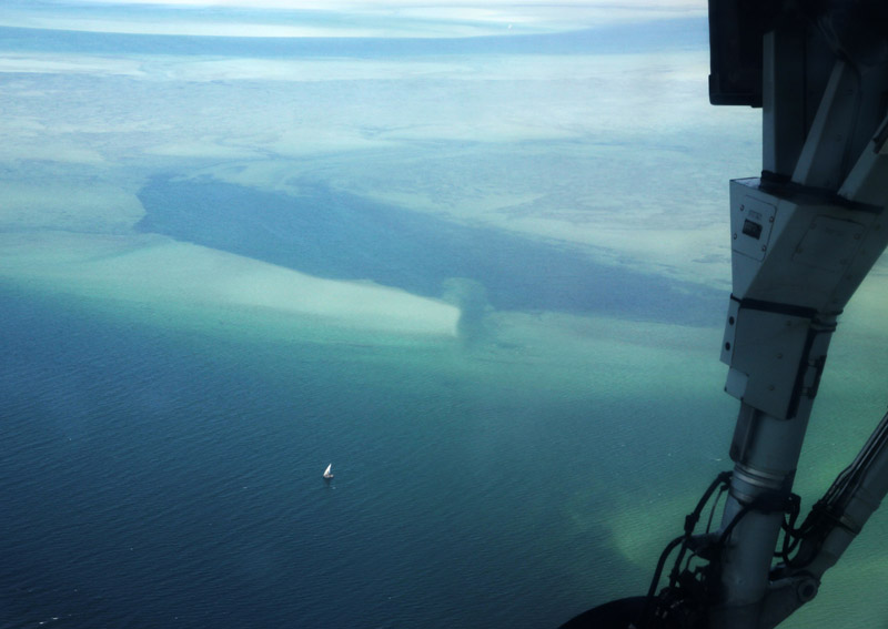
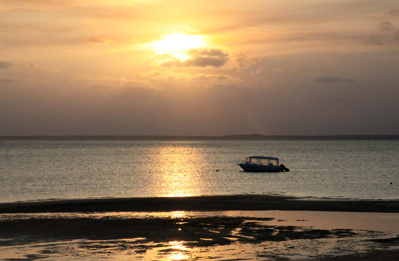
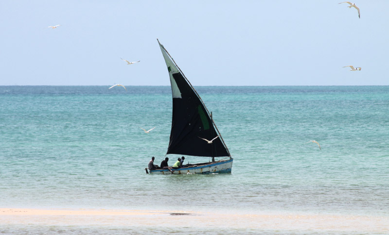
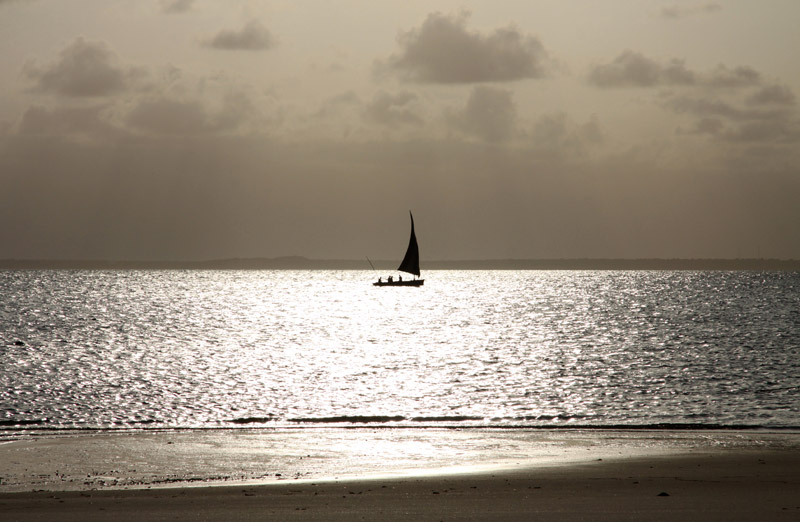
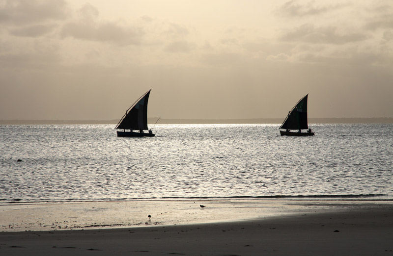
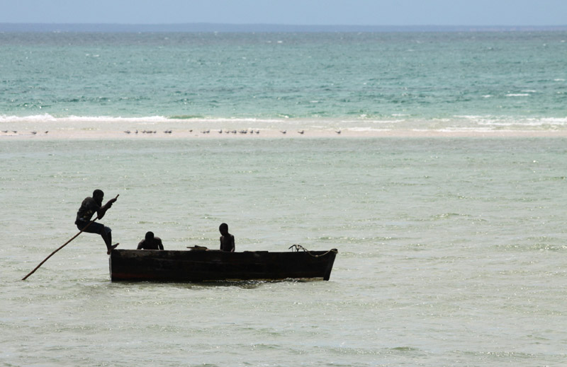
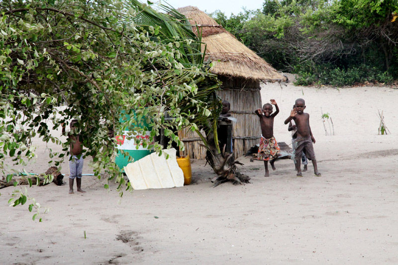
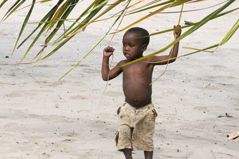
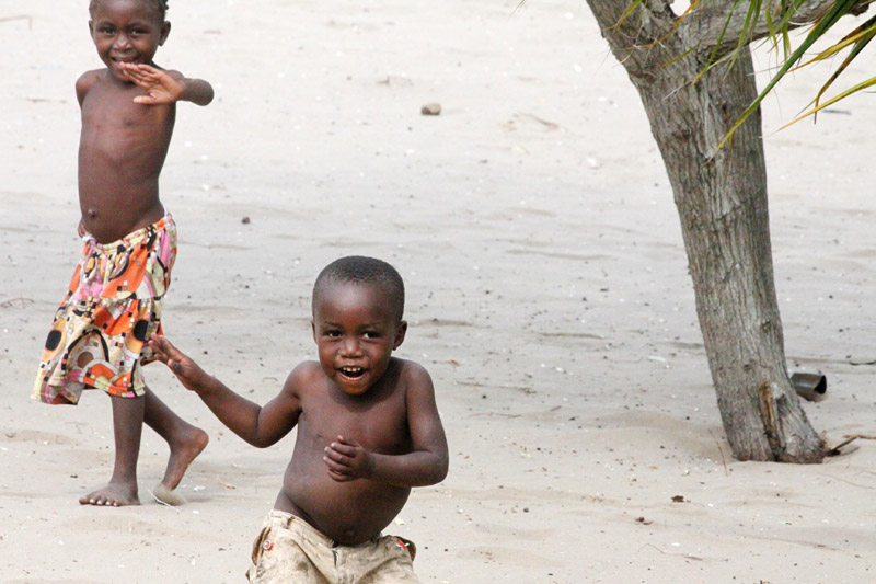
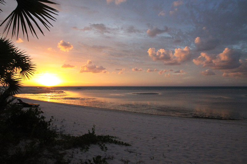
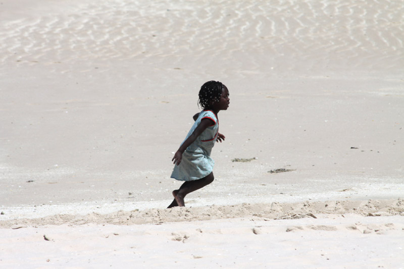
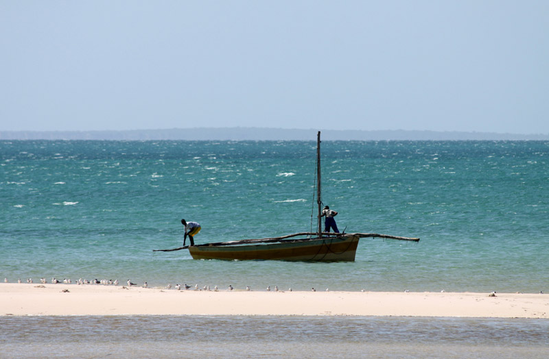
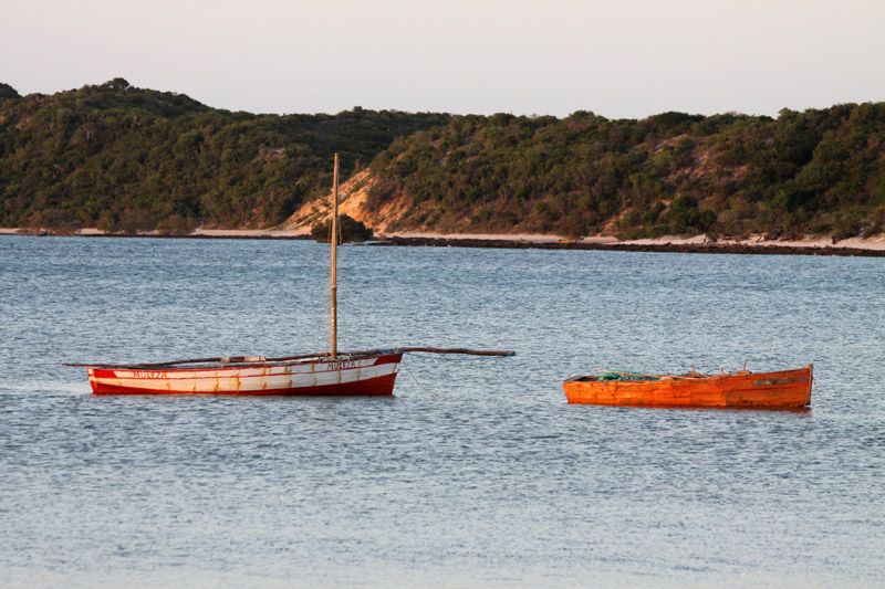
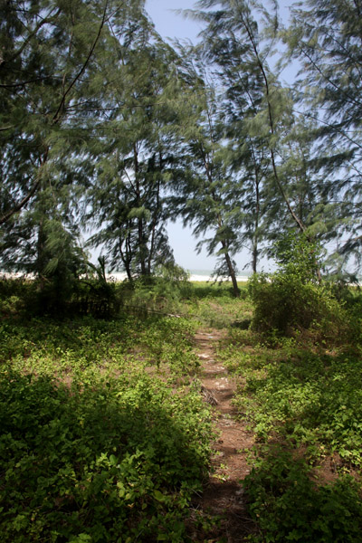
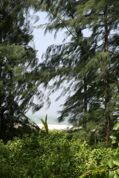
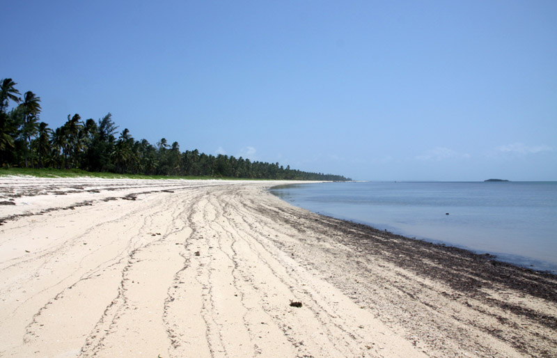
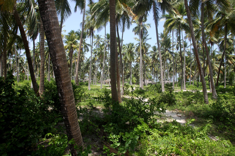
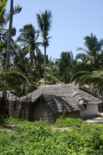
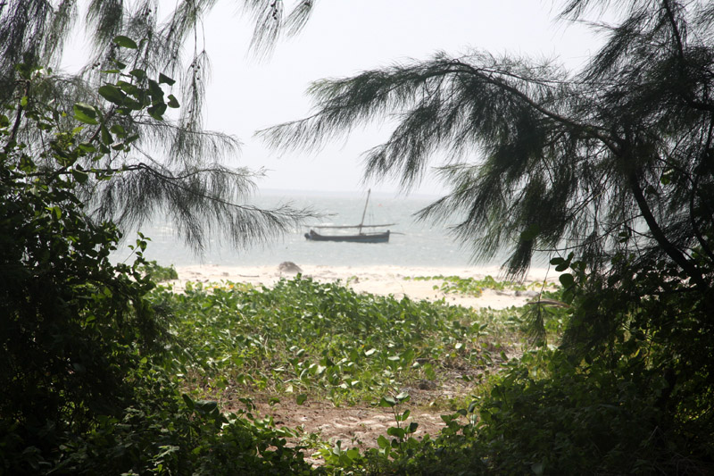
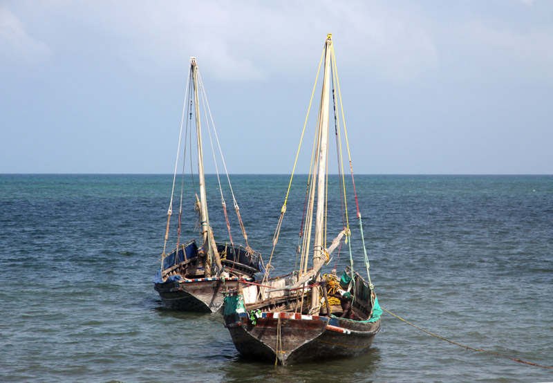
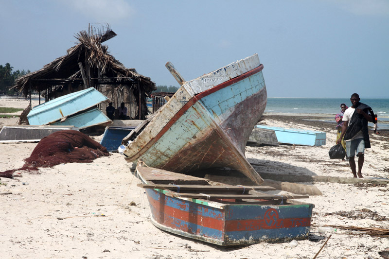
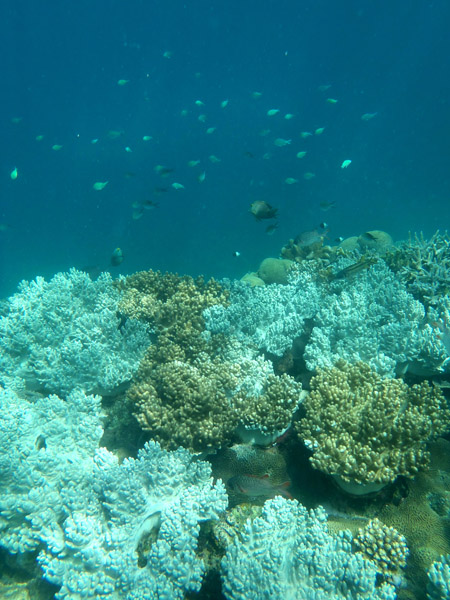
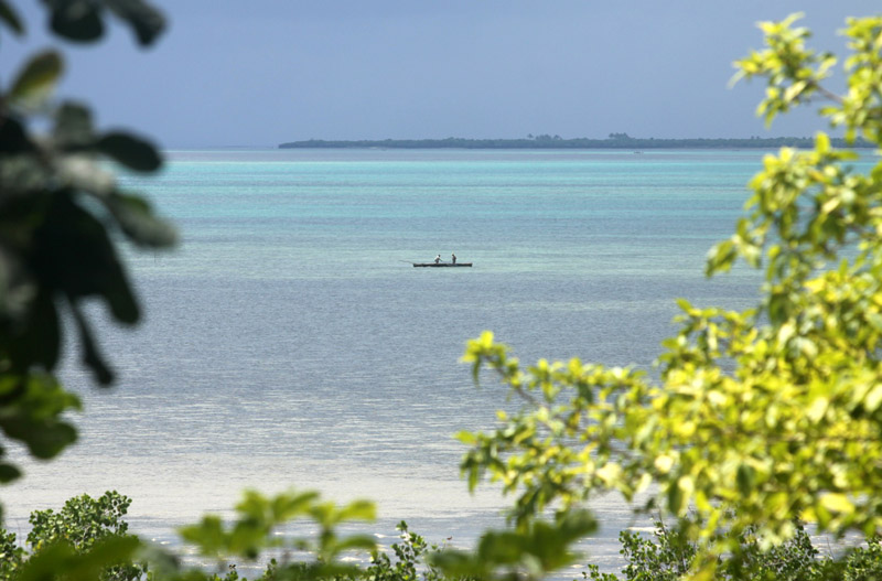
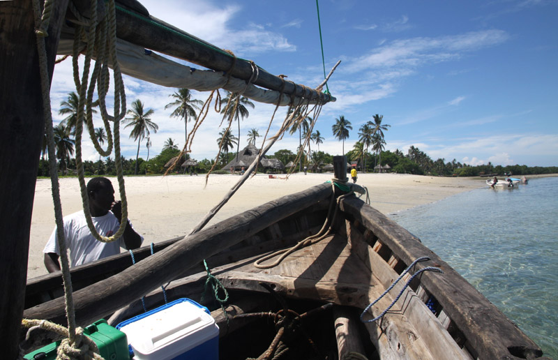
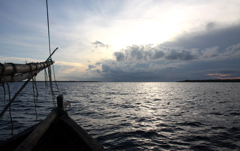
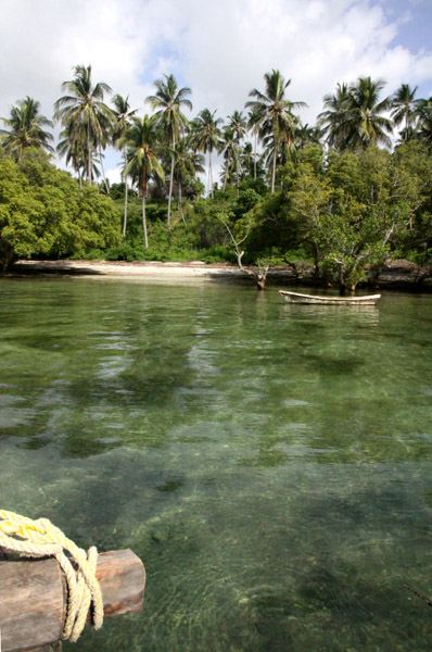
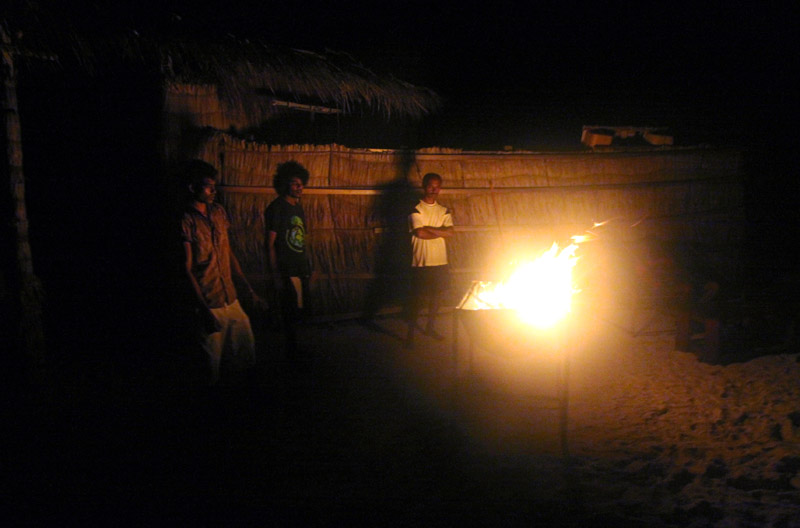
It was not easy to reach the island and even more difficult to leave it. The waves on the ocean were so big that our little boat was covered with showers of water all the time. But it was worth that, Bwejuu is the most beautiful island in the Mafia archipelago thanks to its position and its sandy banks, Bwejuu Island is less than 2 kms long and no more than 200 meters wide at its widest point.
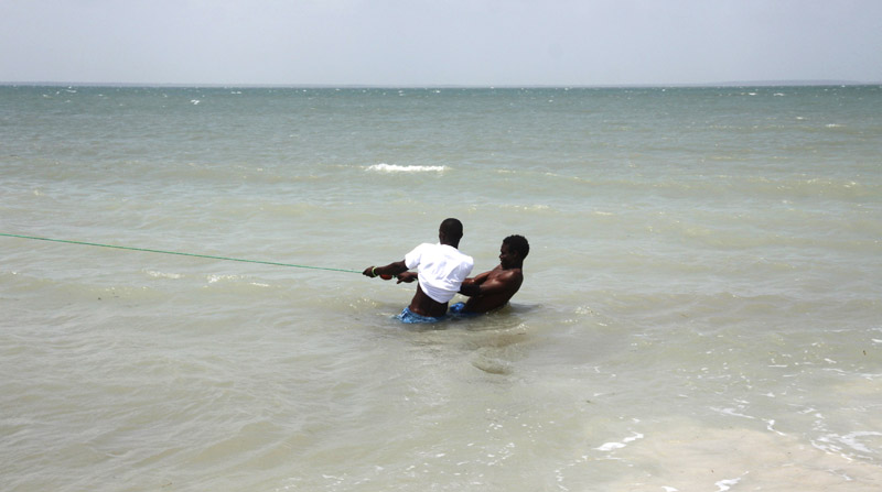
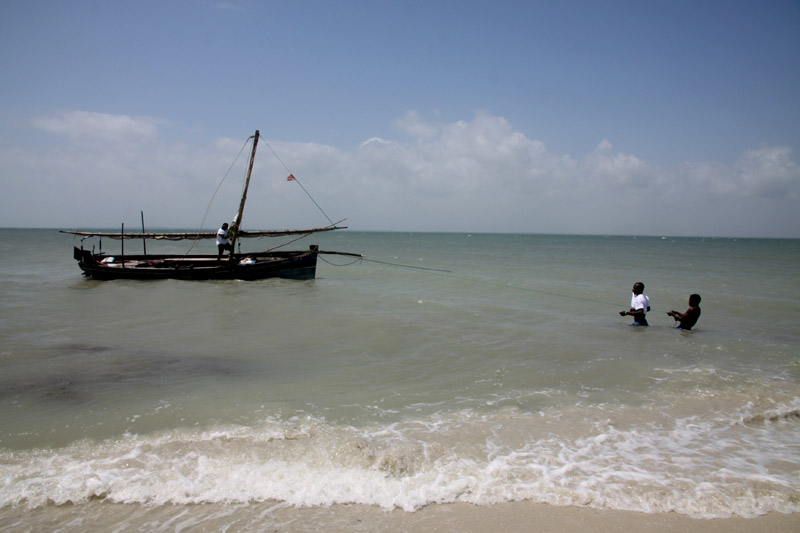
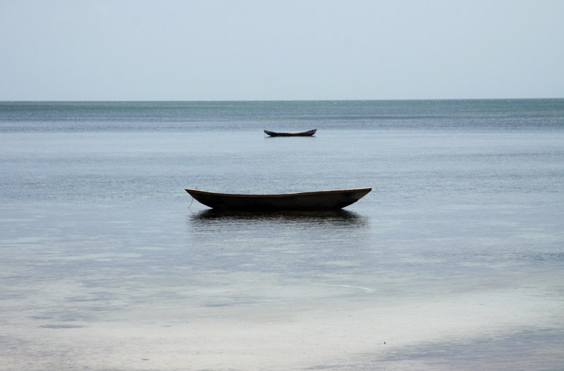


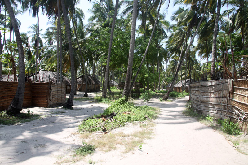
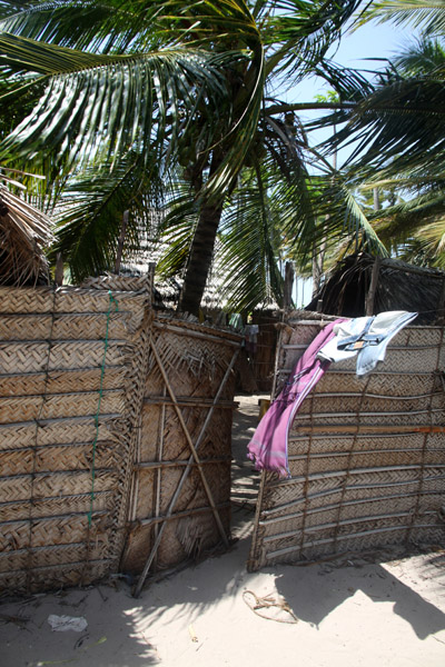
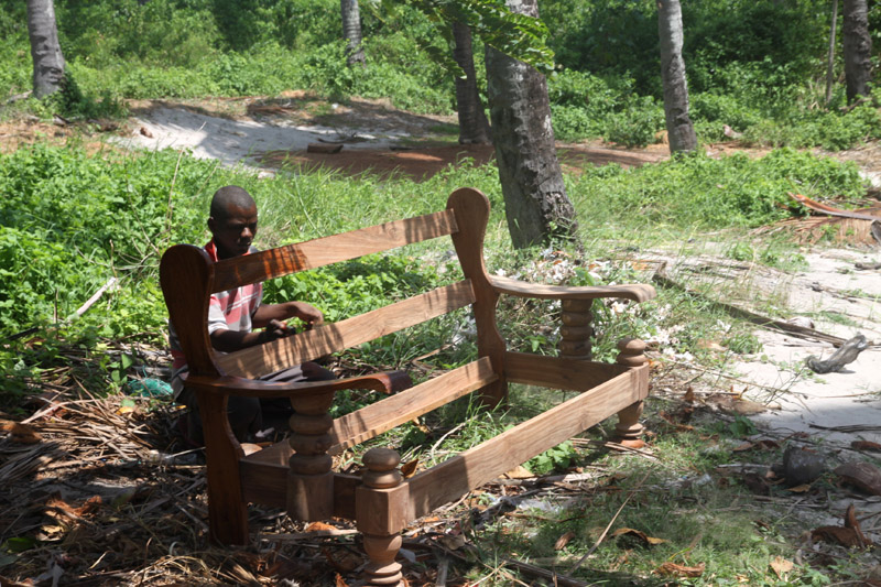
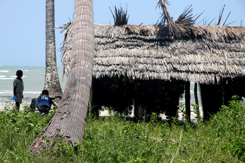

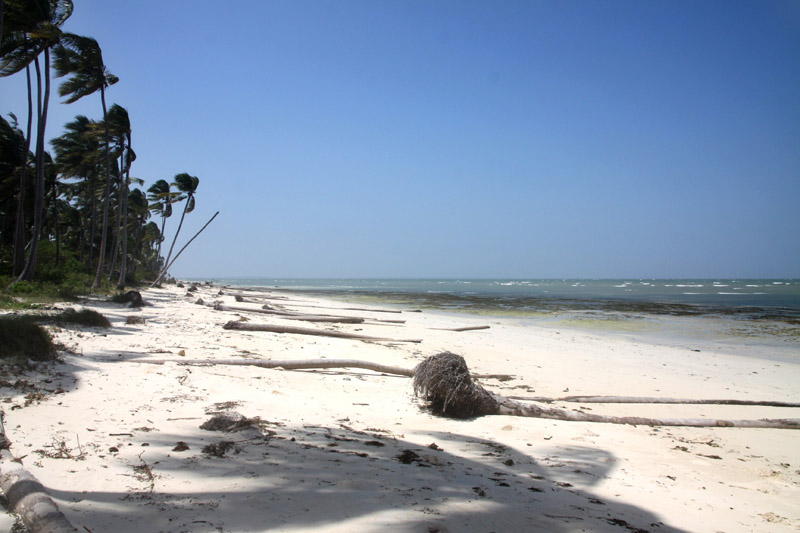

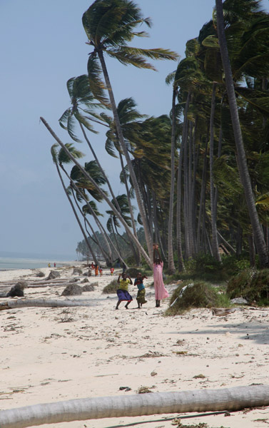
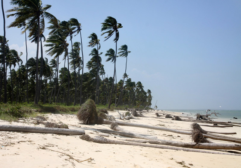
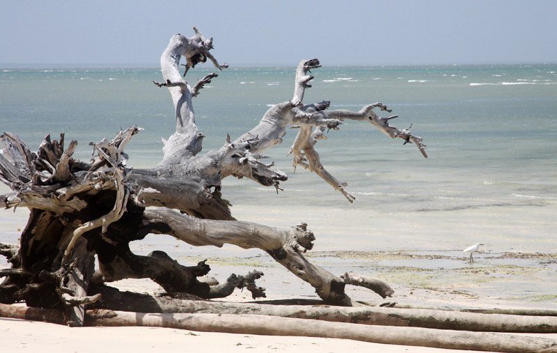
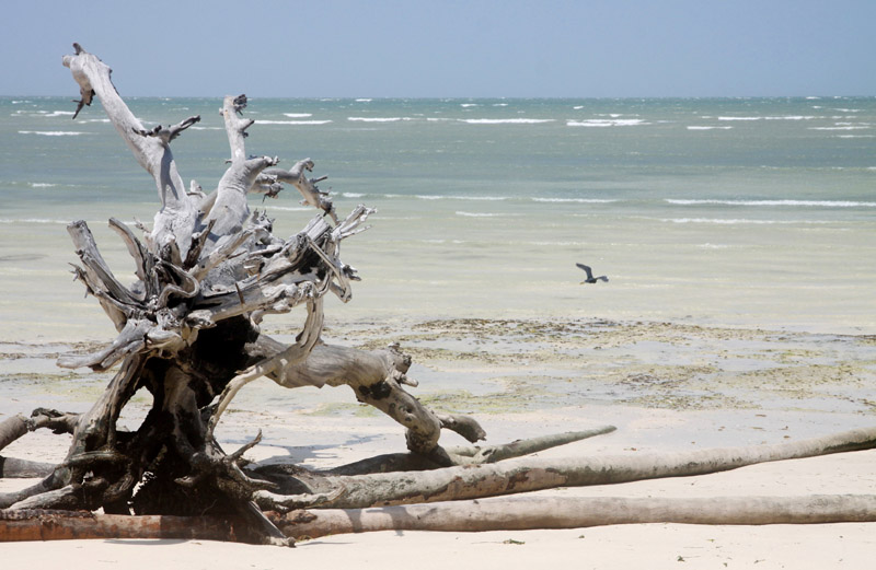
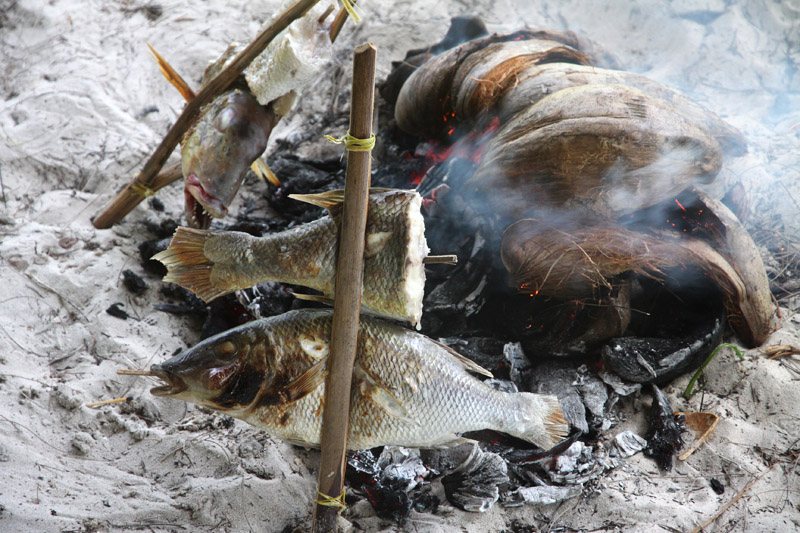
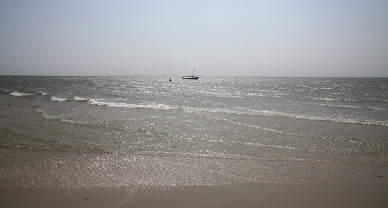

That was my second trip to this Island – absolutely not planned. I have spent almost all the time under water and that was beautiful experience. Once more (this exception – I never publish links on my page) I recommend: www.shambakilolelodge.com. Francesca and Marco – Thank you
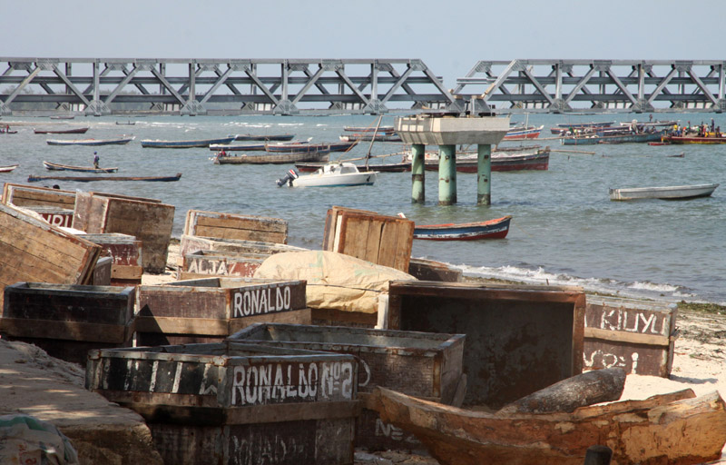
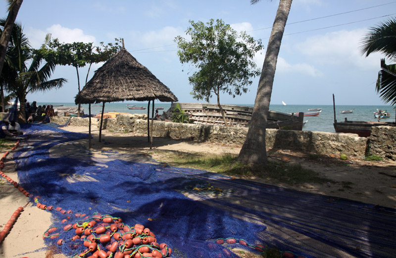
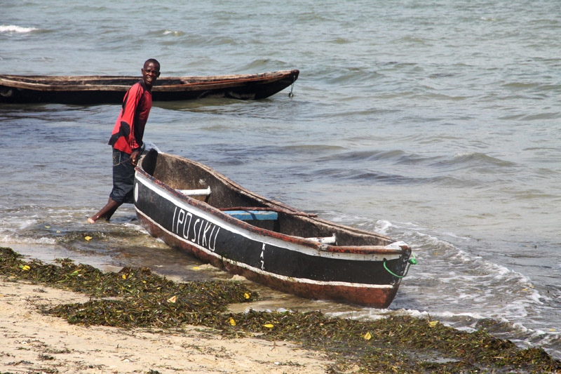
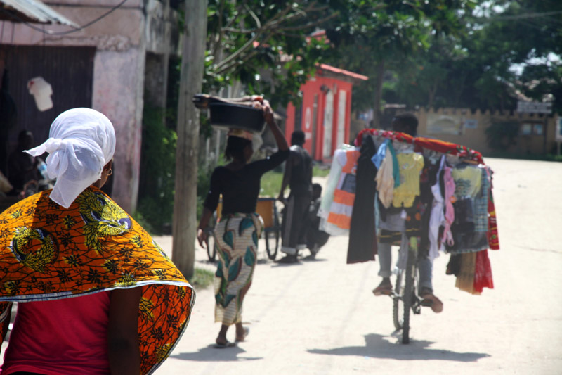
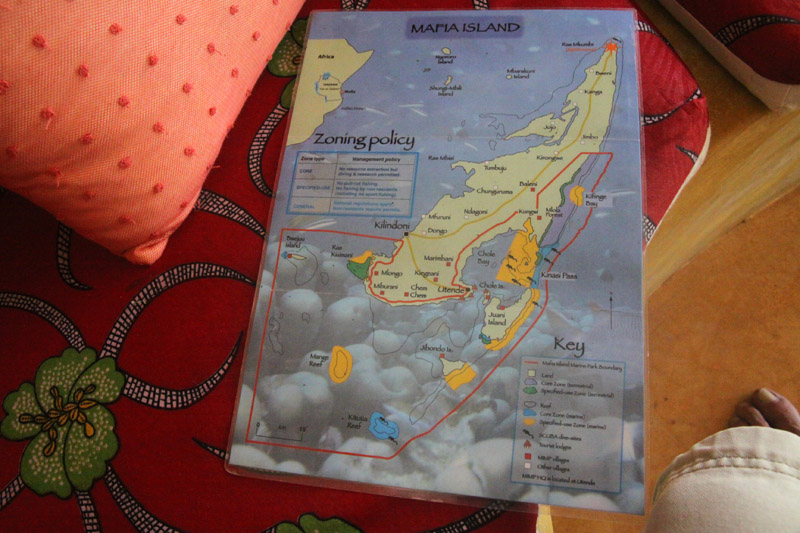
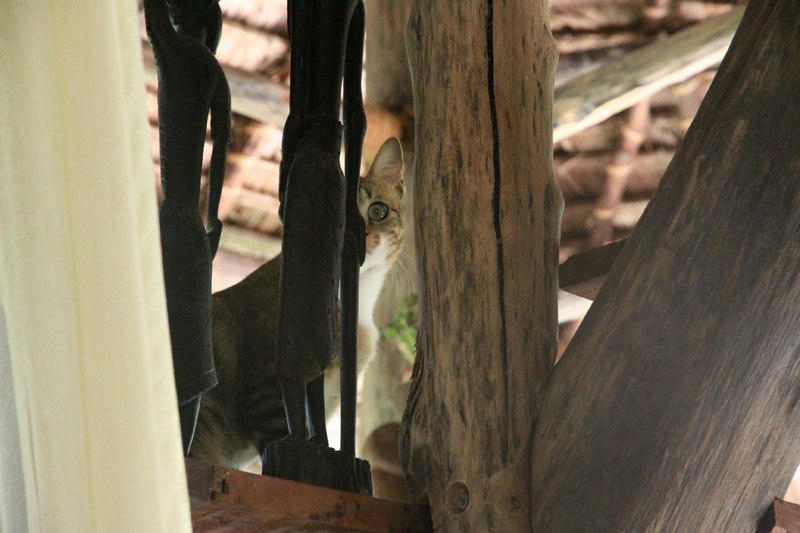


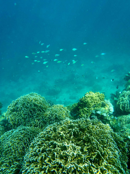

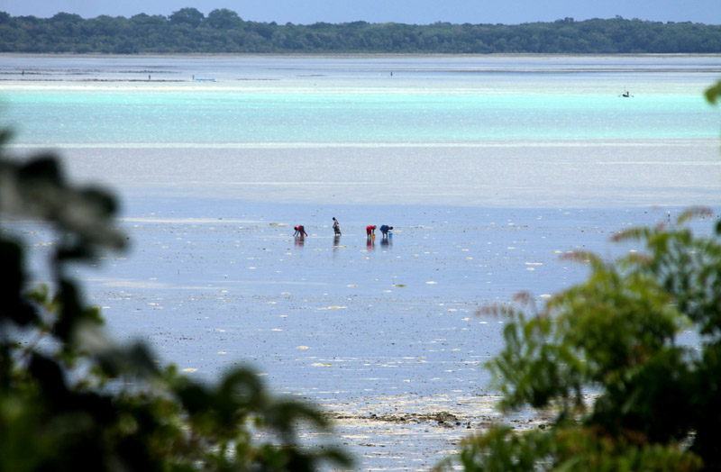
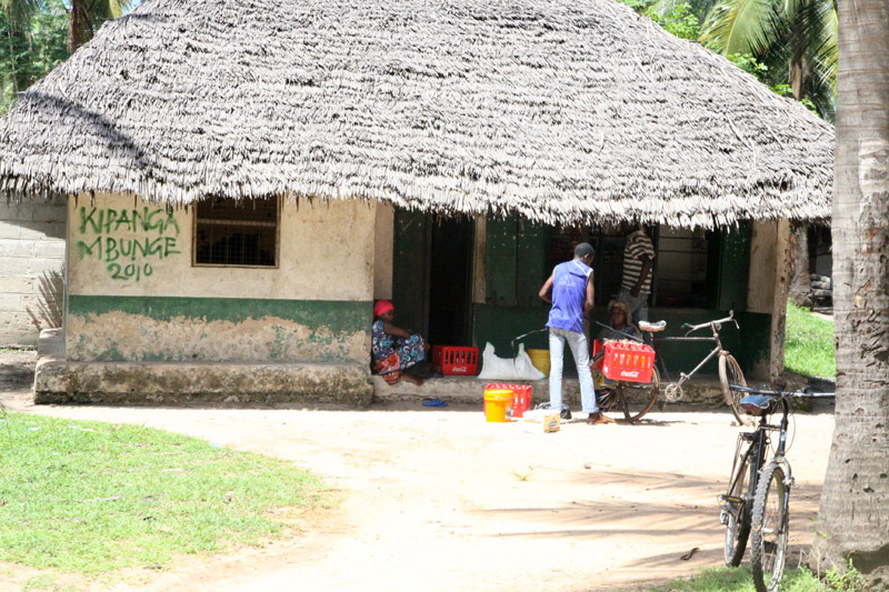
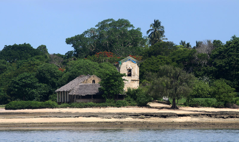
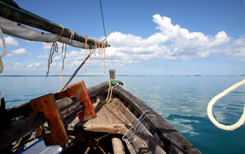
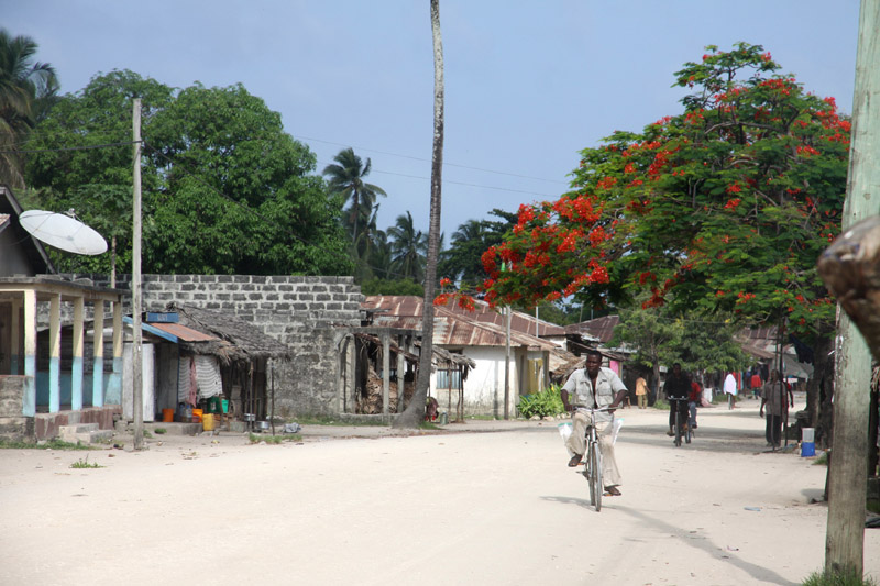
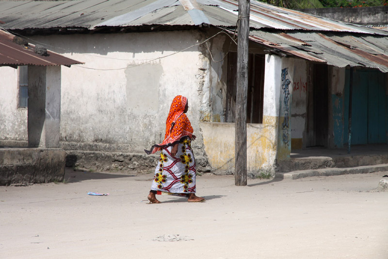
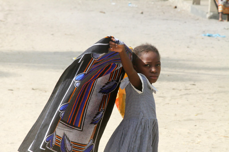
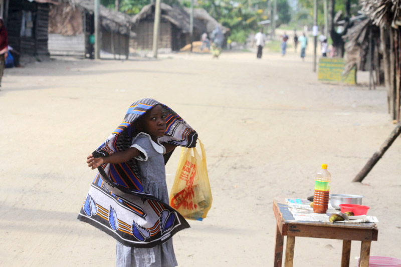
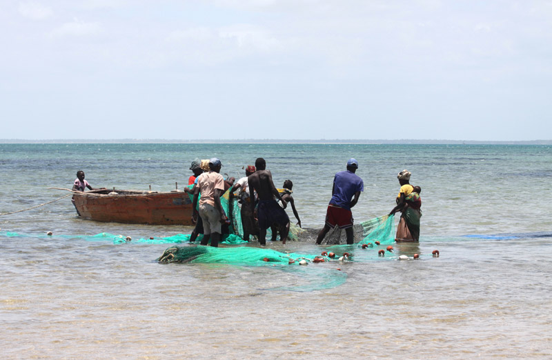
Mafia Island (“Chole Shamba”) is part of the Tanzanian Spice Islands, together with Unguja and Pemba. As one of the six districts of the Pwani Region, Mafia Island is governed from the mainland, not from the semi-autonomous region of Zanzibar, of which it has never been considered to be a part.
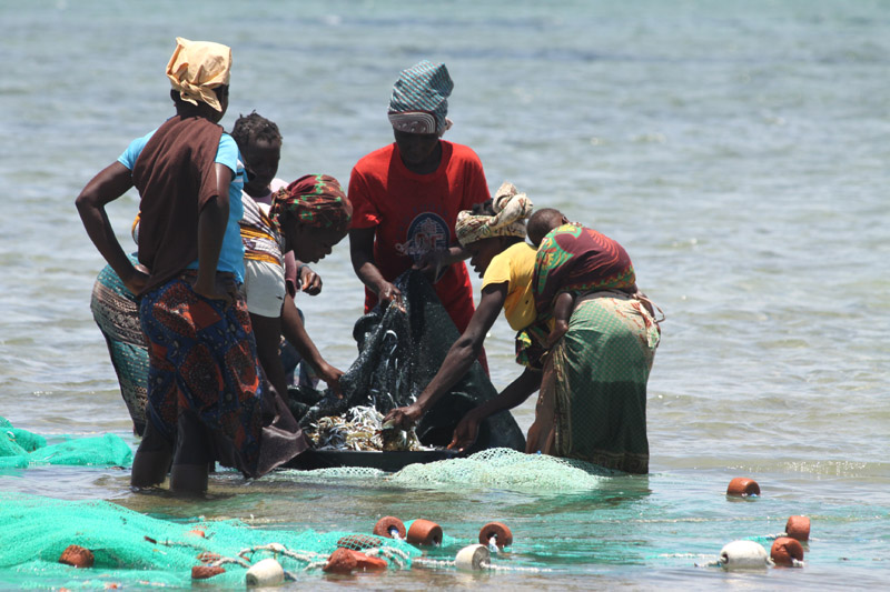
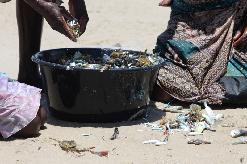
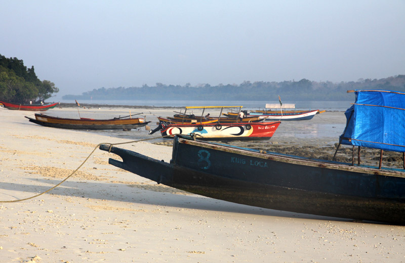
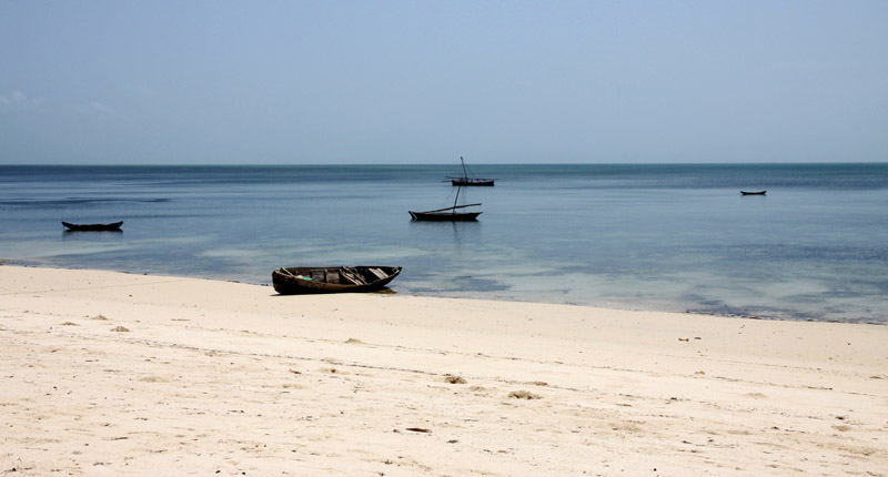
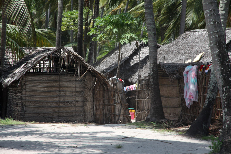
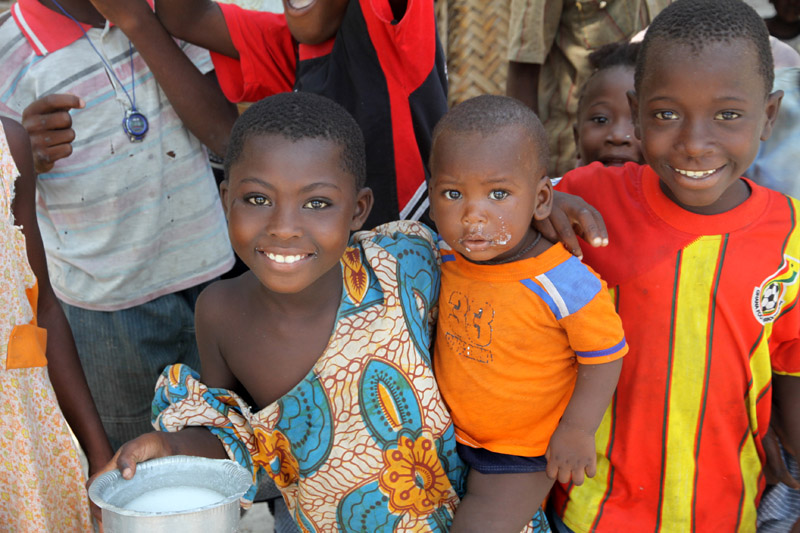
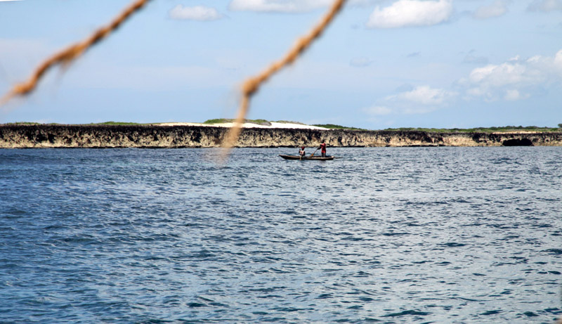
According to the 2002 Tanzania census, the population of the Mafia District was 40,801.The economy is based on fishing, subsistence agriculture and the black market. The island attracts some tourists, mainly adventure scuba divers, game fishermen, and people wanting relaxation.
The Mafia archipelago consists of one large island (394 km²) and numerous smaller ones. Some of these are inhabited, such as Chole Island (2 km²), with a population of 800. Chole Bay, Mafia’s protected deep-water anchorage and original harbour, is studded with islands, sandbanks and beaches. The main town is Kilindoni. The stretch of water between the deltas of the Rufiji River and the island is called Mafia Channel. There are popular rumours of pygmy hippo on the island but there are zero confirmed sightings.
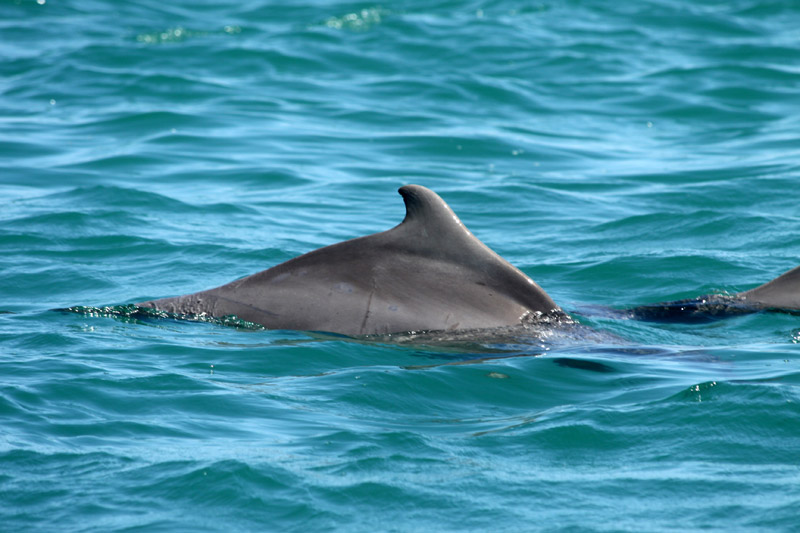
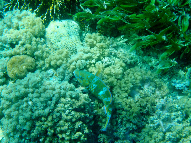
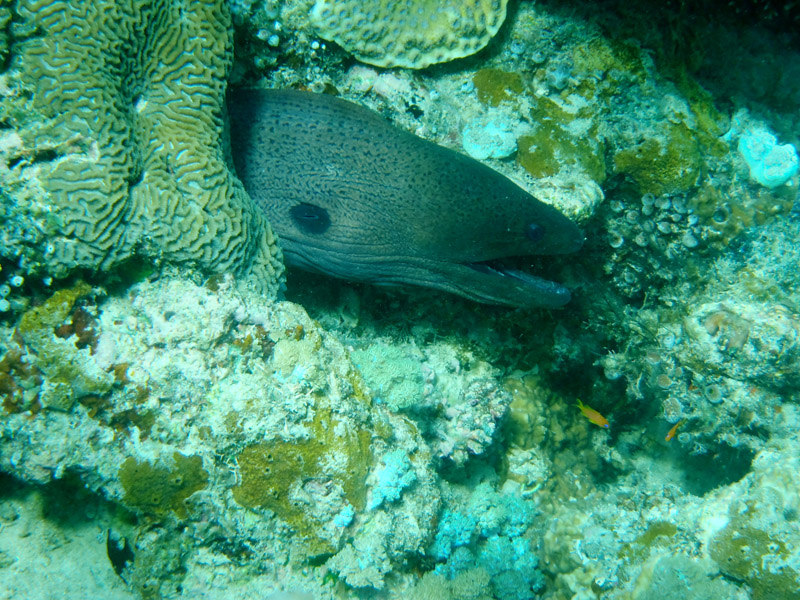
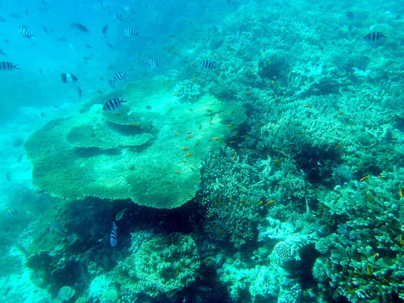
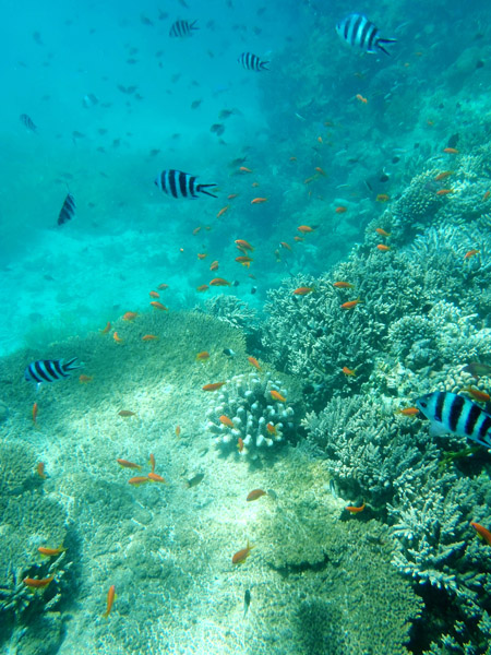
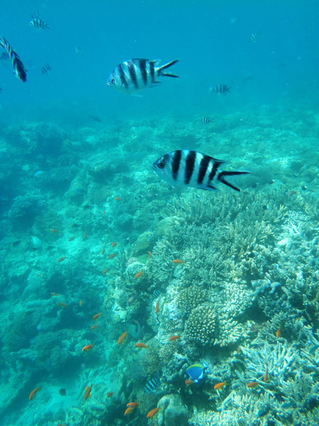
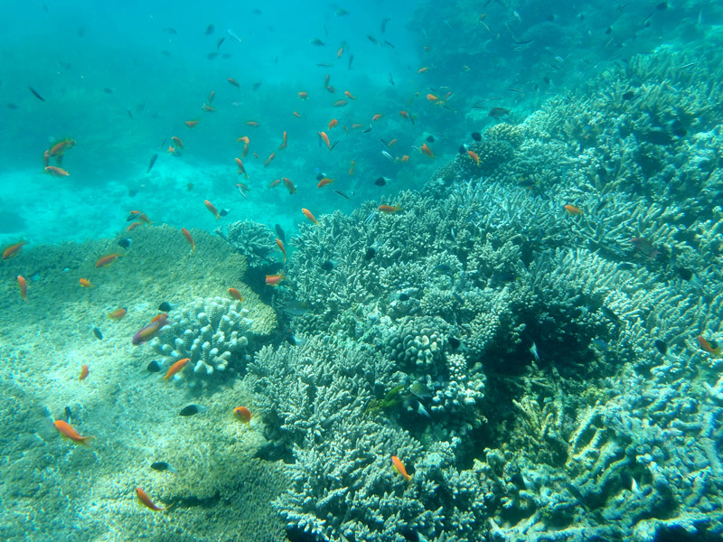
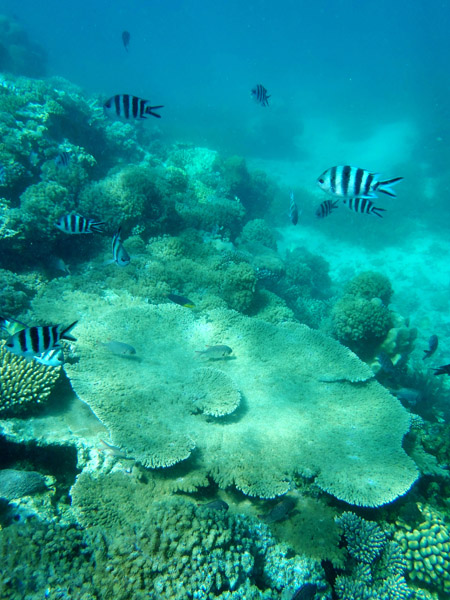
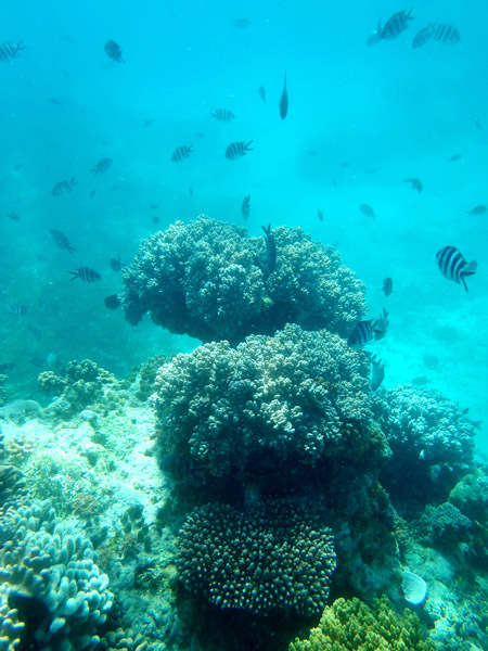
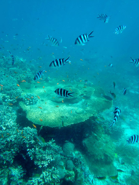
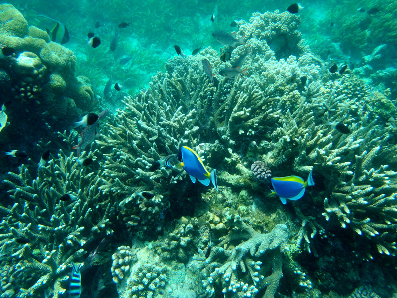
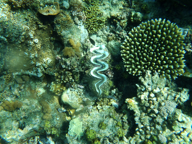
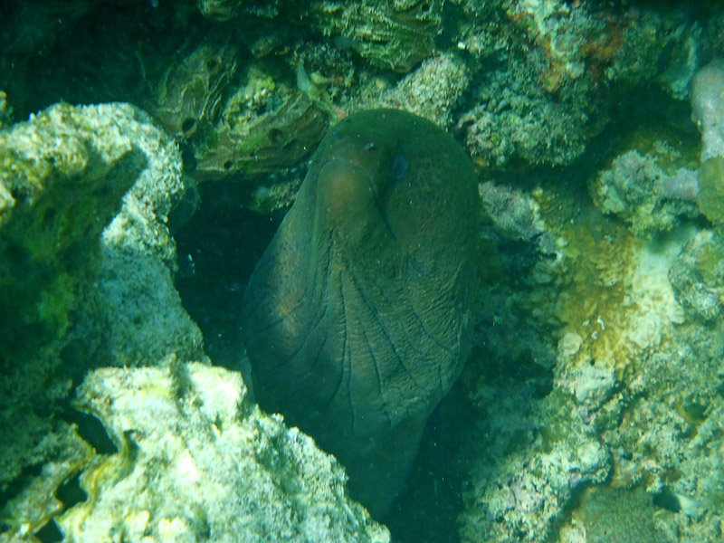
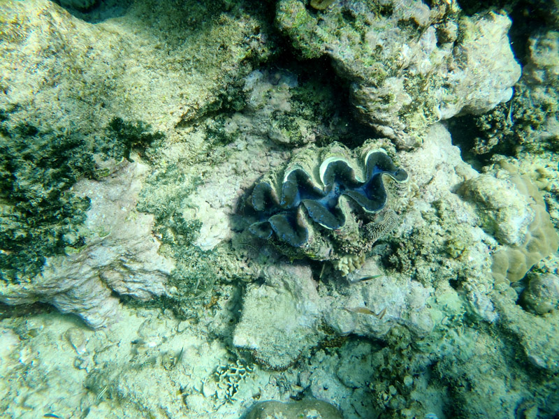
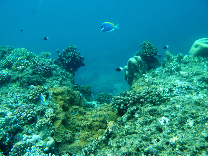
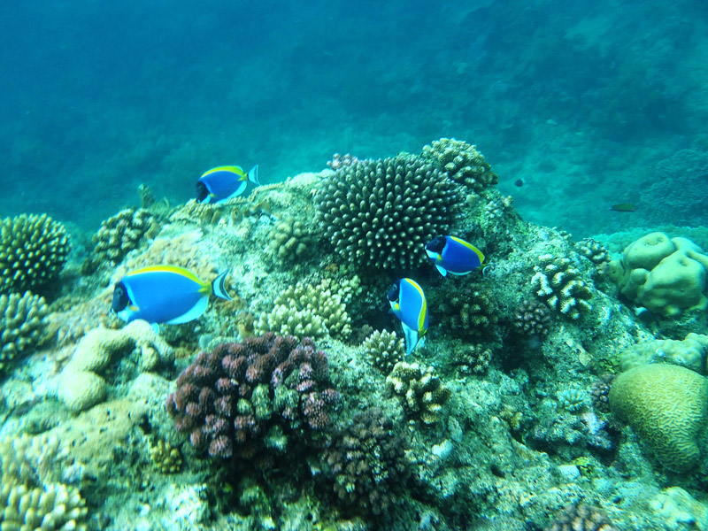
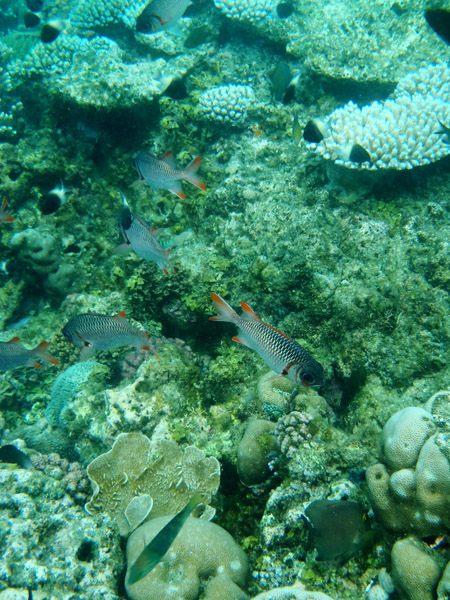
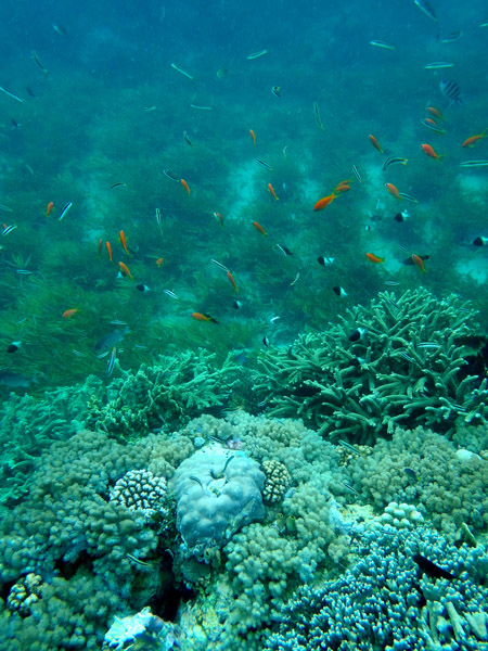
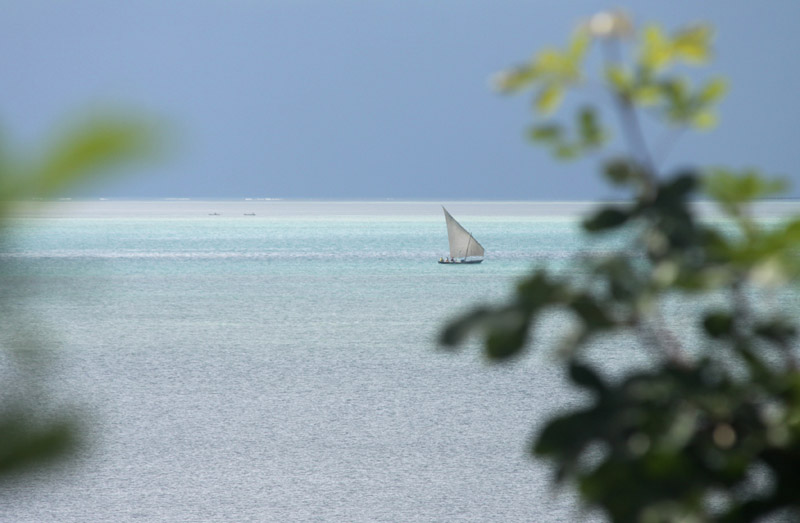
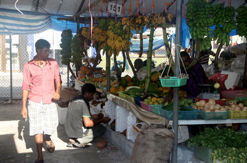
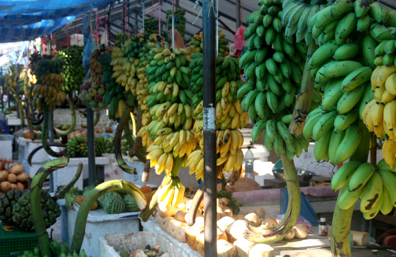
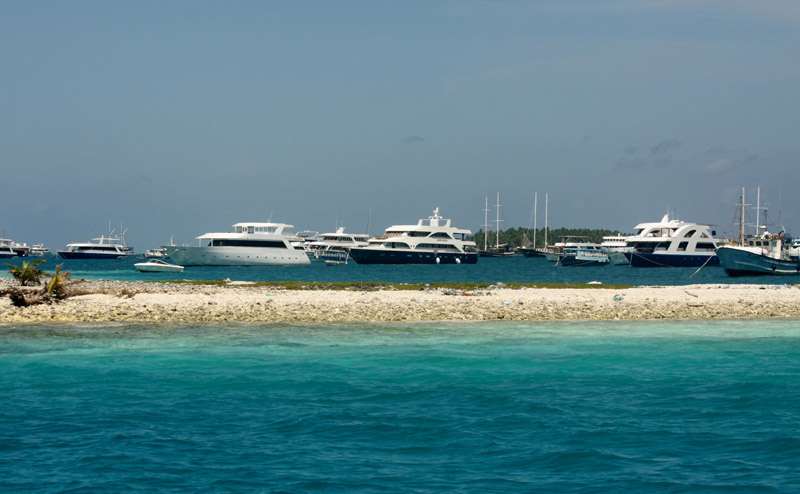
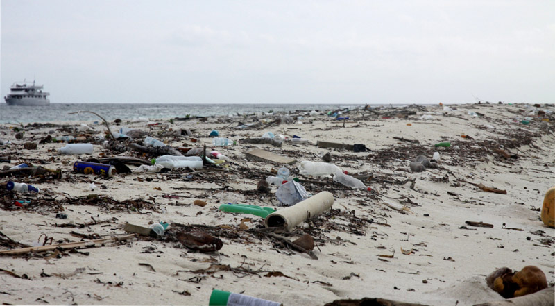
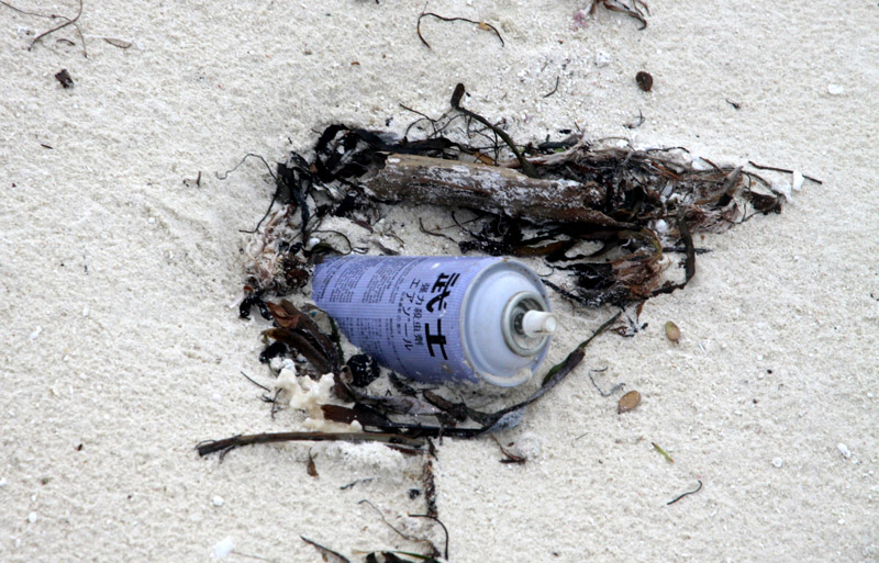
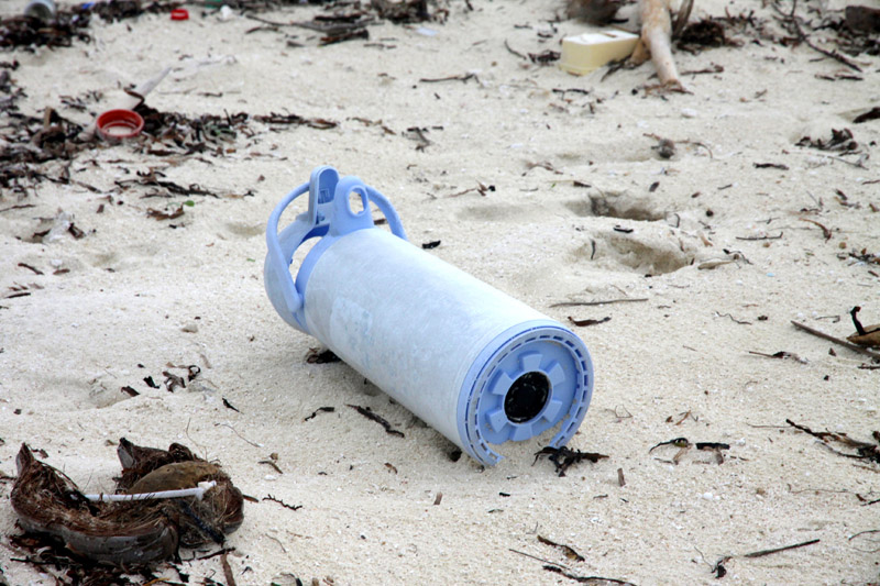
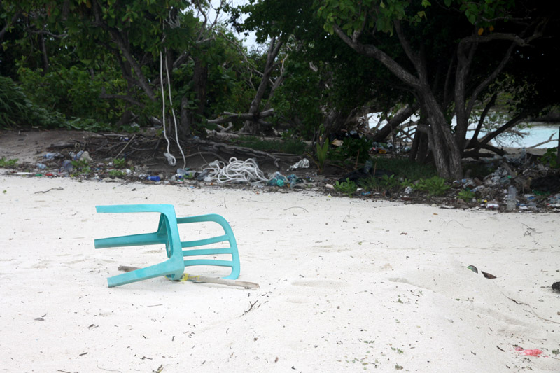
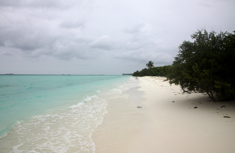
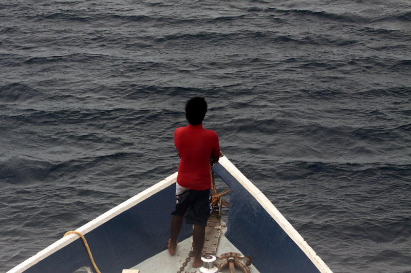
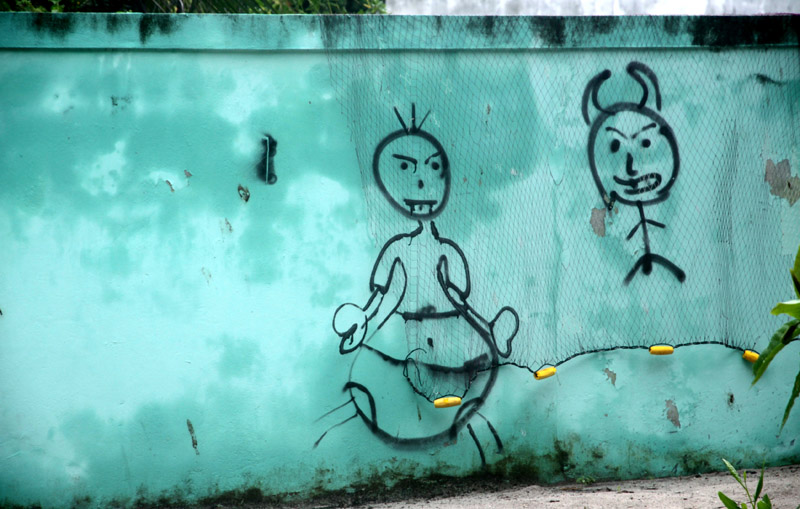
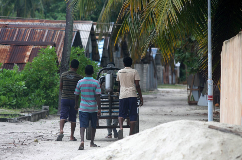
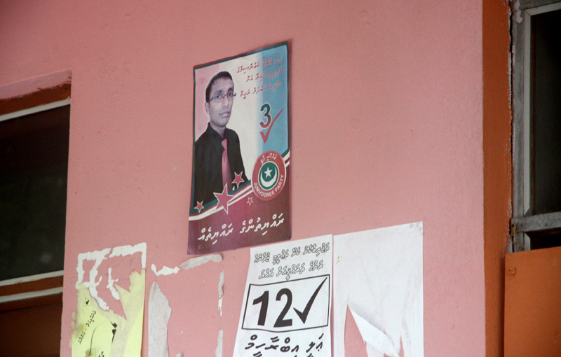
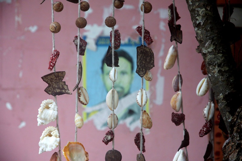
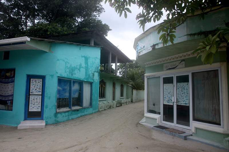
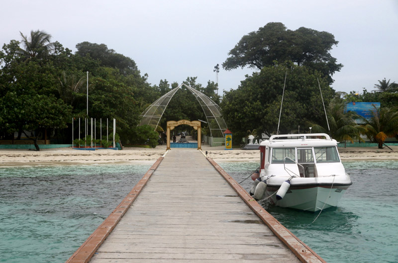
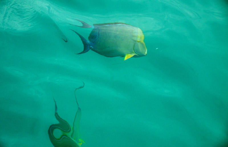
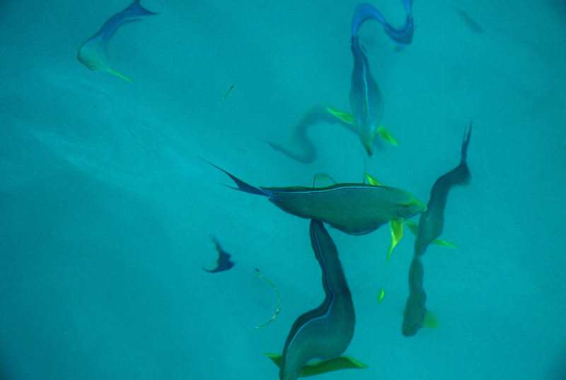
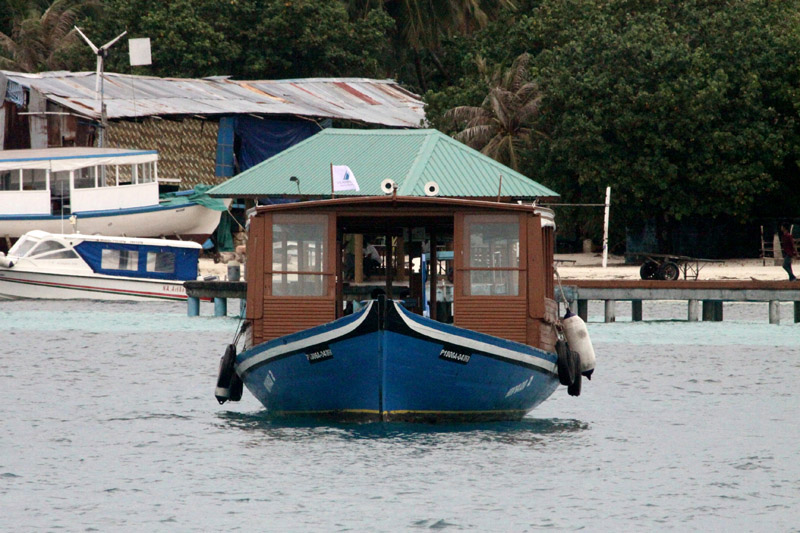
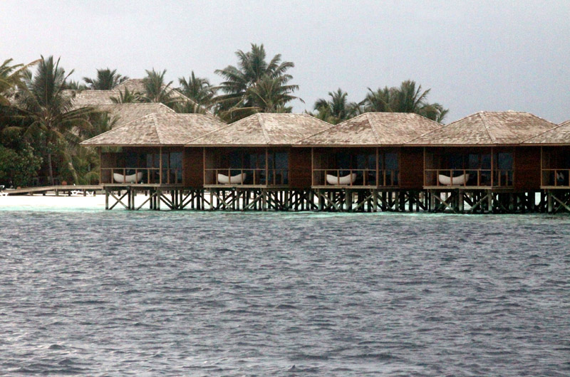
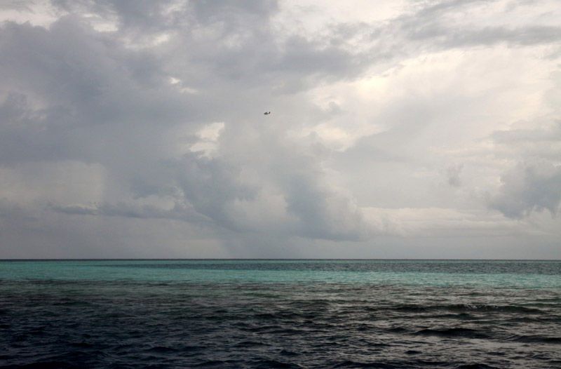
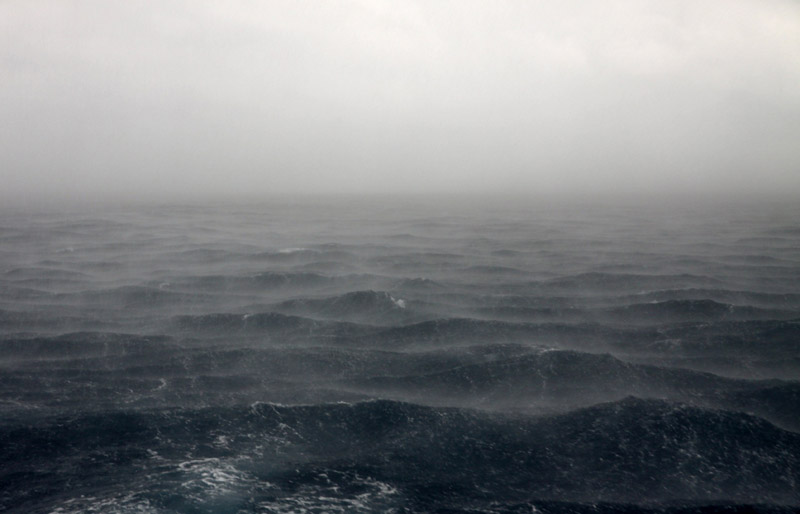
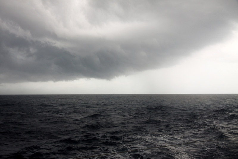
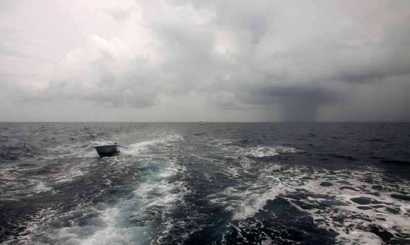
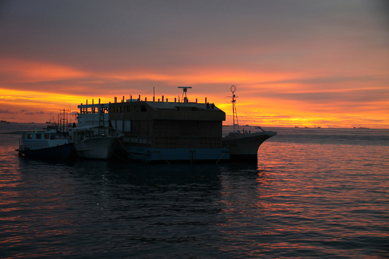
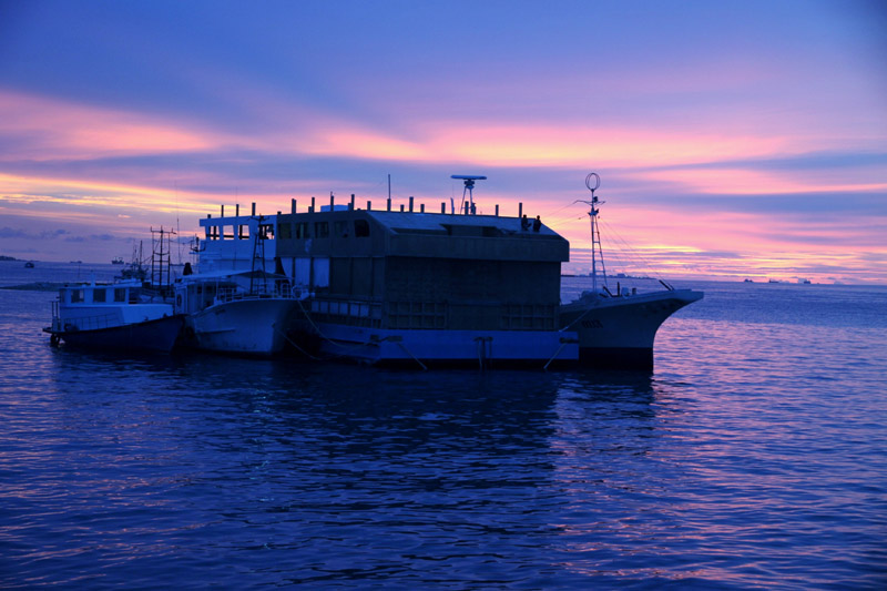
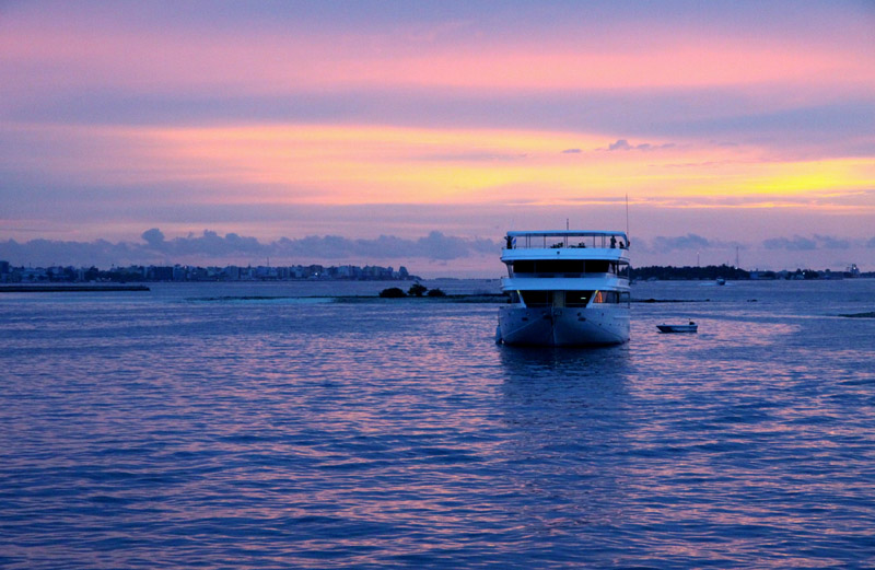
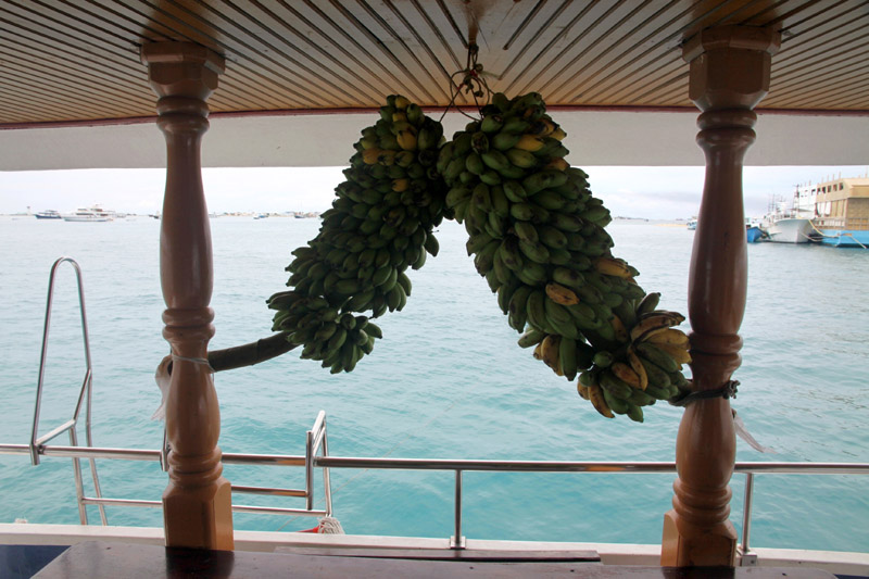
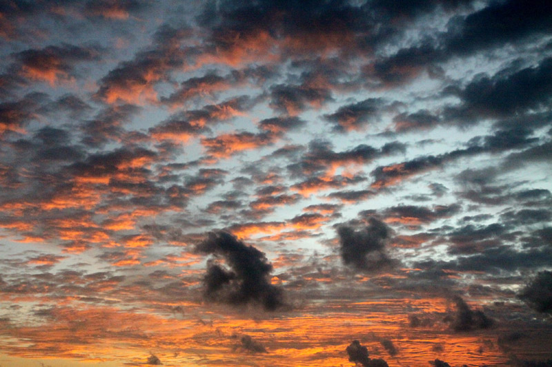
That was short cruise in the Maldives. I have visited Male Atoll, South Male Atoll, Ari (Alifu) Atoll, Felidhe (Vaavu) Atoll, Dhangeti, Guraidhoo, Dhigurah. The worst trip from all of my expeditions. Yet, I have seen the pictures of the country that are different than usually presented.
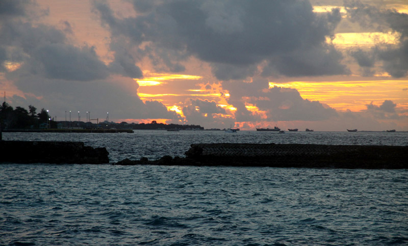
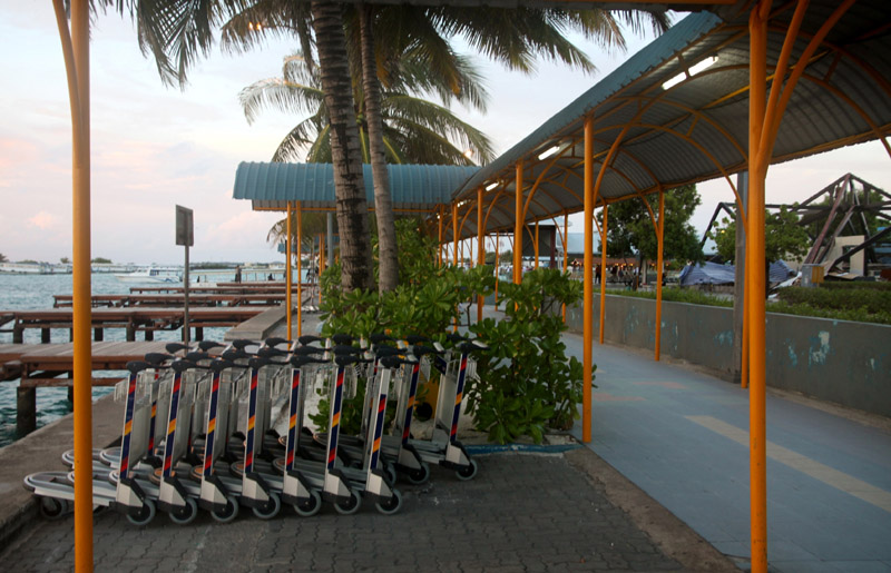
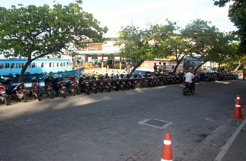

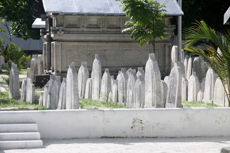
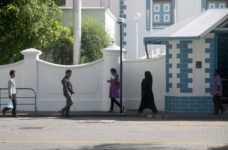
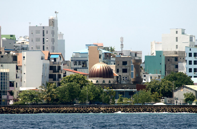
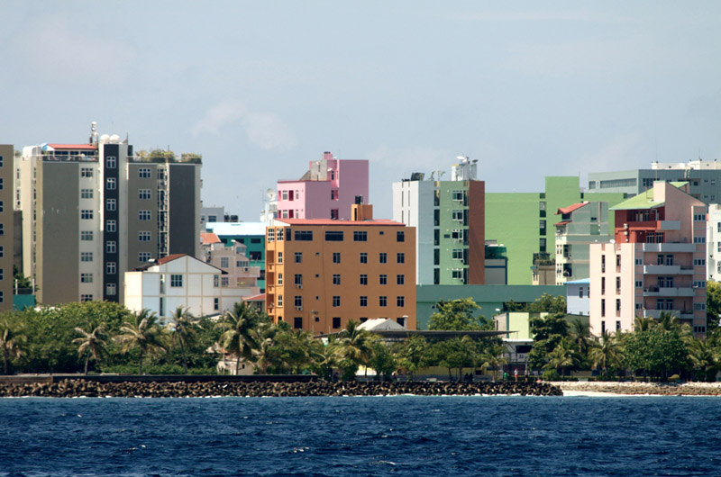
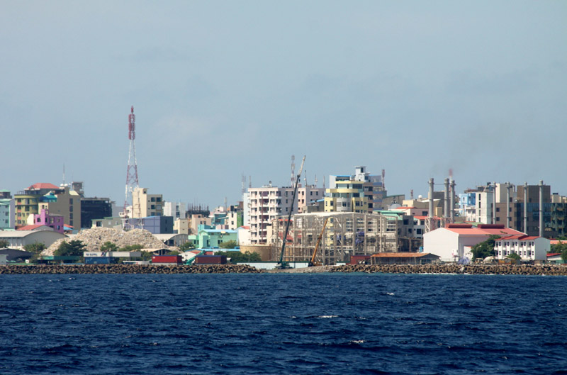
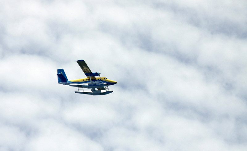
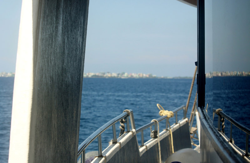
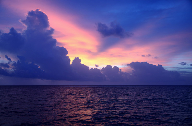
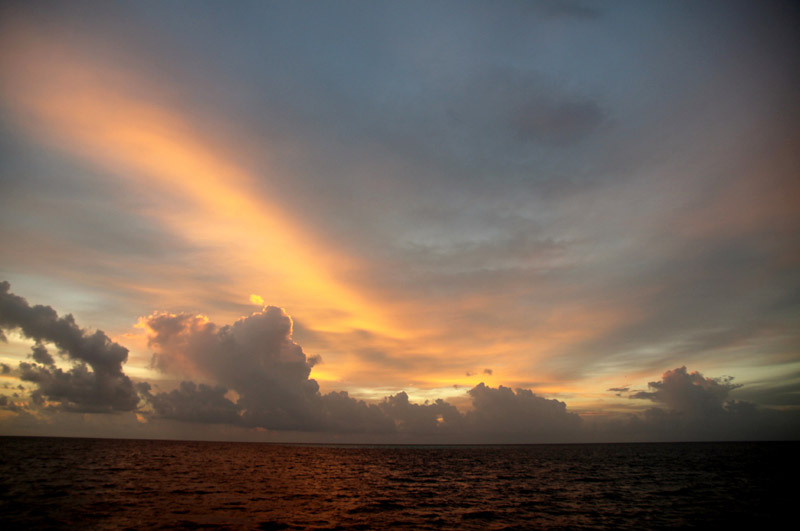
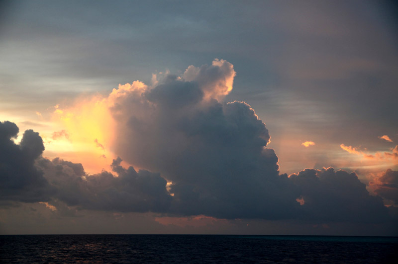
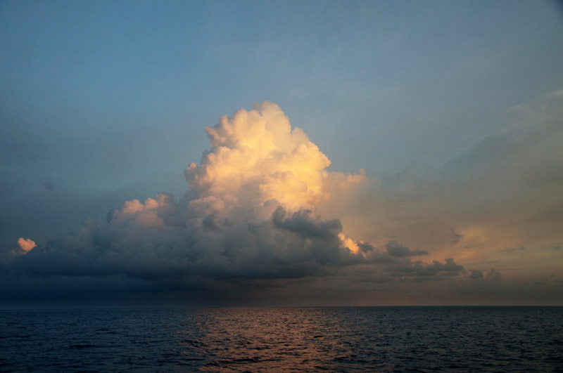
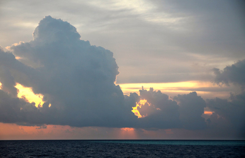

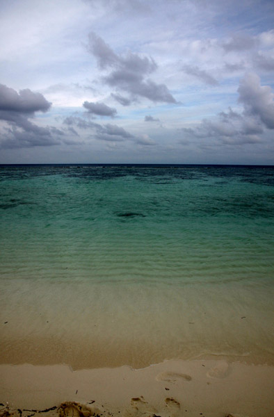
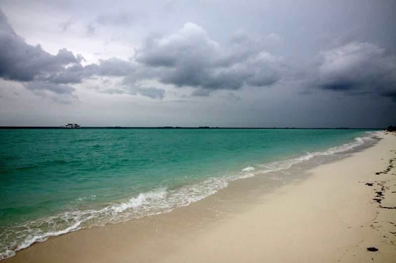
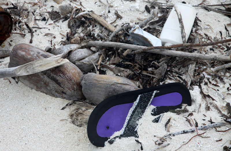
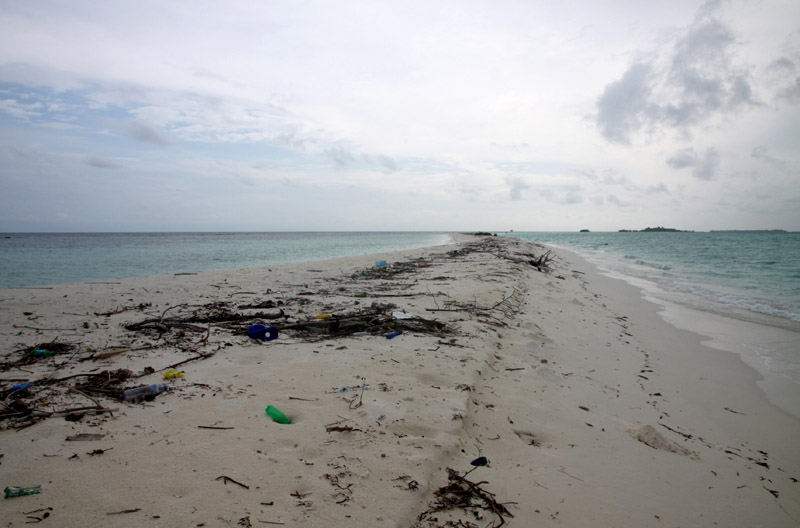
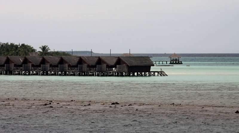
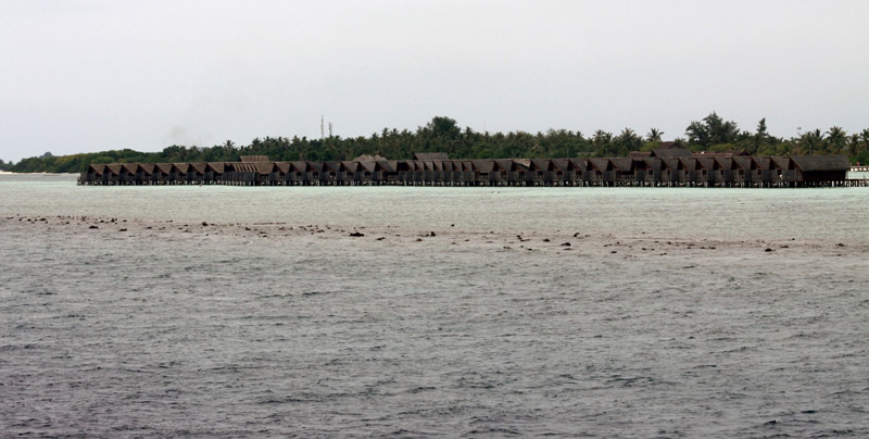


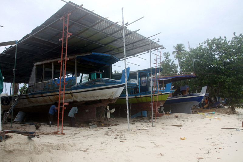
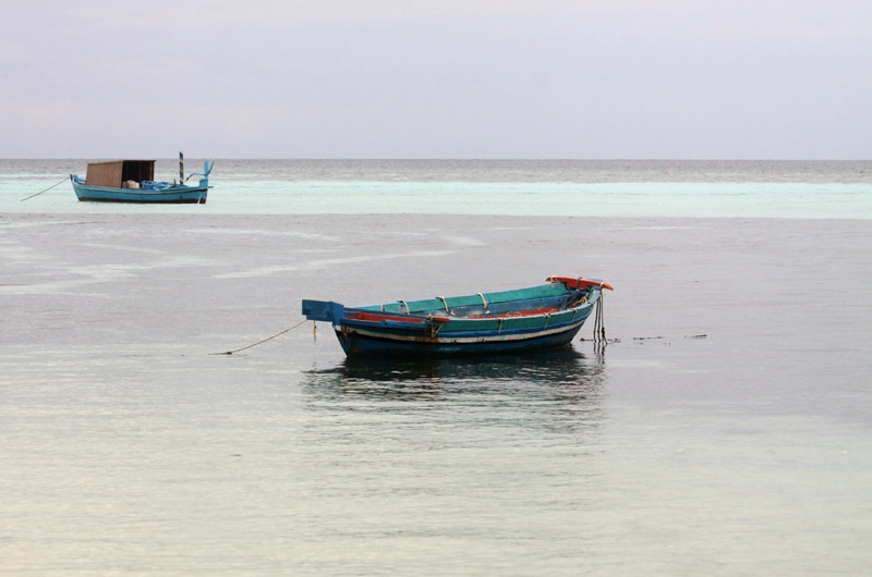


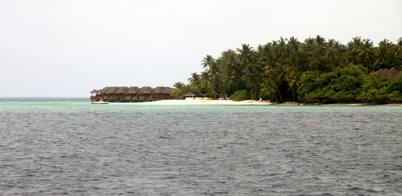
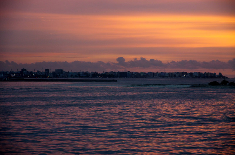
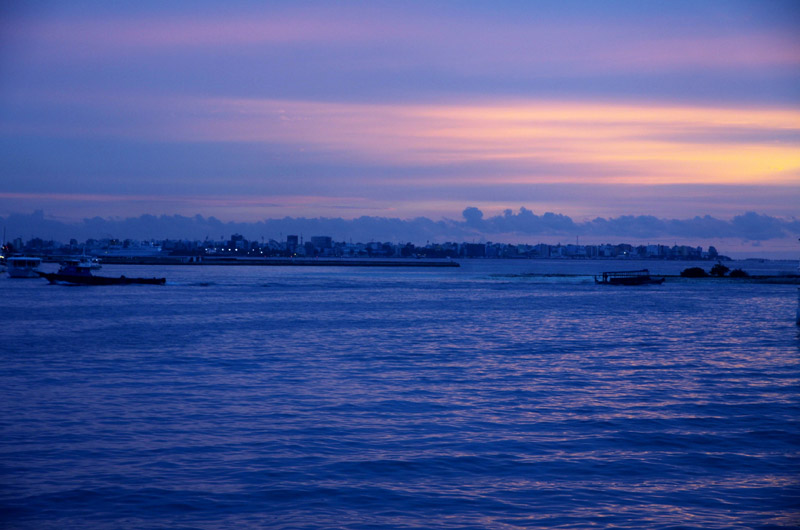
The Maldives (Listeni/ˈmɒldaɪvz/ or /ˈmɒldiːvz/), (Dhivehi: ދިވެހިރާއްޖެ, Dhivehi Raa’je), officially Republic of Maldives (Dhivehi: ދިވެހިރާއްޖޭގެ ޖުމްހޫރިއްޔާ, Dhivehi Raa’jeyge Jumhooriyya), also referred to as the Maldive Islands, is an island nation in the Indian Ocean formed by a double chain of twenty-six atolls oriented north-south off India’s Lakshadweep islands, between Minicoy Island and Chagos Archipelago. It stands in the Laccadive Sea, about 700 kilometres (430 mi) south-west of Sri Lanka and 400 kilometres (250 mi) south-west of India. During the colonial era, the Dutch referred to the country as “Maldivische Eilanden” in their documentation, while “Maldive Islands” is the anglicised version of the local name used by the British, which later came to be written “Maldives”.
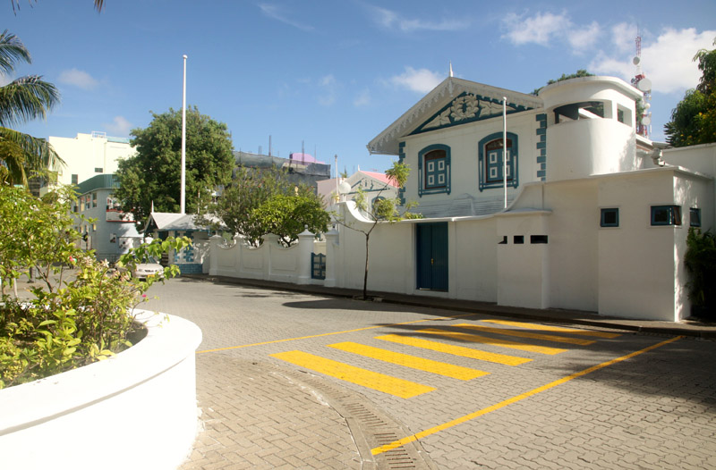
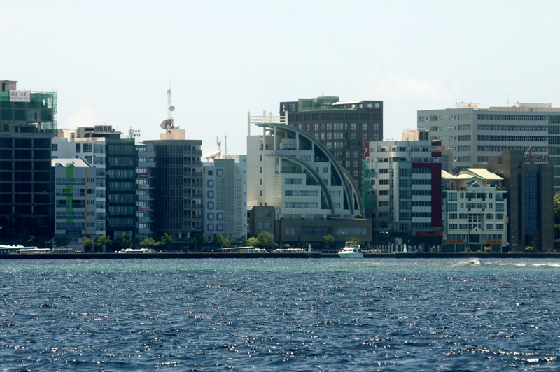
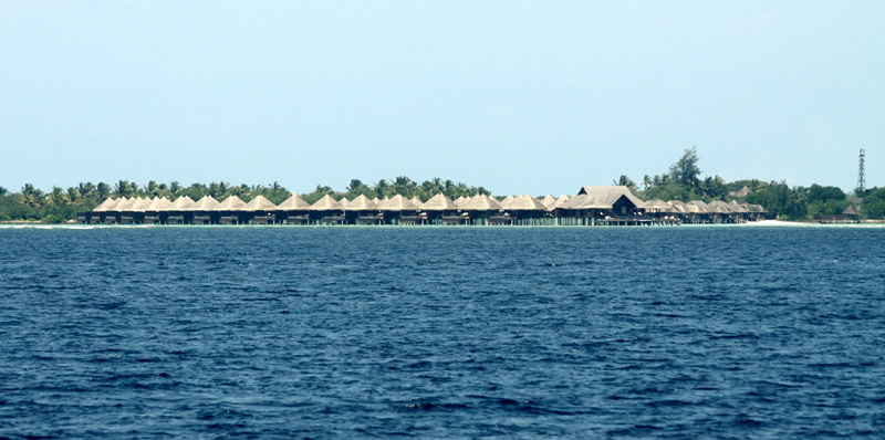
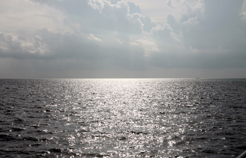
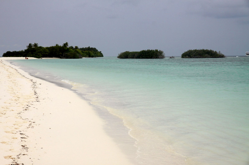
The archipelago is located on top of the Chagos-Maldives-Laccadive Ridge a vast submarine mountain range in the Indian Ocean. The Maldives also form a terrestrial ecoregion together with the Chagos and the Lakshadweep. The atolls of the Maldives encompass a territory spread over roughly 90,000 square kilometres (35,000 sq mi), making it one of the world’s most dispersed countries in geographic terms. Its population of 313,920 (2010) inhabits 200 of its 1,192 islands. Maldives’ capital and largest city Malé had a population of 103,693 in 2006. It is located at the southern edge of North Malé Atoll, in the Kaafu Atoll. It is also one of the Administrative divisions of the Maldives. Traditionally it was the King’s Island where the ancient Maldive Royal dynasties were enthroned.