Categories
Galapagos

Isabela

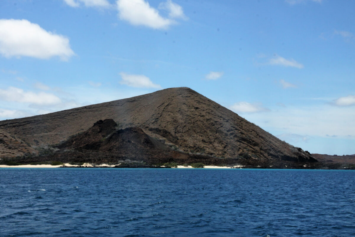
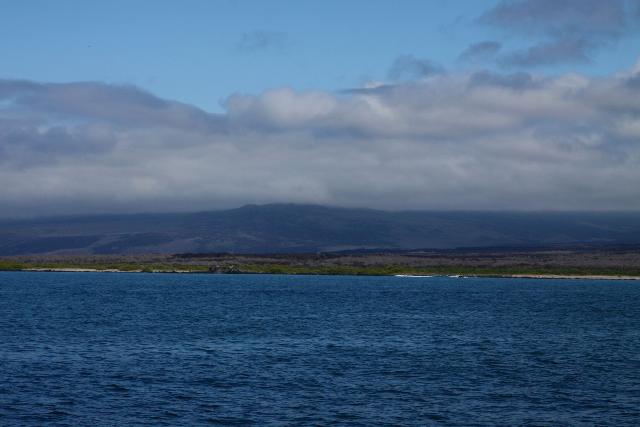
Isabela Island (Spanish pronunciation: [isaˈβela]) is the largest island of the Galápagos with an area of 4,586 square kilometres (1,771 sq mi) and length of 100 kilometres (62 mi), almost four times larger than Santa Cruz, the second largest of the archipelago. Isabela Island is larger than every other island in the Galápagos combined. It was named after Queen Isabella I of Castile. The island straddles the equator. This island was originally named Albemarle Island for the Duke of Albemarle by Ambrose Cowley, one of the first Europeans to set foot on the islands, in 1684.

Source: Wikipedia (under GNU Free Documentation License)

Categories
Galapagos

Santa Cruz

Santa Cruz Island (Spanish pronunciation: [ˈsanta ˈkɾus]) is one of the Galápagos Islands with an area of 986 km2 (381 sq mi) and a maximum altitude of 864 metres (2,835 ft). Situated in the center of the archipelago, Santa Cruz is the second largest island after Isabela. Its capital is Puerto Ayora, the most populated urban centre in the islands. On Santa Cruz, there are some small villages, whose inhabitants work in agriculture and cattle raising.

The island is an oval-shaped, 32 km (20 mi) long and 40 km (25 mi) wide shield volcano. Its summit contains a shallow caldera that has been largely buried by youthful pit craters and cinder cones with well-preserved craters. The most recent eruptions may have occurred only a few thousand years ago with the effusion of sparsely vegetated lava flows from vents on the north flank and along the summit fissure. A gigantic lava tube measuring over 2,000 m (6,600 ft) long is a tourist attraction on the island. As a testimony to its volcanic history there are two big holes formed by the collapse of a magma chamber: Los Gemelos, or “The Twins”.

Source: Wikipedia (under GNU Free Documentation License)

Categories
Ekwador

Quito

Quito (formally San Francisco de Quito) is the capital of Ecuador, with an estimated population of 2.8 million in its urban area. It is also the capital of the province of Pichincha. Quito is located in a valley on the eastern slopes of Pichincha, an active stratovolcano in the Andes, at an elevation of 2,850 m (9,350 ft), making it the second-highest capital city in the world.

Quito’s historic center is among the largest and best-preserved in the Americas. In 1978, Quito and Kraków were the first World Cultural Heritage Sites declared by UNESCO. Quito is the capital city closest to the Equator, with its northern limits ending about 1 km (0.62 miles) south of the line.

Source: Wikipedia (under GNU Free Documentation License)

Categories
Cook Islands

Aitutaki

Aitutaki, also traditionally known as Araʻura and Utataki, is one of the Cook Islands, north of Rarotonga. It has a population of approximately 2,000. Aitutaki is the second most visited island of the Cook Islands. The main village is Arutanga (Arutunga) on the west side.

Aitutaki is sometimes described as an “almost atoll”, for it consists of a lagoon within an encircling atoll, with a significant area of high land on one side. It has a maximum elevation of approximately 123 metres (404 ft) with the hill known as Maunga Pu close to its northernmost point. The land area of the atoll is 18.05 km² (6.97 sq mi), of which the main island occupies 16.8 km² (6.5 sq mi). The Ootu Peninsula, protruding east from the main island in a southerly direction along the eastern rim of the reef, takes up 1.75 km² (0.68 sq mi) out of the main island. For the lagoon, area figures between 50 and 74 km² (19 and 29 sq mi) are found. Satellite image measurement suggests that the larger figure also includes the reef flat, which is commonly not considered part of a lagoon.

Source: Wikipedia (under GNU Free Documentation License)

Categories
Cook Islands

Rarotonga

Rarotonga is the most populous of the Cook Islands, with a population of 10,572 (census 2011), out of the country’s total resident population of 14,974. Captain John Dibbs, master of the colonial brig Endeavour, is credited as the European discoverer on 25 July 1823, while transporting the missionary Reverend John Williams.

The Cook Islands’ Parliament buildings and international airport are on Rarotonga. Rarotonga is a very popular tourist destination with many resorts, hotels and motels. The chief town, Avarua, on the north coast, is the capital of the Cook Islands.

Source: Wikipedia (under GNU Free Documentation License)

Categories
Niue

Niue

Niue (/ˈnjuːeɪ/ NEW-ay; Niuean: Niuē) is an island country in the South Pacific Ocean, 2,400 kilometres (1,500 mi) northeast of New Zealand, east of Tonga, south of Samoa, and west of the Cook Islands. Niue’s land area is about 261 square kilometres (101 sq mi) and its population, predominantly Polynesian, was about 1,600 in 2016. The island is commonly referred to as “The Rock”, which comes from the traditional name “Rock of Polynesia”. Niue is one of the world’s largest coral islands. The terrain of the island has two noticeable levels. The higher level is made up of a limestone cliff running along the coast, with a plateau in the centre of the island reaching approximately 60 metres (200 feet) high above sea level. The lower level is a coastal terrace approximately 0.5 km (0.3 miles) wide and about 25–27 metres (80–90 feet) high, which slopes down and meets the sea in small cliffs. A coral reef surrounds the island, with the only major break in the reef being in the central western coast, close to the capital, Alofi. A notable feature are the many limestone caves near the coast.

Source: Wikipedia (under GNU Free Documentation License)

Categories
Tonga

Atata


Categories
Tonga

Vavaʻu

Vavaʻu is the island group of one large island (ʻUtu Vavaʻu) and 40 smaller ones in Tonga. It is part of Vavaʻu District which includes several other individual islands. According to tradition the Maui god fished up both Tongatapu and Vavaʻu but put a little more effort into the former. Vavaʻu rises 204 metres (669 ft) above sea level at Mount Talau. The capital is Neiafu, which is the fifth largest city in Tonga, situated at the Port of Refuge (Puatalefusi or Lolo-ʻa-Halaevalu).

Source: Wikipedia (under GNU Free Documentation License)

Categories
Tonga

Tongatapu

Tongatapu is the main island of the Kingdom of Tonga and the location of its capital Nukuʻalofa. It is located in Tonga’s southern island group, to which it gives its name, and is the country’s most populous island, with approximately 71,260 residents (2006), 70.5% of the national population, on 260 square kilometres (100 square miles). Its maximum height is 65 metres (213 feet). Tongatapu is Tonga’s centre of government and the seat of its monarchy.

Tongatapu has experienced more rapid economic development than the other islands of the Kingdom, and has thus attracted many internal migrants from them.

Tongatapu was first sighted by Europeans on 20 January 1643 by Abel Janszoon Tasman commanding two ships, the Heemskerck and the Zeehaen commissioned by the Dutch East India Company of Batavia (Jakarta). Tasman named the island “t’ Eijlandt Amsterdam” (Amsterdam Island), because of its abundance of supplies. This name is no longer used except by historians.

Source: Wikipedia (under GNU Free Documentation License)

Categories
Tanzania

Mafia Island IX

Mafia Island (“Chole Shamba”) is part of the Tanzanian Spice Islands, together with Unguja and Pemba. As one of the six districts of the Pwani Region, Mafia Island is governed from the mainland, not from the semi-autonomous region of Zanzibar, of which it has never been considered to be a part.

According to the 2002 Tanzania census, the population of the Mafia District was 40,801.The economy is based on fishing, subsistence agriculture and the black market. The island attracts some tourists, mainly adventure scuba divers, game fishermen, and people wanting relaxation.

The Mafia archipelago consists of one large island (394 km²) and numerous smaller ones. Some of these are inhabited, such as Chole Island (2 km²), with a population of 800. Chole Bay, Mafia’s protected deep-water anchorage and original harbour, is studded with islands, sandbanks and beaches. The main town is Kilindoni. The stretch of water between the deltas of the Rufiji River and the island is called Mafia Channel. There are popular rumours of pygmy hippo on the island but there are zero confirmed sightings.

Source: Wikipedia (under GNU Free Documentation License)