Categories
Lesser Sunda Islands

Lembata I

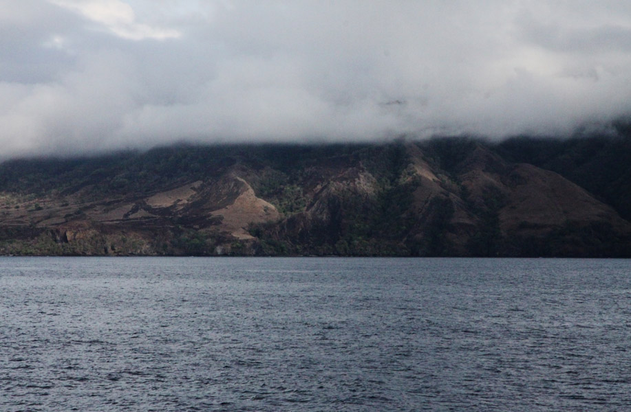
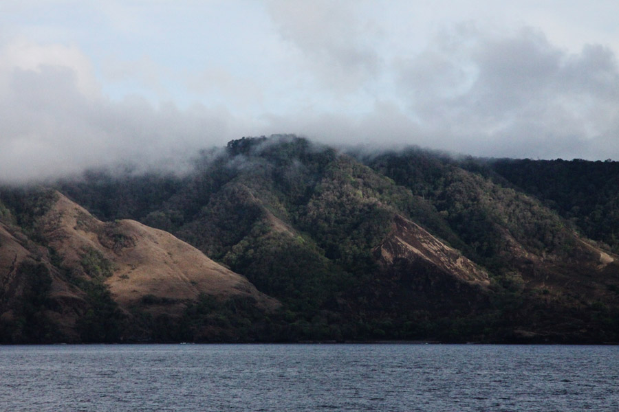
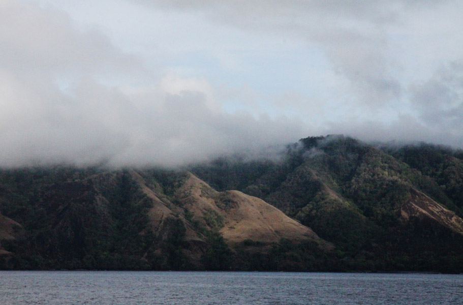
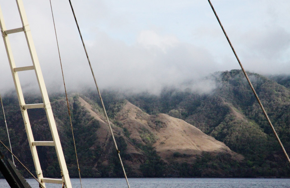
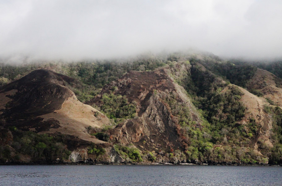
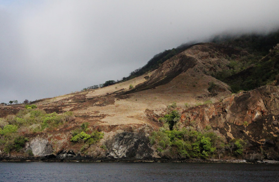
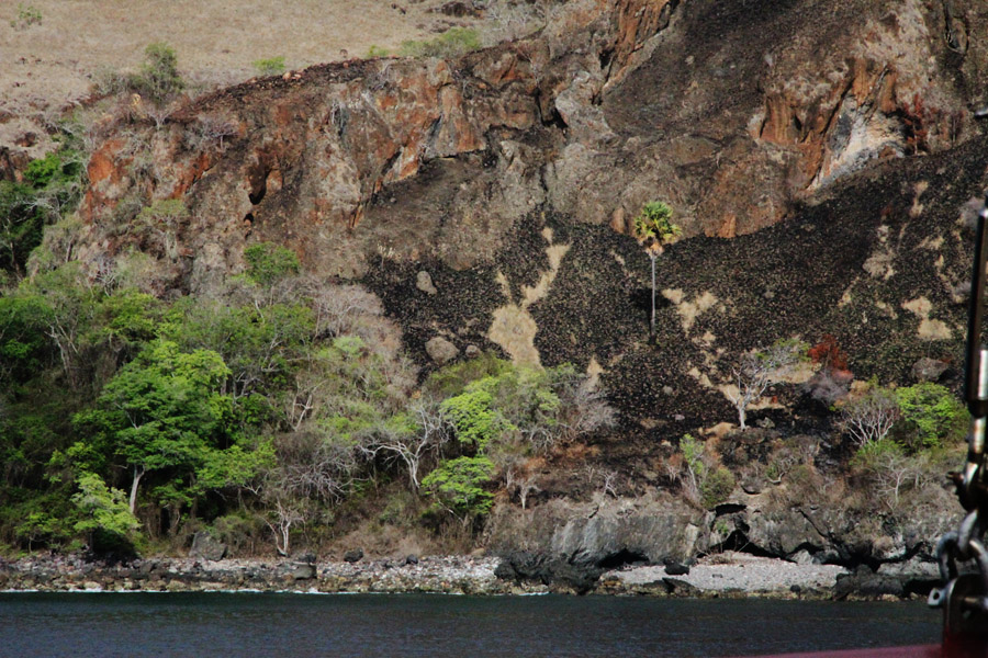
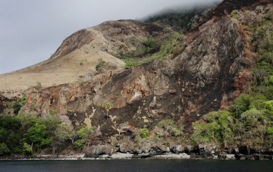
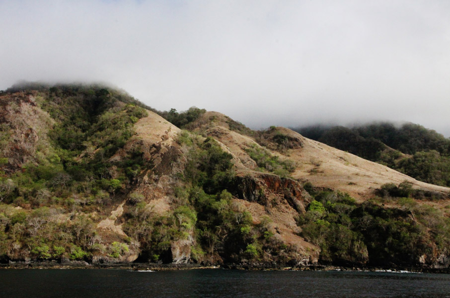
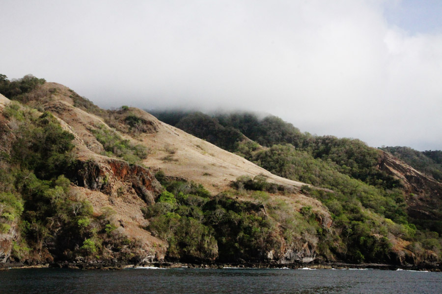
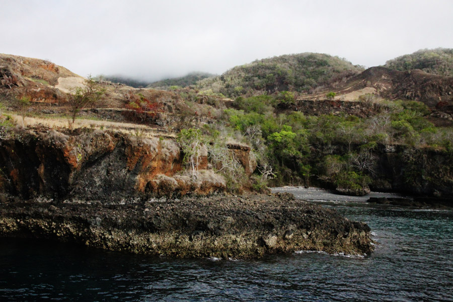
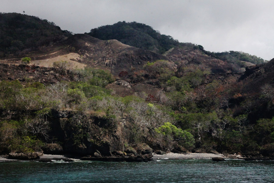
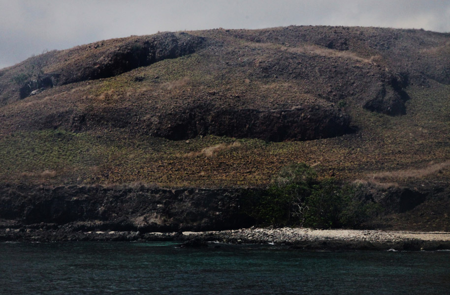
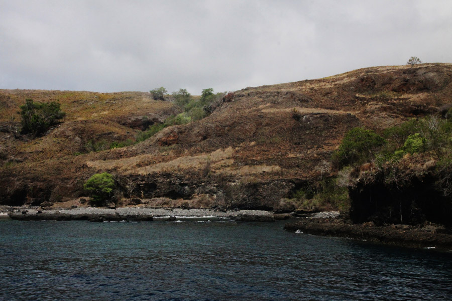
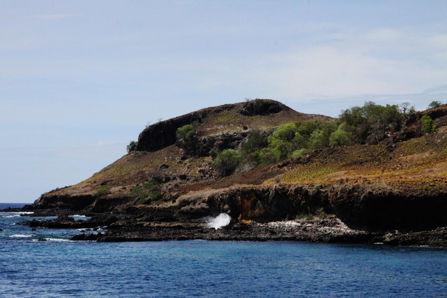
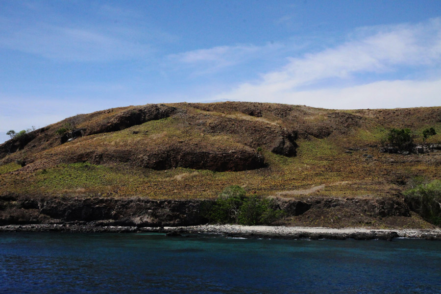
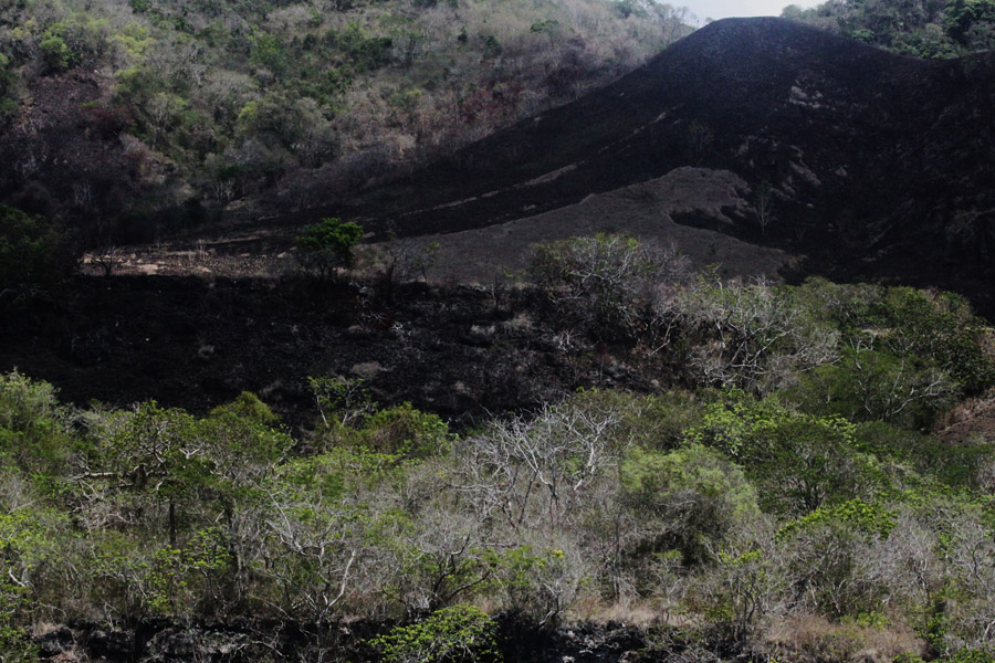
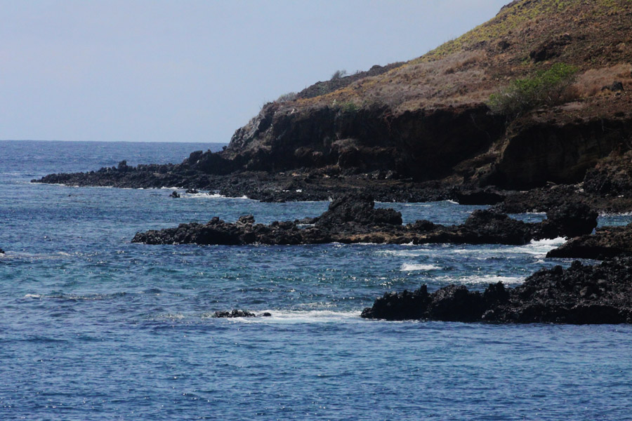
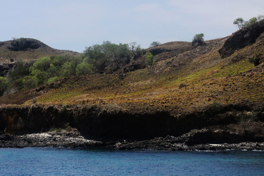
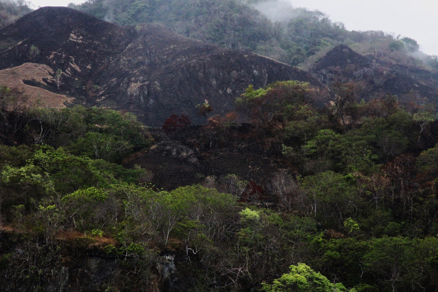
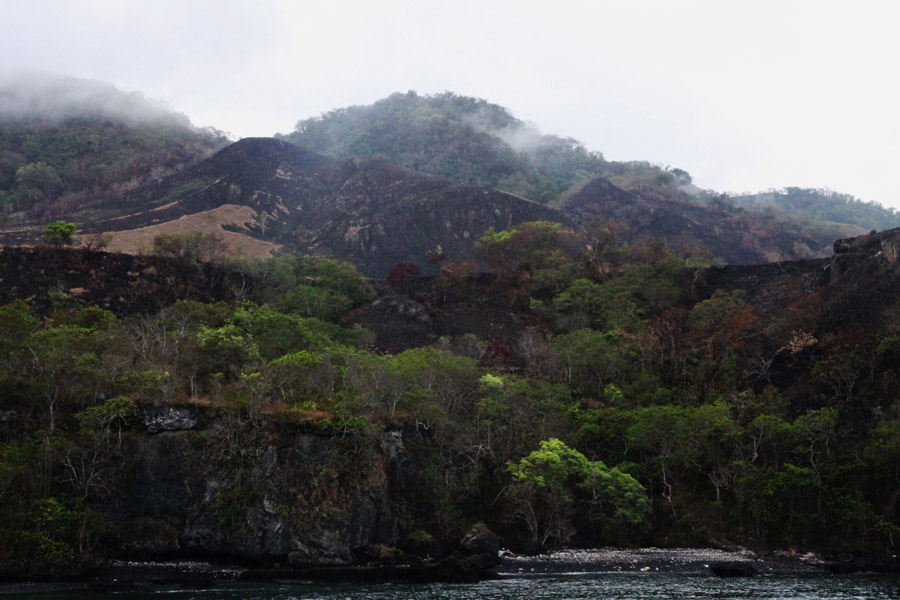
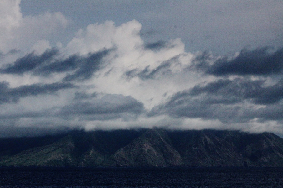
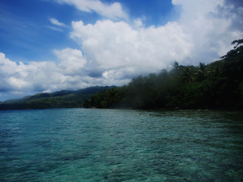
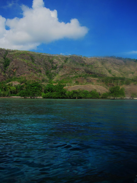
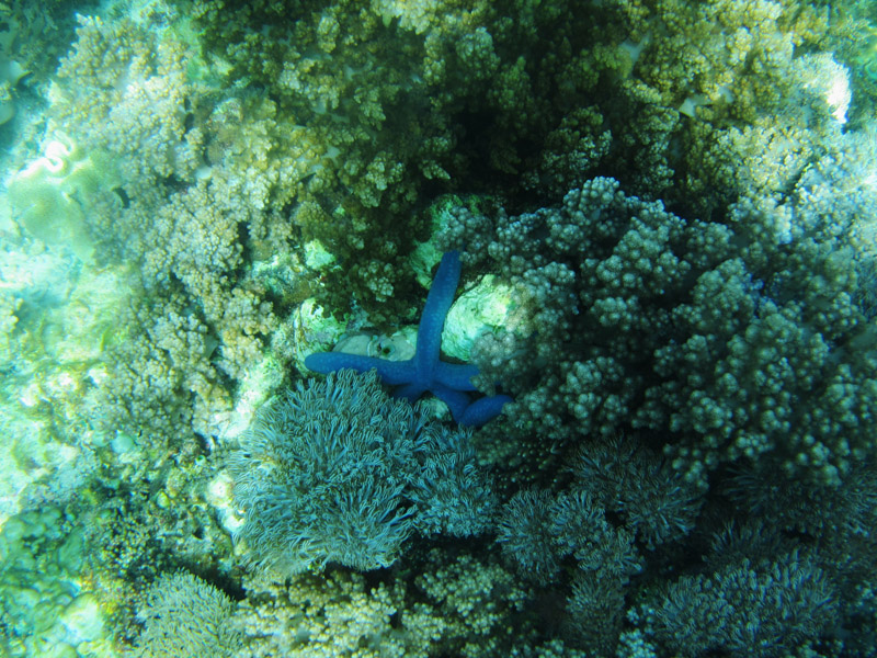
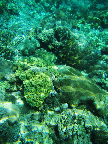
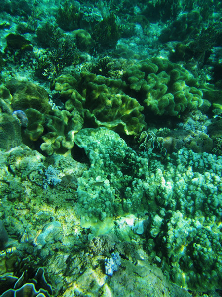
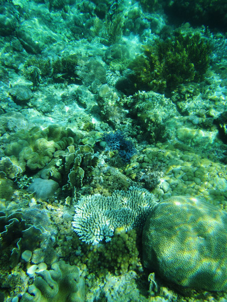
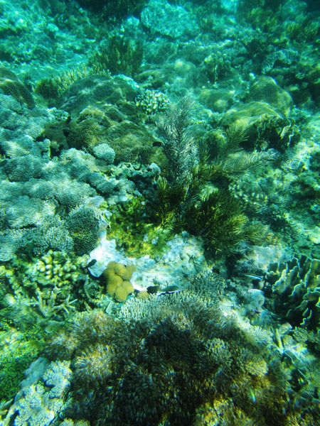
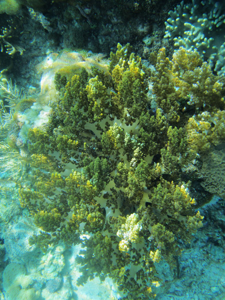
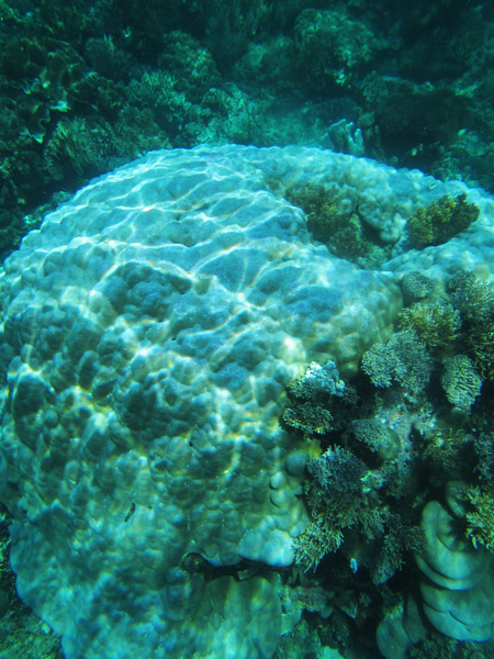
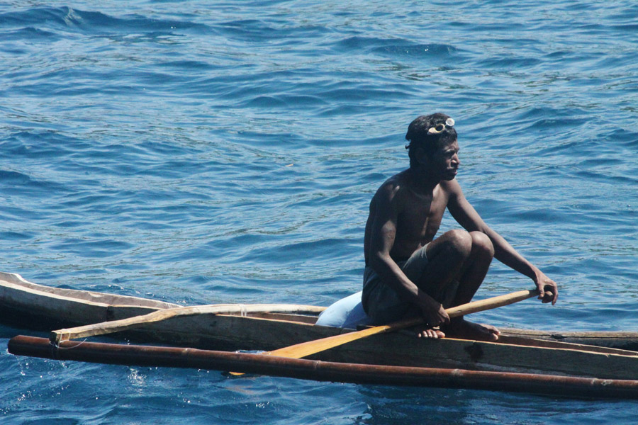
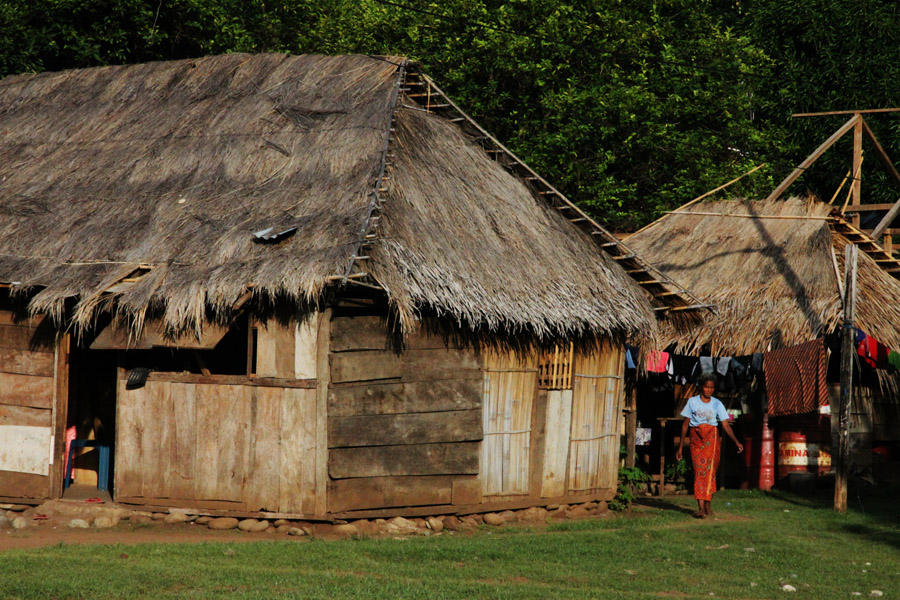
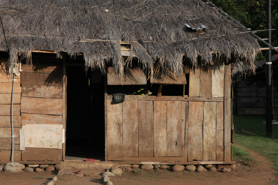
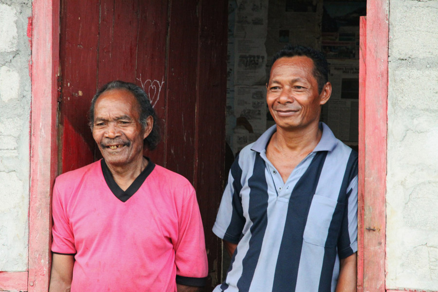
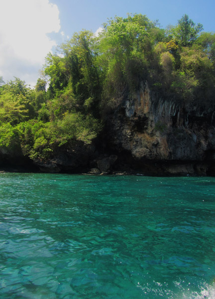
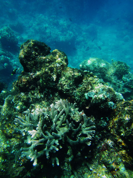
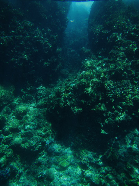
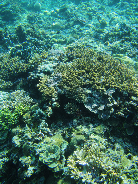
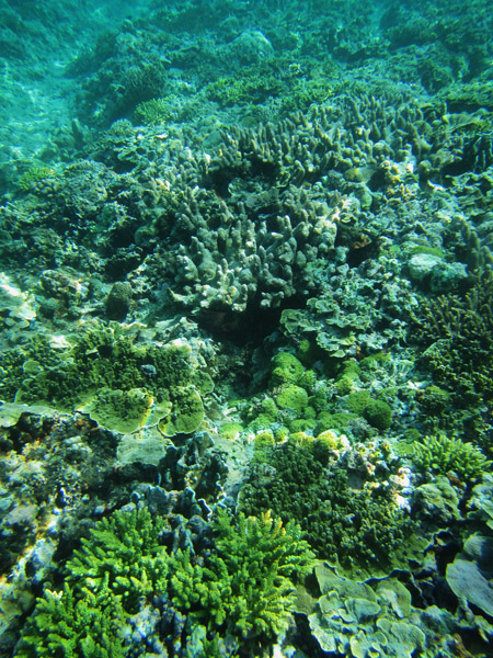
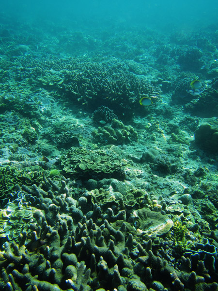
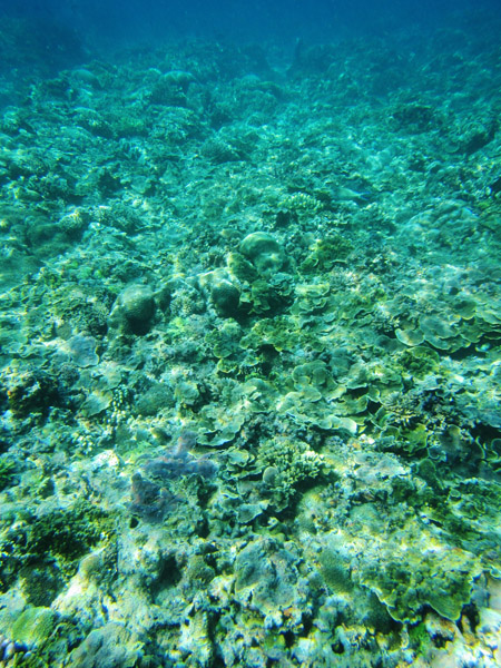
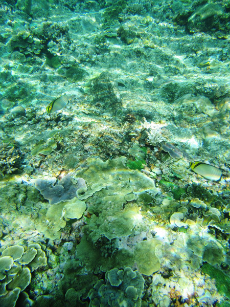
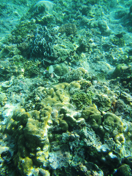
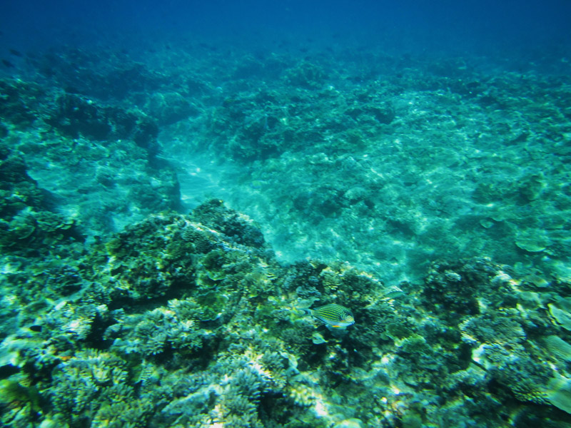
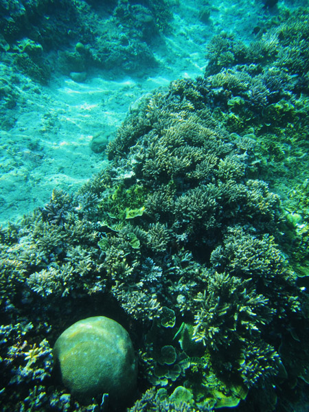
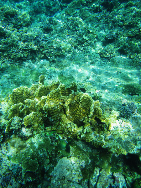
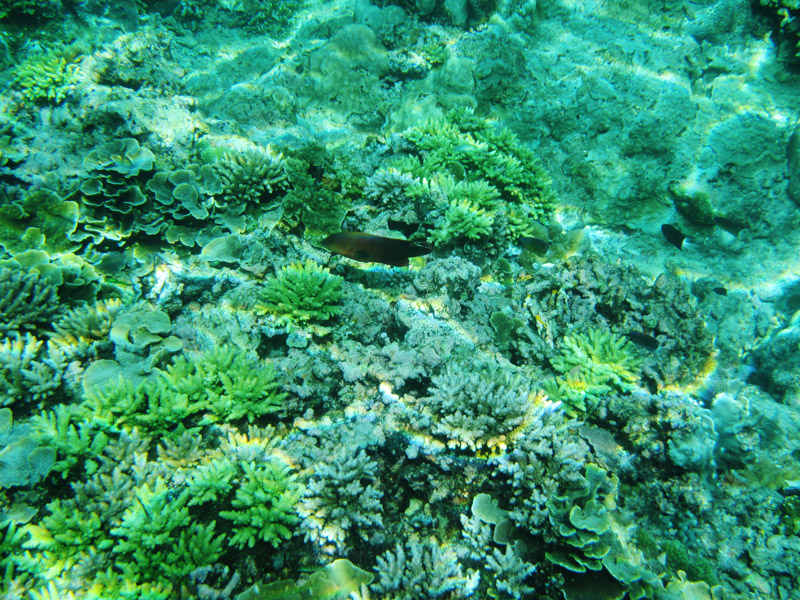
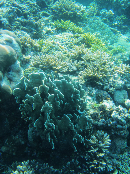
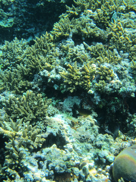
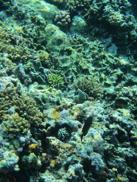
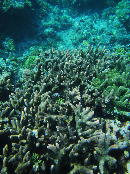
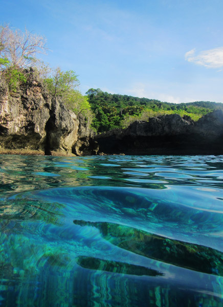
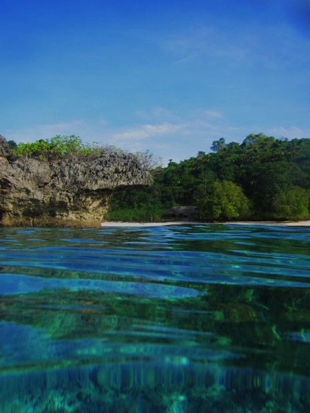
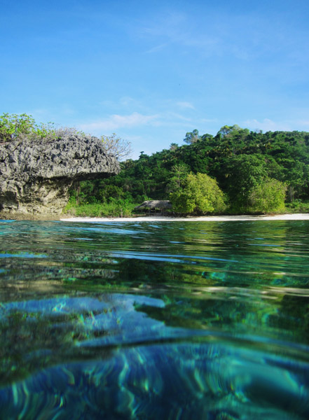
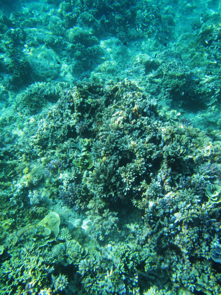
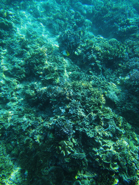
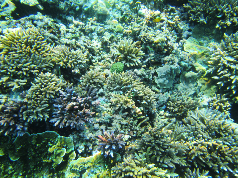
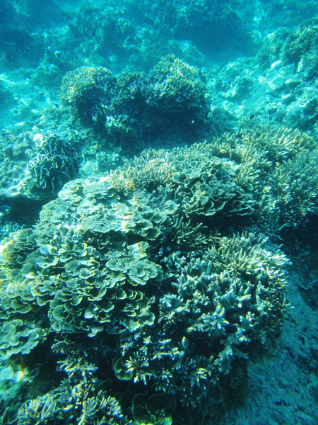
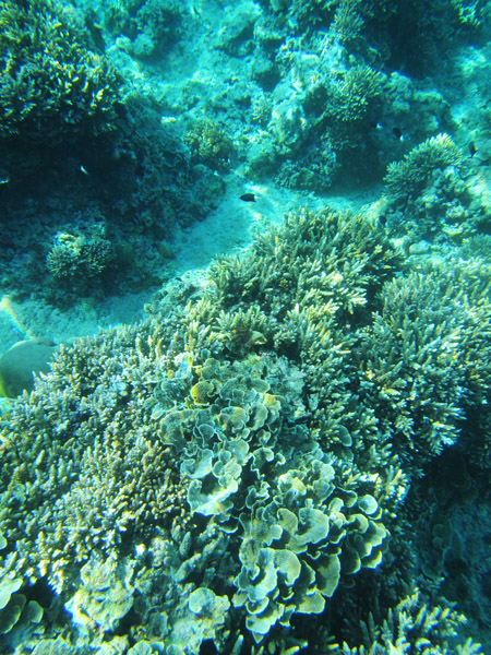
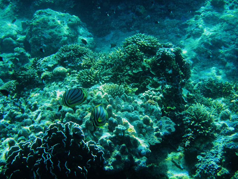
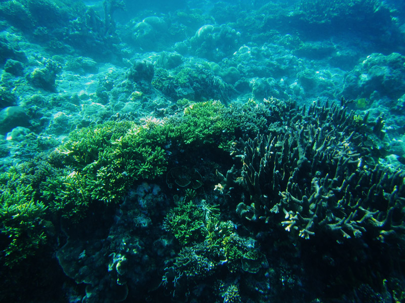
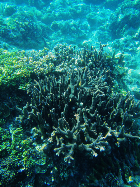
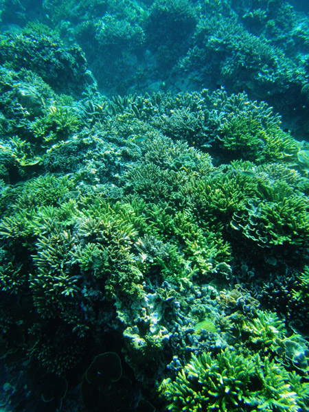
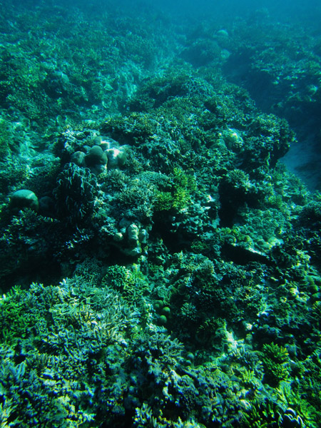
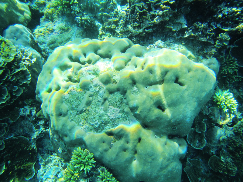
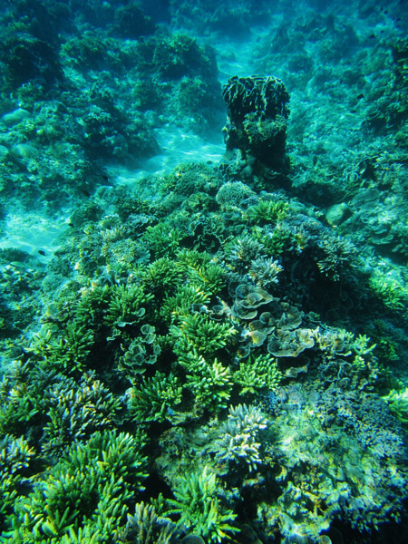
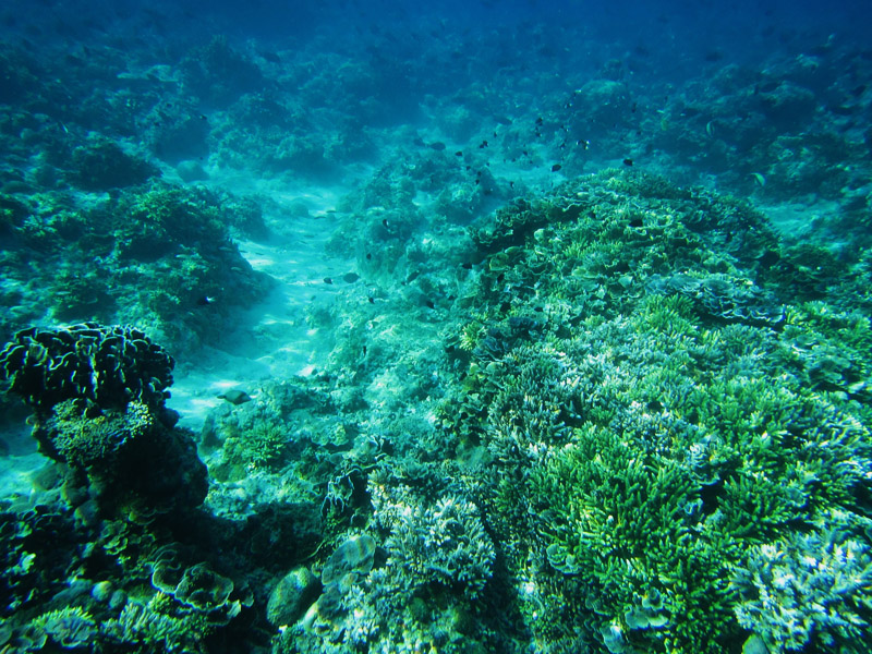
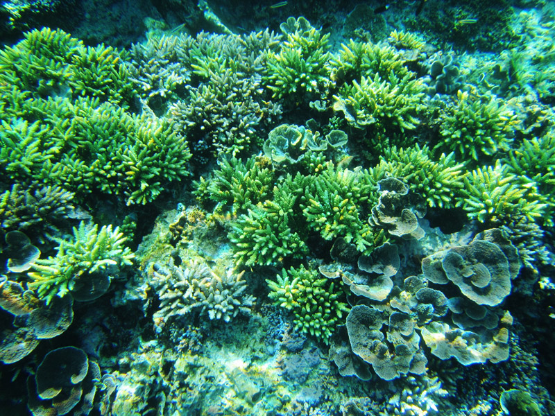
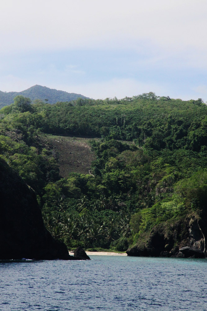
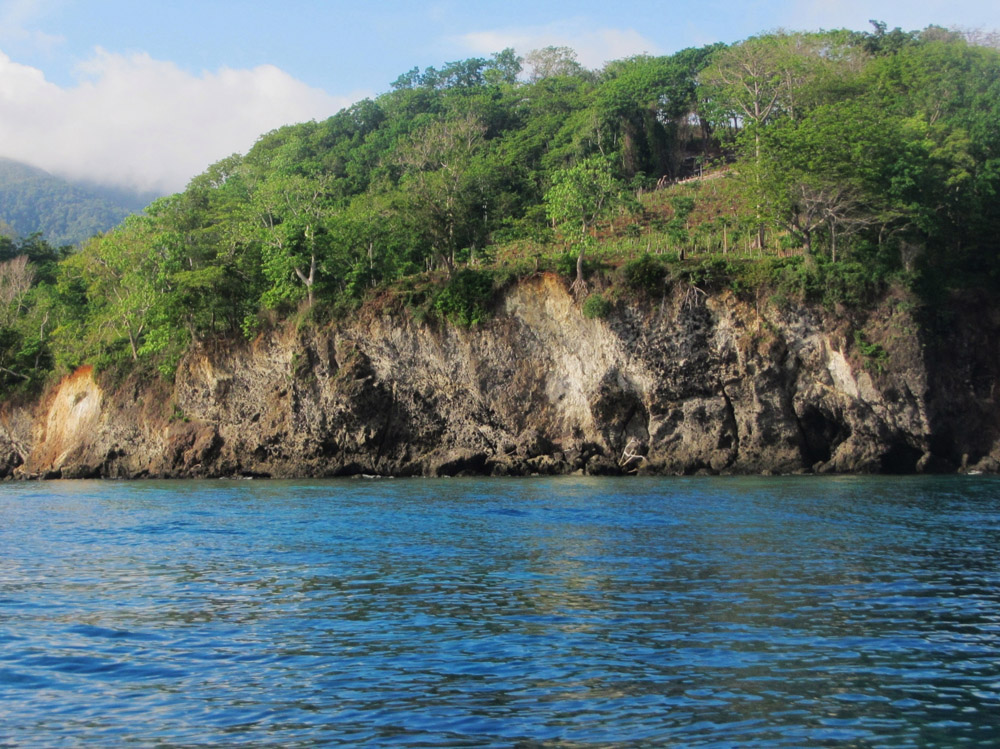
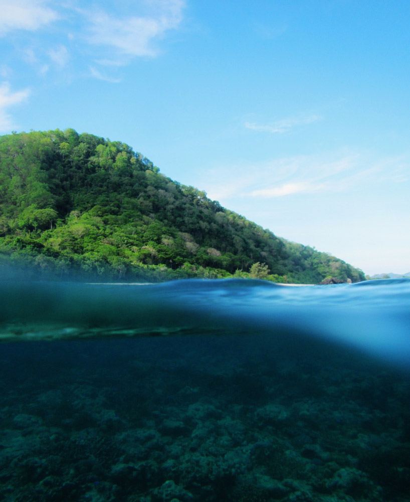
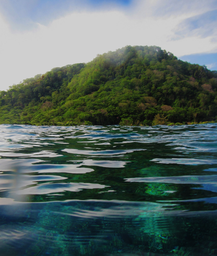
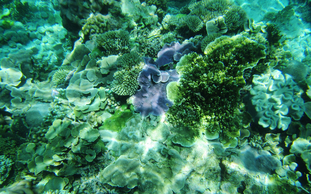
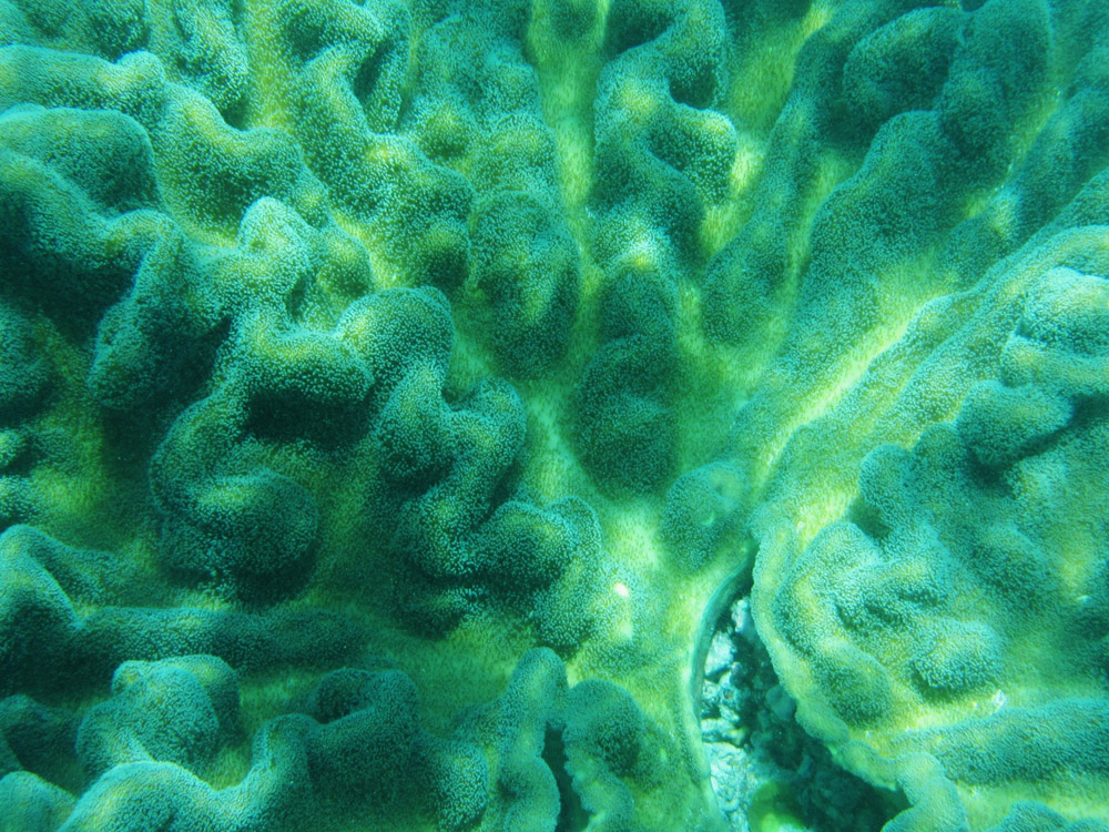
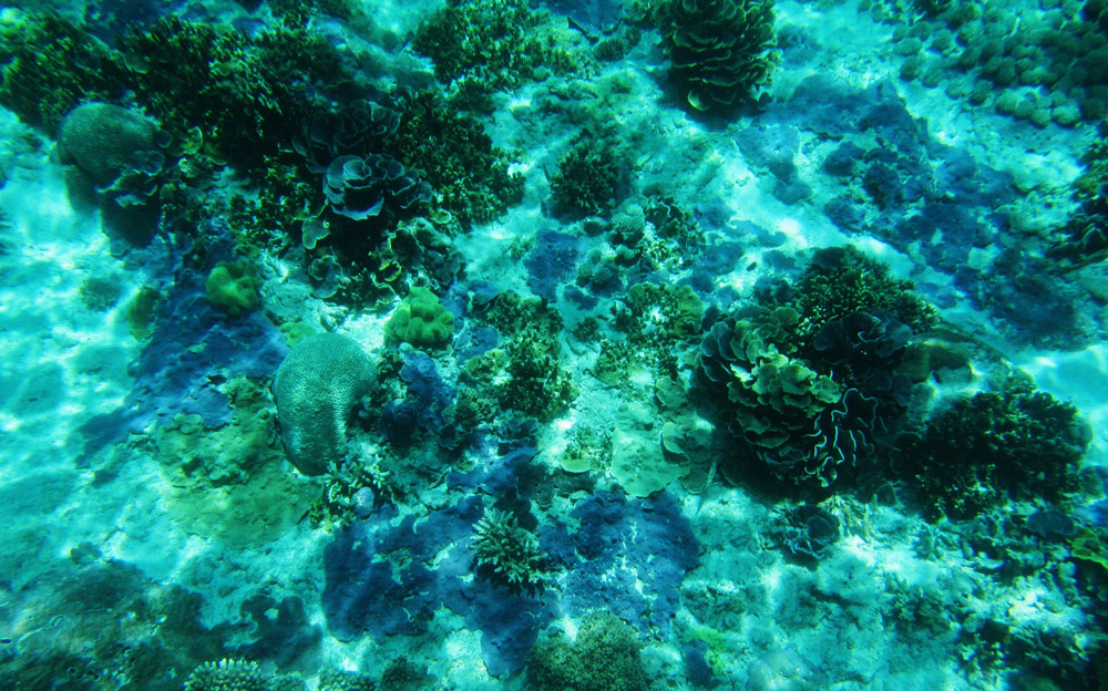
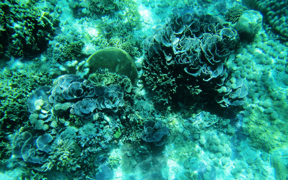
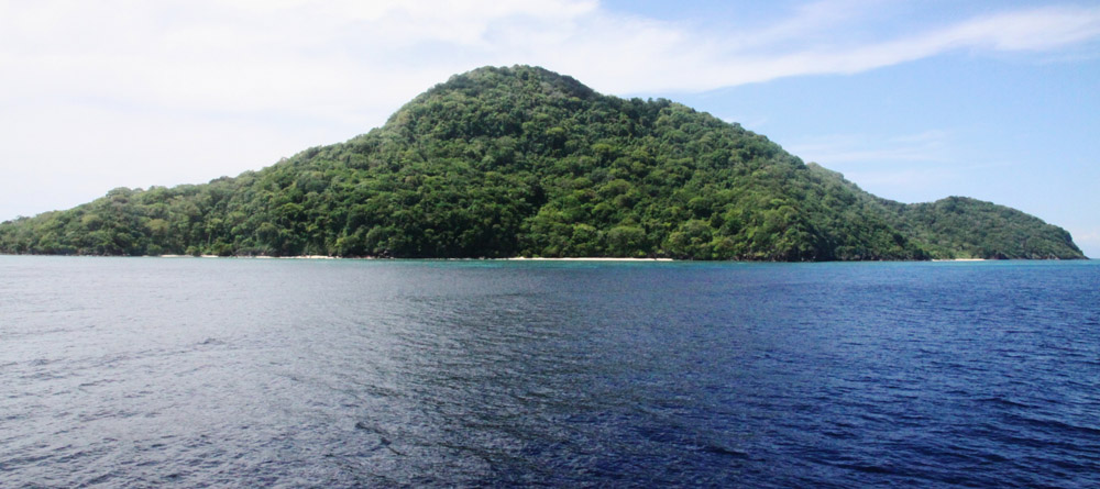
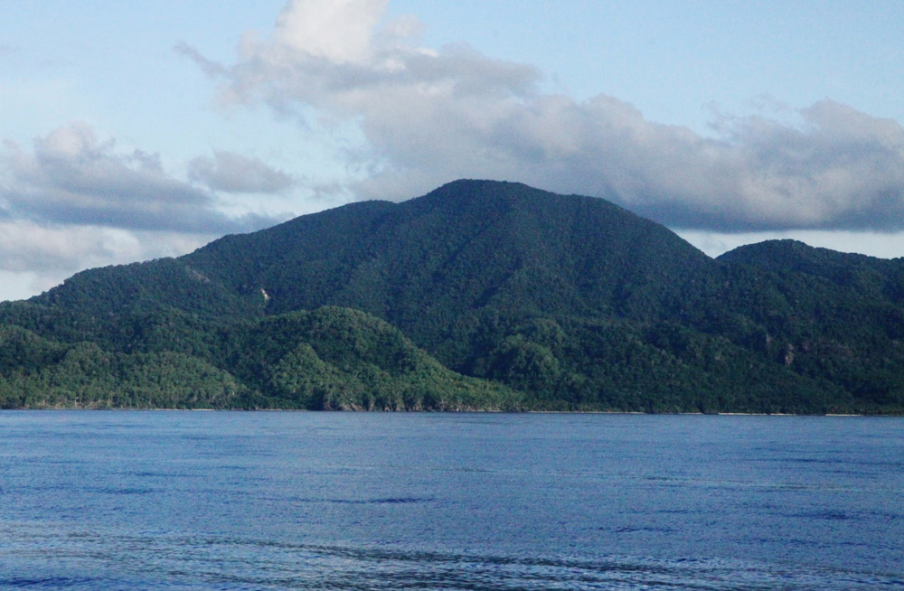
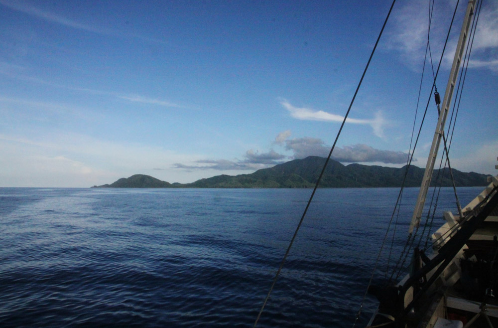
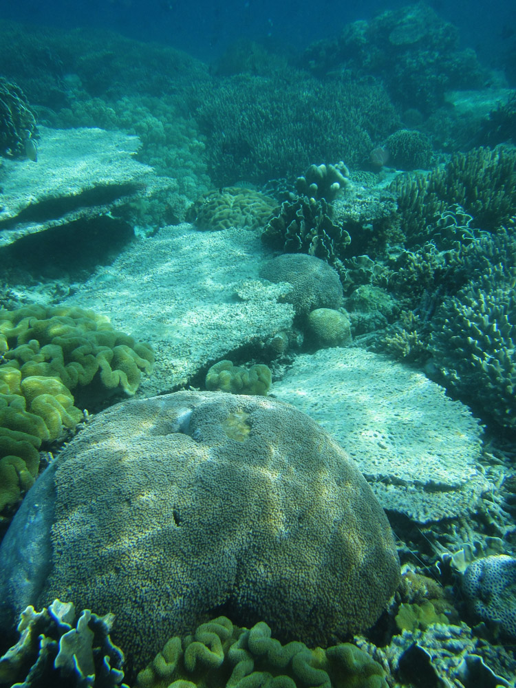
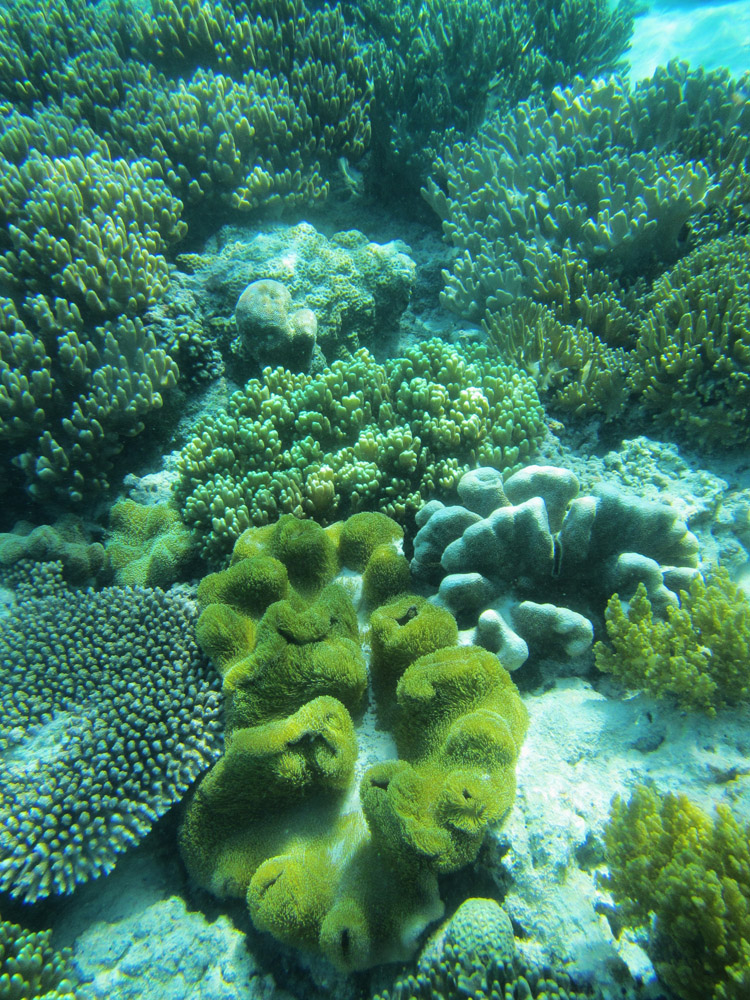
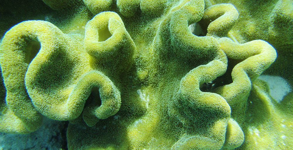
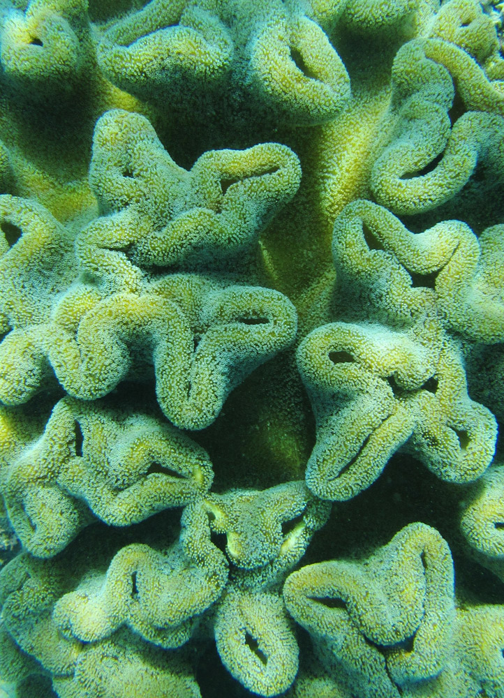
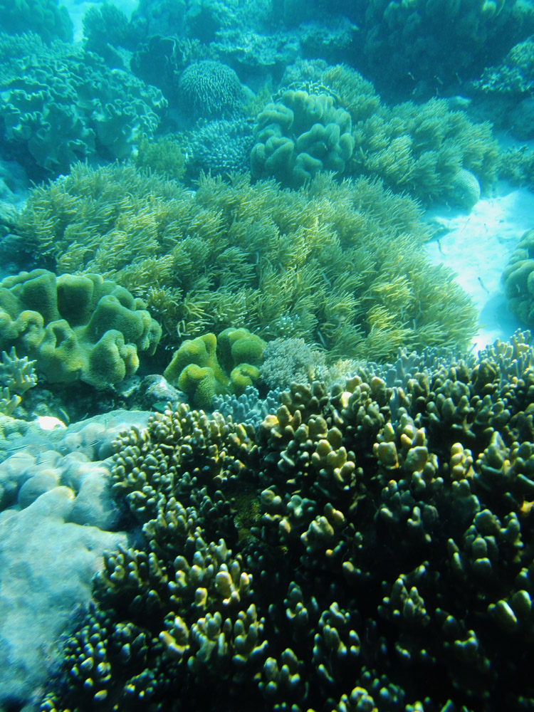
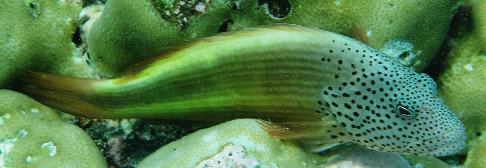
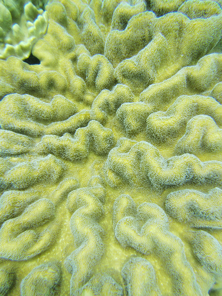
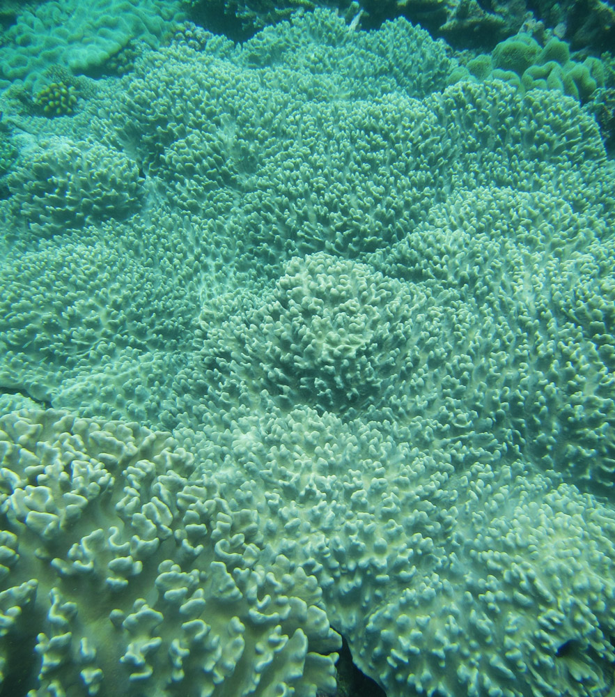
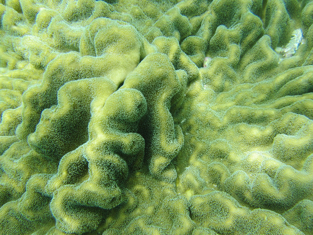
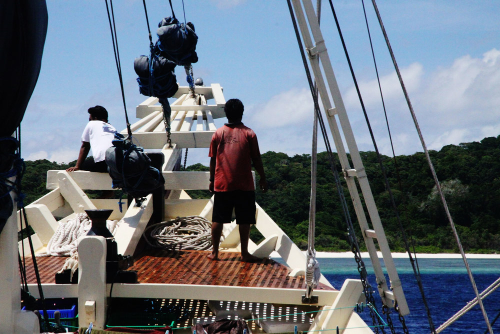
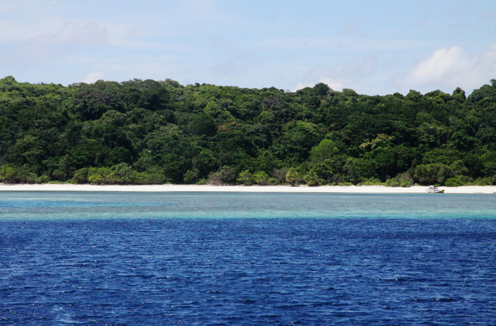
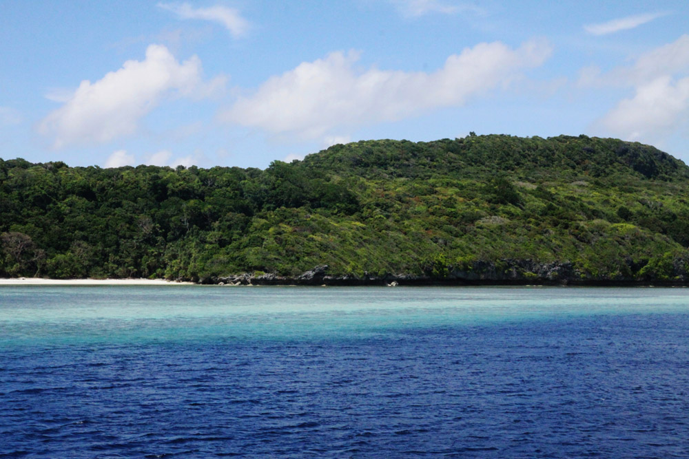
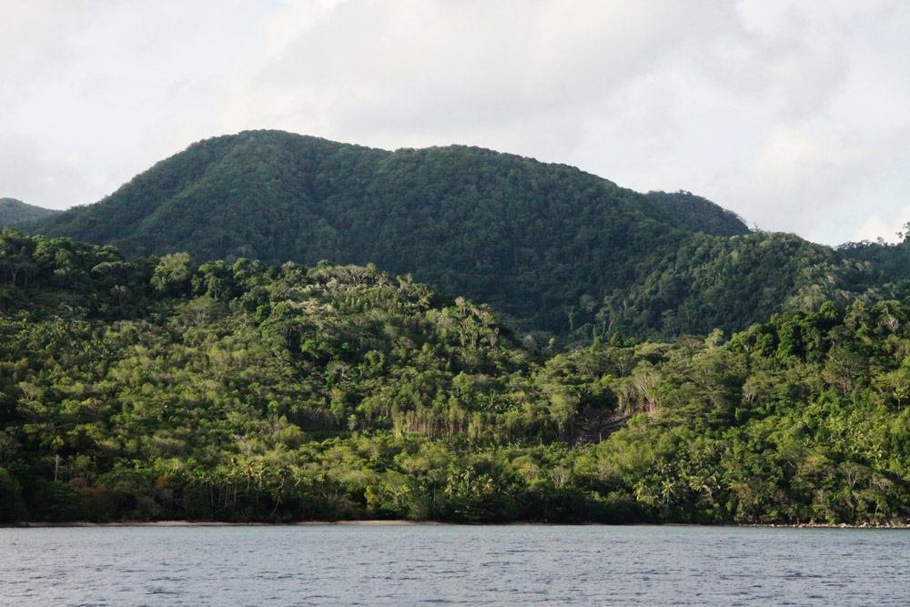
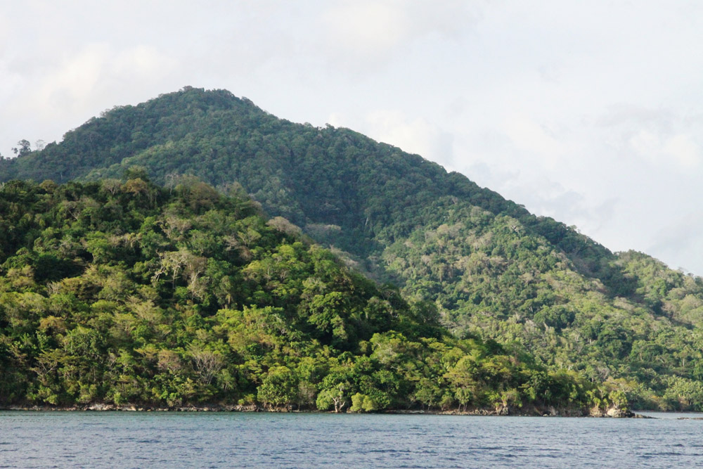
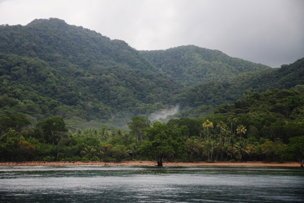
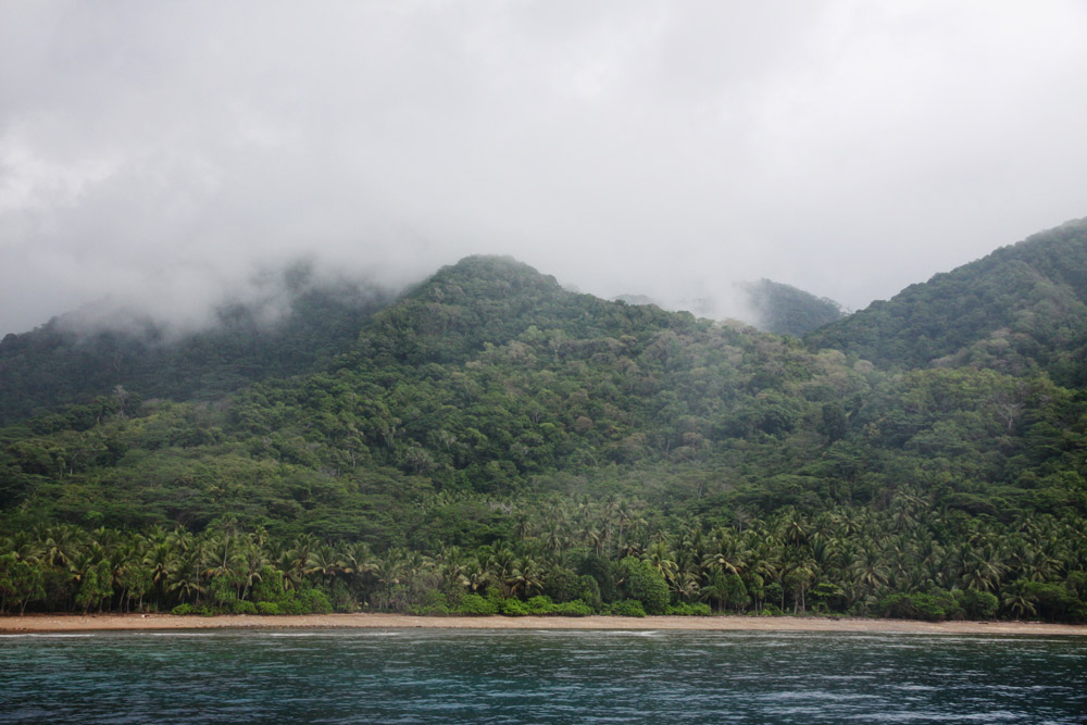
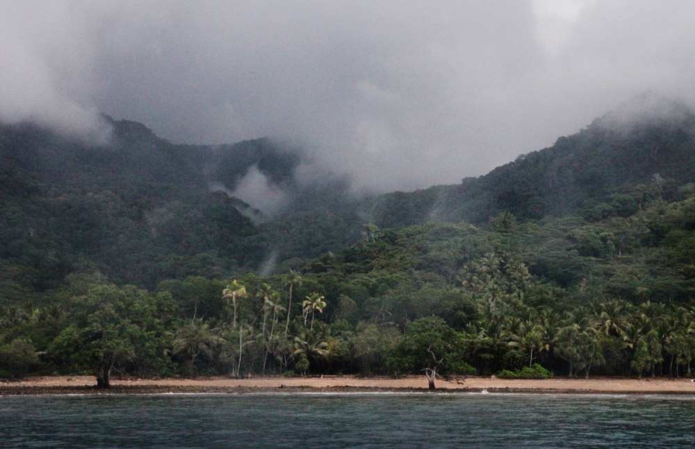
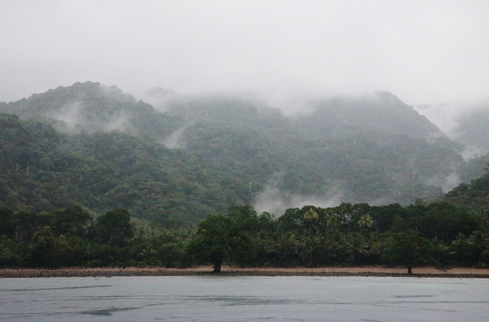
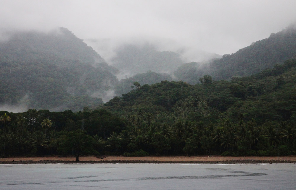
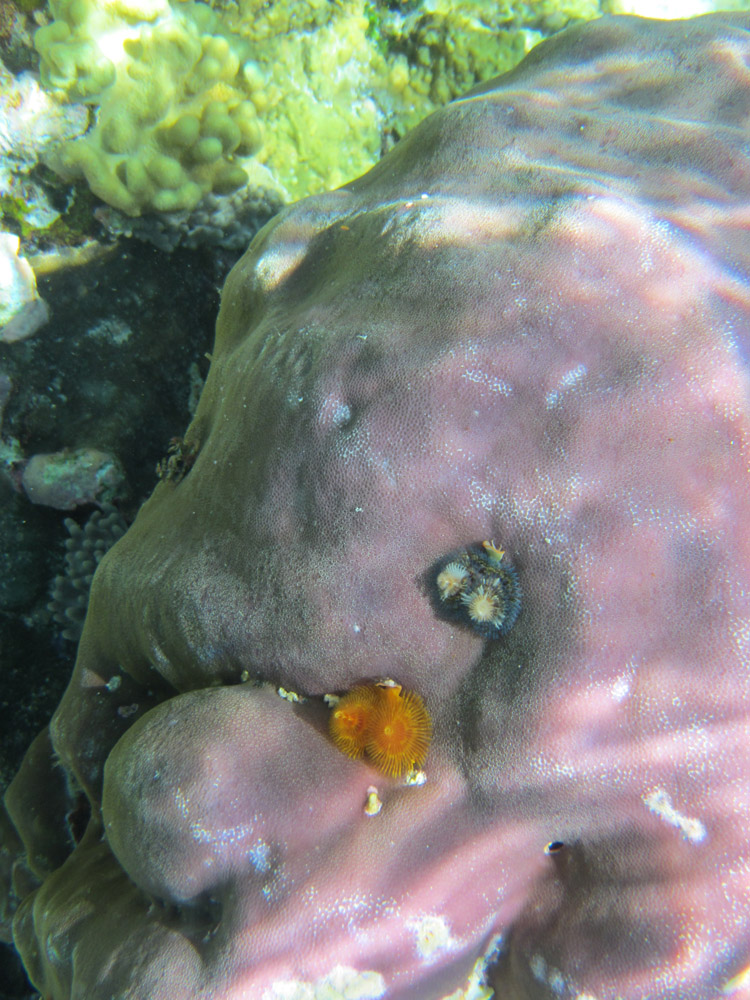
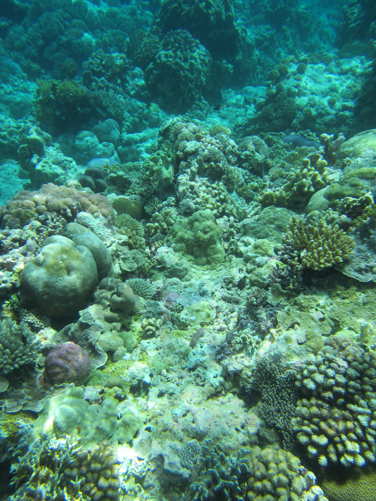
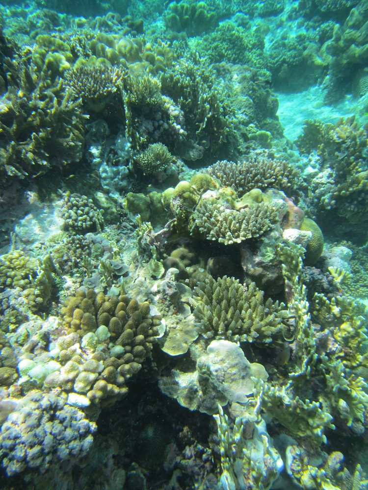
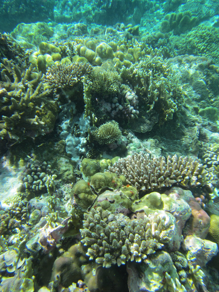
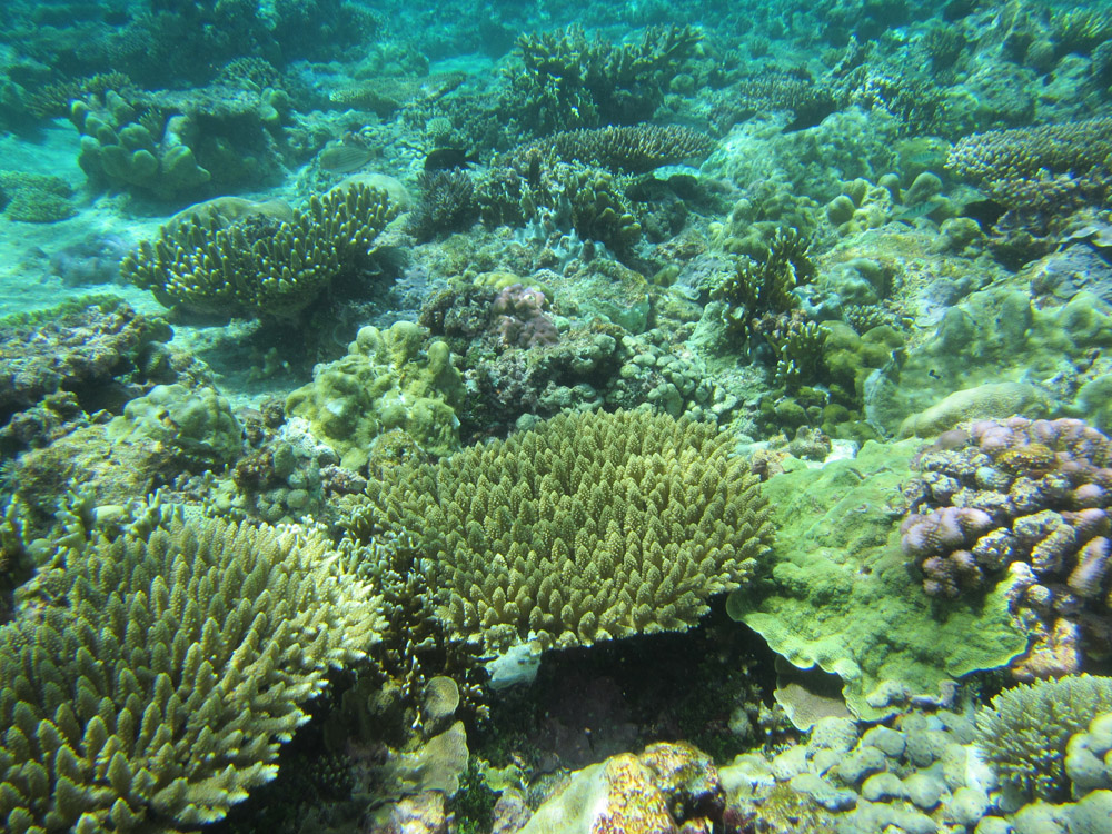
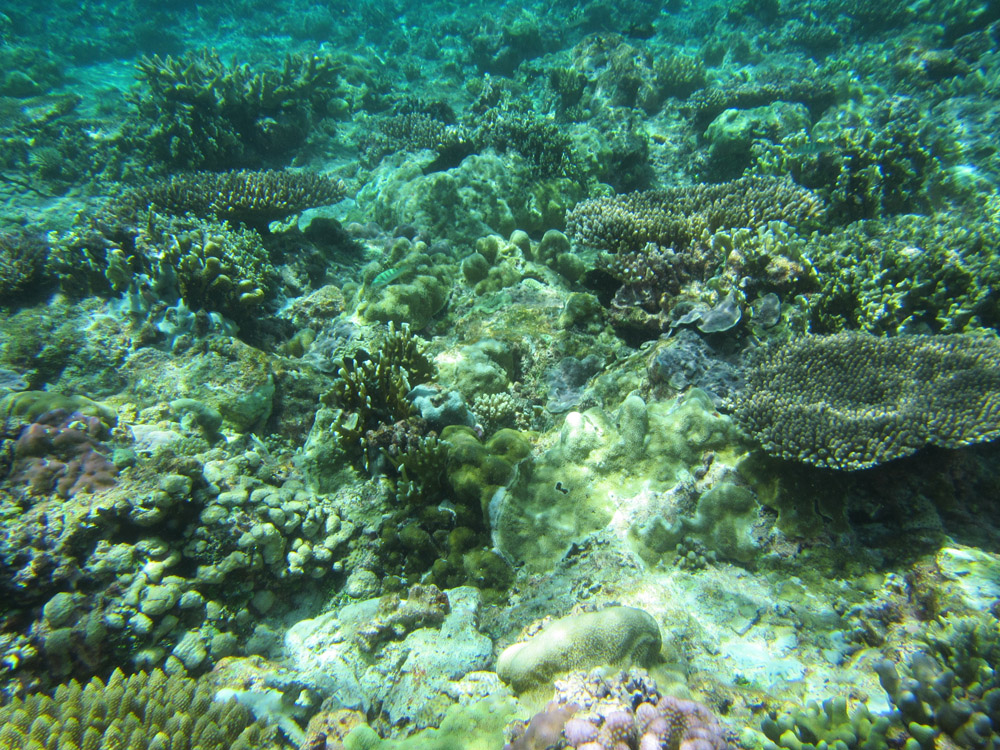
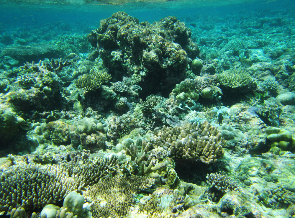
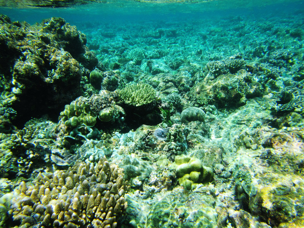
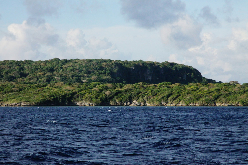
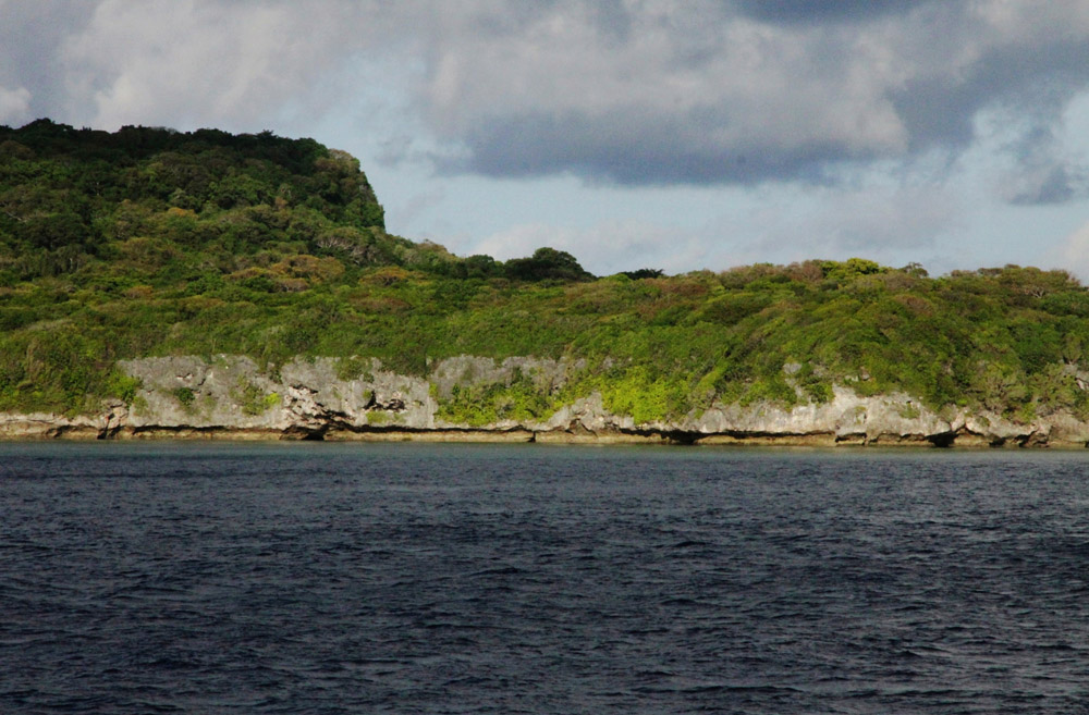
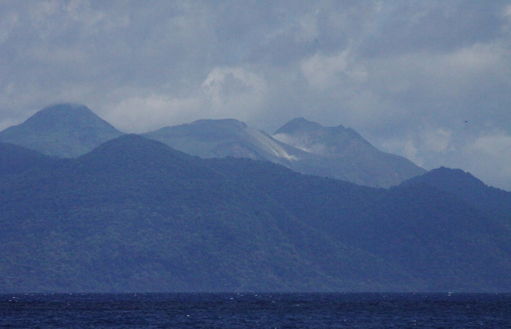
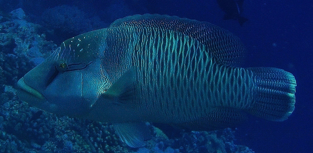
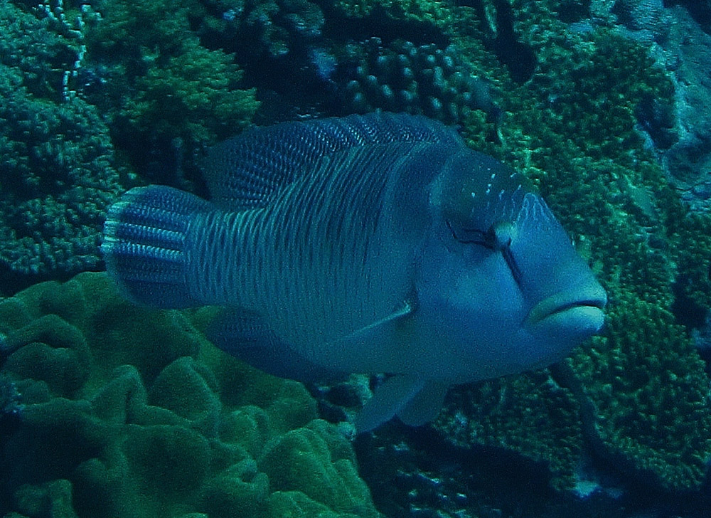
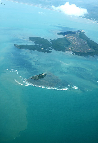
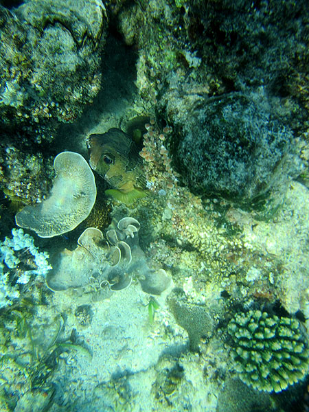
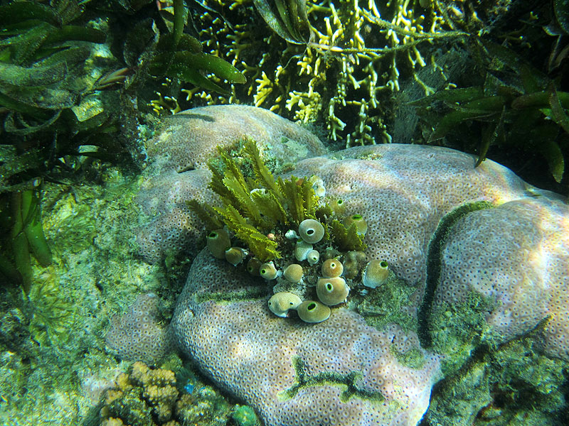
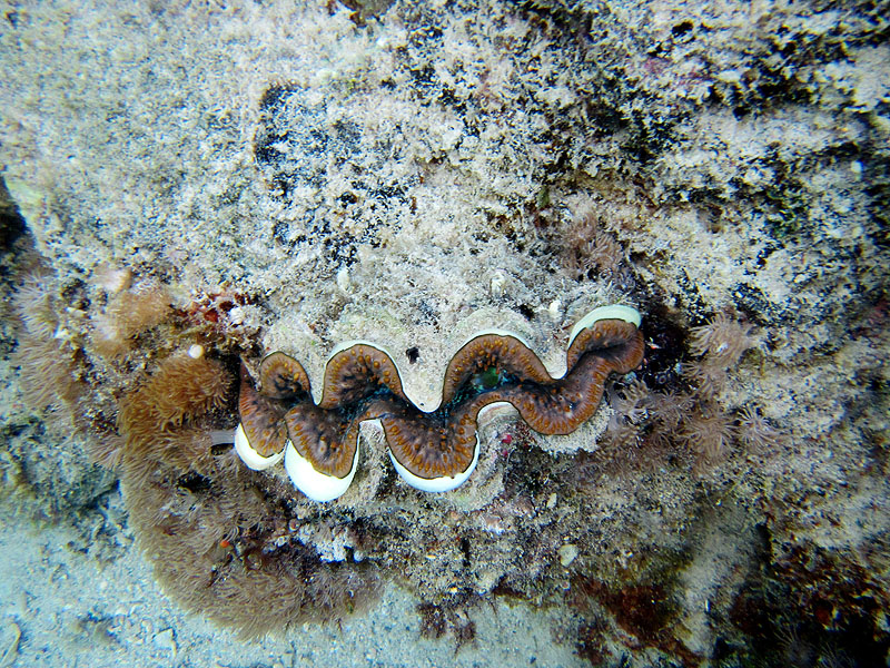
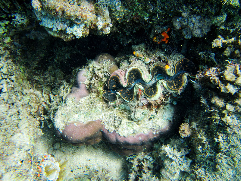
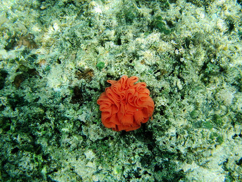
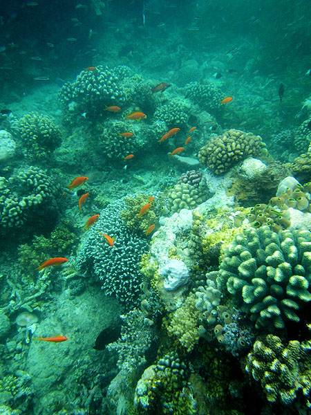
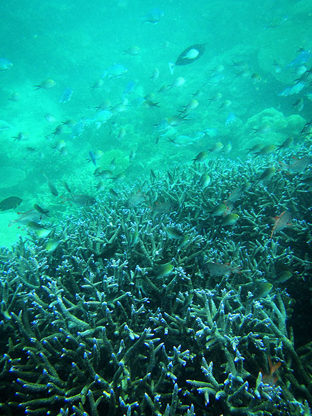
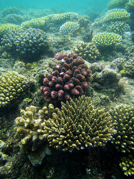
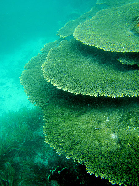
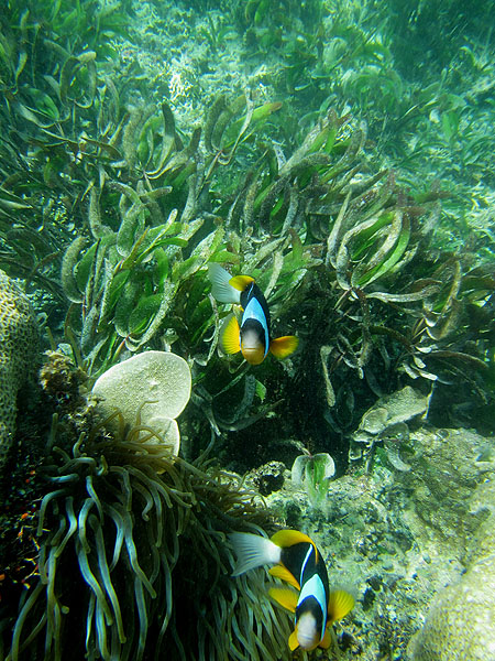
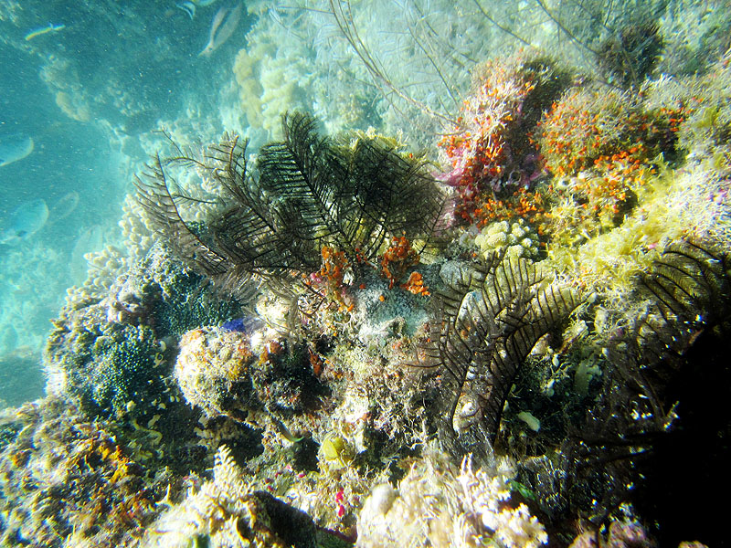
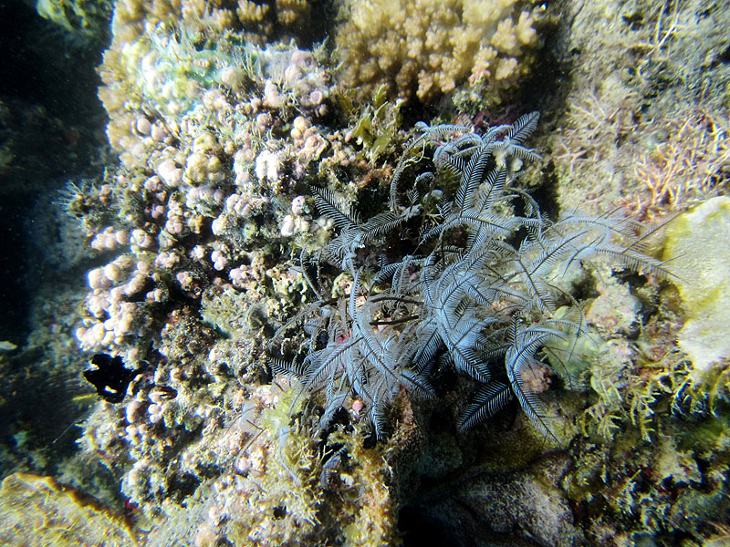
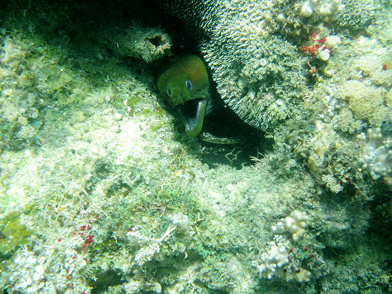
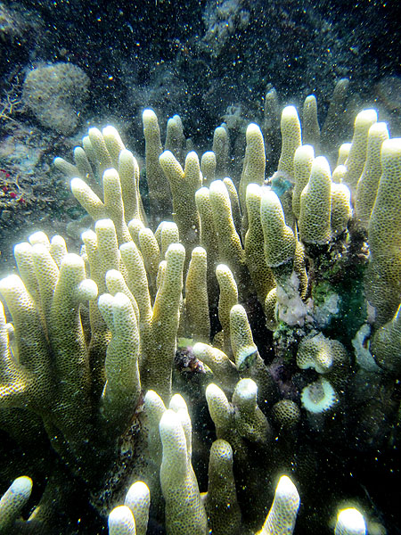
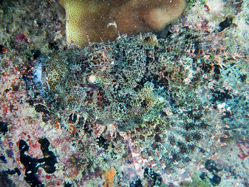
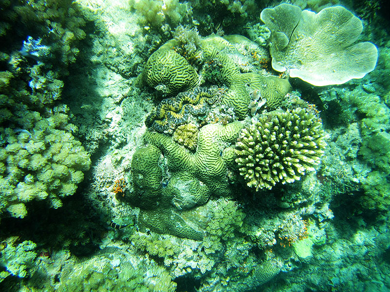
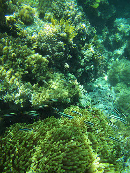
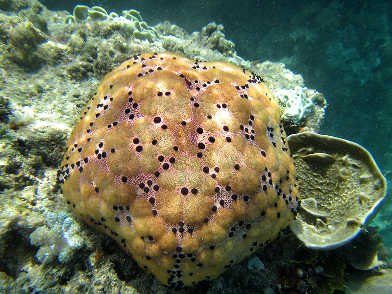
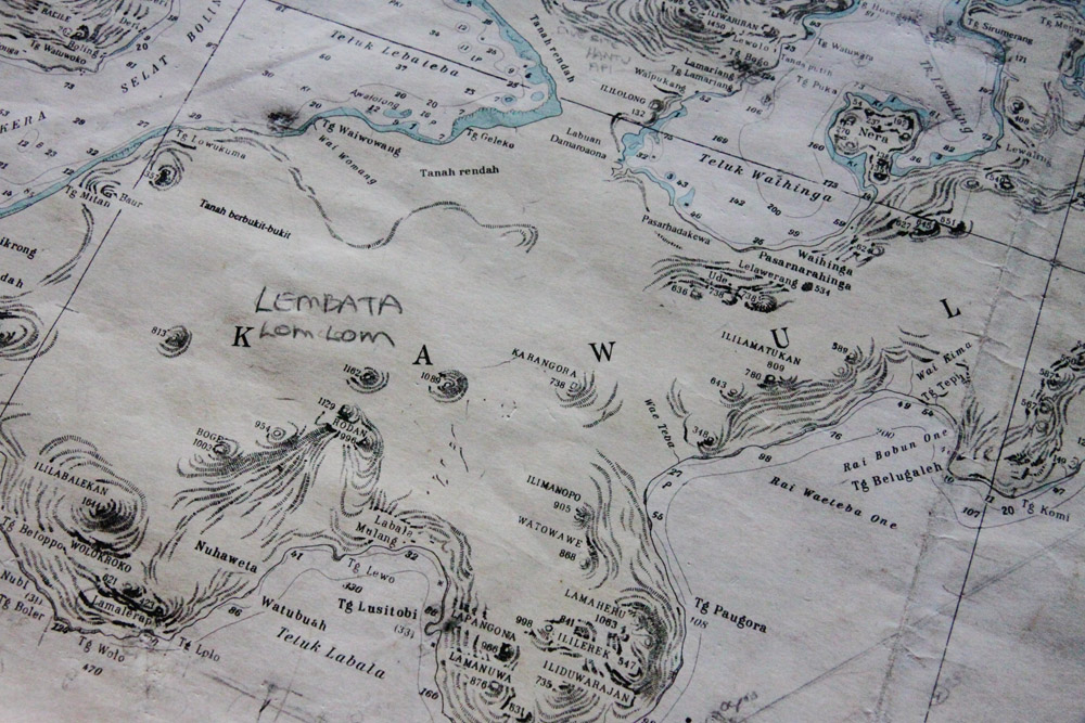
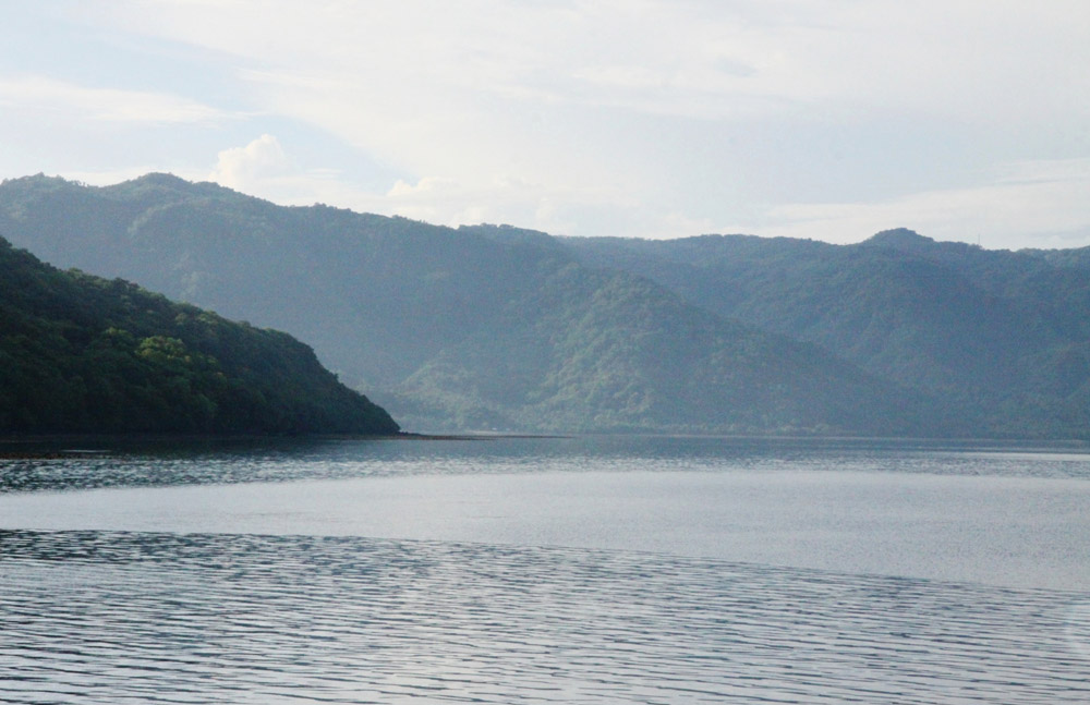
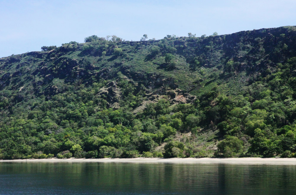
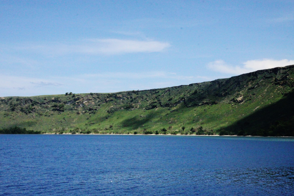
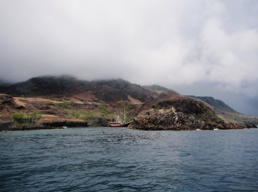
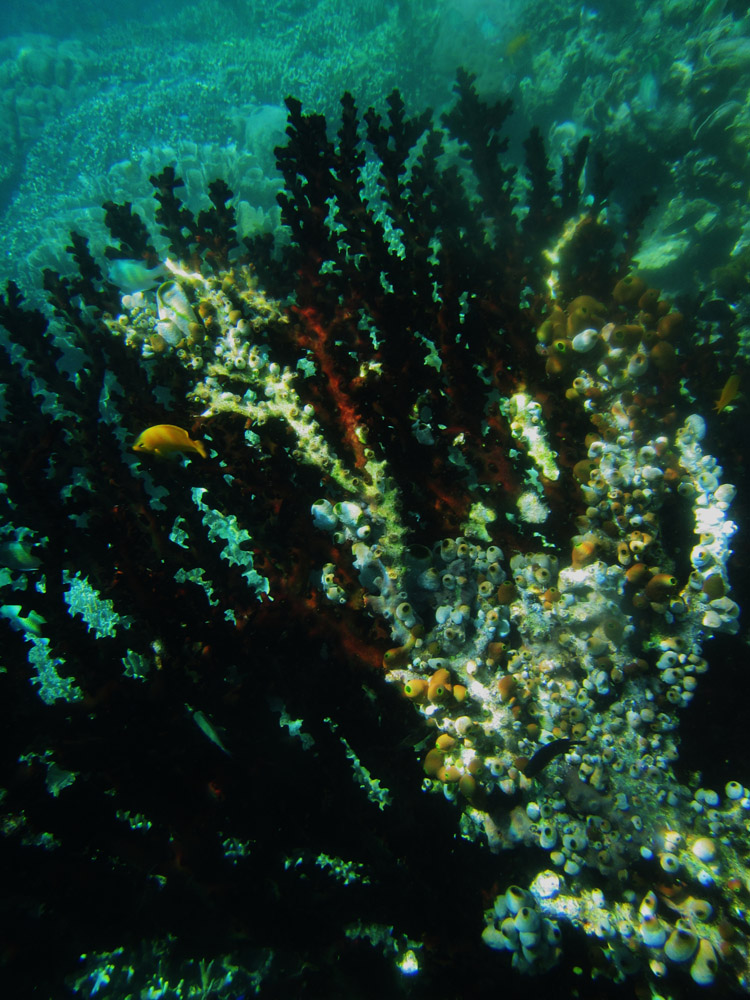
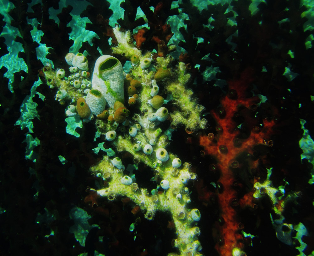
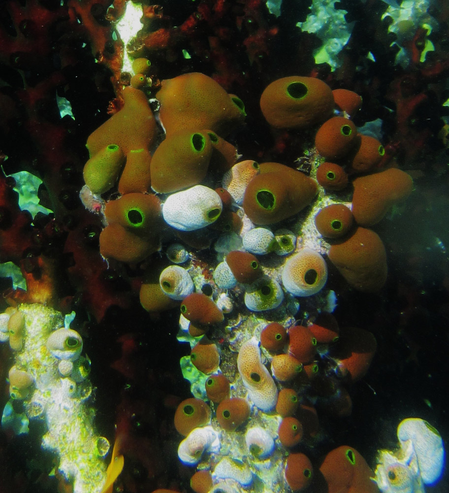
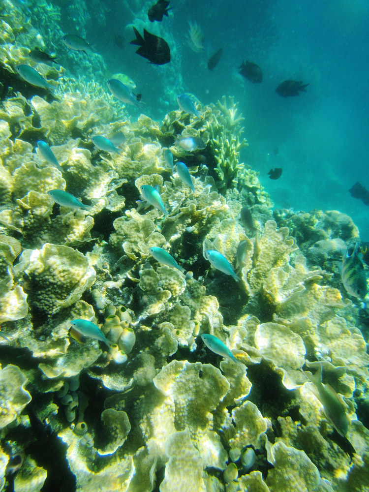
Lembata is an island in the Lesser Sunda Islands, formerly known as Lomblen island; it is the largest island of the Solor Archipelago, in the Lesser Sunda Islands, Indonesia. It forms a separate regency of the province of Nusa Tenggara Timur. The length of the island is about 80 km from the Southwest to the Northeast and the width is about 30 km from the West to the East. It rises to a height of 1,533 metres.

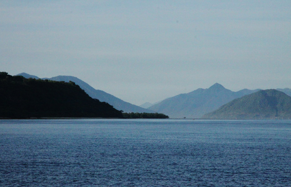
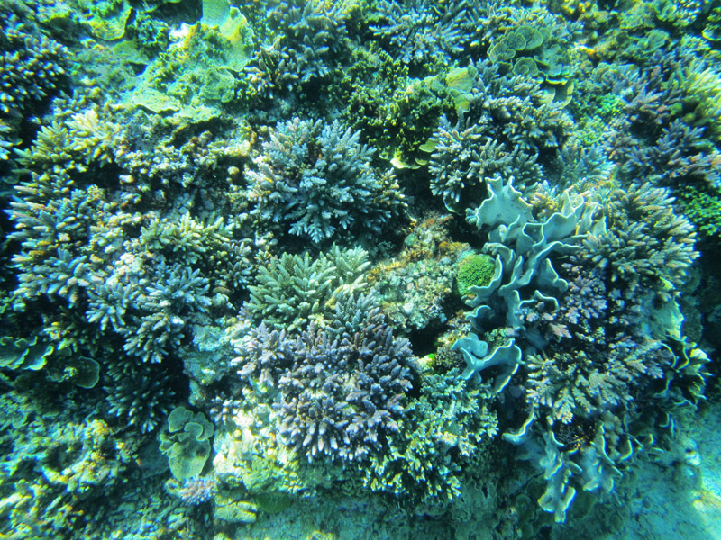
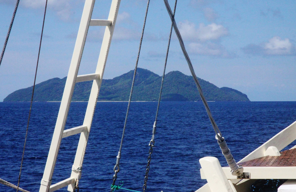
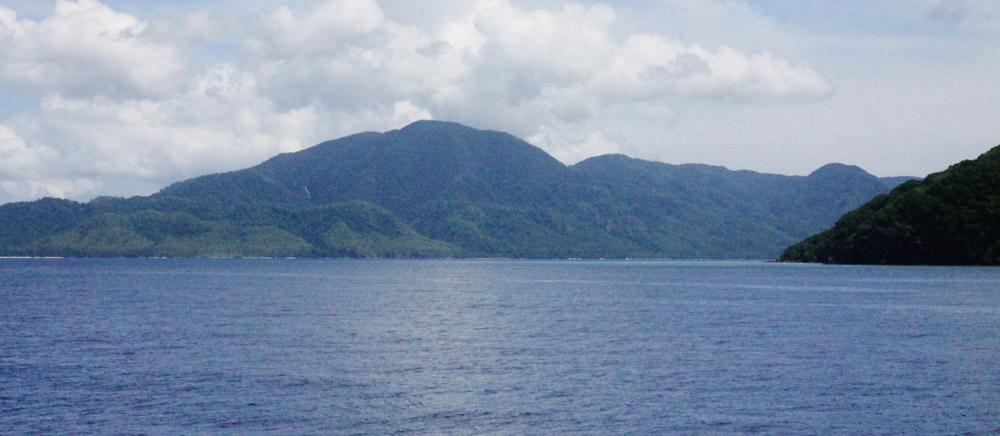
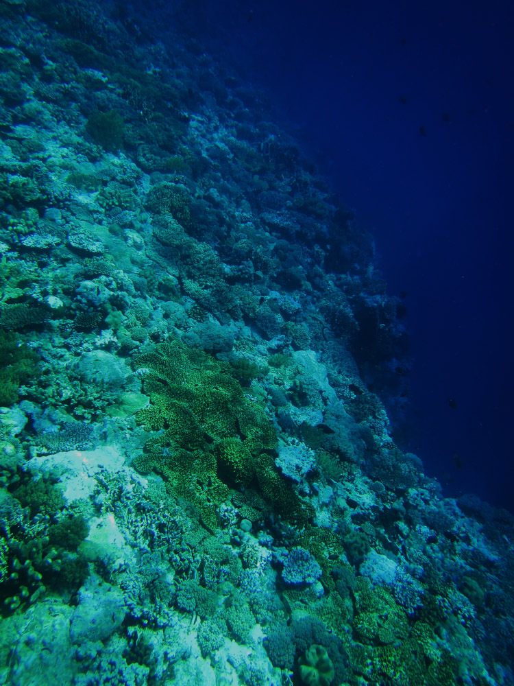
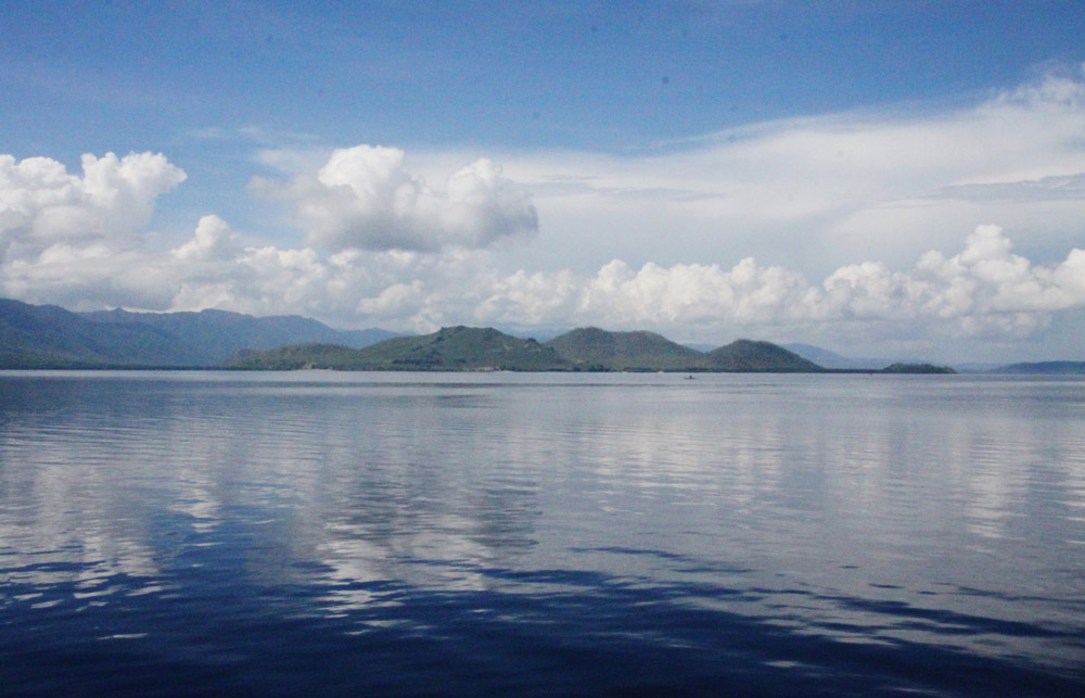
To the west lie the other islands in the archipelago, most notably Solor and Adonara, and then the larger island of Flores. To the east is the Alor Strait, which separates this archipelago from the Alor Archipelago. To the south across the Savu Sea lies the island of Timor, while to the north the western branch of the Banda Sea separates it from Buton and the other islands of Southeast Sulawesi.

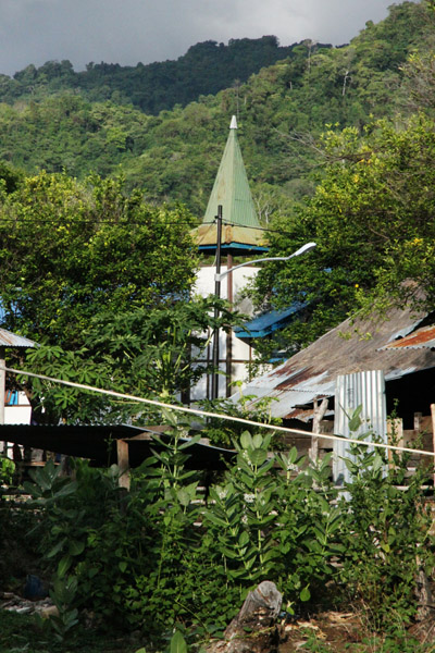
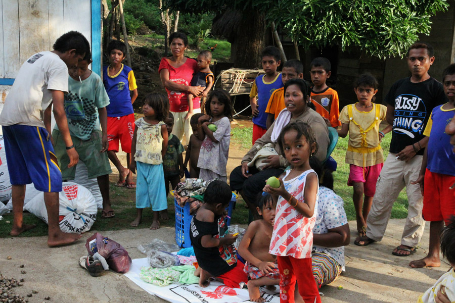
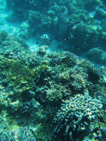
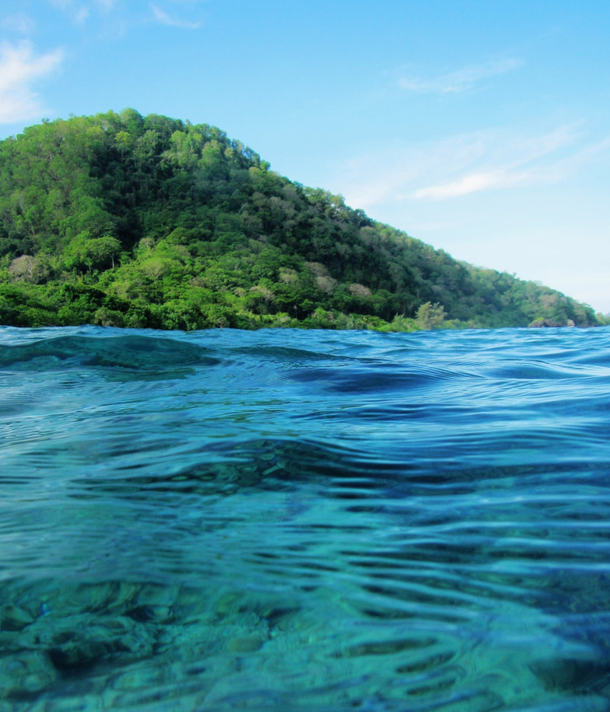
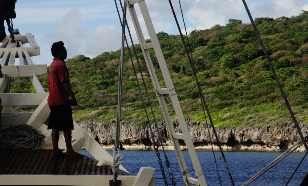
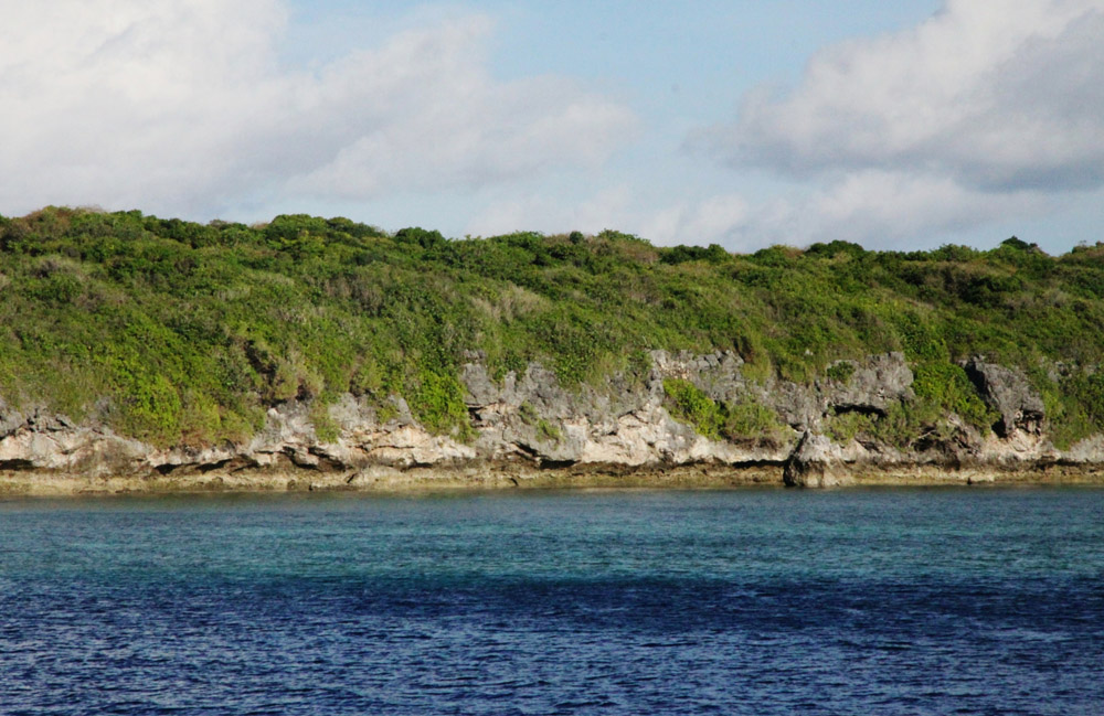
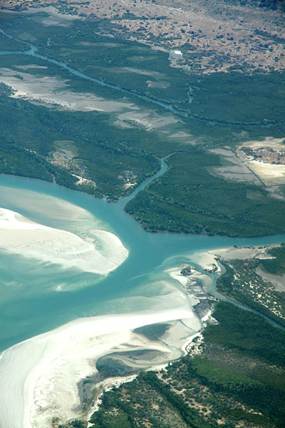
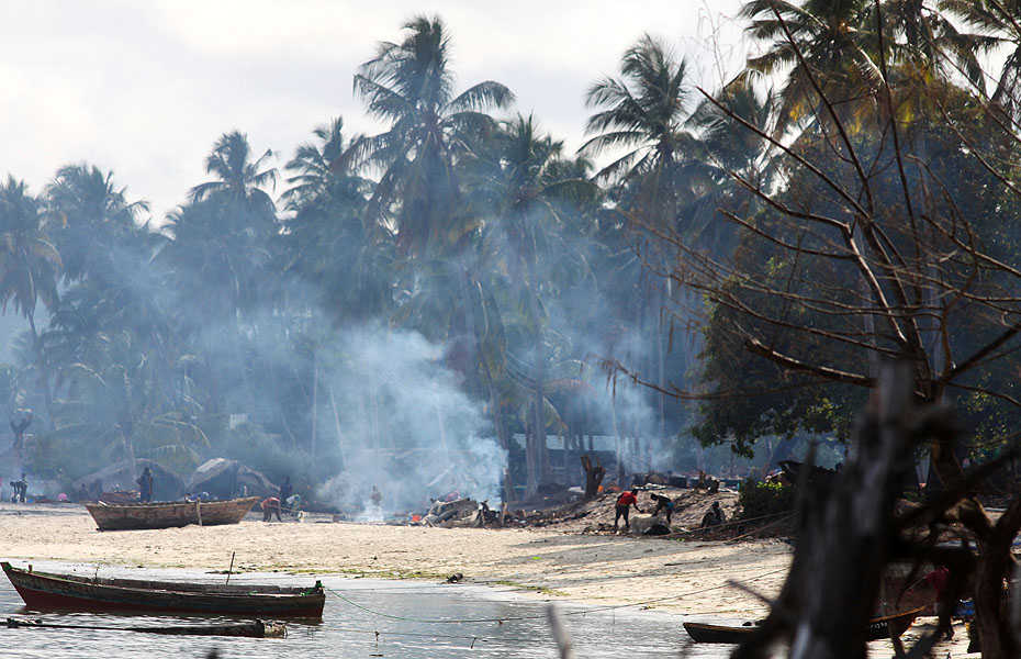
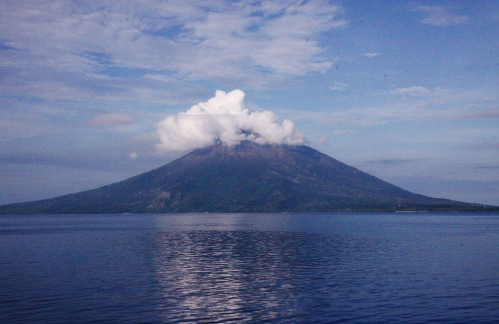
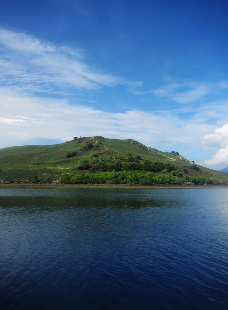
The capital city Lewoleba (also known as Labala) is found on the Western part of the island alongside a huge bay facing the Ilê Ape volcano in the North.

Source: Wikipedia (under GNU Free Documentation License)

Categories
Lesser Sunda Islands

Pulau Pantar

Pantar (Indonesian: Pulau Pantar) is the second largest island in the Indonesian Alor Archipelago, after Alor. The island is about 50 km north-to-south, and varies from 11 to 29 km in east-west width. It has an area of 728 km².

The island consists of two distinct geographic zones. The eastern zone is dominated by a range of verdant hills which drop steeply to the coast of the Alor Strait. The western zone is relatively flat, consisting of a plain which gently slopes to the west from the 900 m active volcano, Mt. Sirung.

Source: Wikipedia (under GNU Free Documentation License)

Categories
Maluku Islands

Pulau Wetar

The tropical island of Wetar belongs to the Indonesian province of Maluku and is the largest island of the Barat Daya Islands (literally Southwest Islands). It lies east of the Lesser Sunda Islands, which include nearby Alor and Timor, but it is politically part of the Maluku Islands.

To the south, across the Wetar Strait, lies the island of Timor; at its closest it is 50 km away. To the west, across the Ombai Strait, lies the island of Alor. To the southwest is the very small island of Liran, which is also part of Wetar district (kecamatan) and, further southwest, the small East Timorese island of Atauro. To the north is the Banda Sea and to the east lie Romang and Damar Islands, while to the southeast lie the other principal islands of the Barat Daya Islands.

The principal towns on Wetar are Lioppa in the northwest, Ilwaki in the south, Wasiri in the north, Masapun in the east, and Arwala in the northeast. These are connected by roads.

Source: Wikipedia (under GNU Free Documentation License)

Categories
Maluku Islands

Pulau Reong

The small island of Reong, which lies off the northwest coast of Wetar, presents a change in scenery as it is made of limestone. Sharks, barracuda and schools of other large pelagics frequently visit these waters. Other delights can be found while snorkeling the impressive walls and a site full of diverse marine life.

Categories
Maluku Islands

Pulau Romang

Romang is an island, part of Barat Daya Islands in Indonesia, located at 7.5833333°S 127.4333333°E, east of Wetar Island.

Source: Wikipedia (under GNU Free Documentation License)

Categories
Maluku Islands

Pulau Nyata


Categories
Maluku Islands

Pulau Sermata


Categories
Maluku Islands

Pulau Terbang Utara


Categories
Maluku Islands

Pulau Terbang Selatan


Categories
Tanzania

Mafia Island IV

Mafia Island (“Chole Shamba”) is part of the Tanzanian Spice Islands, together with Unguja and Pemba. As one of the six districts of the Pwani Region, Mafia Island is governed from the mainland, not from the semi-autonomous region of Zanzibar, of which it has never been considered to be a part.

According to the 2002 Tanzania census, the population of the Mafia District was 40,801.The economy is based on fishing, subsistence agriculture and the black market. The island attracts some tourists, mainly adventure scuba divers, game fishermen, and people wanting relaxation.

The Mafia archipelago consists of one large island (394 km²) and numerous smaller ones. Some of these are inhabited, such as Chole Island (2 km²), with a population of 800. Chole Bay, Mafia’s protected deep-water anchorage and original harbour, is studded with islands, sandbanks and beaches. The main town is Kilindoni. The stretch of water between the deltas of the Rufiji River and the island is called Mafia Channel. There are popular rumours of pygmy hippo on the island but there are zero confirmed sightings.

Source: Wikipedia (under GNU Free Documentation License)