Categories
Cape Verde

Sal

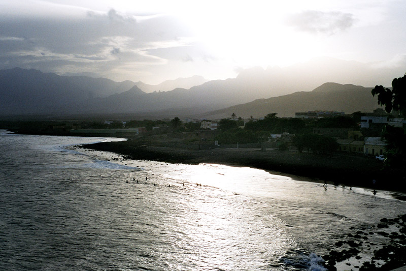
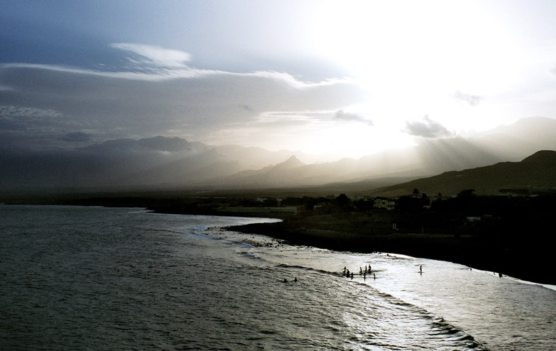
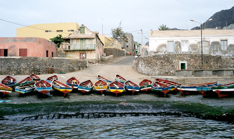
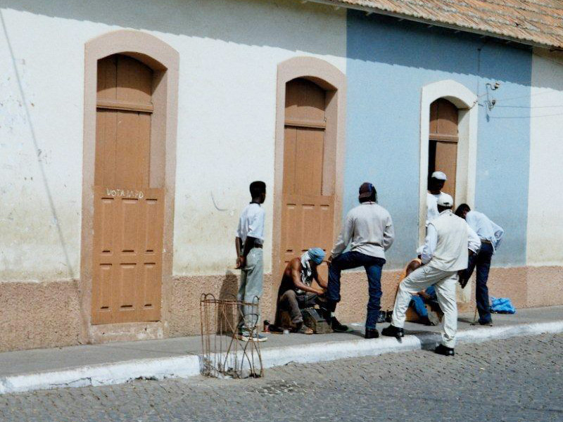
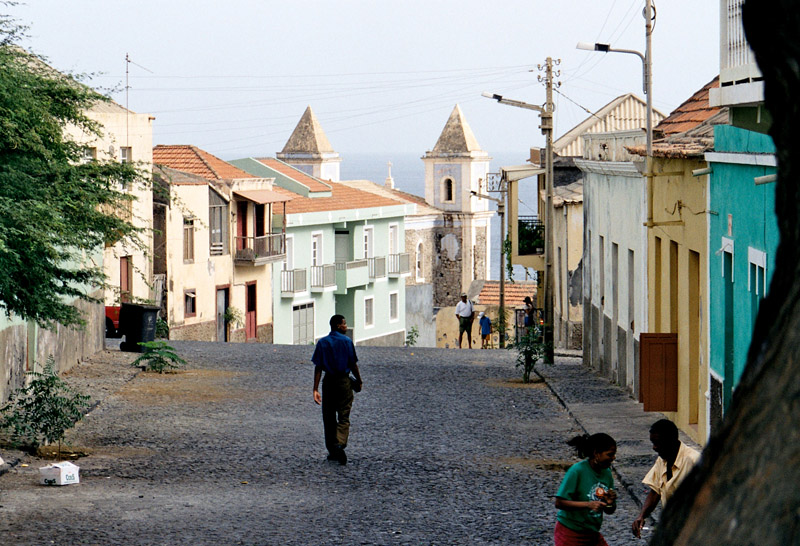
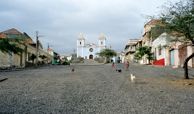
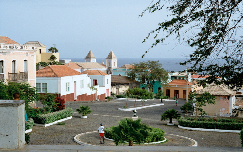
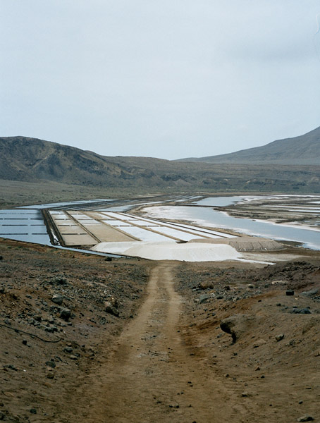
Sal (Portuguese for “salt” — from the mines at Pedra de Lume) is an island in Cape Verde. It belongs to the northern group of islands, called Barlavento. The island is composed by a single administrative division, the Sal municipality. The island is home to Amílcar Cabral International Airport, the main airport of Cape Verde.

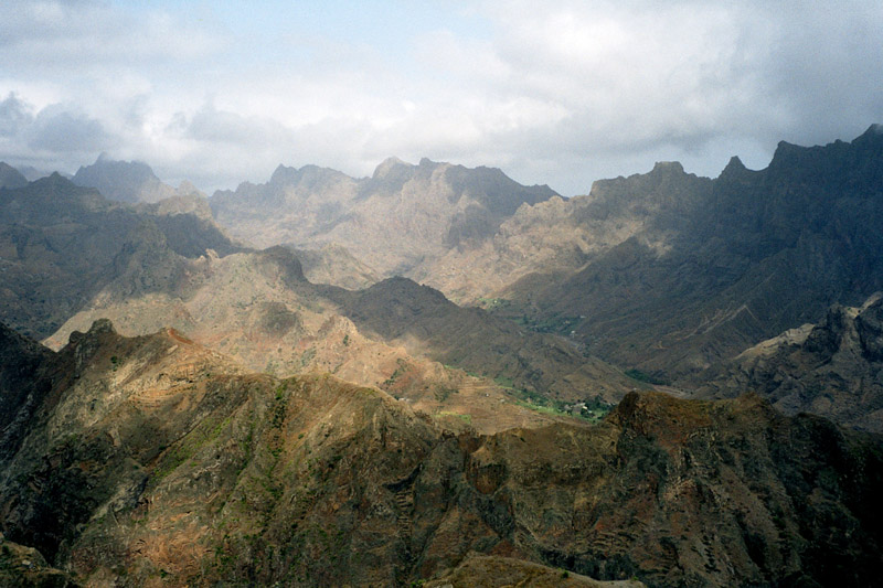
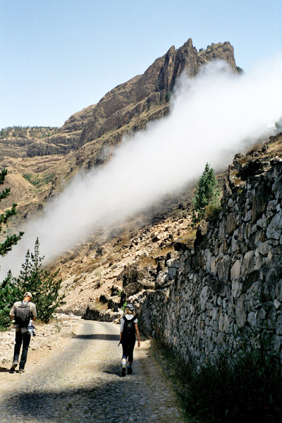
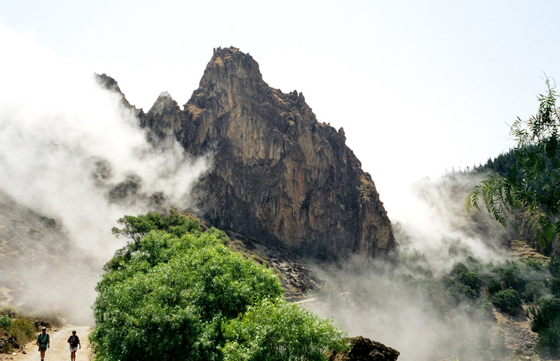
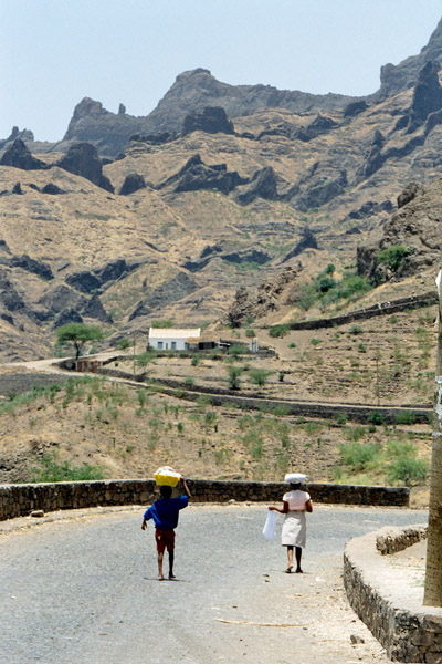
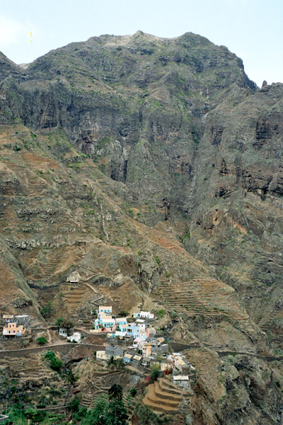
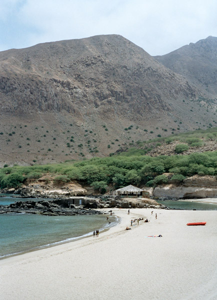
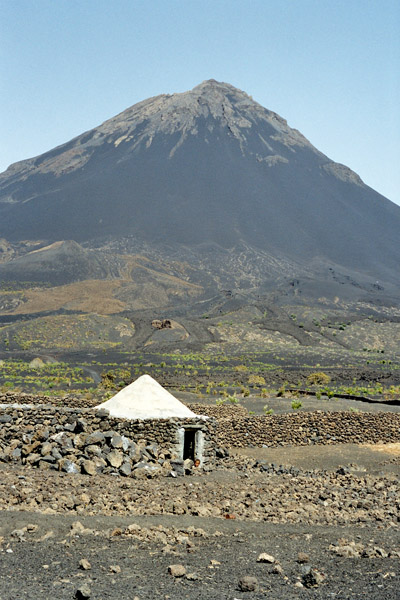
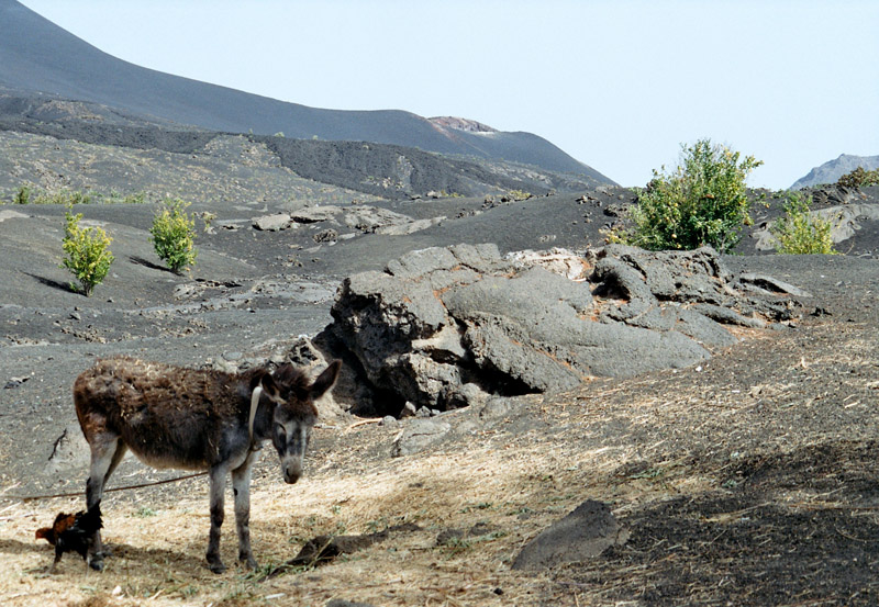
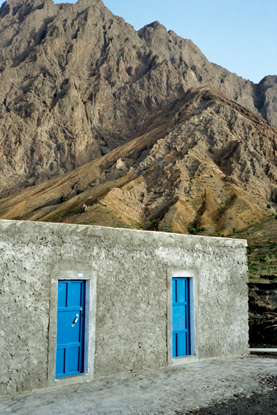
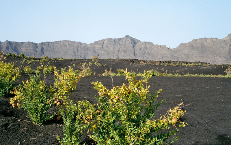
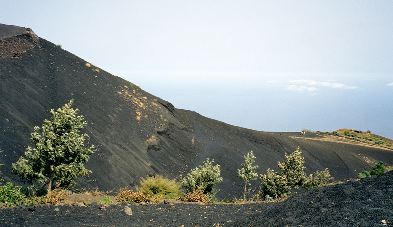
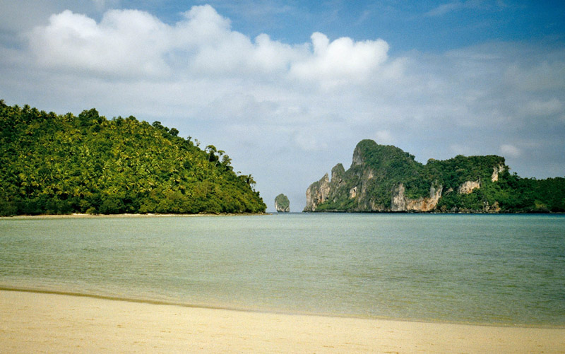
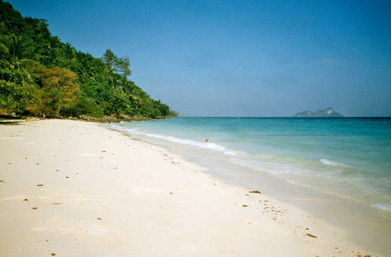
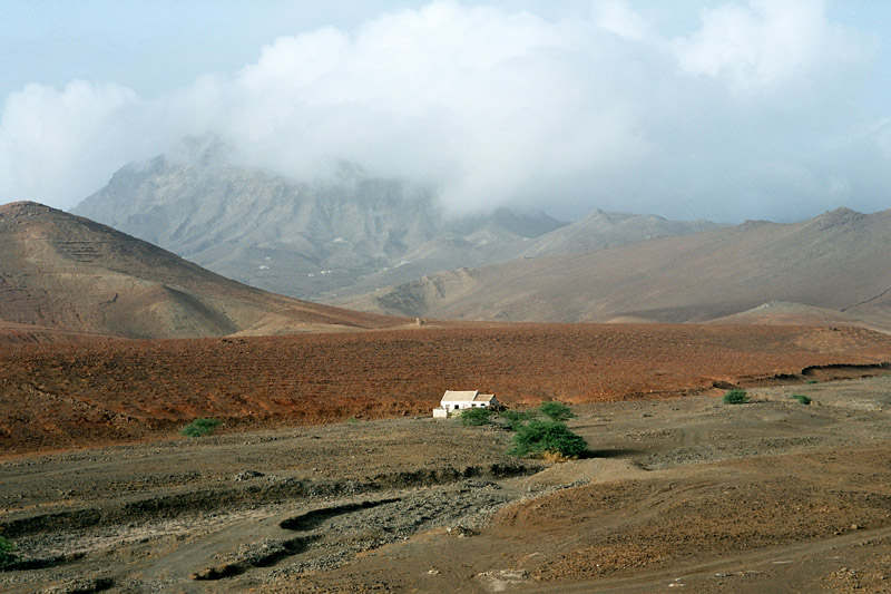
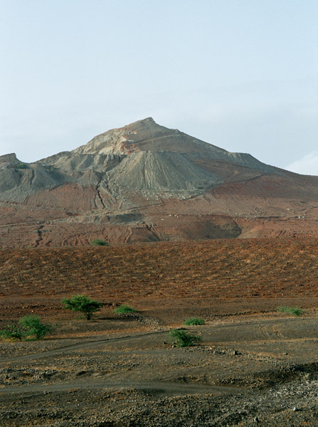
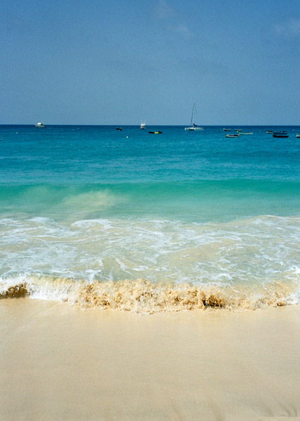
The island is 30 km long by 12 km wide. It is one of the three sandy eastern islands (Sal, Boa Vista and Maio) of the archipelago, with white sandy beaches and fairly flat. The highest elevation of 406 m at Monte Grande. Serra Negra has a height of 92 m.

Sal Island has 350 days of sunshine. Winds mainly blow from the northeast. However, many days do also have cloud, but it tends to be broken and seldom brings rain. The ‘rainy season’ is from August to mid-October, although rainfall is still low.

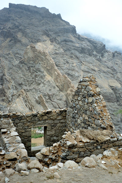
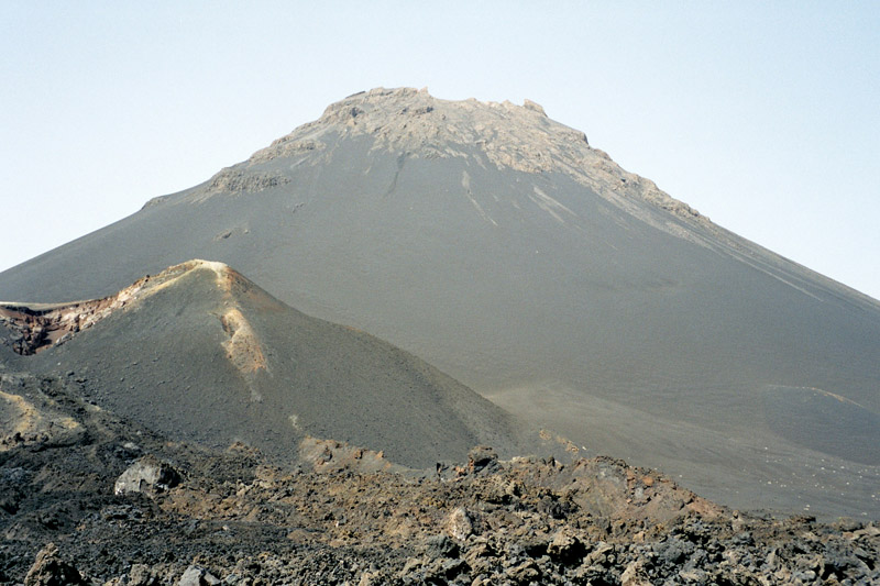
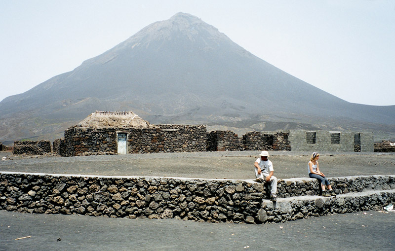
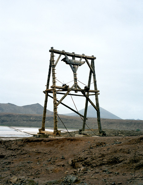
The island was discovered on December 3, 1460 and named Llana until salt deposits were found. Sal is the geologically oldest island in Cape Verde, formed 50 million years ago during the eruption of a volcano which is now inactive.

Source: Wikipedia (under GNU Free Documentation License)

Categories
Cape Verde

Santo Antão I

Santo Antão (Portuguese for “Saint Anthony”), or Sontonton in Cape Verdean Creole, is the westernmost and largest of the Barlavento islands of Cape Verde. The nearest main island is São Vicente to the southeast, separated by a channel named Canal de São Vicente. It is the westernmost large island in Cape Verde and the continent of Africa, and the second largest in Cape Verde.

The island, entirely made up of volcanic material. The tallest mountain is Topo de Coroa, reaching a height of 1,979 m. The second tallest is Pico da Cruz at 1,585 m. The island is divided into north and south by a mountain range long considered impenetrable but now crossed by a road. The island’s main town is Ponta do Sol on the north coast, home to the Agostinho Neto Airport, while its ferry port is Porto Novo on the south coast. A part of the island in the southeast has an arid climate, while the northwest receives relatively normal precipitation. Its valleys are suffering heavy erosion.

Source: Wikipedia (under GNU Free Documentation License)

Categories
Cape Verde

Santiago

Santiago (Portuguese for “Saint James”), or Santiagu in Cape Verdean Creole, is the largest island of Cape Verde, its most important agricultural centre and home to half the nation’s population. At the time of Darwin’s voyage it was called St. Jago.

Santiago is located between the islands of Maio (40 km west) and Fogo (50 km east) and is one of the Sotavento. It was the first of the islands to be settled, the town of Cidade Velha being founded as Riberia Grande in 1462. It is also home to the nation’s capital city of Praia and to one of the islands’ four international airports, Praia International Airport, 3 km from the capital (IATA airport code: RAI, Praia).

Santiago is the largest island of Cape Verde, with an area of 991 km². The island is mountainous, although slightly flatter in the southeast. The wetter climate of the interior and the eastern coast contrasts with the dryer one in the south/southwest coast. Praia, located in the southeast coast, is the largest city of the island, and also the largest city and capital of the country. Other towns on the island include Cidade Velha, 15 km west of Praia, Cape Verde’s first capital; Assomada, 60 km north and Tarrafal in the northern part of the island 75 km from the capital.

Source: Wikipedia (under GNU Free Documentation License)

Categories
Cape Verde

Fogo

Fogo (Portuguese for “fire”) is an island in the Sotavento group of Cape Verde. It is the most prominent of the group, rising to nearly 3,000 m (10,000 ft) above sea level at Mount Fogo.

The island is located between the islands of Santiago and Brava. Practically the whole island is an active volcano that has been periodically active, last erupting in 1995, forming a new crater called Pico Pequeno. Its largest feature is a 9 km wide caldera, which has walls 1 km high. The caldera has a breach in its eastern rim, and a large peak rises in the centre. The central cone Pico forms the highest point of the island and its summit is about 100 m higher than the surrounding wall of the caldera. Lava from the volcano has reached the eastern coast of the island within historical times.

A small village, called Chã das Caldeiras, exists at the base of the volcano, and the residents are periodically evacuated during eruptions.

The island’s main town is São Filipe, near which is an airport. First settled in the 1480s, it is largely an agricultural island. The islands also houses schools, a gymnasium, banks, a post office, some hotels and squares (praças).

Source: Wikipedia (under GNU Free Documentation License)

Categories
Thailand

Ko Phi Phi Don

Ko Phi Phi Don is the largest of the Phi Phi Islands, in Thailand. It is the only island in the group with permanent inhabitants. Like the other islands in the group, Ko Phi Phi Don is a non-volcanic island largely made of limestone. It is almost separated into two islands, but a strand of flat land connects them. On this strand lies the largest town on the island, as well as most of the resorts.

Ko Phi Phi Don is now squarely on the tourist map, and tourists from all over the world (especially Europe, Japan, and the wealthier Southeast Asian countries) flock to the island. Accessible from Phuket and mainland Krabi province, all tourists must arrive by boat. (The trip from Phuket takes around 90 minutes.) This has essentially turned the island into a rush of day trippers who overpopulate the island from 11AM-3PM. The island still holds much charm that can be enjoyed in the hours that the flocks from Phuket are not there. While in former times, Ko Phi Phi Don was a serene paradise, parts of it (especially the Ton Sai Bay area) have been exploited for tourism. Restaurants, shops, internet cafes, and shanty towns abound.

Source: Wikipedia (under GNU Free Documentation License)

Categories
Thailand

Ko Phi Phi Leh

Ko Phi Phi Leh (or Ko Phi Phi Ley) is an island of the Phi Phi archipelago, in the Andaman Sea. It belongs to the Krabi province of Thailand.

Ko Phi Phi Leh is the second largest island of the archipelago, the largest one being Ko Phi Phi Don. The island consists of a ring of steep limestone hills surrounding a shallow bay, the Mahya Bay.

Mahya Bay (or Maya Bay) is popular for diving, and has become even more popular after the 2000 movie The Beach was filmed there. According to the Lonely Planet’s Thailand guidebook, the 2004 tsunami dramatically improved the look of Maya Bay. This was due to the fact that the high waves had cleaned up the beach and removed all the landscaping the Fox production team had added.

Controversy arose during the making of the film The Beach due to 20th Century Fox bulldozing and rescaping of the natural beach setting of Ko Phi Phi Leh to make it more “paradise-like”. The production altered some sand dunes and cleared some coconut trees and grass to widen the beach. Fox set aside a fund to reconstruct and return the beach to its natural state, however lawsuits were filed as many believed the damage to the ecosystem is permanent and restoration attempts failed.

The lawsuits dragged on for years. In 2006, Thailand’s Supreme Court upheld an appeal court ruling that the filming had harmed the environment and ordered that damage assessments be made. Defendants in the case included 20th Century Fox and some Thai government officials.

Source: Wikipedia (under GNU Free Documentation License)

Categories
Indonesia

Komodo

Komodo is one of the 17,508 islands that make up the Republic of Indonesia. The island has a surface area of 390 km² and over 2000 inhabitants. The inhabitants of the island are descendants of former convicts who were exiled to the island and who have mixed themselves with the Bugis from Sulawesi. The population are primarily adherents of Islam but there are also Christian and Hindu minorities.

Komodo is part of the Lesser Sunda chain of islands and forms part of the Komodo National Park. Particularly notable here is the native Komodo dragon. In addition, the island is a popular destination for diving. Administratively, it is part of the East Nusa Tenggara province.

Komodo lies between the substantially larger neighboring islands Sumbawa to the west and Flores to the east.

The island is famous not only for its heritage of convicts but also for the unique fauna which roam it. The Komodo dragon, the world’s largest living lizard, takes its name from the island. A type of monitor lizard, it inhabits Komodo and some of the smaller surrounding islands.

Source: Wikipedia (under GNU Free Documentation License)

Categories
Azores

Faial

Faial Island, also known in English as Fayal, is a Portuguese island of the Central group (Grupo Central) of the Azores. Its area is 173 km² and it is located 28.7° W longitude and 38.6° N latitude. The nearest island is Pico Island to the east. The island is also referred to as Ilha Azul (the “Blue Island”), by poet Raul Brandão, due to the large quantity of Hydrangeas that bloom during the summer months.

During a period of medieval legends and unsubstantiated stories of mystical lands, the island of Faial first appeared on the 1375-1377 Atlas Catalão, as Ilha da Ventura or Insula de La Ventura (Venture Island). By 1427 they had discovered what most had suspected: islands in the middle of the Atlantic (specifically the islands of Santa Maria and São Miguel). Subsequent years would occur new discoveries, until during his first voyage of exploration (in 1451) the navigator Diogo de Teive explored the coast of Faial.

It was the humanist friar Gaspar Frutuoso who recounted that the first explorers did not find a uninhabited island: a hermit, who had a small flock and lived in a cave in the interior, had occupied the land.

Source: Wikipedia (under GNU Free Documentation License)