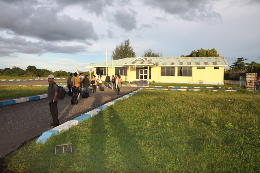

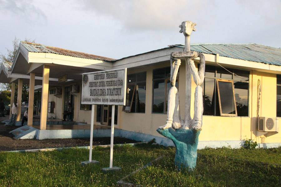


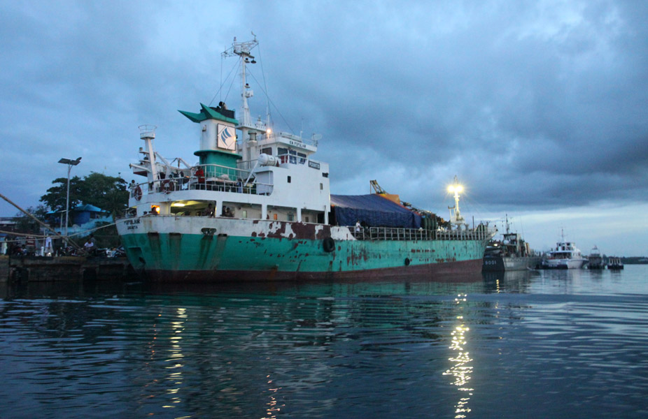
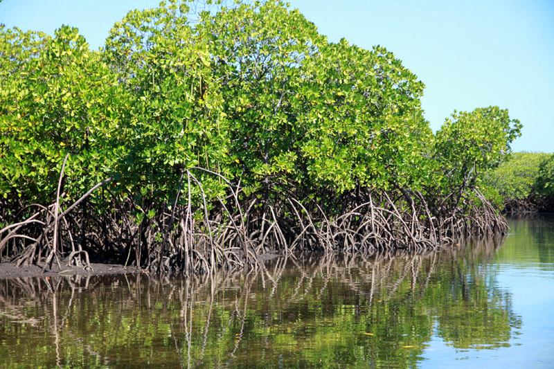
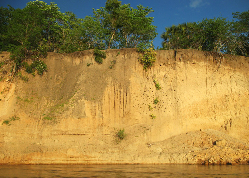
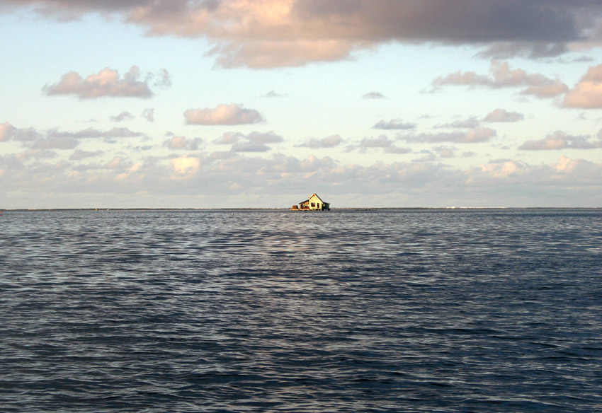
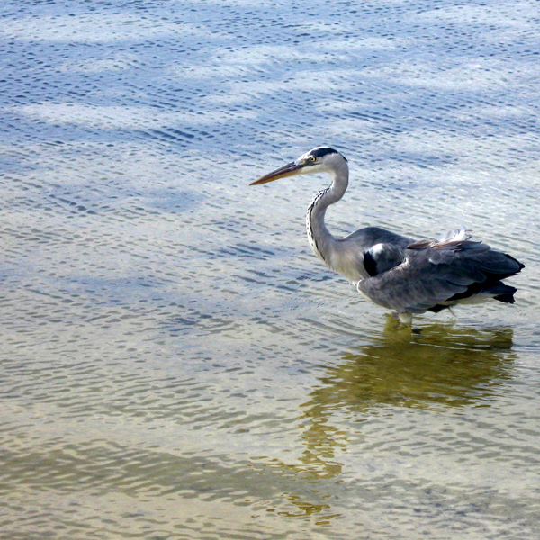
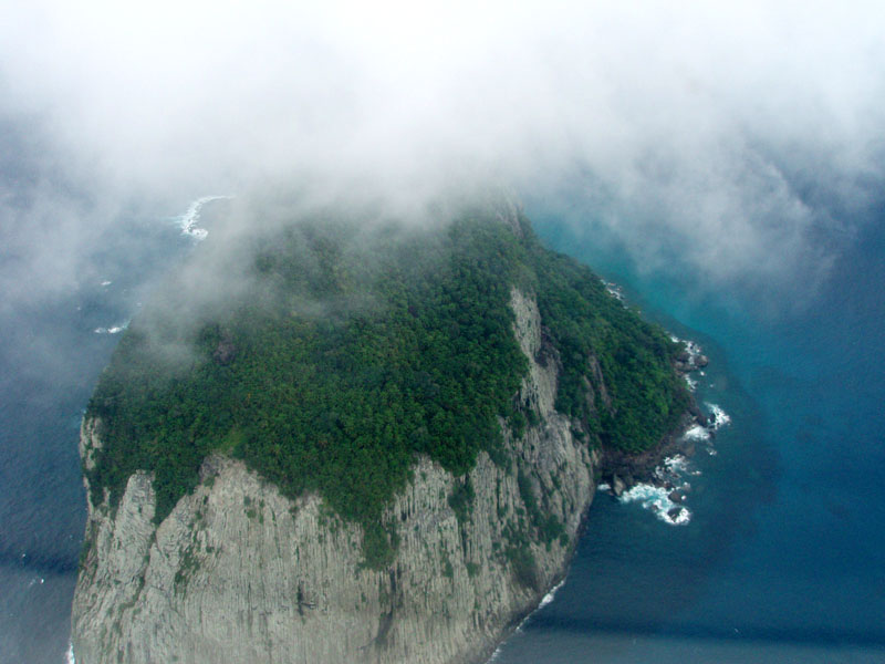
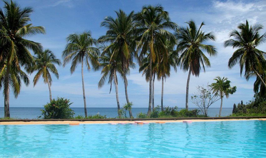
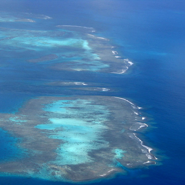
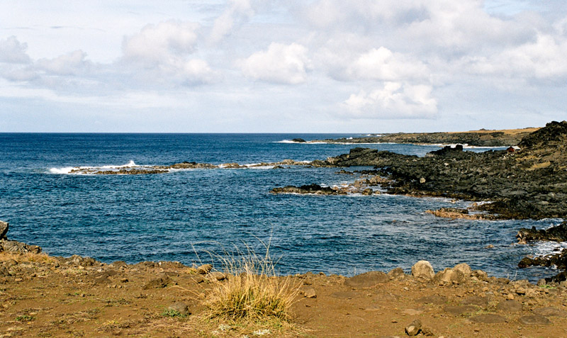
Kai Kecil (Little Kai Island) is a part of the Kai Islands group of the Maluku Islands, Indonesia. Its area is 399 km2. The other main island in the group is Kai Besar (Great Kai Island). It contains the major town of Tual.
Kai Kecil (Little Kai Island) is a part of the Kai Islands group of the Maluku Islands, Indonesia. Its area is 399 km2. The other main island in the group is Kai Besar (Great Kai Island). It contains the major town of Tual.
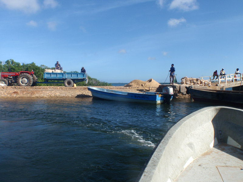
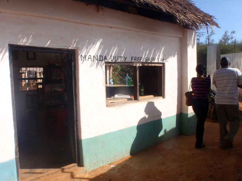
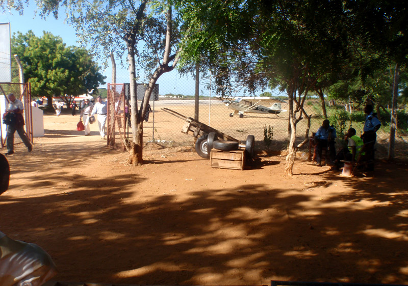
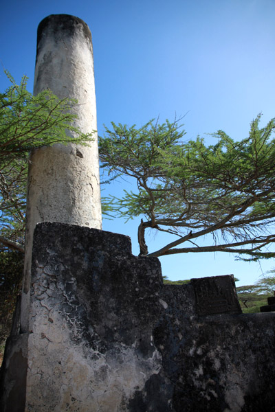
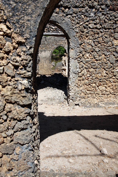
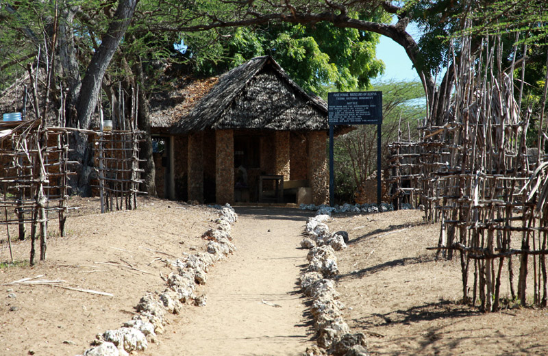
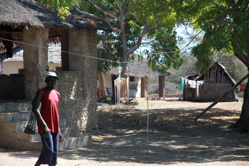
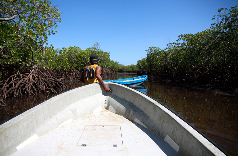
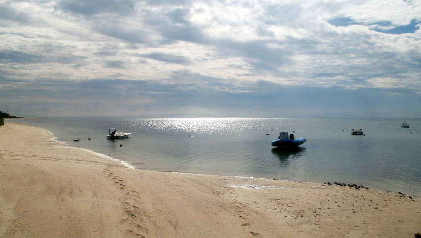
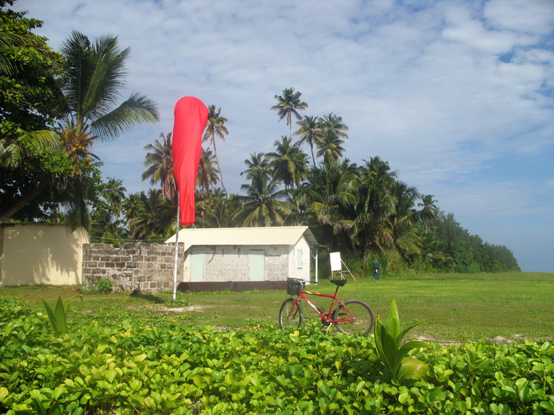
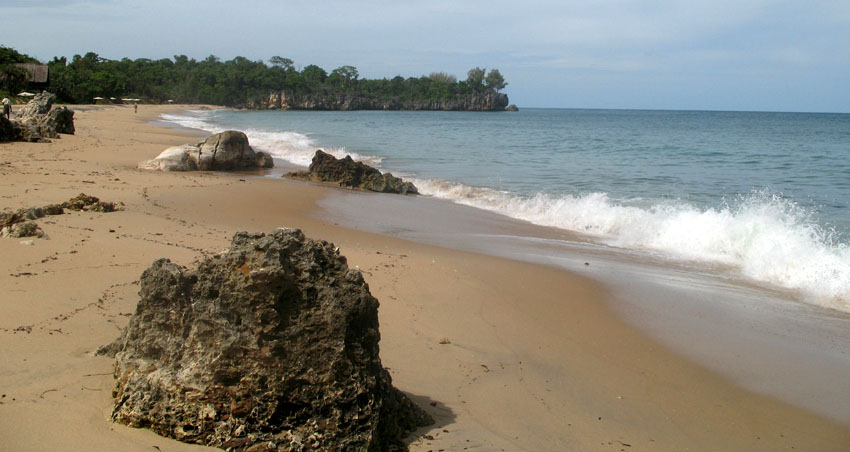
Manda is an island of the Lamu Archipelago of Kenya, known for the prosperous 9th century ports of Takwa and Manda town. The island is now linked by ferry to Lamu and is home to Manda Airport, while Manda Toto island lies to its west. The island is separated from the mainland by the narrow Mkanda channel.
Both Manda town and Takwa were probably abandoned due to lack of water in the first half of the 19th century. In the 1960s the Kenya Department of Agriculture recommended building several concrete catchments called jabias to capture rain water on the island. Two jabias were built and many families moved onto the island, farming maize, cassava, simsim and cotton.
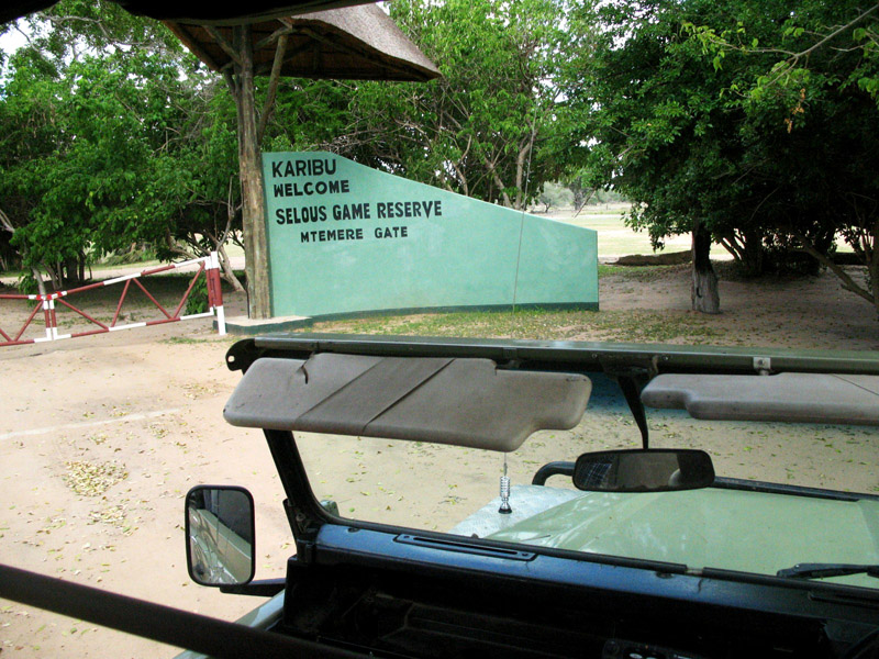
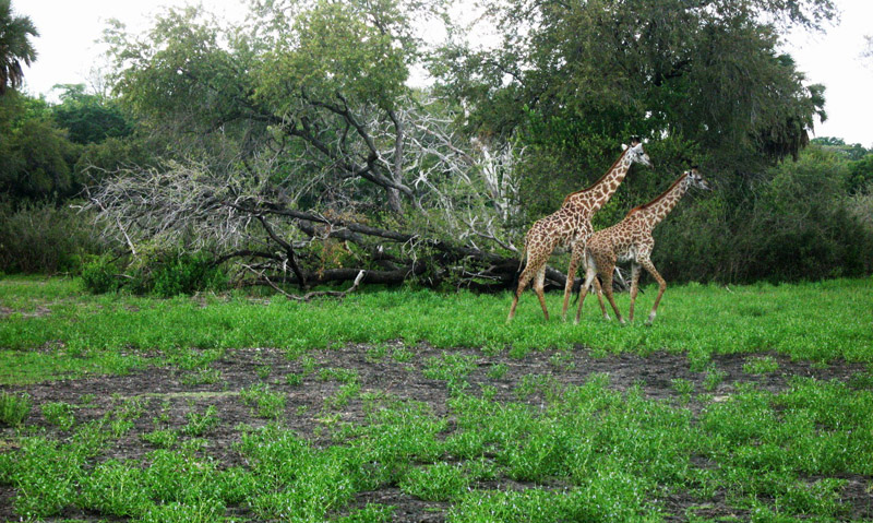
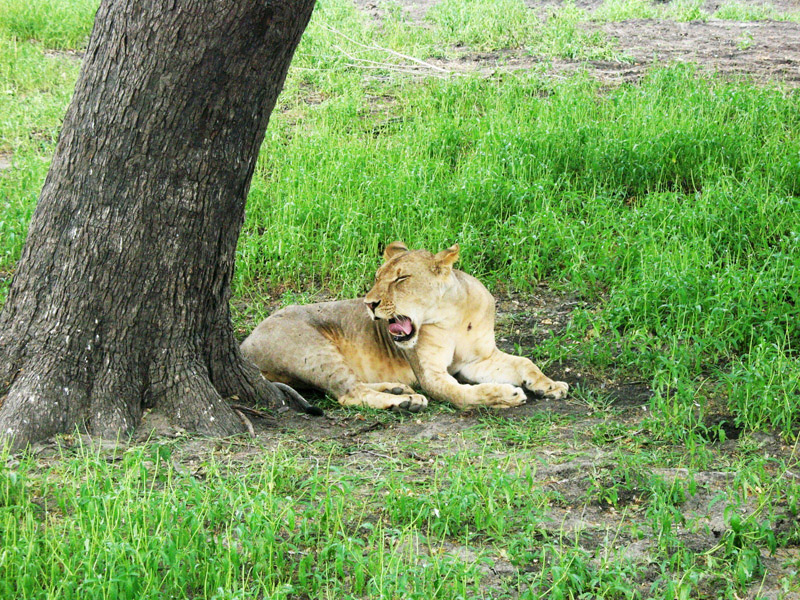
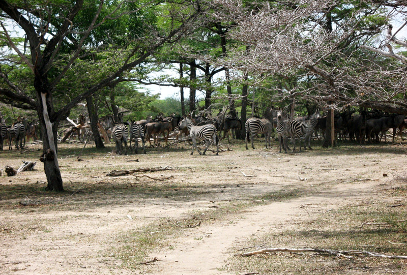
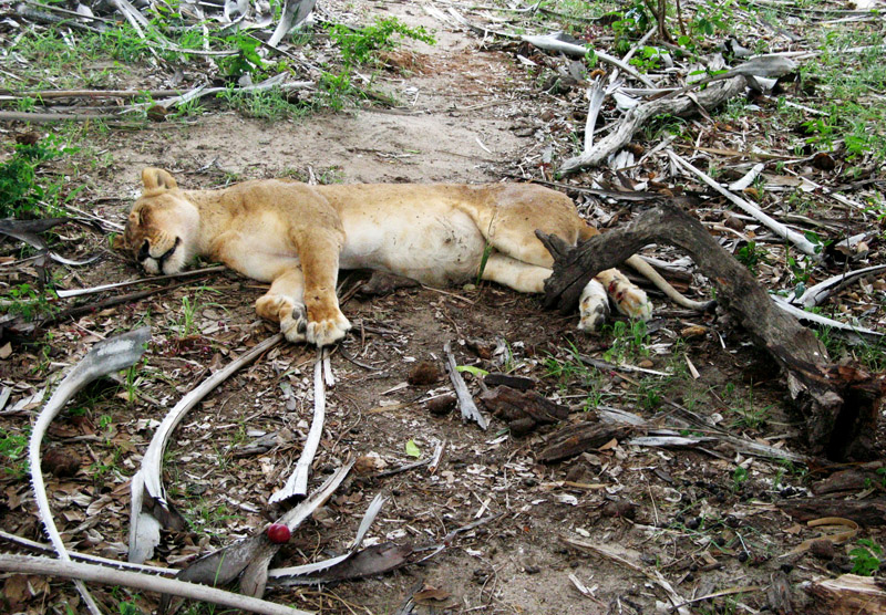
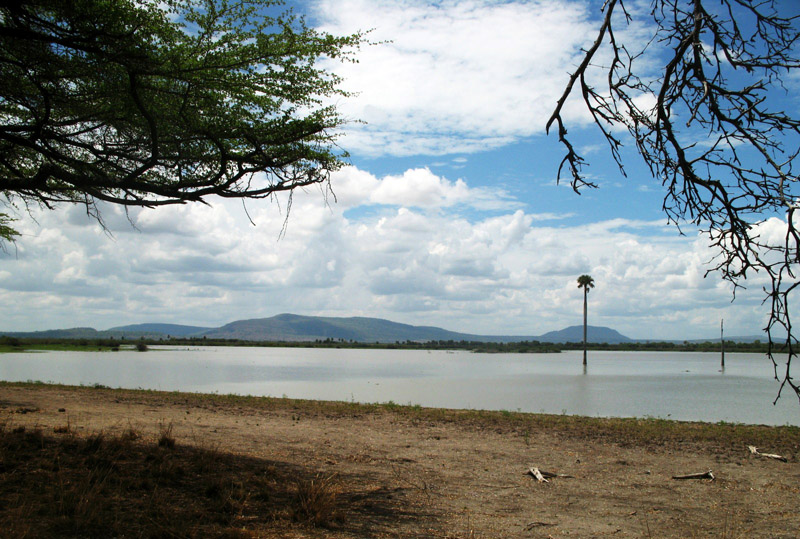
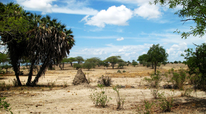
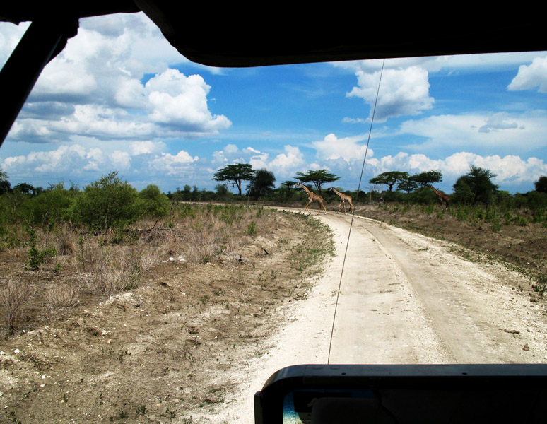
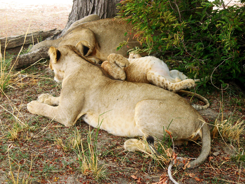
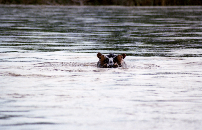
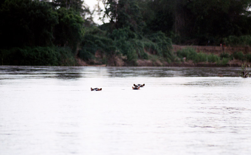
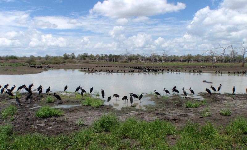
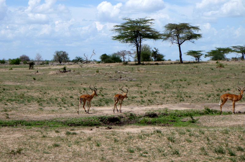
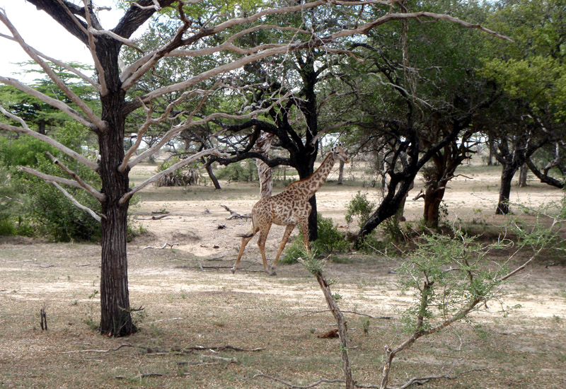
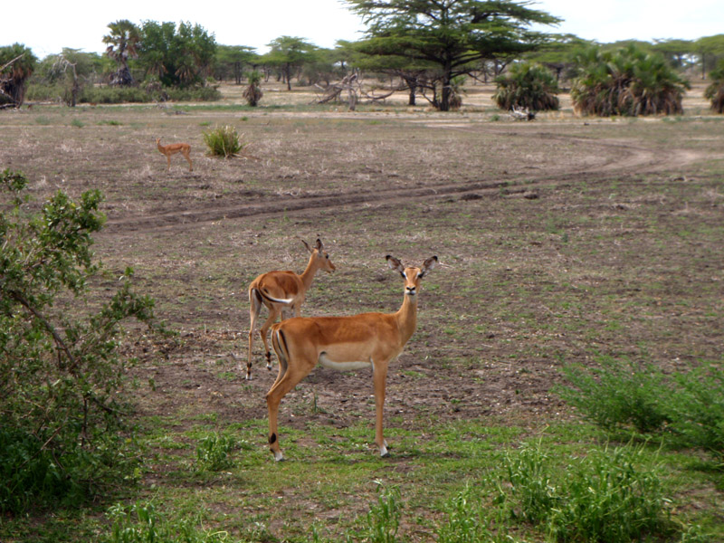
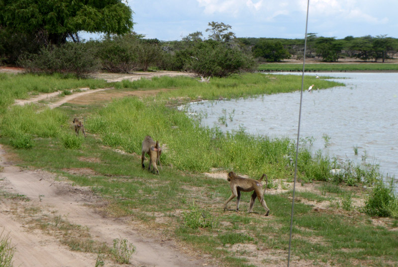
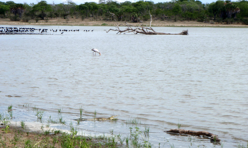
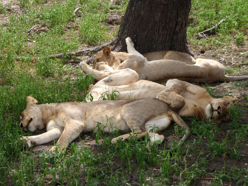
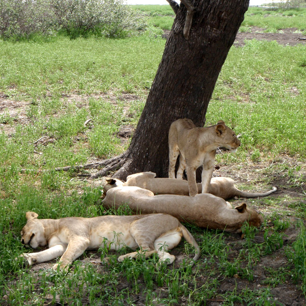
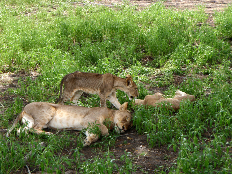
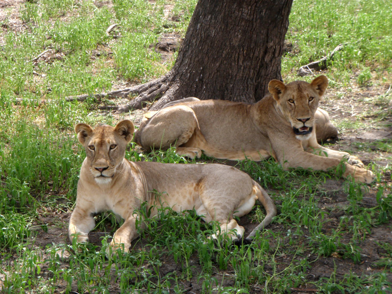
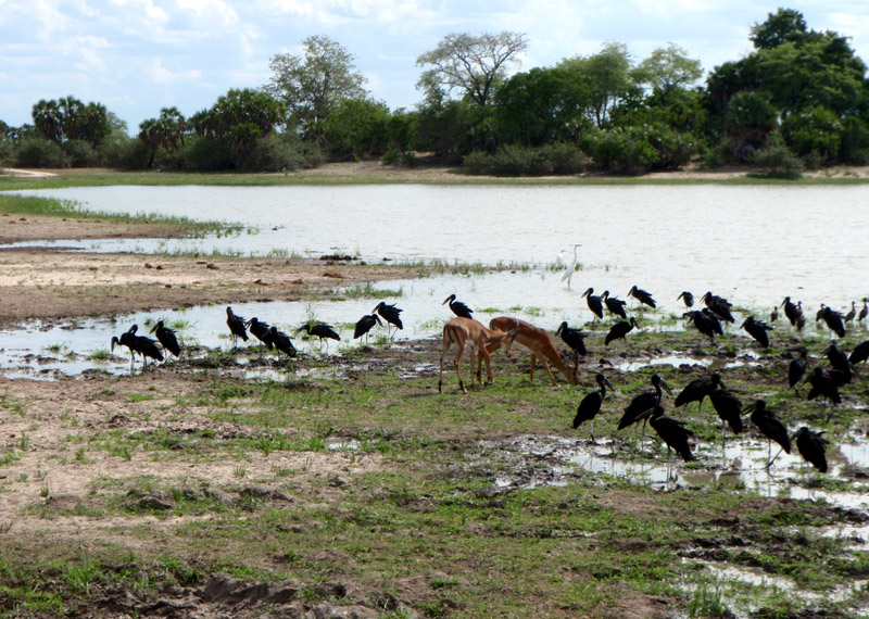
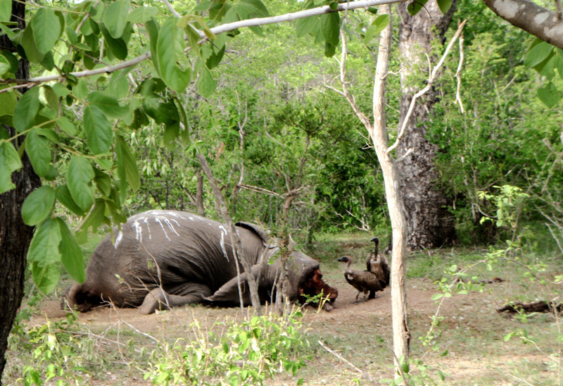
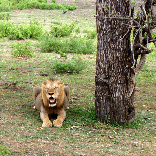
The Selous Game Reserve is one of the largest fauna reserves of the world, located in the south of Tanzania. It was named after Englishman Sir Frederick Selous, a famous big game hunter and early conservationist, who died at Beho Beho in this territory in 1917 while fighting against the Germans during World War I. Scottish explorer and cartographer Keith Johnston also died at Beho Beho in 1879 while leading a RSGS expedition to the Great Lakes of Africa with Joseph Thomson. The Selous was designated a UNESCO World Heritage Site in 1982 due to the diversity of its wildlife and undisturbed nature.
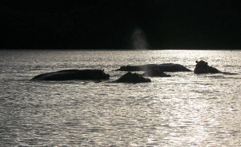
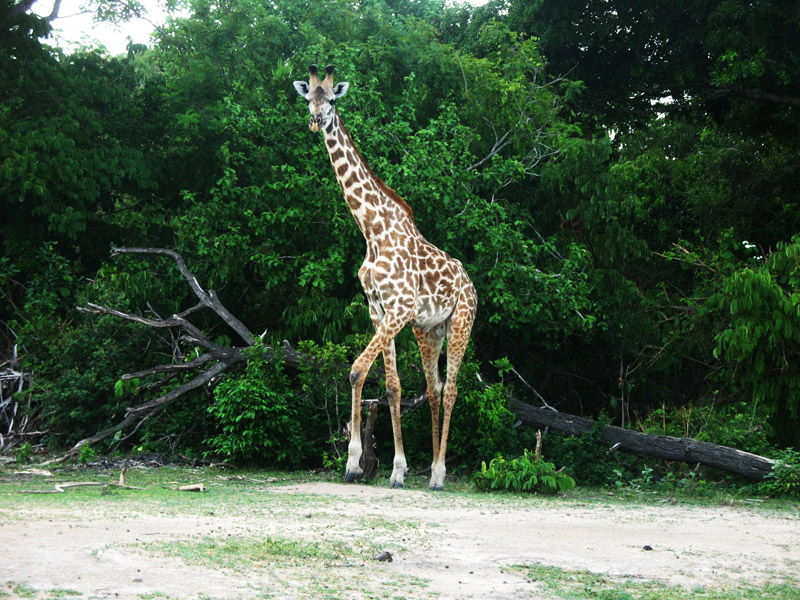
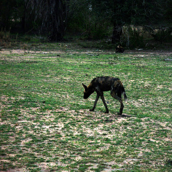
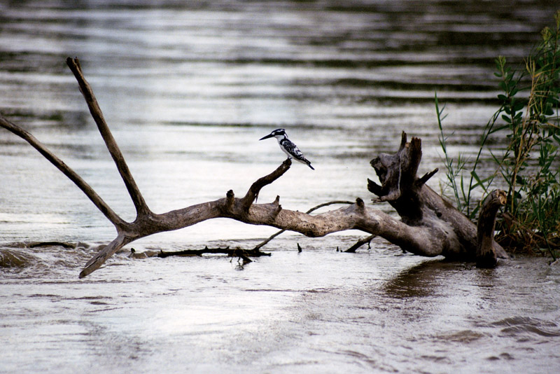
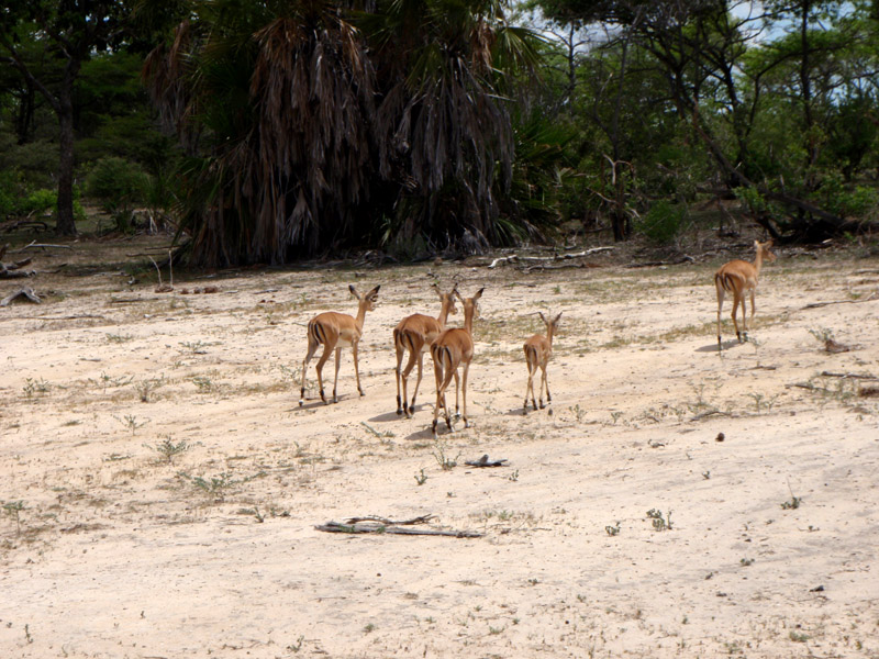
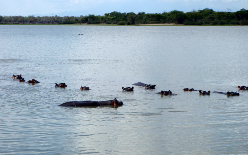
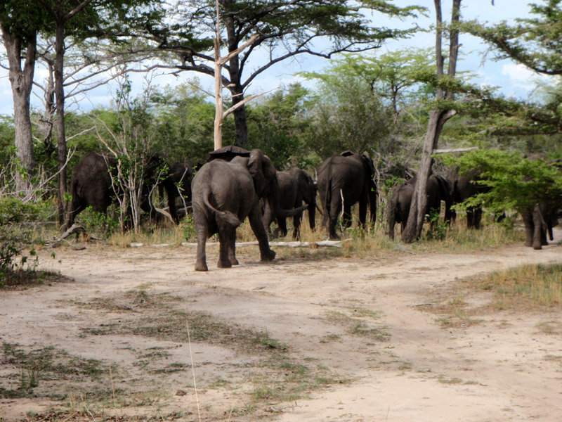
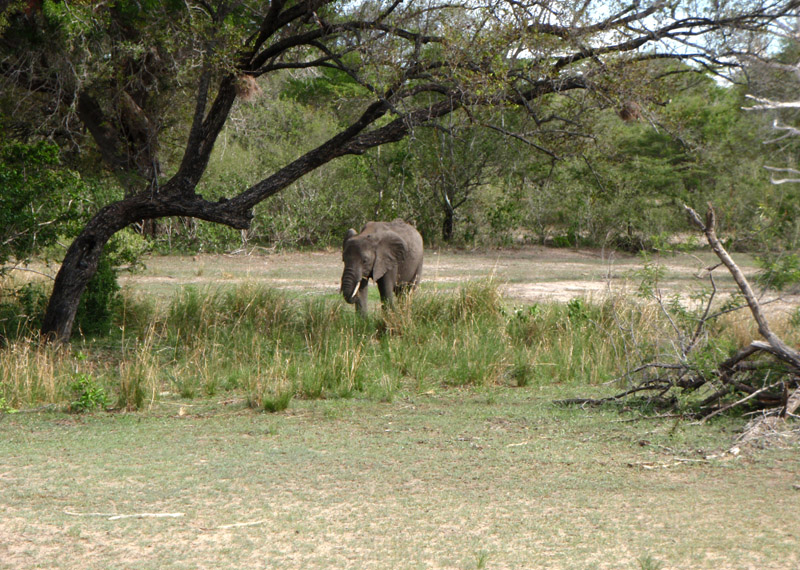
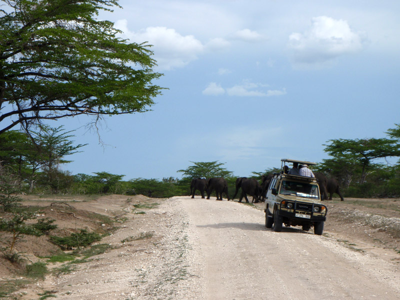
The reserve covers a total area of 54,600 km² (21,081 square miles), has additional buffer zones and no permanent human habitation or permanent structures are permitted. All (human) entry and exit is carefully controlled by the Tanzanian Game Dept. Some of the typical animals of the savanna (for example elephants, hippopotami, African Wild Dog cape buffalo and crocodiles) can be found in this park in larger numbers than in any other African game reserve or national park. The Selous is one of the last remaining pristine true wilderness areas in the world.
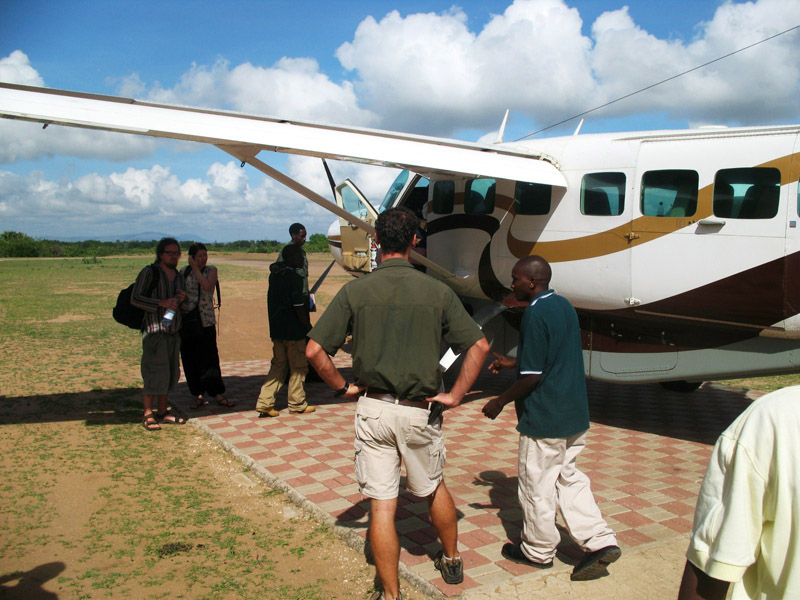
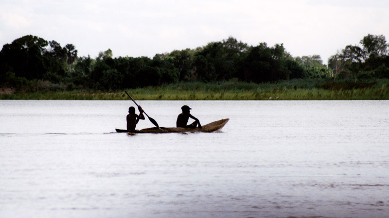
The area was first designated a protected area in 1896 by the German Governor Hermann von Wissmann and became a hunting reserve in 1905. Nowadays it also has a touristic importance, though most of it is rarely visited by humans. Presence of the Tsetse fly and very difficult road access discourage visitation; however, it is easily accessible by train or small aircraft from Dar es Salaam.
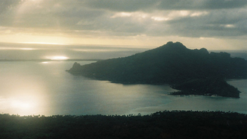
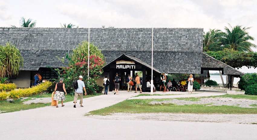
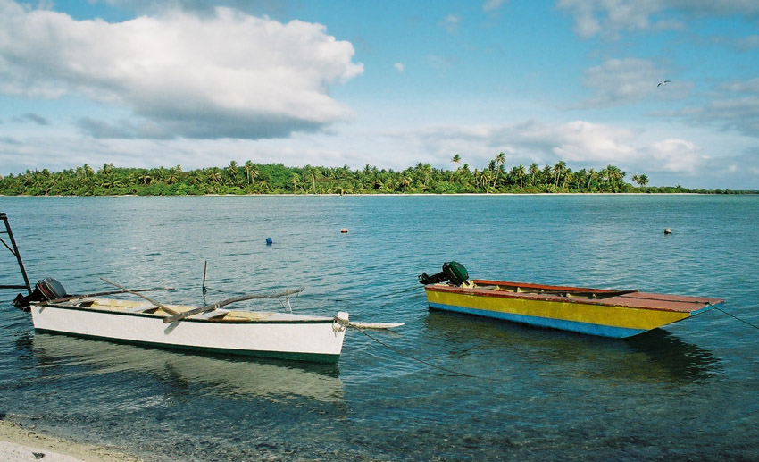
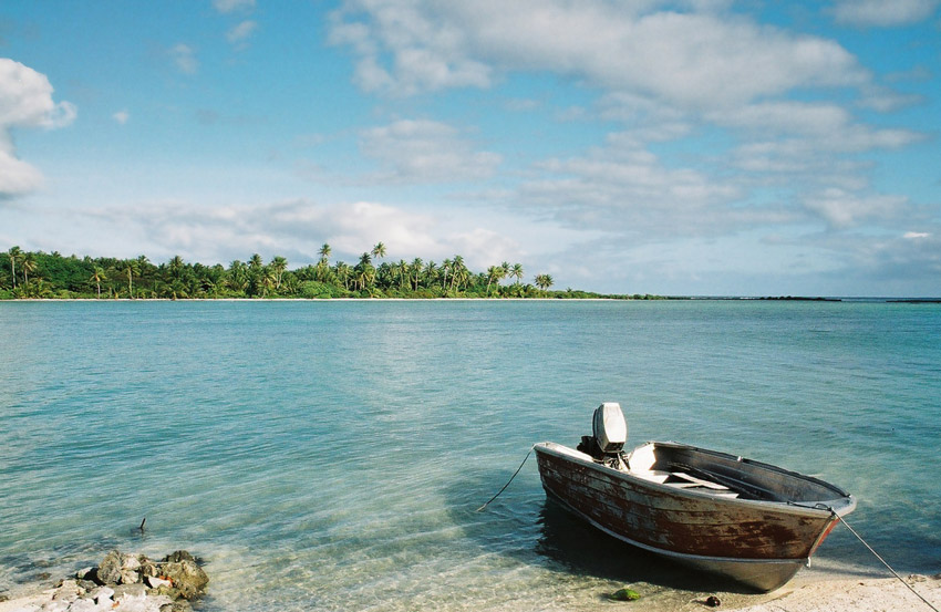
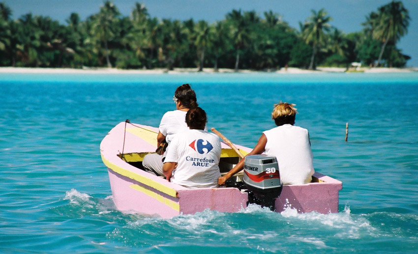
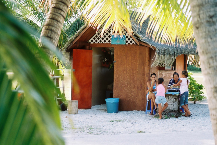
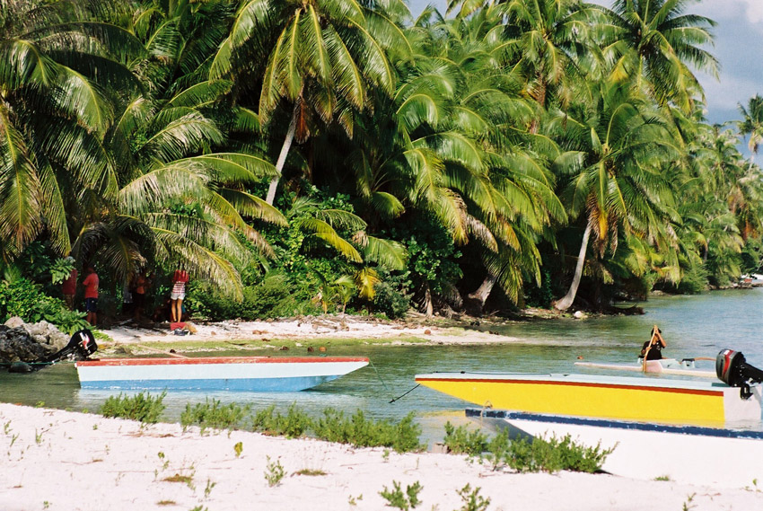
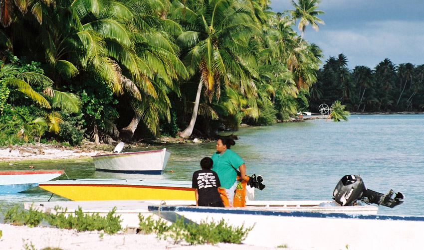
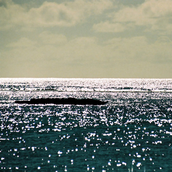
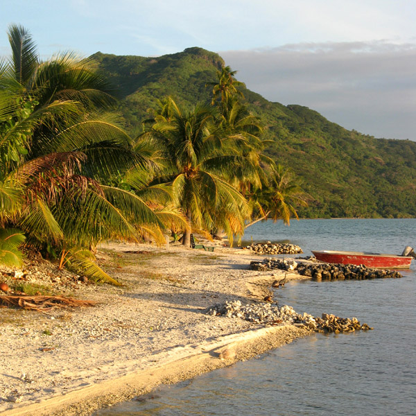
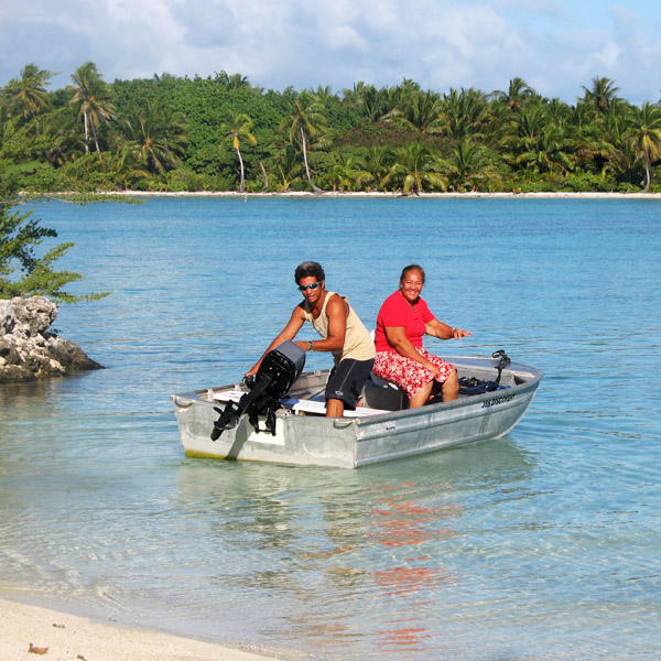
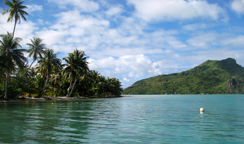
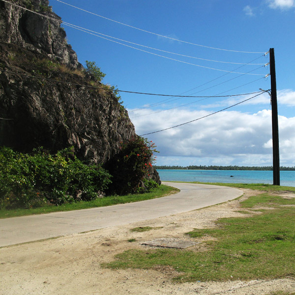
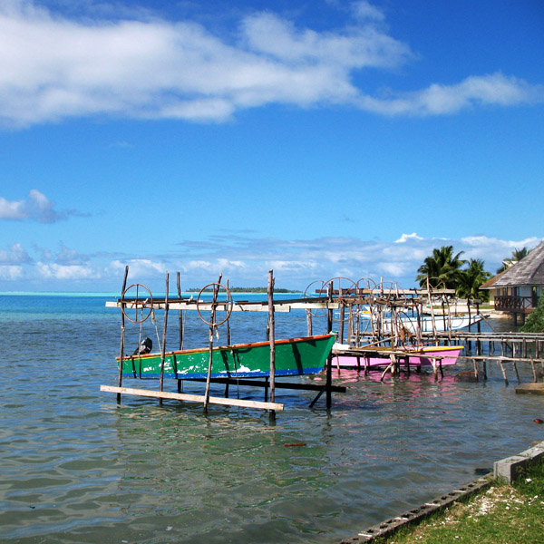
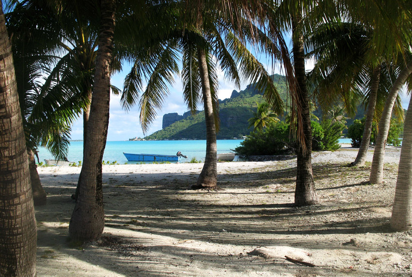
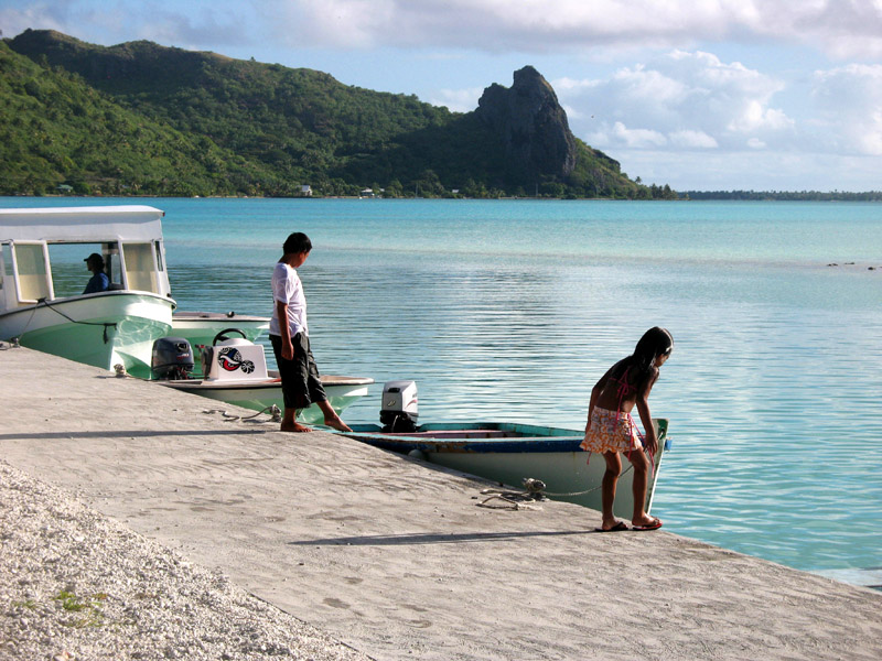
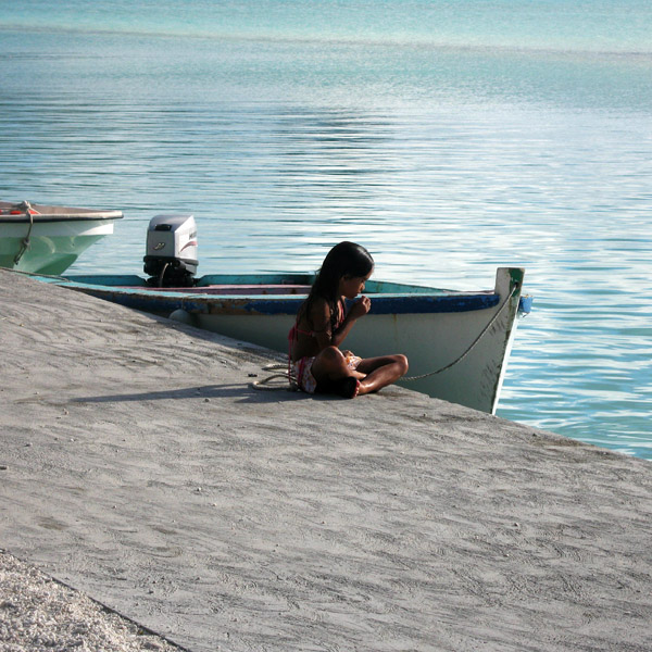
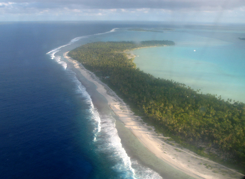
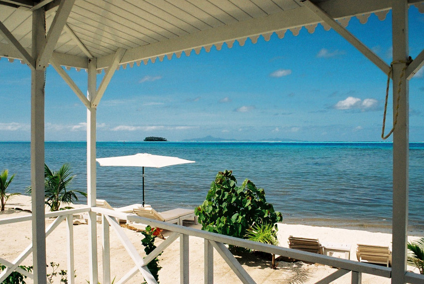
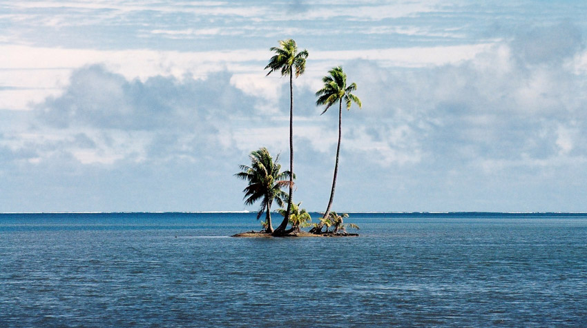
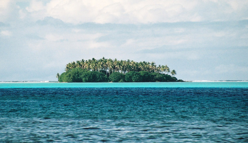
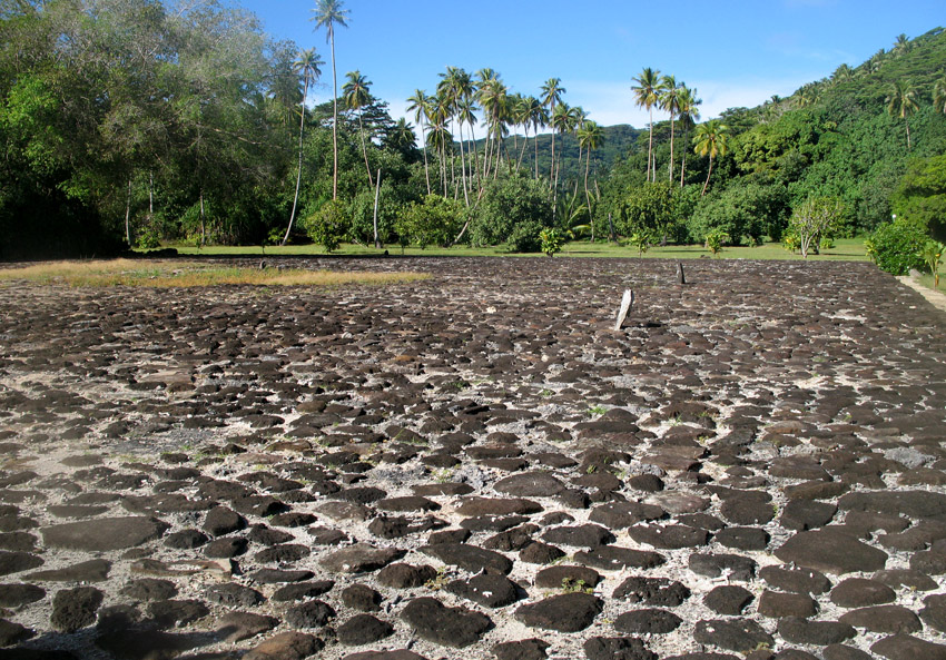
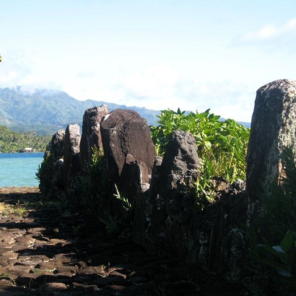
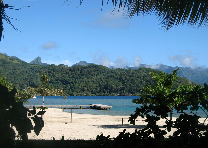
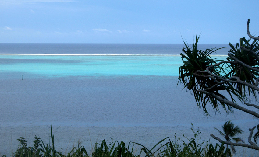
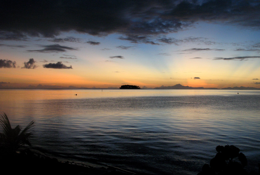
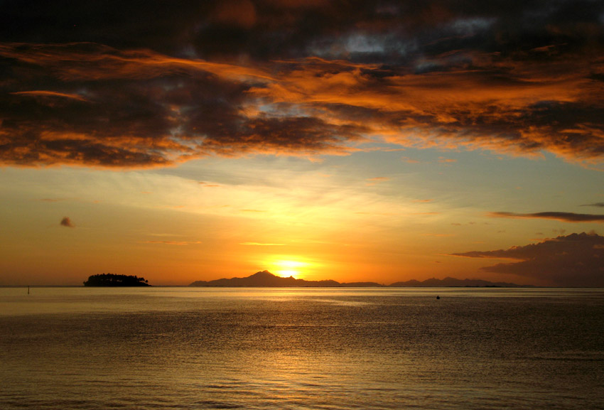
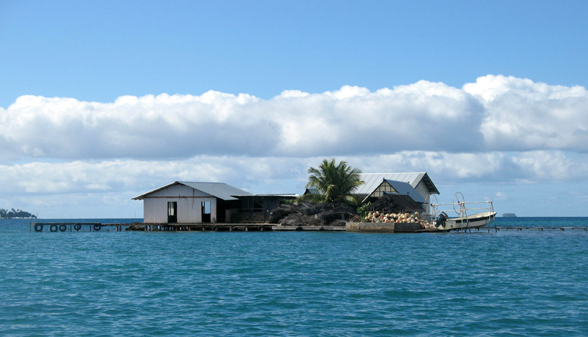
Maupiti is a small coral atoll with a volcanic island in its midst.
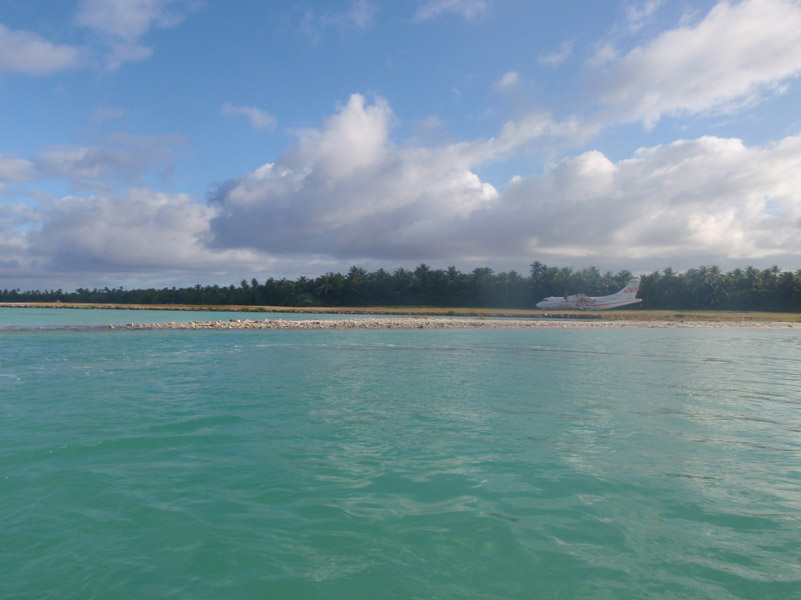
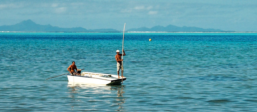
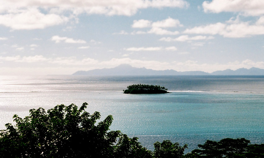
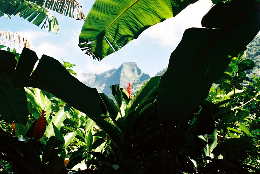
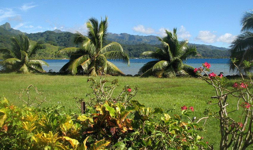
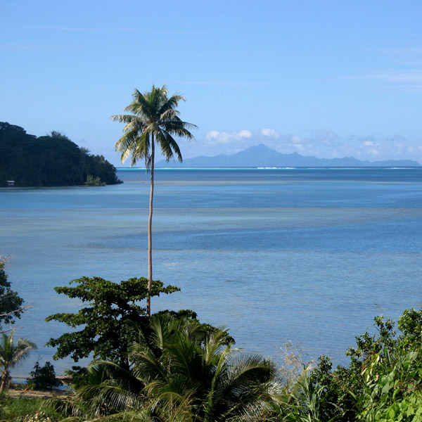
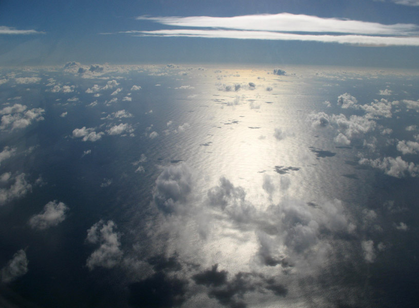
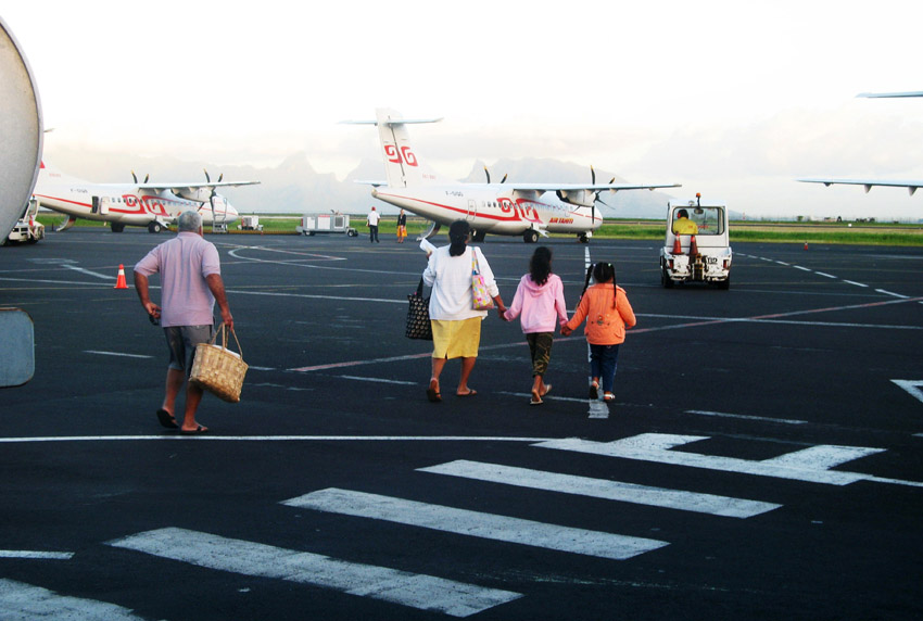
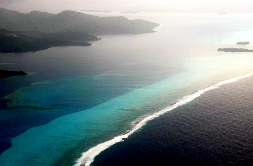
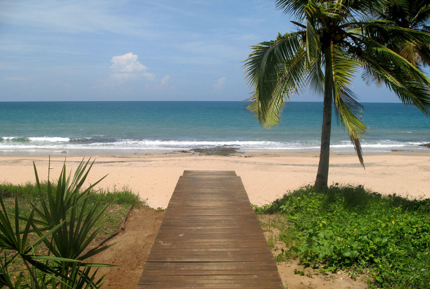
Maupiti is located to the west of the Leeward Islands in French Polynesia. It is the westernmost volcanic high island in the archipelago, 40 km west of Bora Bora. The central island of Maupiti has a high peak of 380 metres and a surface area of 11 square kilometers. The lagoon has large and flat coral islands in its northern reef half and two motus on both sides of the pass at its southern end.
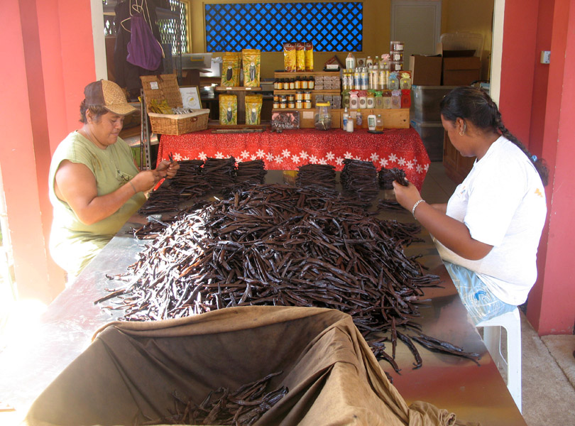
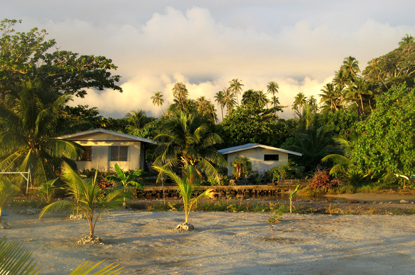
At the August 2007 census, the island population was about 1,200 people. The primary economic activity on Maupiti is Noni production.
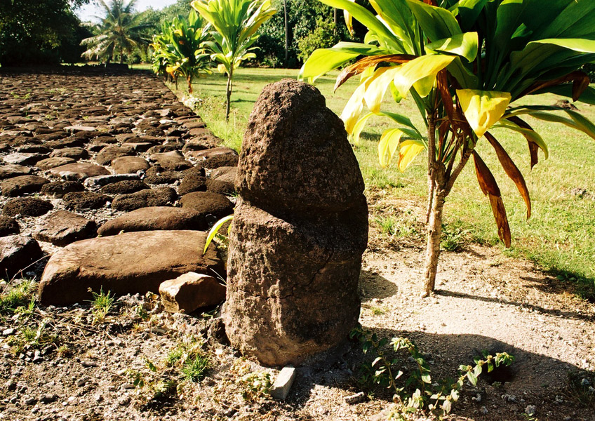
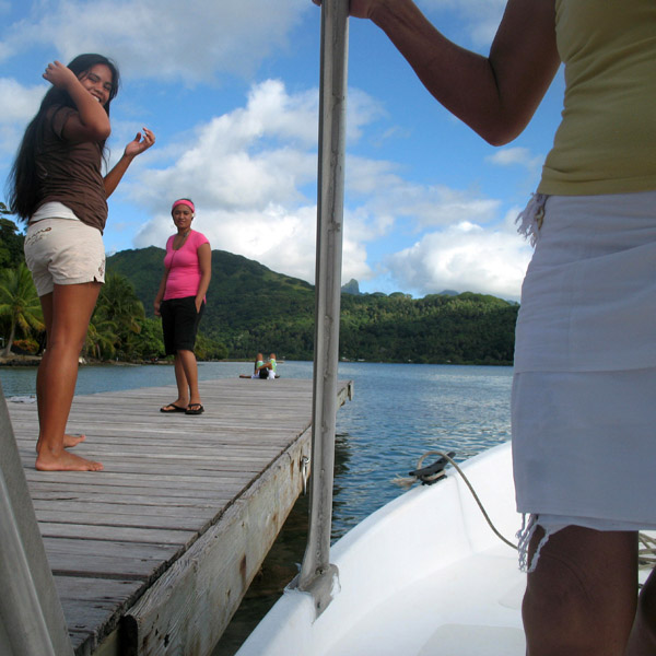
There are ancient Polynesian archaeological artefacts dating from at least AD 850 in Maupiti. The first European to arrive on the island was the Dutchman Jakob Roggeveen in 1722. Historically, the island has had strong cultural links with Bora Bora.

Somewhat smaller than Tahiti, Raiatea is the second largest of the Society Islands in French Polynesia. The proper spelling of the name, rarely used though, in the Tahitian language is Ra’iatea, meaning bright sky; Ulieta is an obsolete transcription commonly used in the 19th century. The chief town on Raiatea is Uturoa, administrative center for the Leeward Islands (French Îles Sous-le-vent). The islands of Raiatea and Tahaa are both enclosed by the same coral reef, and may once have been a single island.
Raiatea is both the largest and most populated island in the Leeward Islands, with a land area of 167.7 km² (64.7 sq. miles) and a total population of 12,024 inhabitants at the August 2007 census. The population density is 72 inhabitants per km². Ra’iatea is widely regarded as the ‘center’ of Polynesia and it is likely that the organised migrations to Hawaii, Aoteroa (New Zealand) and other parts of East Polynesia started at Ra’iatea. A traditional name for the island is Havai’i fanau fenua (Hawai’i birther of land).
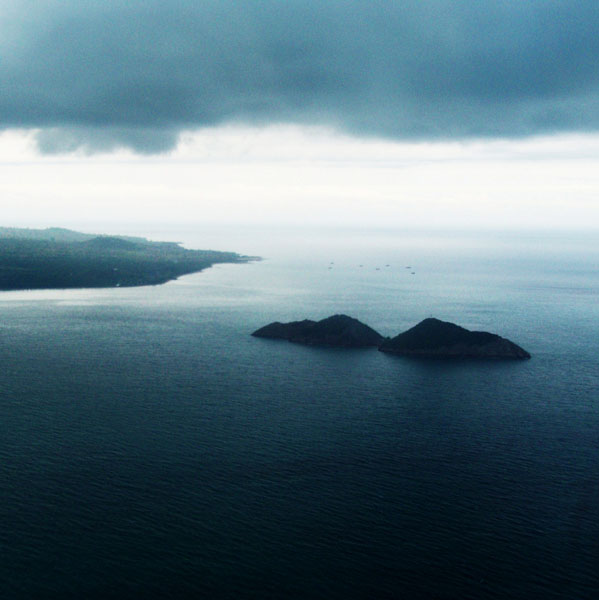
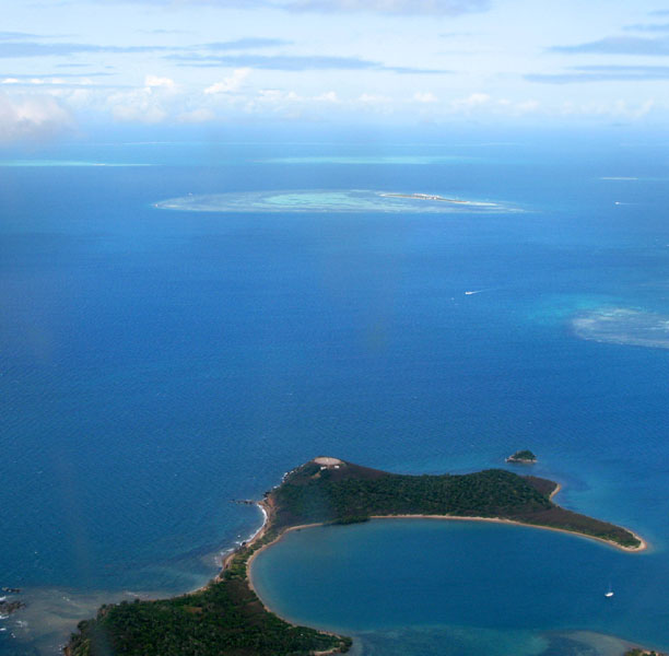
Alphonse Atoll is one of two atolls of the Alphonse Group, and located 87 km south of the Amirante Islands, and just three kilometers north of St. François Atoll, the second atoll of Alphonse Group. The atoll has just one island, Alphonse Island, with a population of fewer than 300. It was discovered on 28 January 1730 by Chevalier Alphonse de Pontevez, commanding the French frigate Le Lys. A luxury hotel has been build on Alphonse Island, generating frequent traffic between other islands in the group. The area of the island is 1.74 km². The total area of the atoll, with more than 3 km in diameter, is about 8 km², including reef flat and lagoon.
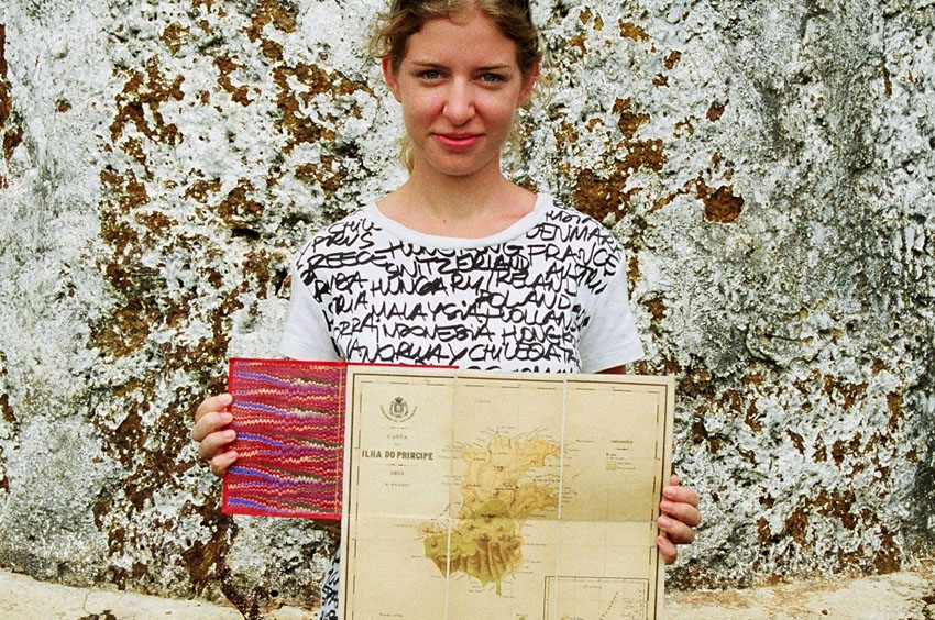
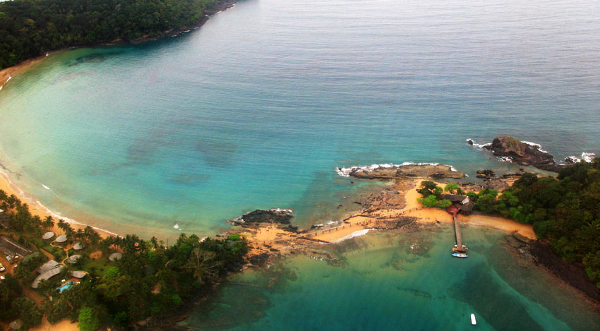
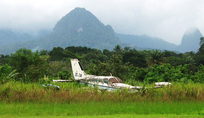


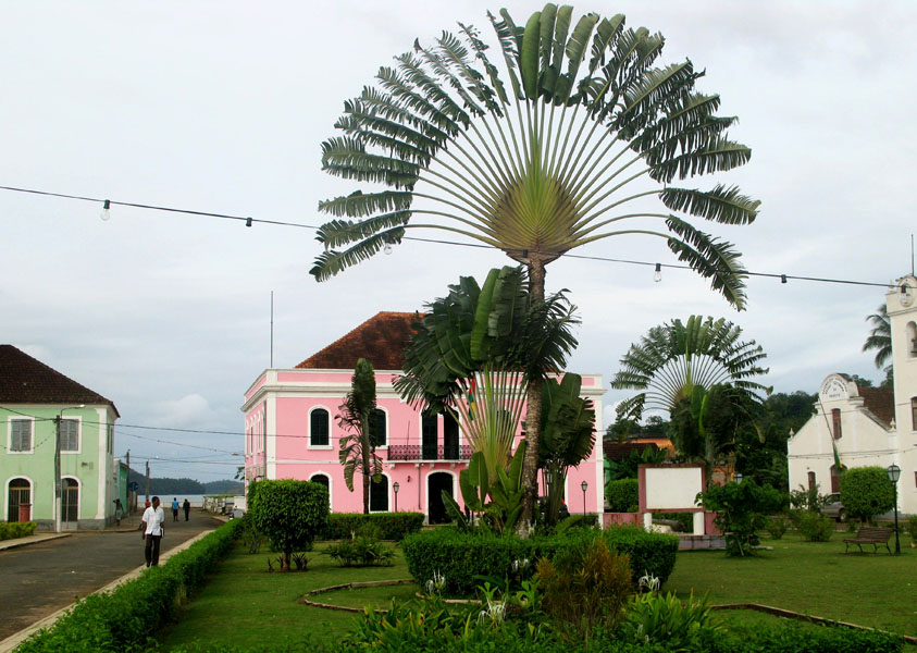
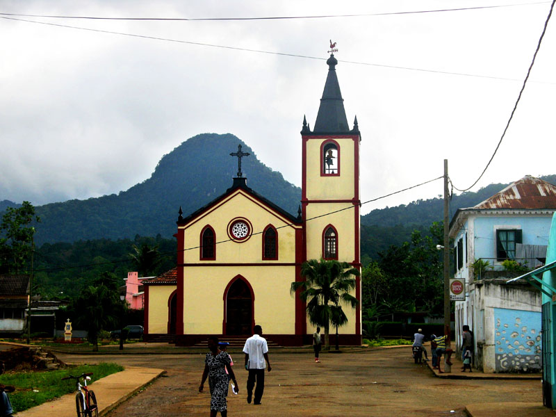

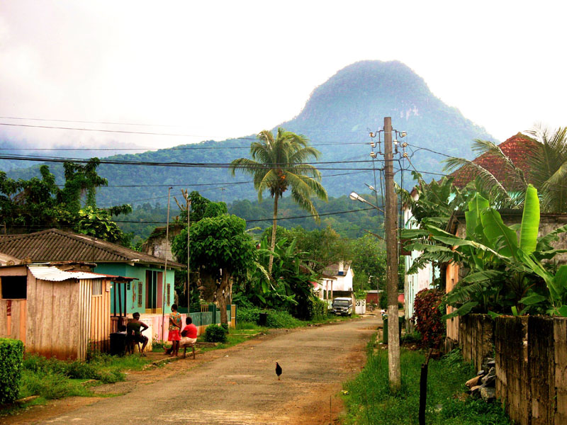
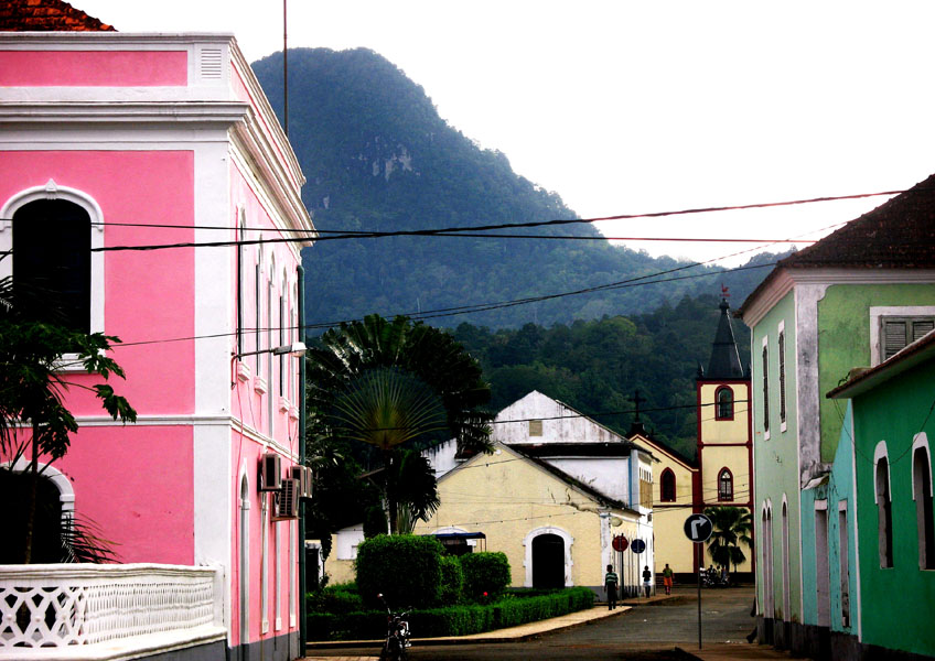
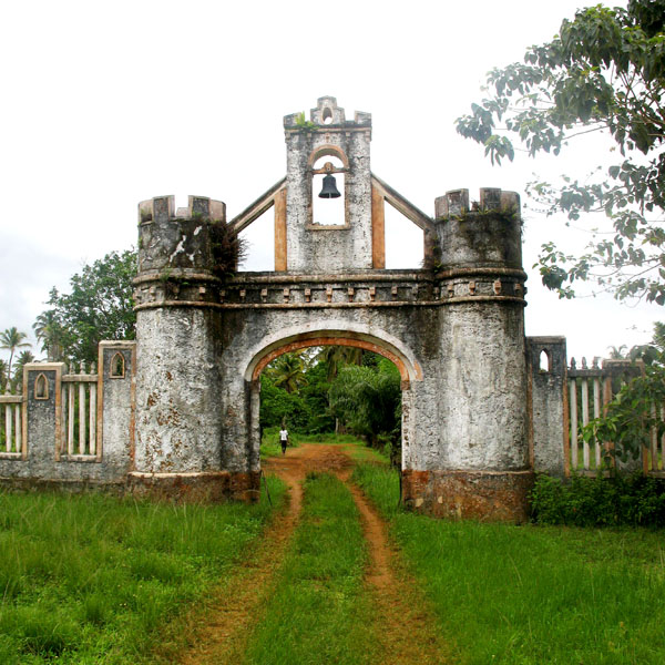
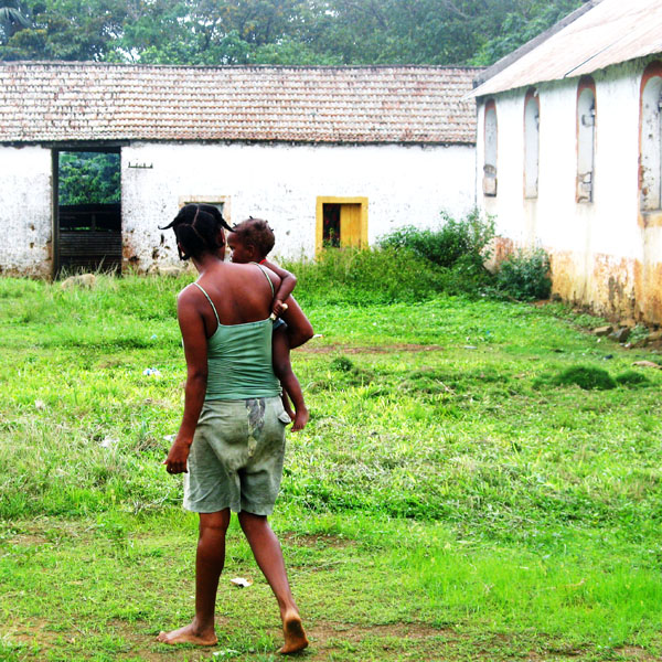
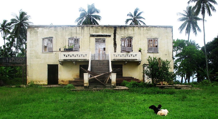


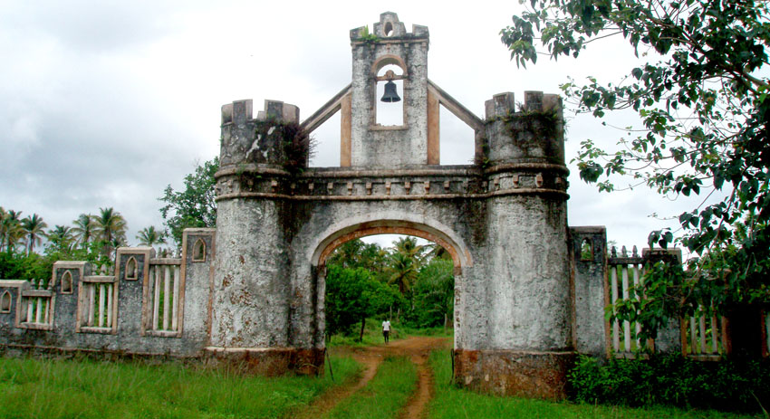
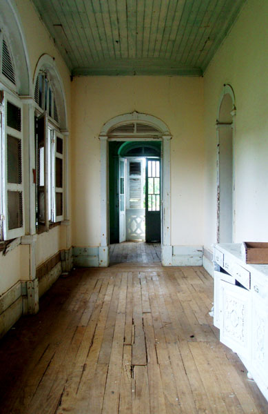
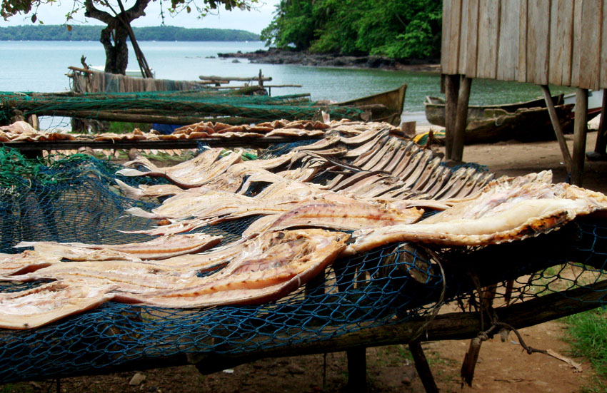
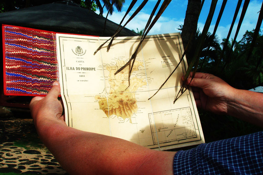

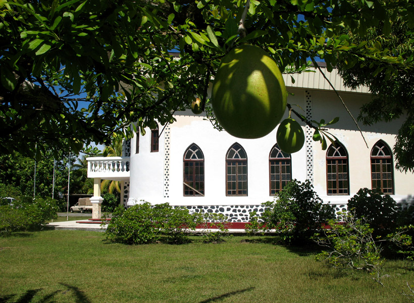
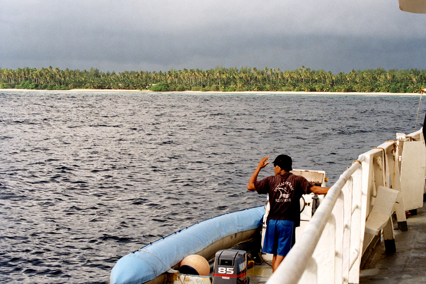
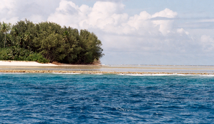
Príncipe is the smaller of the two major islands of São Tomé and Príncipe lying off the west coast of Africa. It has an area of 136 km² and a population of around 5,000 people. It rises in the south to 948 metres at Pico de Príncipe, in a thickly forested area forming part of the Obo National Park. The north and centre of the island were formerly plantations but largely reverted to forest. The island forms one province and one district named Pagué. The languages other than Portuguese includes Principense or Lunguyê with a few Forro speakers.
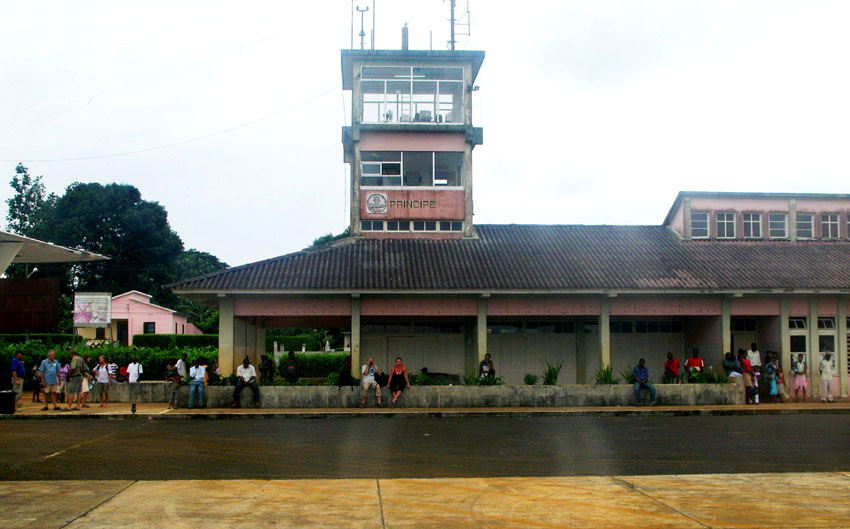
The island has one town, Santo António, and an airport (IATA code: PCP, ICAO: FPPR?), as well as some small villages including Bela Vista, Bombom, Futuro, Neves Ferreira, Paciencia, Ponta Fonte, Ribeira Ize, Santo Antonio de Ureca, Vila Rosa and more – few connected to the small road network.
The island is a heavily eroded volcano over three million years old, surrounded by other smaller islands including Ilheu Bom Bom, Ilhéu Caroço, Tinhosa Grande and Tinhosa Pequena.
Príncipe was the site where Einstein’s Theory of Relativity was experimentally proved successful by Arthur Stanley Eddington and his team during an eclipse in 1919.
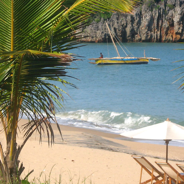
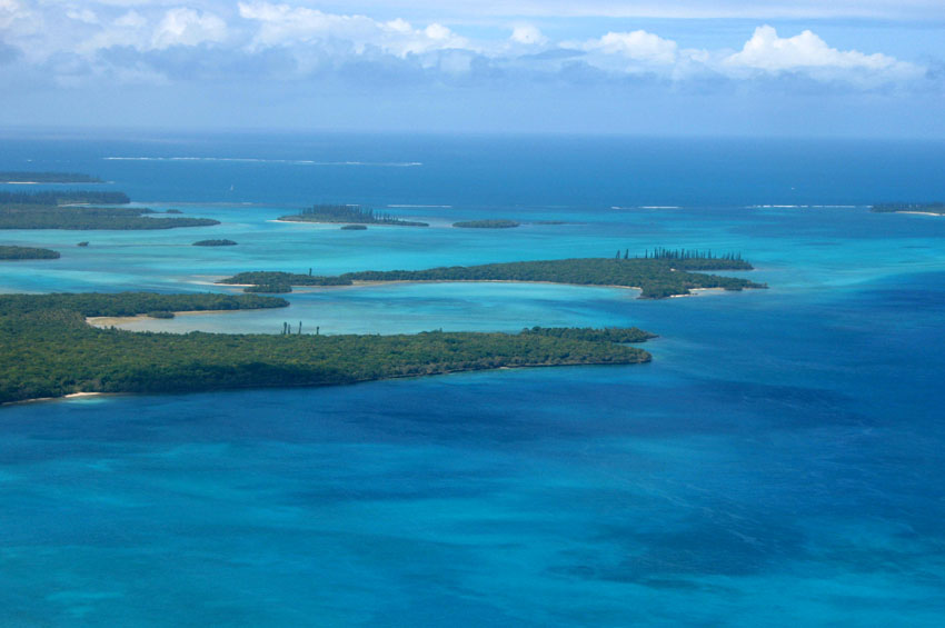

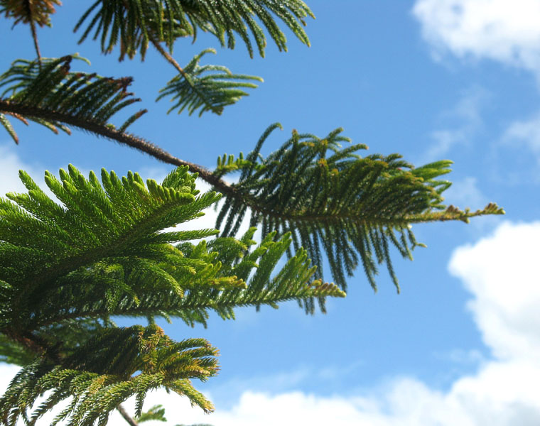
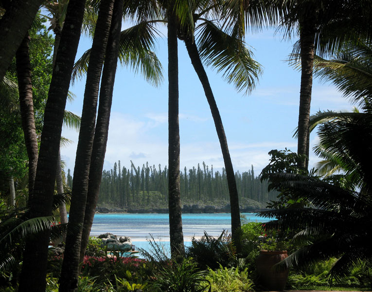
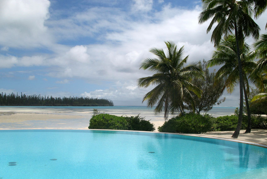
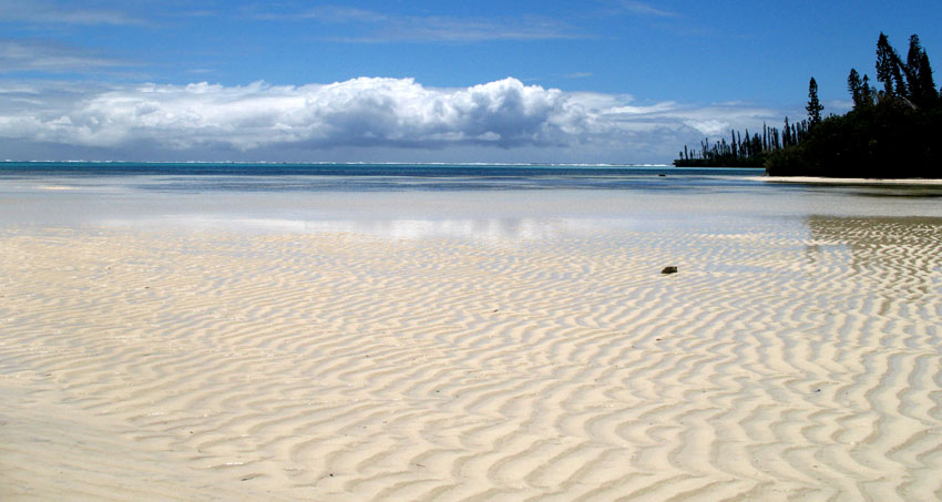
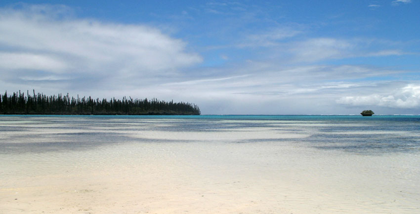
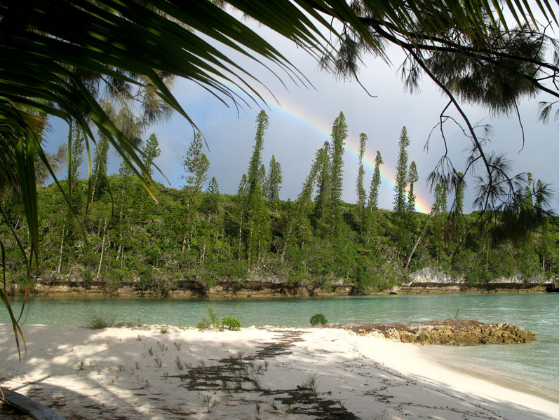
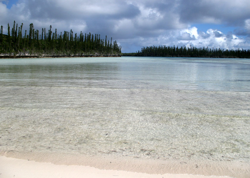
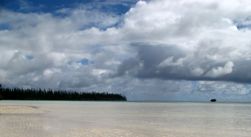
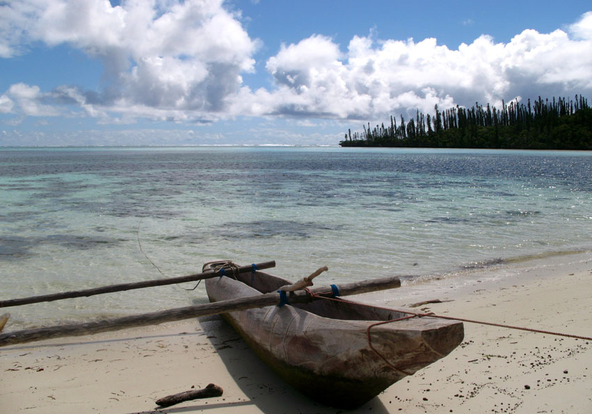
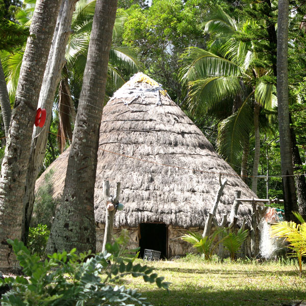
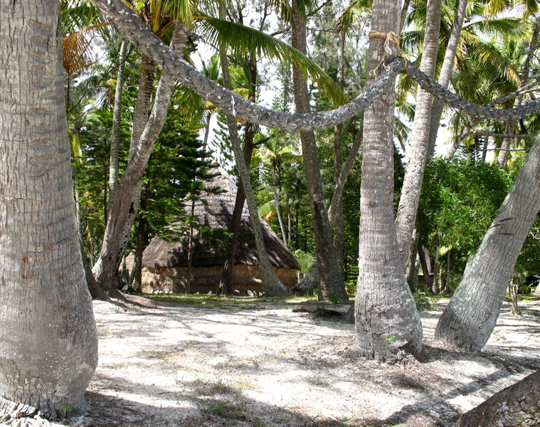
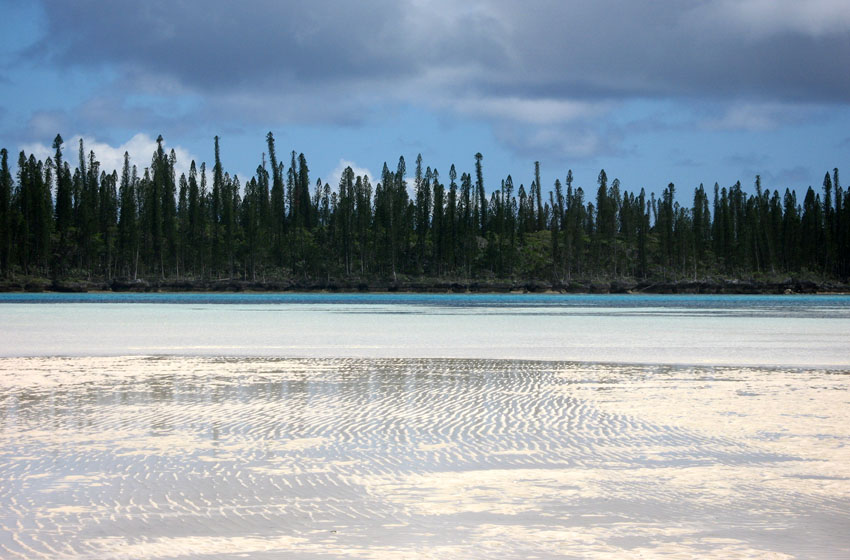
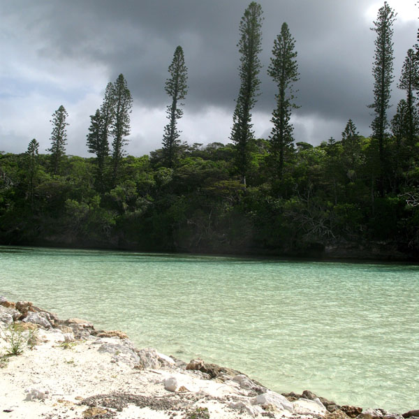
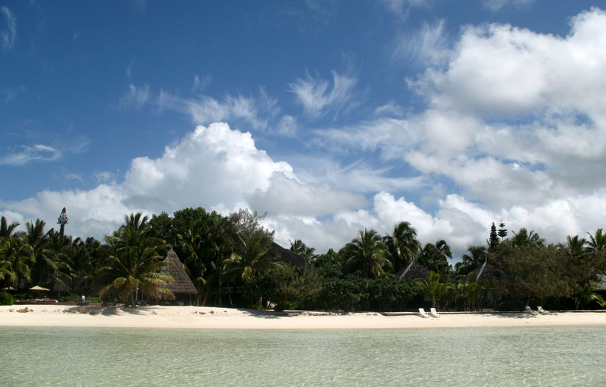
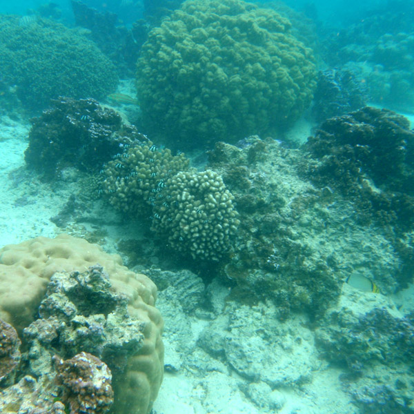
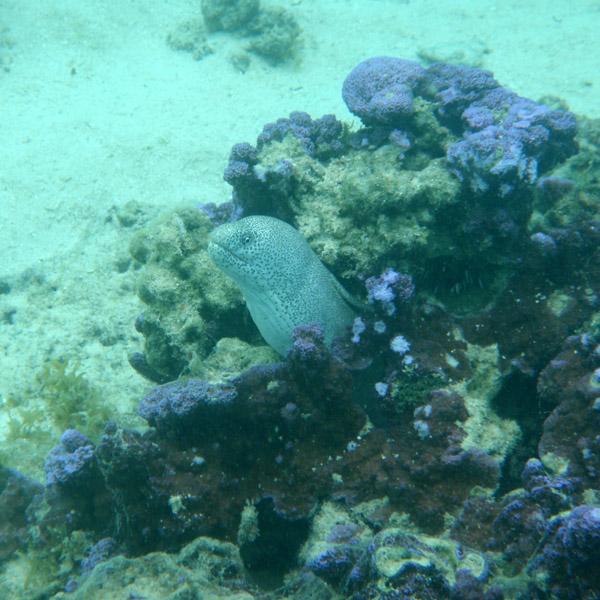
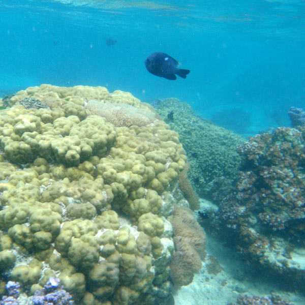
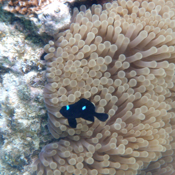
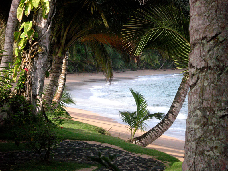
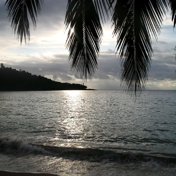
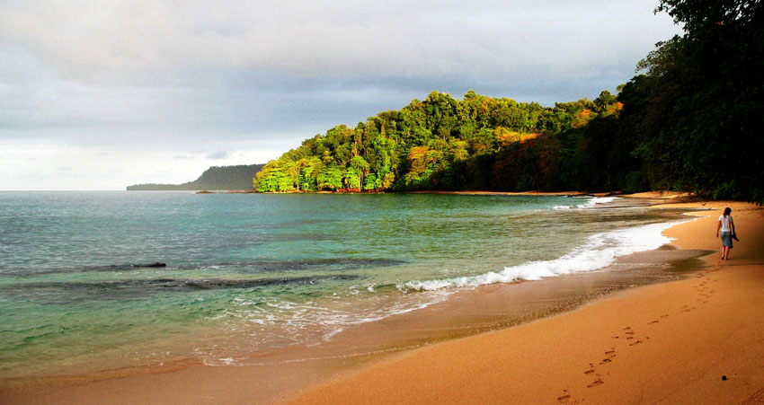
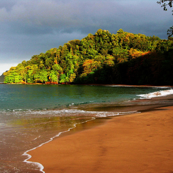
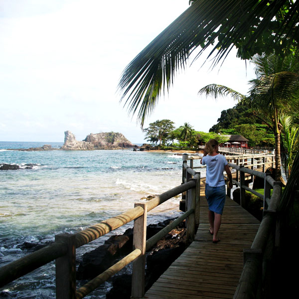
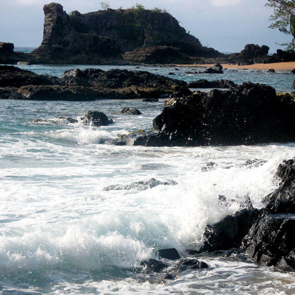
The Isle of Pines (French: Île des Pins; Kanak name: Kunyié) is an island located in the Pacific Ocean, in the archipelago of New Caledonia, an overseas territory of France. The island is part of the commune (municipality) of L’Île-des-Pins, in the South Province of New Caledonia. The Isle of Pines is often nicknamed l’île la plus proche du paradis (“the closest island to Paradise”) and is famous for snorkeling and scuba diving in and around its colorful lagoon. Many species of tropical fish and corals can be seen in the transparent water.
The island is located around 22°37′S 167°29′E and measures 15 km (9 miles) by 13 km (8 miles). It lies southeast of Grande Terre, New Caledonia’s main island and is approximately 100 kilometres south-east of the capital Noumea. There is one airport (code ILP) with a 1,097-meter (3,600 ft) runway. The Isle of Pines is surrounded by the New Caledonia Barrier Reef.
The inhabitants of the island are mainly native Melanesian Kanaks and the population is approximately 2,000 (estimated 2006).
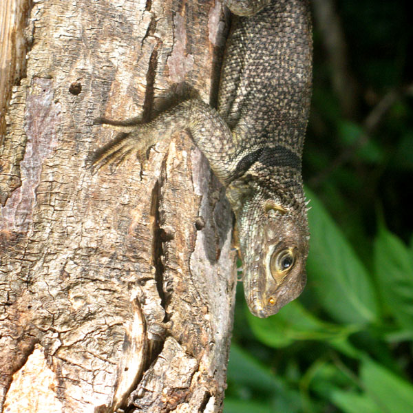
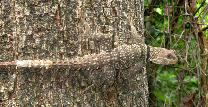
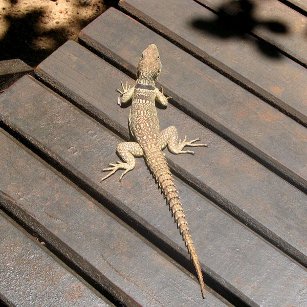
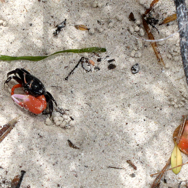
The island is rich with animal life and is home to many unique creatures such as the Crested Gecko Rhacodactylus ciliatus and the world’s largest gecko Rhacodactylus leachianus.
The pic Nga is the island’s highest point, at 262 meters (860 ft) elevation.
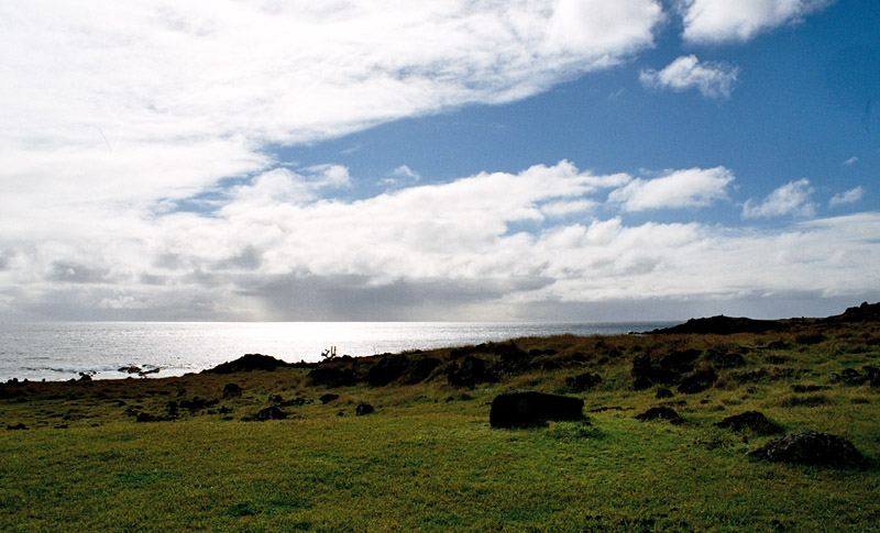
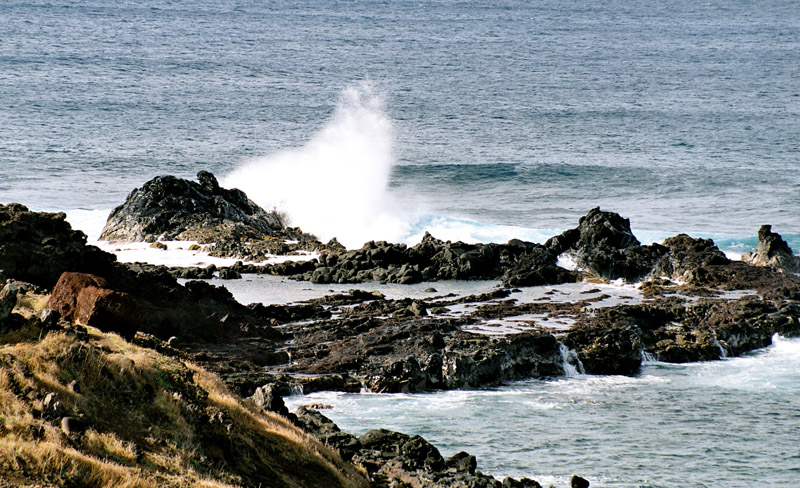
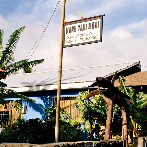
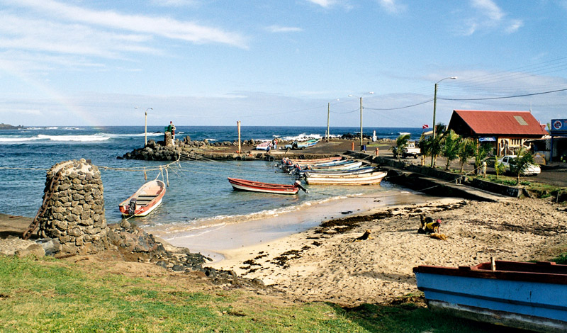
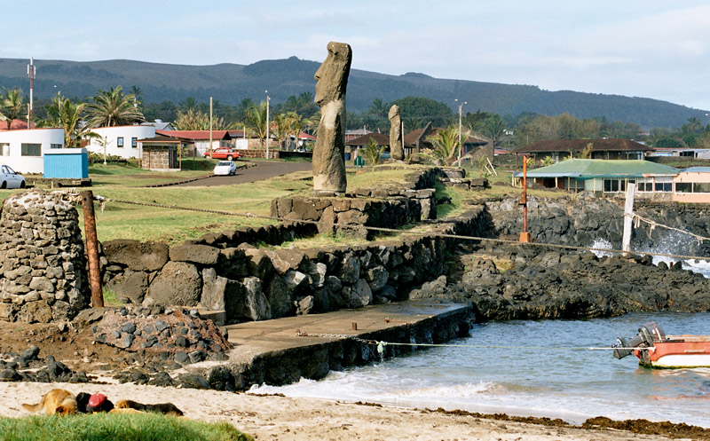
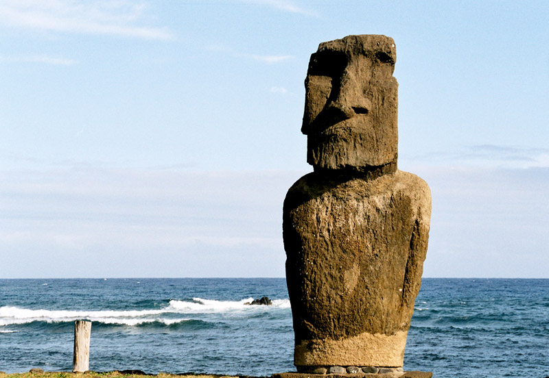
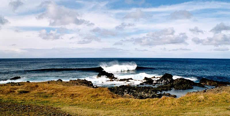
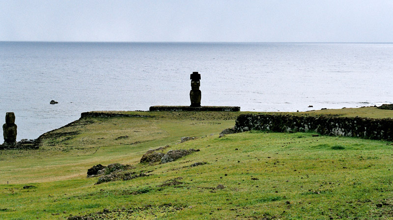
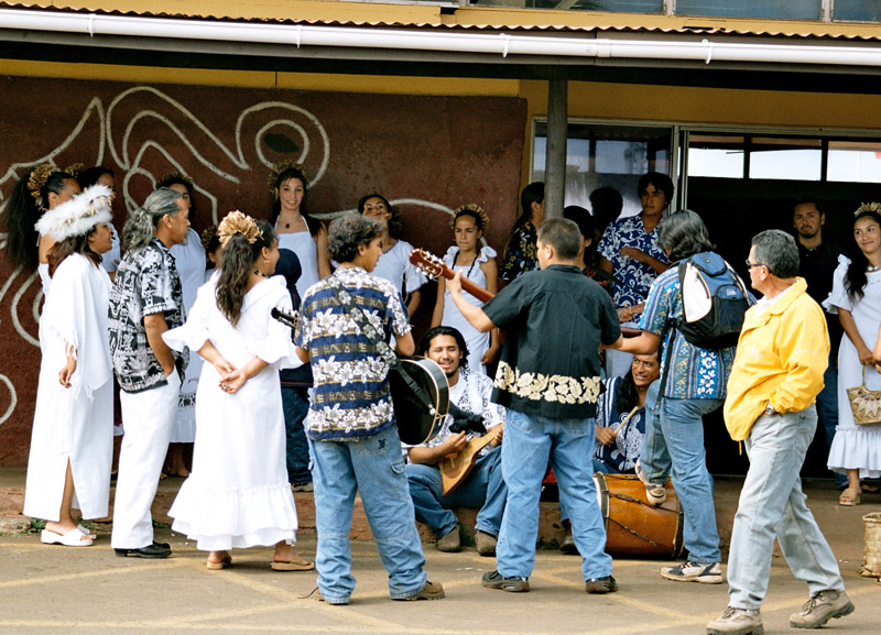
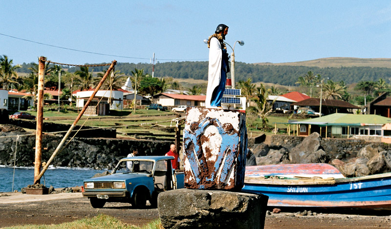
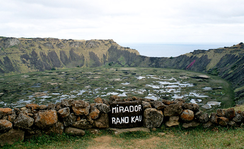
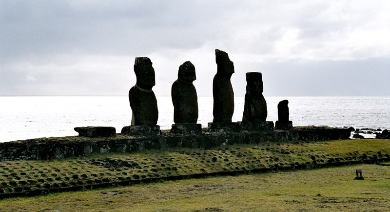
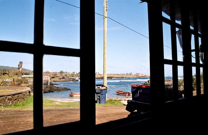
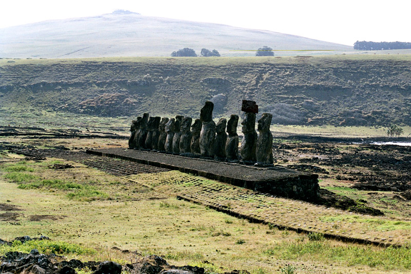
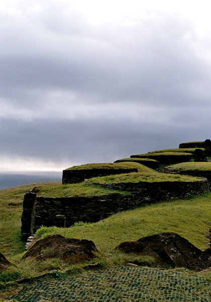
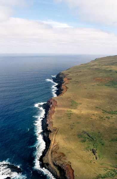
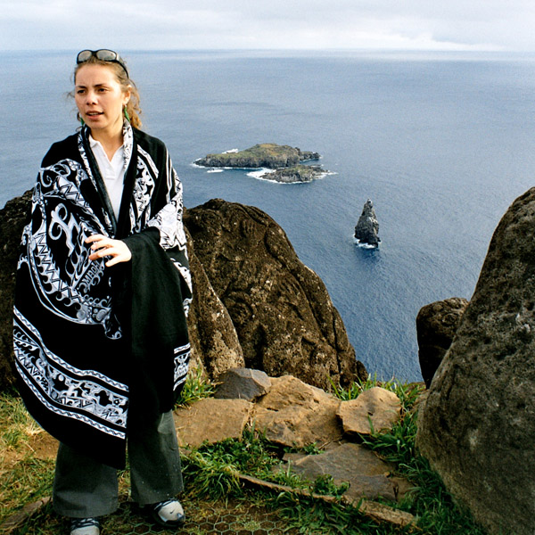
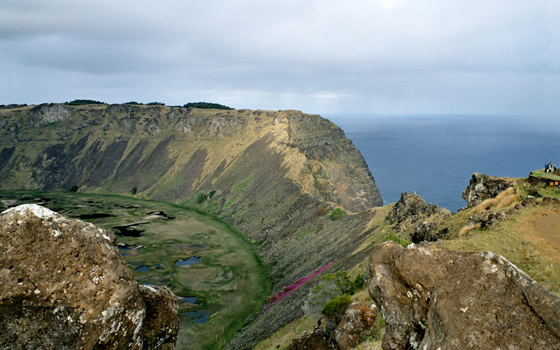
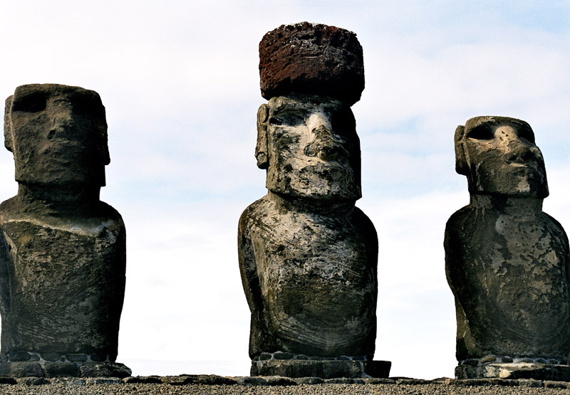
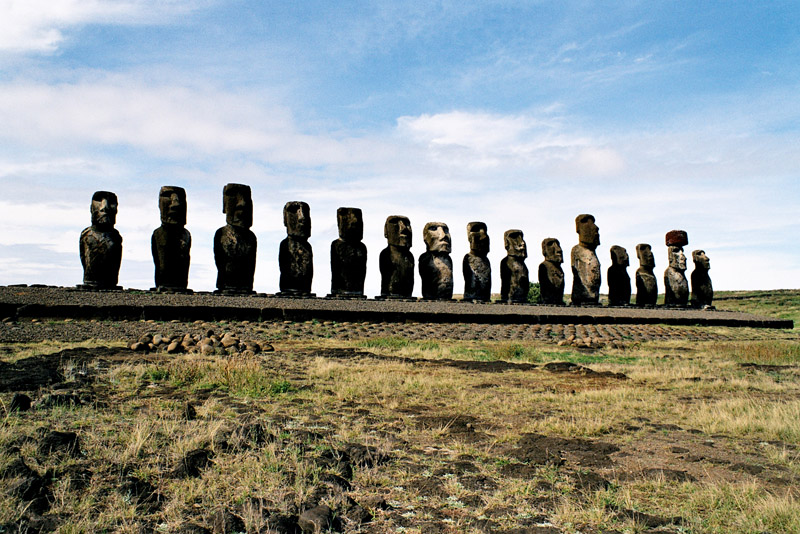
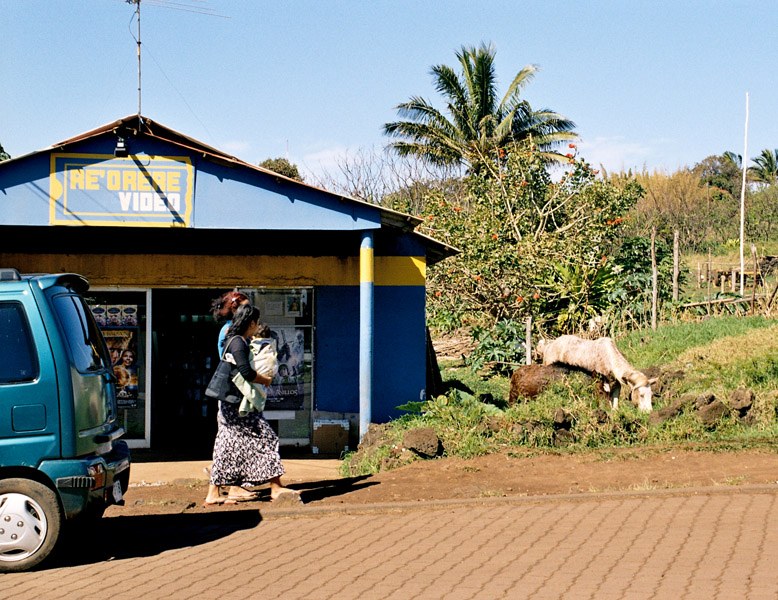
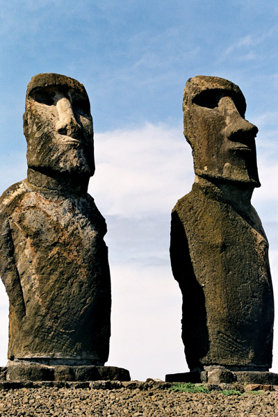
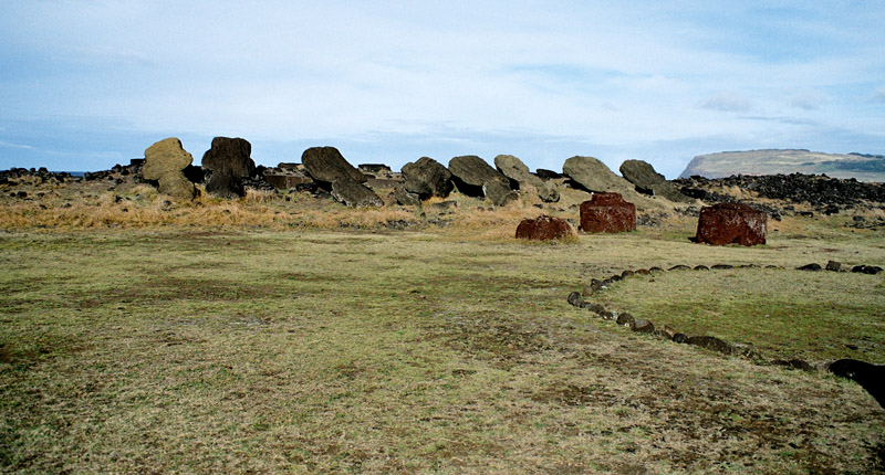
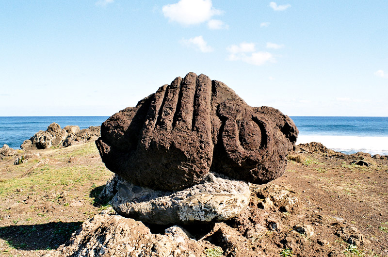
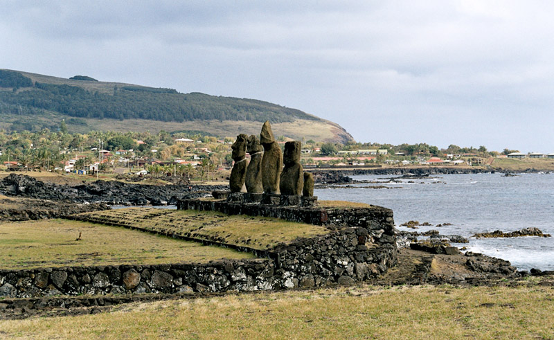
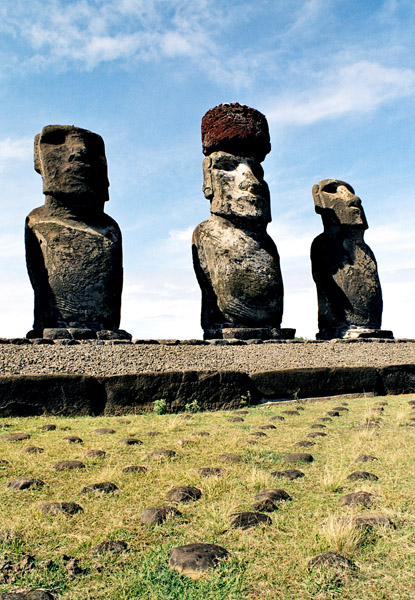
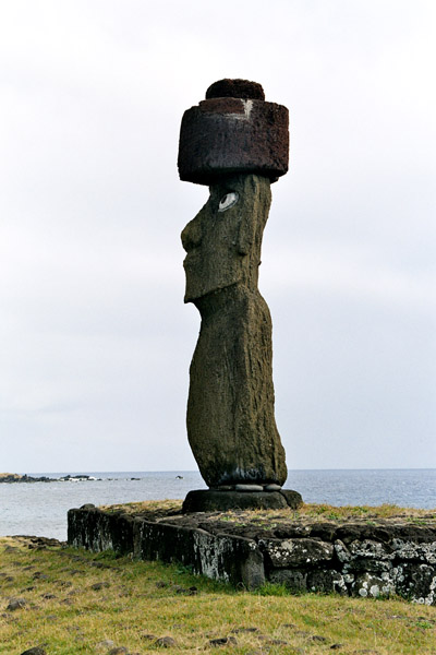
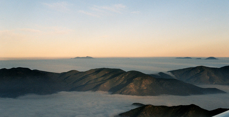
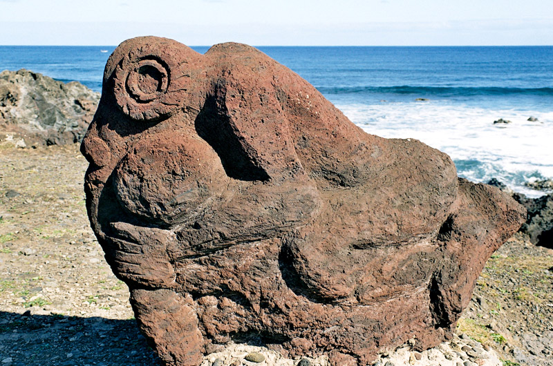
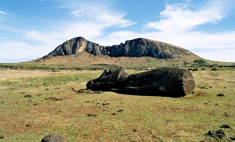
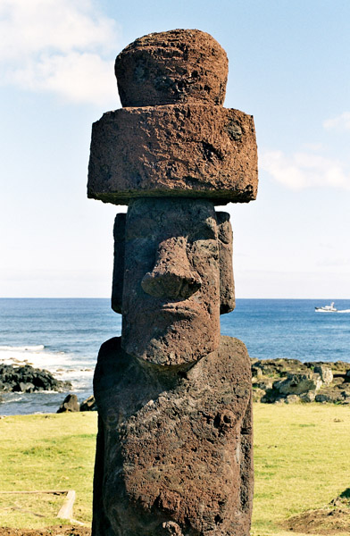
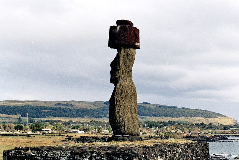
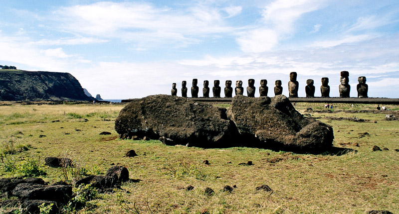
Easter Island (Rapa Nui: Rapa Nui); (Spanish: Isla de Pascua) is a Polynesian island in the southeastern Pacific Ocean, at the southeastern most point of the Polynesian triangle. A special territory of Chile annexed in 1888, Easter Island is widely famous for its 887 extant monumental statues, called moai (pronounced /ˈmoʊ.аɪ/), created by the early Rapanui people. It is a world heritage site with much of the island protected within the Rapa Nui National Park. Historically the island has experienced a collapse of its ecosystem, with extinction of many of its prehistoric species; these events were associated with over-exploitation of the island’s resources. The underlying island geology is one of extinct volcanoes.
The history of Easter Island is rich and controversial. Its inhabitants have endured famines, epidemics, civil war, slave raids and colonialism, and the crash of their ecosystem; their population has declined precipitously more than once. They have left a cultural legacy that has brought them fame disproportionate to their population.