Categories
New Caledonia

New Caledonia

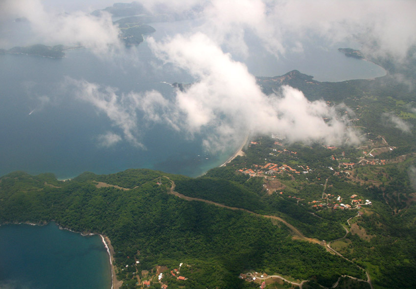
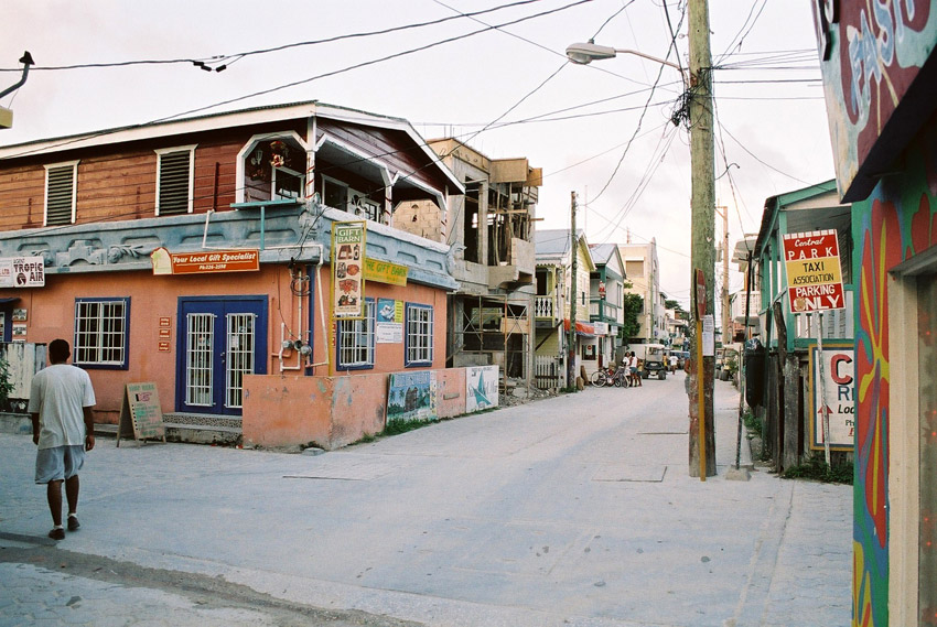
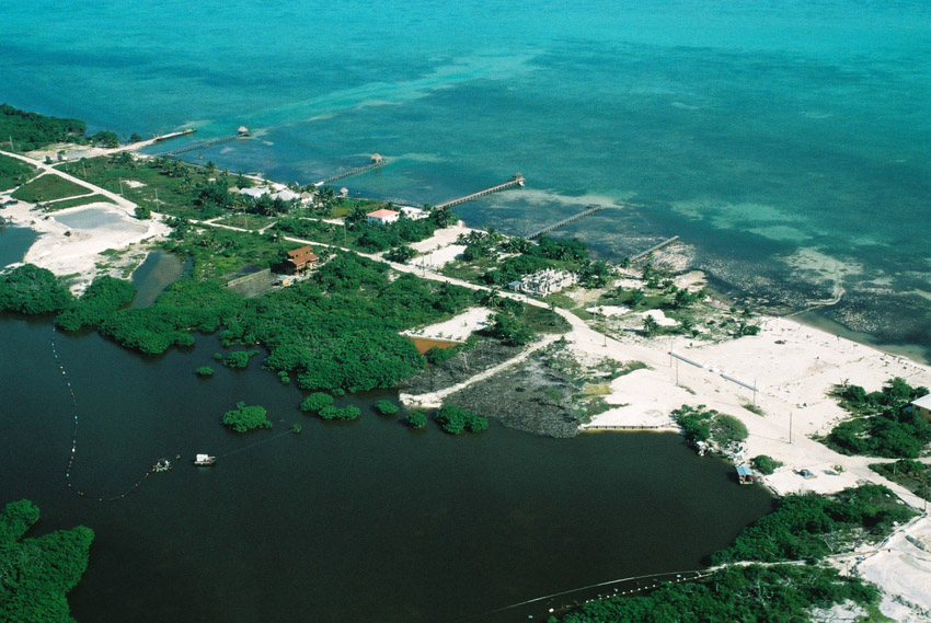
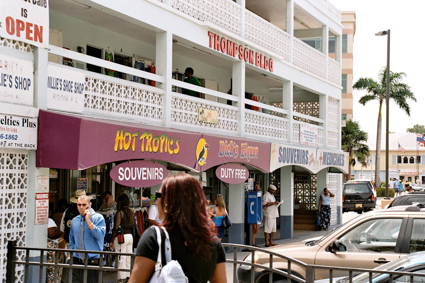
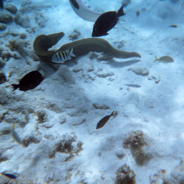
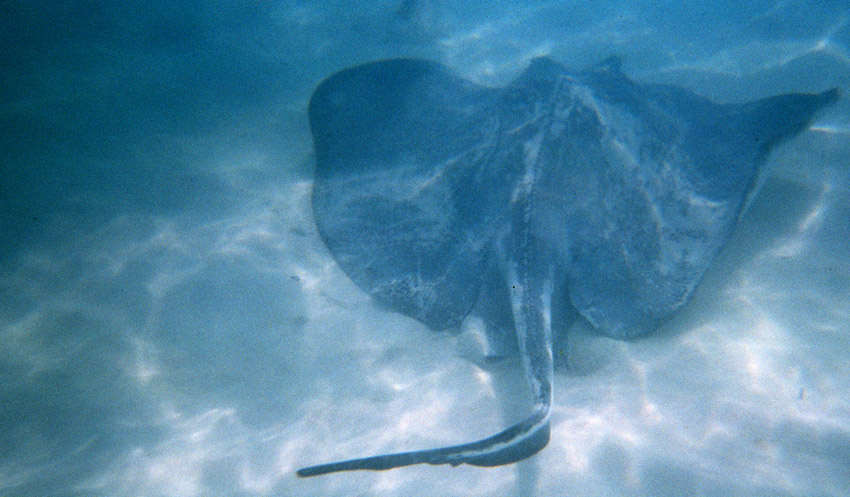
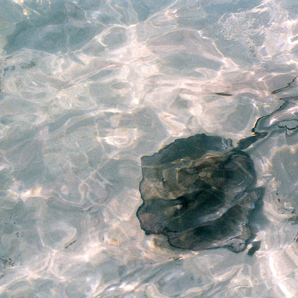
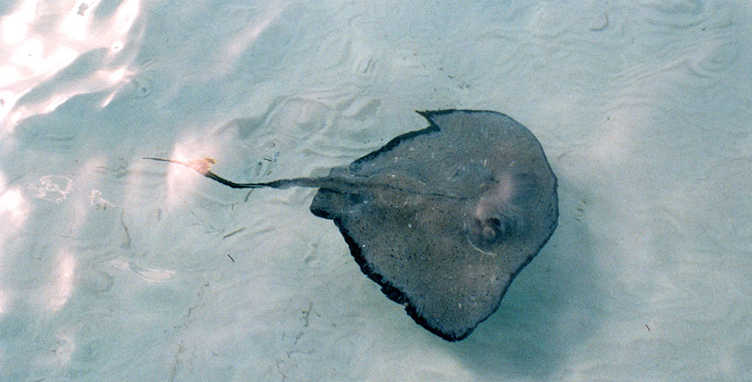
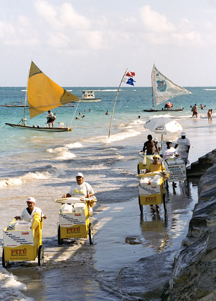
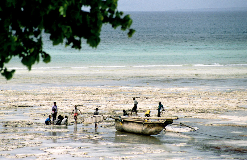
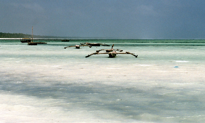
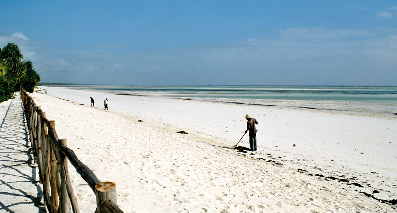
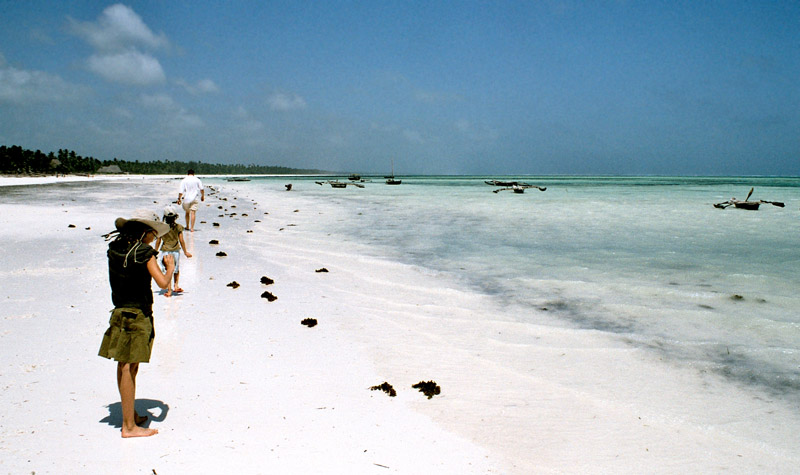
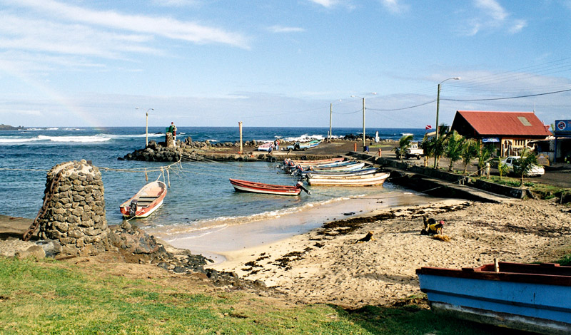
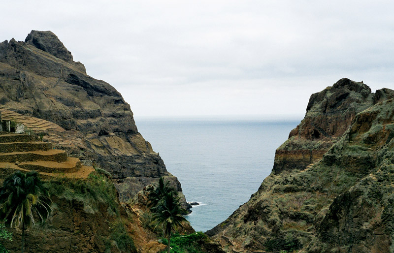
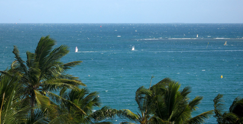
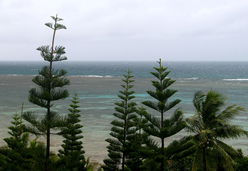
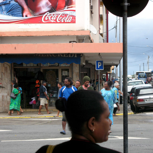
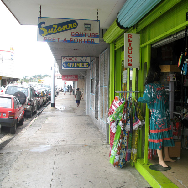
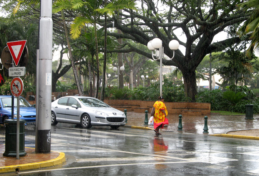
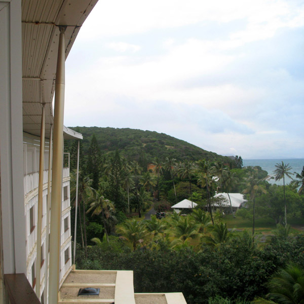
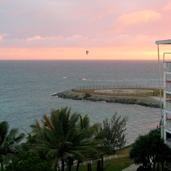
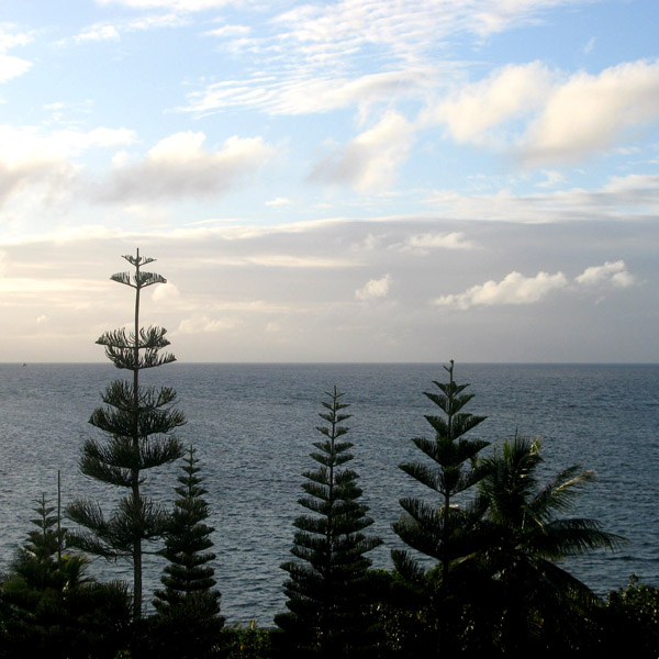
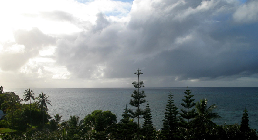
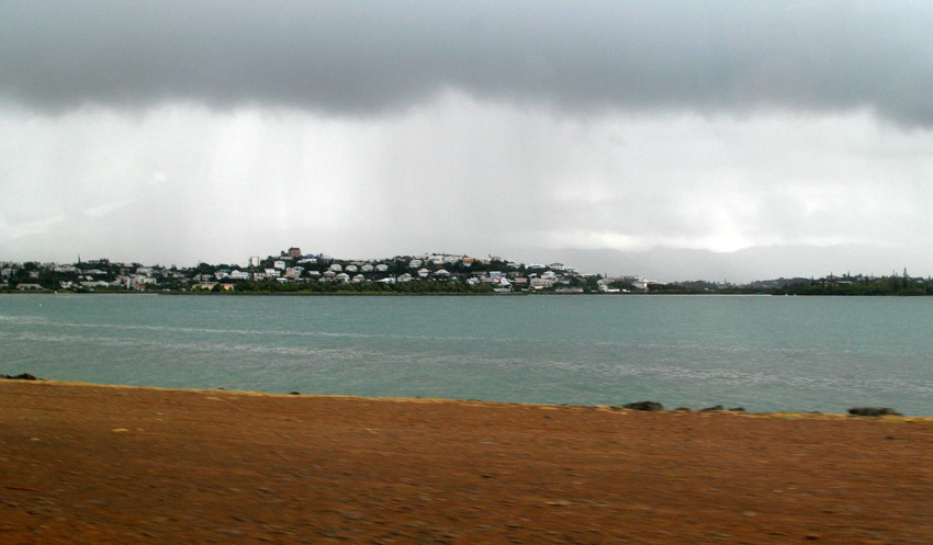
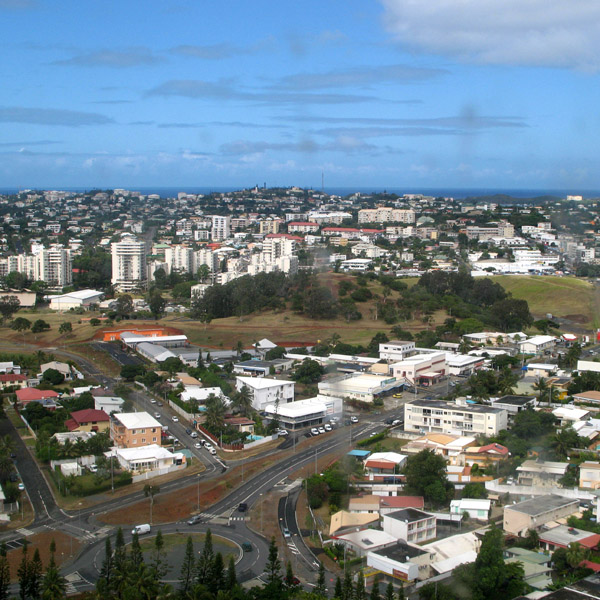
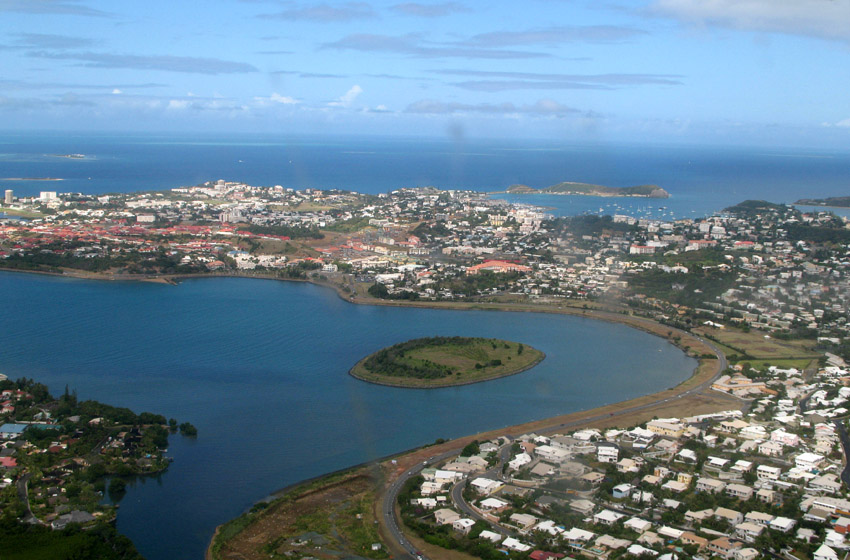
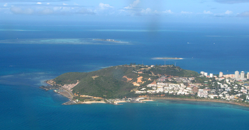
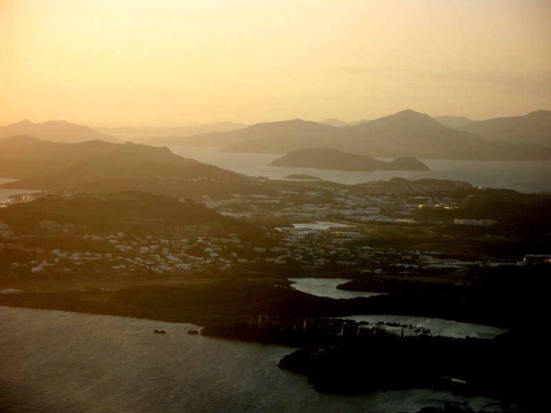
New Caledonia (French: officially: Nouvelle-Calédonie; colloquially: (la) Calédonie; popular nicknames: (la) Kanaky, (le) Caillou), is a “sui generis collectivity” of France located in the region of Melanesia in the southwest Pacific. It comprises a main island (Grande Terre), the Loyalty Islands, and several smaller islands. Approximately half the size of Taiwan, it has a land area of 18,575.5 square kilometres (7,172 sq mi). The population was estimated in January 2008 to be 244,410. The capital and largest city of the territory is Nouméa. The currency is the CFP franc.

Since 1986 the United Nations Committee on Decolonization has included New Caledonia on the United Nations list of Non-Self-Governing Territories. New Caledonia is set to decide whether to remain within the French Republic or become an independent state in a referendum to be held between 2014 and 2019.

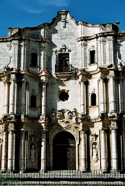
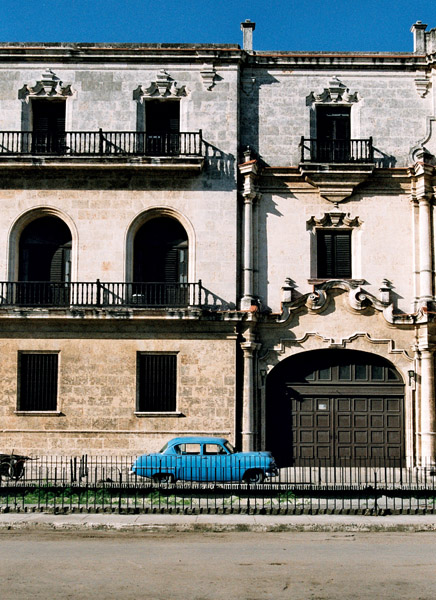
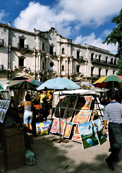
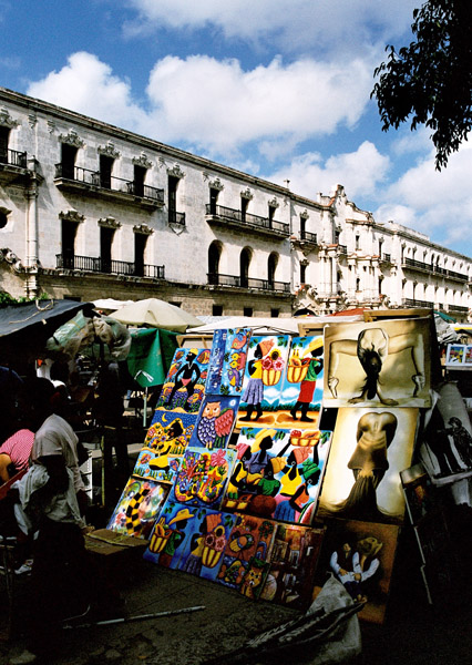
Nouméa, the capital, is also the seat of the Secretariat of the Pacific Community (formerly the South Pacific Commission), an international organization.

Source: Wikipedia (under GNU Free Documentation License)

Categories
Costa Rica

Costa Rica

Costa Rica, officially the Republic of Costa Rica (Spanish: Costa Rica or República de Costa Rica, pronounced [reˈpuβlika ðe ˈkosta ˈrika]) is a country in Central America, bordered by Nicaragua to the north, Panama to the east and south, the Pacific Ocean to the west and south and the Caribbean Sea to the east.

Costa Rica, which translates literally as “Rich Coast”, was the first country in the world to constitutionally abolish its army. Costa Rica has consistently been among the top Latin American countries in the Human Development Index, ranking 50th in 2006. The country is ranked 5th in the world, and 1st among the Americas, in terms of the 2008 Environmental Performance Index. In 2007 the Costa Rican government announced plans for Costa Rica to become the first carbon neutral country by 2021. According to the New Economics Foundation, Costa Rica ranks first in the Happy Planet Index and is the greenest country in the world. The HPI measures how much of the Earth’s resources nations use and how long and happy a life their citizens enjoy as a result.

Source: Wikipedia (under GNU Free Documentation License)

Categories
Belize

Ambergris Caye

Ambergris Caye, pronounced “am-BER-gis”, is the largest island of Belize located northeast of the country in the Caribbean Sea. Though administered as part of the Belize District, the closest point on the mainland is part of the Corozal District. The Caye (pronounced as “key”, meaning an island, derived from Spanish: cayo) is about 40 kilometres (25 mi) long from north to south, and about 1.6 kilometres (1 mi) wide. It was named after large lumps of ambergris which washed ashore here.

The Belizean island, where it has not been modified by man, is mostly a ring of white sand beach around mangrove swamp in the centre.

A Maya community lived on the island in Pre-Columbian times, and made distinctive polished red ceramics, most notably small well molded figurines of animals.

San Pedro Town is the largest settlement and only town on Ambergris. There are also a number of small villages and resorts. Captain Morgan’s and Mata Chica resorts north of San Pedro played host to the first season of Fox’s Temptation Island in 2000, aired in 2001. More recently, the availability of skydiving during the winter has become a draw for tourists so inclined.

Tourism development of Ambergris Caye began in the early 1970s and grew considerably in the later years of the 20th century. The main attractions are the Belize Barrier Reef and its beaches. That barrier reef is the second largest in the world, after the Great Barrier Reef of Australia. The caye has a small airstrip serviced by Tropic Air and Maya Island Air, and can be reached by plane from Belize City as well as by numerous fast sea ferries.

Source: Wikipedia (under GNU Free Documentation License)

Categories
Cayman Islands

Grand Cayman

Grand Cayman is the largest of the three Cayman Islands at about 196 km² and contains the capital George Town. Towns on the island are referred to as “districts”. The island is a high-lying reef of “ironshore” (limestone fringes with numerous marine fossils), with a highest elevation of roughly 24 metres above sea level. There is no natural fresh water (lakes, rivers, etc) on the island, so any fresh water needs must be met by catchments or desalination of seawater. The lack of rivers does however account for the exceptional clarity of the sea.

The island was devastated by Hurricane Ivan in 2004 from September 11 to September 12. With Category 5 strength, Ivan passed within 30 miles (48 km) of Grand Cayman, hitting it with winds over 180 mph (290 km/h) and gusts up to 200 mph (320 km/h). The island reported no more than a few deaths – none directly caused by the hurricane – but over 80% of the buildings were either damaged or completely destroyed. Ivan was the worst hurricane to hit the island in 86 years.

The eastern side of the island is somewhat undeveloped, while the western side of the island, which holds George Town and the airport, Owen Roberts International Airport, is more developed. Fast food restaurants, night clubs and resorts can be found on the western side of the island. The eastern districts offer more restaurants specialising in native Caymanian cuisine.

Source: Wikipedia (under GNU Free Documentation License)

Categories
Brazil

Porto de Galinhas

Porto de Galinhas is a beach in the municipality of Ipojuca, Pernambuco, Brazil. Porto de Galinhas is a major tourist destination. The beach is famous for its bright-water beaches and the natural pools. It is part of the municipality of Ipojuca, and located 60 kilometers (37 miles) south of the state capital, Recife.

It has been voted “Best Brazilian Beach” for the eighth time in a row by the readers of Voyage & Tourism Brazilian magazine. According to this magazine, the main reasons given are the beauty of the natural pools (the closest to the coast in all of Brazil, the ecological trails, the hotel infrastructure and the proximity to a large city and airport in Recife.

Source: Wikipedia (under GNU Free Documentation License)

Categories
Tanzania

Zanzibar I

Zanzibar (pronounced /ˈzænzɨbɑr/) is a semi-autonomous part of the United Republic of Tanzania, in East Africa. It comprises the Zanzibar Archipelago in the Indian Ocean, 25–50 kilometres (16–31 mi) off the coast of the mainland, and consists of numerous small islands and two large ones: Unguja (the main island, informally referred to as Zanzibar), and Pemba. Zanzibar was once a separate state with a long trading history within the Arab world; it united with Tanganyika to form Tanzania in 1964 and still enjoys a high degree of autonomy within the union. The capital of Zanzibar, located on the island of Unguja, is Zanzibar City, and its historic center, known as Stone Town, is a World Heritage Site.

Zanzibar’s main industries are spices, raffia, and tourism. In particular, the islands produce cloves, nutmeg, cinnamon and pepper. For this reason, the islands, together with Tanzania’s Mafia Island, are sometimes called the Spice Islands (a term also associated with the Maluku Islands in Indonesia). Zanzibar’s ecology is of note for being the home of the endemic Zanzibar Red Colobus and the (possibly extinct) Zanzibar Leopard.

Source: Wikipedia (under GNU Free Documentation License)

Categories
Chile

Easter Island

Easter Island (Rapa Nui: Rapa Nui); (Spanish: Isla de Pascua) is a Polynesian island in the southeastern Pacific Ocean, at the southeastern most point of the Polynesian triangle. A special territory of Chile annexed in 1888, Easter Island is widely famous for its 887 extant monumental statues, called moai (pronounced /ˈmoʊ.аɪ/), created by the early Rapanui people. It is a world heritage site with much of the island protected within the Rapa Nui National Park. Historically the island has experienced a collapse of its ecosystem, with extinction of many of its prehistoric species; these events were associated with over-exploitation of the island’s resources. The underlying island geology is one of extinct volcanoes.

The history of Easter Island is rich and controversial. Its inhabitants have endured famines, epidemics, civil war, slave raids and colonialism, and the crash of their ecosystem; their population has declined precipitously more than once. They have left a cultural legacy that has brought them fame disproportionate to their population.

Source: Wikipedia (under GNU Free Documentation License)

Categories
Cuba

Cuba

The Republic of Cuba (Spanish: República de Cuba) is an island country in the Caribbean. It consists of the island of Cuba, the Isla de la Juventud, and several archipelagos. Havana is the largest city in Cuba and the country’s capital. Santiago de Cuba is the second largest city. Cuba is home to over 11 million people and is the most populous insular nation in the Caribbean. Its people, culture, and customs draw from diverse sources, including the aboriginal Taíno and Ciboney peoples; the period of Spanish colonialism; the introduction of African slaves; and its proximity to the United States.

The name “Cuba” comes from the Taíno language and though the exact meaning is unclear, it may be translated either as “where fertile land is abundant” (cubao), or as “great place” (coabana). Additionally, there is the claim that native inhabitants called the island “Cubagua” in the Columbus era starting in 1542.

Prior to the arrival of the Spanish, the island was inhabited by Native American peoples known as the Taíno and Ciboney whose ancestors migrated from the mainland of North, Central and South America several centuries earlier. The Taíno were farmers and the Ciboney were farmers and hunter-gatherers; some have suggested that copper trade was significant and mainland artifacts have been found.

Source: Wikipedia (under GNU Free Documentation License)

Categories
Sri Lanka

Sri Lanka

Sri Lanka (officially the Democratic Socialist Republic of Sri Lanka; known as Ceylon before 1972 and as Taprobane in ancient times), is an island country in South Asia, located about 31 kilometres (19.3 mi) off the southern coast of India. It is home to around twenty million people.

As a result of its location in the path of major sea routes, Sri Lanka is a strategic naval link between West Asia and South East Asia. It has also been a center of the Buddhist religion and culture from ancient times as well as being a bastion of Hinduism. The Sinhalese community forms the majority of the population; Tamils, who are concentrated in the north and east of the island, form the largest ethnic minority. Other communities include Moors, Burghers, Kaffirs and the Malays.

The country is famous for the production and export of tea, coffee, coconuts, rubber and cinnamon – which is native to the country. The natural beauty of Sri Lanka’s tropical forests, beaches and landscape, as well as its rich cultural heritage, make it a world famous tourist destination. The island also boasts the first female Prime Minister in the world, Sirimavo Bandaranaike.

After over two thousand years of rule by local kingdoms, parts of Sri Lanka were colonized by Portugal and the Netherlands beginning in the 16th century, before control of the entire country was ceded to the British Empire in 1815. During World War II, Sri Lanka served as an important base for Allied forces in the fight against the Japanese Empire. A nationalist political movement arose in the country in the early 20th century with the aim of obtaining political independence, which was eventually granted by the British after peaceful negotiations in 1948.

Source: Wikipedia (under GNU Free Documentation License)

Categories
Cape Verde

Santo Antão II

Santo Antão (Portuguese for “Saint Anthony”), or Sontonton in Cape Verdean Creole, is the westernmost and largest of the Barlavento islands of Cape Verde. The nearest main island is São Vicente to the southeast, separated by a channel named Canal de São Vicente. It is the westernmost large island in Cape Verde and the continent of Africa, and the second largest in Cape Verde.

The island, entirely made up of volcanic material. The tallest mountain is Topo de Coroa, reaching a height of 1,979 m. The second tallest is Pico da Cruz at 1,585 m. The island is divided into north and south by a mountain range long considered impenetrable but now crossed by a road. The island’s main town is Ponta do Sol on the north coast, home to the Agostinho Neto Airport, while its ferry port is Porto Novo on the south coast. A part of the island in the southeast has an arid climate, while the northwest receives relatively normal precipitation. Its valleys are suffering heavy erosion.

Source: Wikipedia (under GNU Free Documentation License)