Categories
Maldives

Maldives

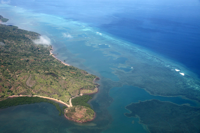
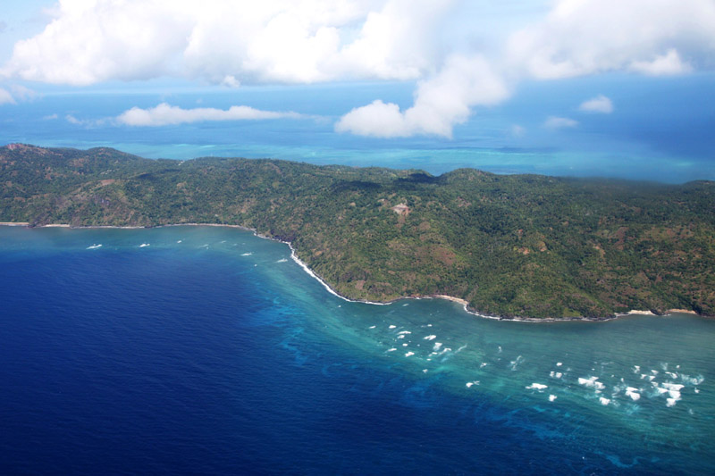
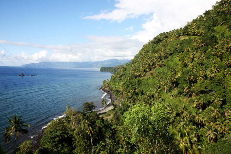
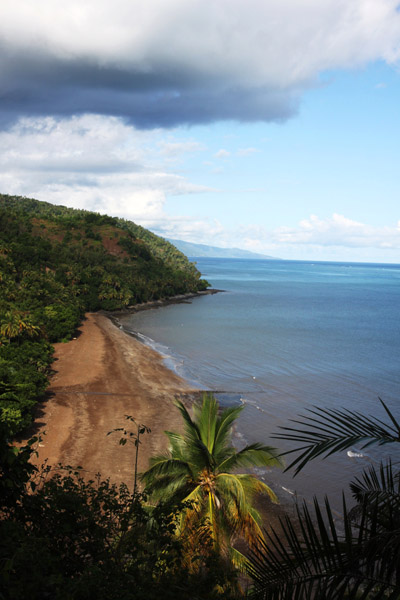
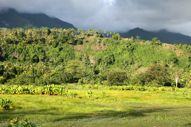
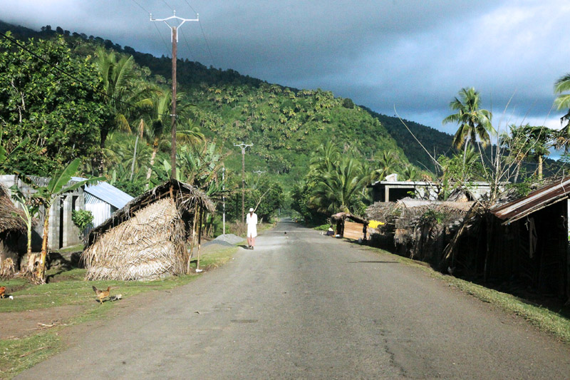
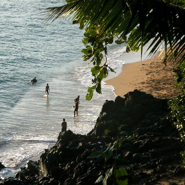
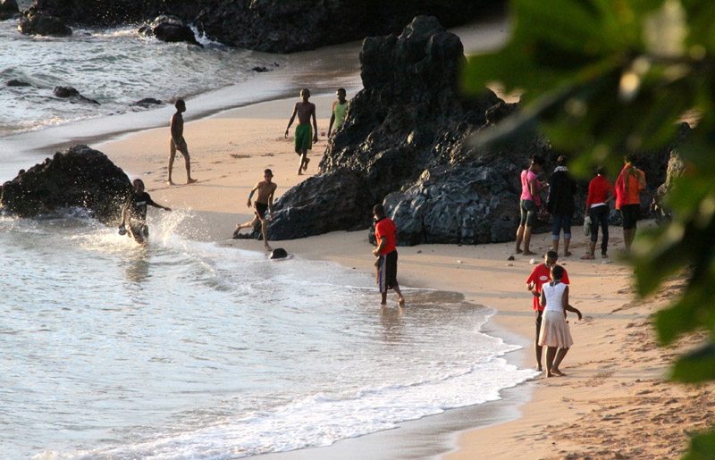
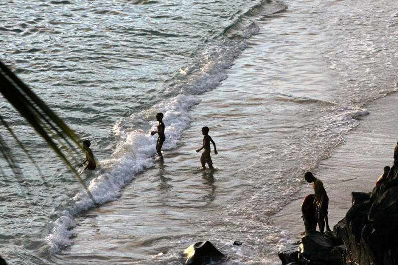
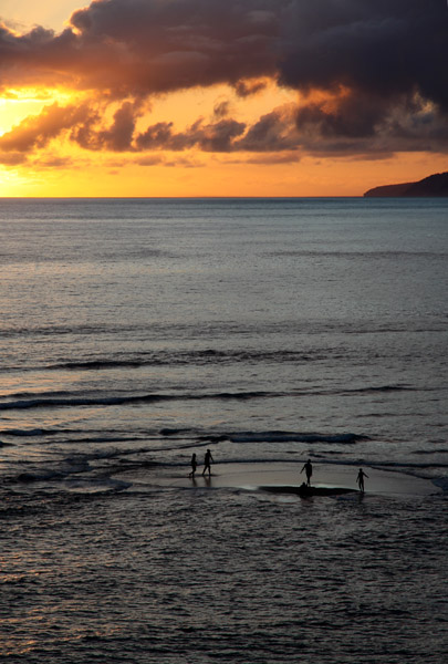
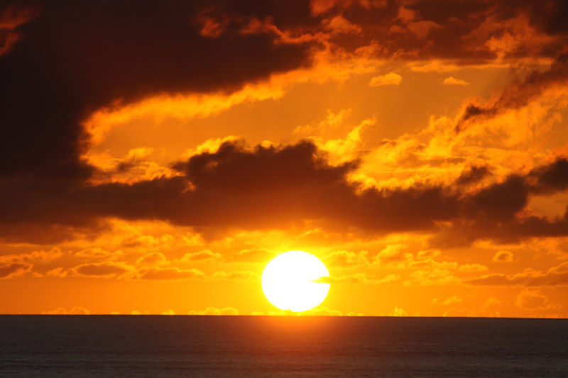
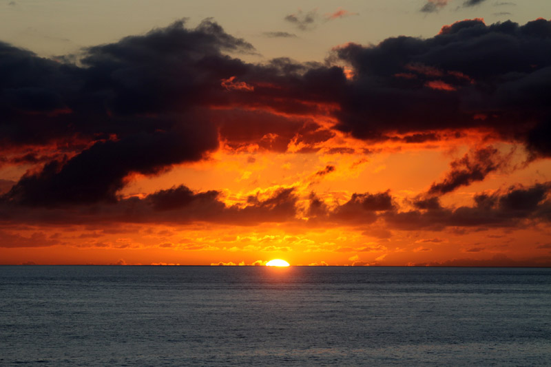
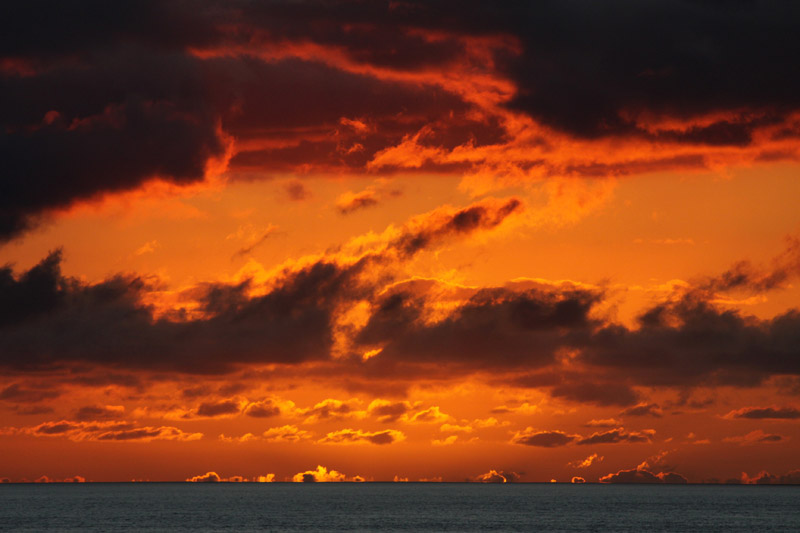
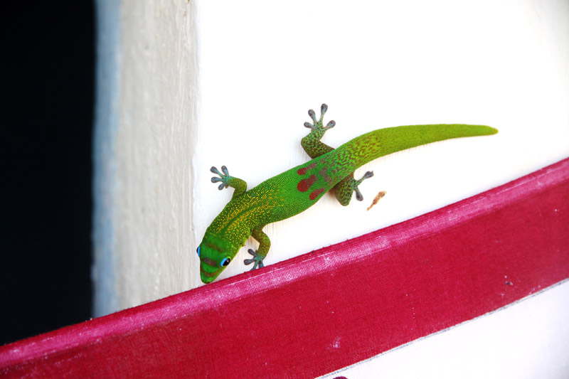
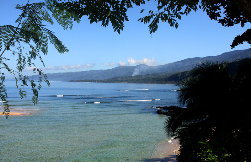
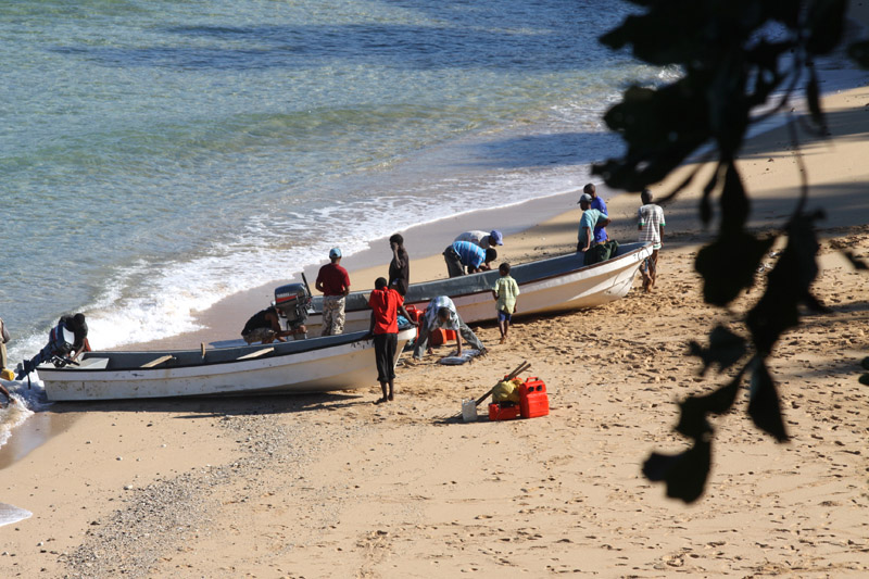
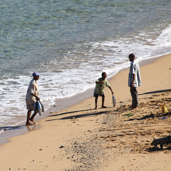
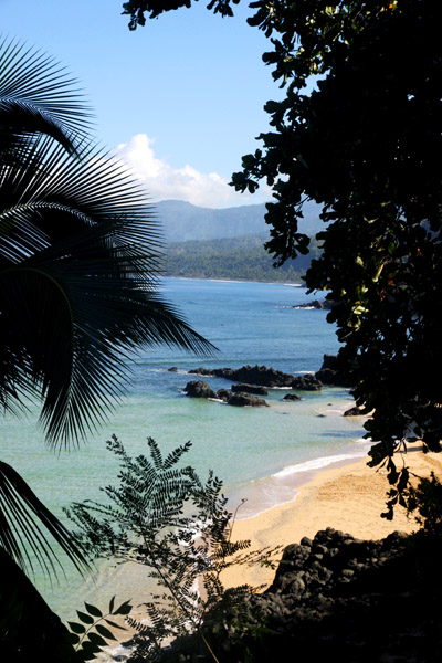
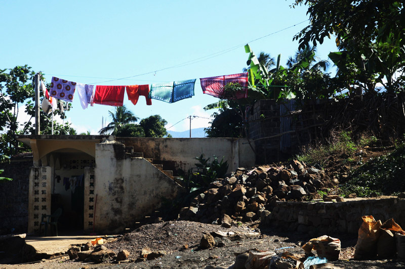
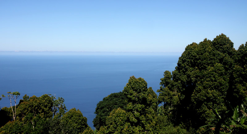
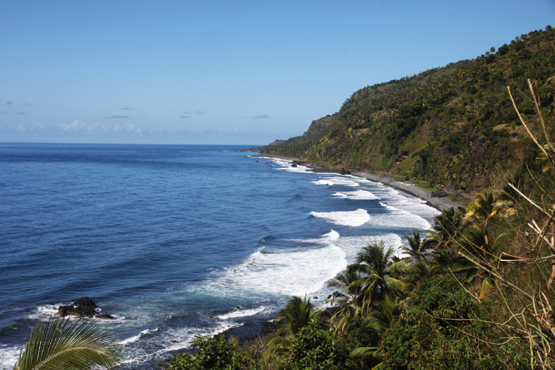
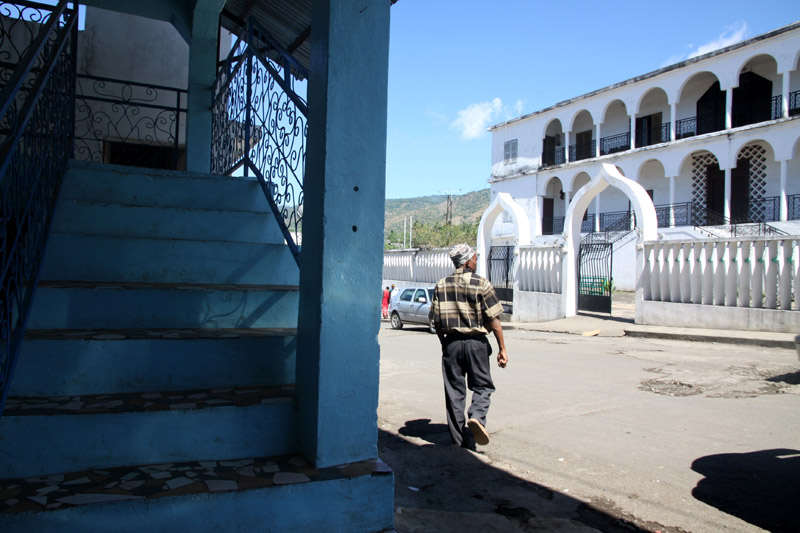
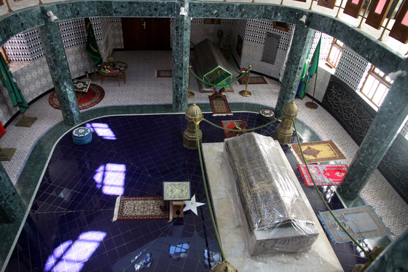
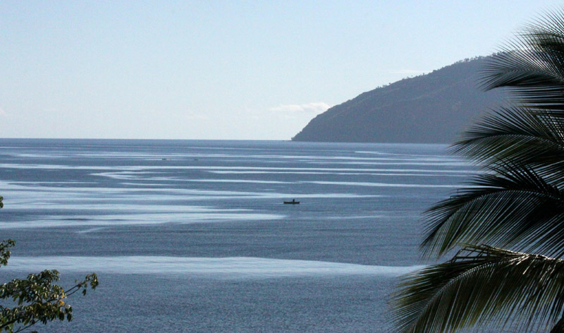
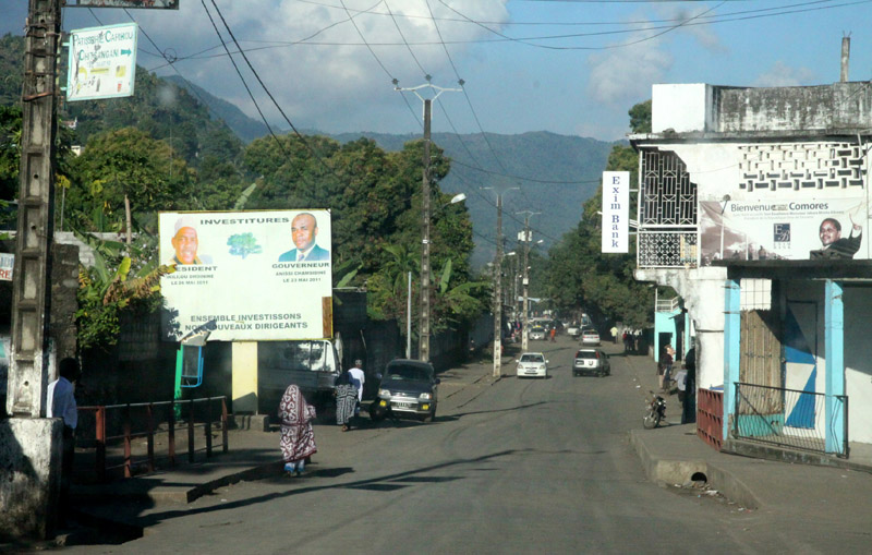
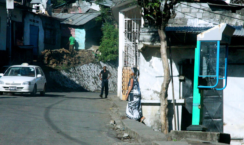
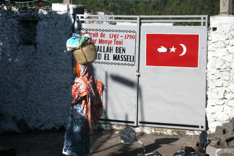
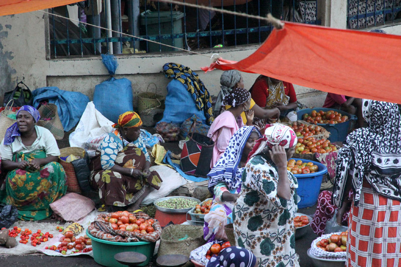
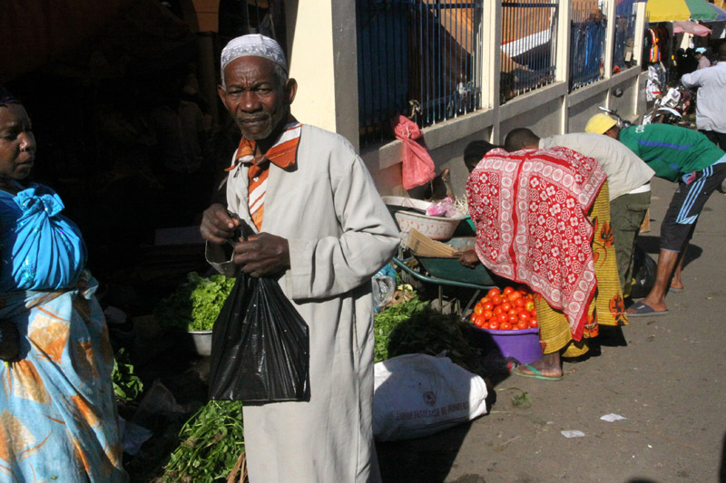
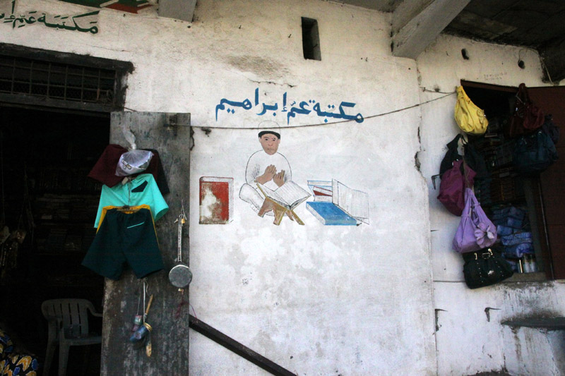
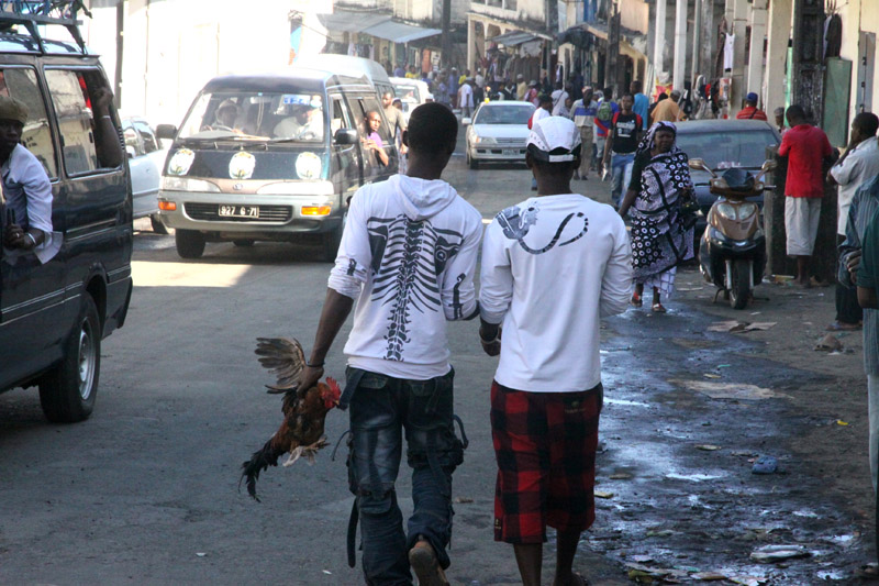
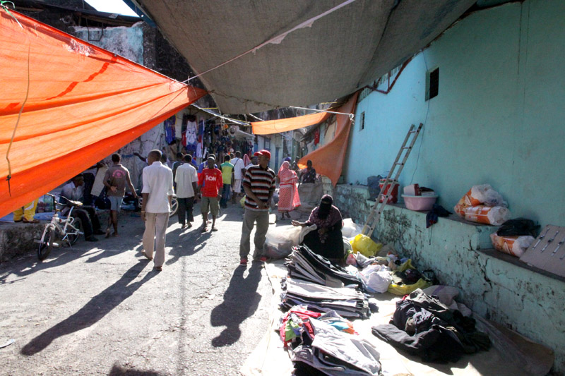
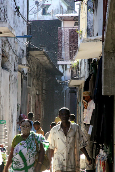
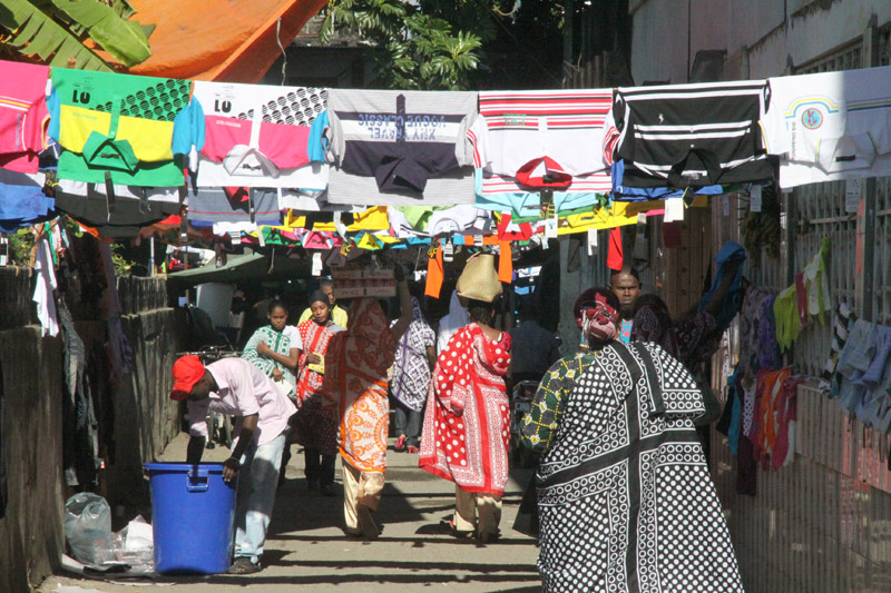
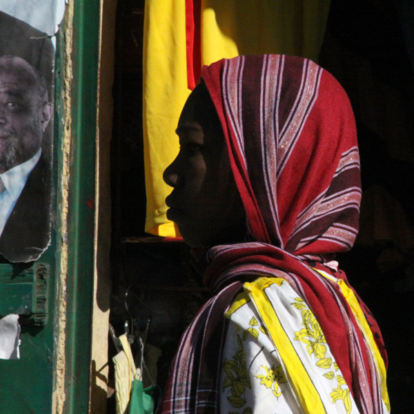
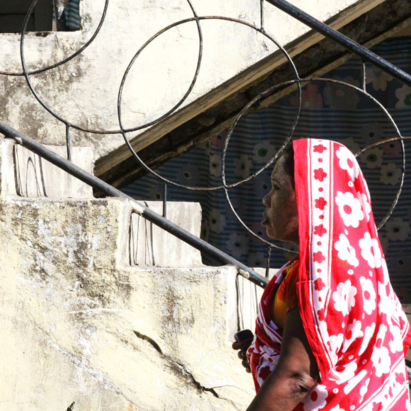
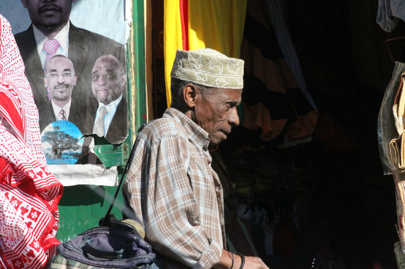
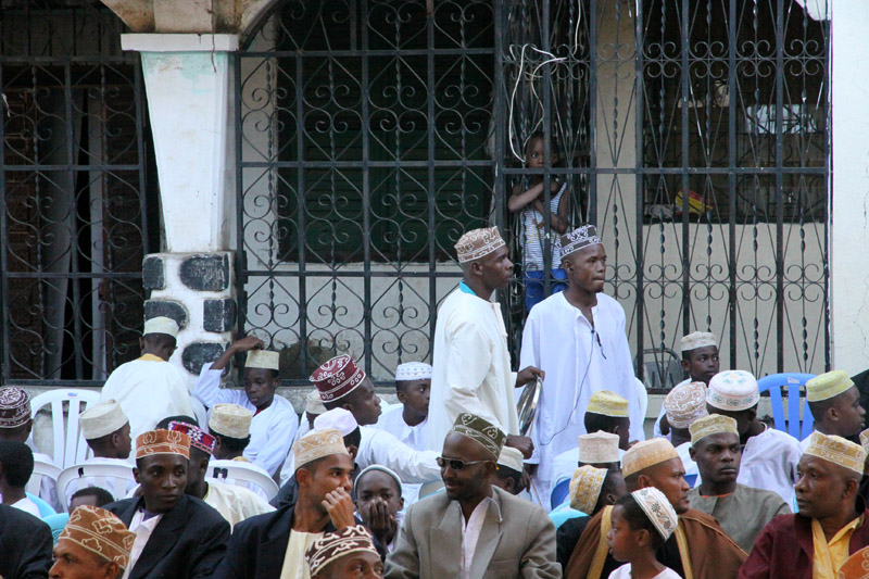
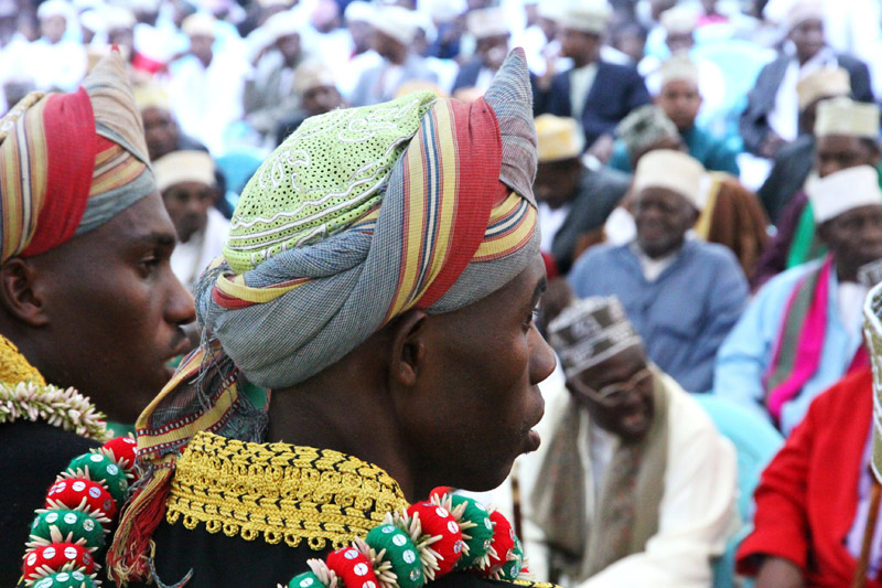
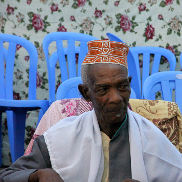
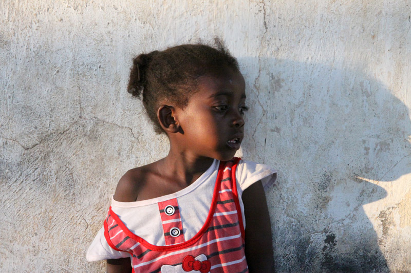
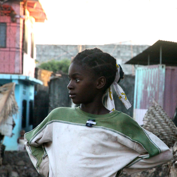
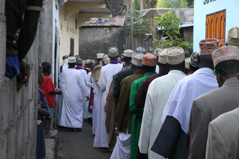
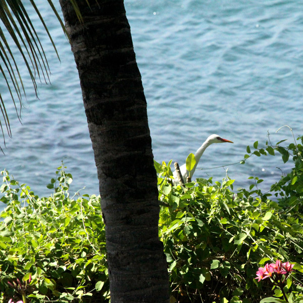
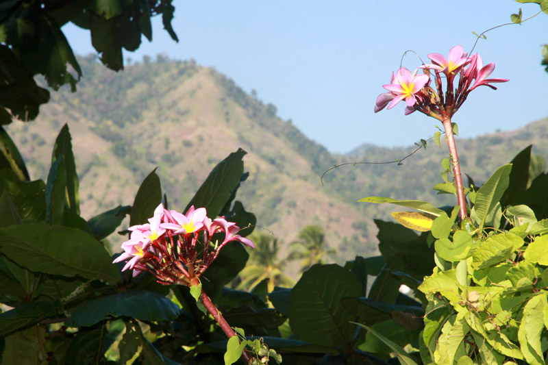
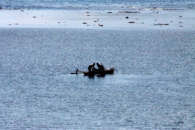
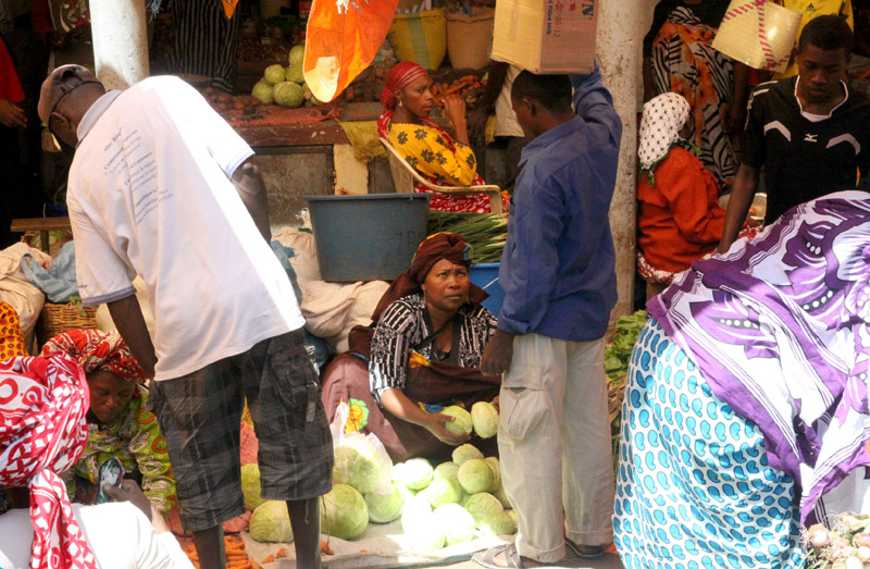
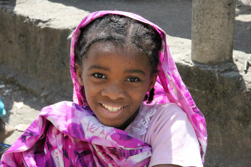
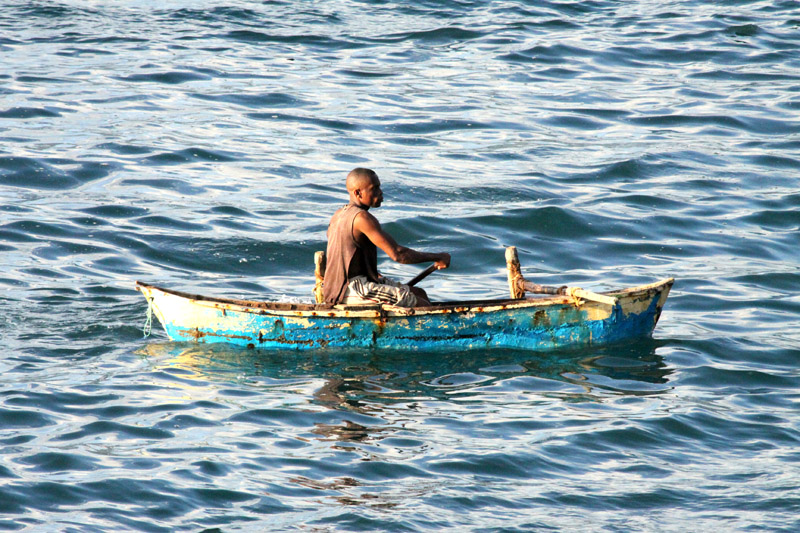
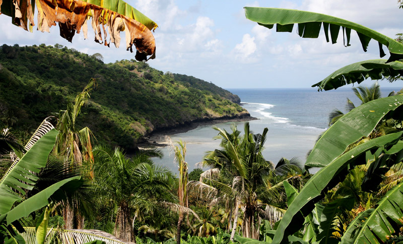
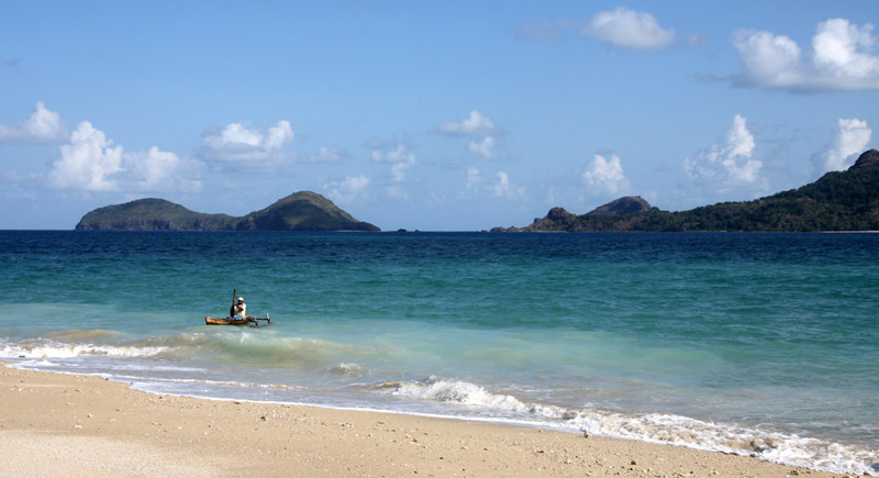
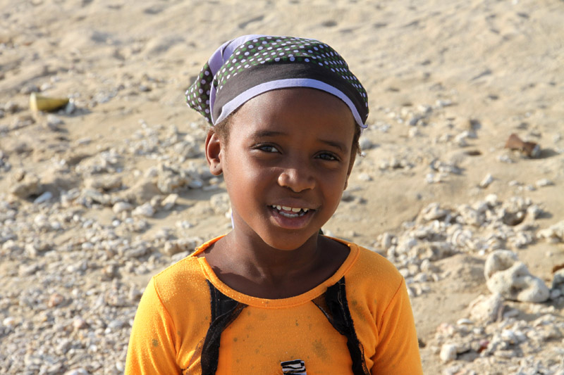
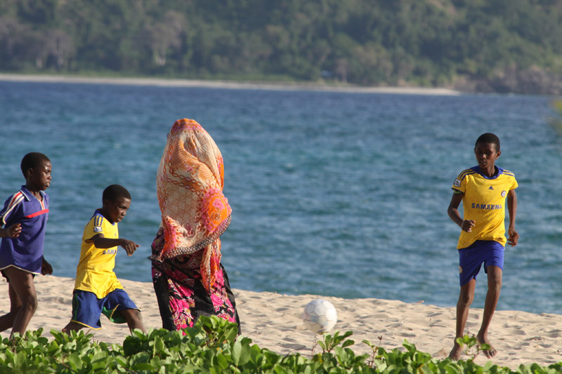
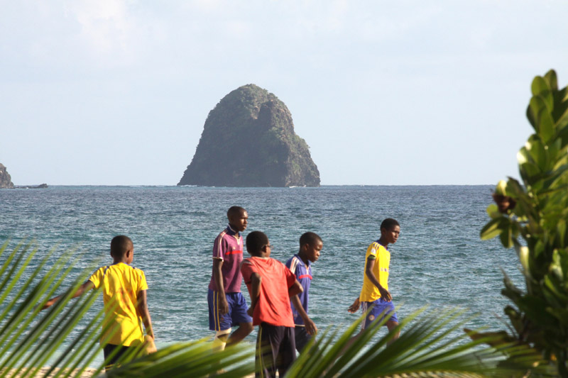
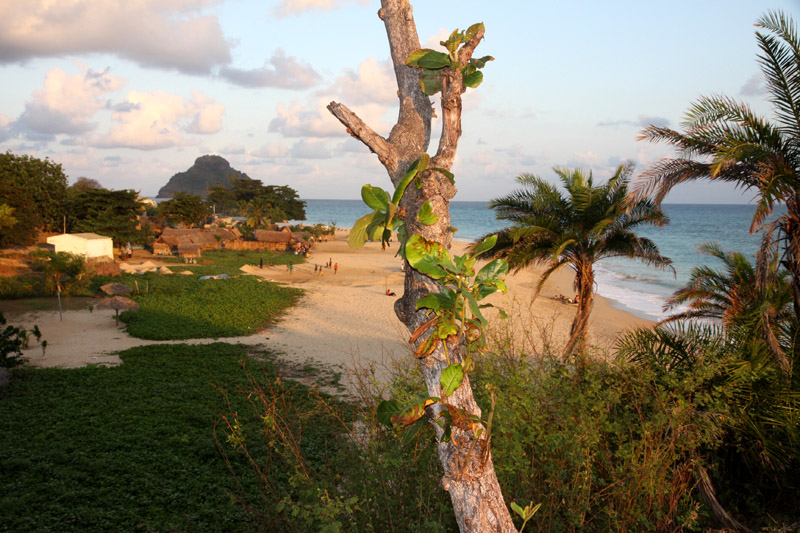
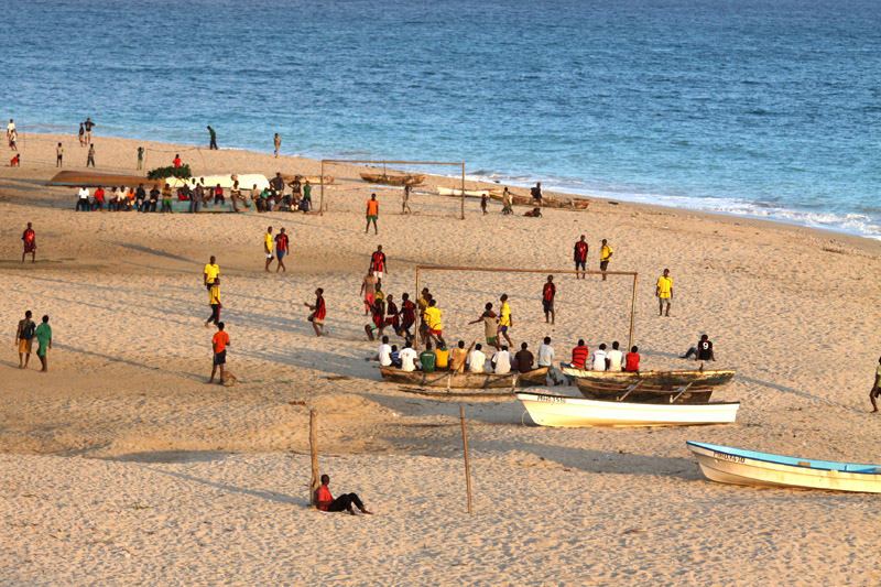
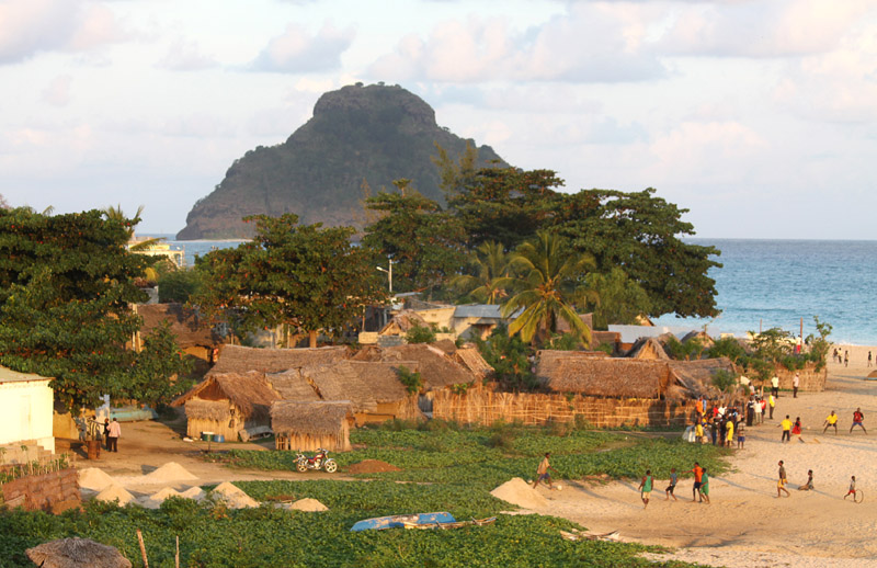
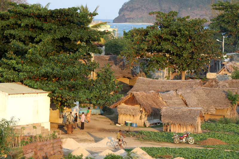
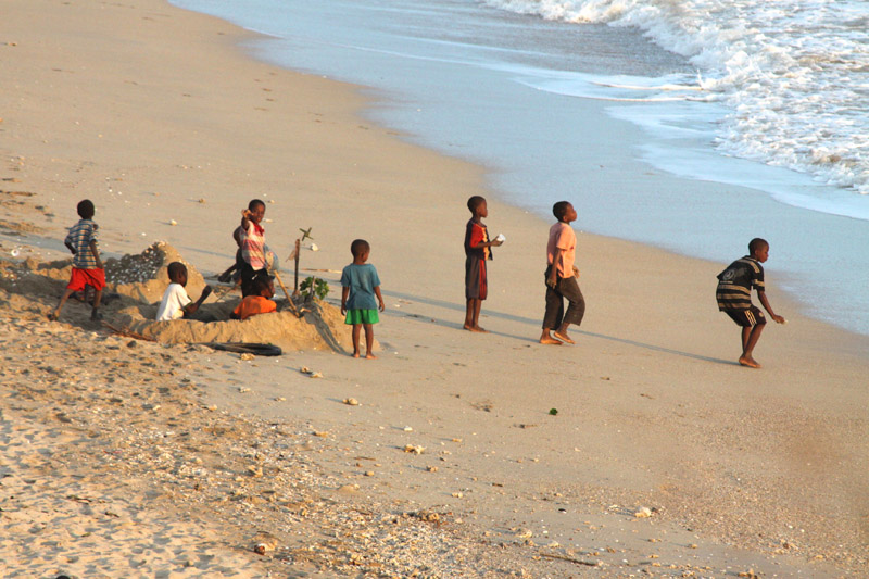
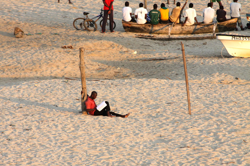
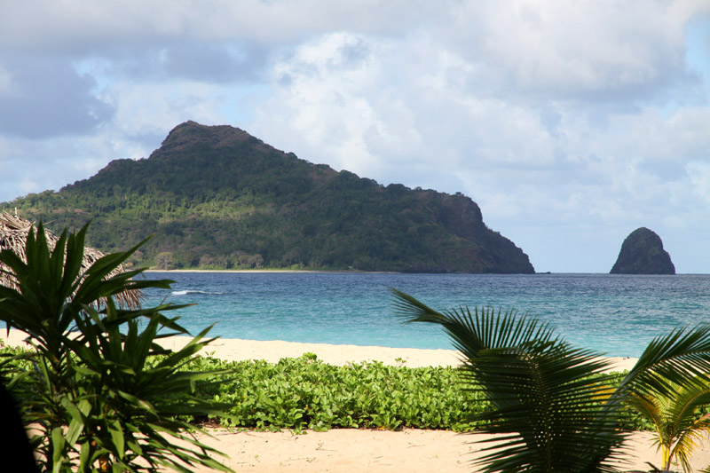
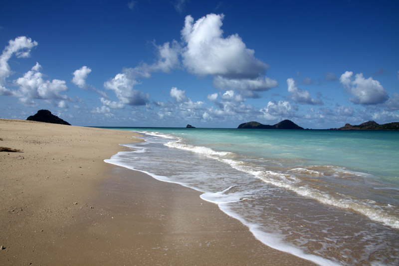
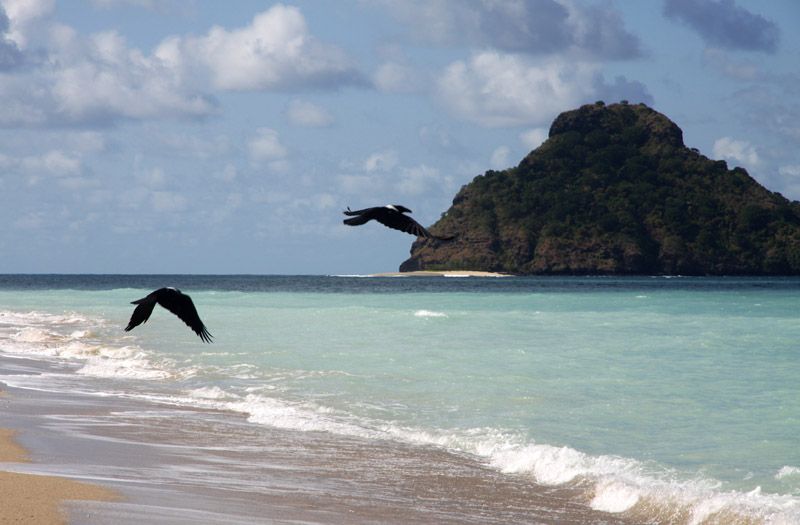
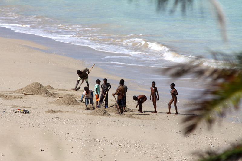
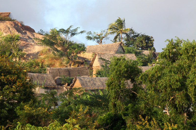
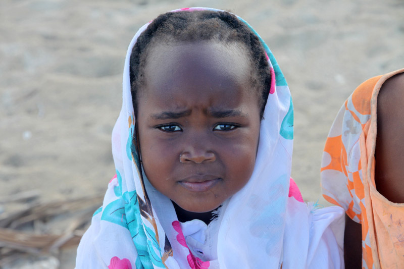
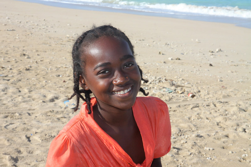
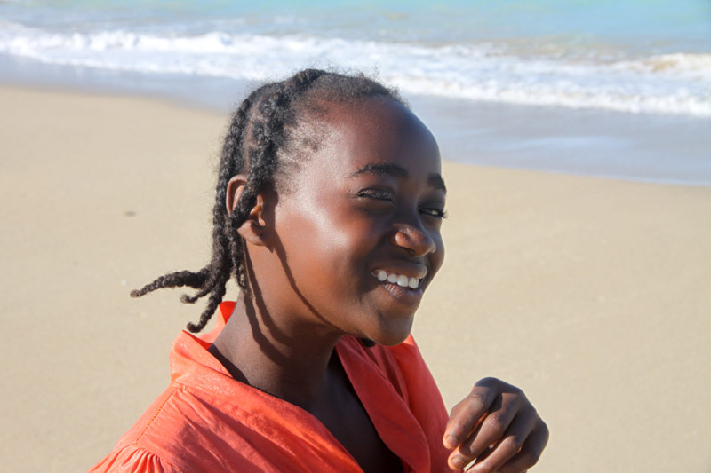
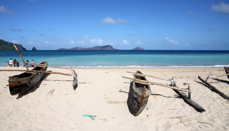
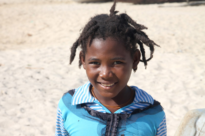
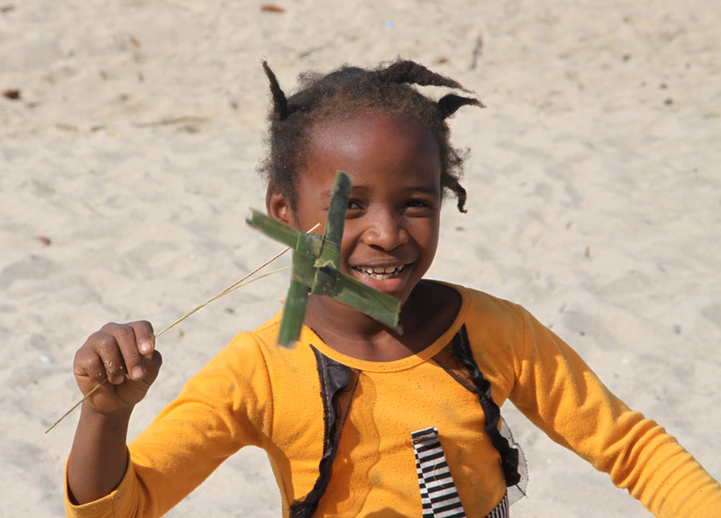
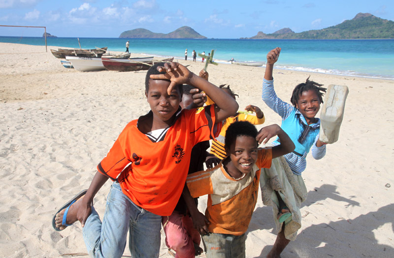
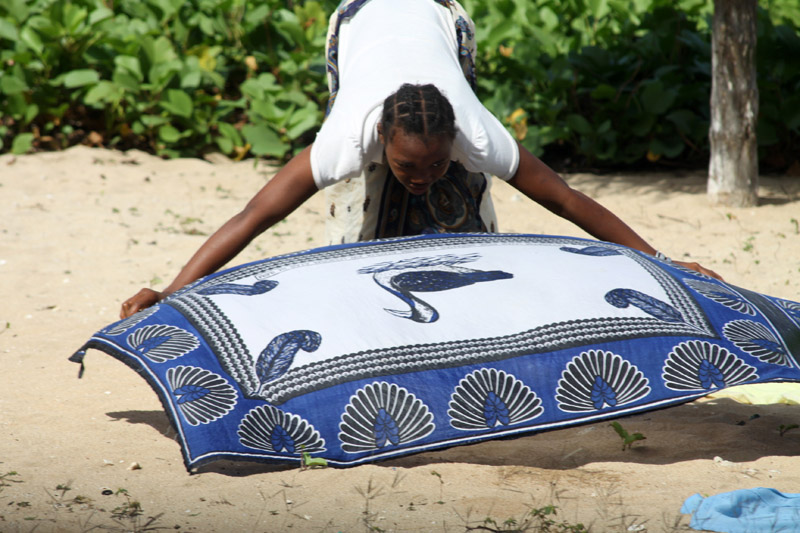
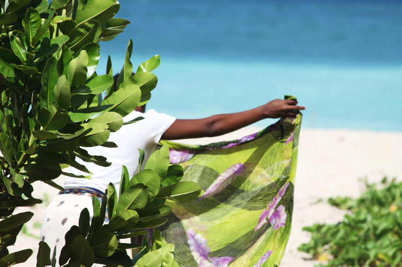
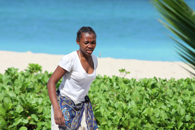
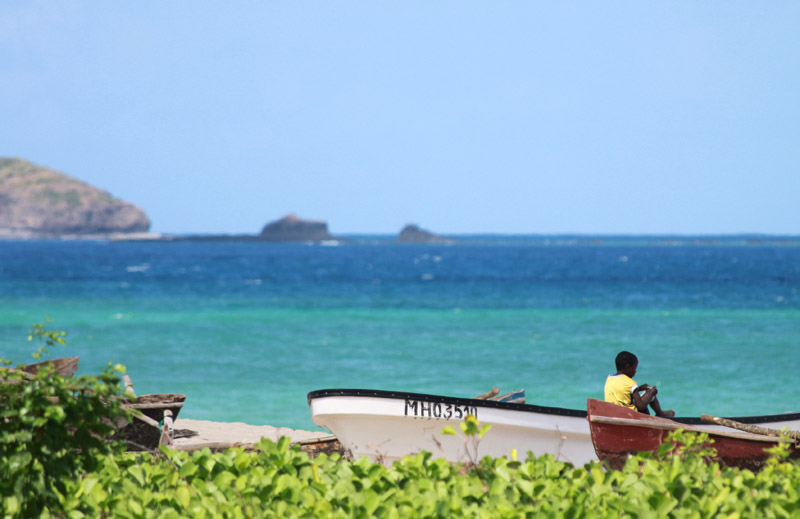
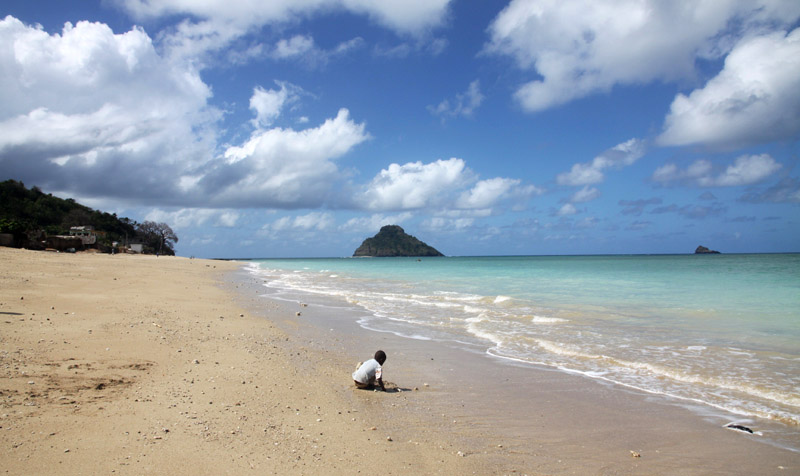
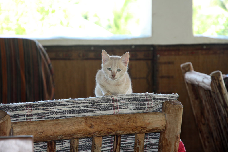
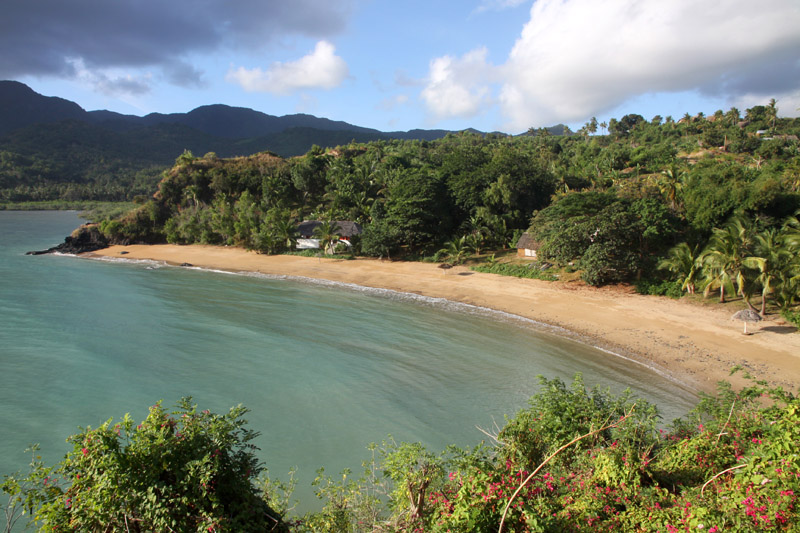
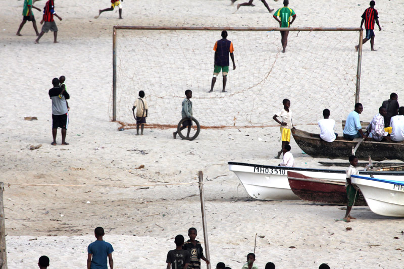
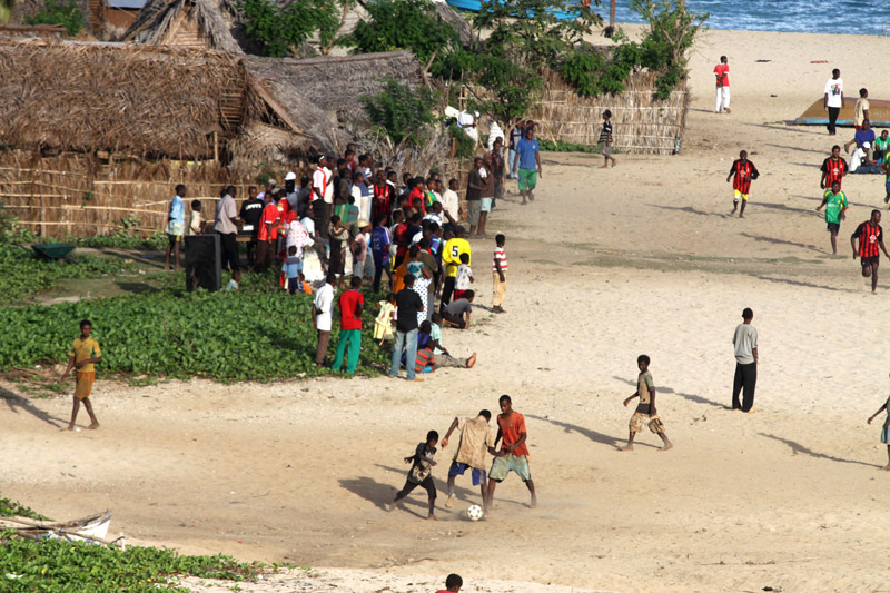
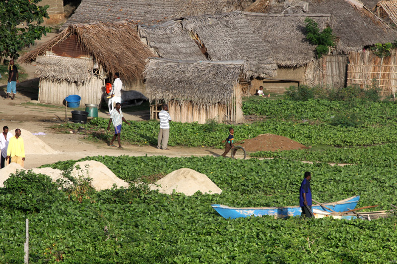
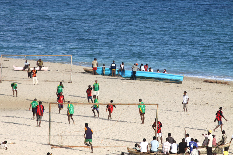
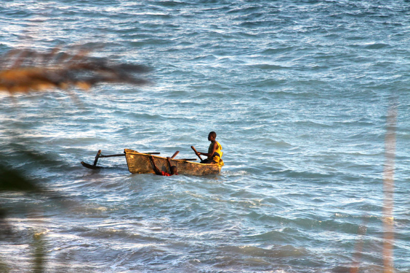
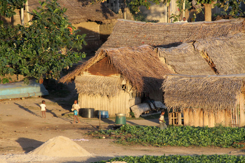
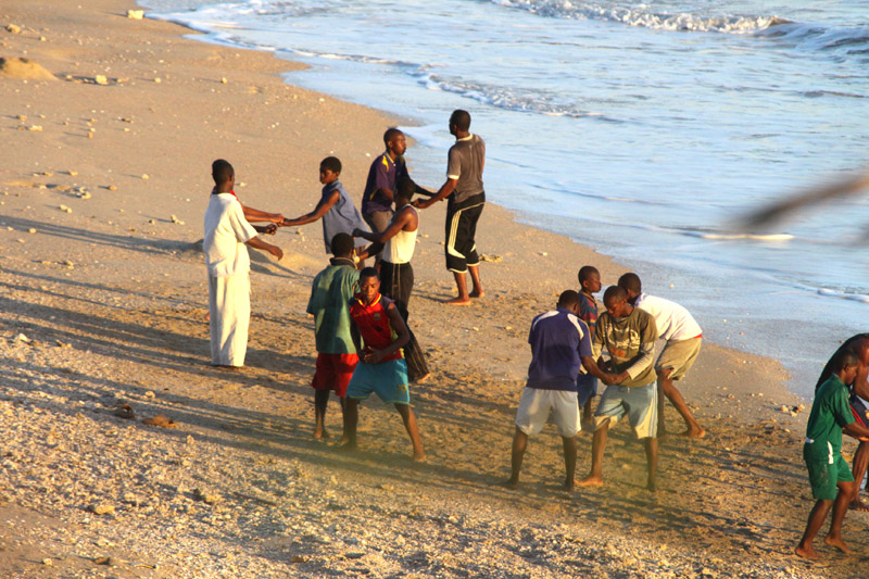
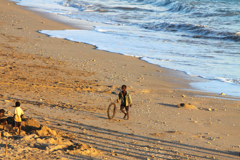
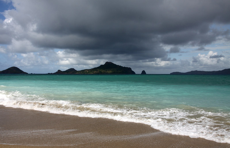
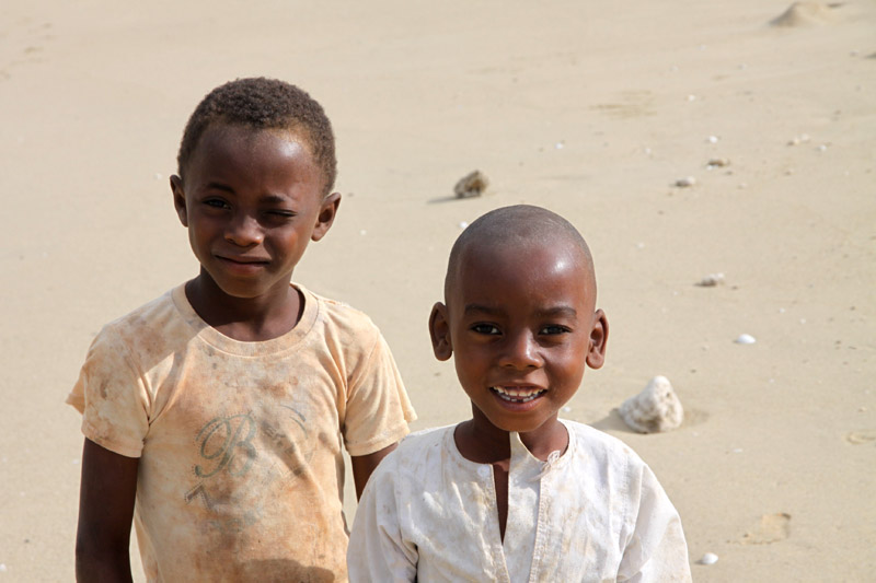
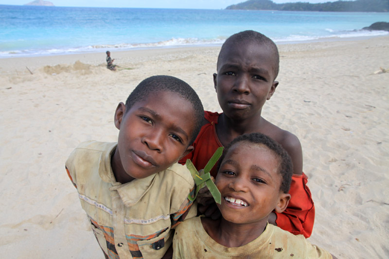
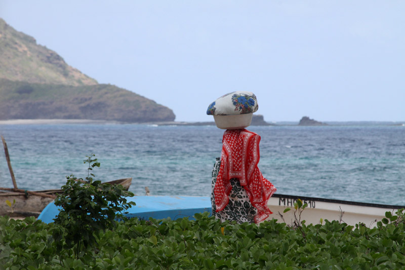
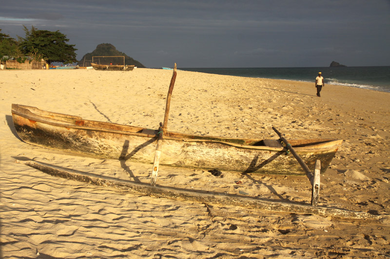
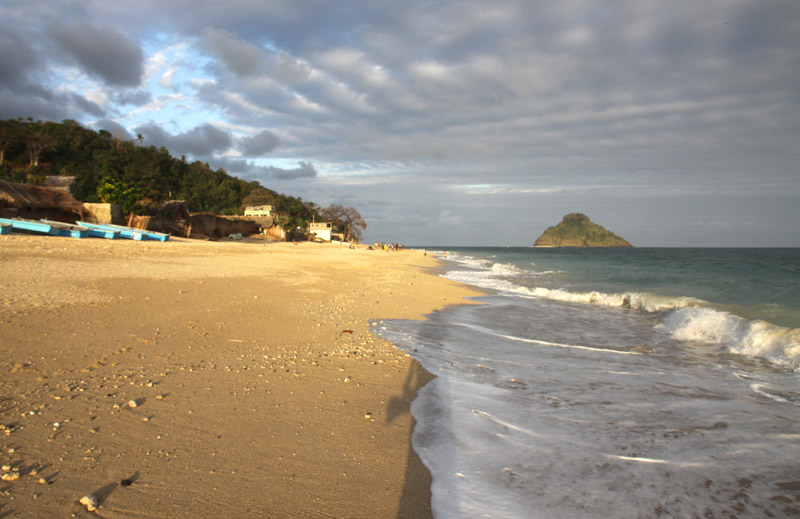
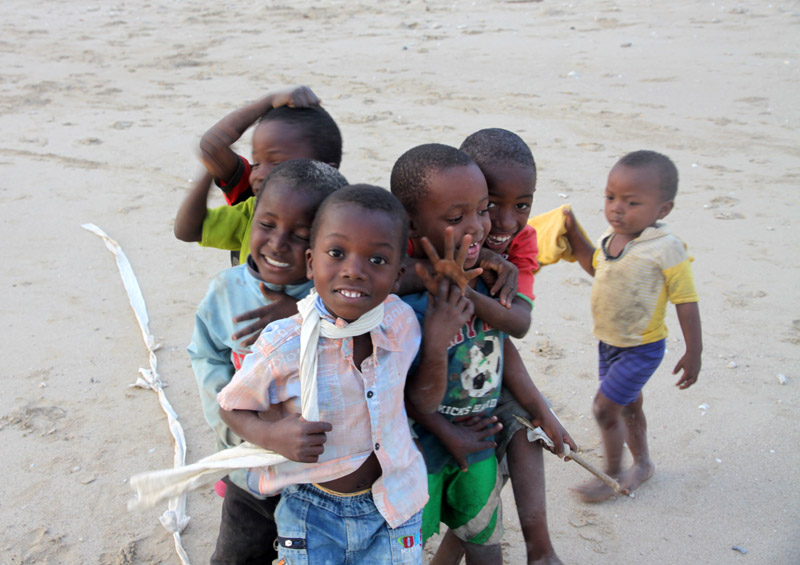
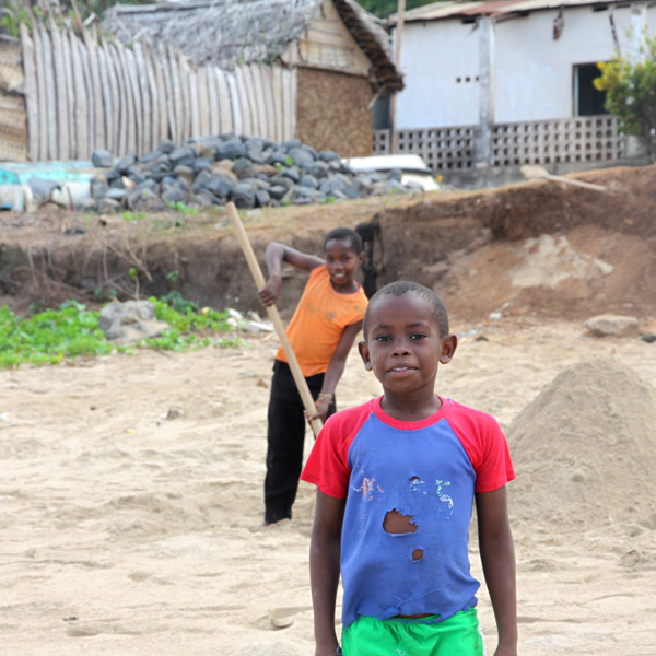
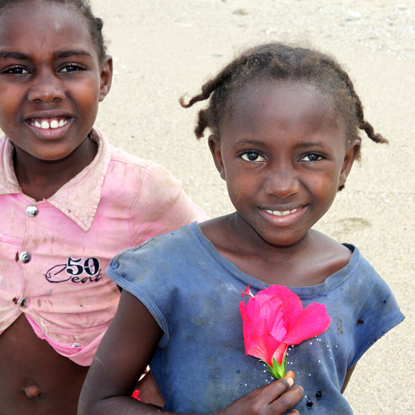
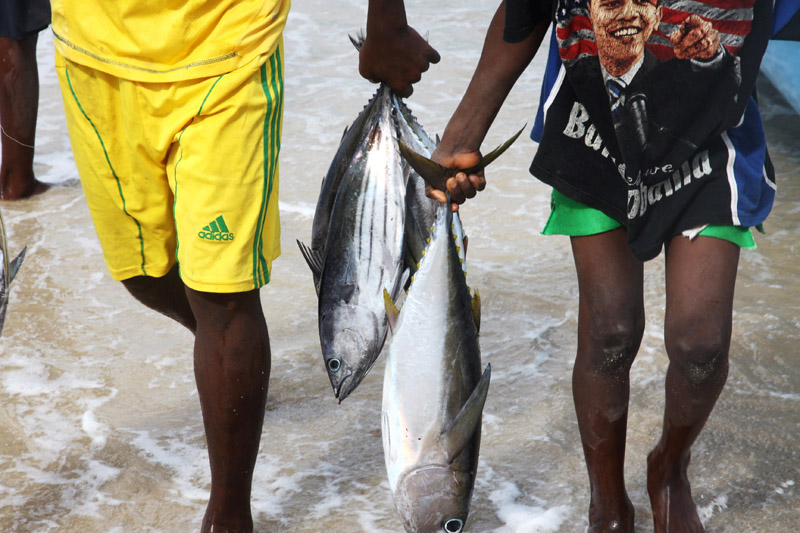
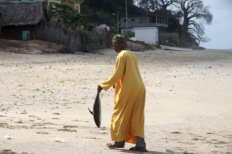
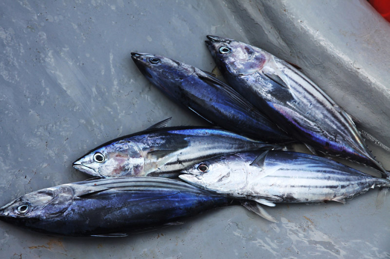
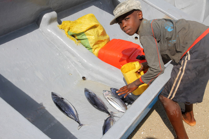
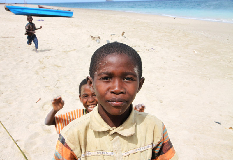
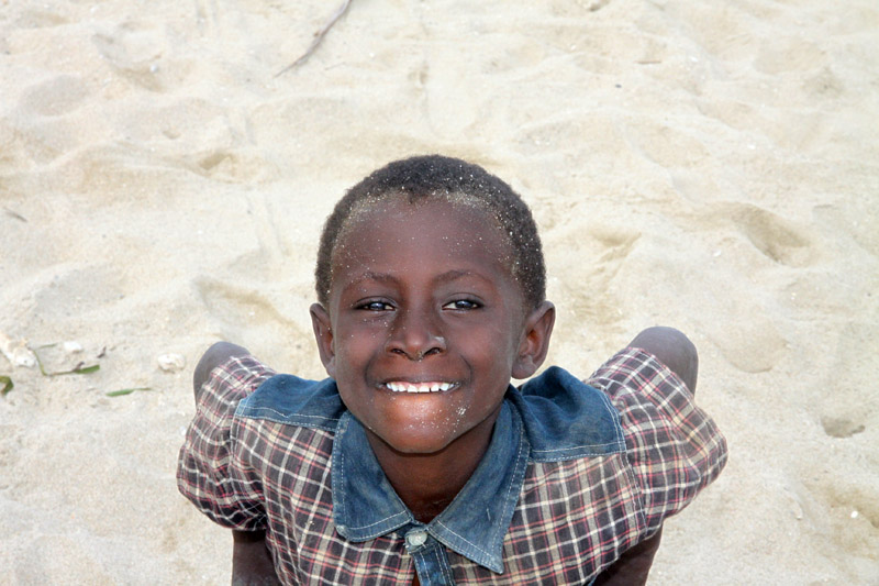
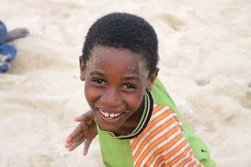
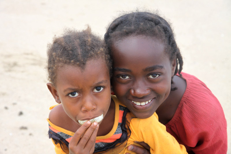
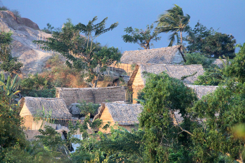
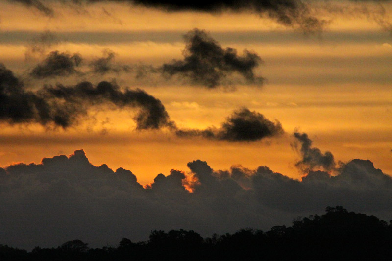
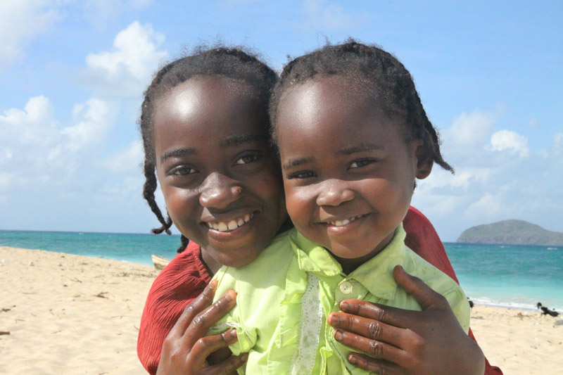
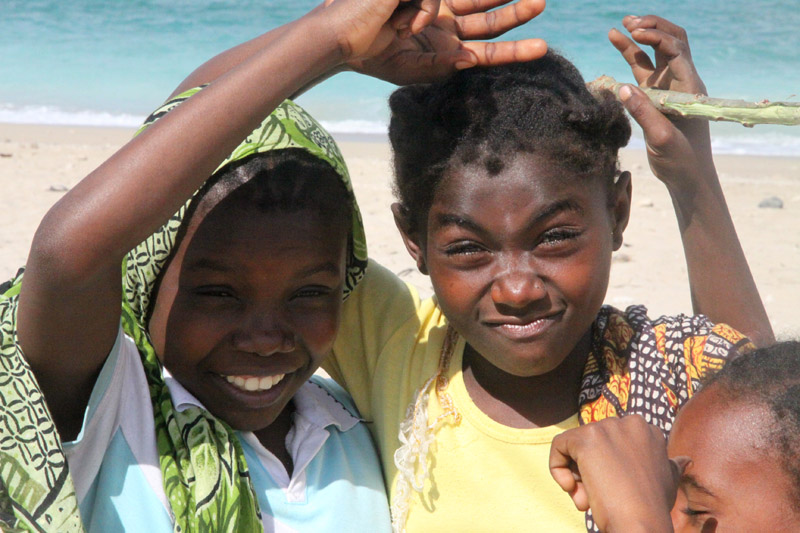
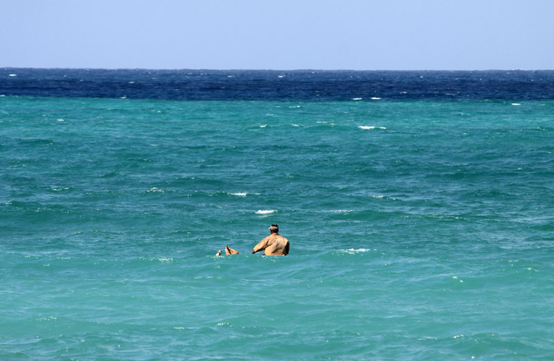
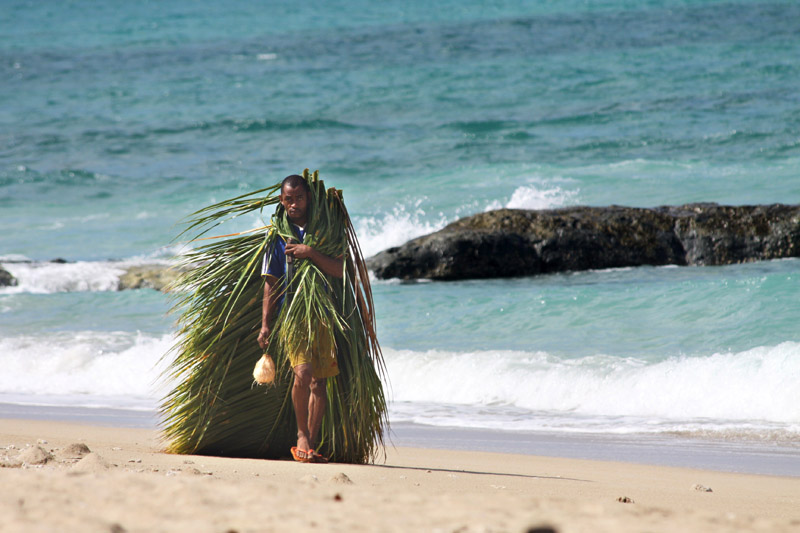
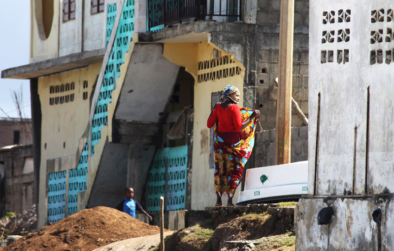
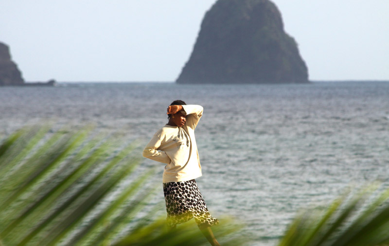
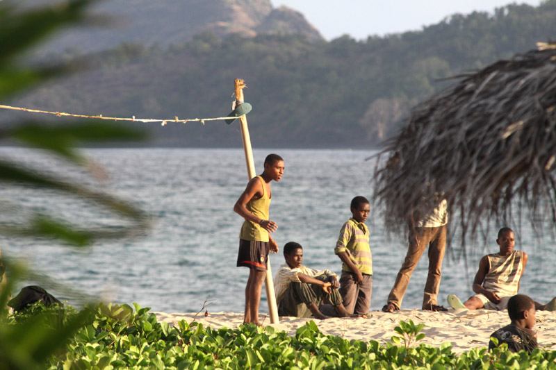
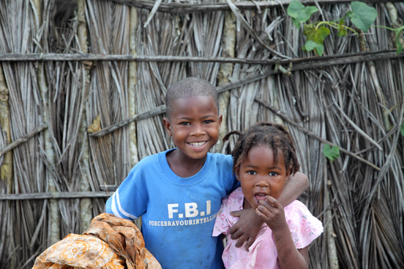
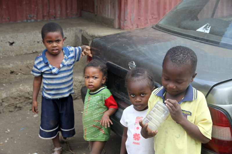
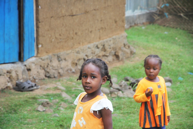
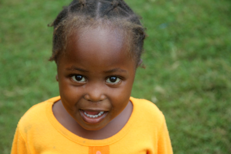
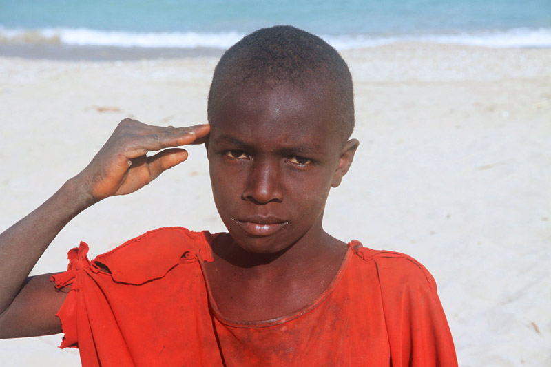
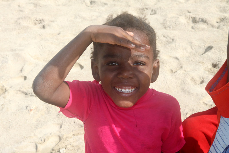
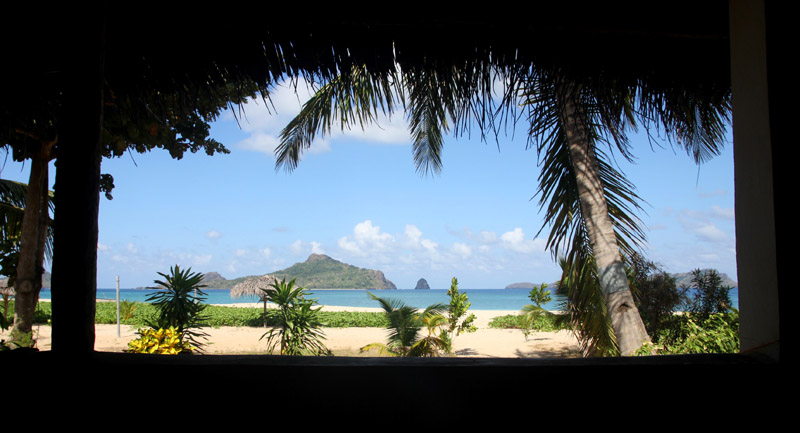
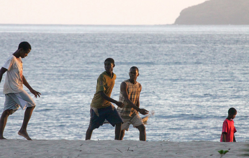
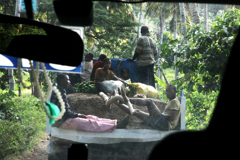
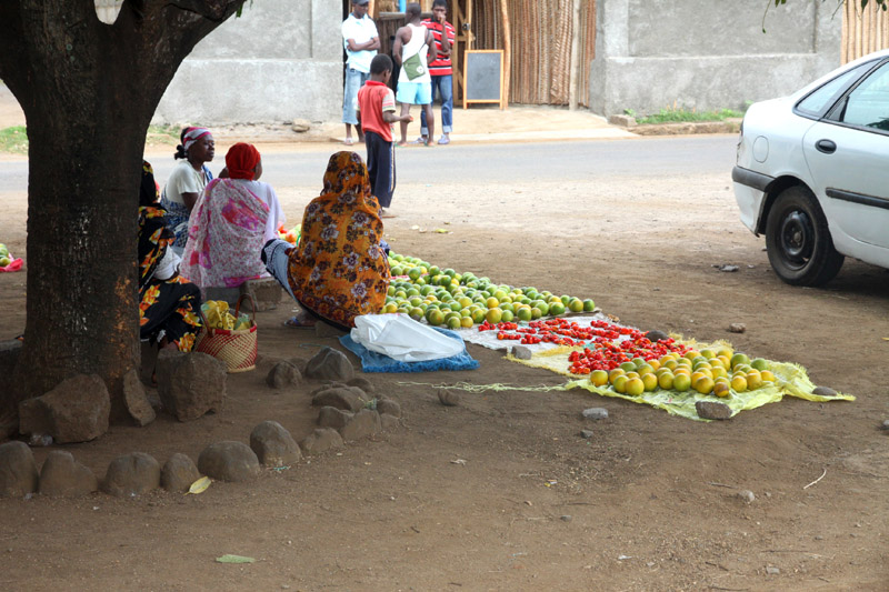
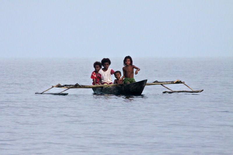
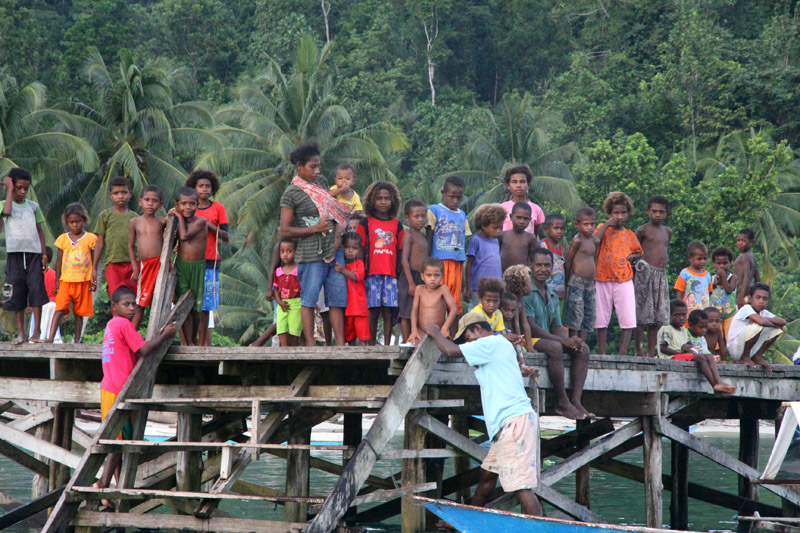
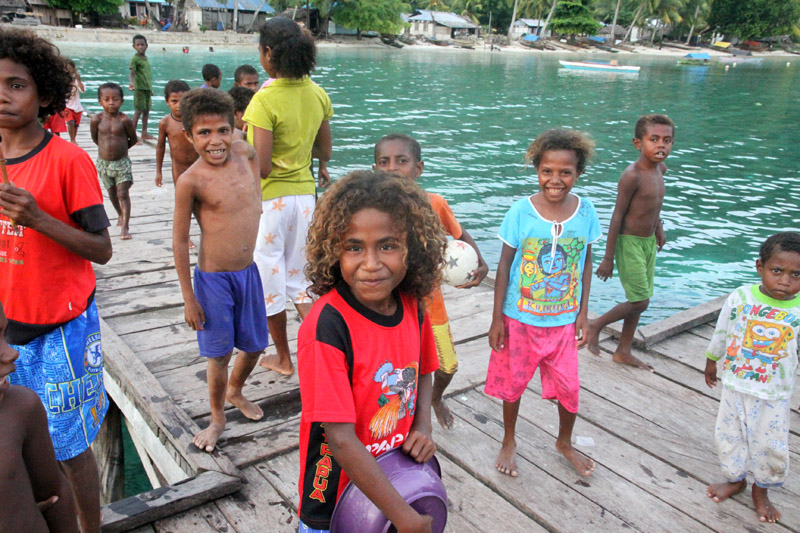
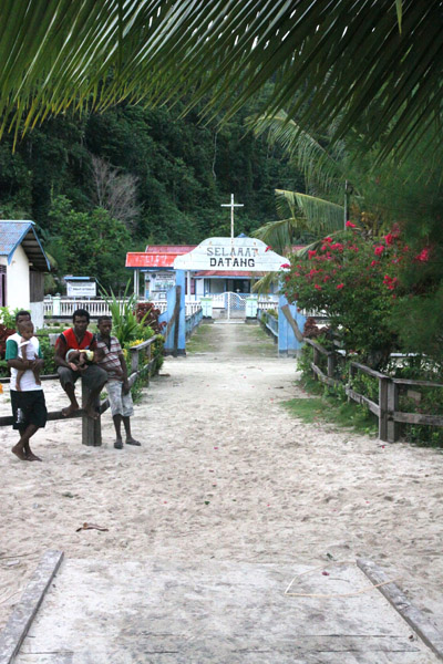
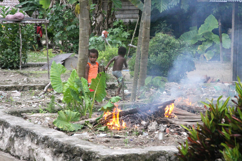
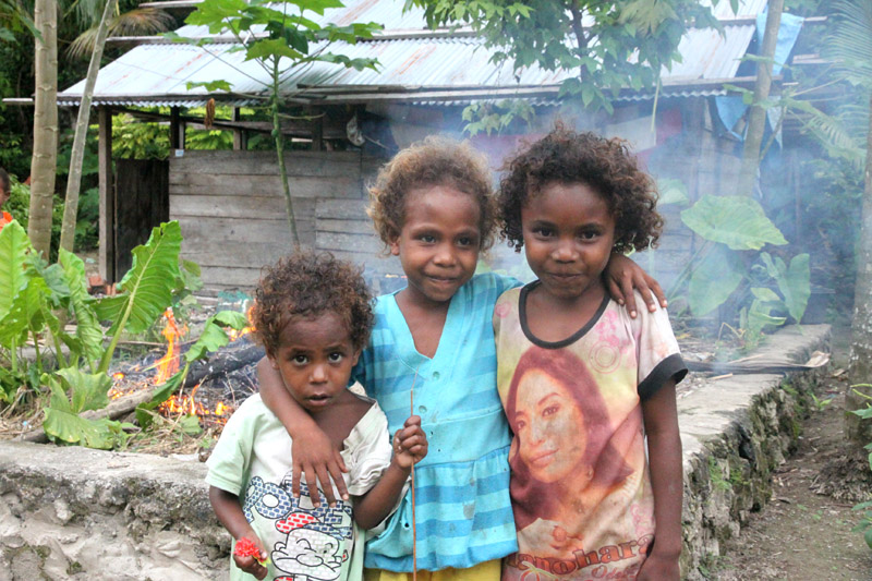
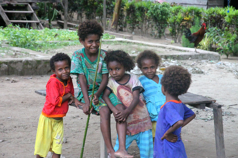
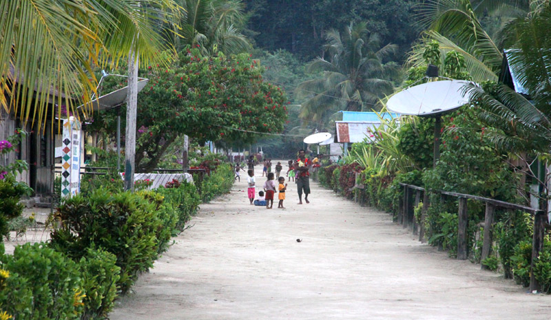
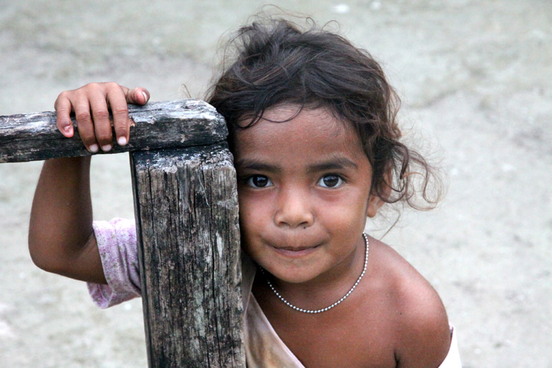
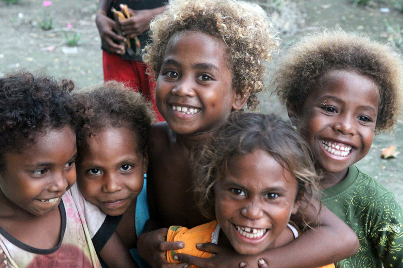
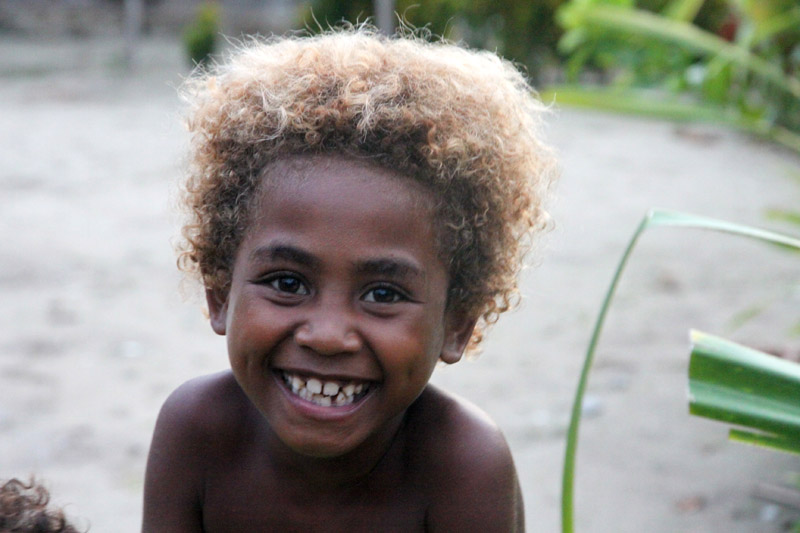
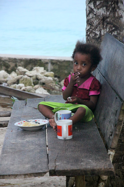
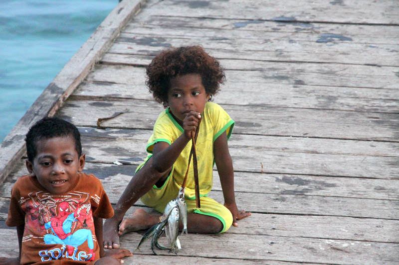
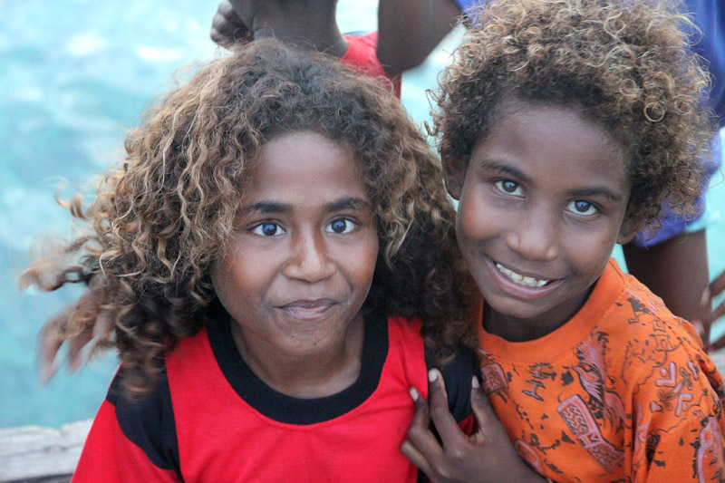
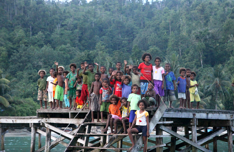
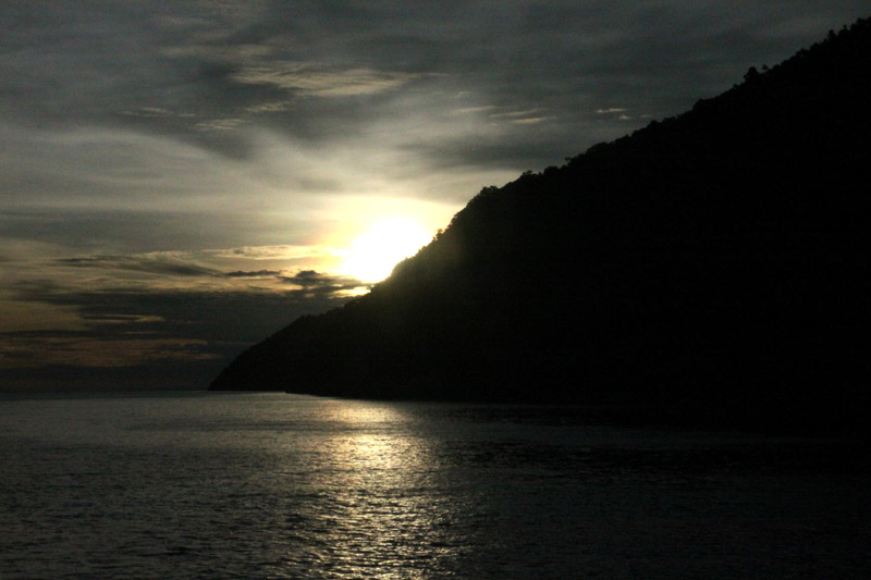
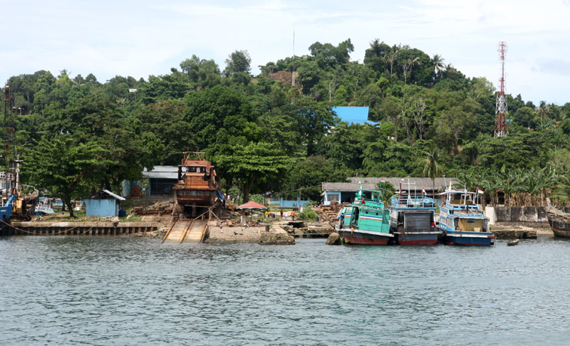
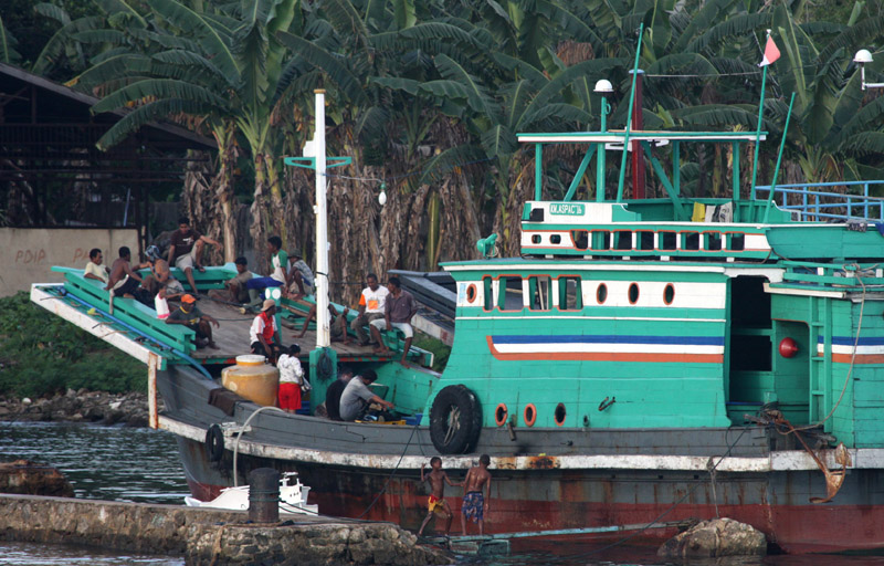
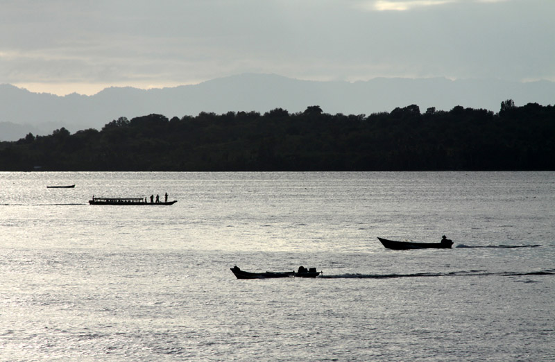
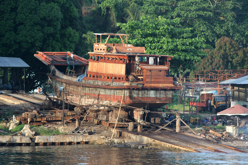
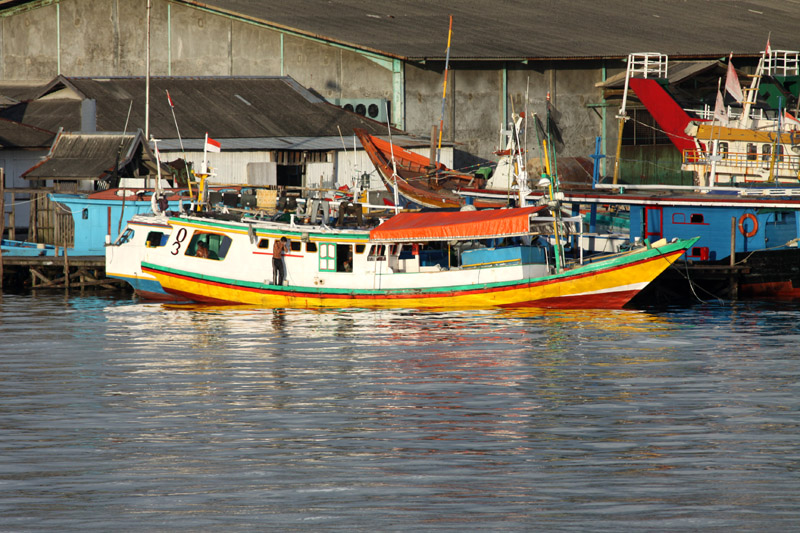
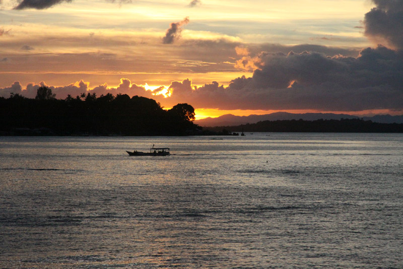
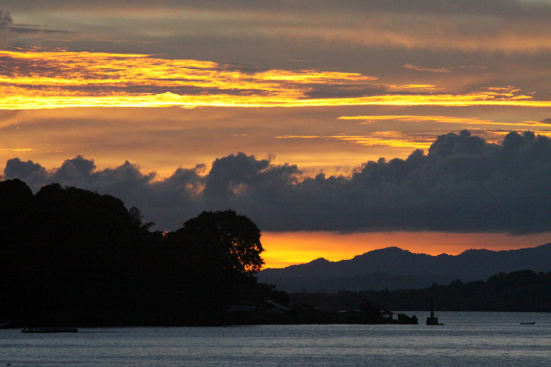
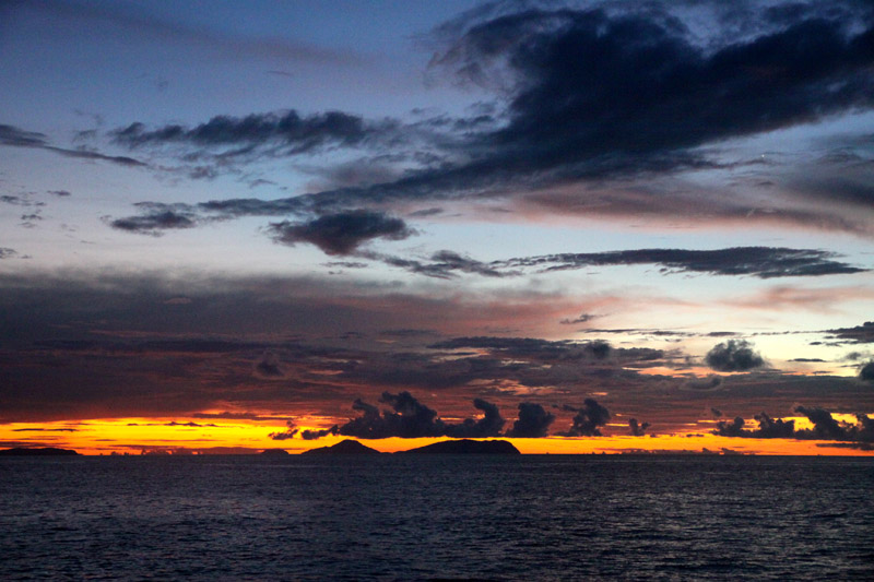
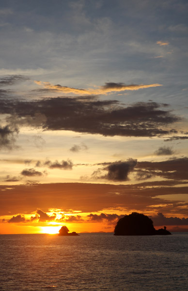
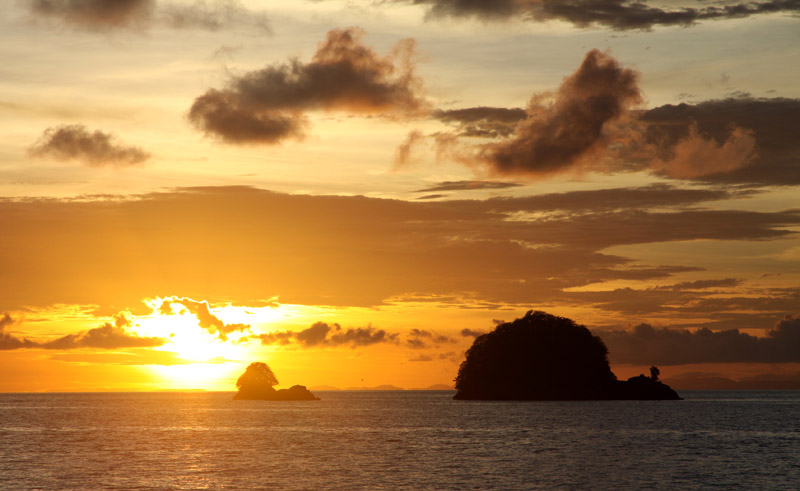
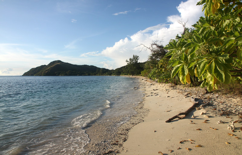
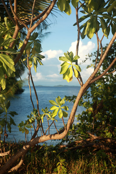
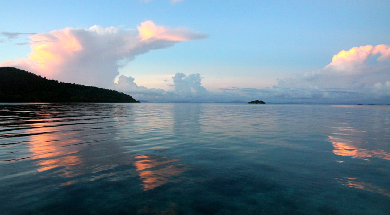
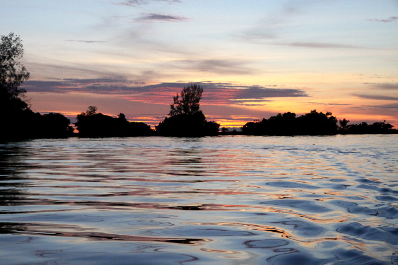
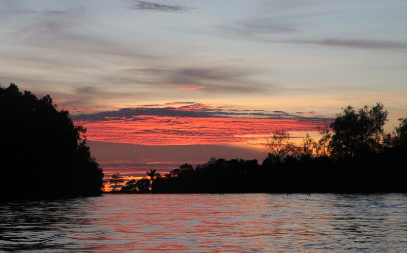
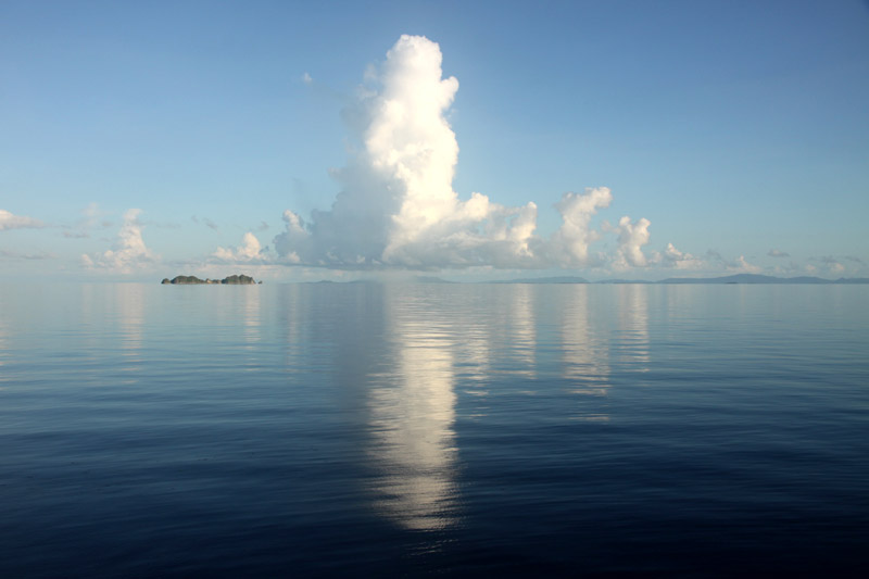
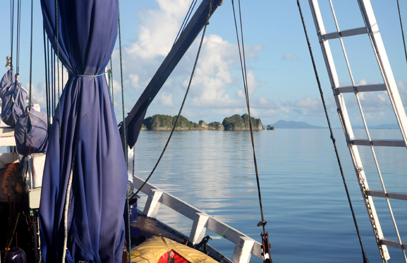
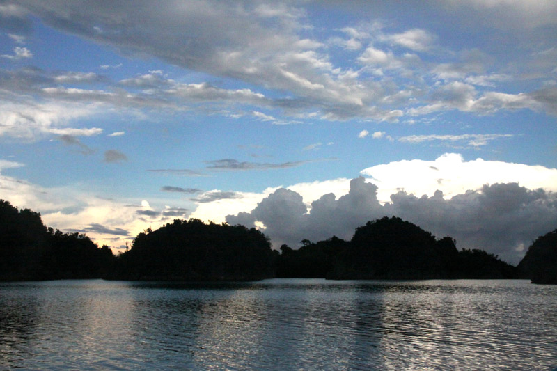
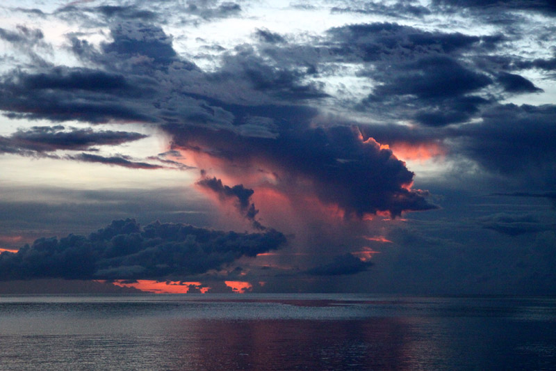
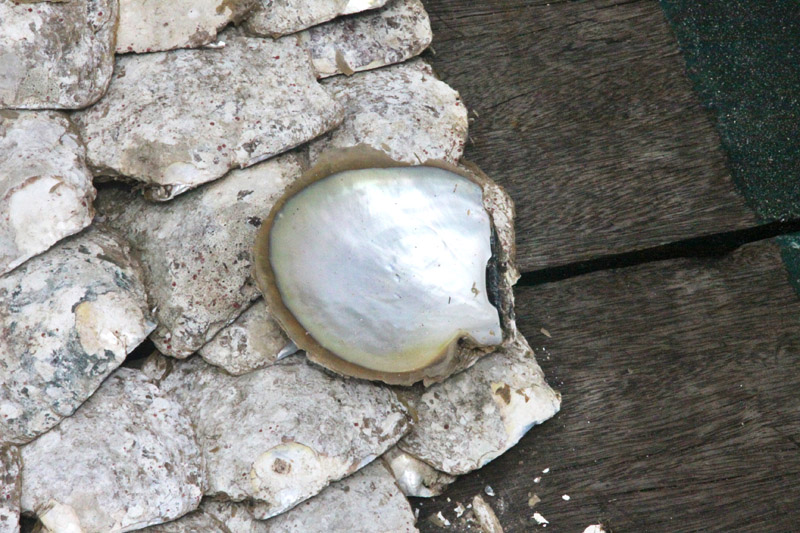
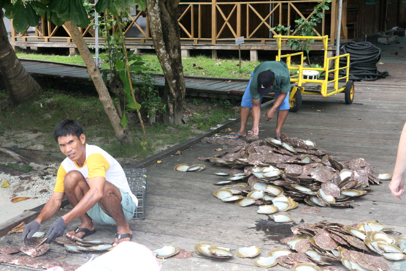
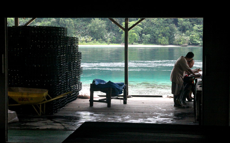
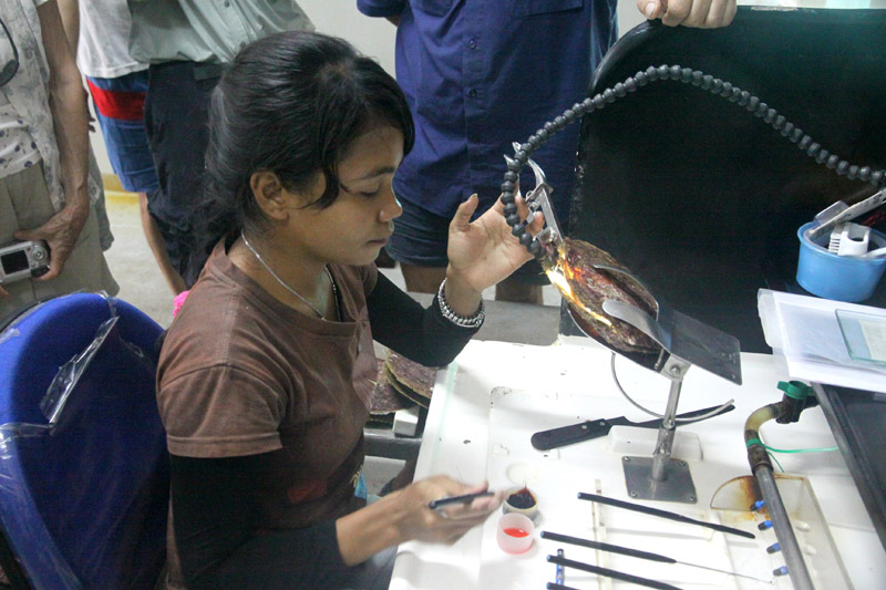
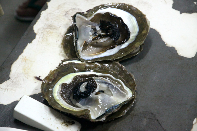
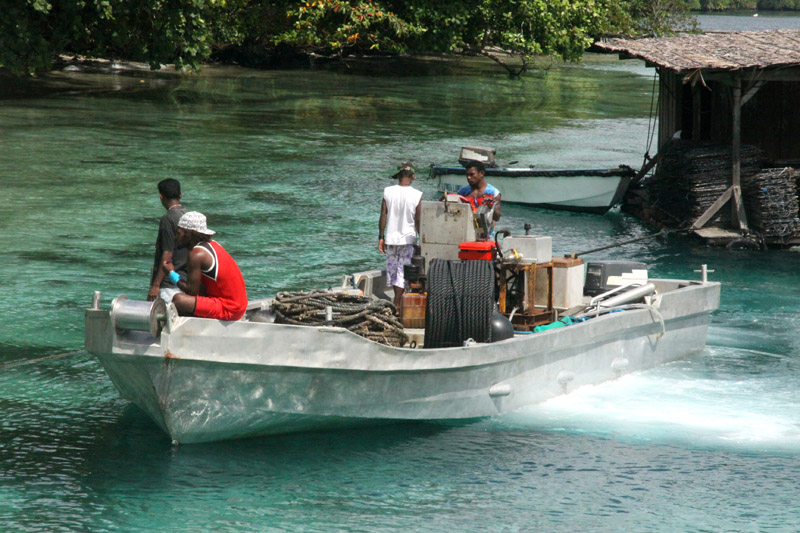
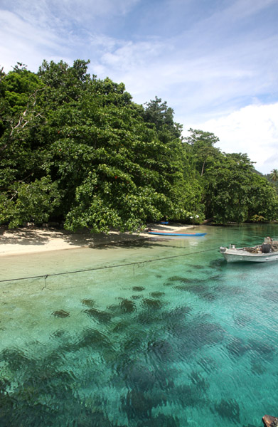
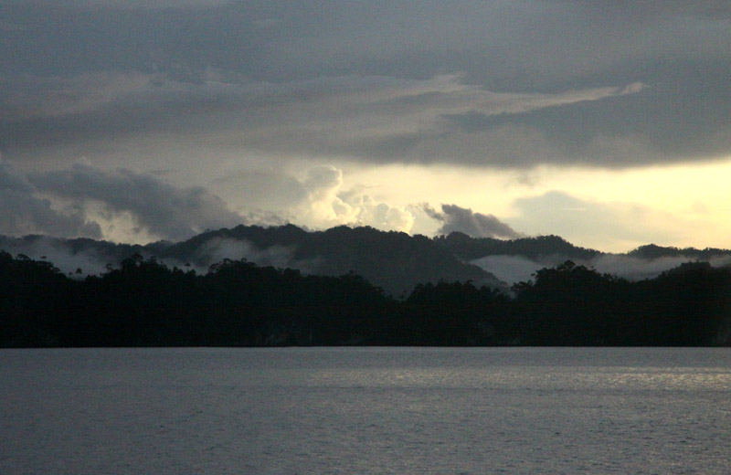
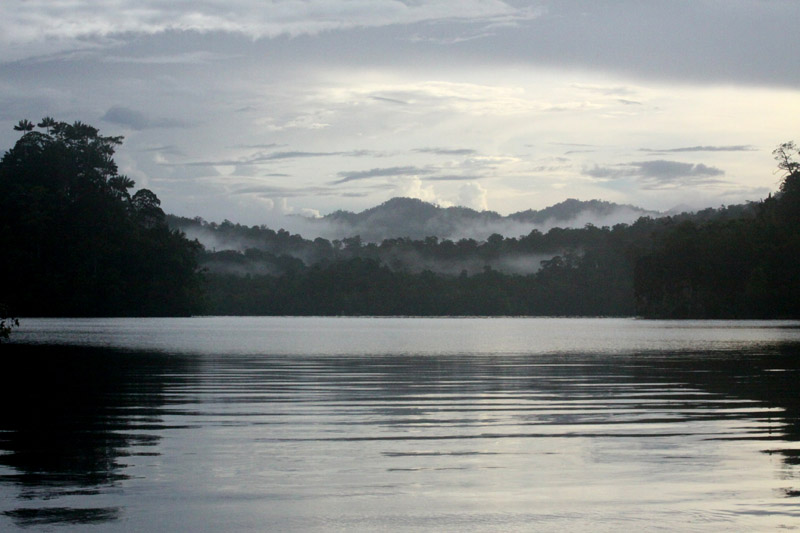
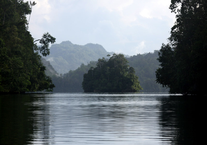
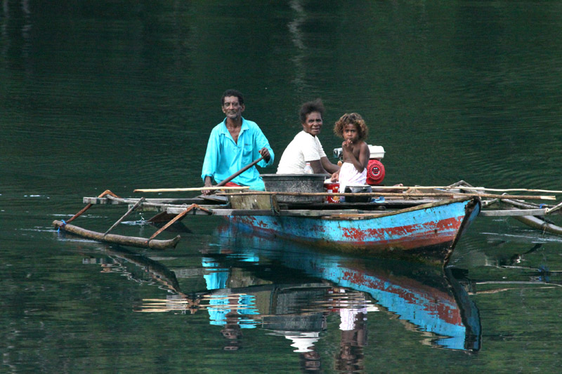
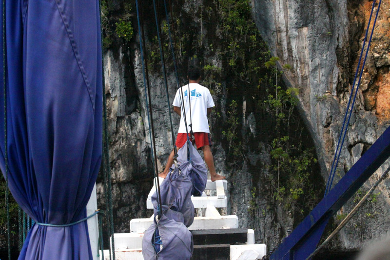
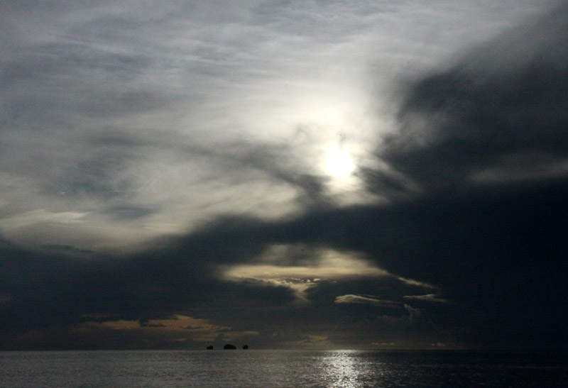
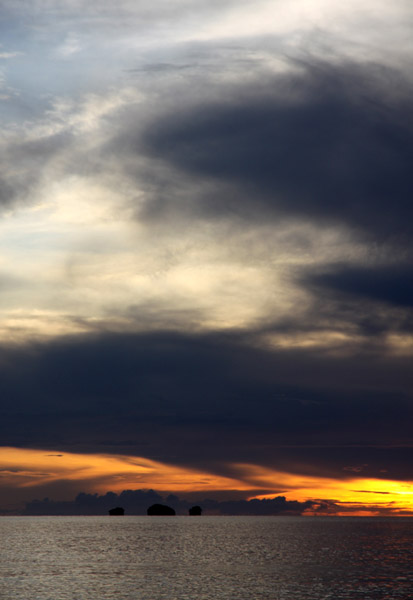
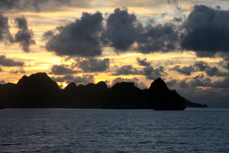
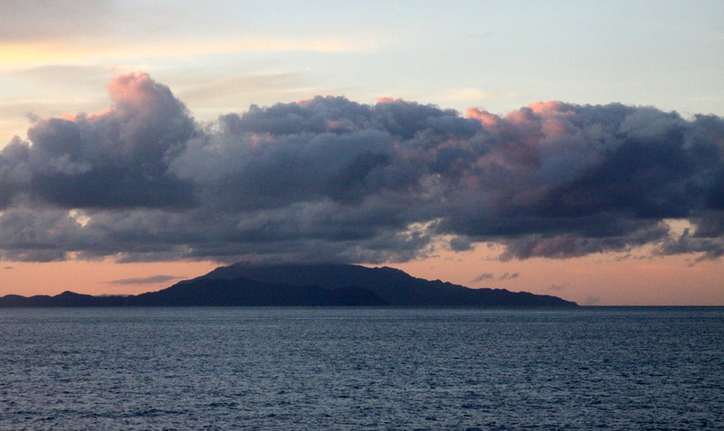
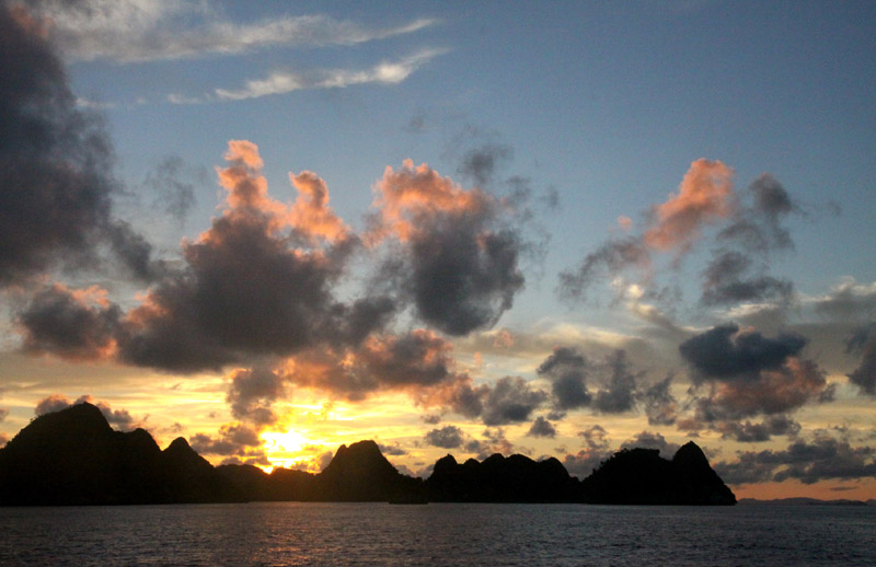
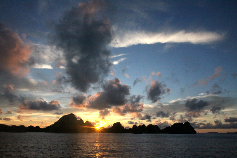
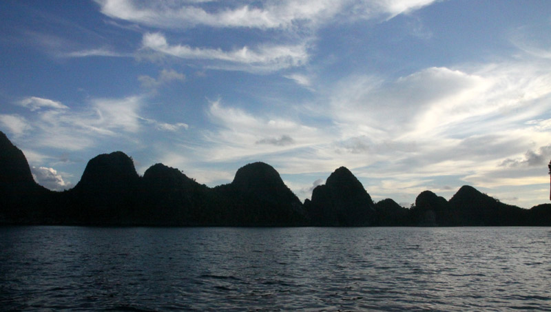
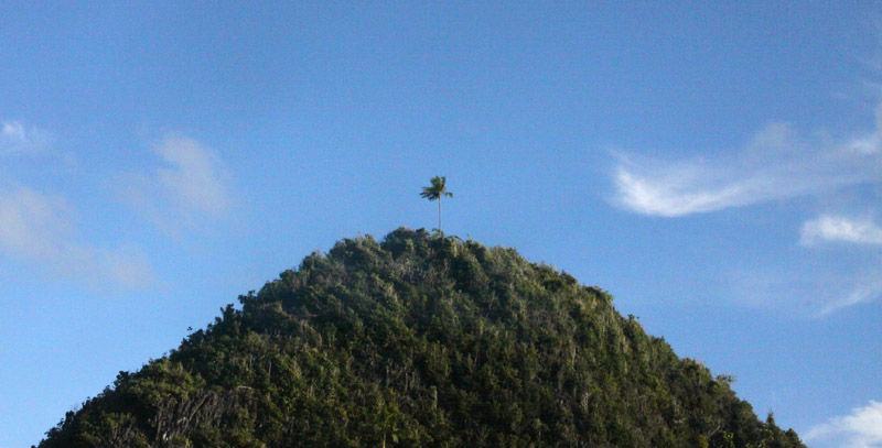
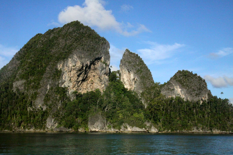
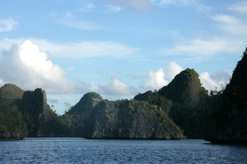
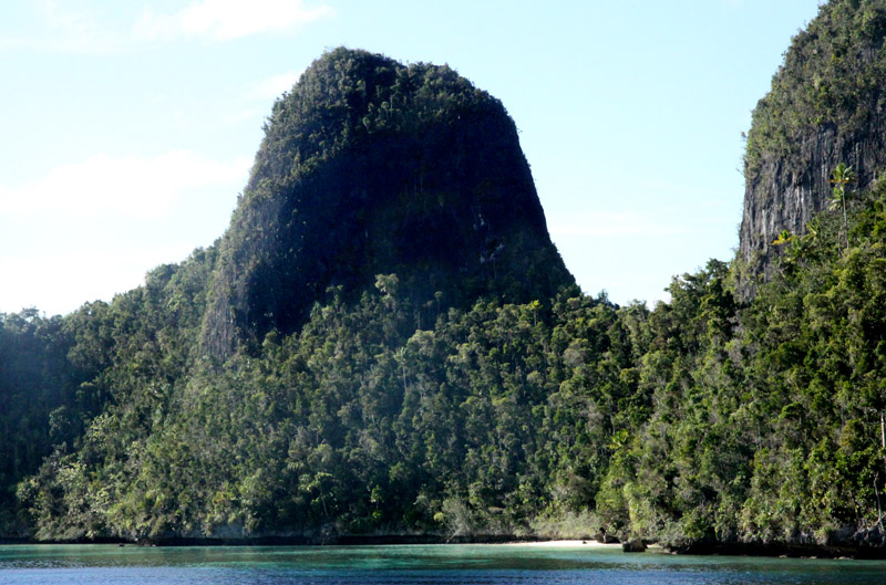
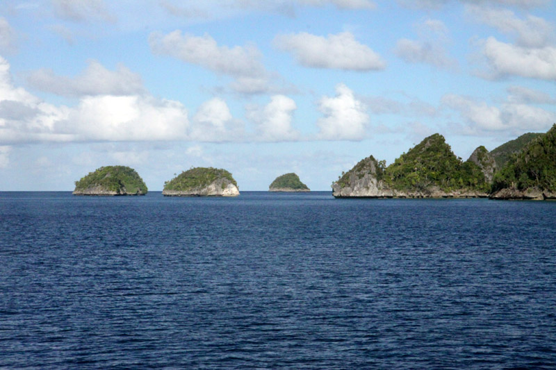
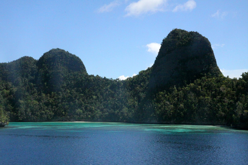
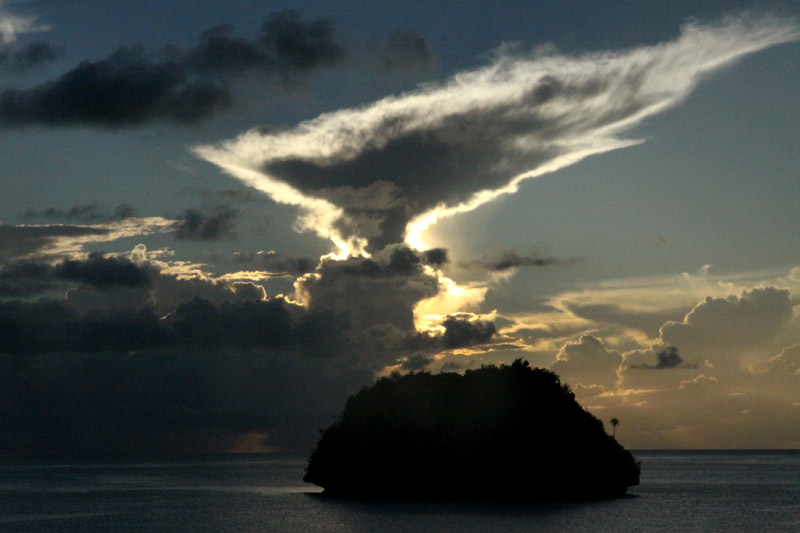
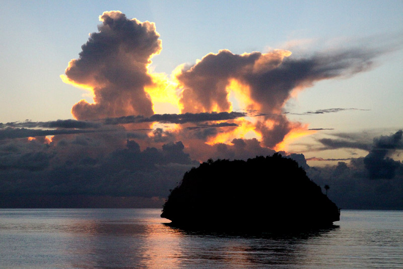
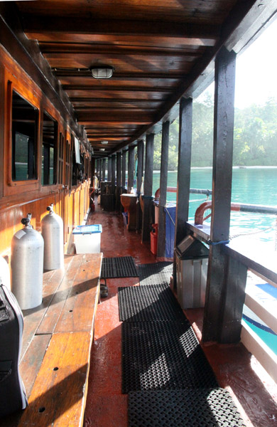
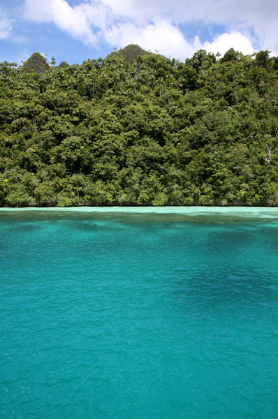
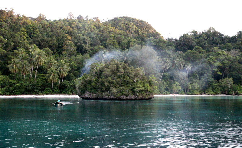
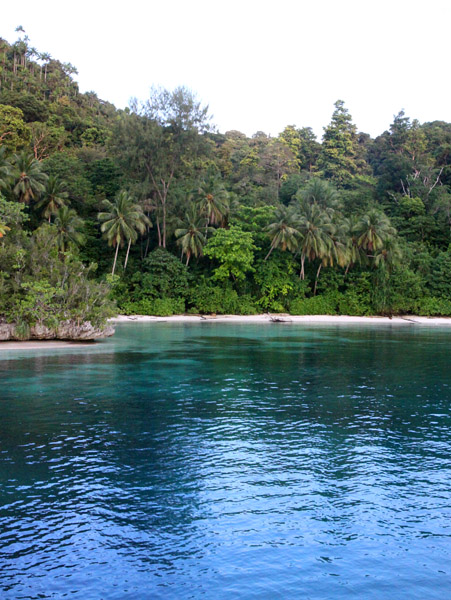
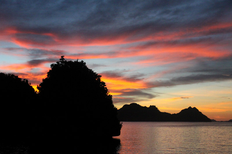
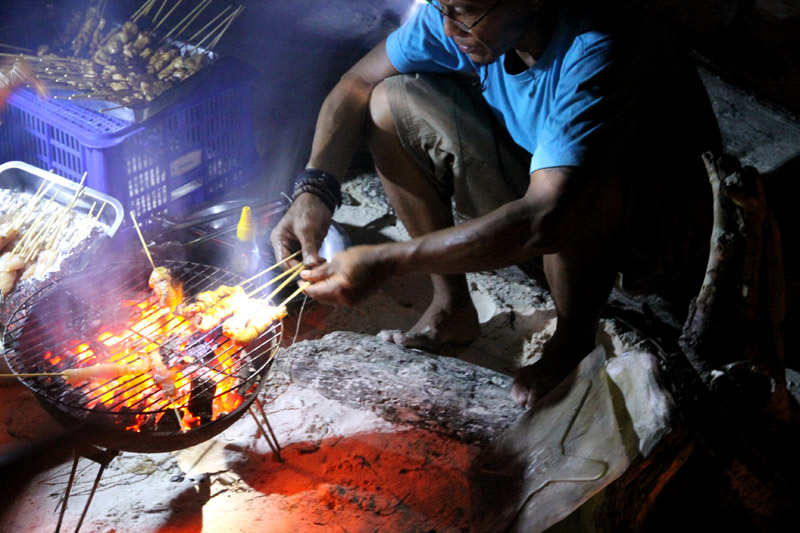
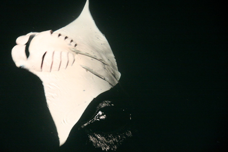
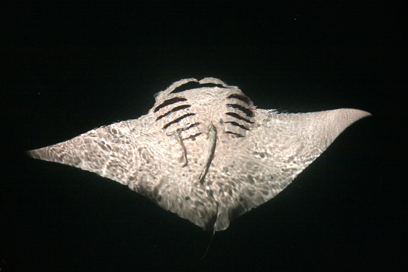
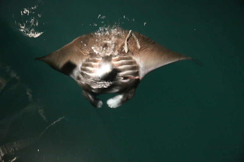
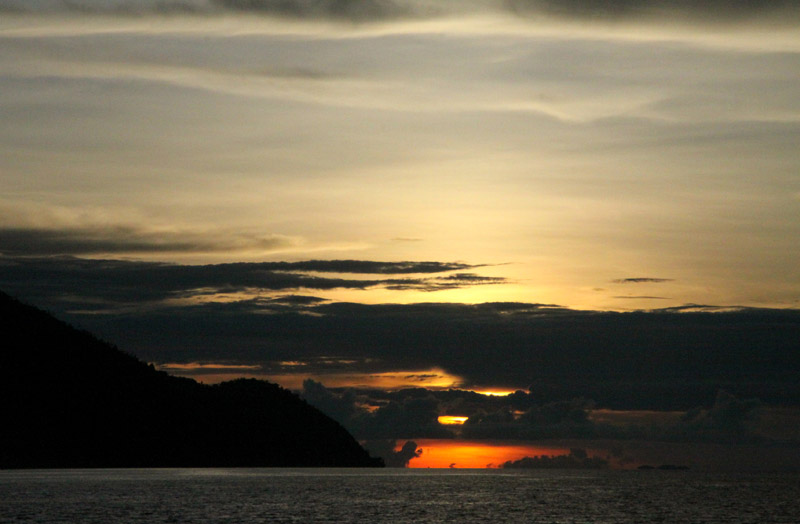
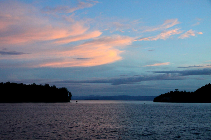
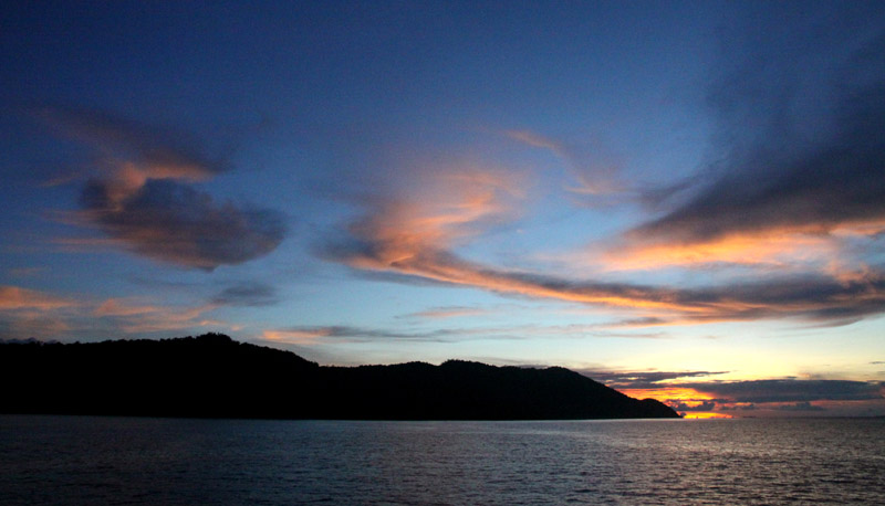
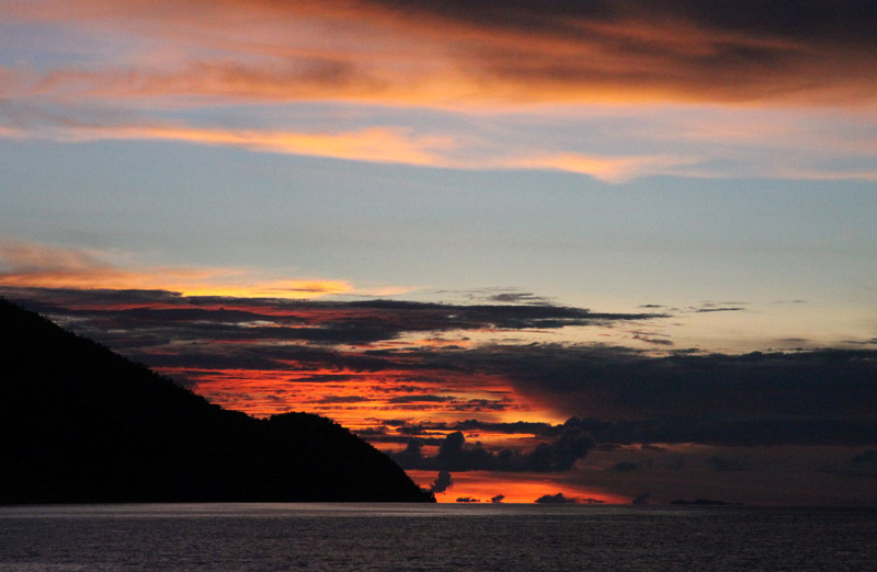
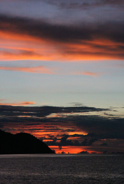
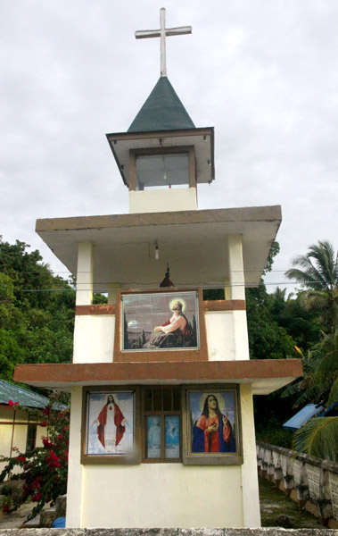
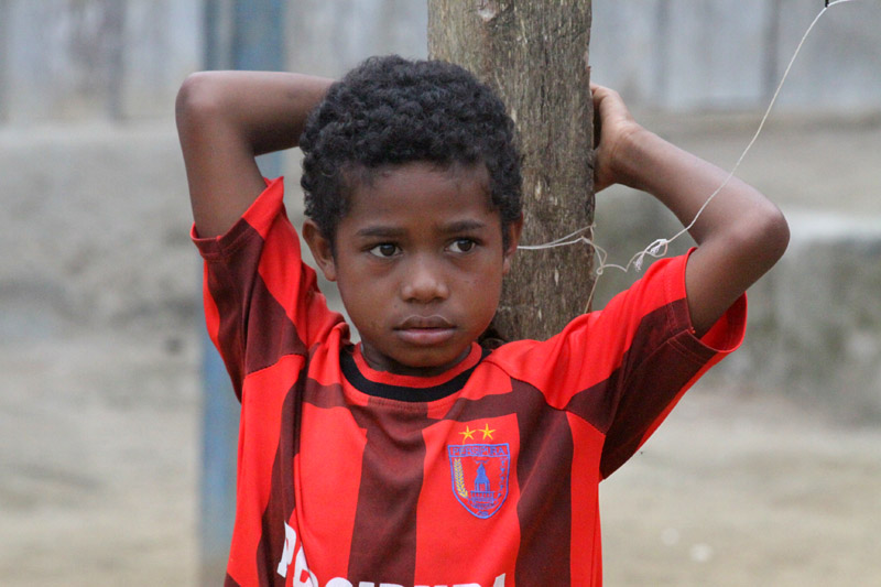
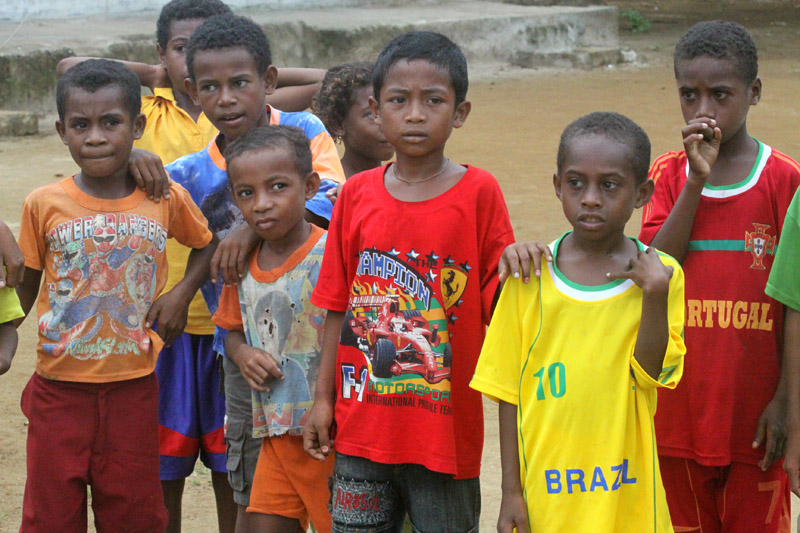
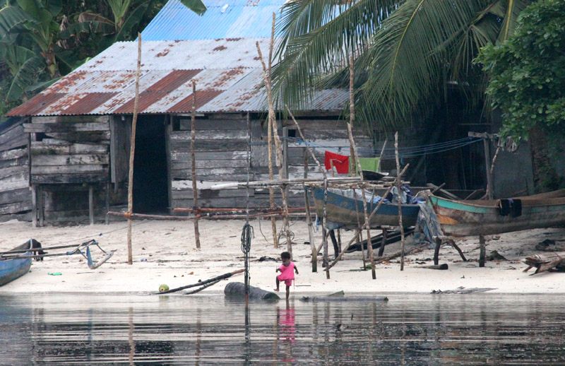
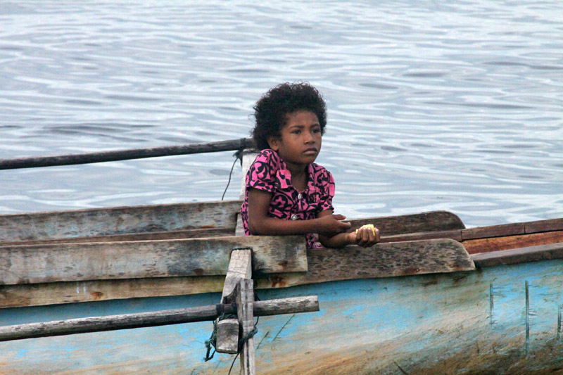
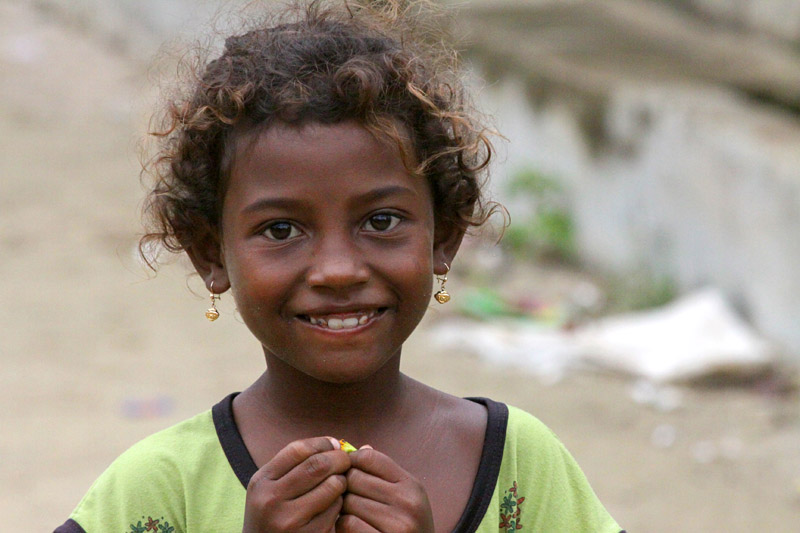
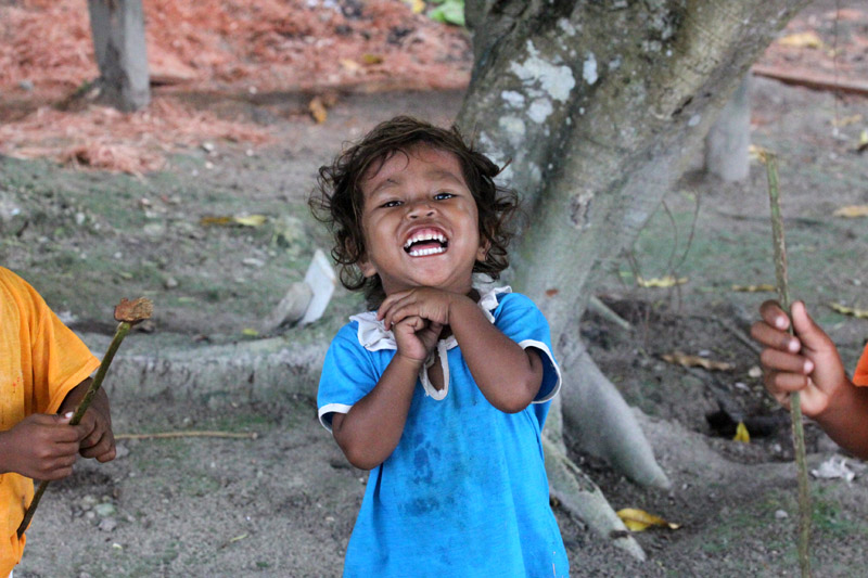
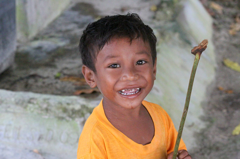
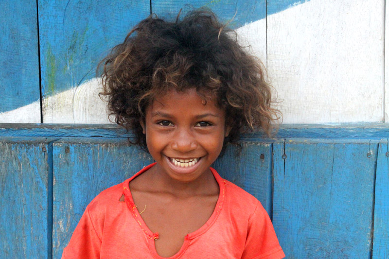
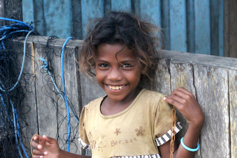
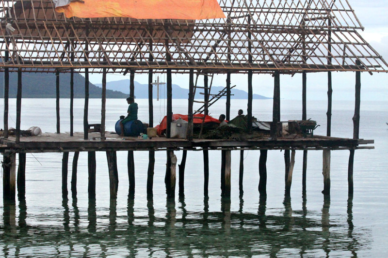
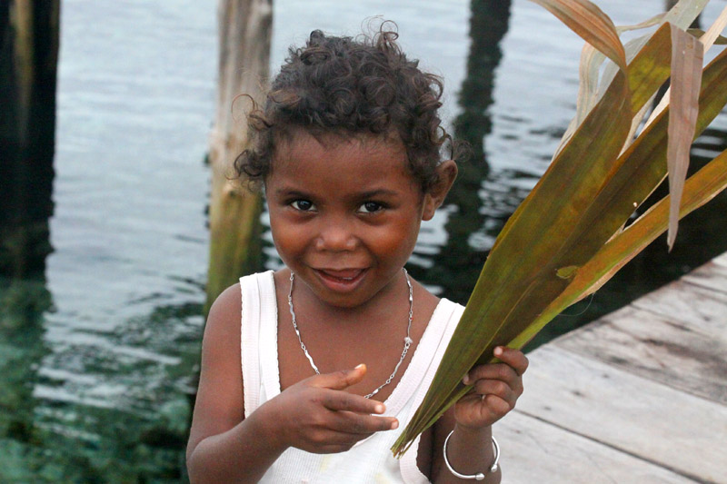
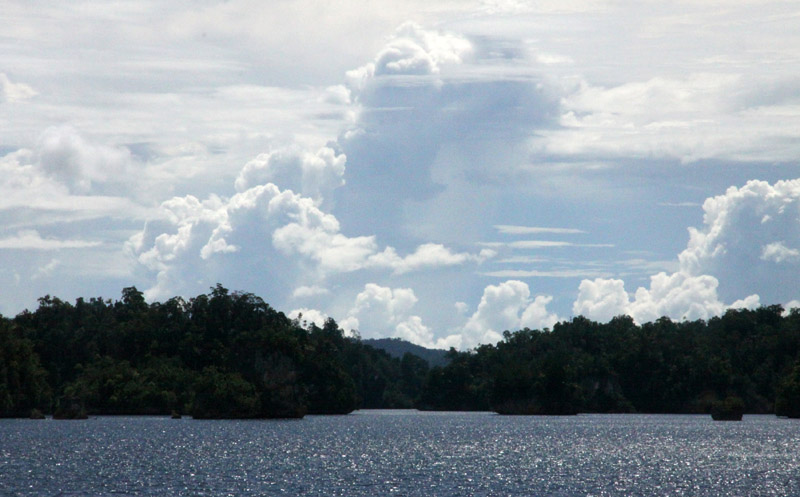
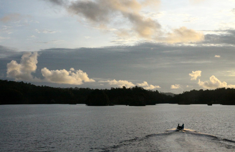
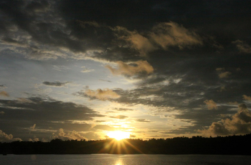
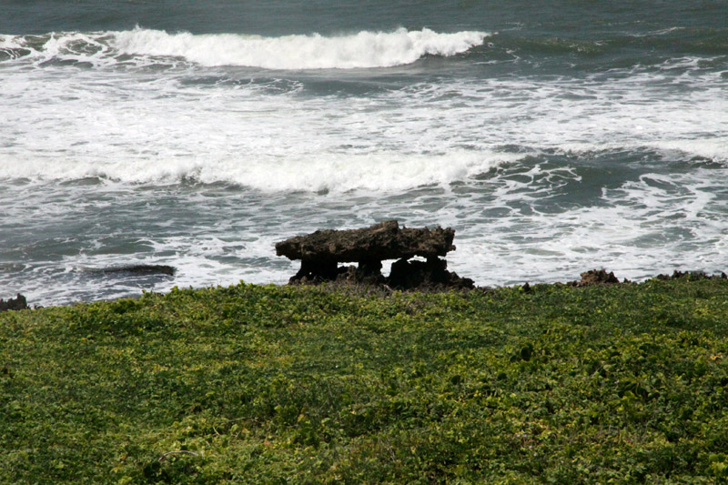
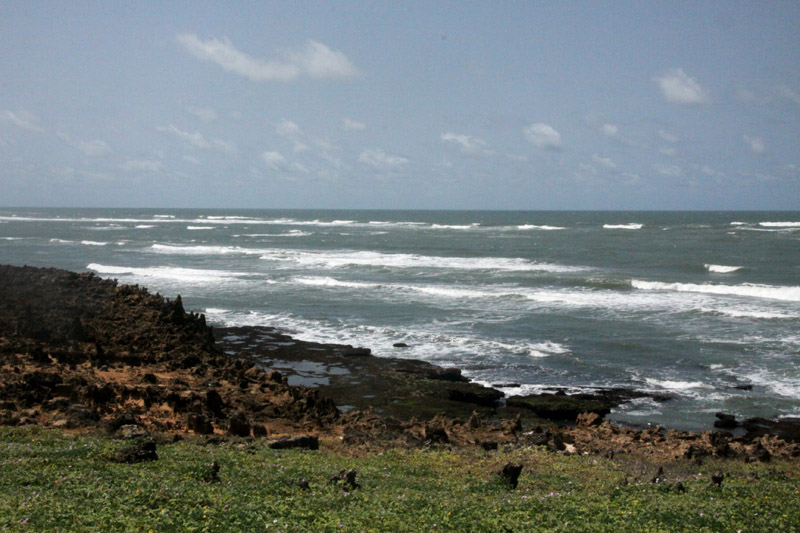
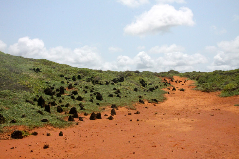
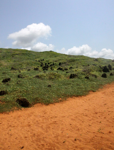
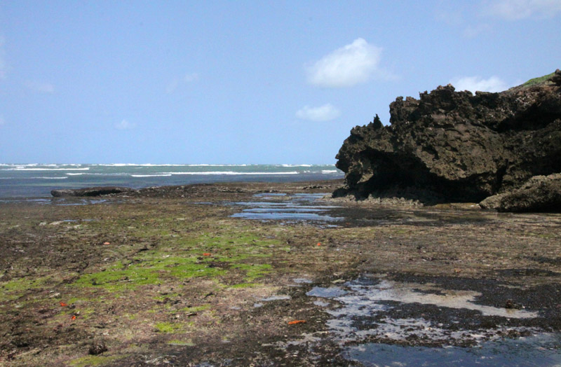
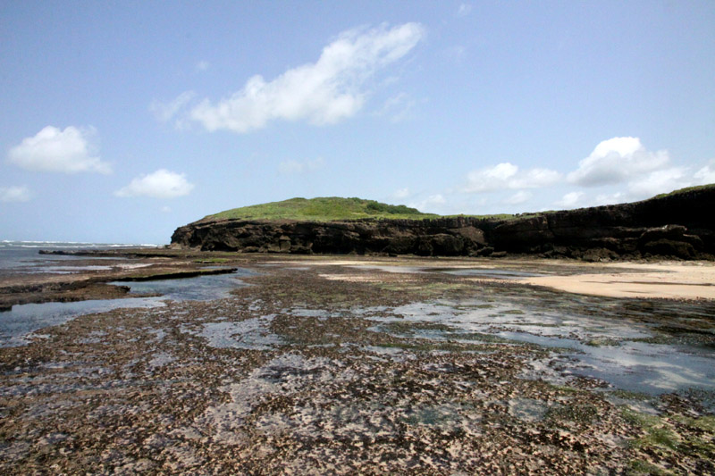
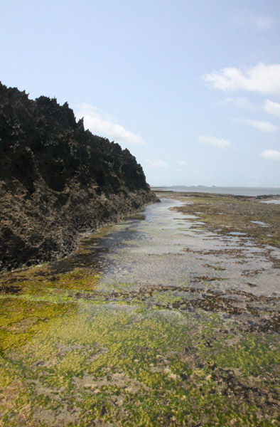
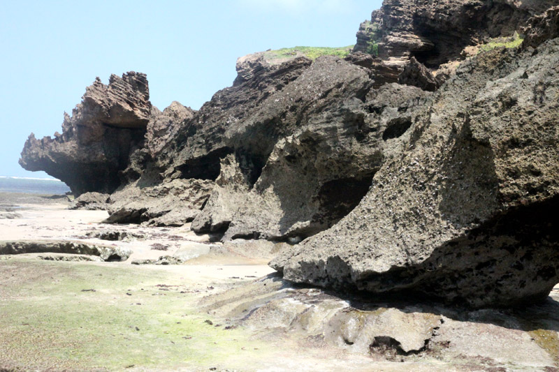
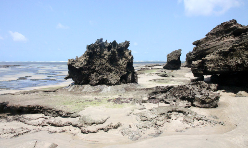
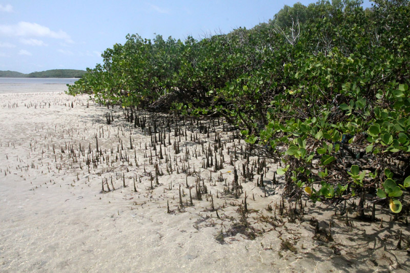
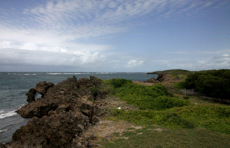
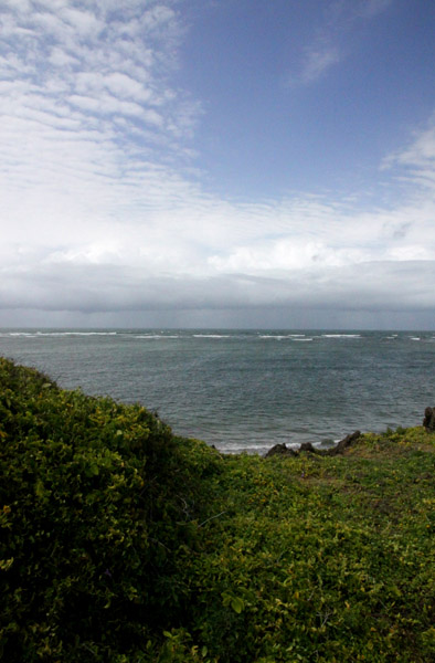
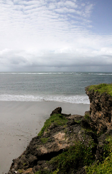
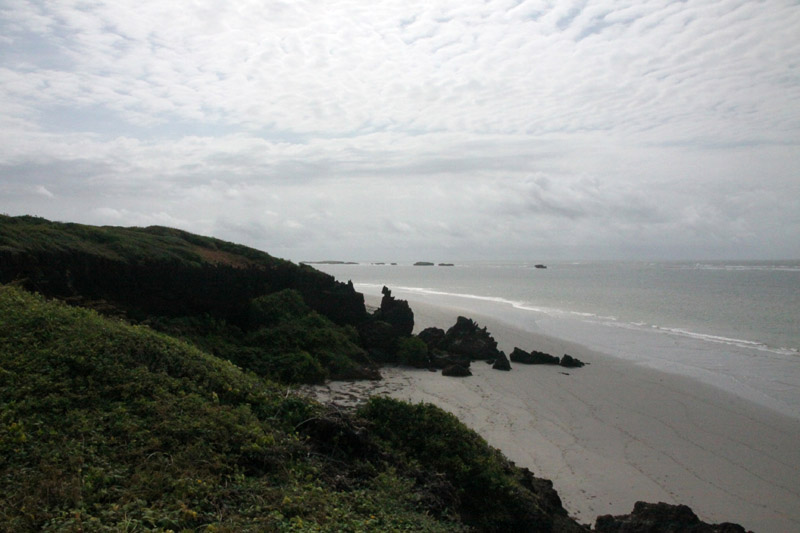
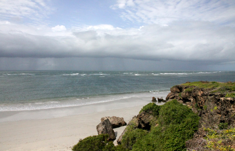
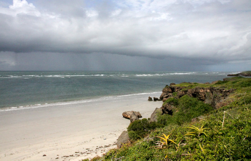
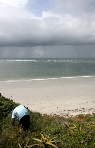
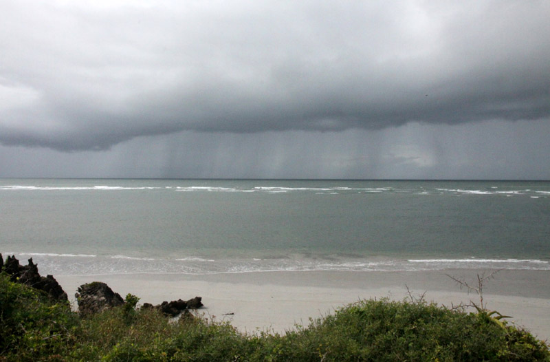
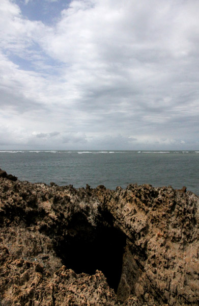
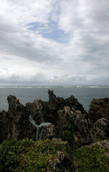
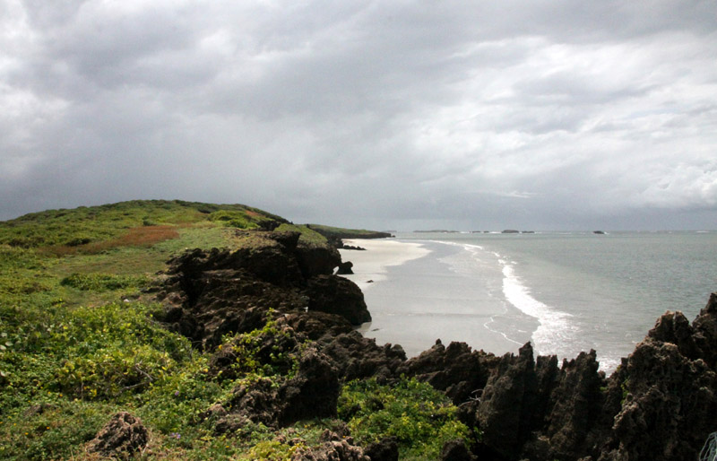
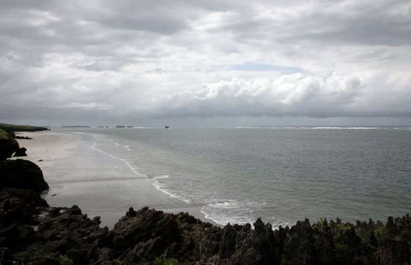
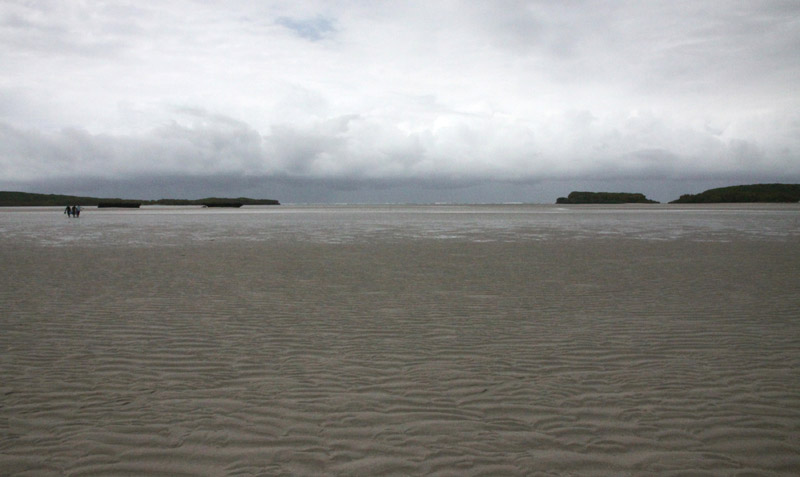
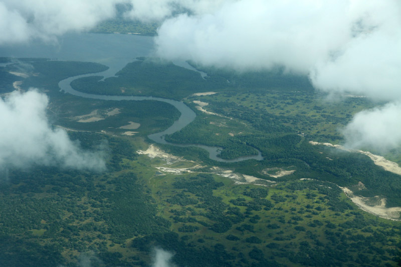
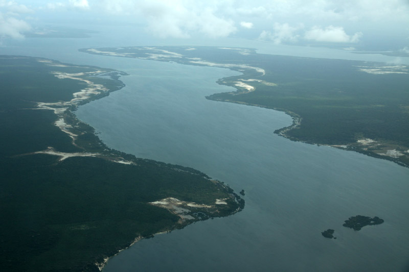
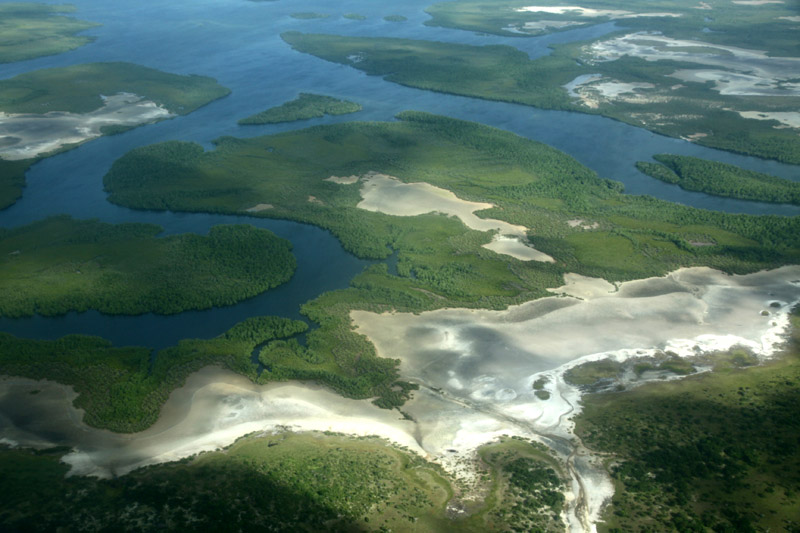
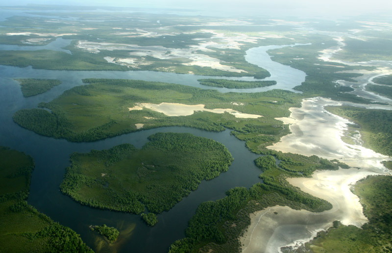
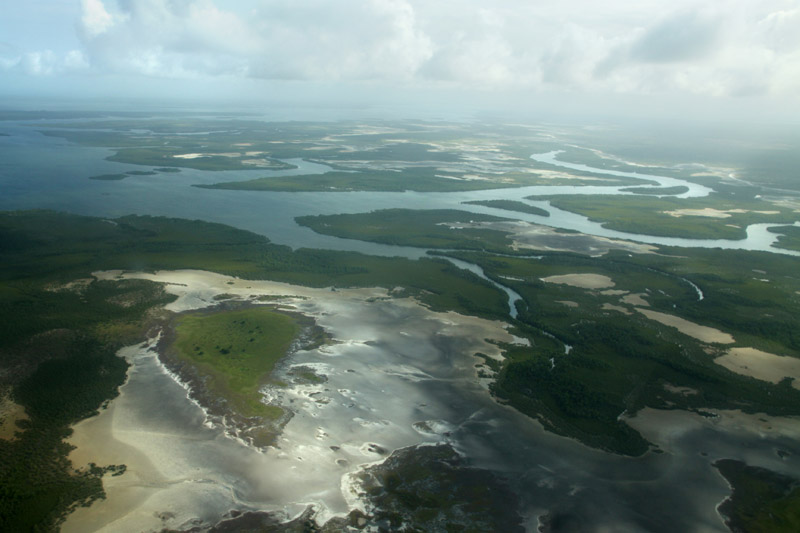
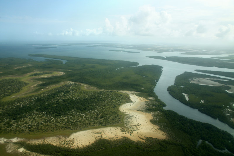
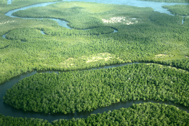
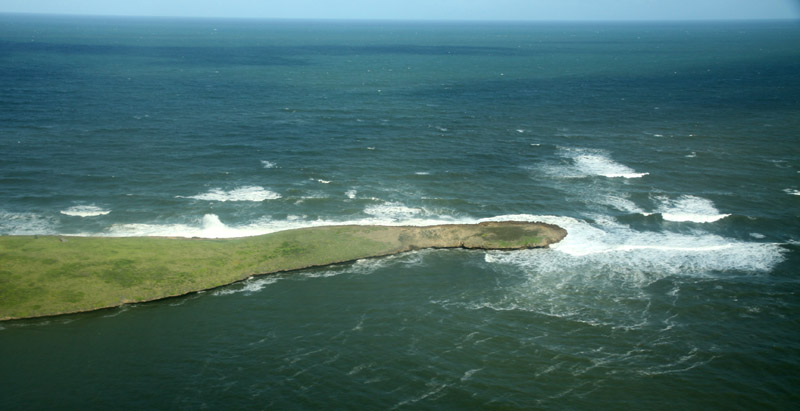
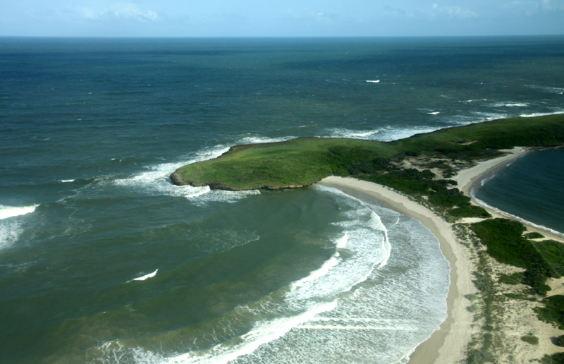
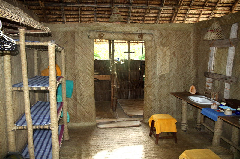
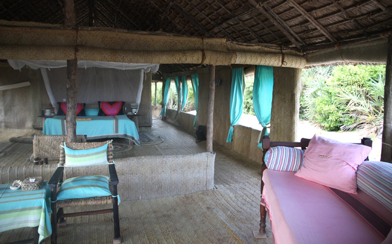
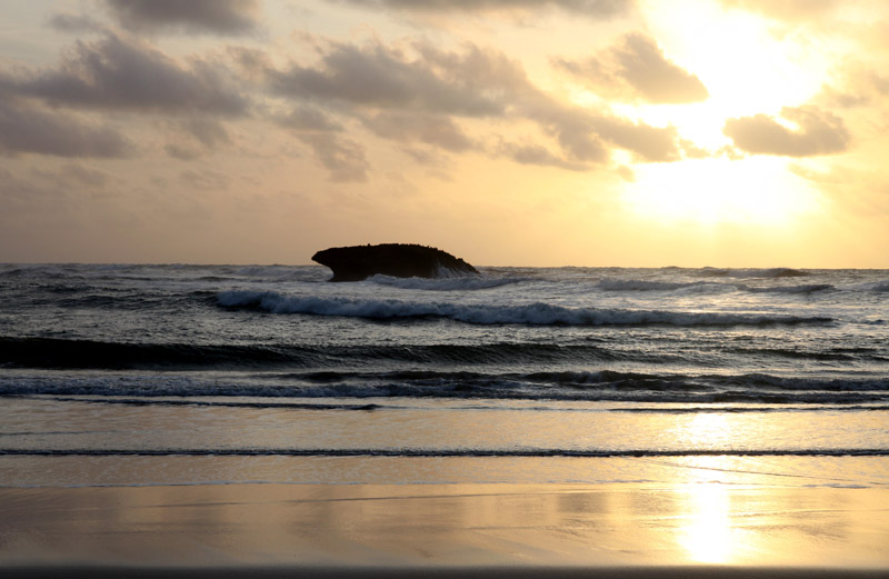
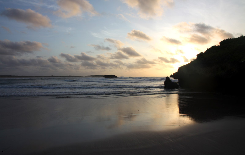
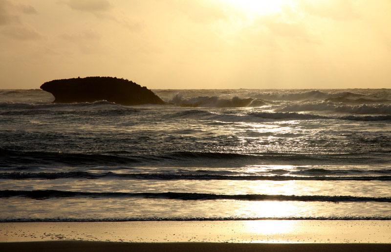
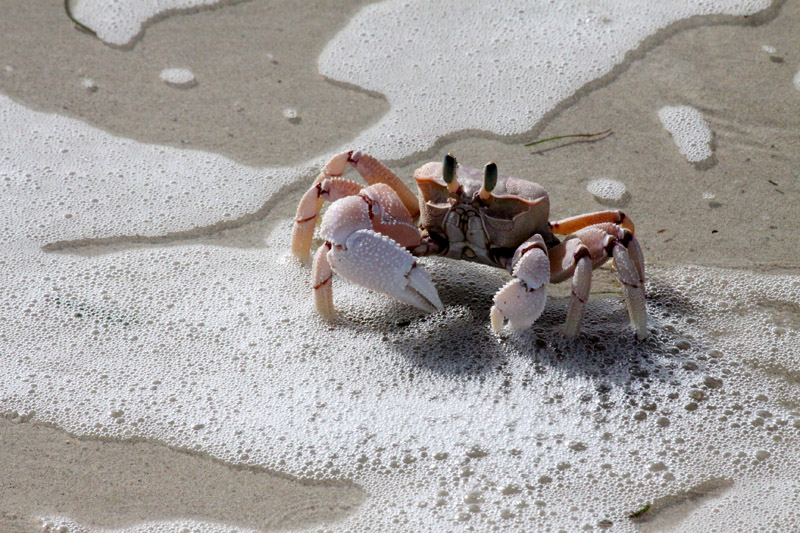
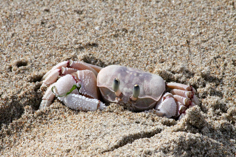
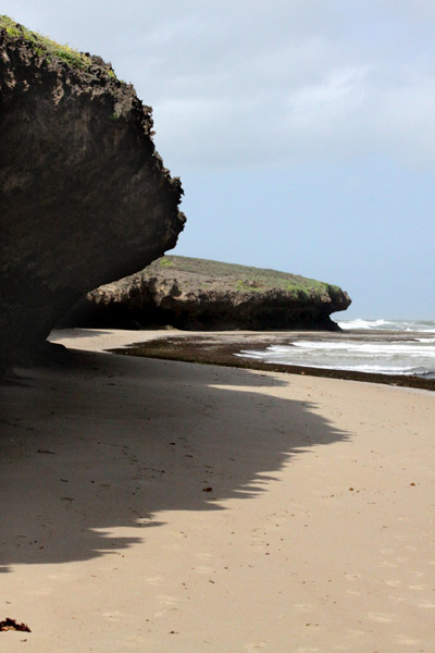
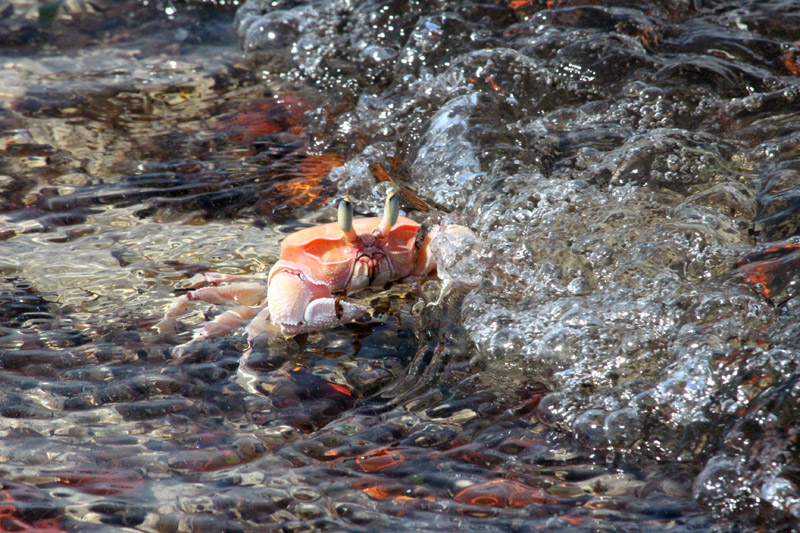
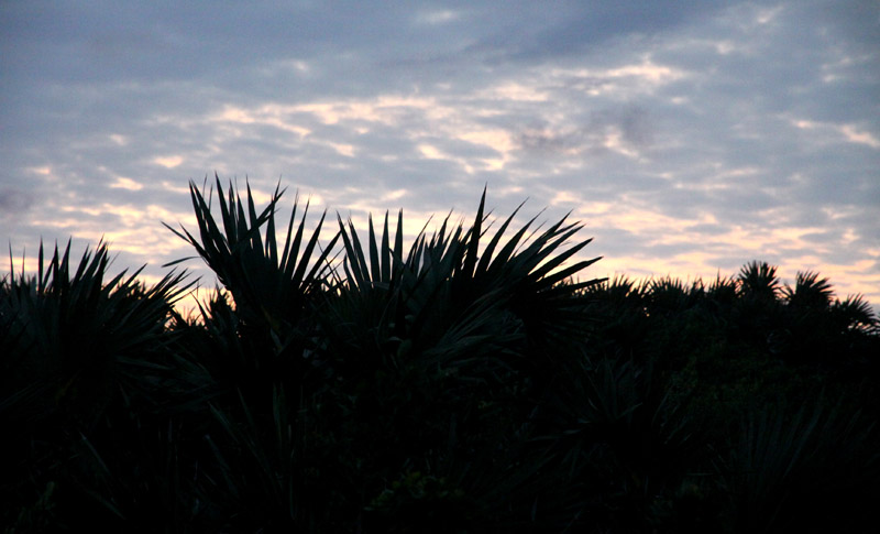
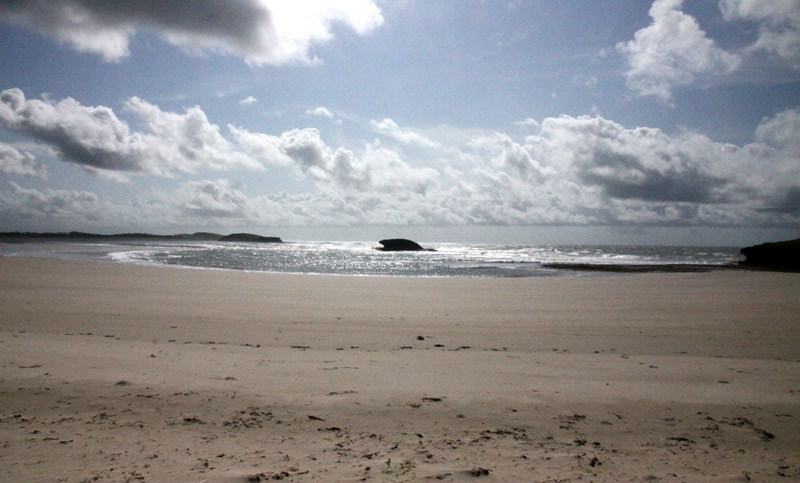
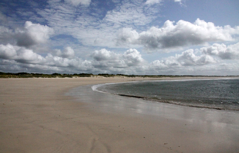
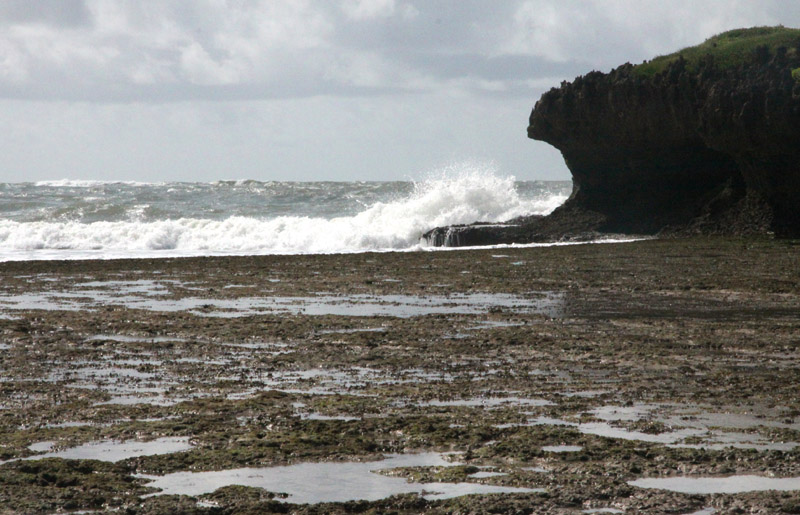
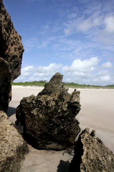
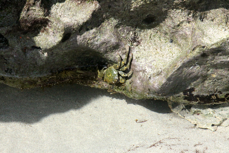
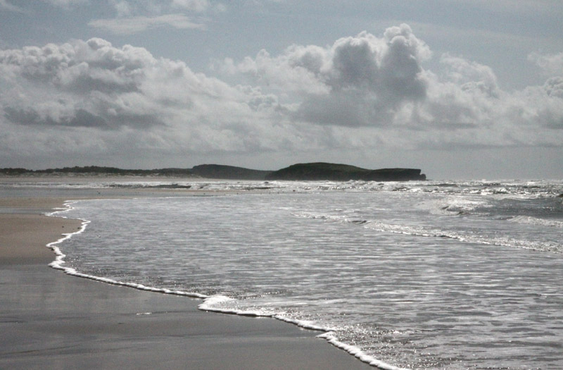
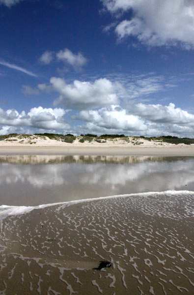
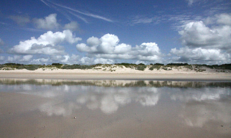
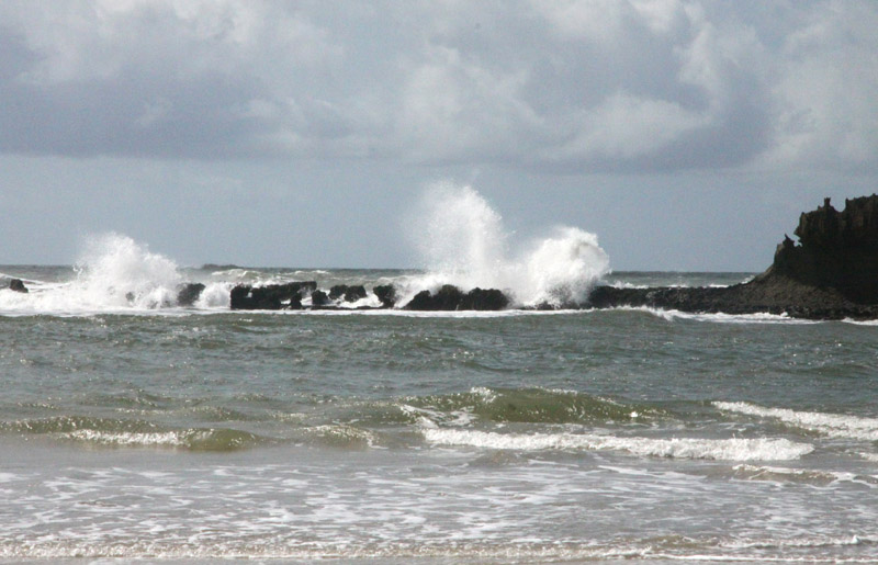
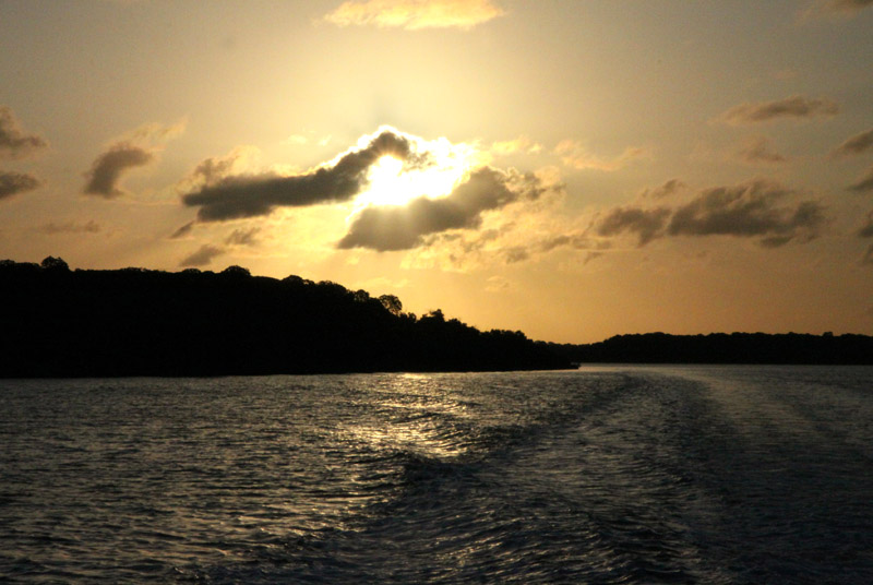
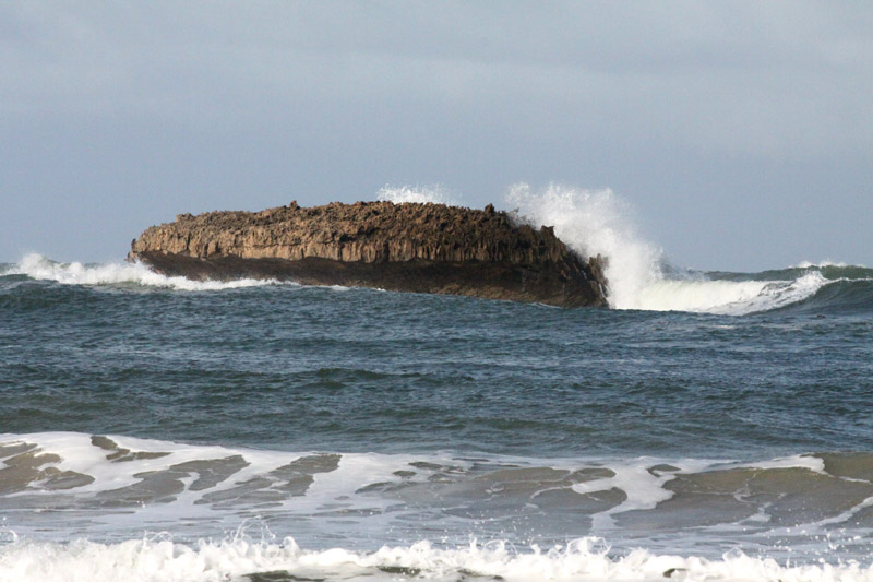
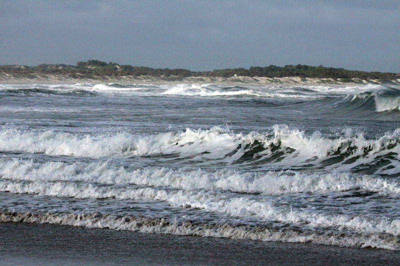
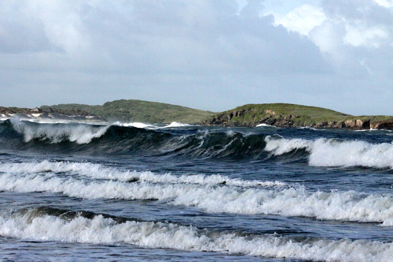
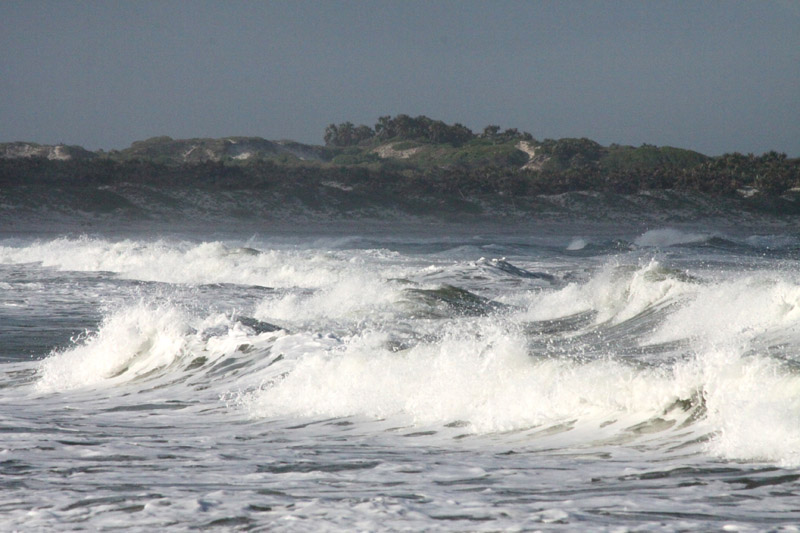
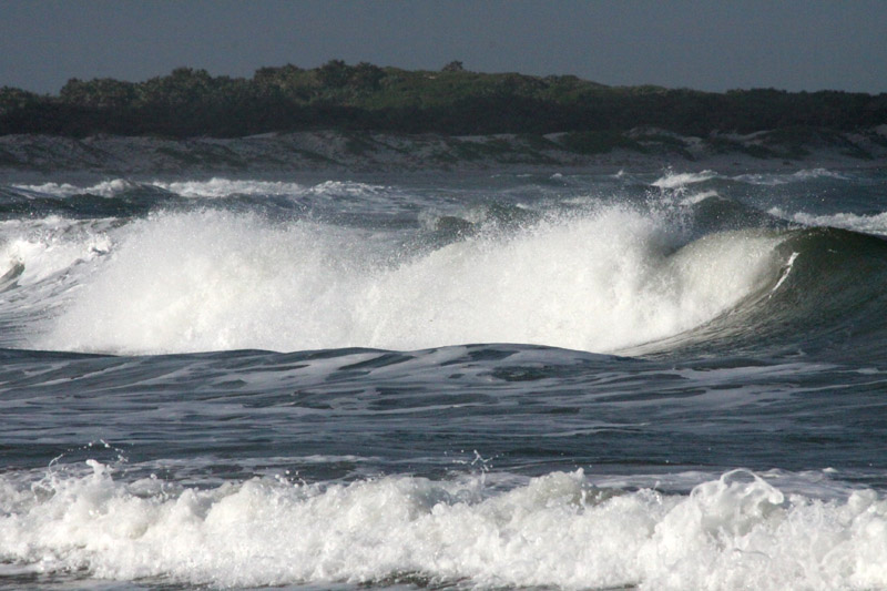
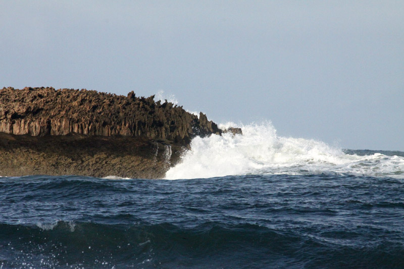
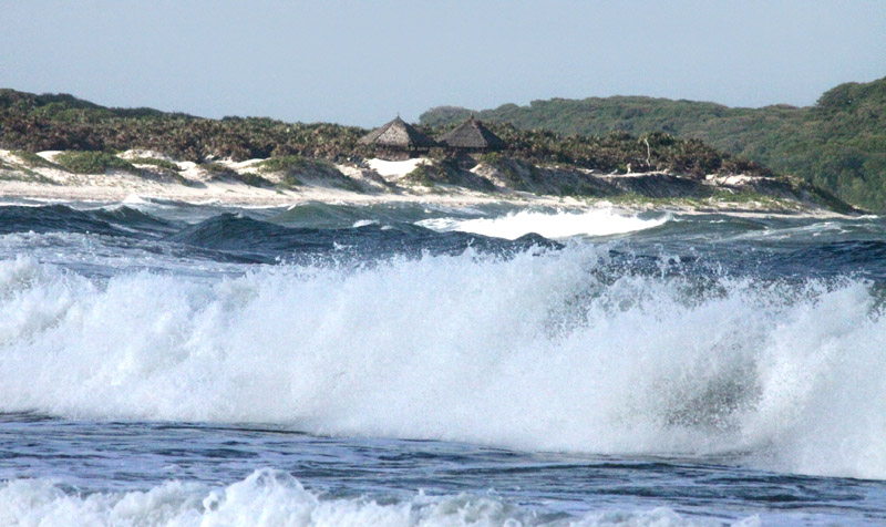
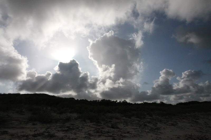
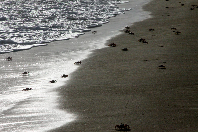
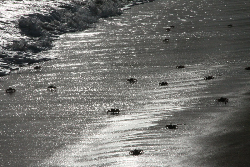
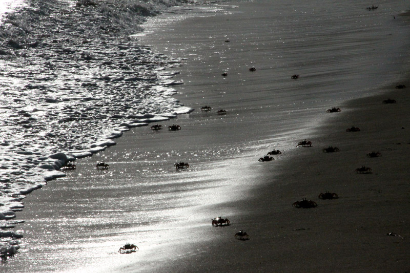
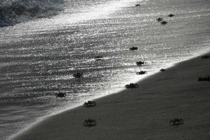
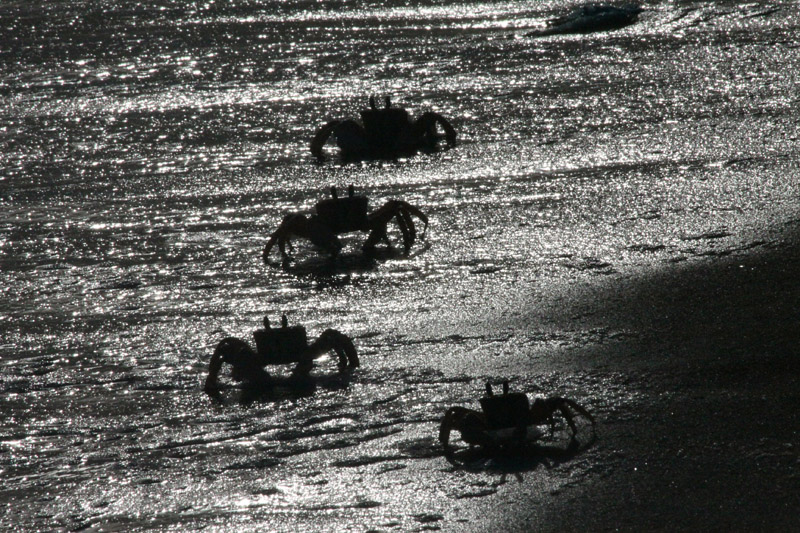
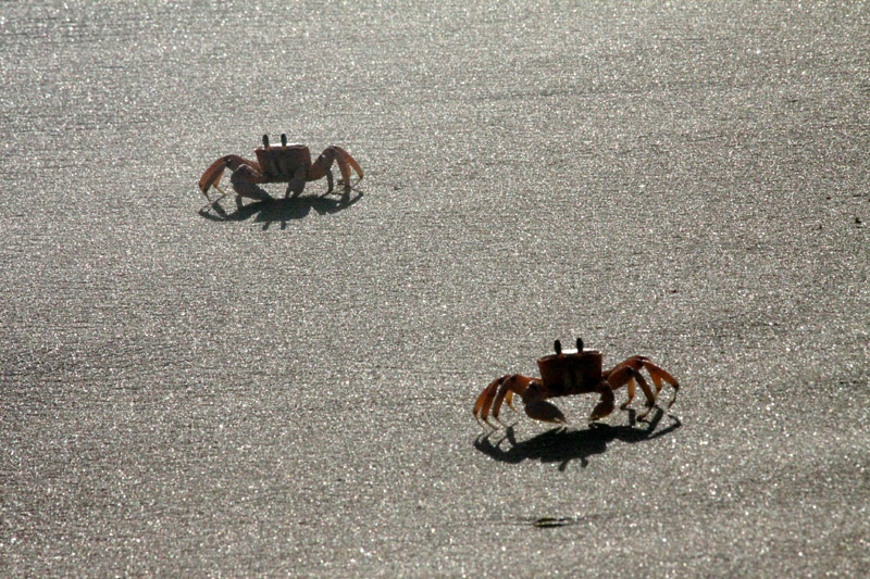
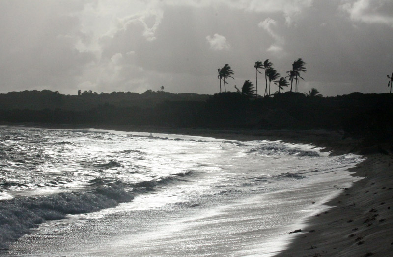
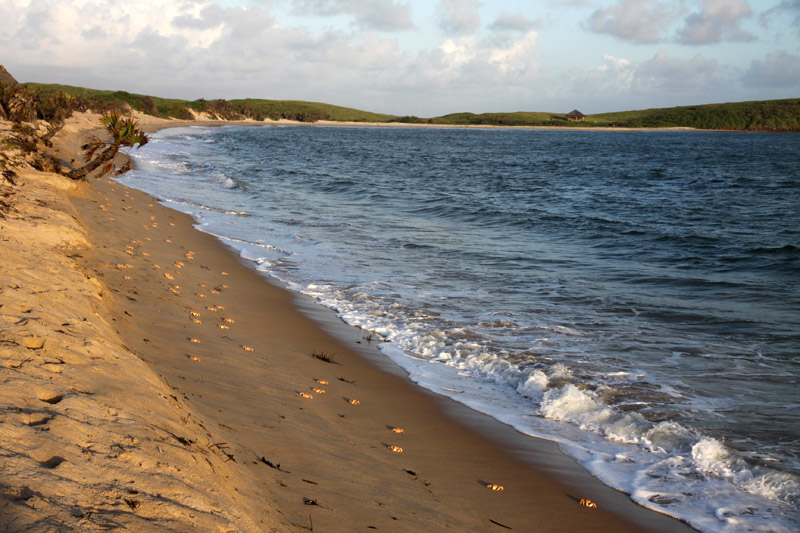
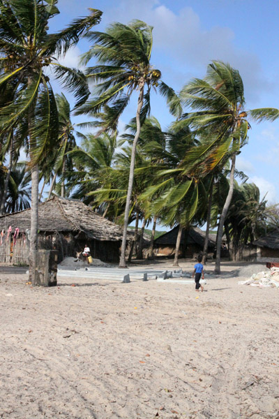
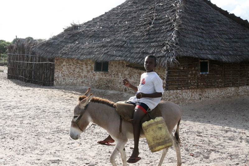
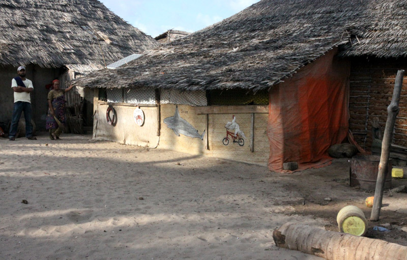
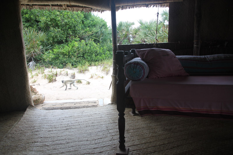
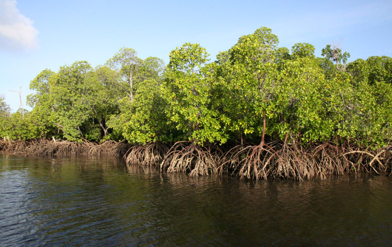
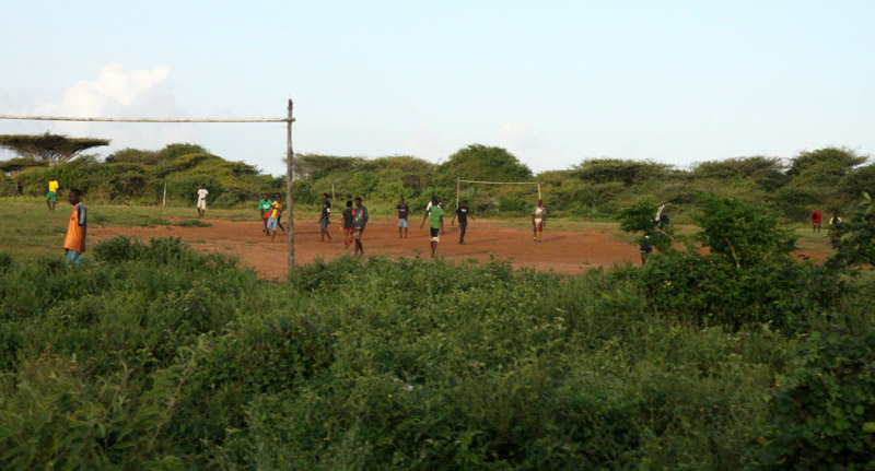
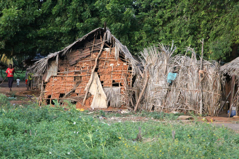
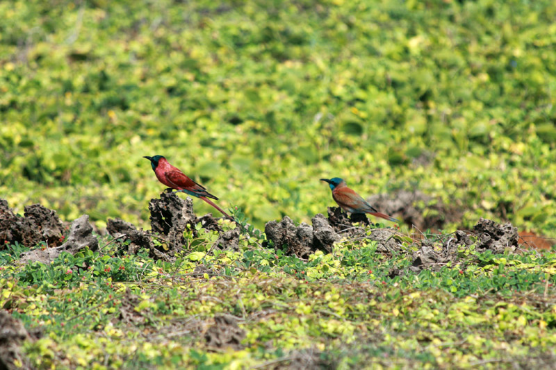
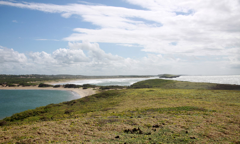
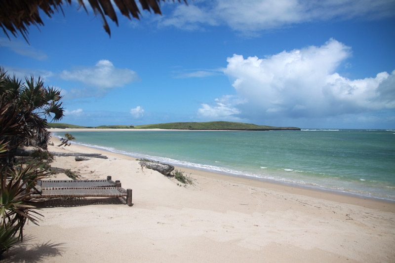
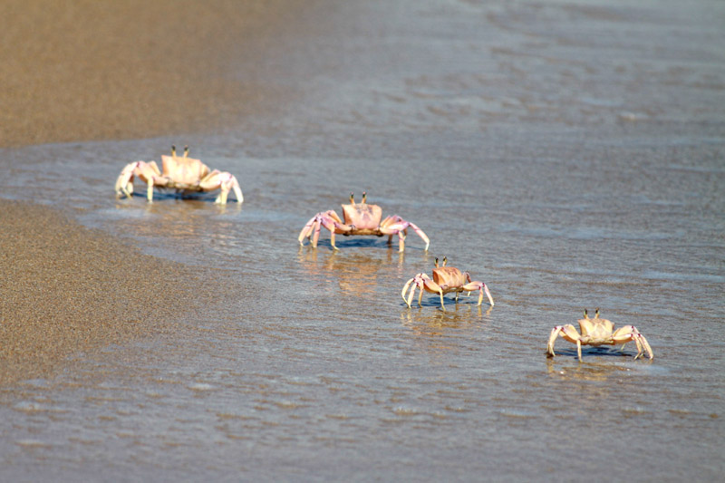
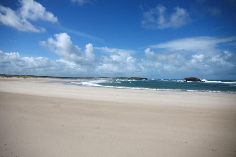
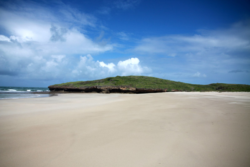
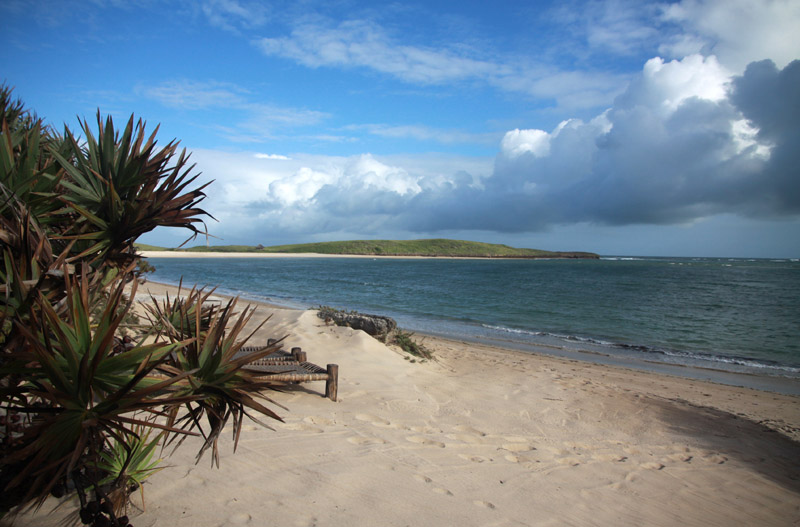
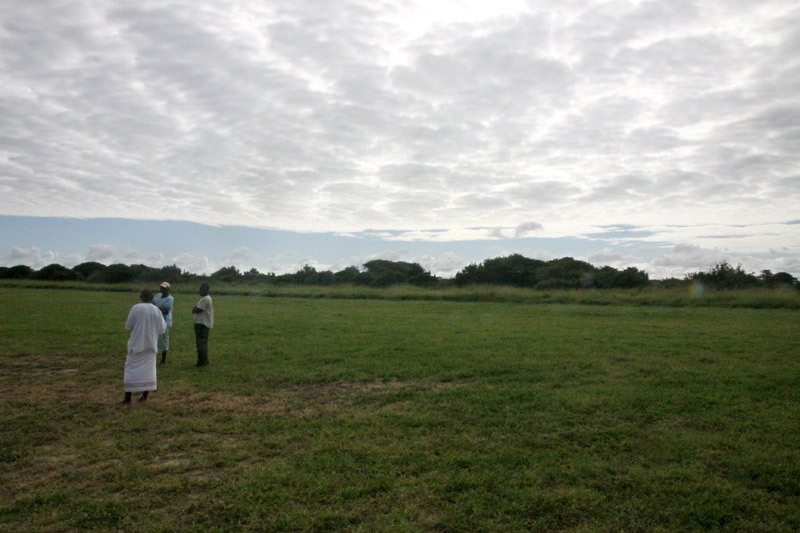
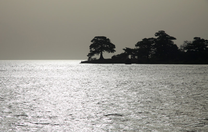
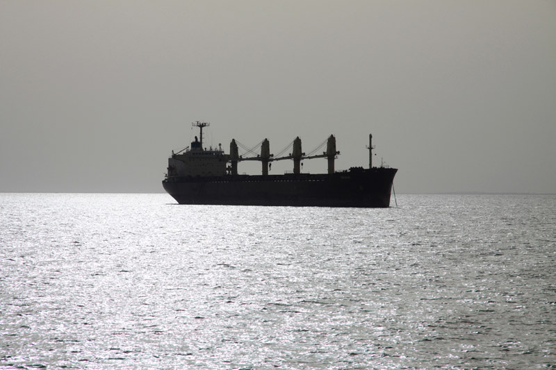
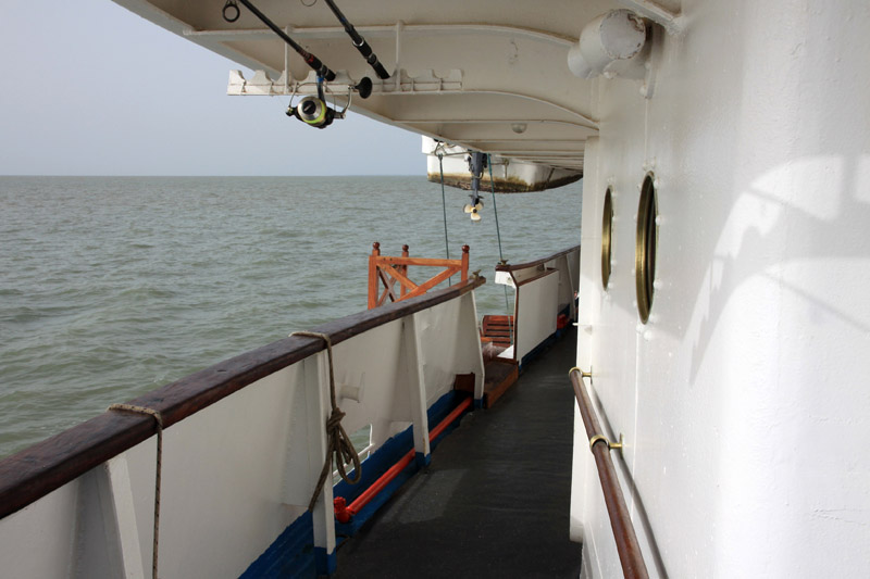
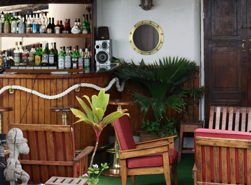
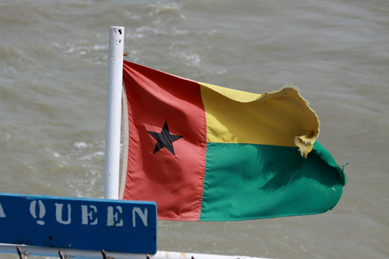
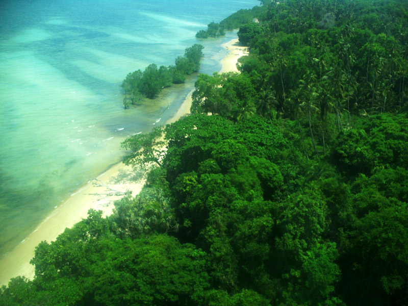
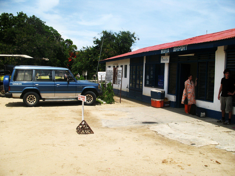
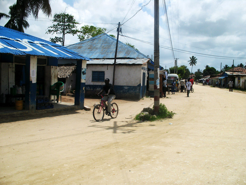
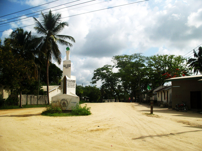
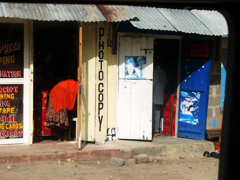
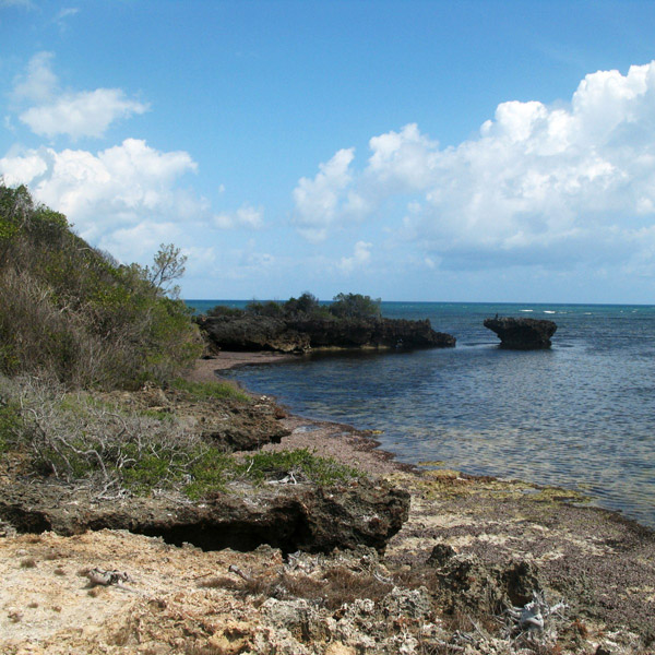
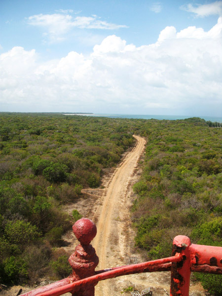
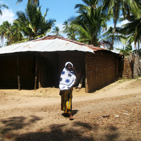
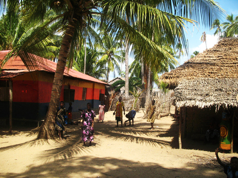
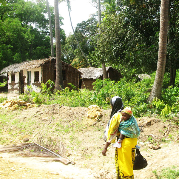
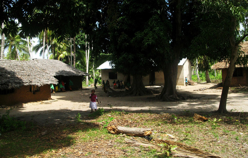
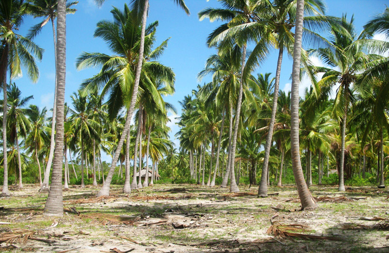
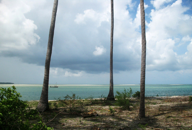
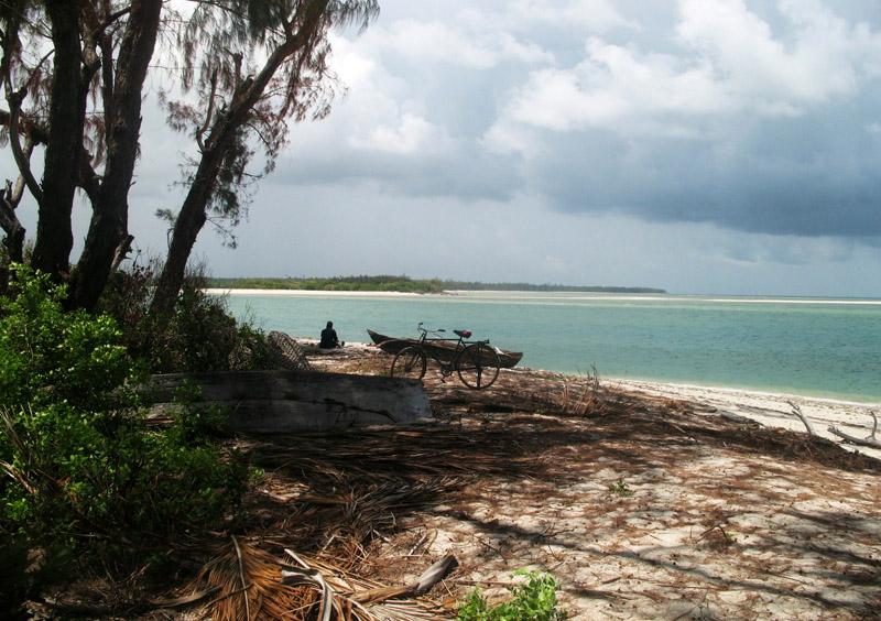
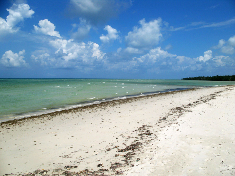
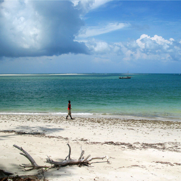
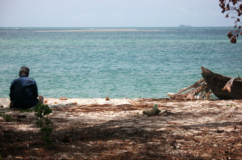
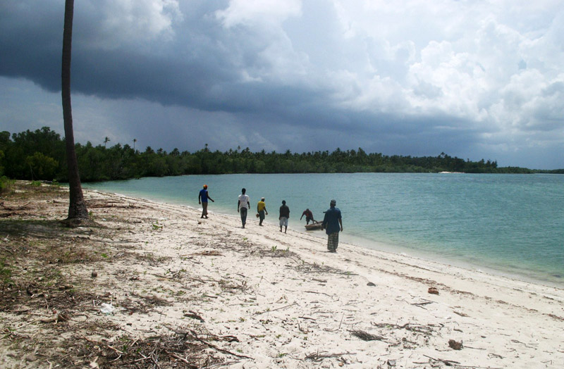
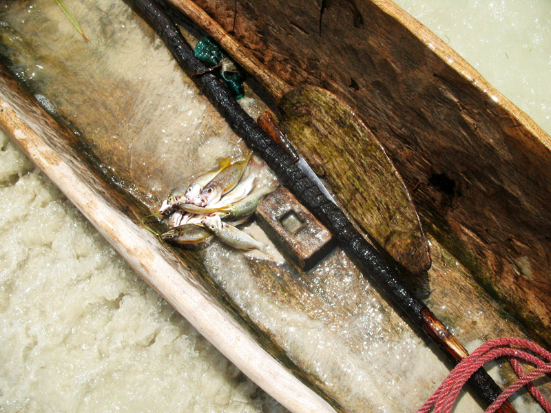
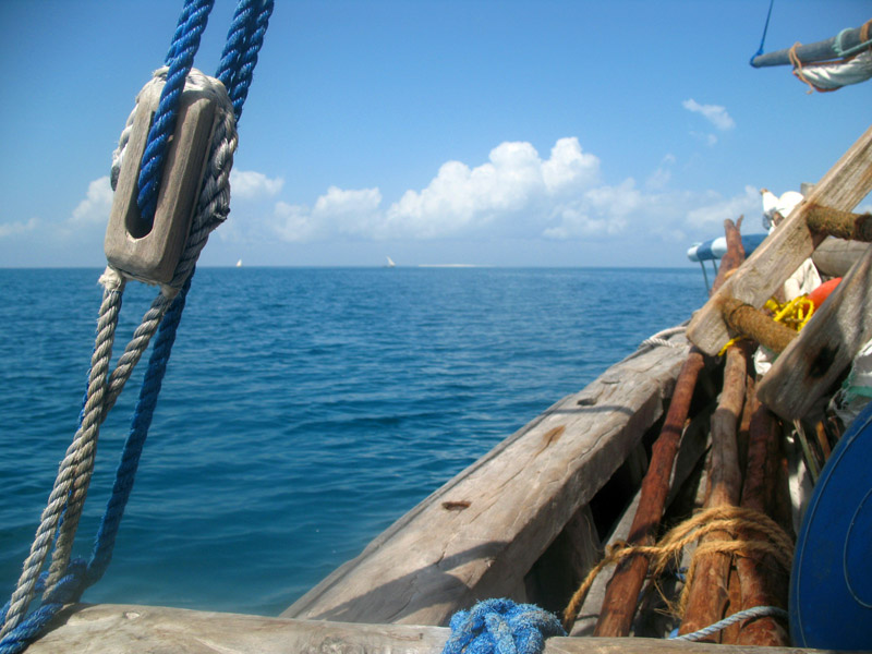
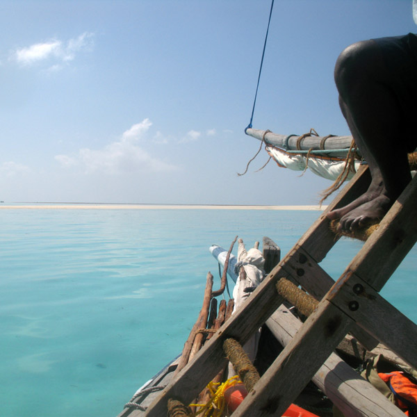
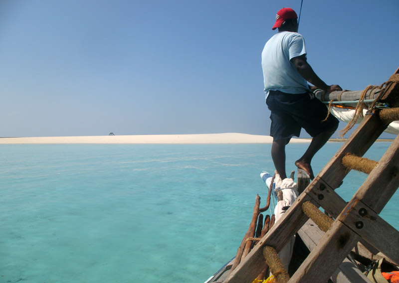
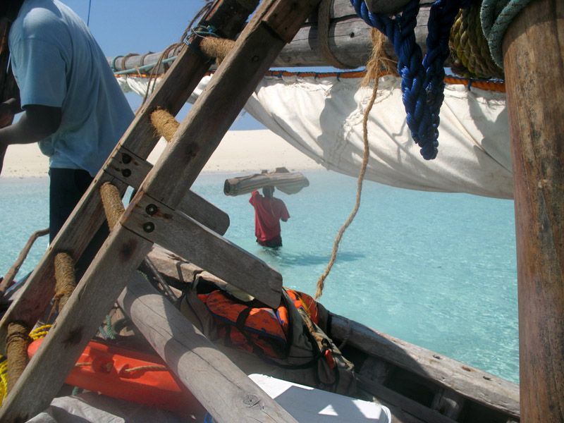
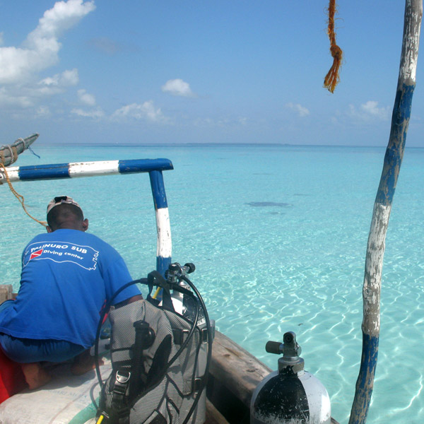
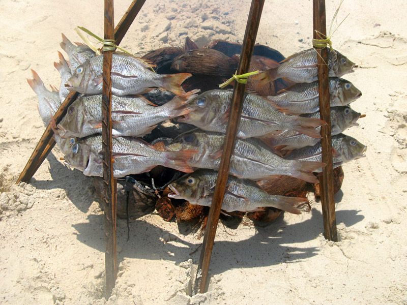
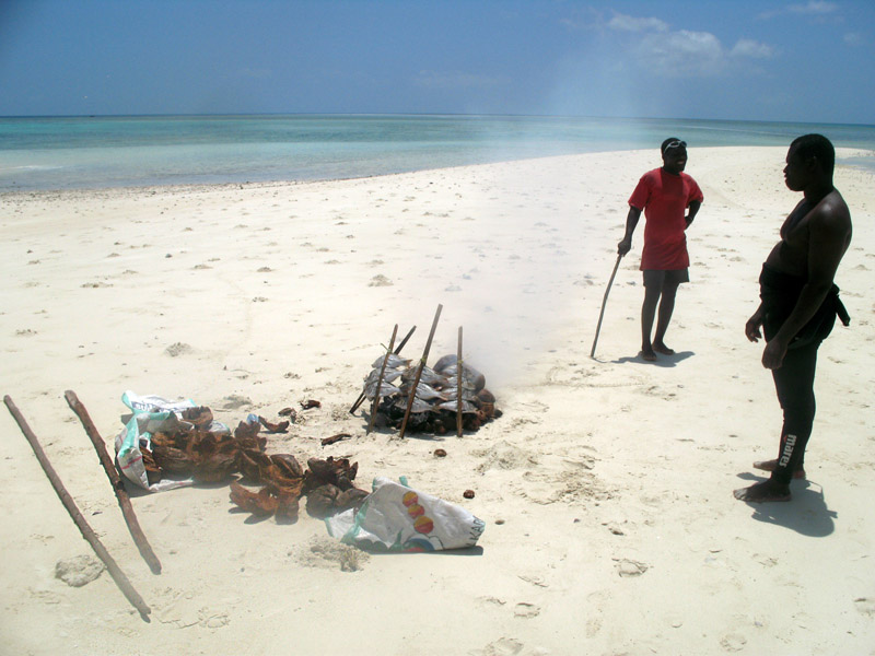
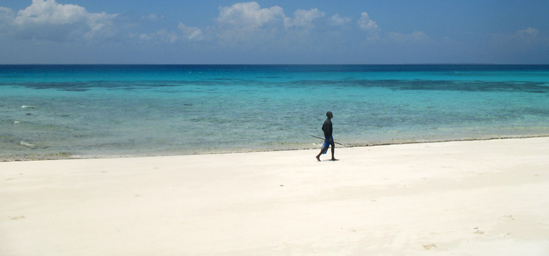
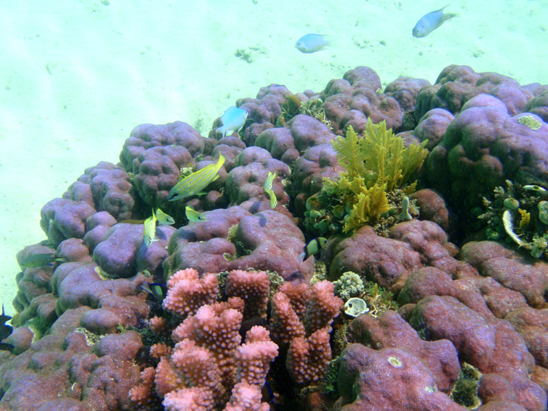
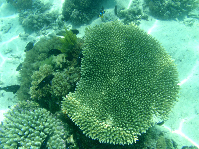
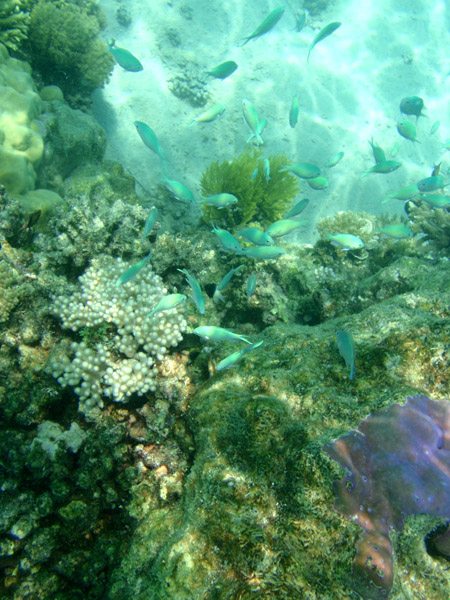
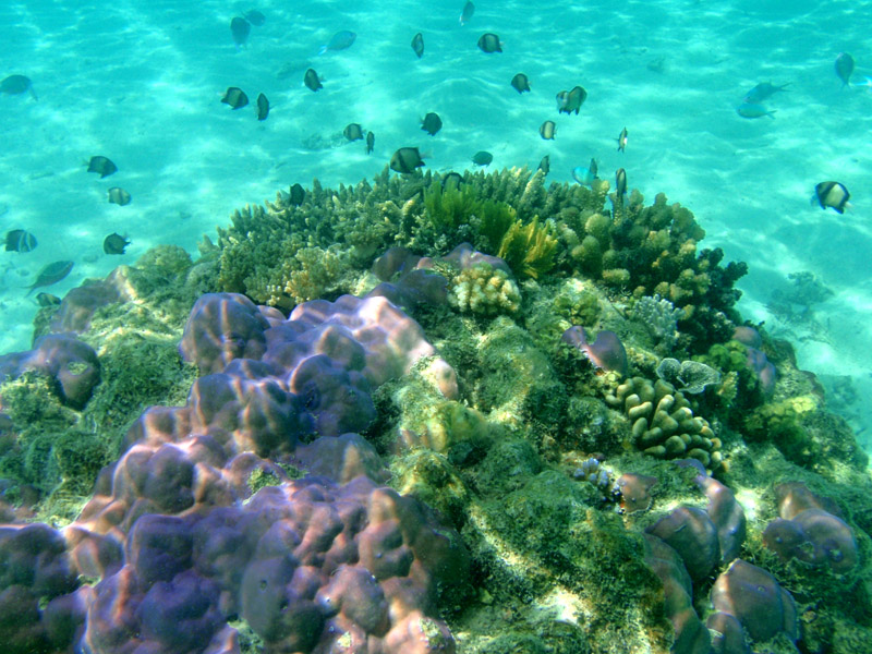
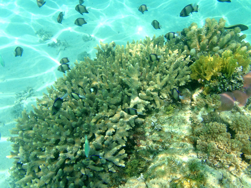
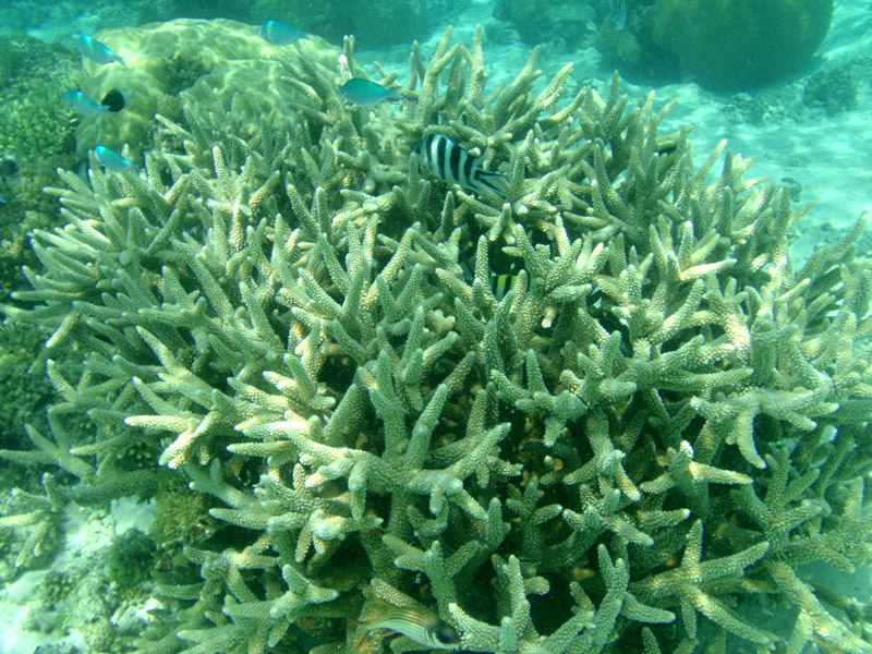
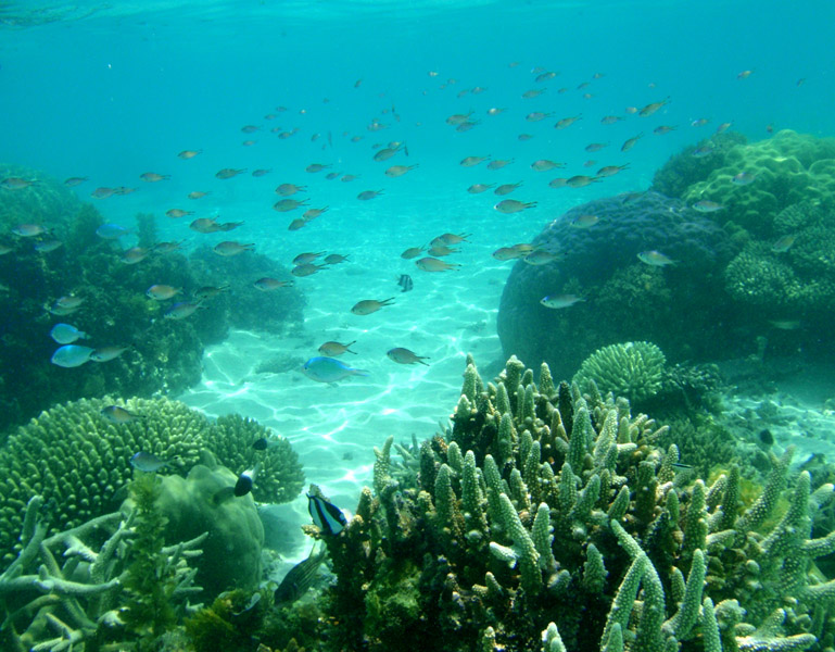
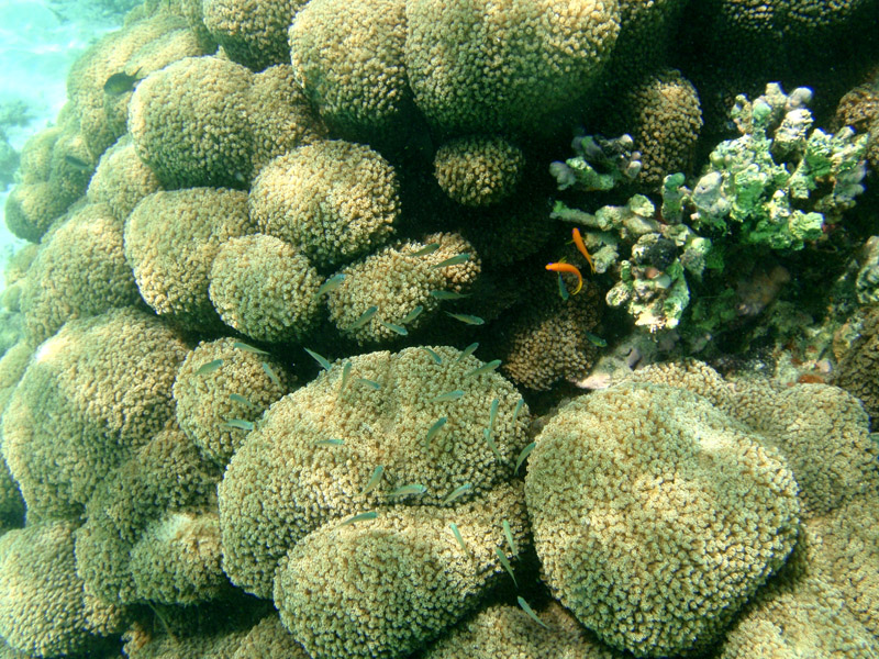
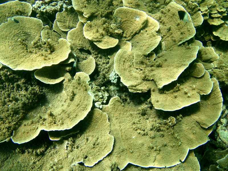
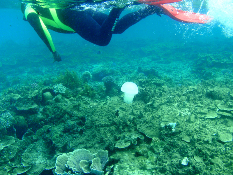
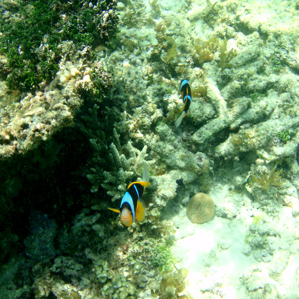
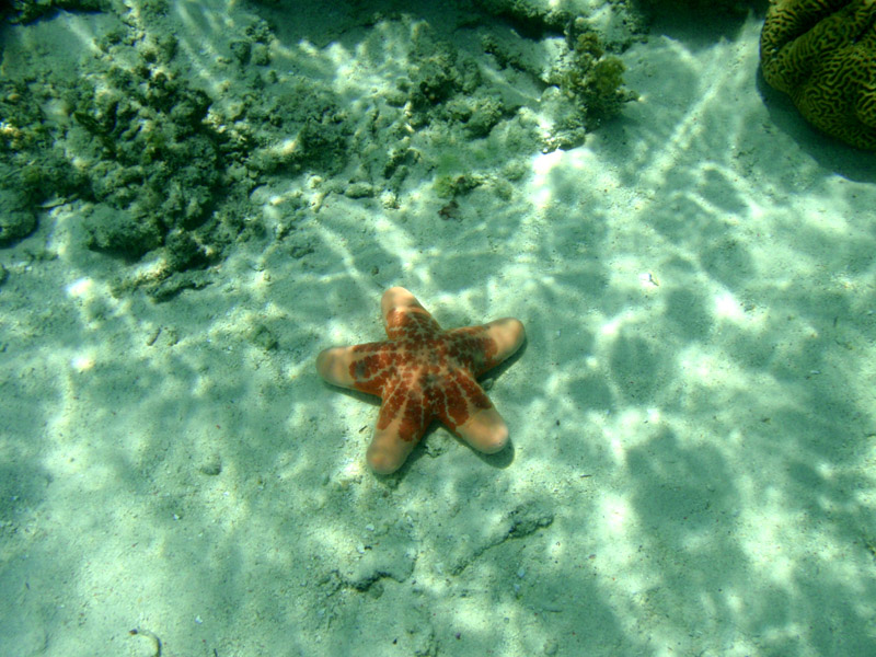
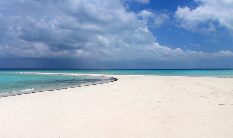
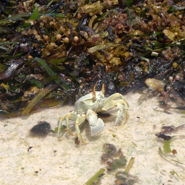
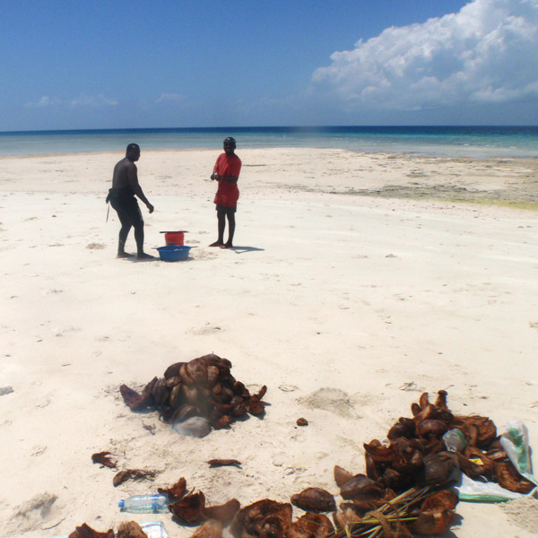
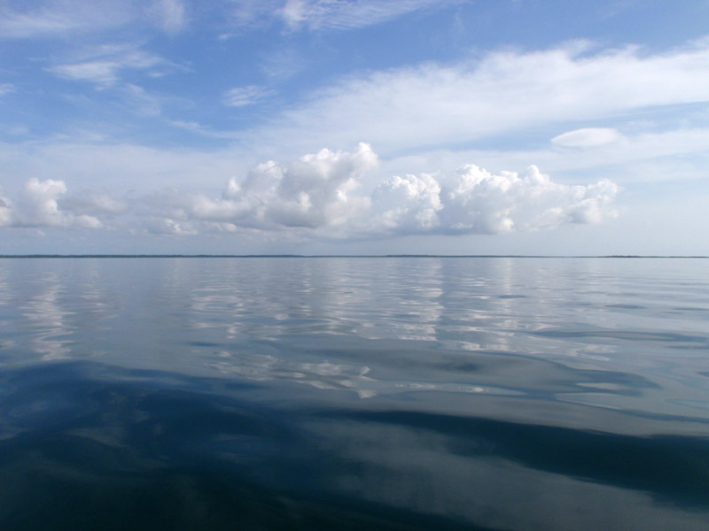
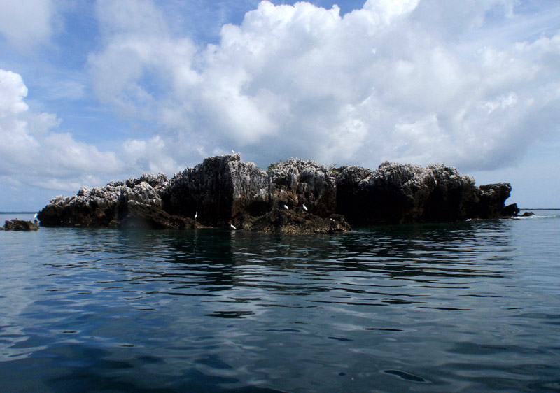
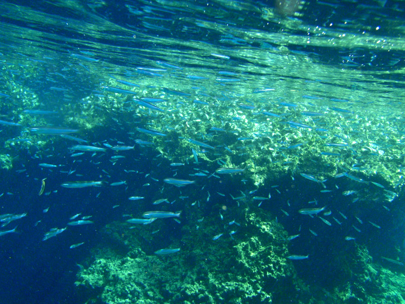
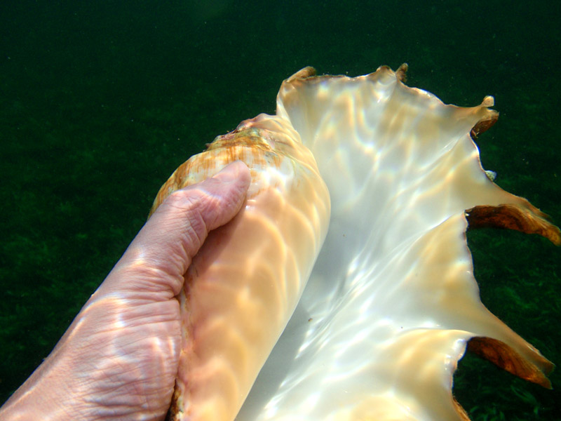
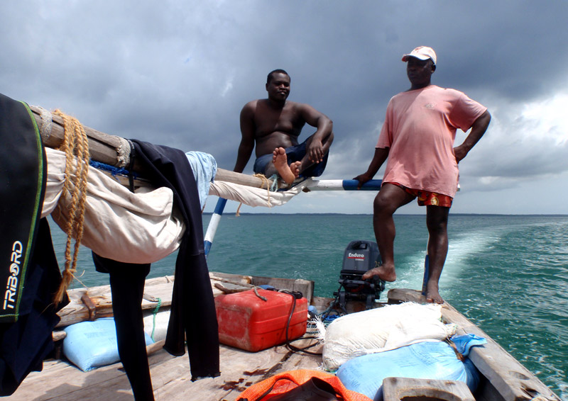
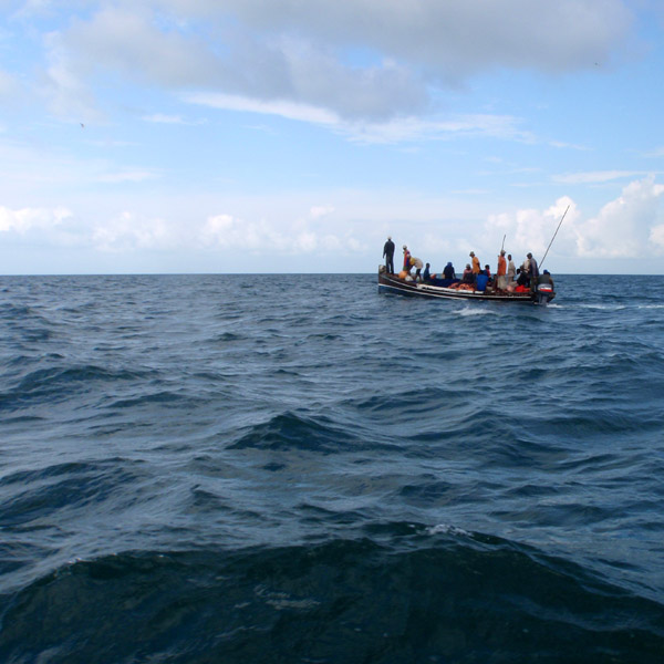
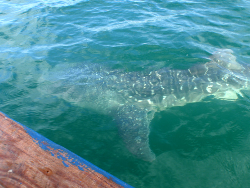
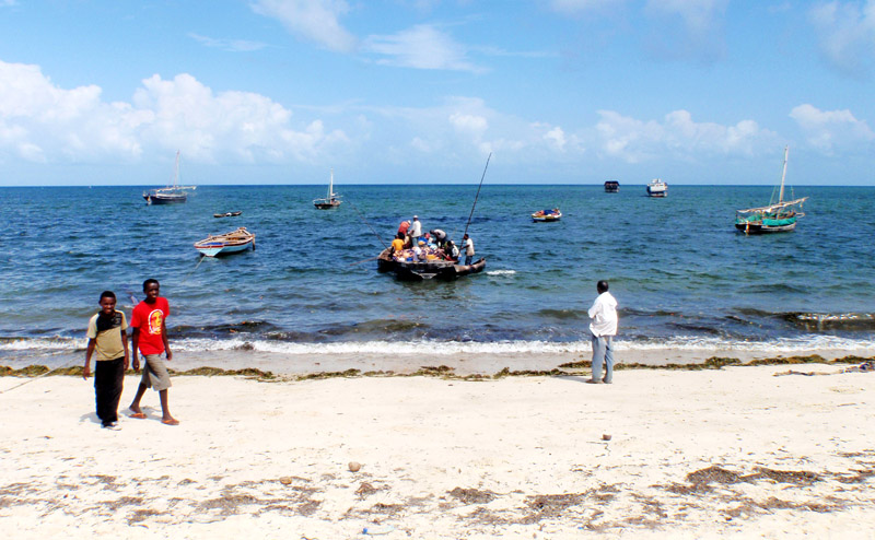
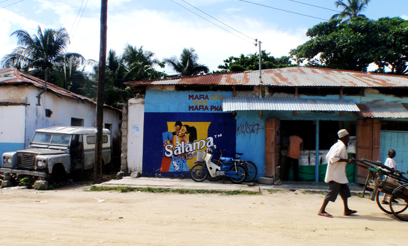
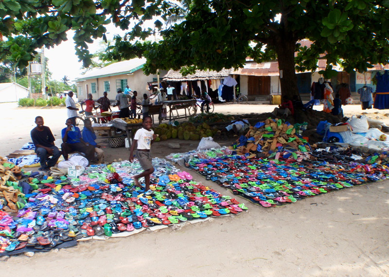
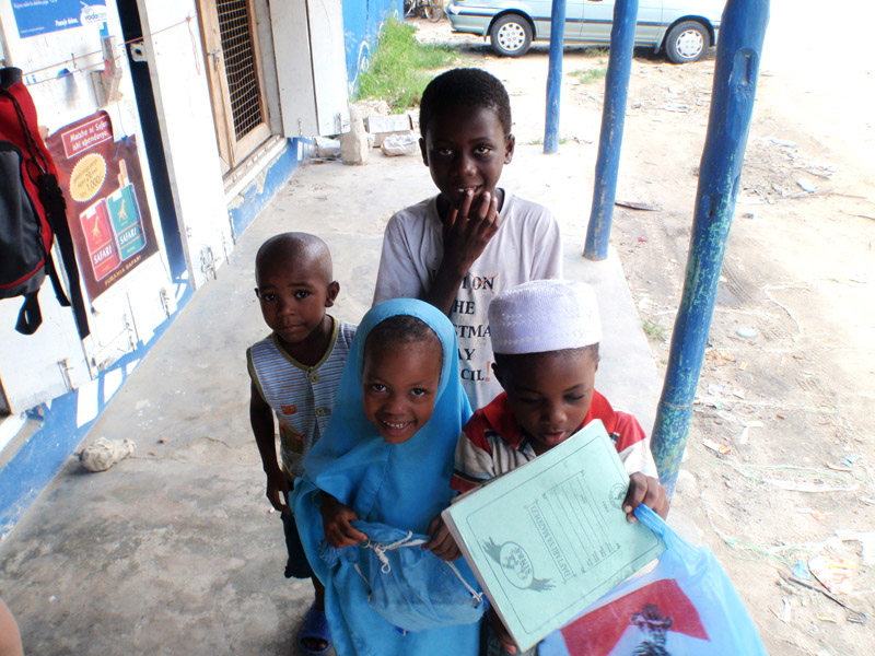
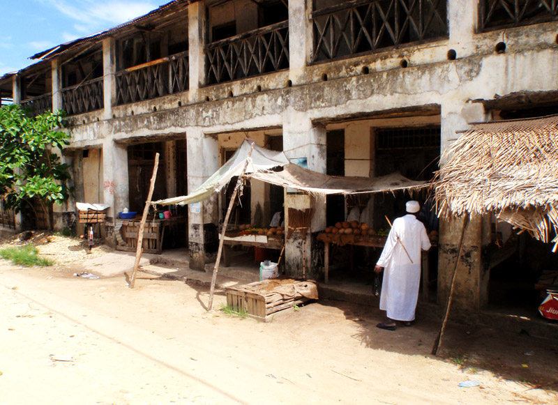
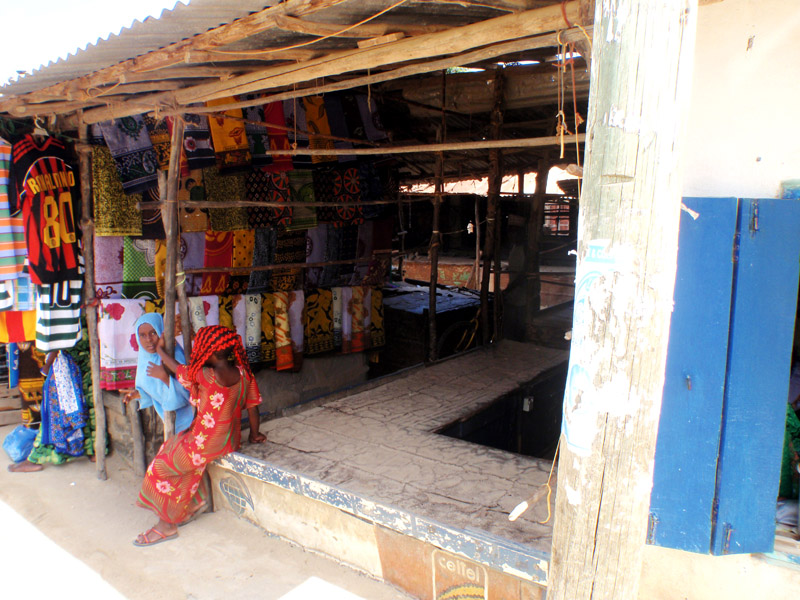
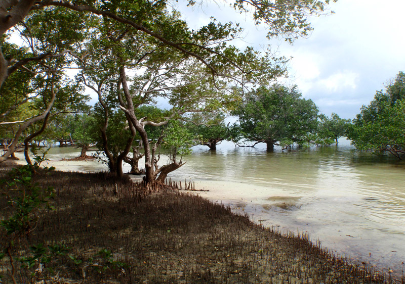
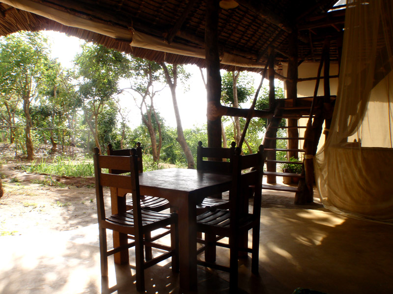
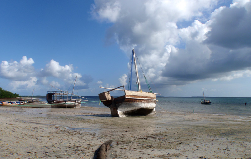
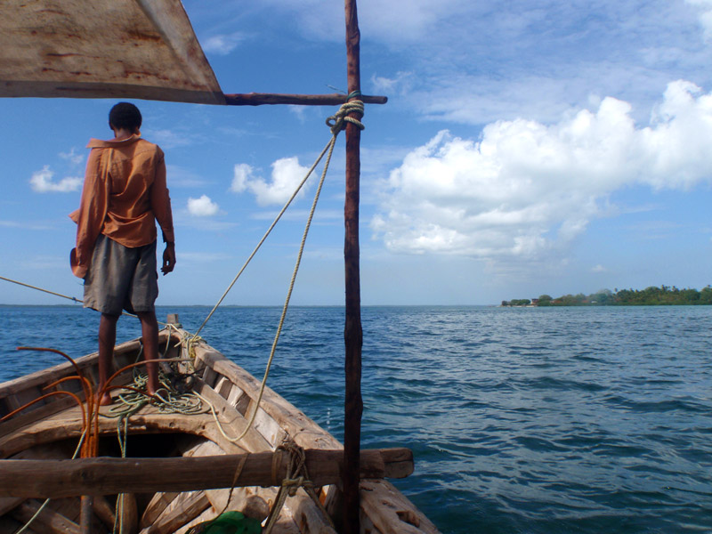
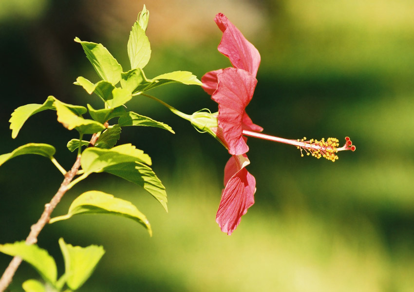
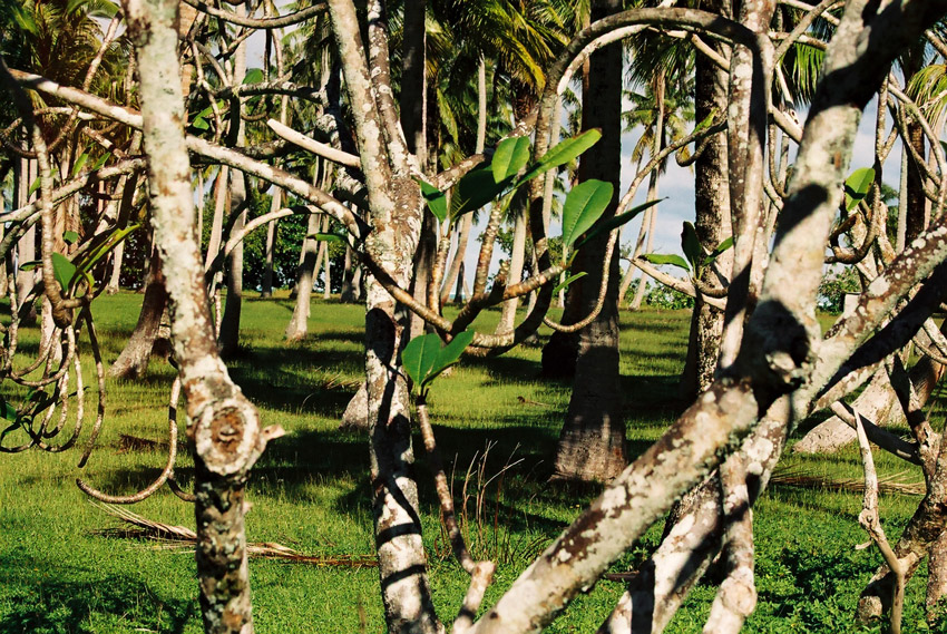
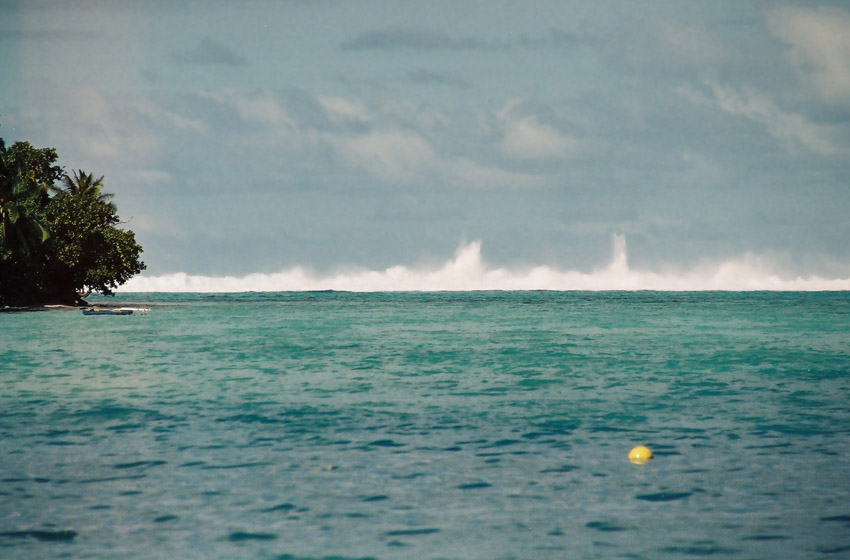
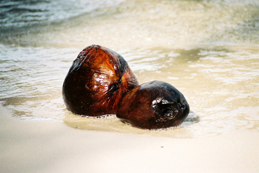
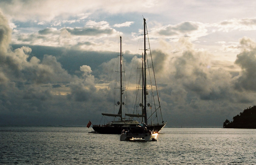
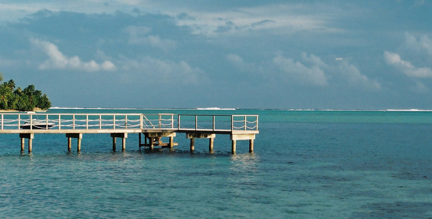
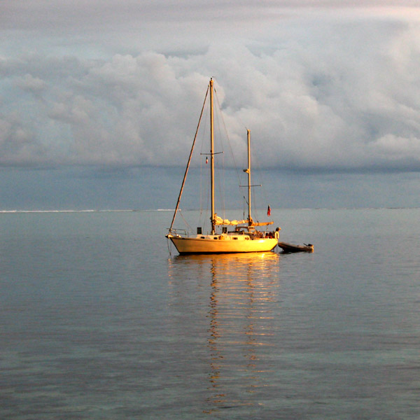
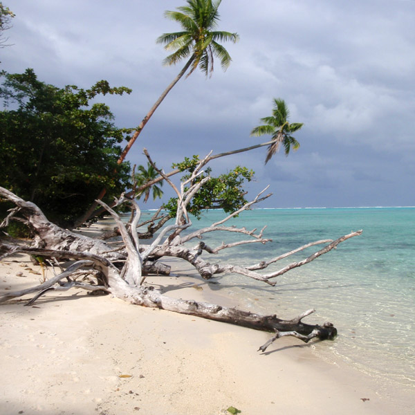
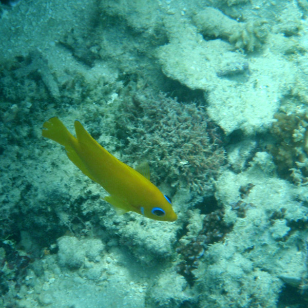
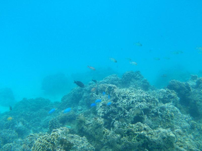
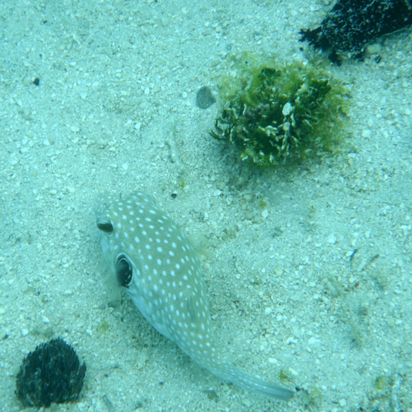
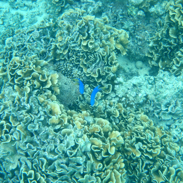
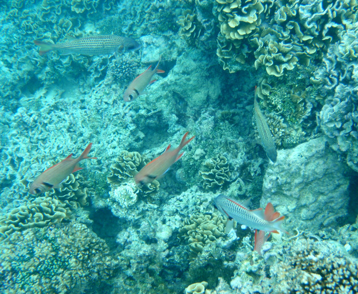
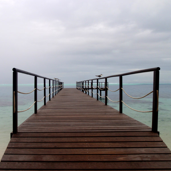
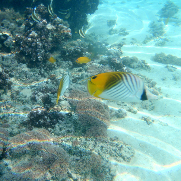
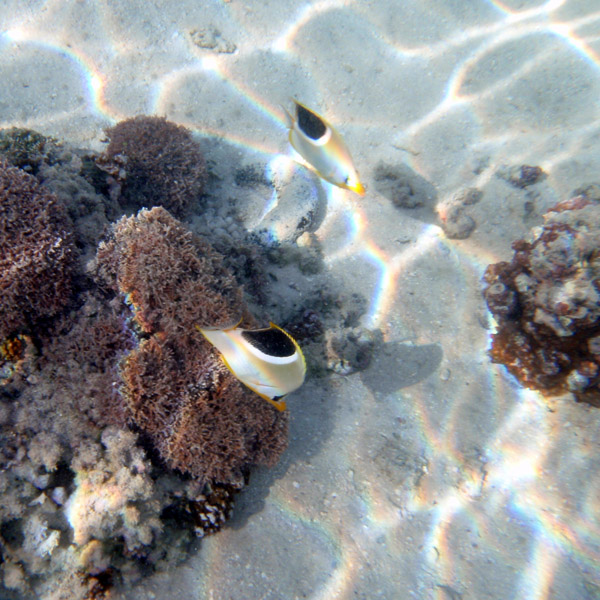
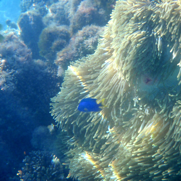
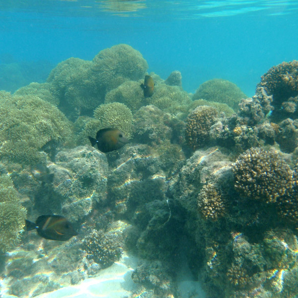
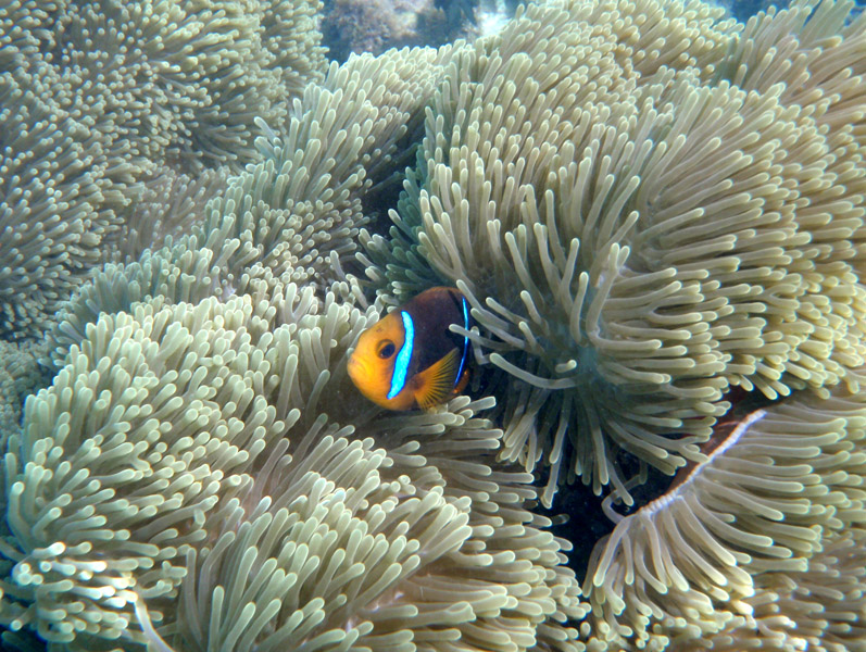
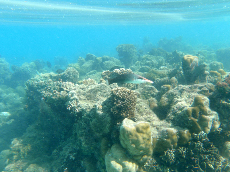
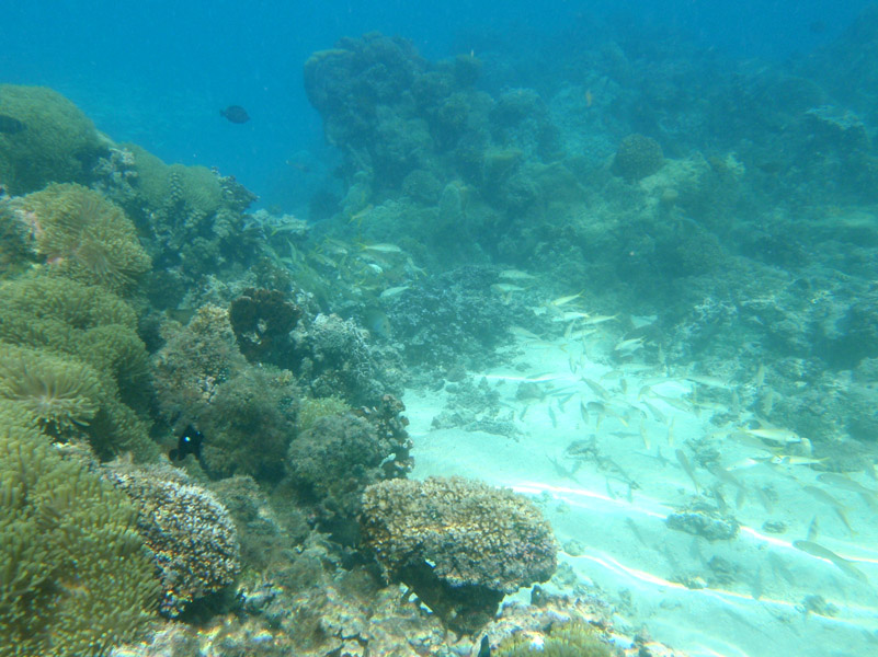
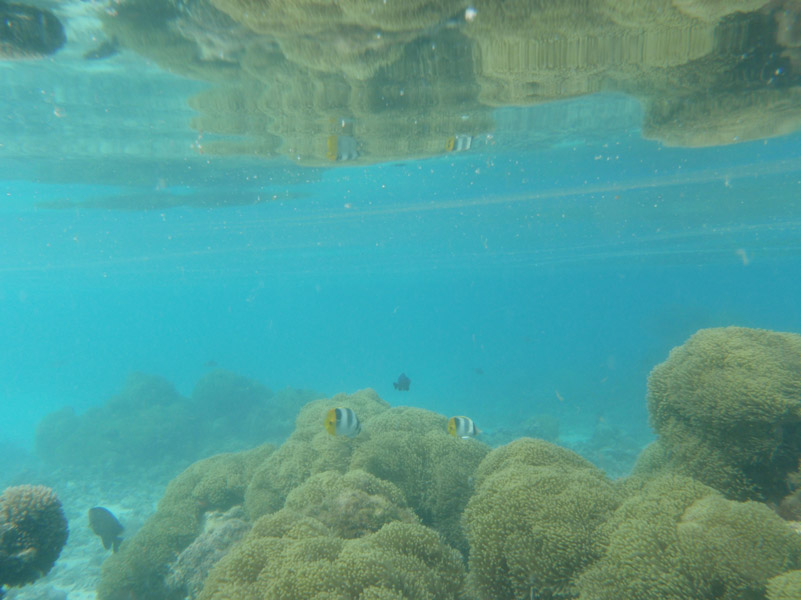
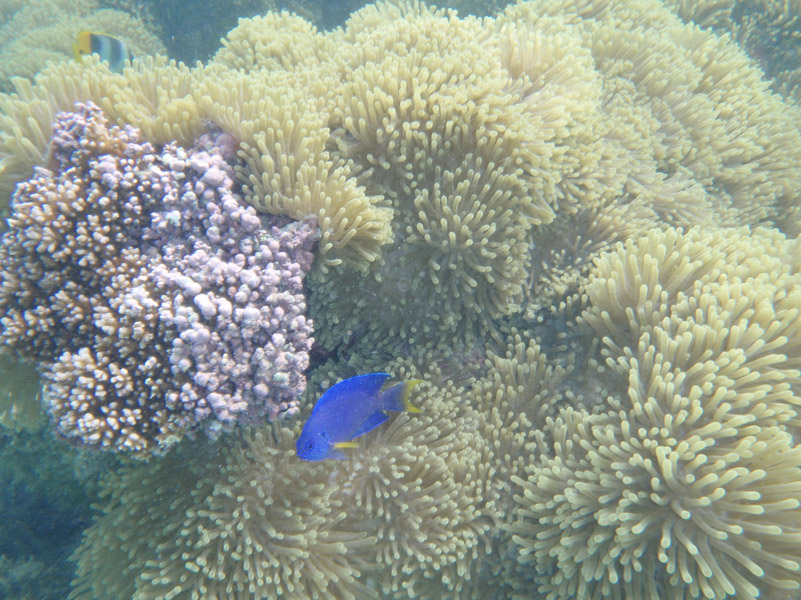
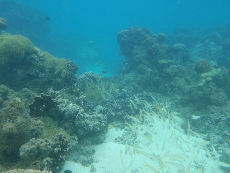
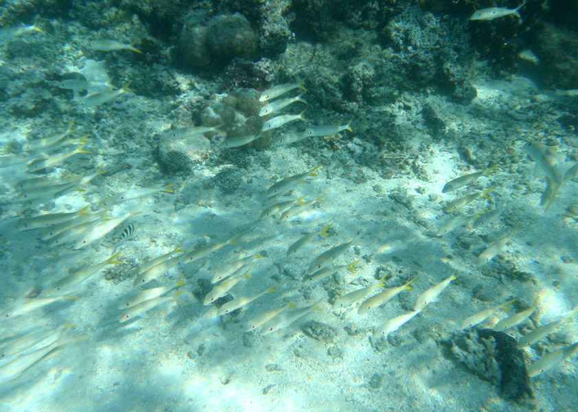
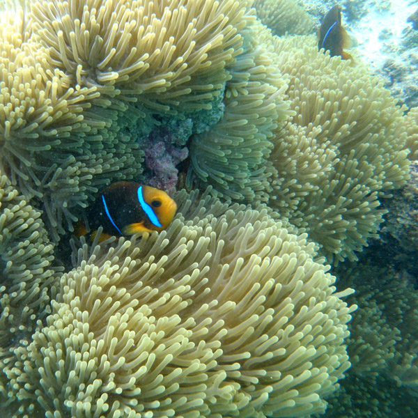
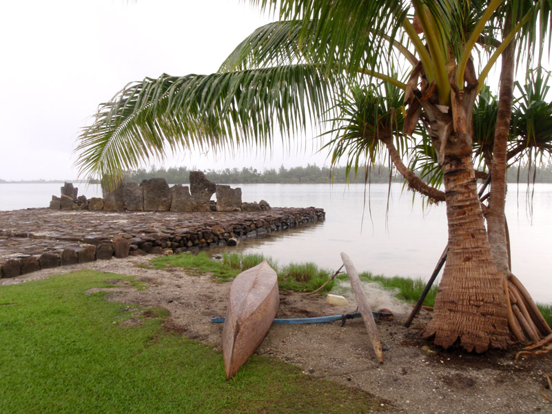
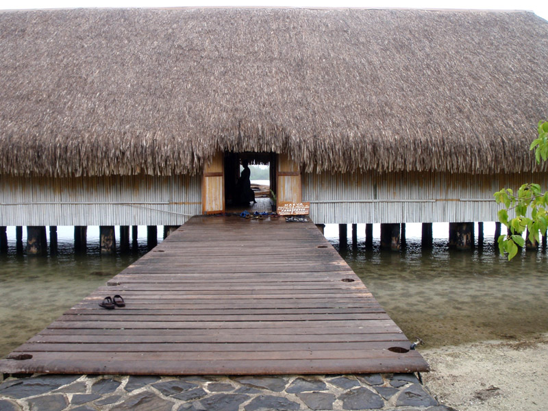
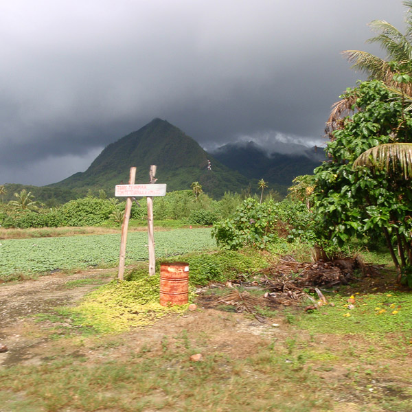
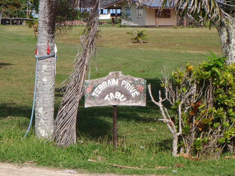
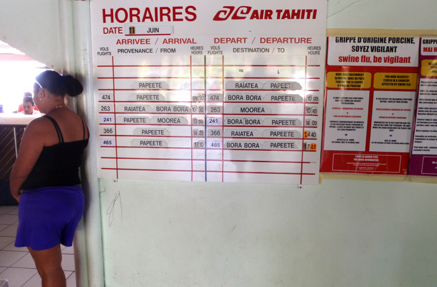
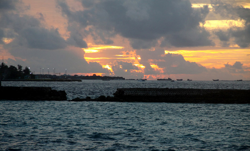
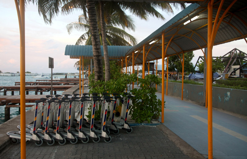
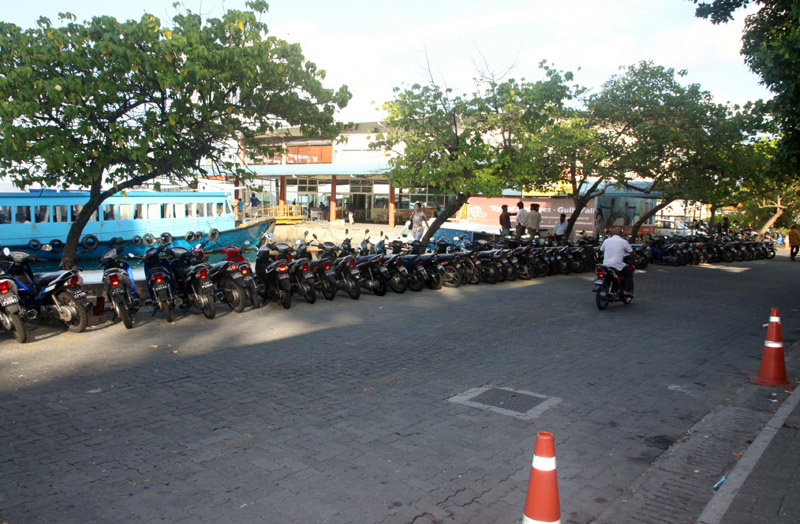
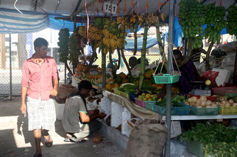
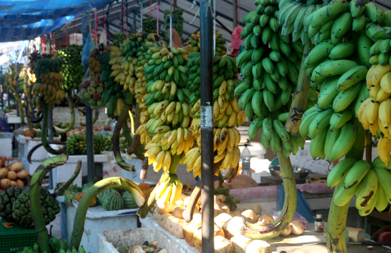
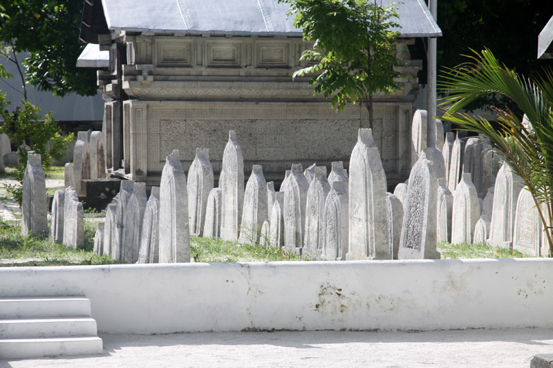
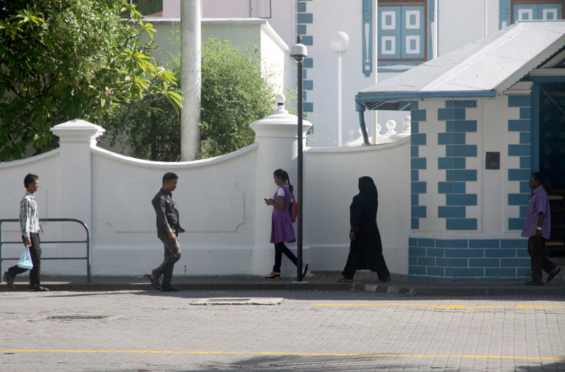
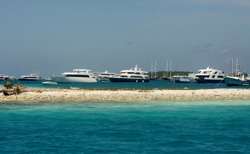
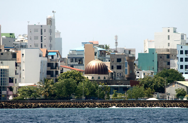
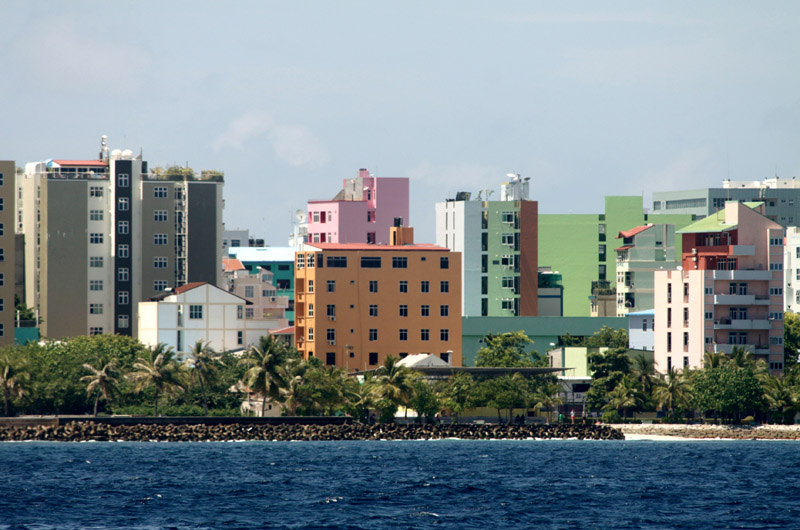
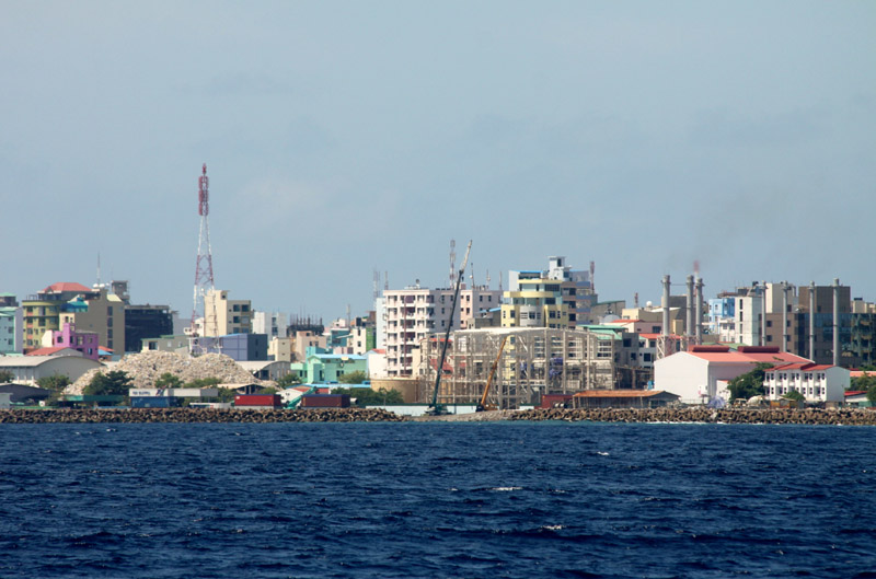
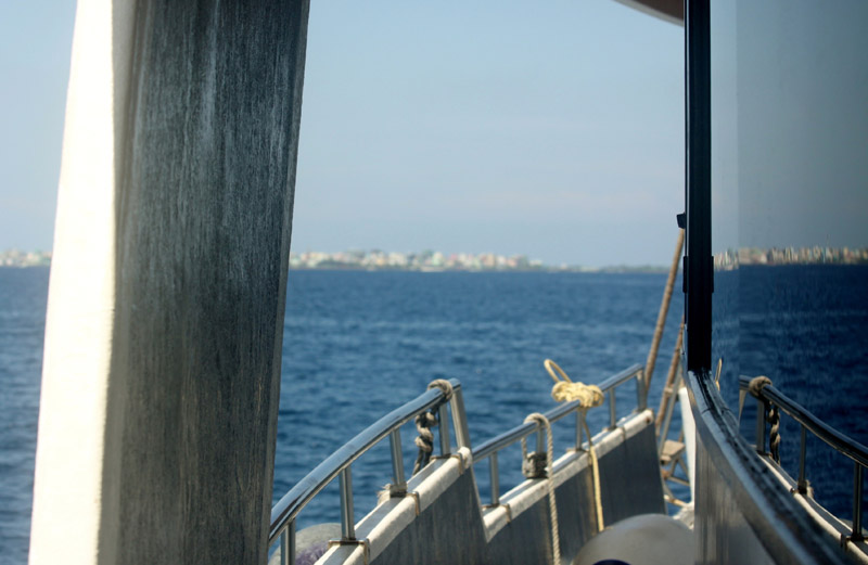
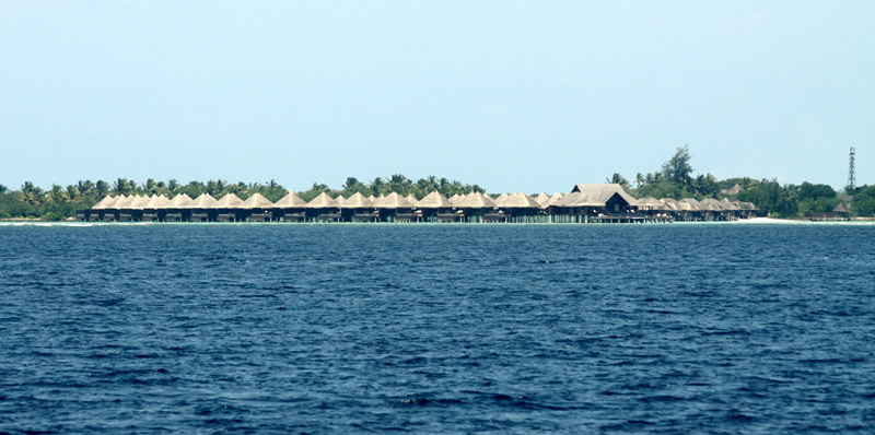
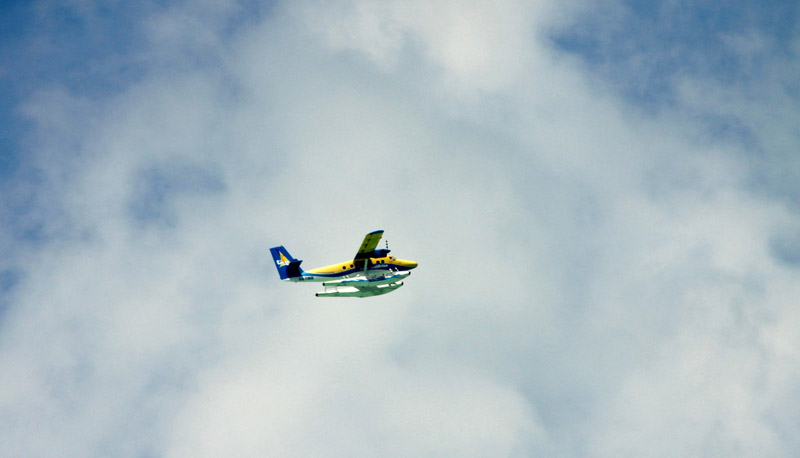
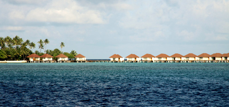
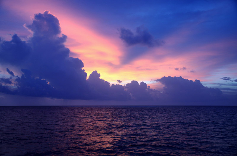
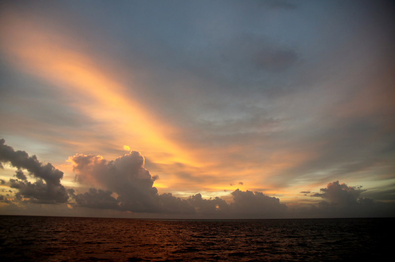
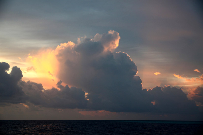
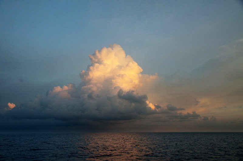
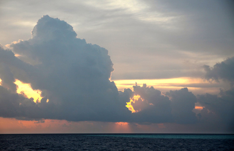
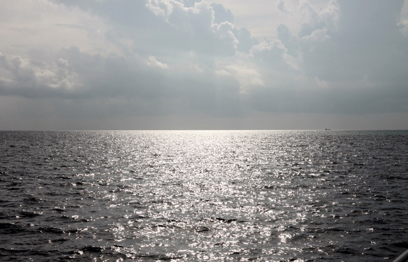
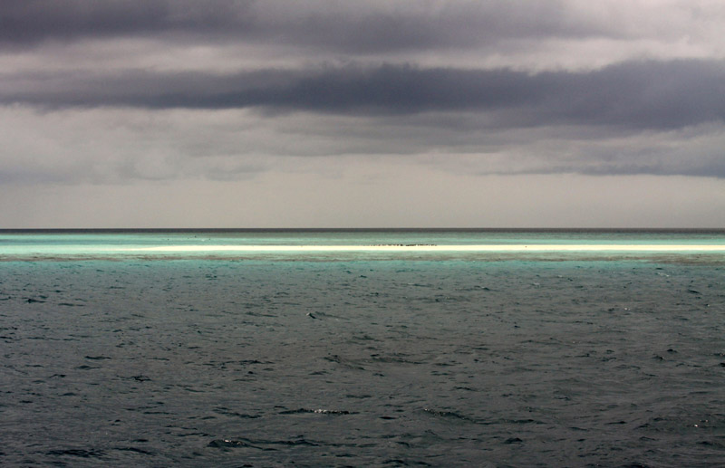
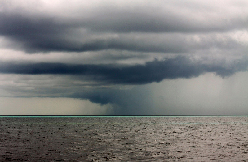
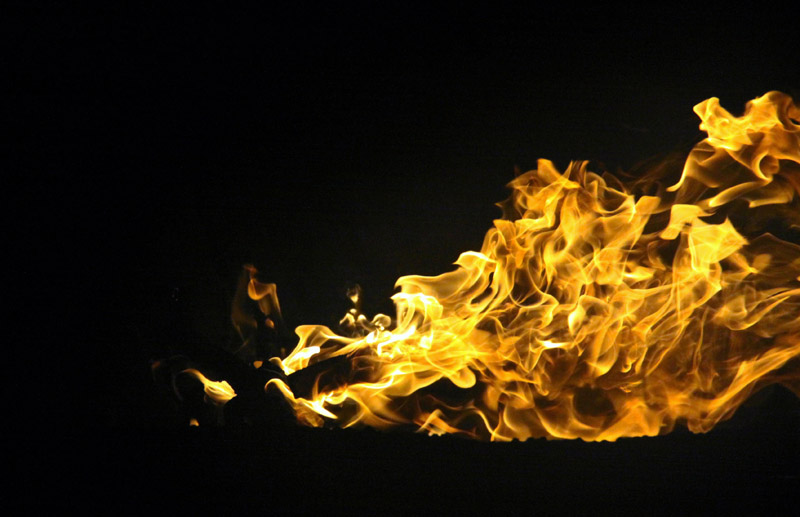
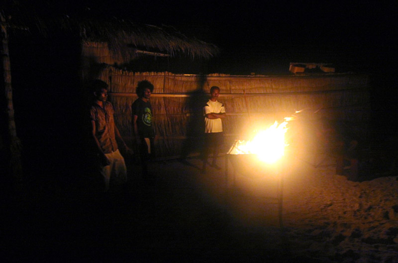
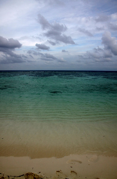
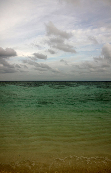
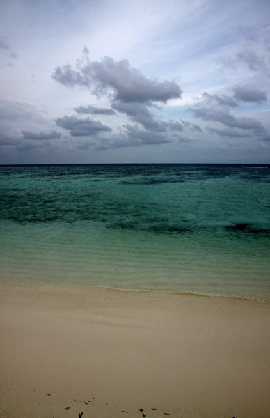
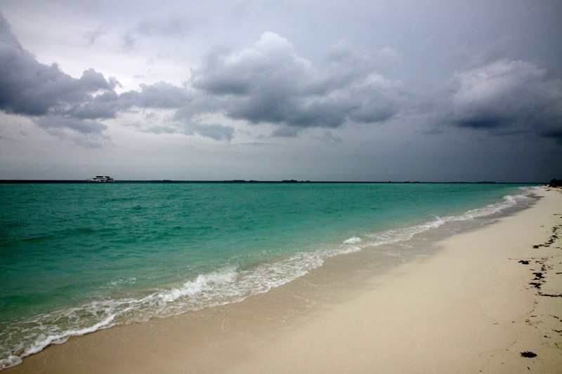
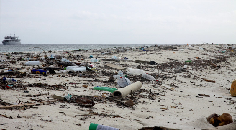
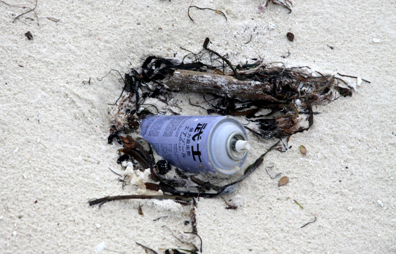
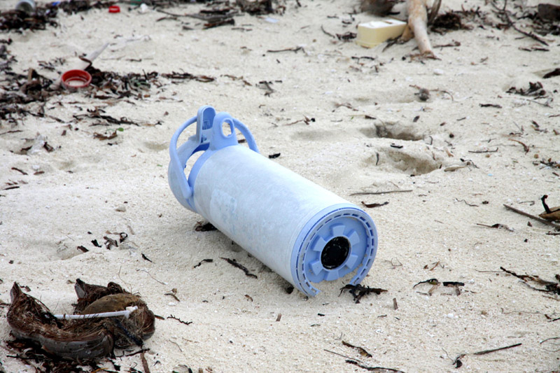
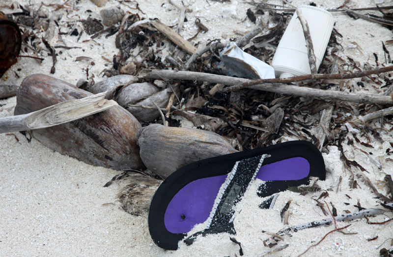
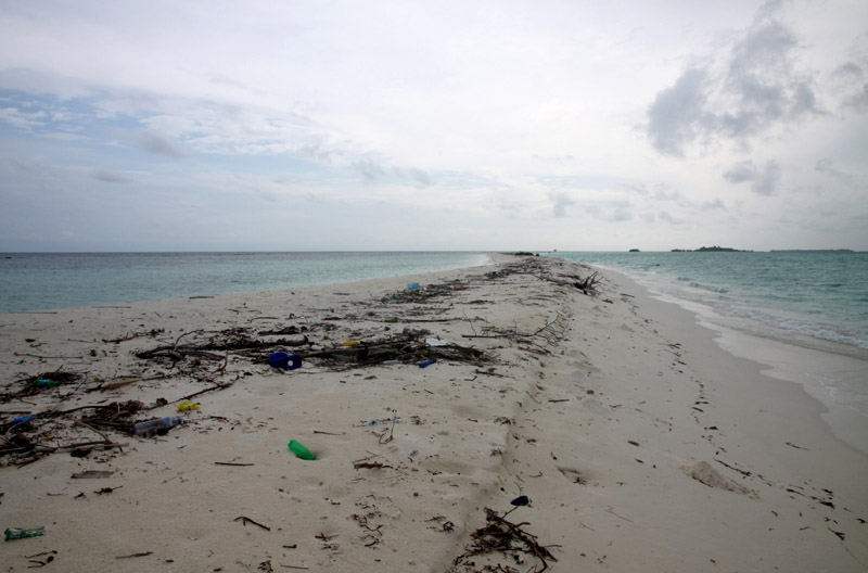
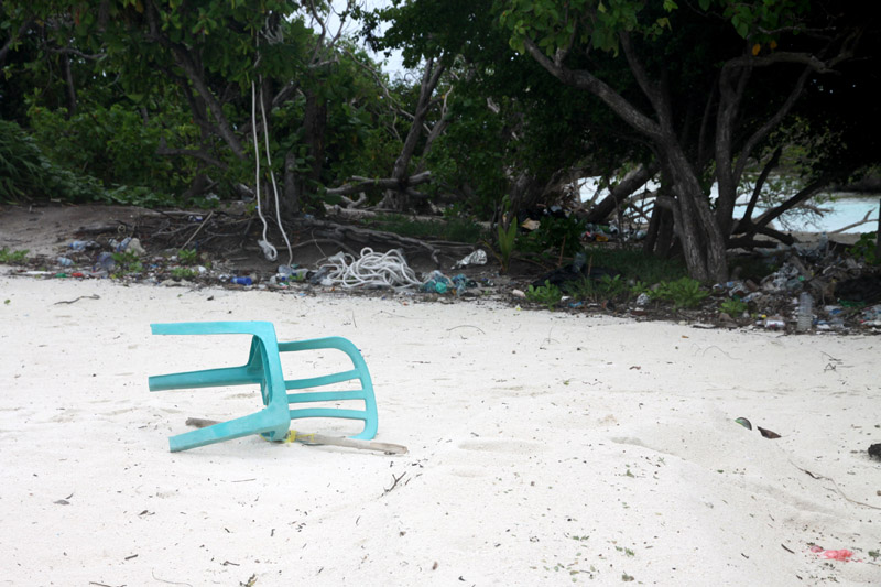
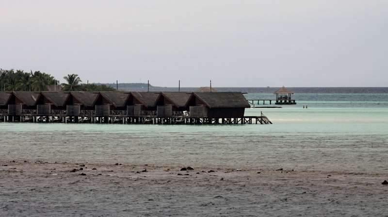
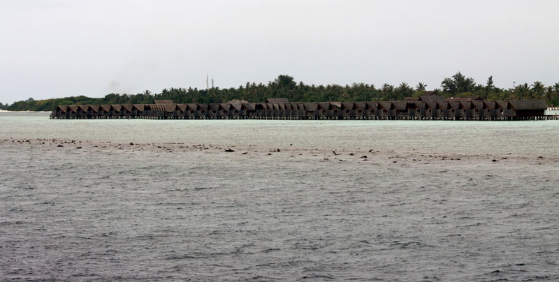
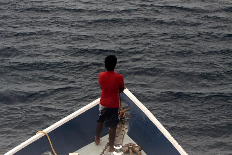
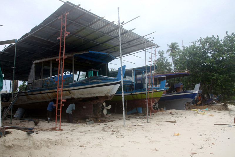
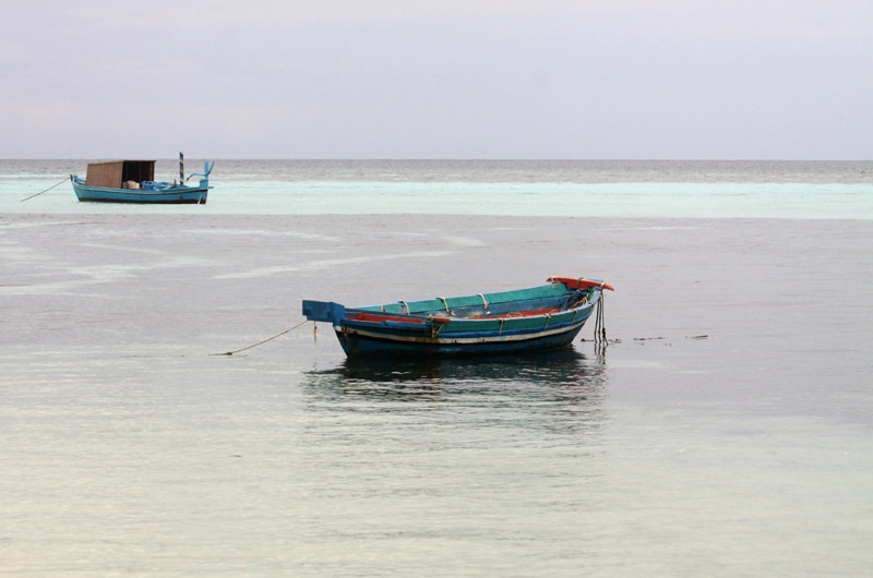
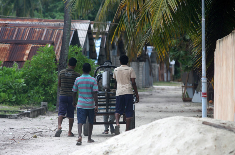
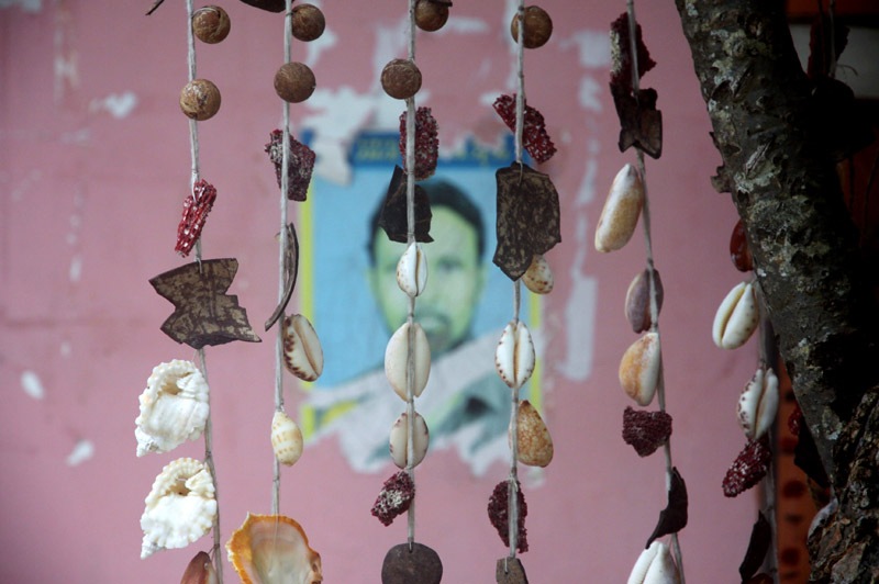
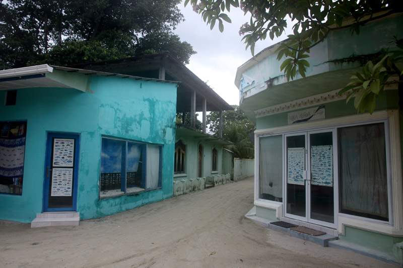
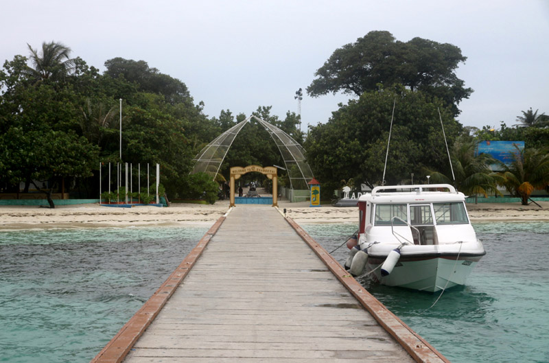
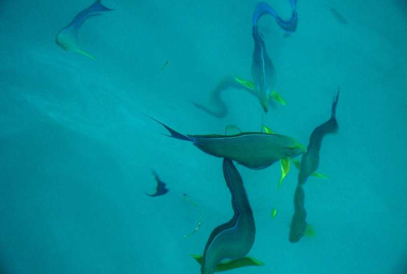
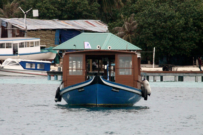
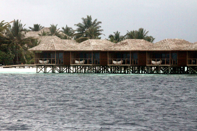
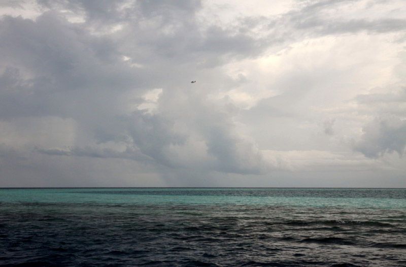
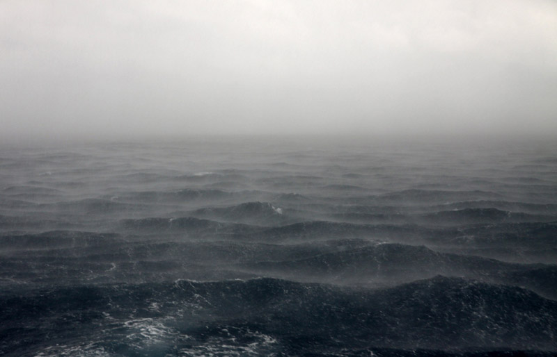
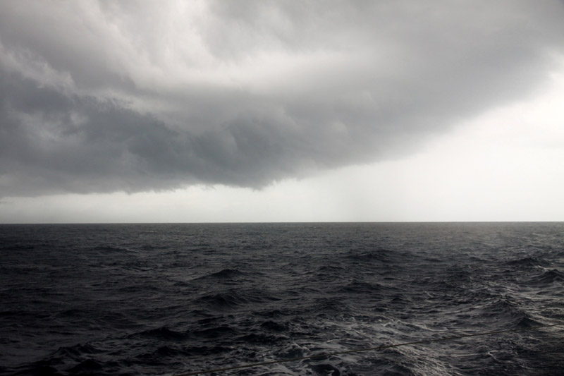
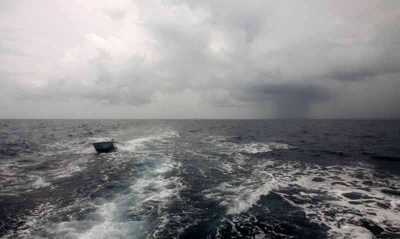
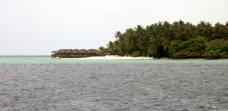
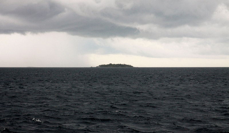
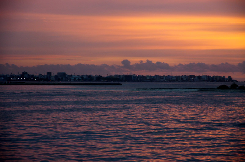
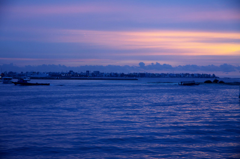
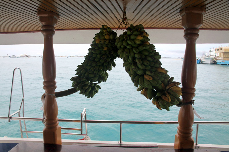
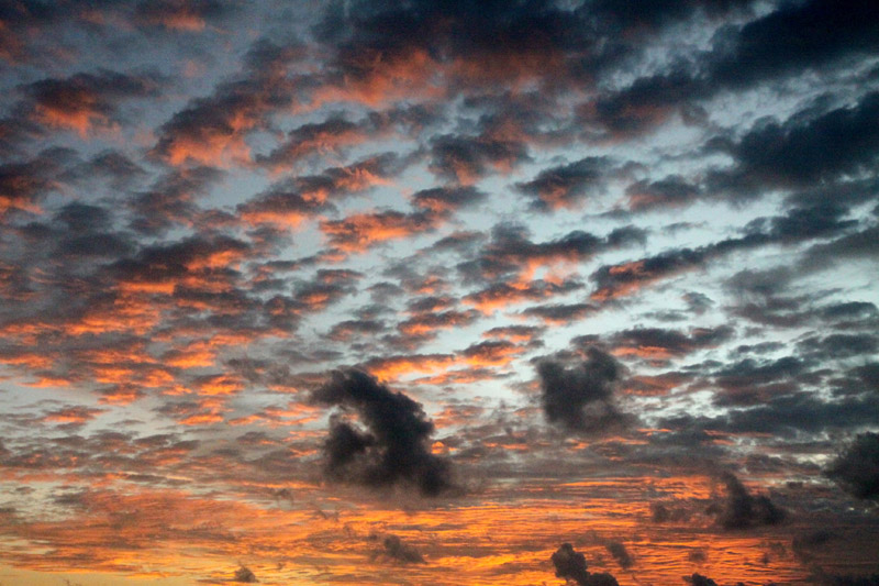
That was short cruise in the Maldives. I have visited Male Atoll, South Male Atoll, Ari (Alifu) Atoll, Felidhe (Vaavu) Atoll, Dhangeti, Guraidhoo, Dhigurah. The worst trip from all of my expeditions. Yet, I have seen the pictures of the country that are different than usually presented.

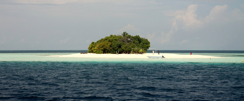
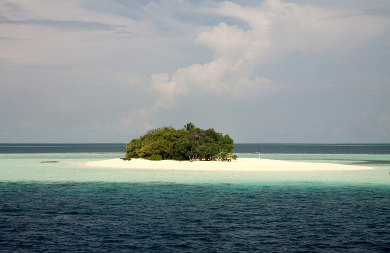
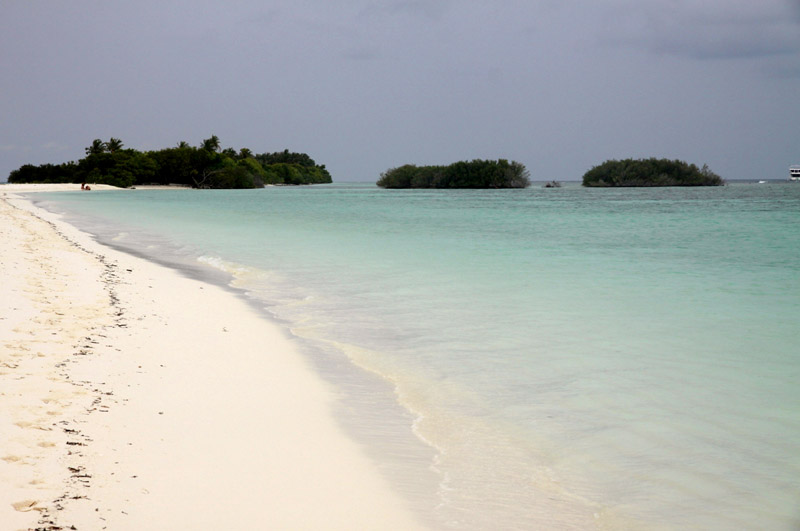
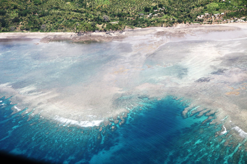
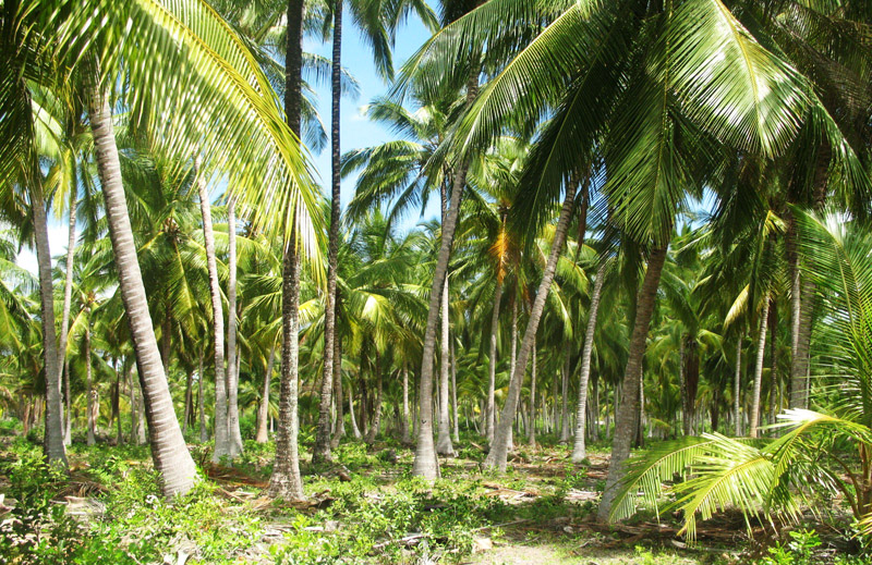
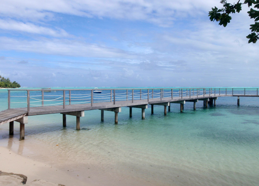
The Maldives (Listeni/ˈmɒldaɪvz/ or /ˈmɒldiːvz/), (Dhivehi: ދިވެހިރާއްޖެ, Dhivehi Raa’je), officially Republic of Maldives (Dhivehi: ދިވެހިރާއްޖޭގެ ޖުމްހޫރިއްޔާ, Dhivehi Raa’jeyge Jumhooriyya), also referred to as the Maldive Islands, is an island nation in the Indian Ocean formed by a double chain of twenty-six atolls oriented north-south off India’s Lakshadweep islands, between Minicoy Island and Chagos Archipelago. It stands in the Laccadive Sea, about 700 kilometres (430 mi) south-west of Sri Lanka and 400 kilometres (250 mi) south-west of India. During the colonial era, the Dutch referred to the country as “Maldivische Eilanden” in their documentation, while “Maldive Islands” is the anglicised version of the local name used by the British, which later came to be written “Maldives”.

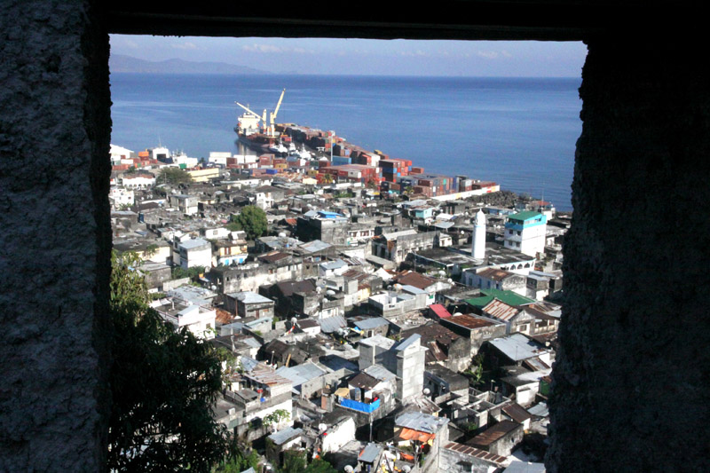
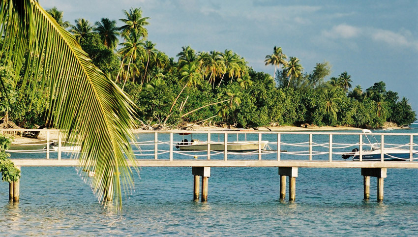
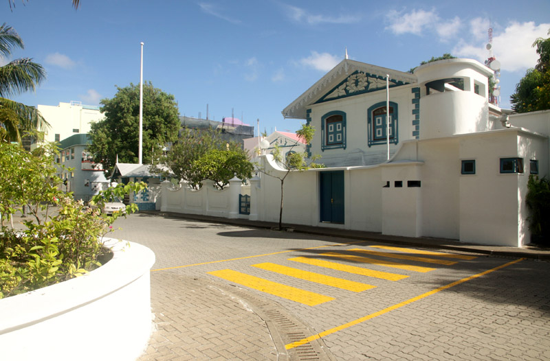
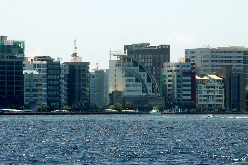
The archipelago is located on top of the Chagos-Maldives-Laccadive Ridge a vast submarine mountain range in the Indian Ocean. The Maldives also form a terrestrial ecoregion together with the Chagos and the Lakshadweep. The atolls of the Maldives encompass a territory spread over roughly 90,000 square kilometres (35,000 sq mi), making it one of the world’s most dispersed countries in geographic terms. Its population of 313,920 (2010) inhabits 200 of its 1,192 islands. Maldives’ capital and largest city Malé had a population of 103,693 in 2006. It is located at the southern edge of North Malé Atoll, in the Kaafu Atoll. It is also one of the Administrative divisions of the Maldives. Traditionally it was the King’s Island where the ancient Maldive Royal dynasties were enthroned.

Source: Wikipedia (under GNU Free Documentation License)

Categories
Comoro Islands

Anjouan

Anjouan (also known as Ndzuwani or Nzwani) is an autonomous island, part of the Union of Comoros. The island is located in the Indian Ocean. Its capital is Mutsamudu and its population as of 2006 is about 277,500. The total area of the island is 424 sq. kilometers (163 sq. mi.).

Source: Wikipedia (under GNU Free Documentation License)

Categories
Comoro Islands

Mohéli

Mohéli, also known as Mwali, is one of the three islands which make up the nation of Comoros. Mohéli is located in the Indian Ocean off the coast of Africa. It is by far the smallest of the Comoros islands. Its population, as of 2006, is about 38,000. Its capital city is Fomboni. Its main ethnic group, as on the other Comoros islands Grande Comore and Anjouan as well as the French territory Mayotte, is the Comorian ethnic group, a synthesis of Bantu, Arab, Malay and Malagasy culture, and the main religion is Sunni Islam.

Source: Wikipedia (under GNU Free Documentation License)

Categories
Indonesia West Papua

Raja Ampat Islands I

Located off the northwest tip of Bird’s Head Peninsula on the island of New Guinea, in Indonesia’s West Papua province, Raja Ampat, or the Four Kings, is an archipelago comprising over 1,500 small islands, cays and shoals surrounding the four main islands of Misool, Salawati, Batanta and Waigeo, and the smaller island of Kofiau. It encompasses more than 40,000 km² of land and sea, which also contains Cenderawasih Bay, the largest marine national park in Indonesia. It is a part of the newly named West Papua (province) of Indonesia which was formerly Irian Jaya. The islands are the most northern pieces of land in the Australian continent.

According to Conservation International, marine surveys suggest that the marine life diversity in the Raja Ampat area is the highest recorded on Earth. Diversity is considerably greater than any other area sampled in the Coral Triangle composed of Indonesia, Philippines and Papua New Guinea. The Coral Triangle is the heart of the world’s coral reef biodiversity, making Raja Ampat quite possibly the richest coral reef ecosystems in the world.

The area’s massive coral colonies along with relatively high sea surface temperatures, also suggest that its reefs may be relatively resistant to threats like coral bleaching and coral disease, which now jeopardize the survival of other coral ecosystems around the world. The Raja Ampat islands are remote and relatively undisturbed by humans.

Source: Wikipedia (under GNU Free Documentation License)

Categories
Kenya

Elephant Island

The name of this island originates from the belief that it was allegedly inhabited by elephants. It is hard to believe as the island is inaccessible – their shore is guarded by sharp rocks which we found extremely difficult to climb. We travelled across the island twice. First we climbed an unwooded and bushy mountain where I had to watch out for sharp acacia’s thorns and pieces of rock hidden under grass. Later on, we walked along a lovely shore where we met two natives from the village (from the mainland as the Elephant Island is deserted) who collected birds’ eggs. Probably I was the first Pole on the island.

Categories
Kenya

Ngazin Island

In order to reach the island, we canoed across the bay, which was pretty easy but turned much more difficult in the end. This island is hardly ever visited and the bush overgrew the paths long time ago. I tried to find the way out together with my guide but acacia’s thorns were everywhere and they fiercely guarded every square inch of land. After many attempts to move forward, my guide was so unlucky that he cut his leg with acacia’s thorns and blood poured down his leg. Then, I decided to retreat. On our way back we were caught in a tropical thunderstorm. We did not manage to cross the island but the views were fabulous. I was probably the first Pole to have visited the island and, in the guide’s opinion, one of few people from outside Africa.

Categories
Kenya

Kiwayu

I came up with the idea of a journey to Kiwayu right after I came back from Lamu this year in March. I was amazed by this archipelago and I felt I needed to go back. I can describe Kiwayu as a place where a lovely wind still blows (it is important because the huts do not have any doors or windows and they are air-conditioned in a natural way), and you can meet thousands of red crabs on the beach.

It is a tremendous place where very friendly and helpful owners of Kivayu Safari Village live.

Categories
Bissagos Islands Guinea-Bissau

Cruise around the Bissagos

The Bissagos Islands or Bijagós Archipelago are a group of some eighteen major islands and dozens more smaller ones in the Atlantic Ocean with an area of 2 624 km2 and a population of 30,000 (2006). They are a part of Guinea-Bissau.

The population mostly speaks Bijago and has a considerable degree of autonomy.

The islands include: Bolama, Bubaque, Carache, Caravela, Enu, Formosa, Galinhas, João Viera, Maio, Meneque, Orango, Orangozinho, Ponta, Roxa, Rubane, Soga, Unhacomo, Uno and Uracane.

They constitute a UNESCO Biosphere Reserve, known for animals including marine turtles and monkeys and are mostly forested.

Source: Wikipedia (under GNU Free Documentation License)

Categories
Tanzania

Mafia Island

Usually I do not recommend the hotels. I will make exception for Mafia Island. I recommend Shamba Kilole Lodge: www.shambakilolelodge.com. Beautiful rooms, great food and the owners make you feel like at home.

Mafia Island (“Chole Shamba”) is part of the Tanzanian Spice Islands, together with Unguja and Pemba. As one of the six districts of the Pwani Region, Mafia Island is governed from the mainland, not from the semi-autonomous region of Zanzibar, of which it has never been considered to be a part.

According to the 2002 Tanzania census, the population of the Mafia District was 40,801.The economy is based on fishing, subsistence agriculture and the black market. The island attracts some tourists, mainly adventure scuba divers, game fishermen, and people wanting relaxation.

The Mafia archipelago consists of one large island (394 km²) and numerous smaller ones. Some of these are inhabited, such as Chole Island (2 km²), with a population of 800. Chole Bay, Mafia’s protected deep-water anchorage and original harbour, is studded with islands, sandbanks and beaches. The main town is Kilindoni. The stretch of water between the deltas of the Rufiji River and the island is called Mafia Channel. There are popular rumours of pygmy hippo on the island but there are zero confirmed sightings.

Source: Wikipedia (under GNU Free Documentation License)

Categories
French Polynesia Society Islands

Huahine

Huahine is an island located among the Society Islands, in French Polynesia, an overseas territory of France in the Pacific Ocean. It is part of the Leeward Islands group (Iles sous le Vent).

Huahine measures 16 km (9.9 mi) in length, with a maximum width of 13 km (8.1 mi). It is made up of two main islands surrounded by a fringing coral reef with several motu. Huahine Nui (Big Huahine) lies to the north and Huahine Iti (Little Huahine) to the south. The two islands are separated by a few hundred yards of water and joined by a sandspit at low tide. A small bridge was built to connect Huahine Nui and Huahine Iti. NW of Huahine Iti lies a 375 ha brackish lake known as Lac Fauna Nui (Lac Maeva). This lake is all that remains of the ancient atoll lagoon. There is an airport at Huahine. It was inaugurated in 1971.

One of the famous attractions on Huahine is a bridge that crosses over a stream with 3- to 6-foot (1.8 m) long eels. These eels are deemed sacred by the locals, by local mythology. While viewing these slithering creatures, tourists can buy a can of mackerel and feed the eels. The Fa’ahia archaeological site in the north of the island has revealed subfossil remains of several species of birds exterminated by the earliest Polynesian colonists of the island.

Source: Wikipedia (under GNU Free Documentation License)