Categories
Andaman and Nicobar Islands

South Andaman Island

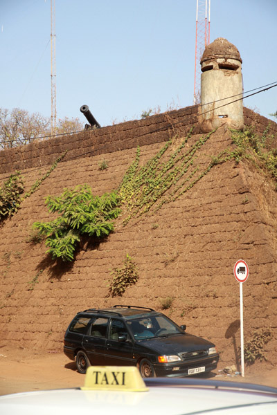
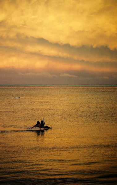
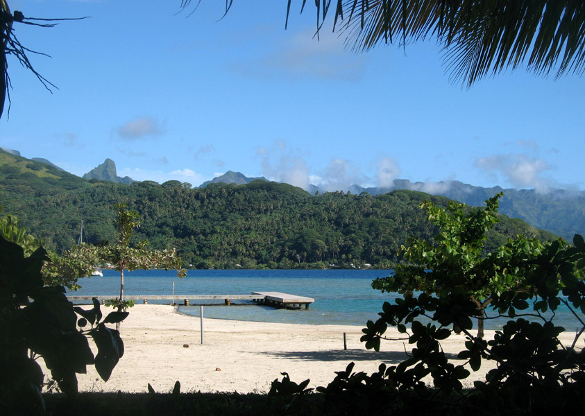
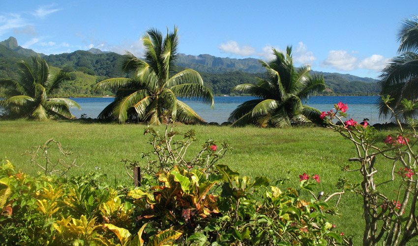
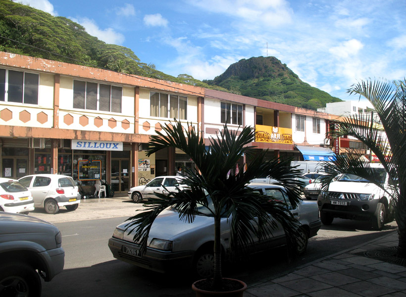
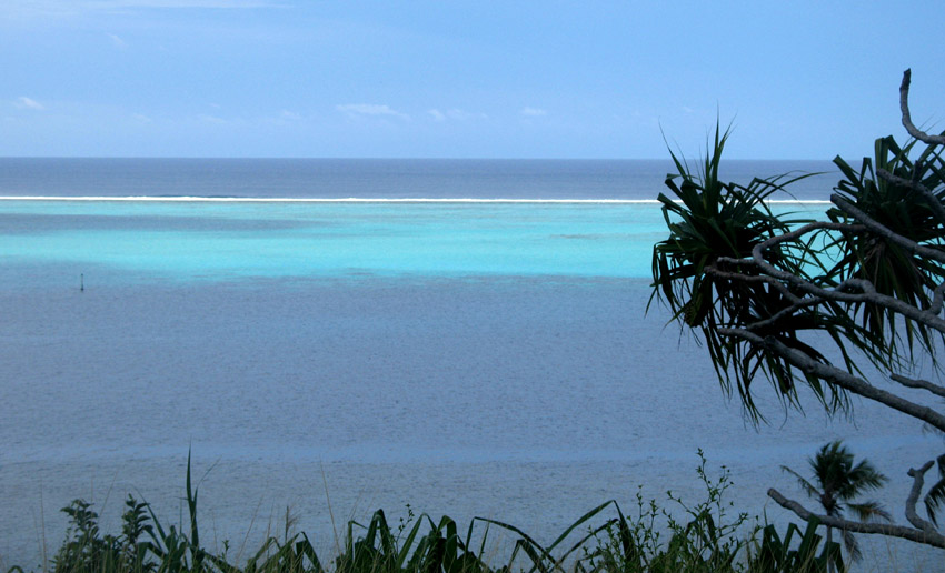
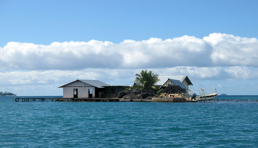
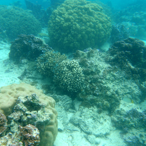
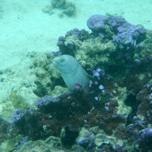
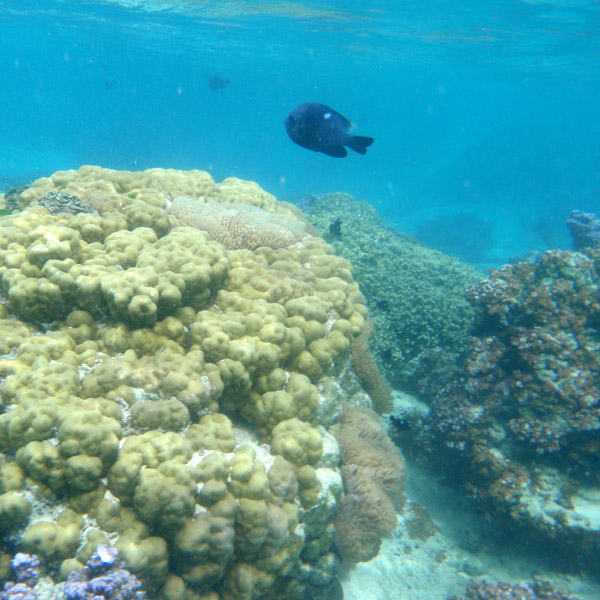
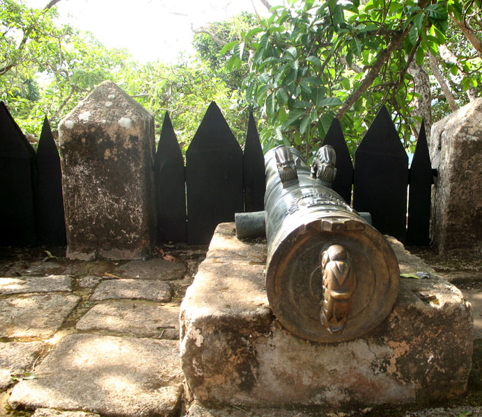
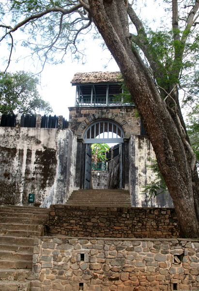
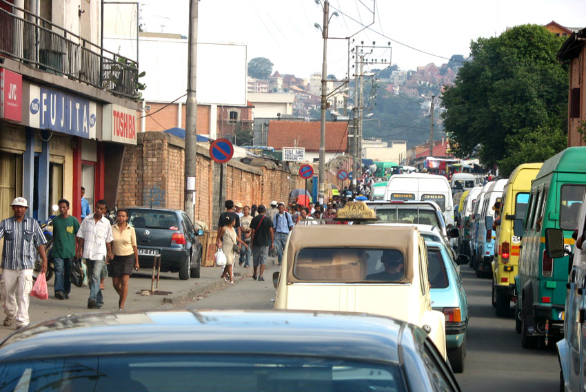
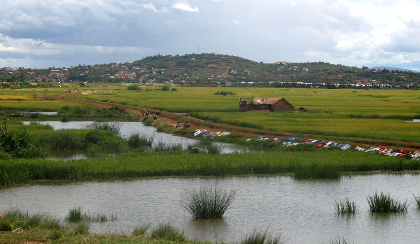
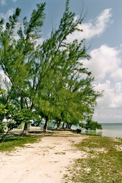
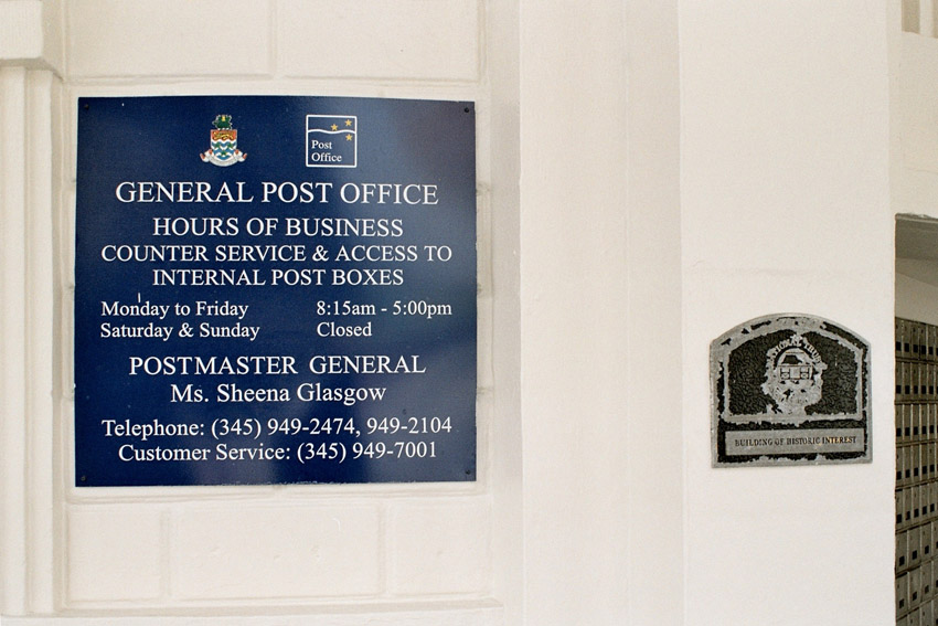
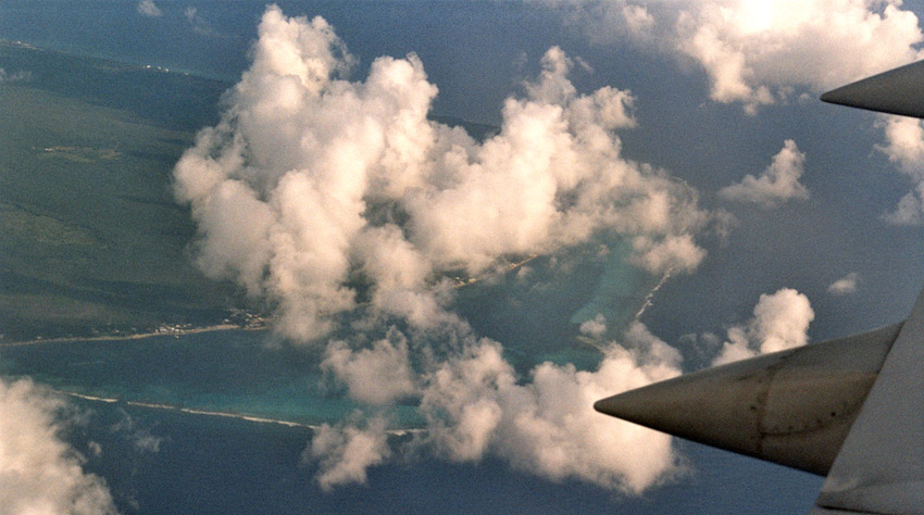
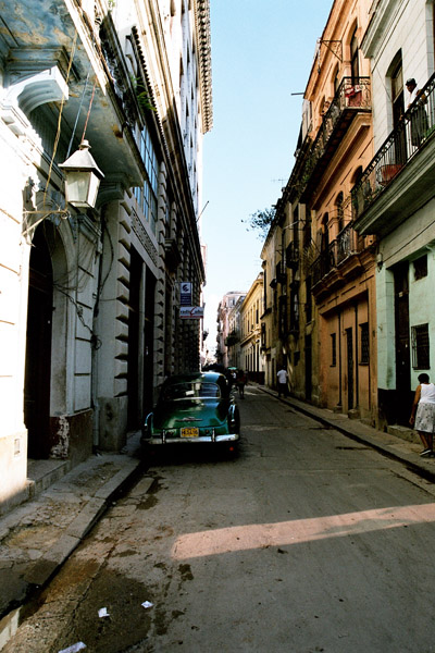
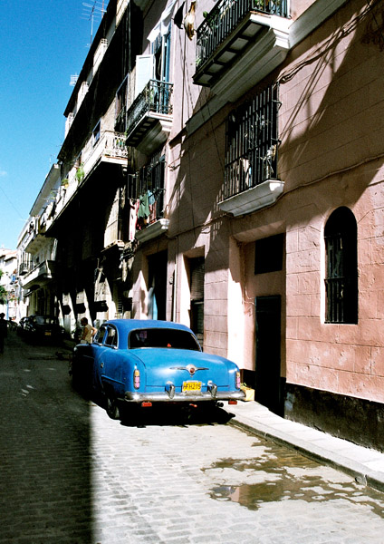
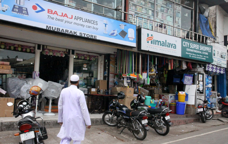
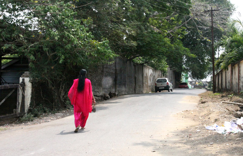
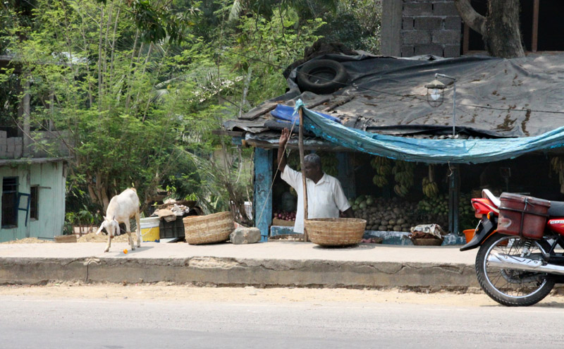
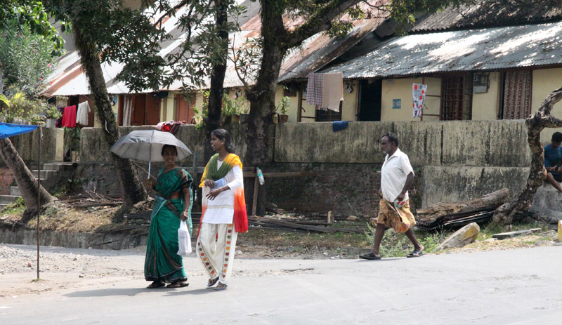
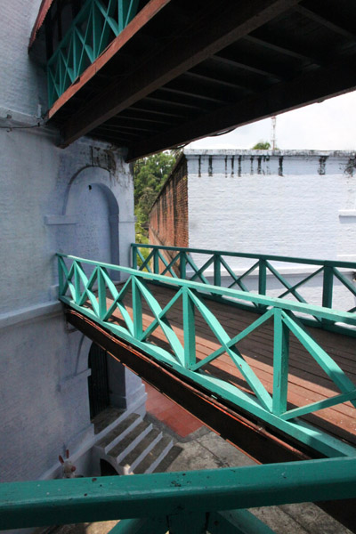
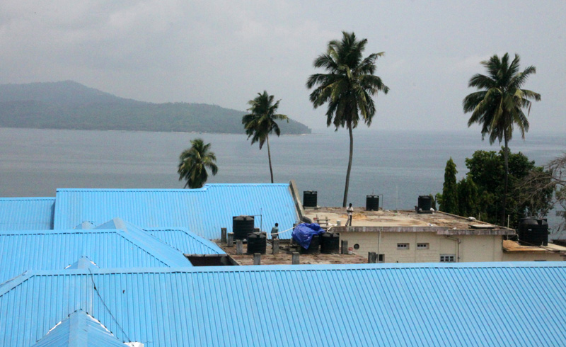
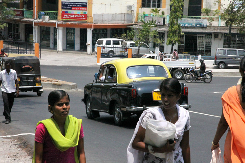
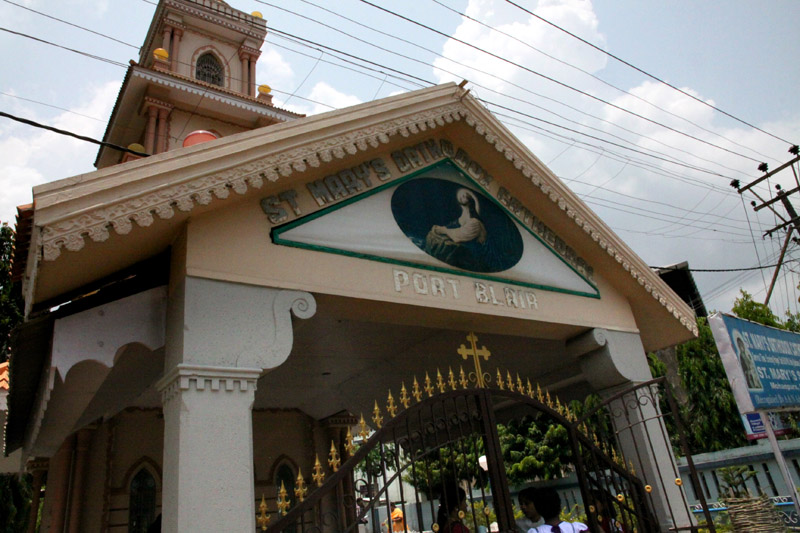
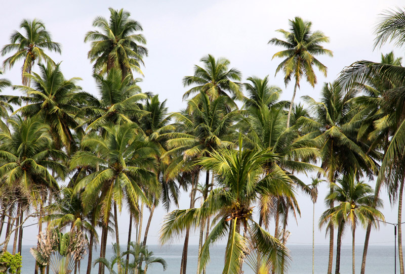
South Andaman Island is the southernmost island of the Great Andaman and is home to the majority of the population of the Andaman Islands. Port Blair, the capital of the islands, is located on the southern part of this island. Some areas of the island are restricted areas for non-Indians; however, transit permits can be obtained from the Home Ministry.

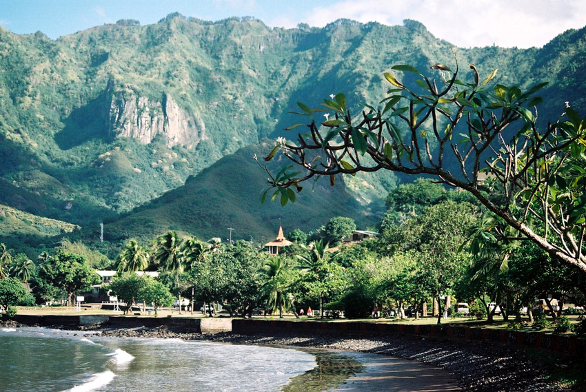
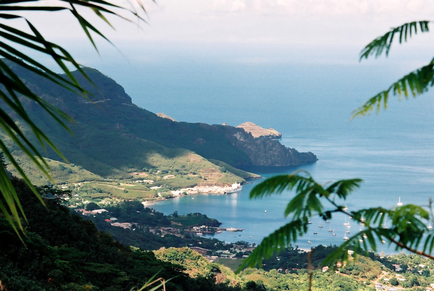
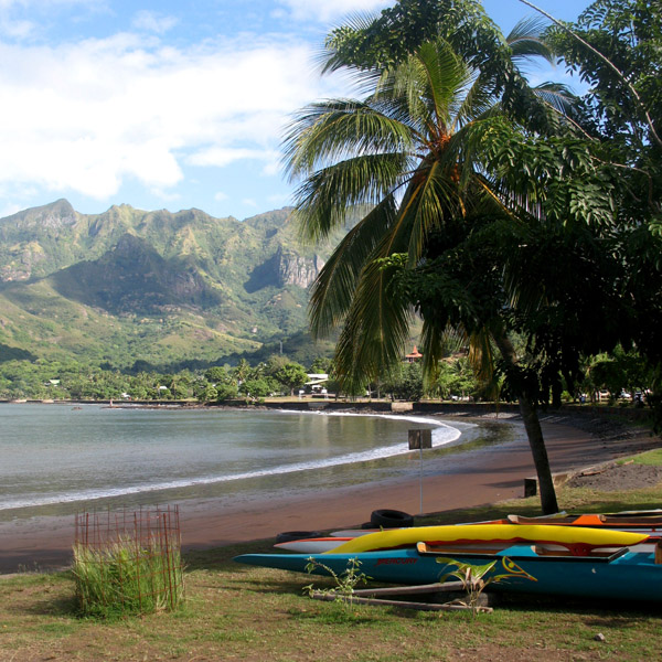
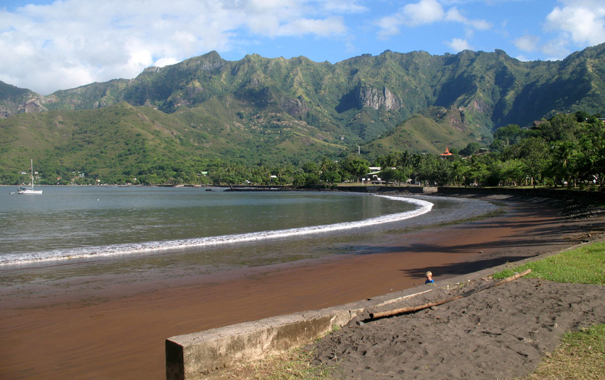
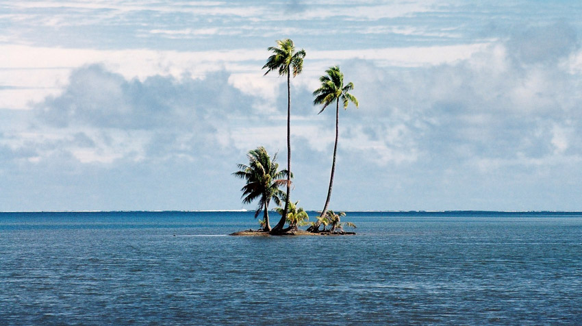
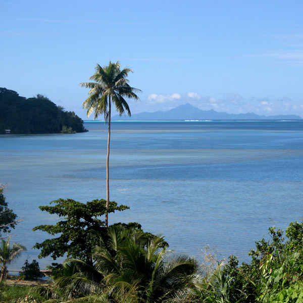
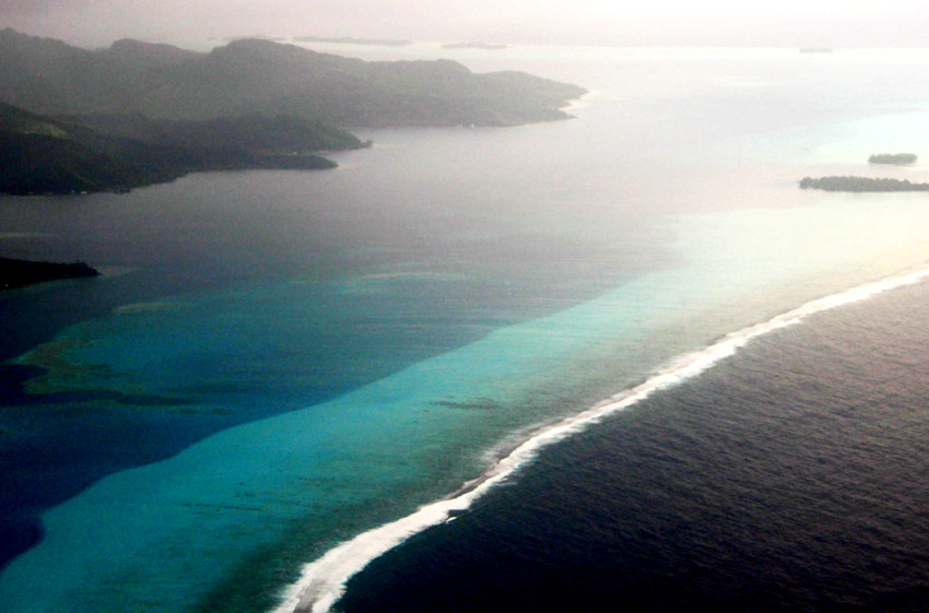
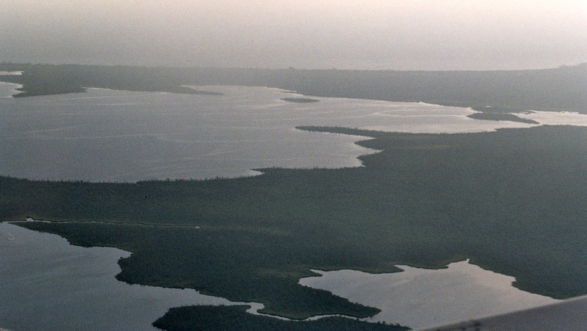
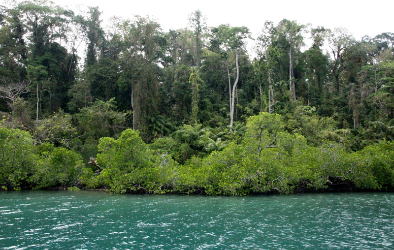
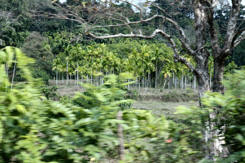
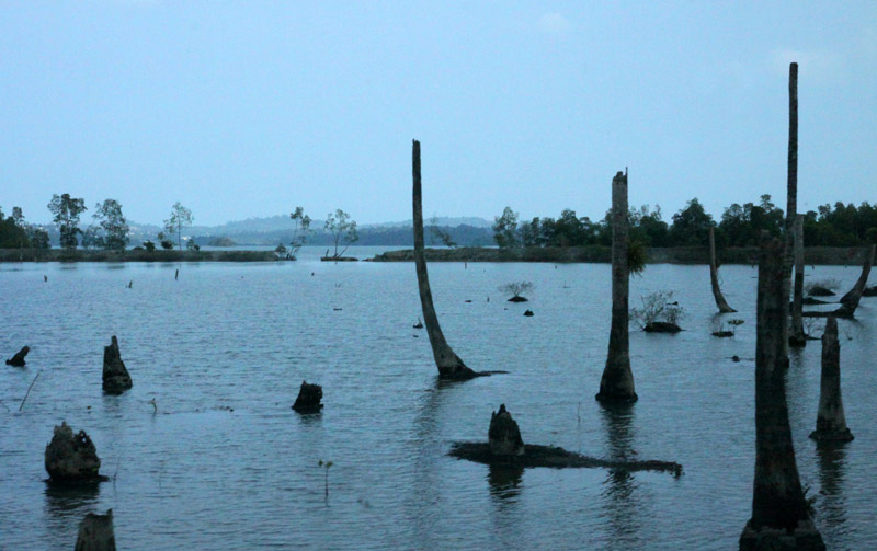
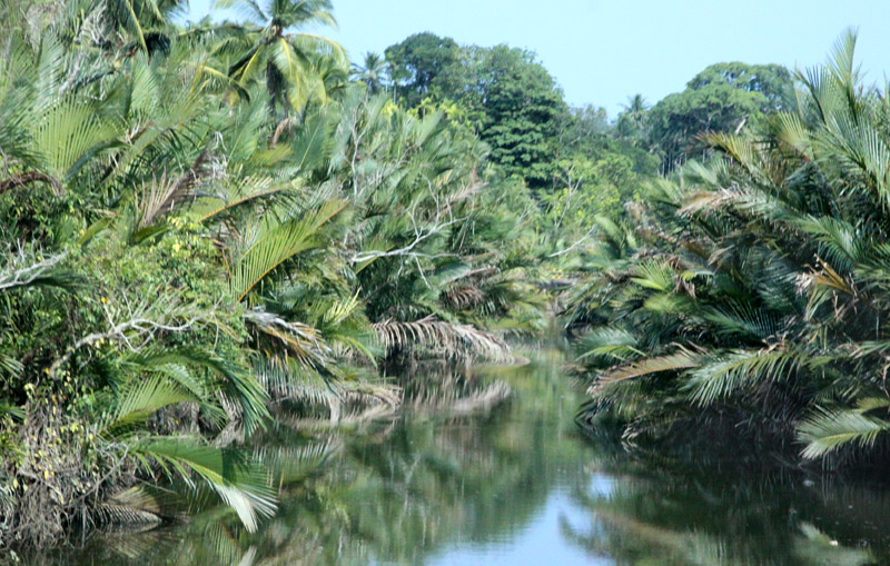
Like the rest of the archipelago, it was struck by the 2004 Indian Ocean earthquake, leading to many deaths on the island. South Andaman is the third largest island in the island group. It is located immediately south of Middle Andaman Island, from which it is separated only by a narrow channel, a few hundred meters wide. The island is 93 km long and 31 km in width. Its area is 1348 km². It had a population of 181,949 as of the 2001 census. South Andaman is less mountainous than the more northerly of the Andaman Islands. Koiob reaches a height of 456.6 meters.

Source: Wikipedia (under GNU Free Documentation License)

Categories
Guinea-Bissau

Bissau

Bissau is the capital city of Guinea-Bissau. The city’s borders are conterminous with the Bissau Autonomous Sector. In 2007, the city had an estimated population of 407,424 according to the Instituto Nacional de Estatística e Censos. The city which is located on the Geba River estuary, off the Atlantic Ocean, is the country’s largest city, major port, administrative and military center.

The city was founded in 1687 by Portugal as a fortified port and trading center. In 1942 it became the capital of Portuguese Guinea. After the declaration of independence by the anti-colonial guerrillas of PAIGC, in 1973, the capital of the de facto independent territories was declared to be Madina do Boe, but Bissau remained as the capital of the Portuguese-occupied regions, and the de jure capital of the entire Portuguese Guinea. When Portugal recognized the independence of Guinea-Bissau and pulled out in 1974 due to the military coup of April 25 in Lisbon, the two territories merged and Bissau became the capital of the new independent state.

Bissau is the country’s largest city, major port, educational, administrative and military center. Peanuts, hardwoods, copra, palm oil, and rubber are the chief products. The airport that serves Bissau is Osvaldo Vieira International Airport. Poverty and lack of development is widespread.

Source: Wikipedia (under GNU Free Documentation License)

Categories
Marquesas French Polynesia

Nuku Hiva

Nuku Hiva (sometimes spelled “Nukahiva”) is the largest of the Marquesas Islands in French Polynesia, an overseas territory of France in the Pacific Ocean. It was formerly also known as Île Marchand and Madison Island.

Herman Melville wrote his book Typee based on his experiences in the Taipivai valley in the eastern part of Nuku Hiva. Robert Louis Stevenson’s first landfall on his voyage on the Casco, was at Hatiheu, on the north side of Nuku Hiva, in 1888. Nuku Hiva was also the site for Survivor: Marquesas, the fourth installment of the popular CBS reality television show in the US.

The coastline of western Nuku Hiva is characterized by a steep, but fairly regular coastline, indented occasionally by small bays leading to deep valleys, which lead into the interior. There are no villages on this side.The central part of the island is a high plateau called Tōvi‘i, covered primarily by a tall-grass prairie, on which experiments in cattle raising are taking place for the first time — 15 years ago all the cattle were wild and hunted with rifles.

Nuku Hiva is administratively part of the commune (municipality) of Nuku-Hiva, itself in the administrative subdivision of the Marquesas Islands.

The administrative centre of the commune of Nuku-Hiva and also of the administrative subdivision of the Marquesas Islands is the settlement of Taiohae, located on the south side of Nuku Hiva, at the head of the bay of that same name.

Source: Wikipedia (under GNU Free Documentation License)

Categories
French Polynesia Society Islands

Raiatea

Somewhat smaller than Tahiti, Raiatea is the second largest of the Society Islands in French Polynesia. The proper spelling of the name, rarely used though, in the Tahitian language is Ra’iatea, meaning bright sky; Ulieta is an obsolete transcription commonly used in the 19th century. The chief town on Raiatea is Uturoa, administrative center for the Leeward Islands (French Îles Sous-le-vent). The islands of Raiatea and Tahaa are both enclosed by the same coral reef, and may once have been a single island.

Raiatea is both the largest and most populated island in the Leeward Islands, with a land area of 167.7 km² (64.7 sq. miles) and a total population of 12,024 inhabitants at the August 2007 census. The population density is 72 inhabitants per km². Ra’iatea is widely regarded as the ‘center’ of Polynesia and it is likely that the organised migrations to Hawaii, Aoteroa (New Zealand) and other parts of East Polynesia started at Ra’iatea. A traditional name for the island is Havai’i fanau fenua (Hawai’i birther of land).

Source: Wikipedia (under GNU Free Documentation License)

Categories
Madagascar

Tana

Antananarivo is the capital and largest city in Madagascar. It is also known by its French colonial name Tananarive or the shorthand form Tana. The larger urban area surrounding the city, known as Antananarivo-Renivohitra (“Antananarivo-Capital”), is the capital of the Analamanga region and of the Antananarivo autonomous province.

Unlike most capital cities in southern Africa, Antananarivo was already a major city before the colonial era. The city was founded circa 1625 by King Andrianjaka and takes its name (the City of the Thousand) from the number of soldiers assigned to guarding it. For many years it was the principal village of the Hova chiefs and gained importance as those chiefs made themselves sovereigns of the greater part of Madagascar, eventually becoming a town of some 80,000 inhabitants. In 1793 it was made the capital of the Merina kings. The conquests of King Radama I made Antananarivo the capital of almost all of Madagascar. Until 1869 all buildings within the city proper were of wood or rushes, but even then it possessed several timber palaces of considerable size, the largest being 120 ft (37 m) high. These crown the summit of the central portion of the ridge; and the largest palace, with its lofty roof and towers, is the most conspicuous object from every point of view.

Since the introduction of stone and brick, the entire city has been rebuilt and now contains numerous European-style structures, including the royal palaces, the houses formerly belonging to the prime minister and nobles, the French residency, the Anglican and Roman Catholic cathedrals, and several stone churches. Museum of Ethnology and Paleontology is located in the city.

Source: Wikipedia (under GNU Free Documentation License)

Categories
Cayman Islands

Grand Cayman

Grand Cayman is the largest of the three Cayman Islands at about 196 km² and contains the capital George Town. Towns on the island are referred to as “districts”. The island is a high-lying reef of “ironshore” (limestone fringes with numerous marine fossils), with a highest elevation of roughly 24 metres above sea level. There is no natural fresh water (lakes, rivers, etc) on the island, so any fresh water needs must be met by catchments or desalination of seawater. The lack of rivers does however account for the exceptional clarity of the sea.

The island was devastated by Hurricane Ivan in 2004 from September 11 to September 12. With Category 5 strength, Ivan passed within 30 miles (48 km) of Grand Cayman, hitting it with winds over 180 mph (290 km/h) and gusts up to 200 mph (320 km/h). The island reported no more than a few deaths – none directly caused by the hurricane – but over 80% of the buildings were either damaged or completely destroyed. Ivan was the worst hurricane to hit the island in 86 years.

The eastern side of the island is somewhat undeveloped, while the western side of the island, which holds George Town and the airport, Owen Roberts International Airport, is more developed. Fast food restaurants, night clubs and resorts can be found on the western side of the island. The eastern districts offer more restaurants specialising in native Caymanian cuisine.

Source: Wikipedia (under GNU Free Documentation License)

Categories
Cuba

Cuba

The Republic of Cuba (Spanish: República de Cuba) is an island country in the Caribbean. It consists of the island of Cuba, the Isla de la Juventud, and several archipelagos. Havana is the largest city in Cuba and the country’s capital. Santiago de Cuba is the second largest city. Cuba is home to over 11 million people and is the most populous insular nation in the Caribbean. Its people, culture, and customs draw from diverse sources, including the aboriginal Taíno and Ciboney peoples; the period of Spanish colonialism; the introduction of African slaves; and its proximity to the United States.

The name “Cuba” comes from the Taíno language and though the exact meaning is unclear, it may be translated either as “where fertile land is abundant” (cubao), or as “great place” (coabana). Additionally, there is the claim that native inhabitants called the island “Cubagua” in the Columbus era starting in 1542.

Prior to the arrival of the Spanish, the island was inhabited by Native American peoples known as the Taíno and Ciboney whose ancestors migrated from the mainland of North, Central and South America several centuries earlier. The Taíno were farmers and the Ciboney were farmers and hunter-gatherers; some have suggested that copper trade was significant and mainland artifacts have been found.

Source: Wikipedia (under GNU Free Documentation License)