Categories
Galapagos

Tower

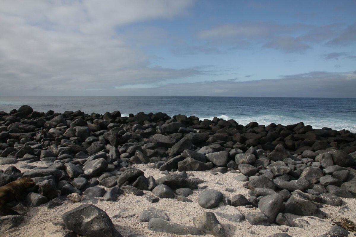
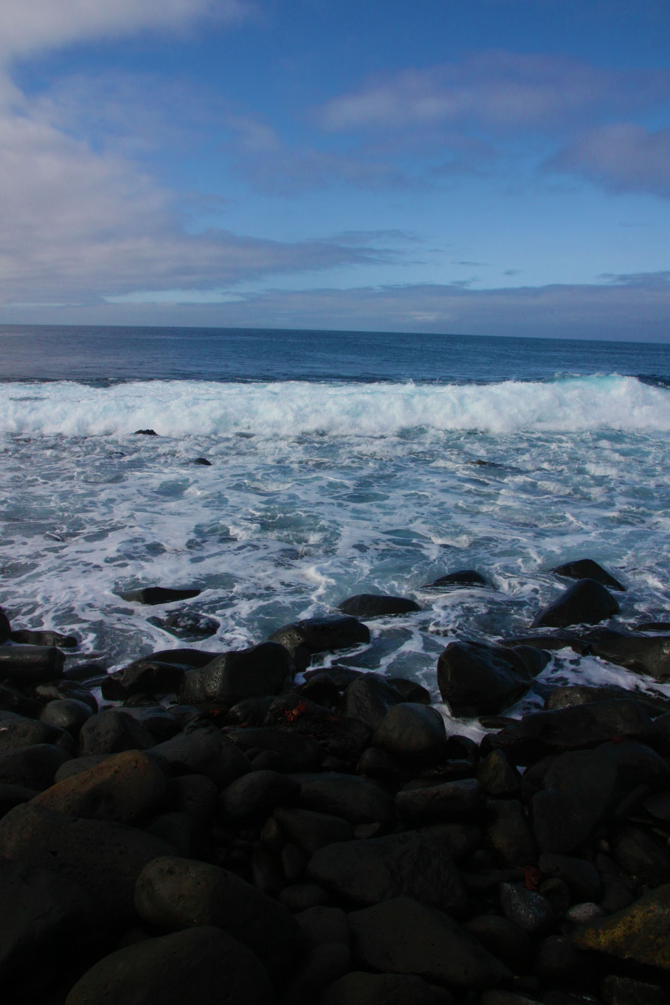
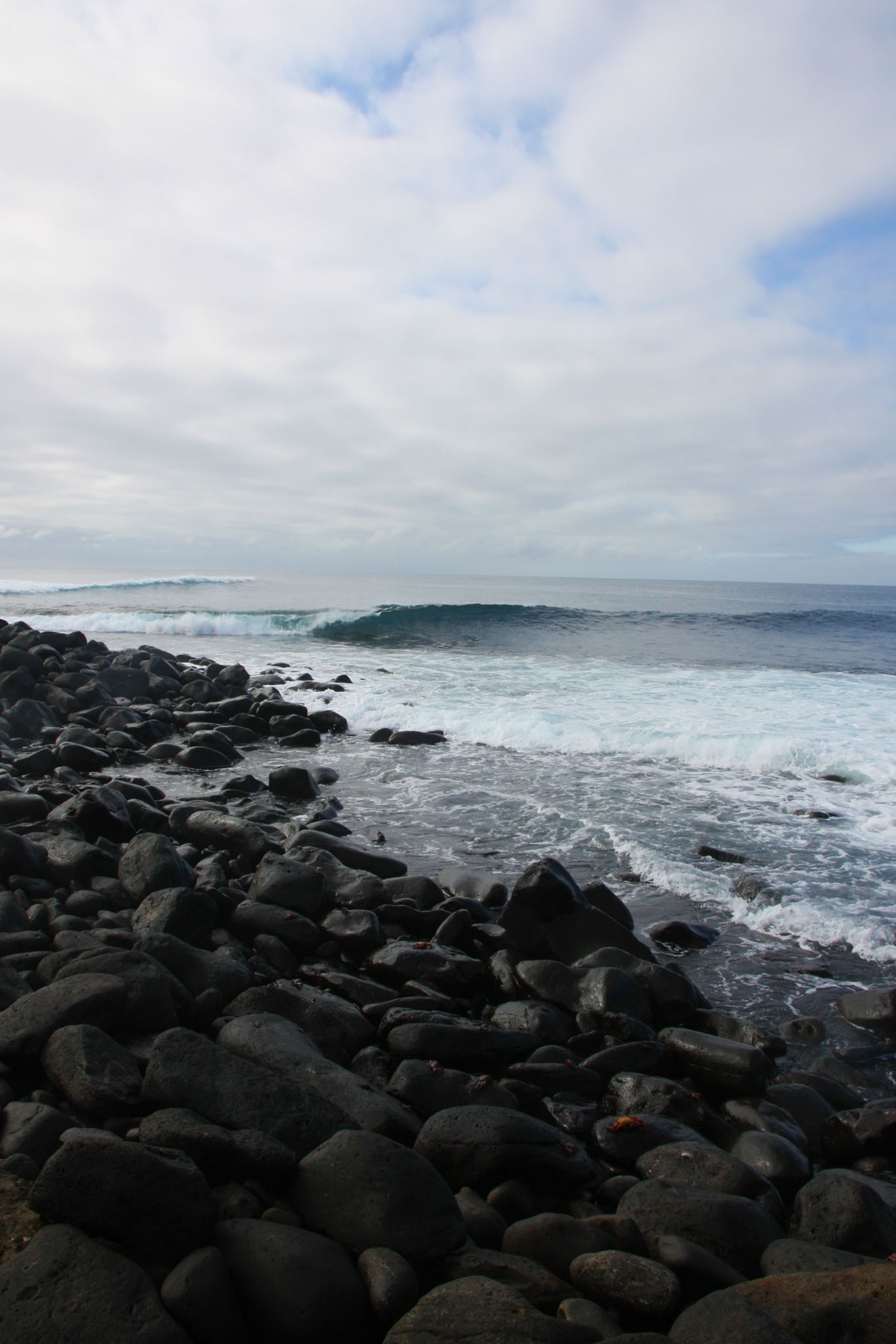
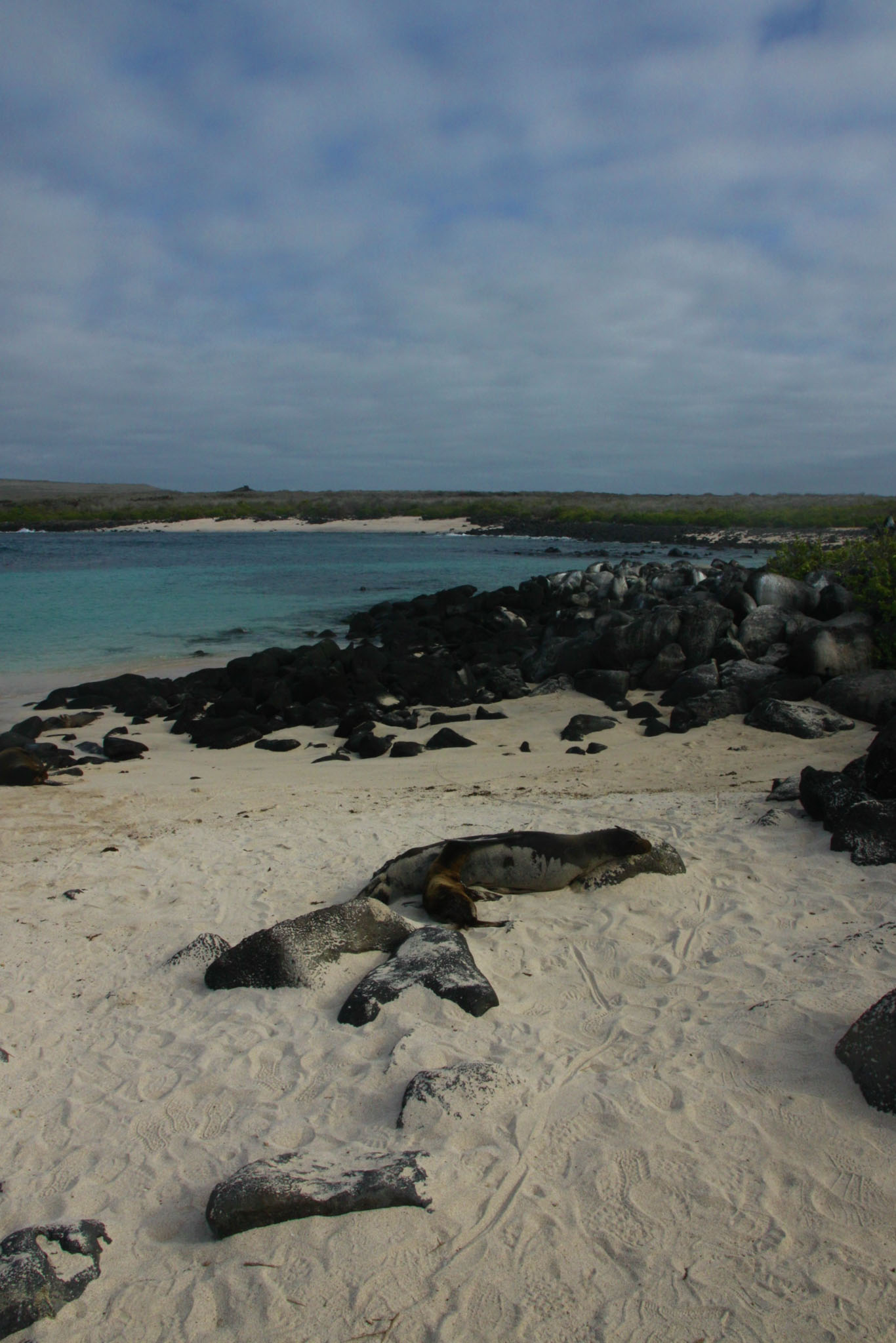
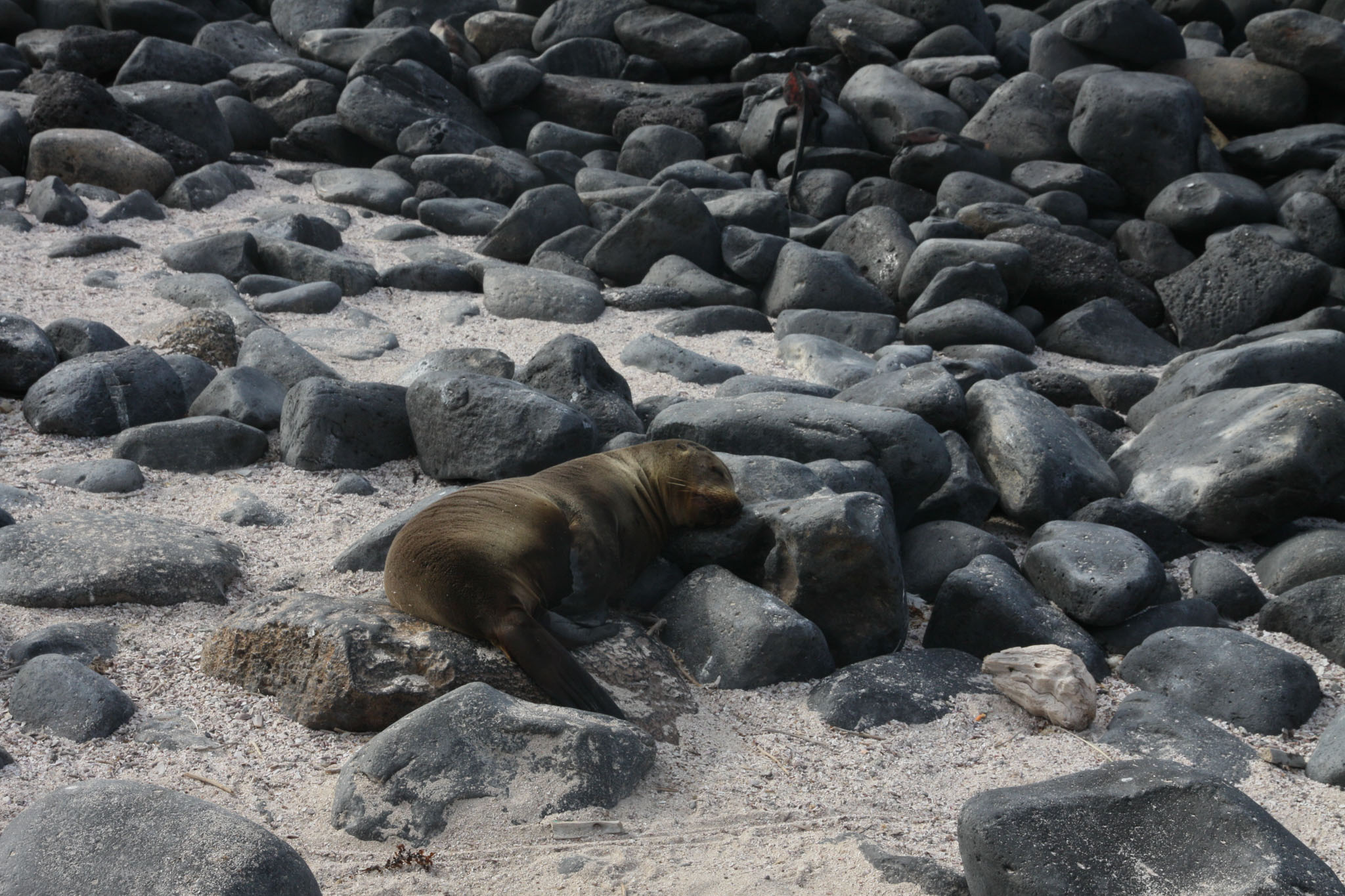
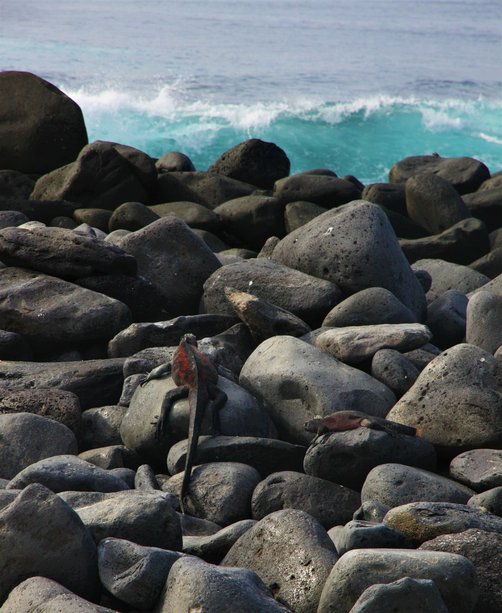
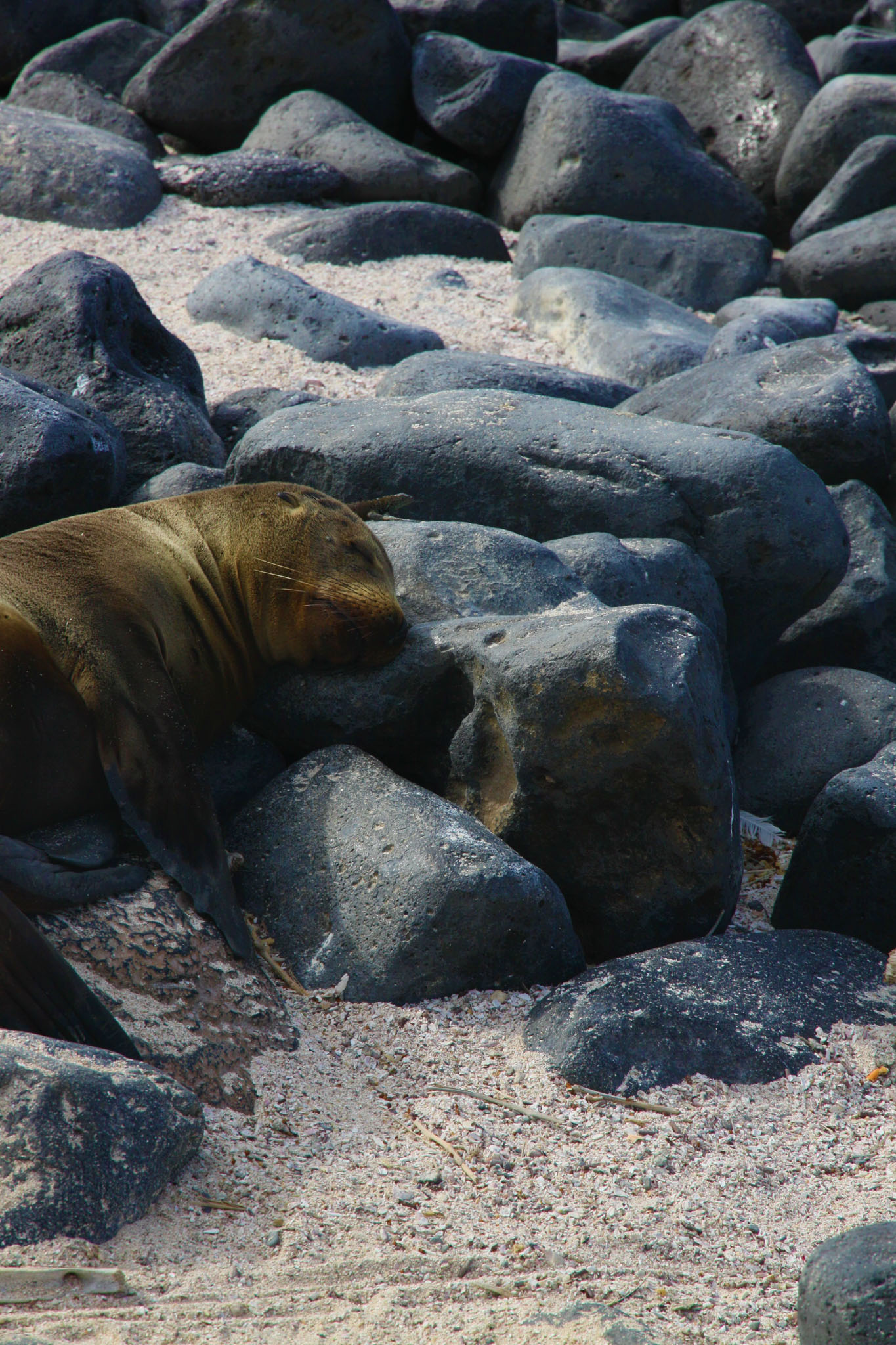
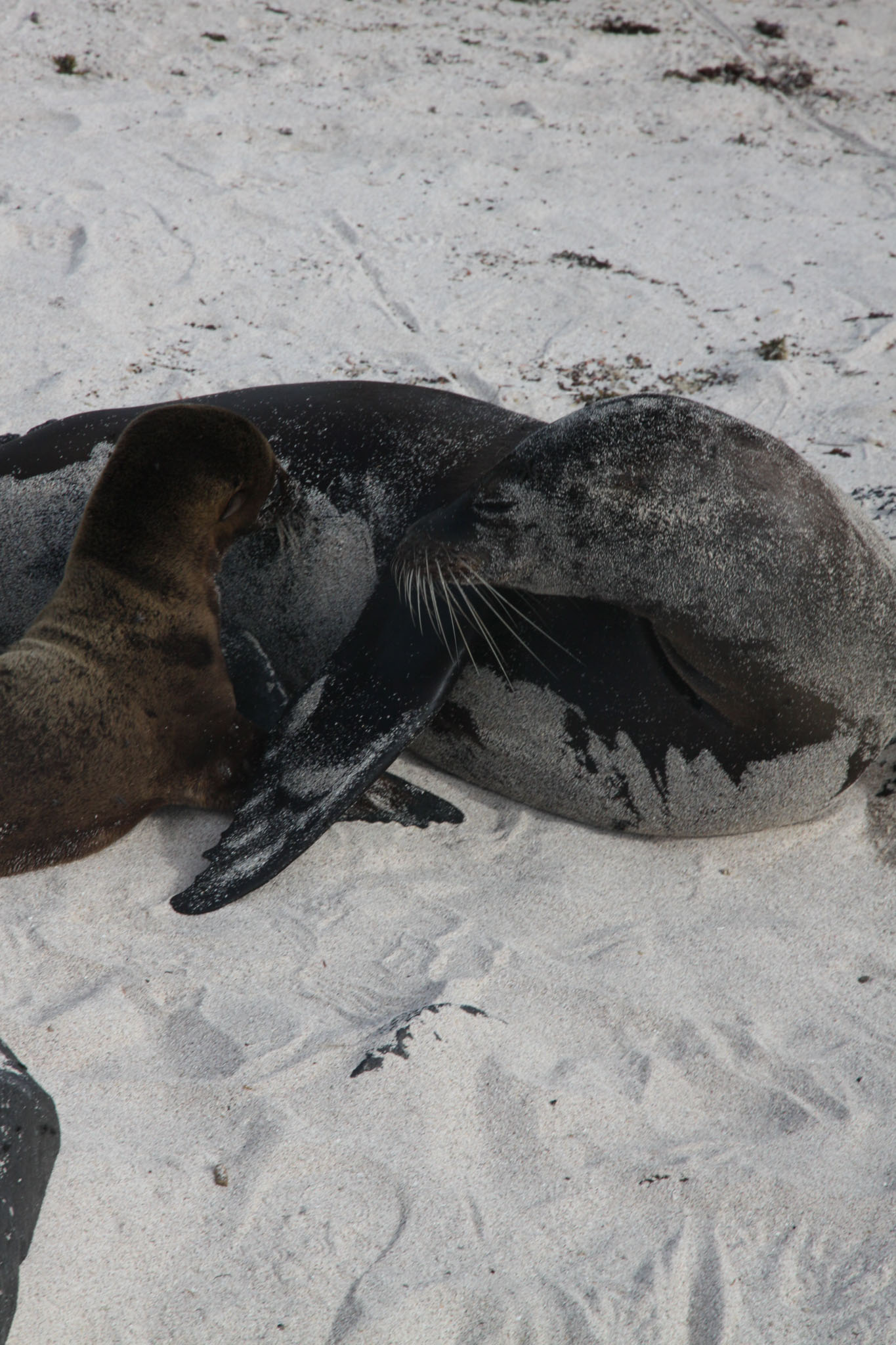
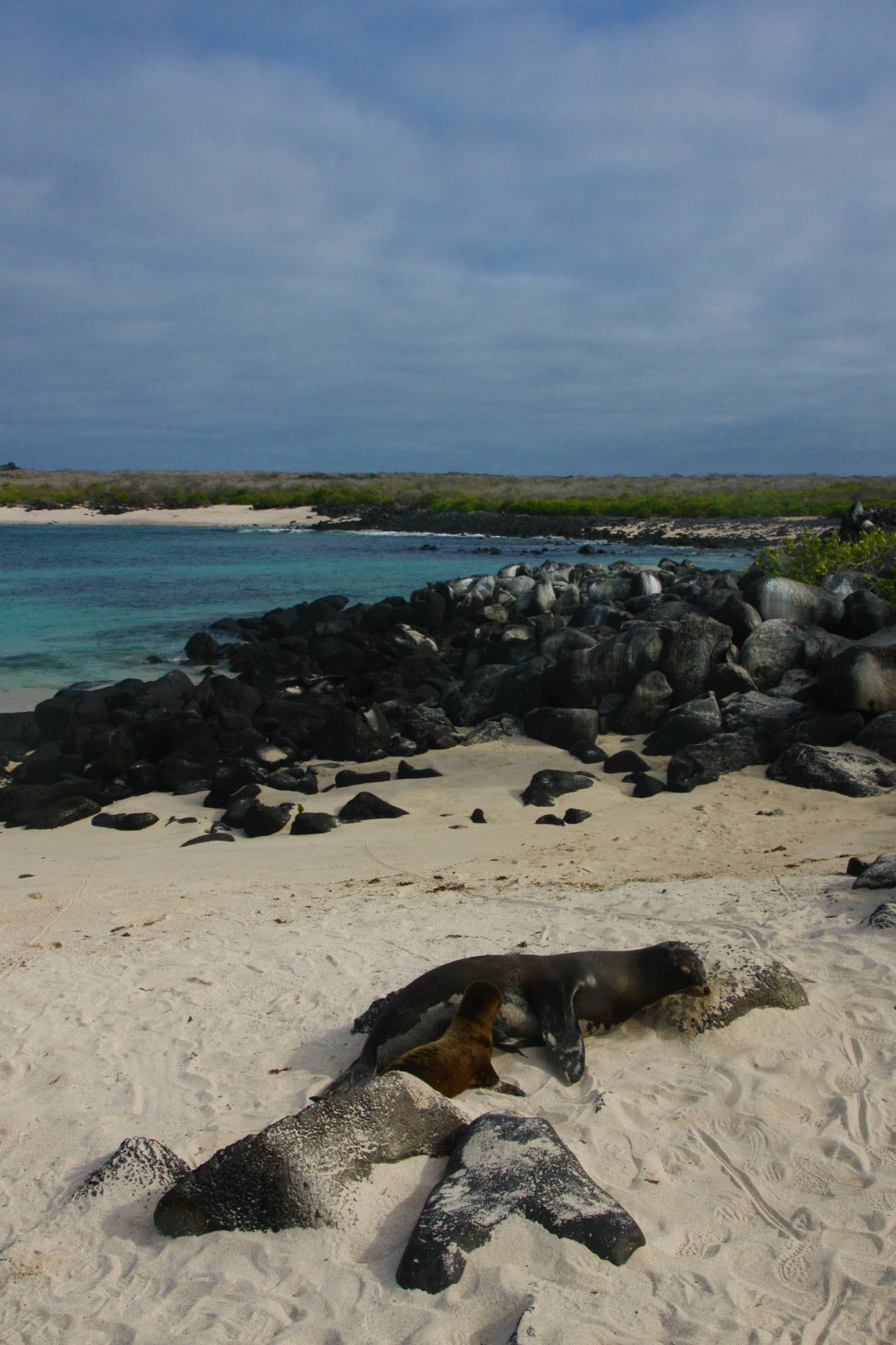
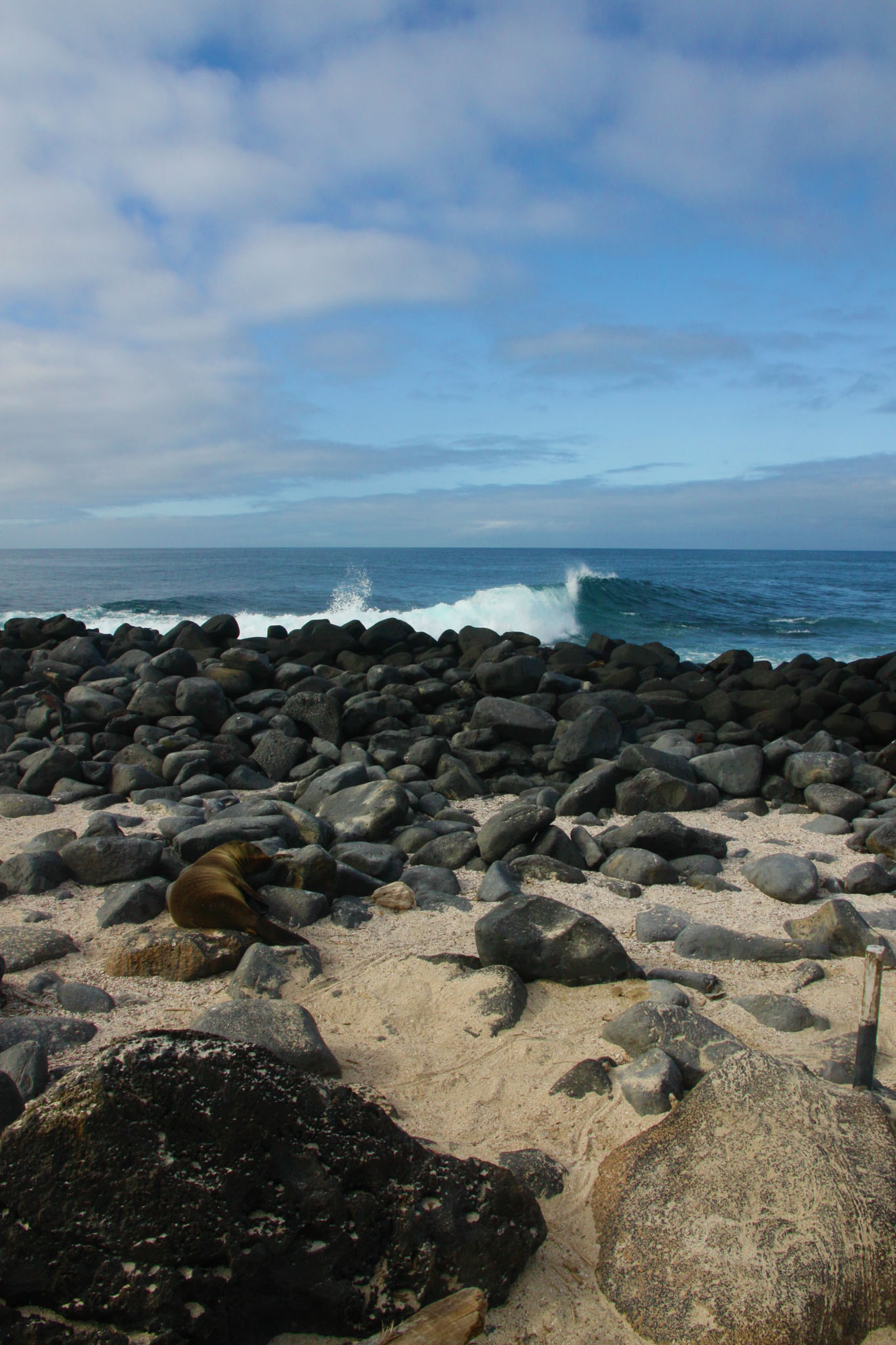
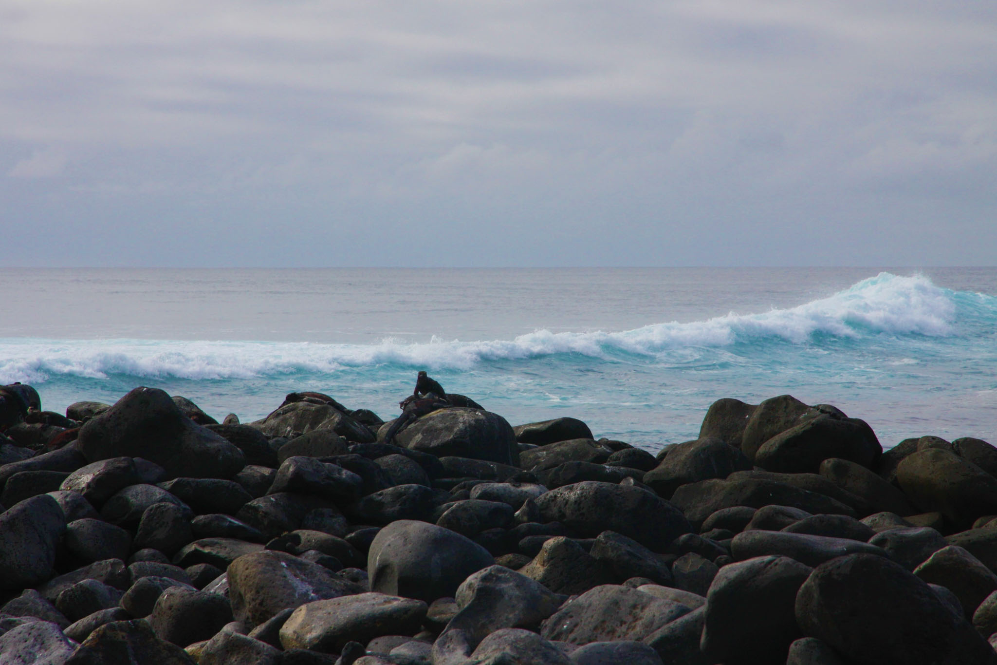
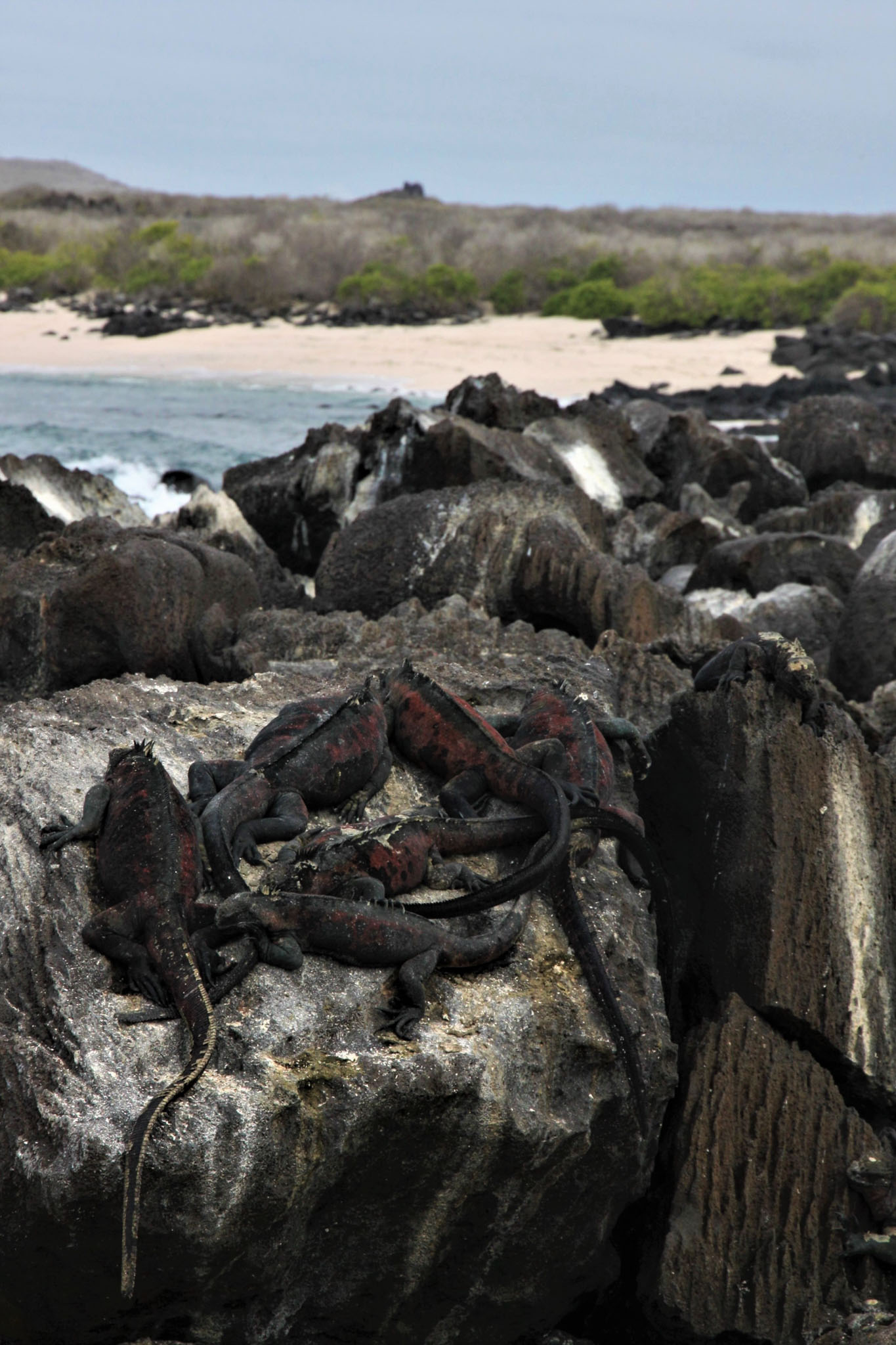
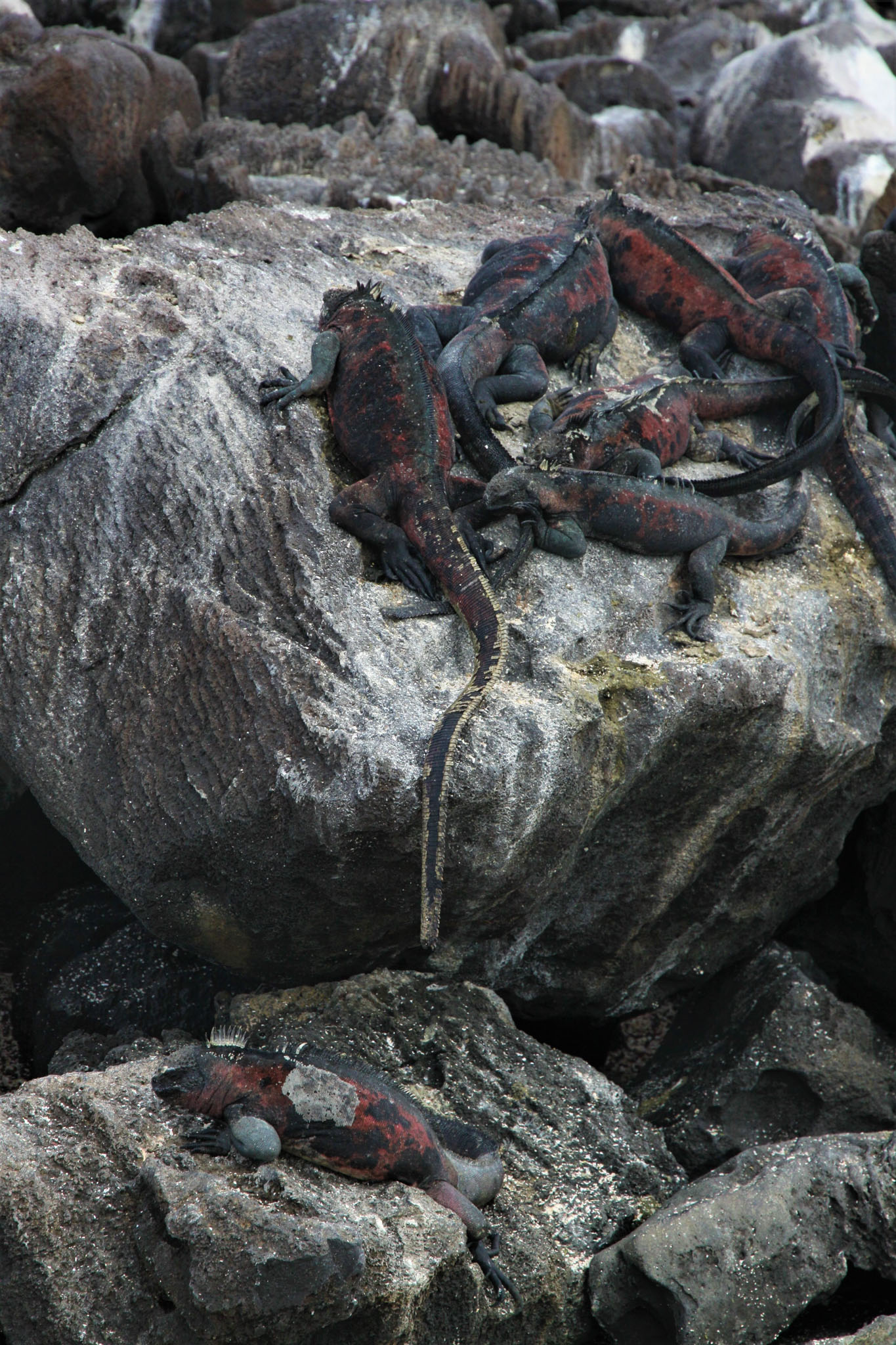
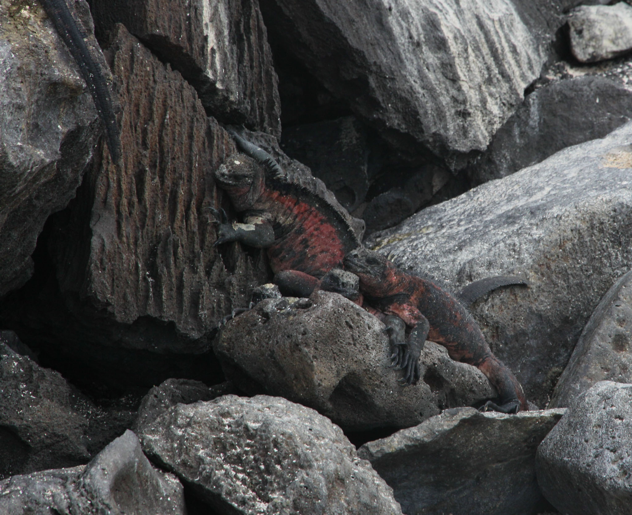
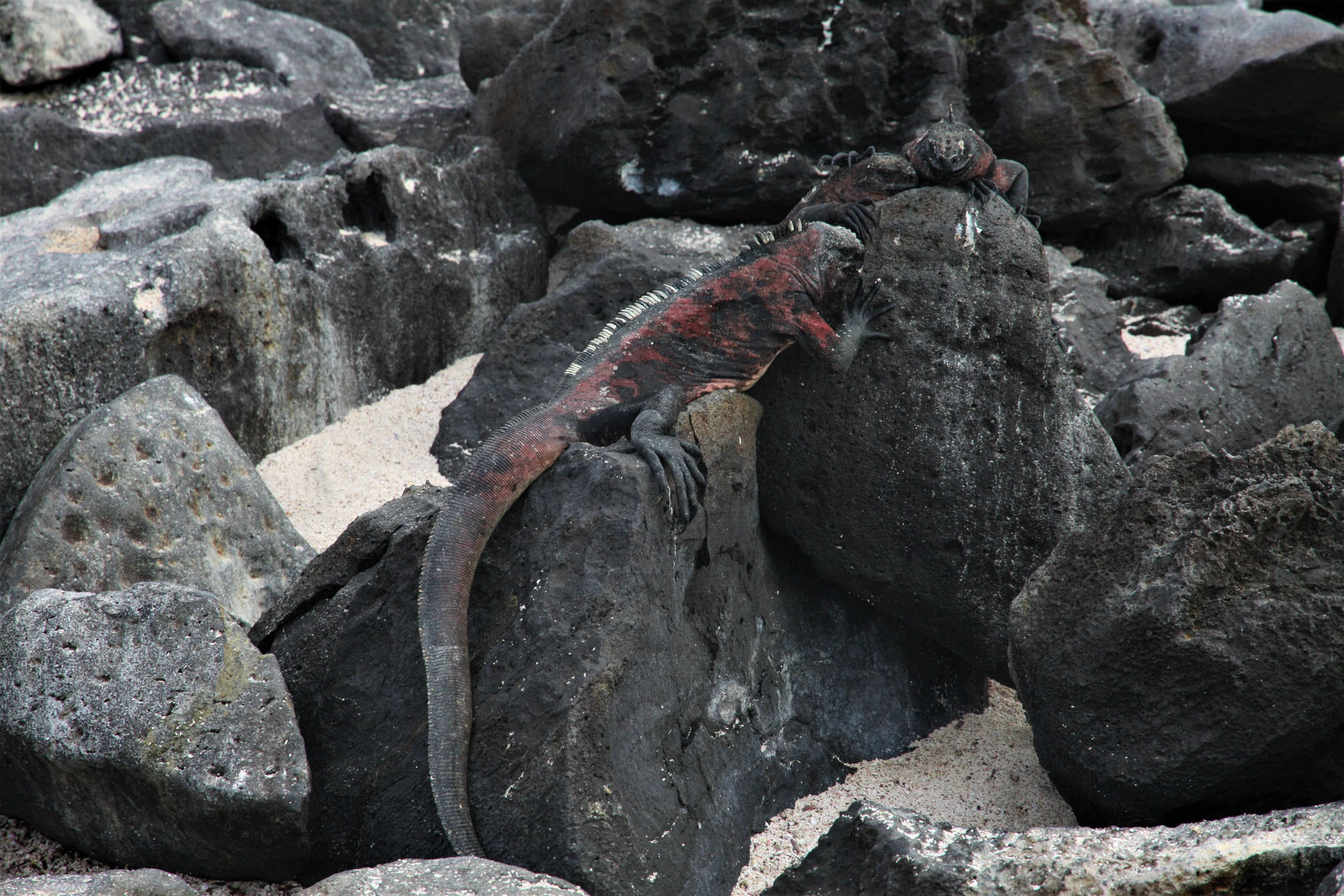
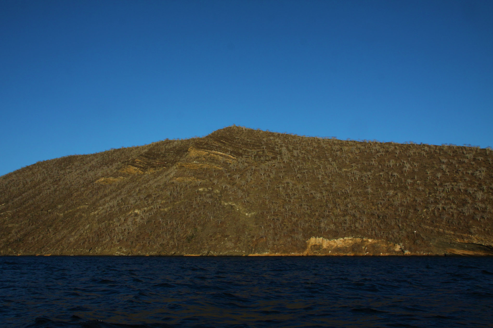
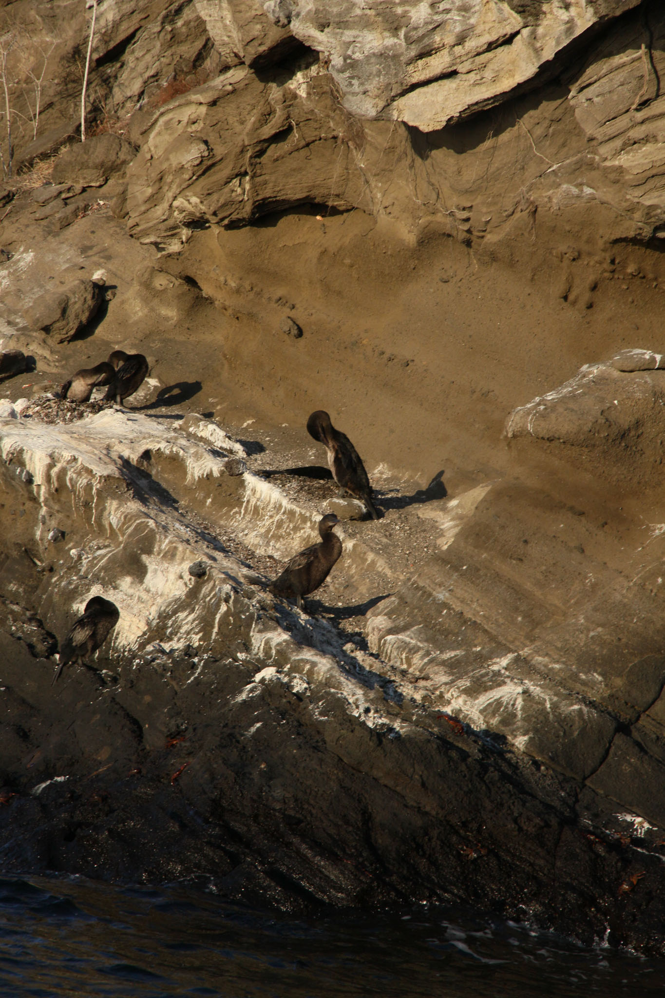
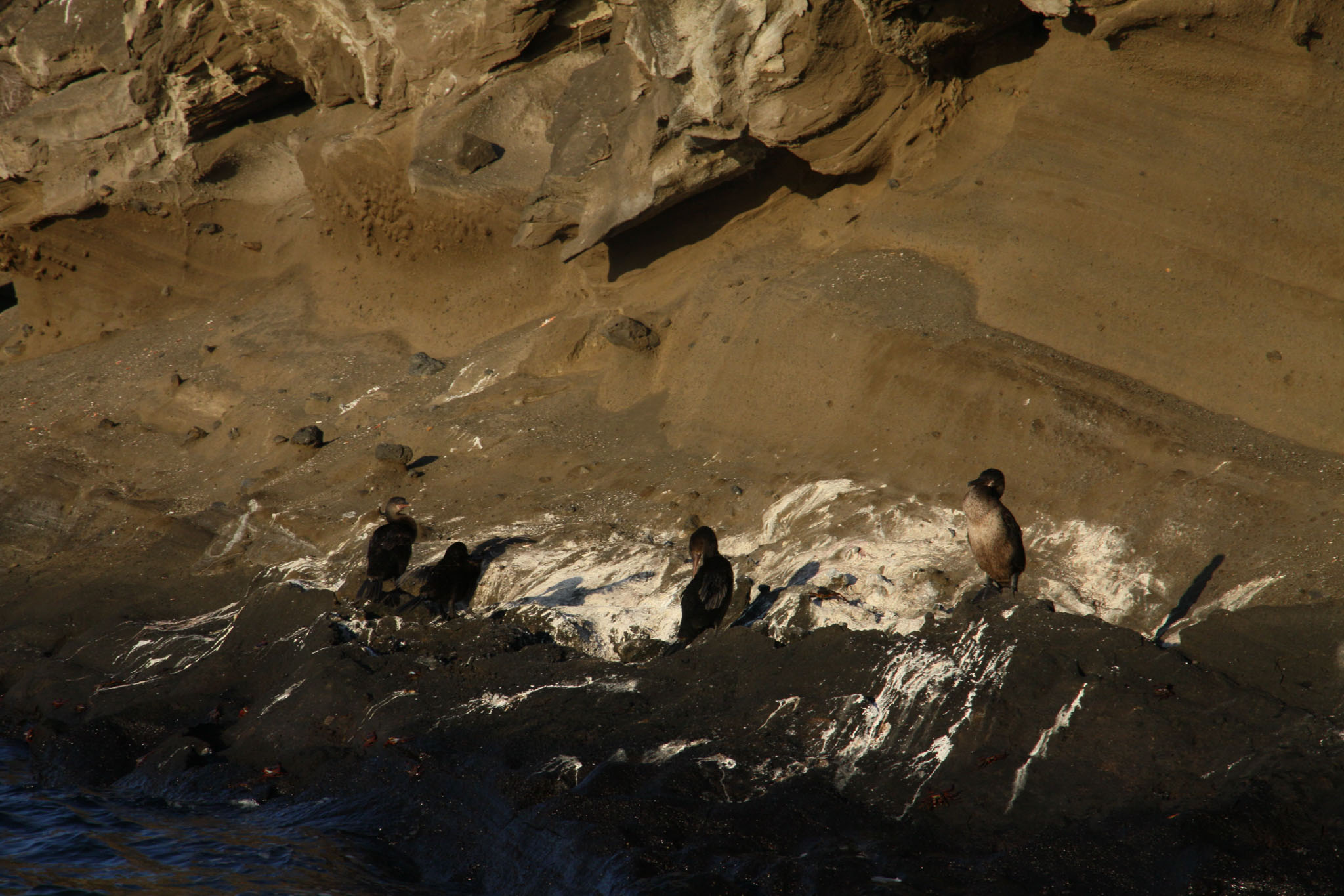
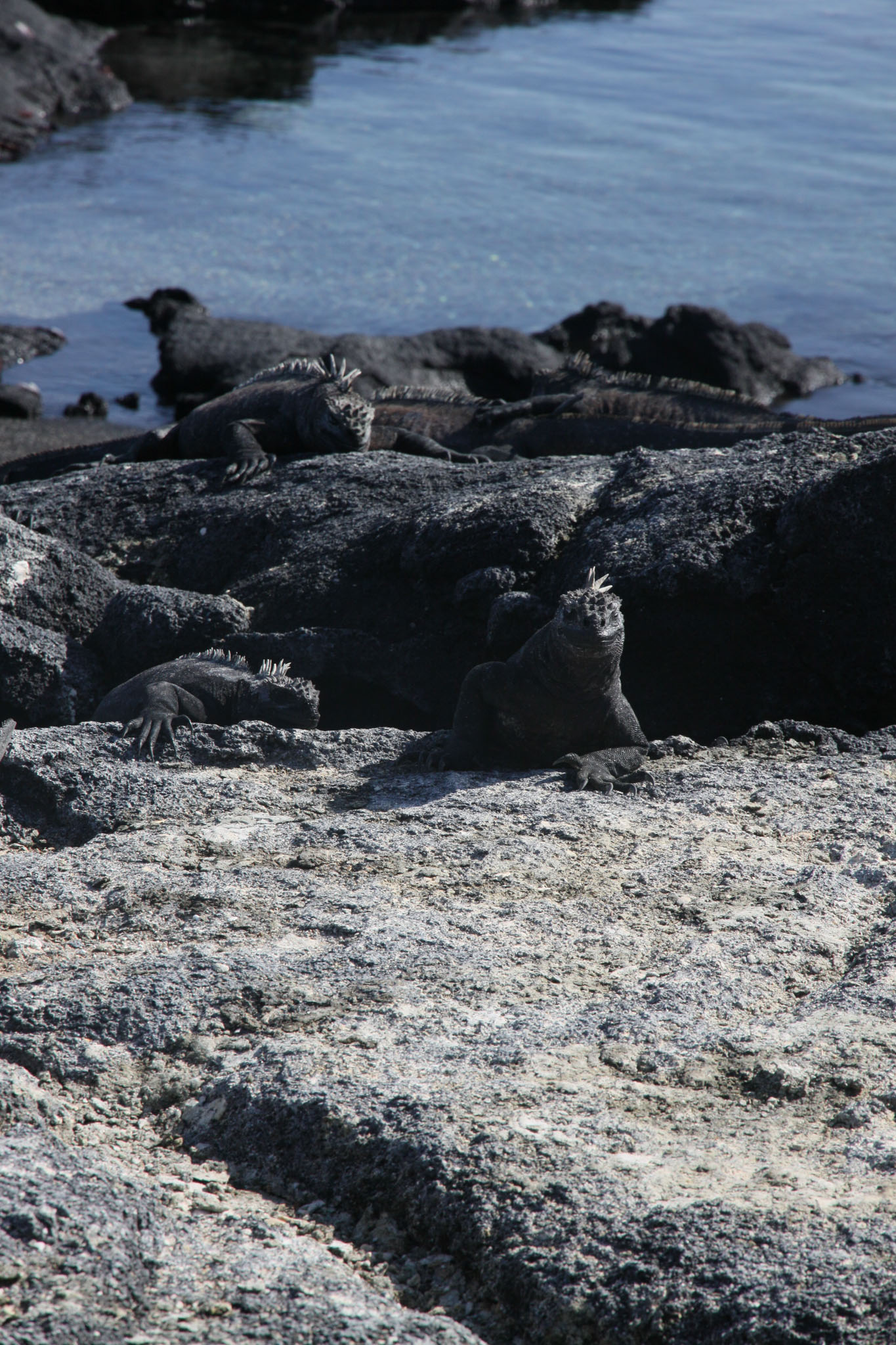
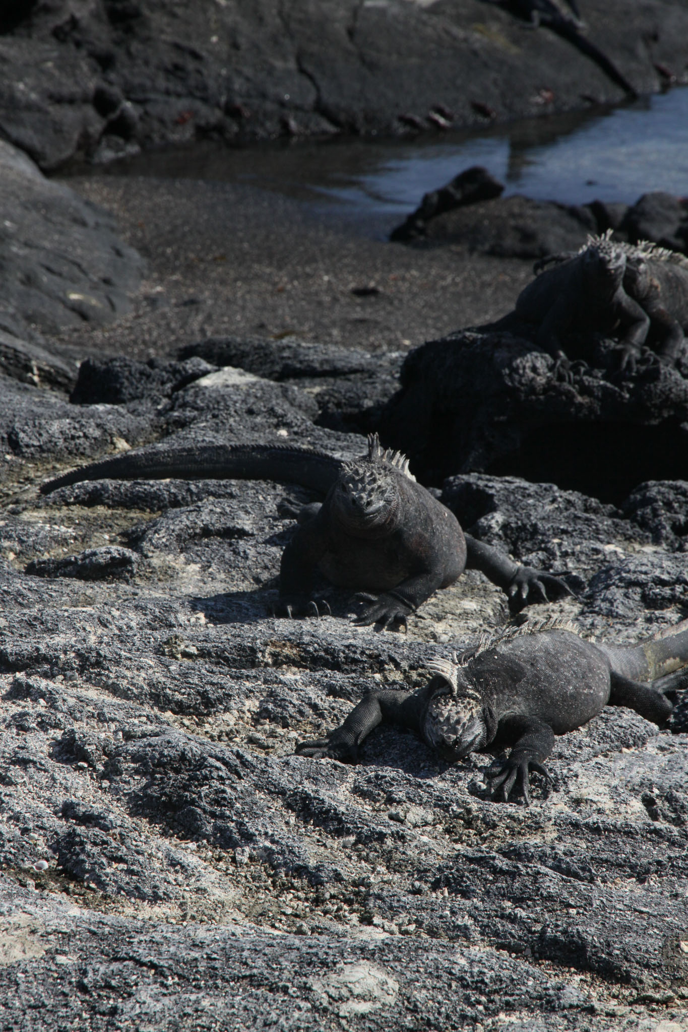
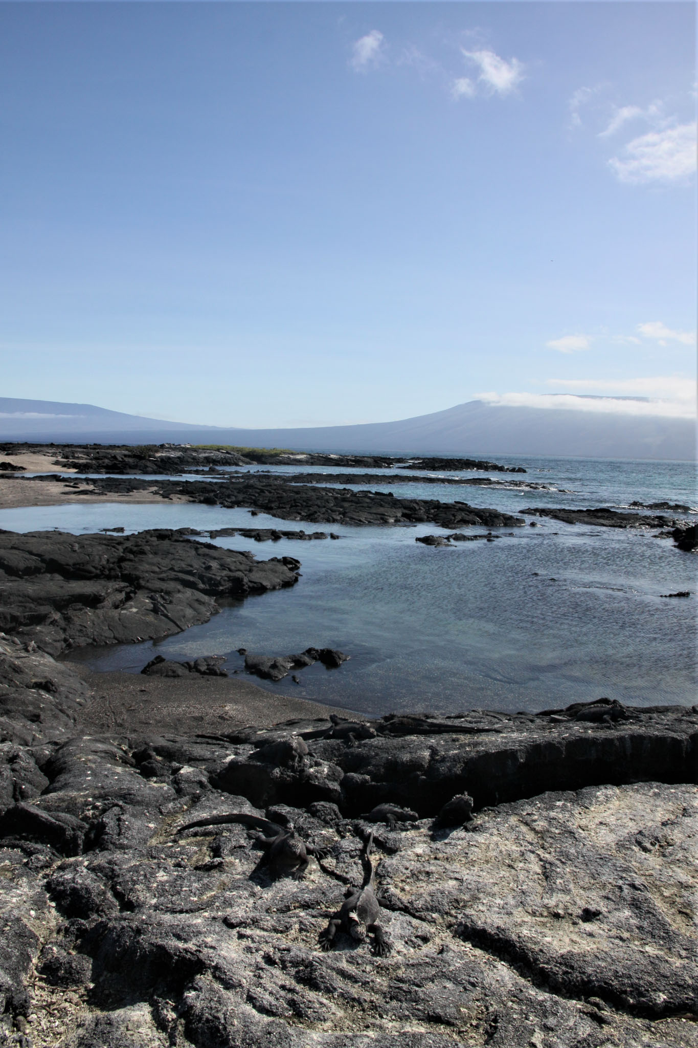
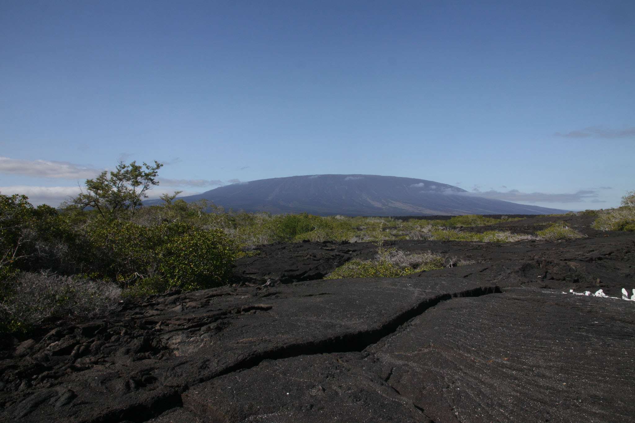
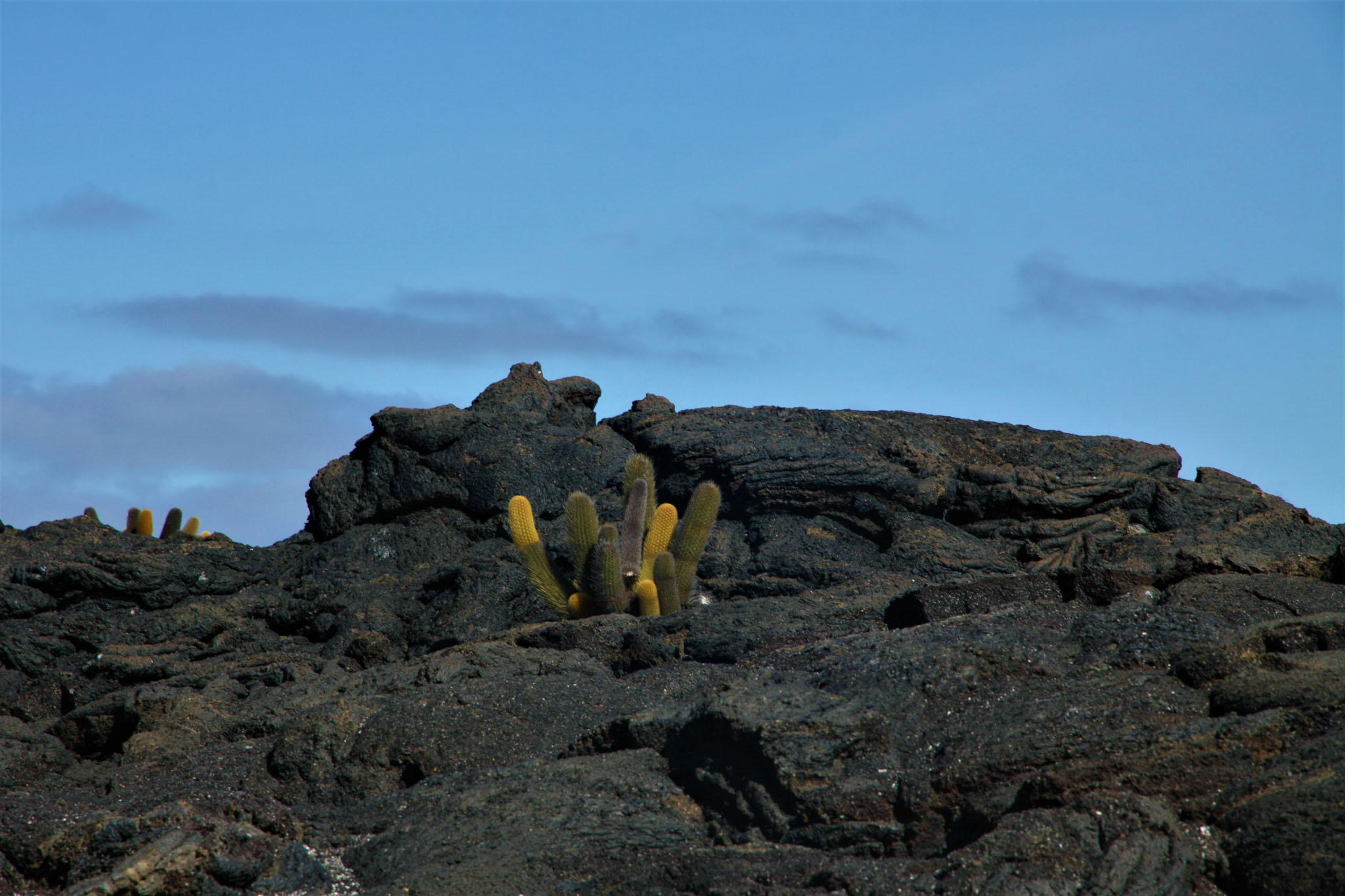
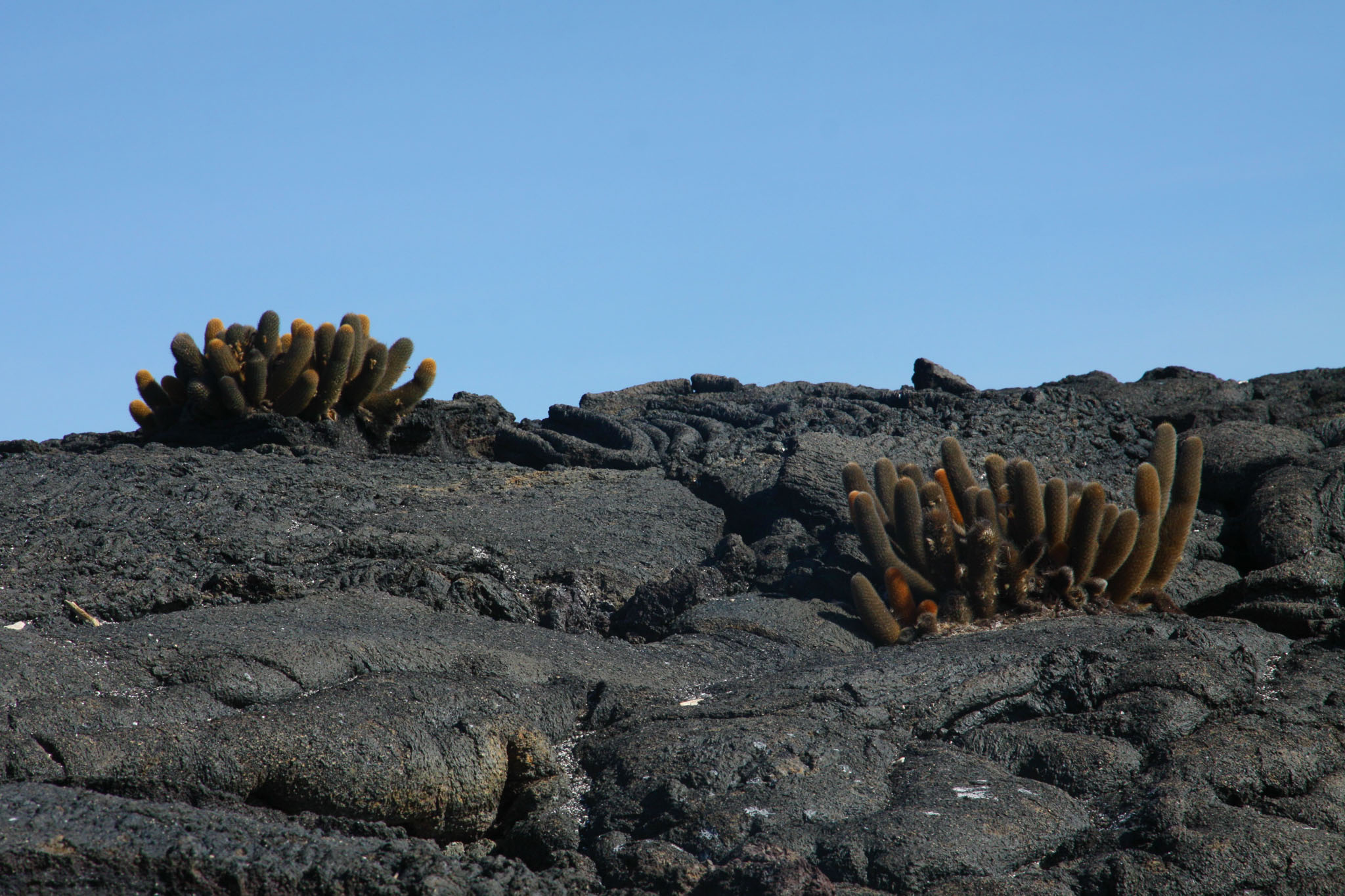
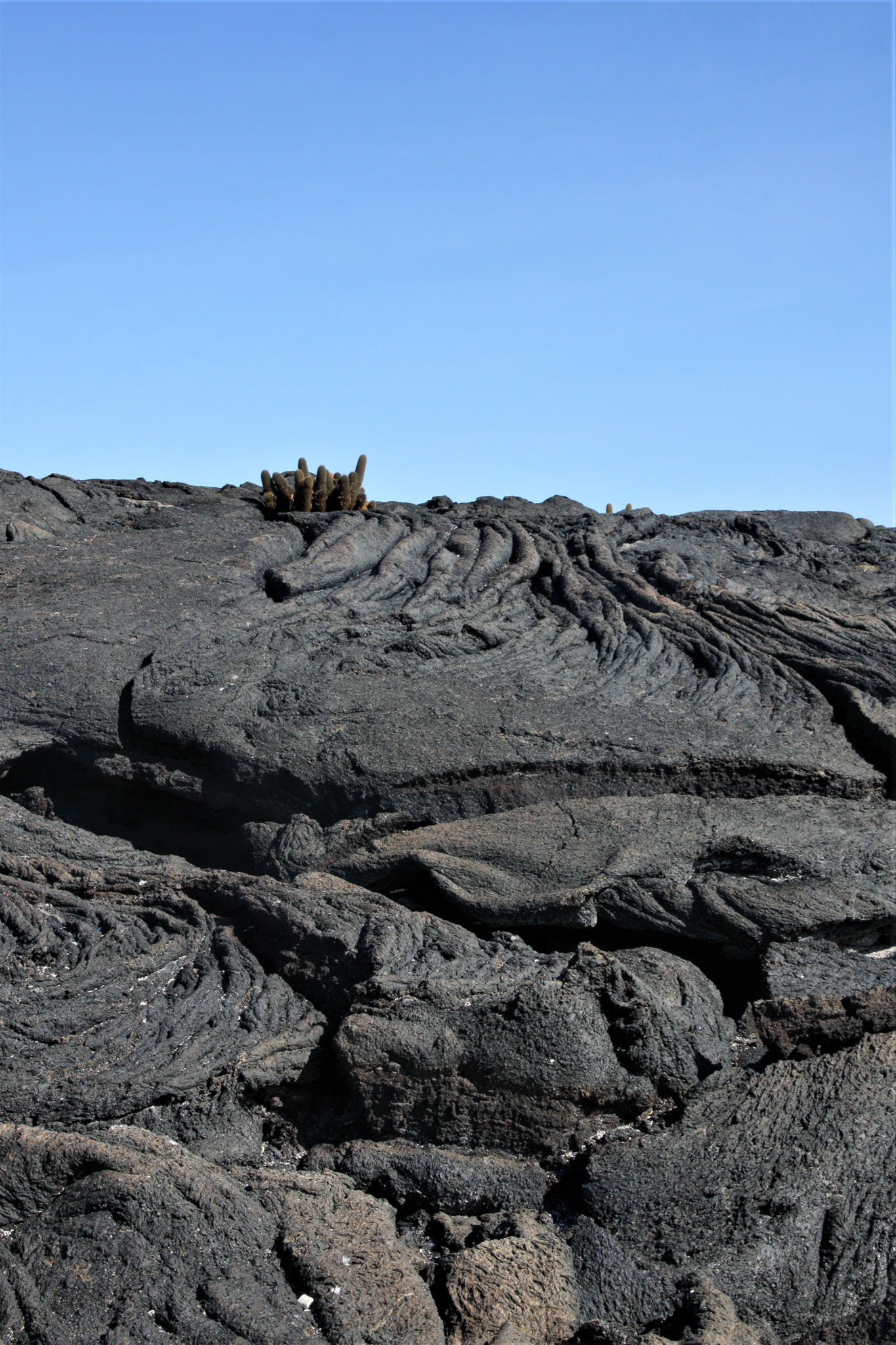
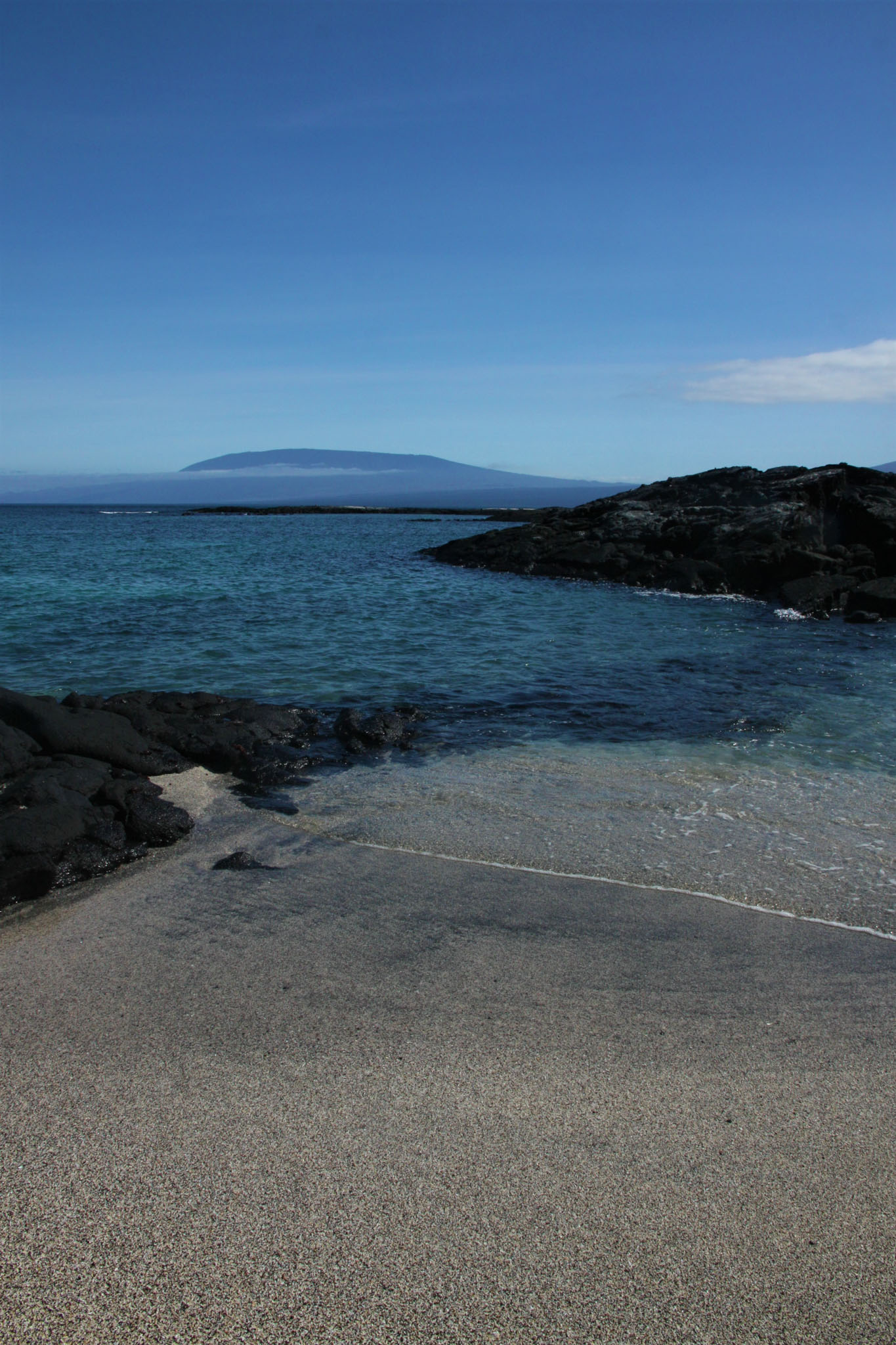
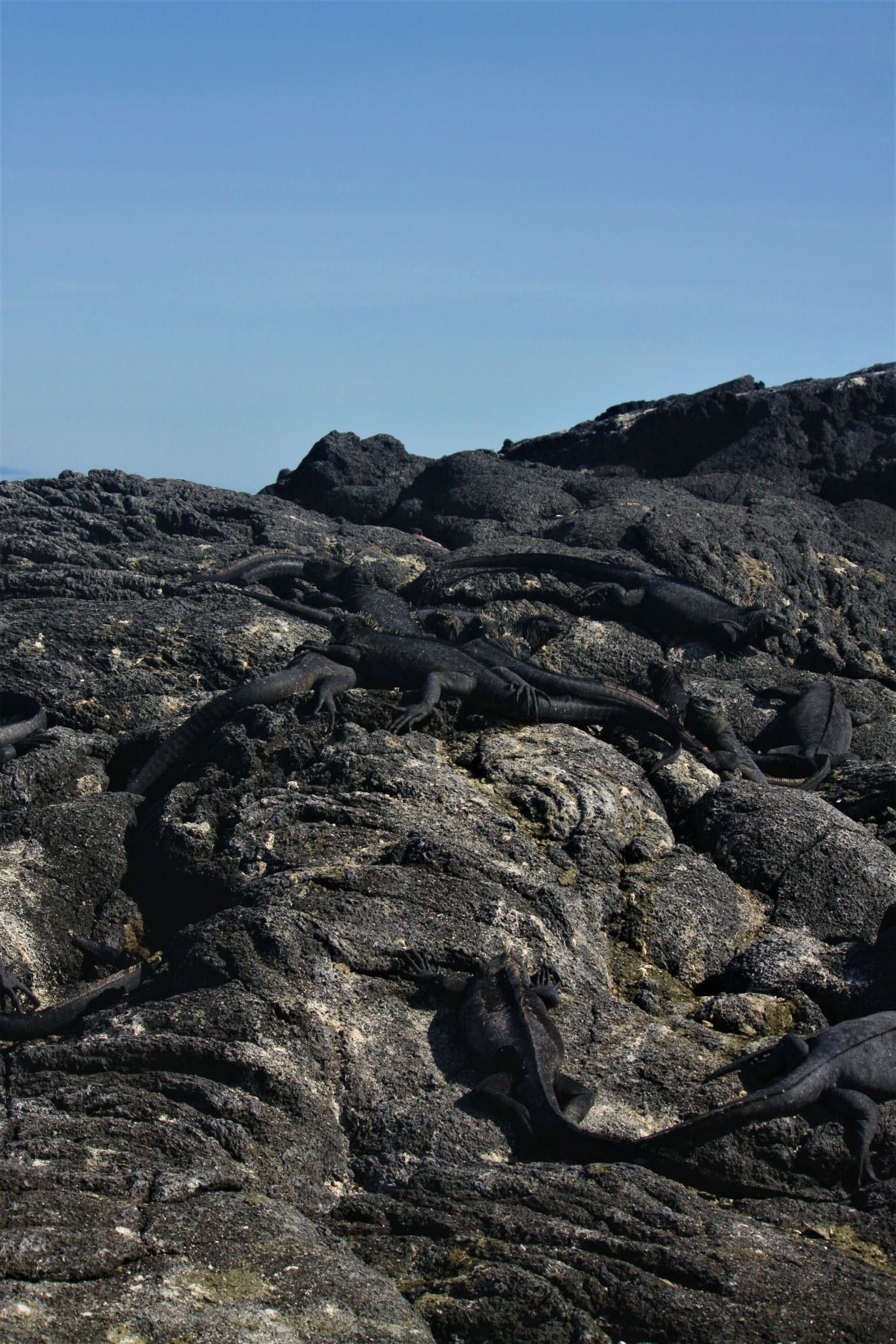
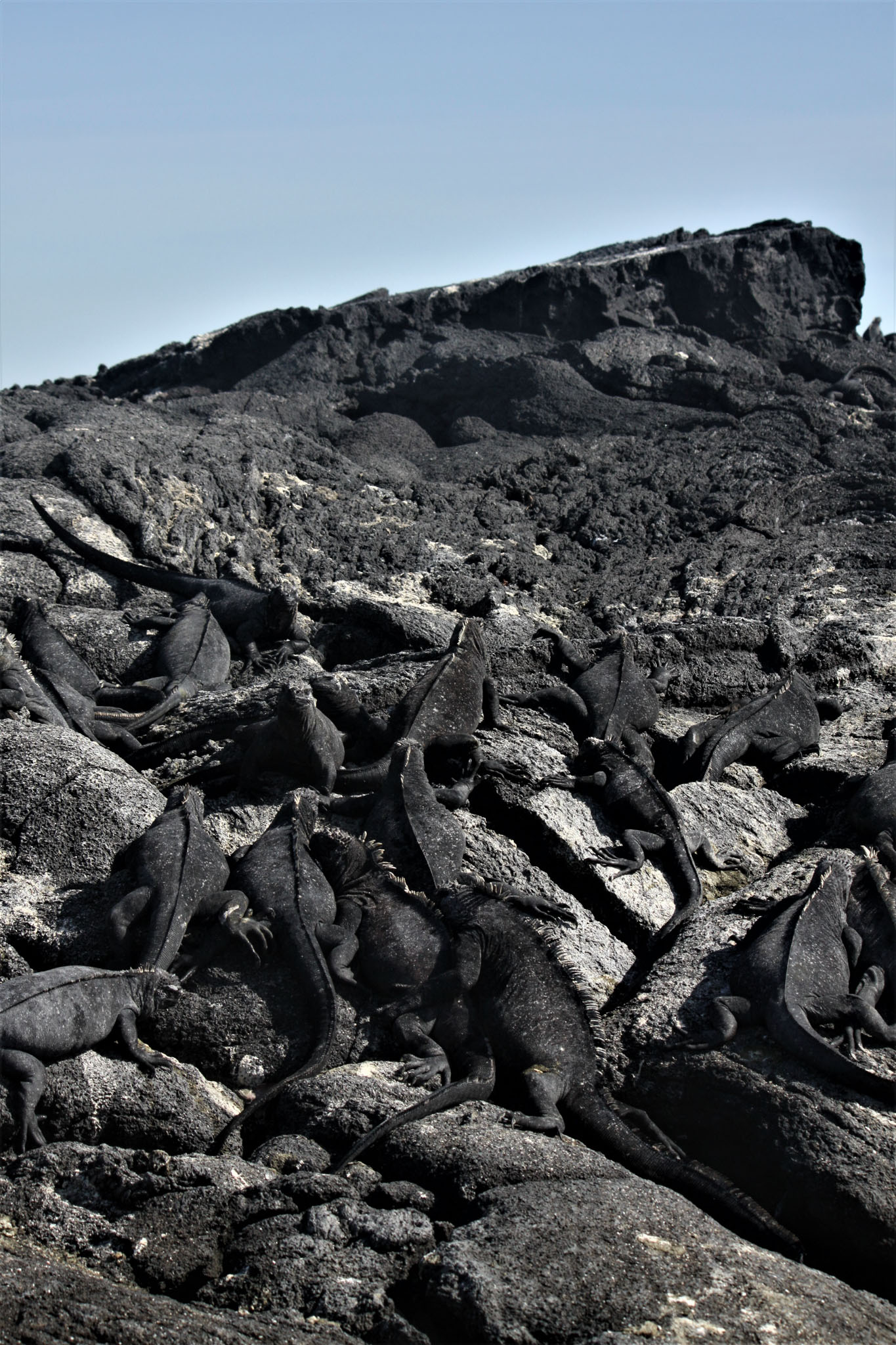
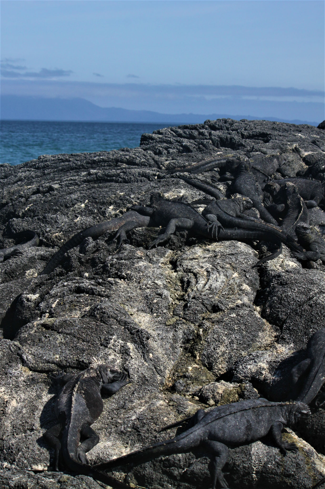
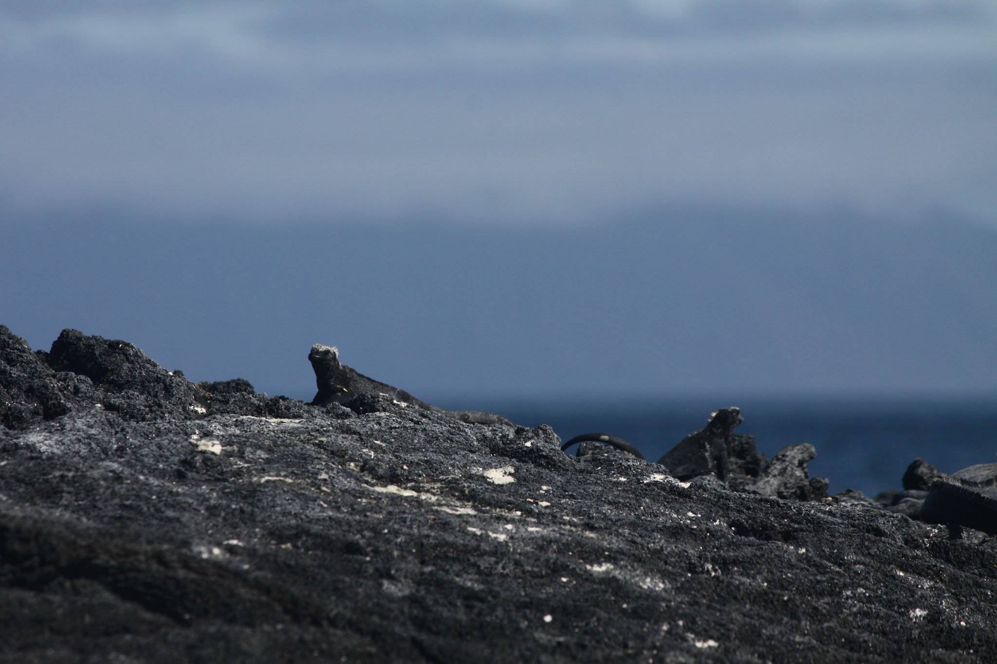
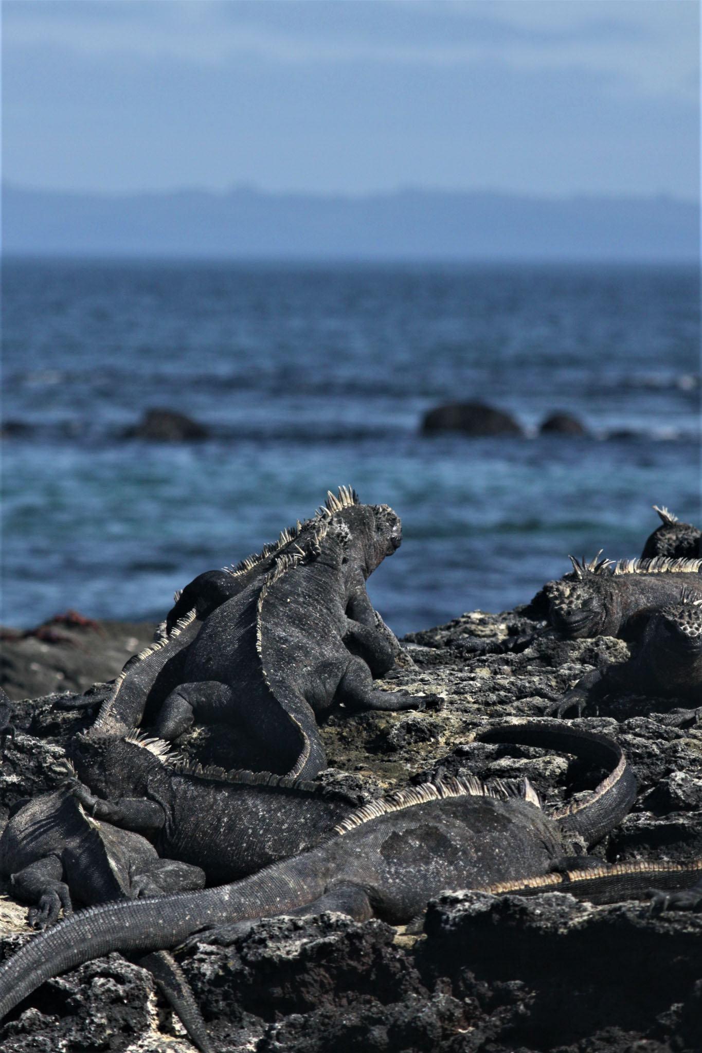
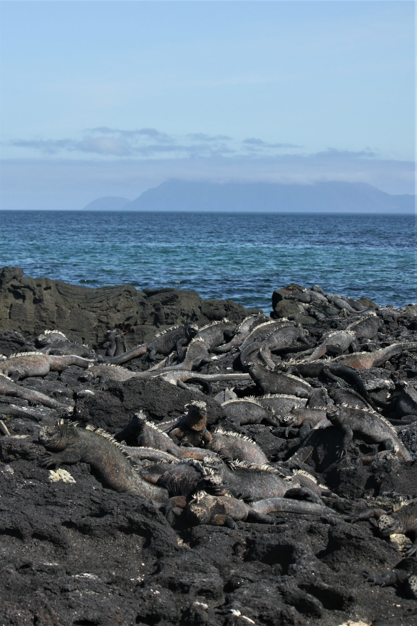
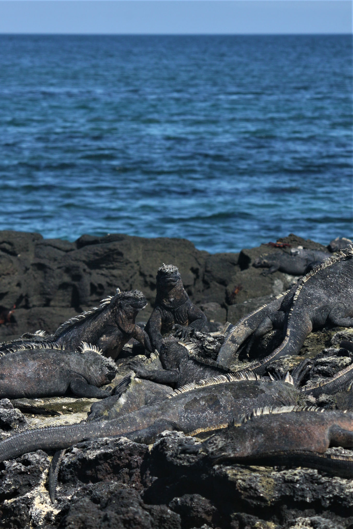
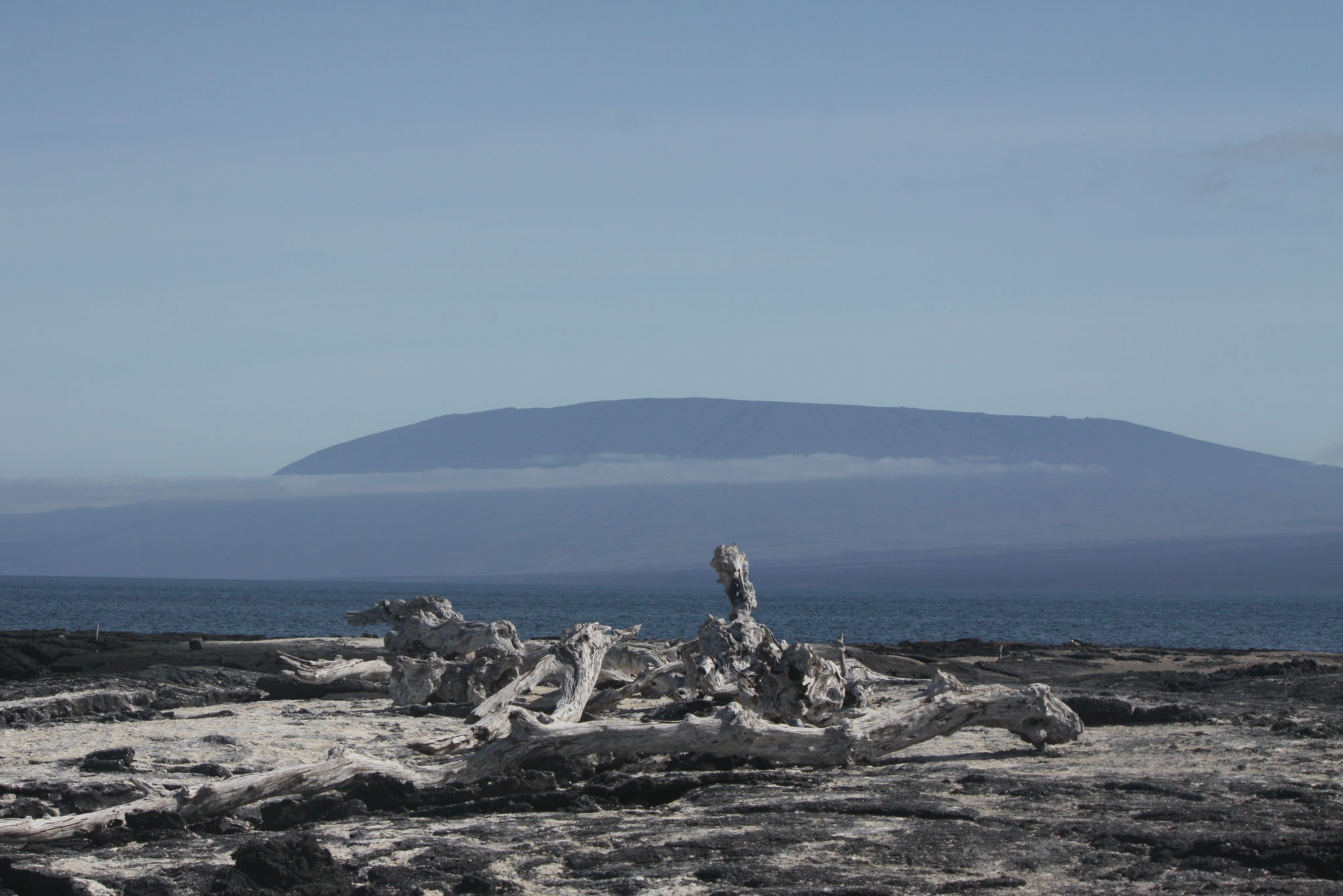
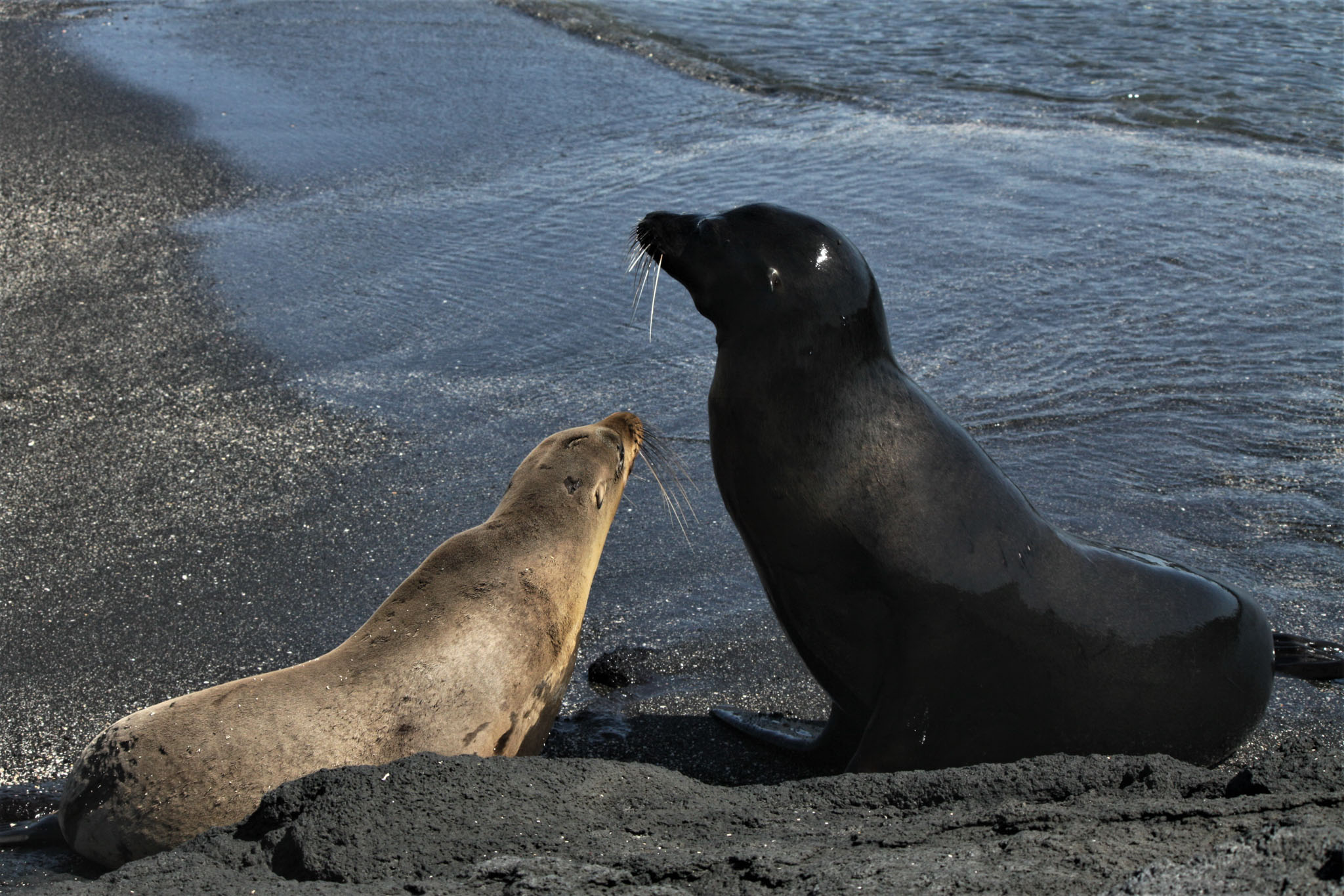
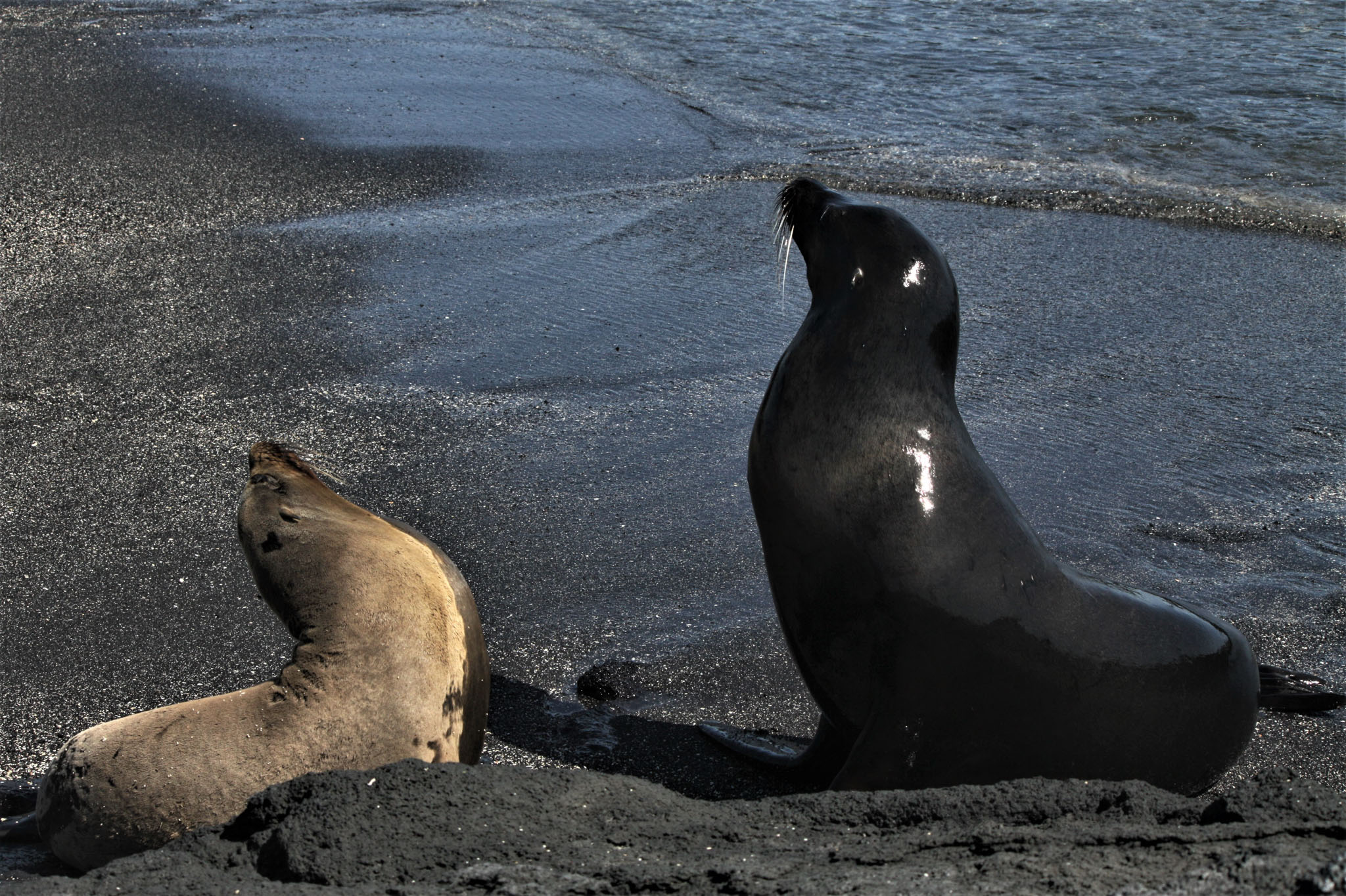
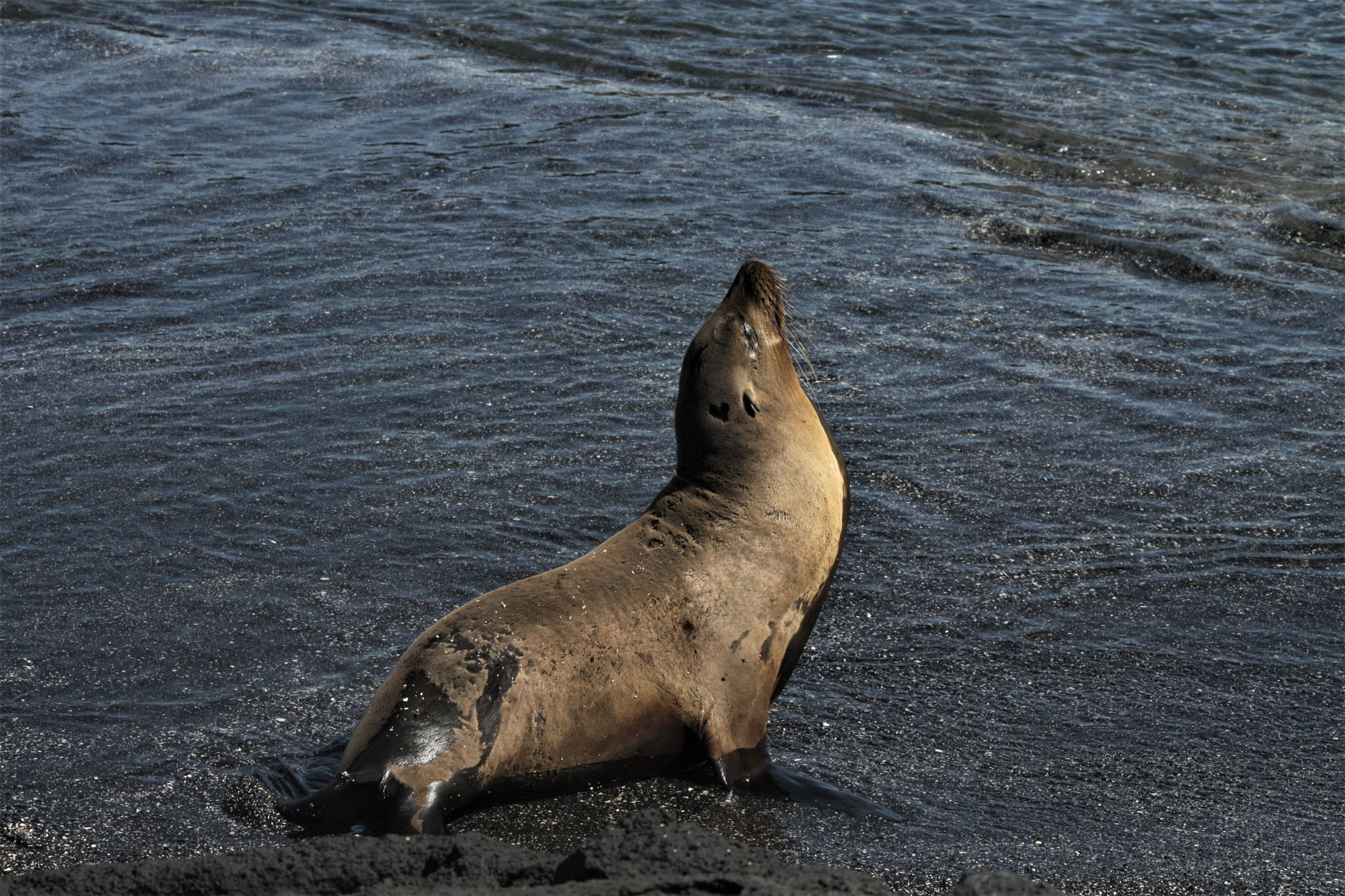
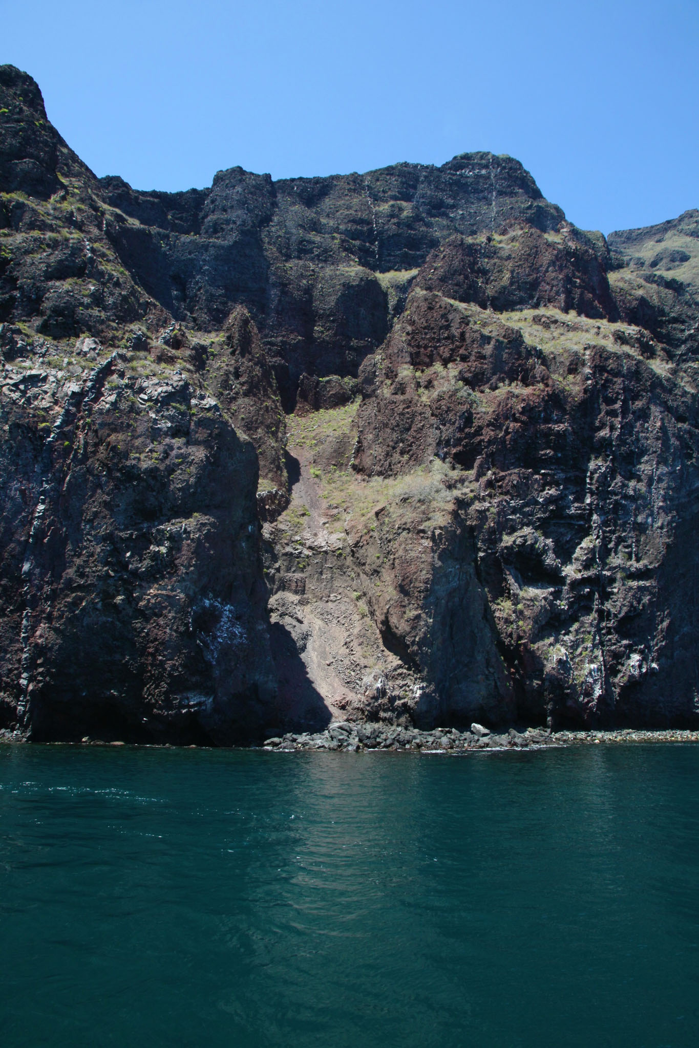
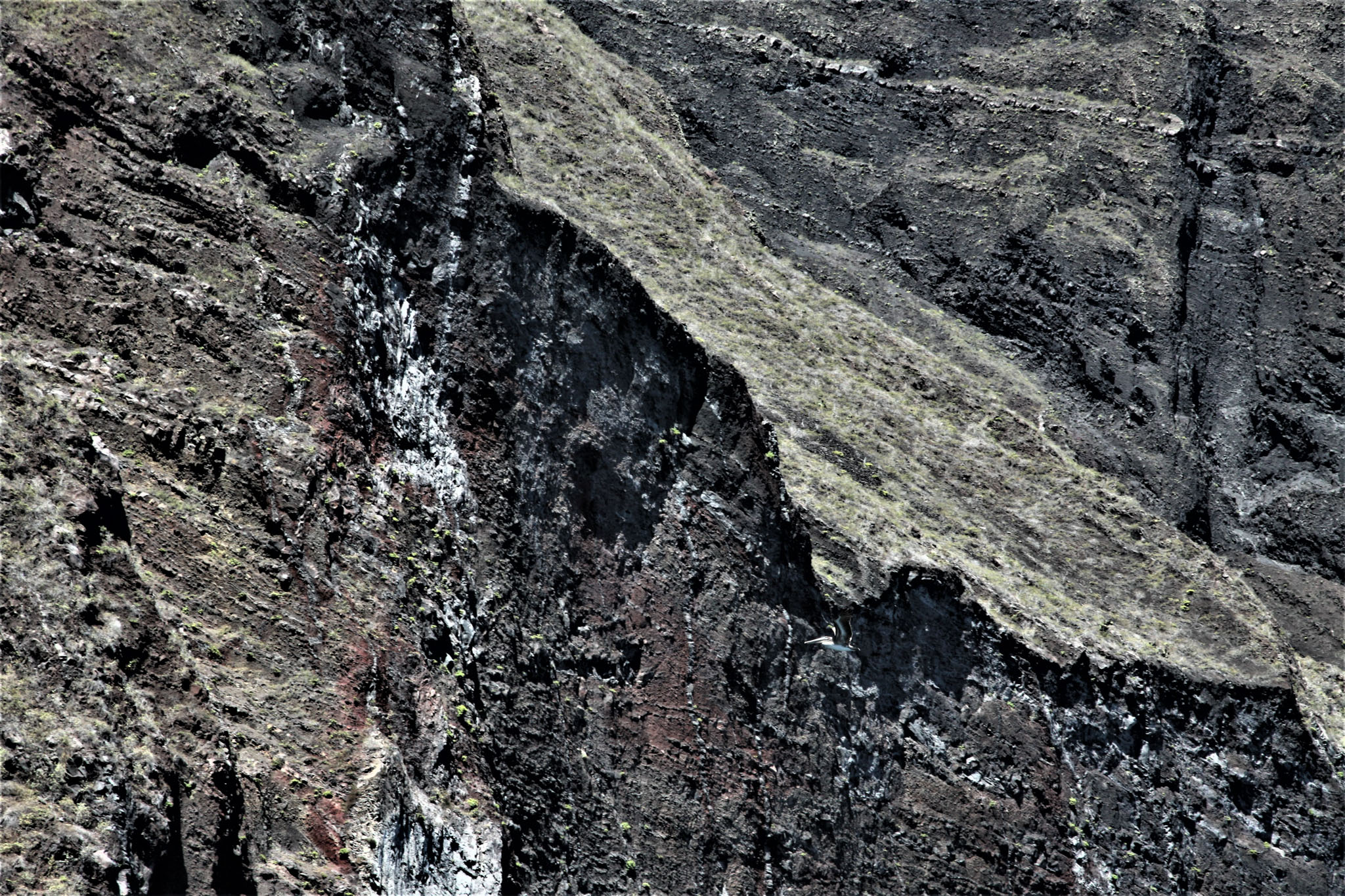
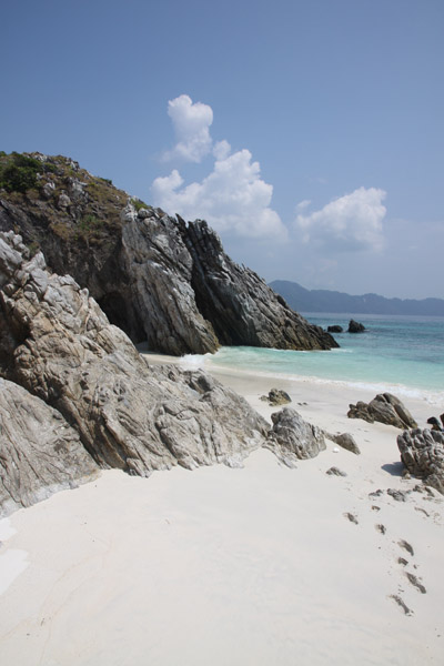
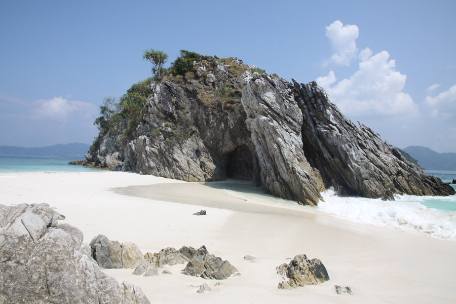
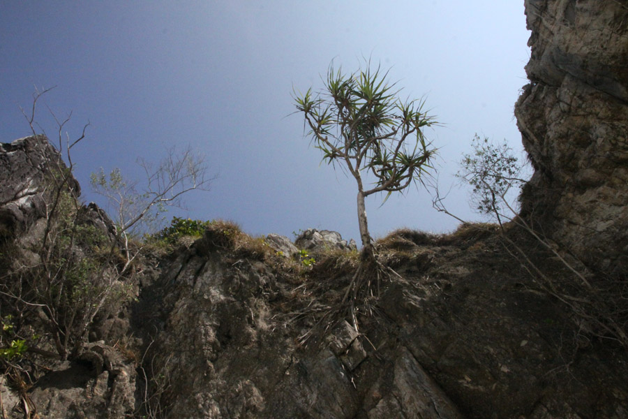
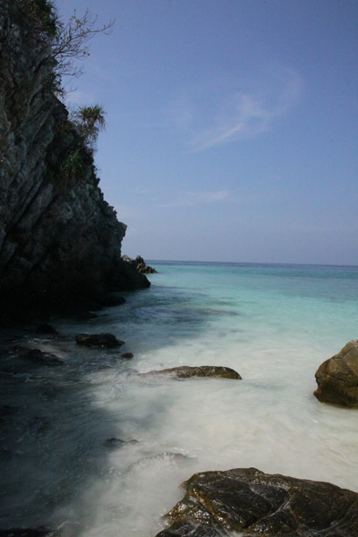
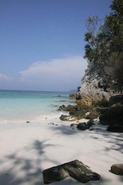
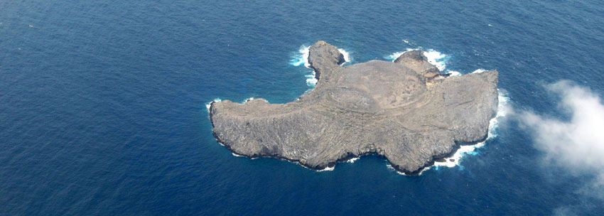
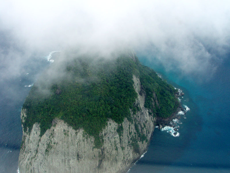
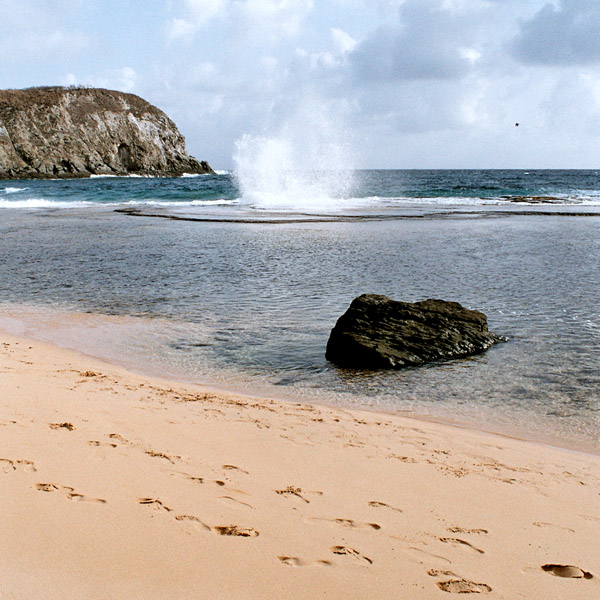
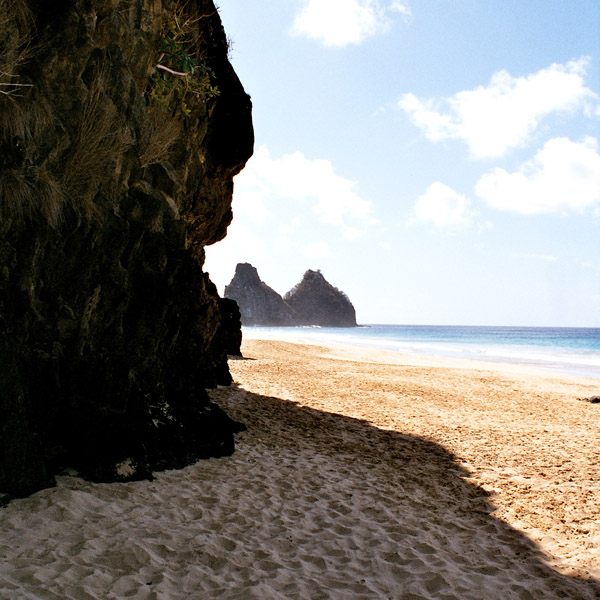
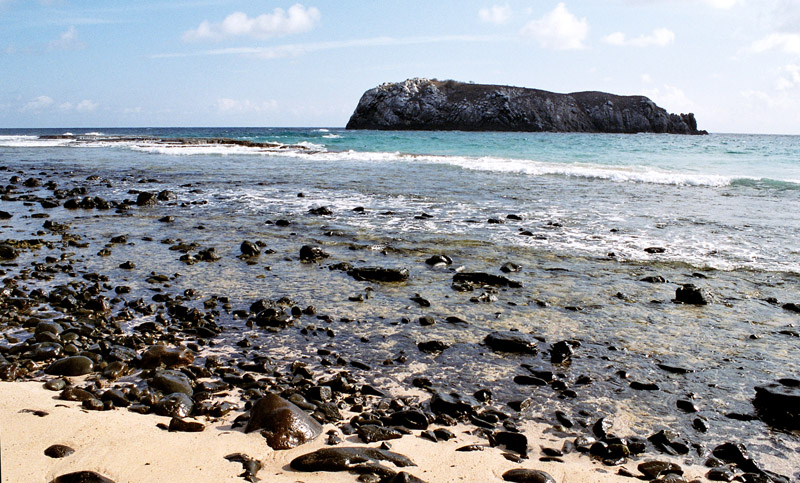
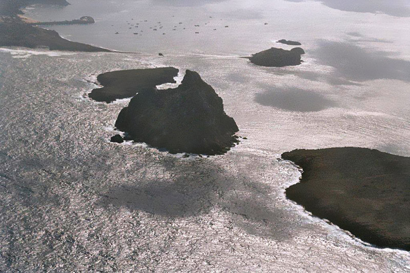
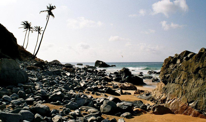
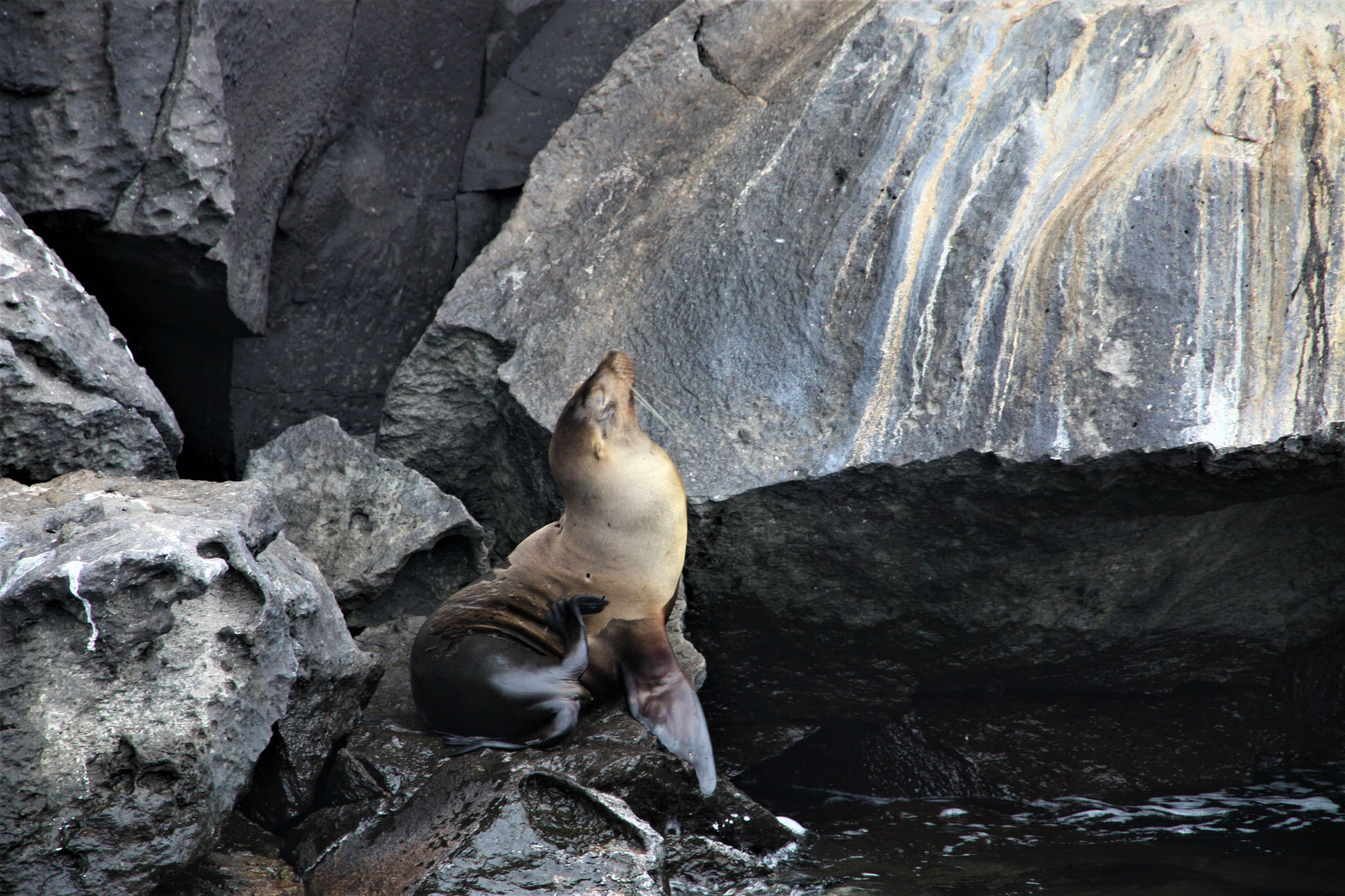
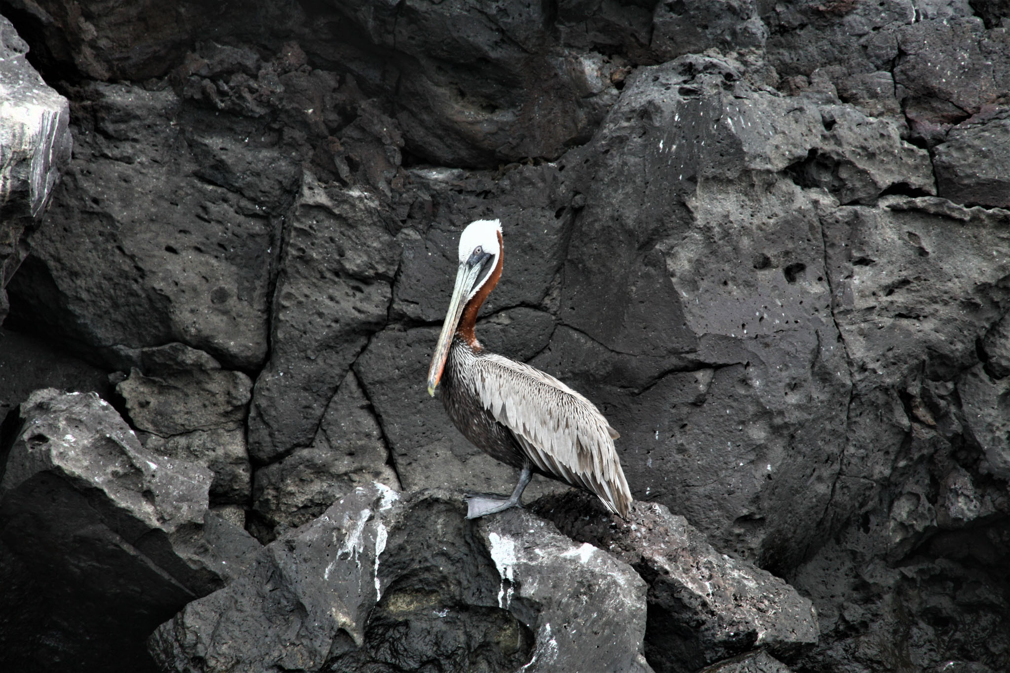
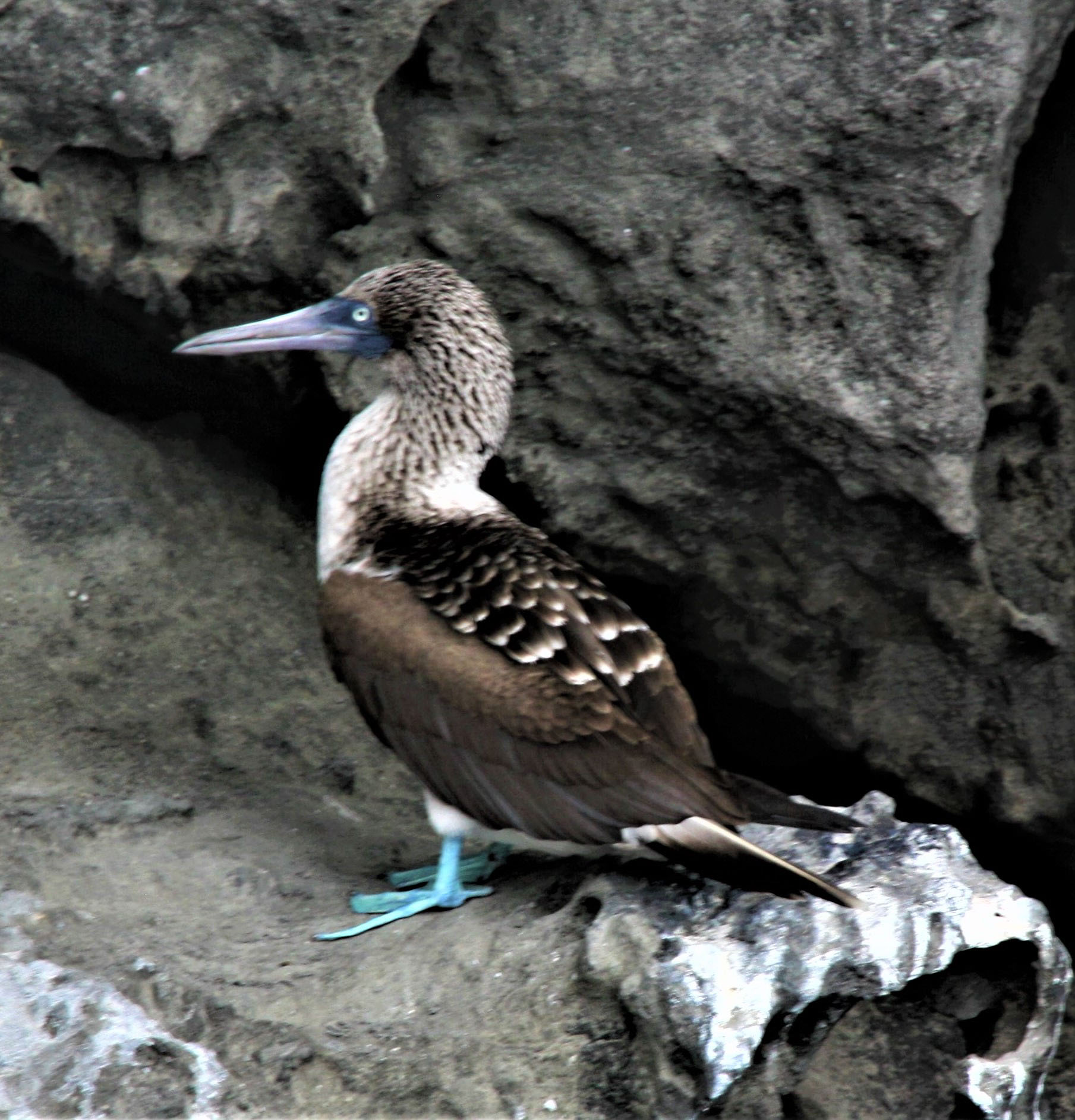
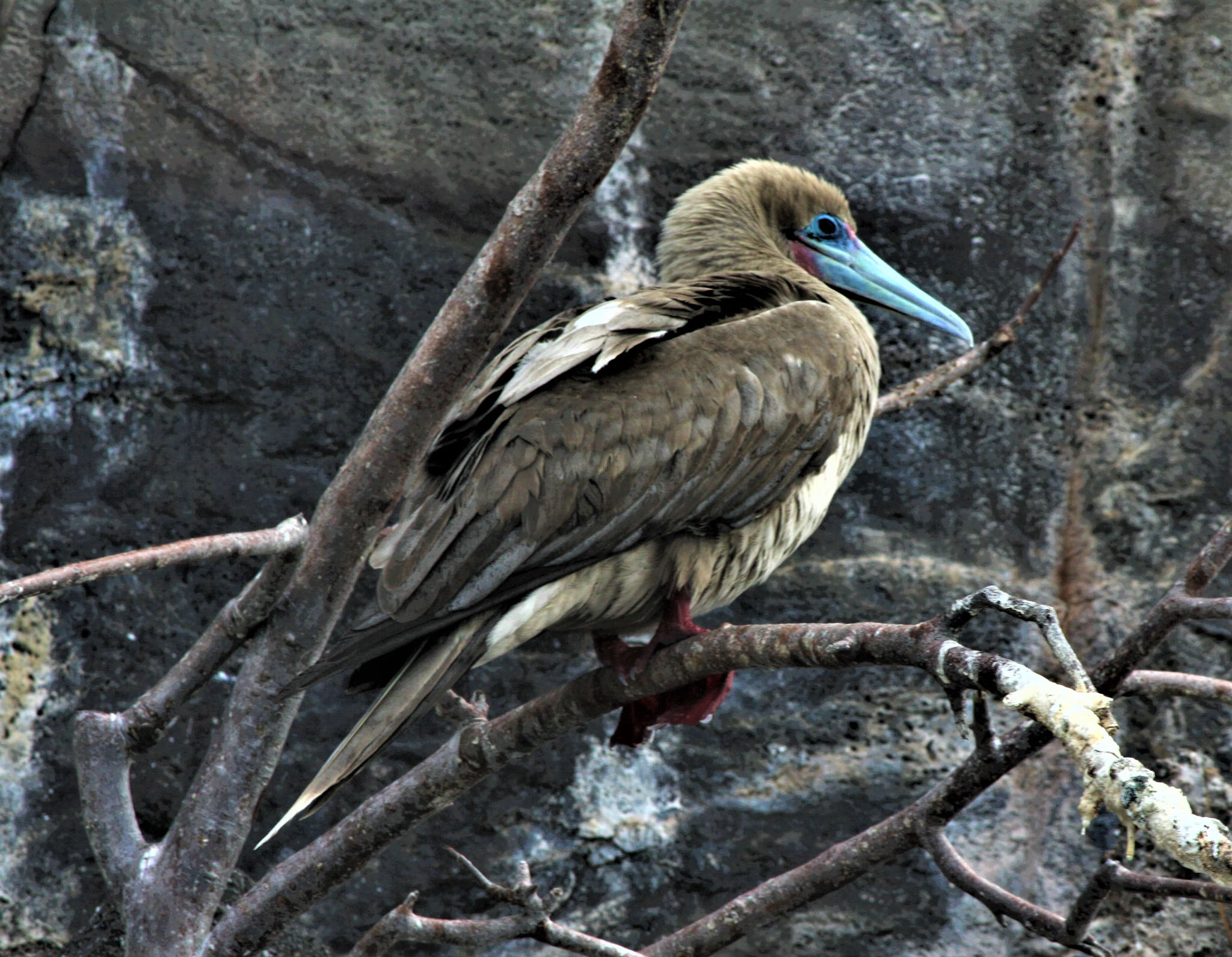
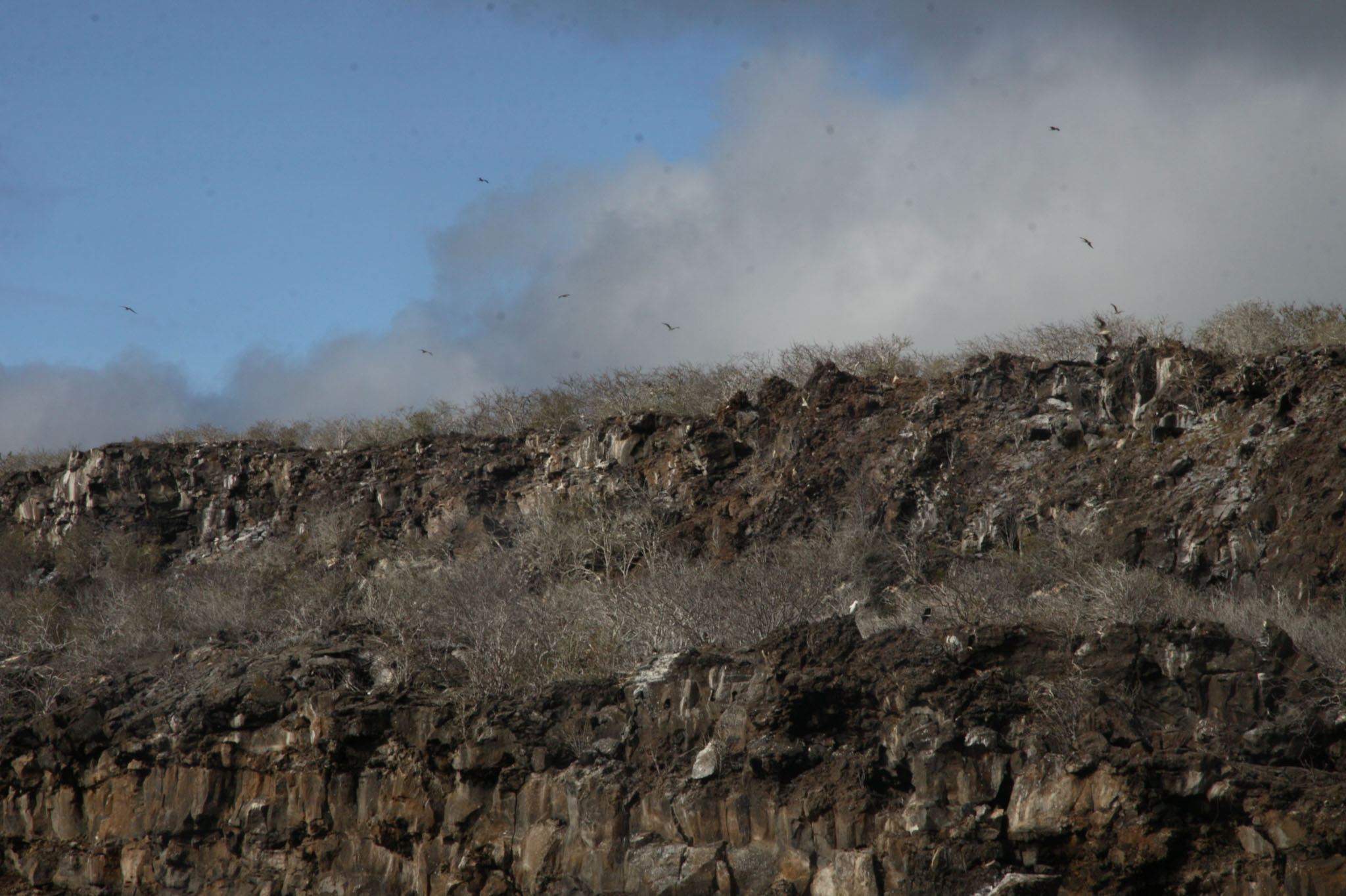
Genovesa Island (Spanish: Isla Genovesa), referred to in English as Tower Island, is a shield volcano in the Galápagos Islands in the eastern Pacific Ocean. The island occupies about 14 square kilometres (5 sq mi), and its maximum elevation is 64 m (210 ft).[citation needed] The horse-shoe shaped island has a volcanic caldera whose wall has collapsed, forming the Great Darwin Bay, surrounded by cliffs. Lake Arcturus, filled with salt water, lies in the centre, and sediment within this crater lake is less than 6,000 years old. Although no historical eruptions are known from Genovesa, there are very young lava flows on the flanks of the volcano.

The official Spanish name “Genovesa” is from the Italian city of Genoa, in honor of Christopher Columbus. The English name “Tower” is presumably a corruption of “Downes”. The island’s position was reported by John Downes of the USS Essex in 1813, during the War of 1812, and the name “Dowers’s” appeared in 1815, presumably a misspelled reference to Downes. After passing through “Dowers’s”, “Dowers”, and “Tower’s”, by 1841 it was written as “Tower” in the British Admiralty chart.

Source: Wikipedia (under GNU Free Documentation License)

Categories
Galapagos

Hood

Española Island (Spanish: Isla Española) is part of the Galápagos Islands. The English named it Hood Island after Viscount Samuel Hood. It is located in the extreme southeast of the archipelago and is considered, along with Santa Fe, one of the oldest, at approximately four million years. A popular tourist stop, Isla Española is the most southerly island in the Galápagos Archipelago. The climate is very dry, like most of the Archipelago. But due to the flatness of the island, it is the driest of these islands, with only a few inches of rain per year. It is about a 10- to 12-hour trip by boat from Isla Santa Cruz.

Source: Wikipedia (under GNU Free Documentation License)

Categories
Galapagos

San Cristobal

San Cristóbal Island (Spanish: Isla San Cristóbal) and named previously by the English as Chatham Island, is the easternmost island in the Galápagos archipelago, as well as one of the oldest geologically. It is administratively part of San Cristóbal Canton, Ecuador.

Its Spanish (and official Ecuadorian) name “San Cristóbal” comes from the patron saint of seafarers, St. Christopher. English speakers increasingly use that name in preference to the traditional English name of Chatham Island, derived from William Pitt, 1st Earl of Chatham.

Source: Wikipedia (under GNU Free Documentation License)

Categories
Galapagos

Fernardina

Fernandina Island (Spanish: Isla Fernandina, named after Ferdinand II of Aragon, the sponsor of Christopher Columbus) (formerly known in English as Narborough Island, after John Narborough) is the third largest, and youngest, island of the Galápagos Islands, as well as the furthest west. Like the others, the island was formed by the Galápagos hotspot. The island is an active shield volcano that has most recently been erupting since April 11, 2009.

On February 14, 1825, while anchored in Banks Bay, Captain Benjamin Morrell recorded one of the largest eruptions in Galápagos’ history at Fernandina Volcano. His ship escaped to safety and his account of the event was preserved.

Source: Wikipedia (under GNU Free Documentation License)

Categories
Myanmar

Kyung Su


Categories
French Polynesia Society Islands

Raiatea

Somewhat smaller than Tahiti, Raiatea is the second largest of the Society Islands in French Polynesia. The proper spelling of the name, rarely used though, in the Tahitian language is Ra’iatea, meaning bright sky; Ulieta is an obsolete transcription commonly used in the 19th century. The chief town on Raiatea is Uturoa, administrative center for the Leeward Islands (French Îles Sous-le-vent). The islands of Raiatea and Tahaa are both enclosed by the same coral reef, and may once have been a single island.

Raiatea is both the largest and most populated island in the Leeward Islands, with a land area of 167.7 km² (64.7 sq. miles) and a total population of 12,024 inhabitants at the August 2007 census. The population density is 72 inhabitants per km². Ra’iatea is widely regarded as the ‘center’ of Polynesia and it is likely that the organised migrations to Hawaii, Aoteroa (New Zealand) and other parts of East Polynesia started at Ra’iatea. A traditional name for the island is Havai’i fanau fenua (Hawai’i birther of land).

Source: Wikipedia (under GNU Free Documentation License)

Categories
Seychelles

L’Ilot

Categories
Seychelles

La Digue II

La Digue is the fourth largest inhabited island of the Seychelles, lying east of Praslin and west of Felicite Island. It has a population of about 2,000 people, who mostly live in the west coast villages of La Passe (linked by ferry to Praslin and Mahé) and La Réunion. It has an area of 10 km². La Digue is named after a ship in the fleet of French explorer Marc-Joseph Marion du Fresne, who visited the Seychelles in 1768.

Today the island’s main industry is tourism and is known for its beaches especially Anse Source d’Argent. In former times copra and vanilla production were mainstays of the local economy; which is commemorated in the island’s museum. In the island’s interior is Veuve Nature Reserve, home of the rare Black Paradise Flycatcher, of which there are only about 100 in existence. La Digue’s tallest peak is also in the central part of the island, Belle Vue (Eagle’s Nest Mountain), with its summit more than 300 meters above sea level.

Source: Wikipedia (under GNU Free Documentation License)

Categories
São Tomé and Príncipe

Príncipe

Príncipe is the smaller of the two major islands of São Tomé and Príncipe lying off the west coast of Africa. It has an area of 136 km² and a population of around 5,000 people. It rises in the south to 948 metres at Pico de Príncipe, in a thickly forested area forming part of the Obo National Park. The north and centre of the island were formerly plantations but largely reverted to forest. The island forms one province and one district named Pagué. The languages other than Portuguese includes Principense or Lunguyê with a few Forro speakers.

The island has one town, Santo António, and an airport (IATA code: PCP, ICAO: FPPR?), as well as some small villages including Bela Vista, Bombom, Futuro, Neves Ferreira, Paciencia, Ponta Fonte, Ribeira Ize, Santo Antonio de Ureca, Vila Rosa and more – few connected to the small road network.

The island is a heavily eroded volcano over three million years old, surrounded by other smaller islands including Ilheu Bom Bom, Ilhéu Caroço, Tinhosa Grande and Tinhosa Pequena.

Príncipe was the site where Einstein’s Theory of Relativity was experimentally proved successful by Arthur Stanley Eddington and his team during an eclipse in 1919.

Source: Wikipedia (under GNU Free Documentation License)

Categories
Brazil

Fernando de Noronha

Fernando de Noronha is an archipelago of 21 islands and islets in the Atlantic Ocean, around 354 km (220 miles) offshore from the Brazilian coast. The main island has an area of 18.4 square kilometres (7.1 sq mi) and had a population of 3,012 in the year 2008. The area is a special municipality (distrito estadual) of the Brazilian state of Pernambuco (despite being closer to the state of Rio Grande do Norte) and is also a UNESCO World Heritage Site. Its timezone is UTC−2h. The local population and travellers can get to Noronha by plane or cruise from Recife (545km) or by plane from Natal (360km). A small environmental preservation fee is charged from tourists upon arrival by Ibama (Institute of Environment and Renewable Natural Resources).

The climate is tropical, with two well-defined seasons. The rainy season lasts from March to September, the rest of the year sees little rain.

The islands of this archipelago are the visible parts of a range of submerged mountains. Consisting of 21 islands, islets and rocks of volcanic origin, the main island has an area of 18 km² (7.1 miles²), being 10 km (6.2 miles) long and 3.5 kilometres (2.170 mi) wide at its maximum. The base of this enormous volcanic formation is 756 m below the surface. The main island, from which the group gets its name, makes up 91% of the total area.

Source: Wikipedia (under GNU Free Documentation License)