Categories
Tonga

Tongatapu

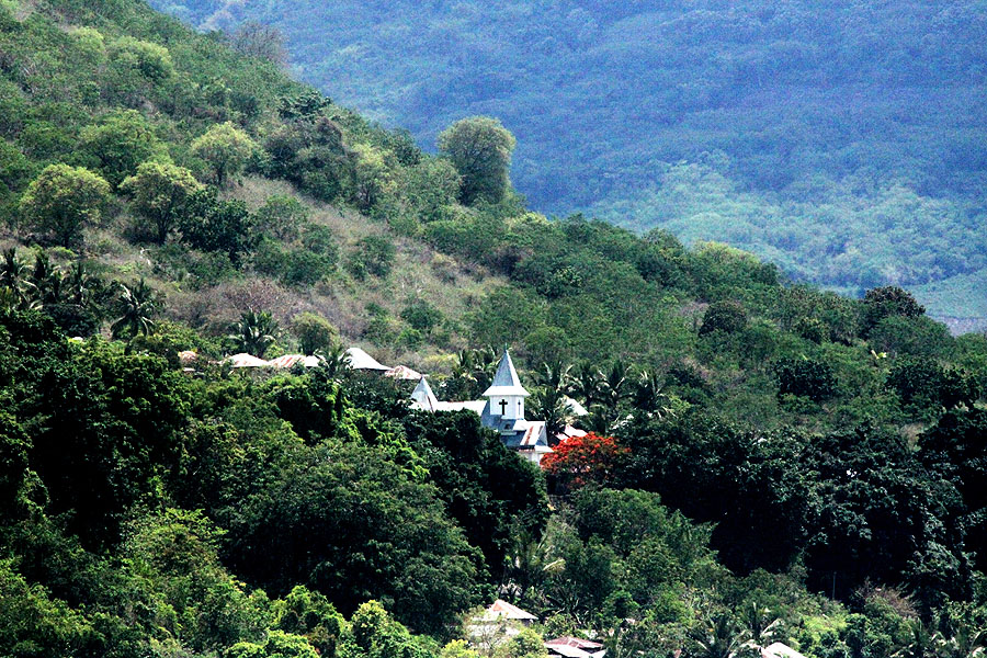
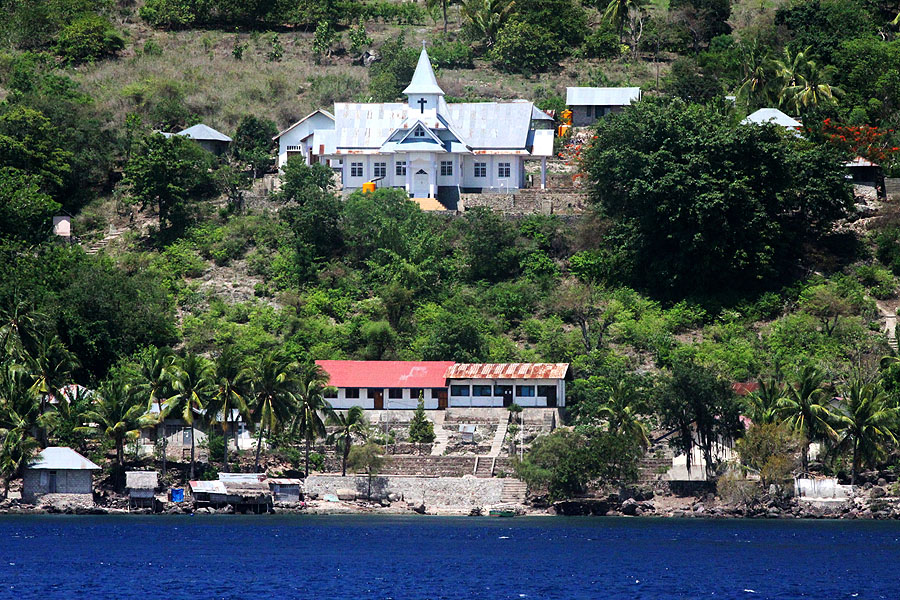
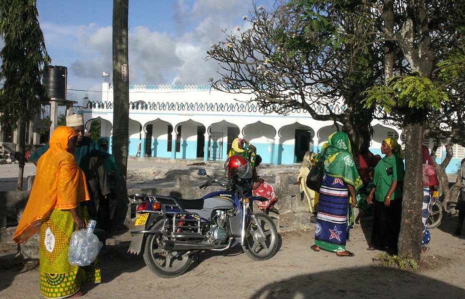
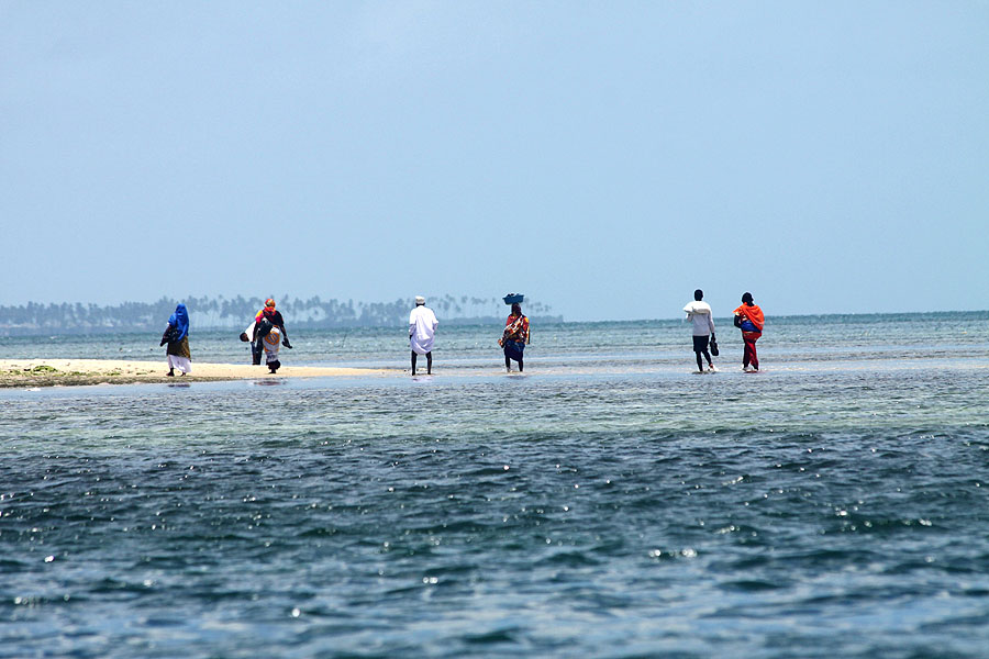
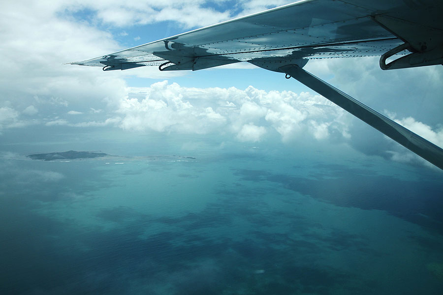
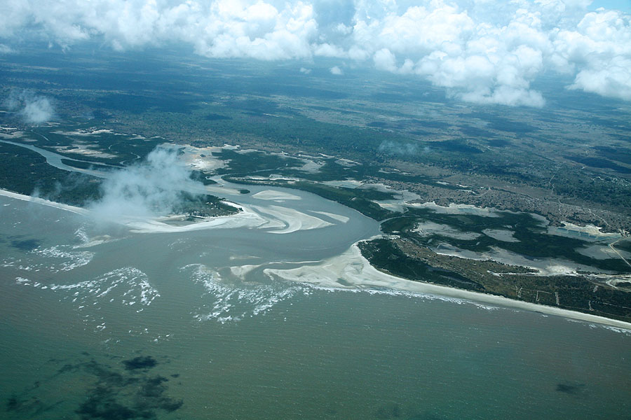
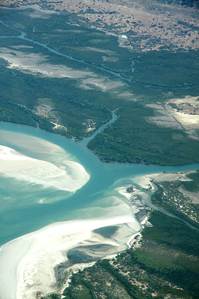
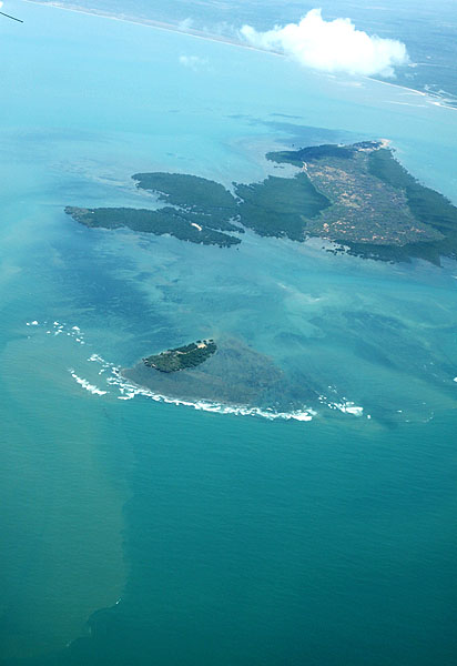
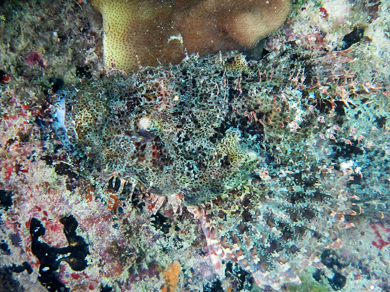
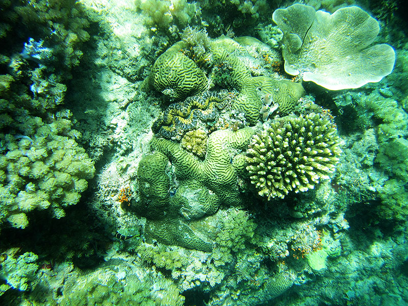
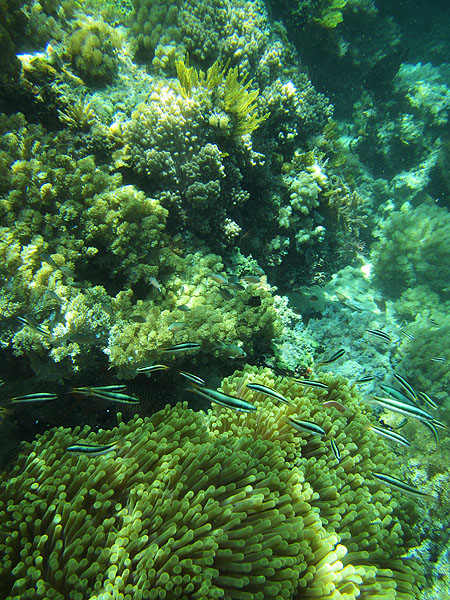
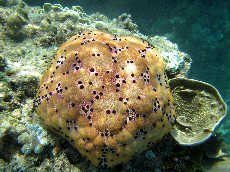
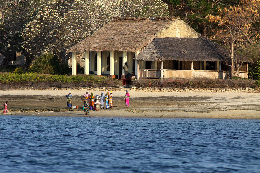
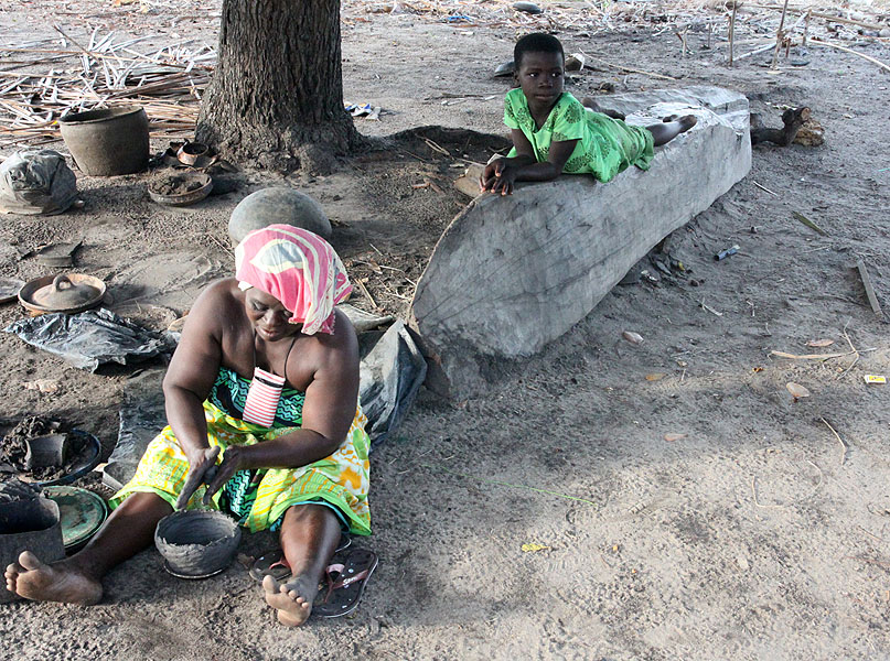
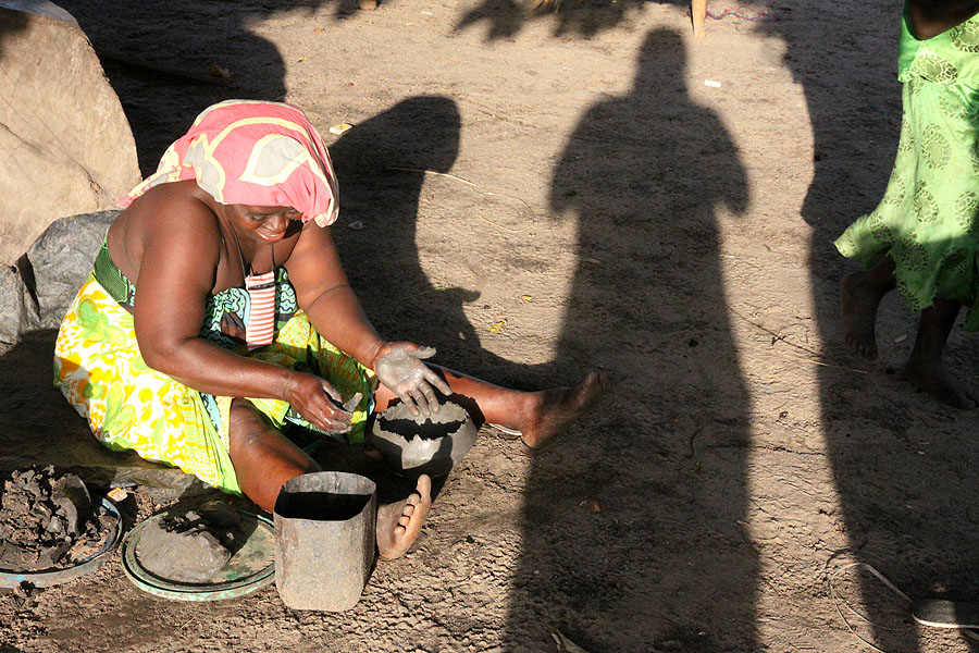
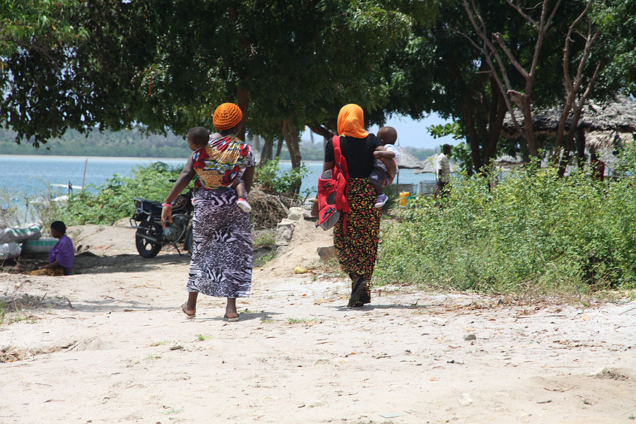
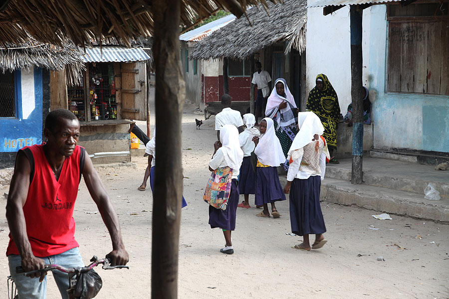
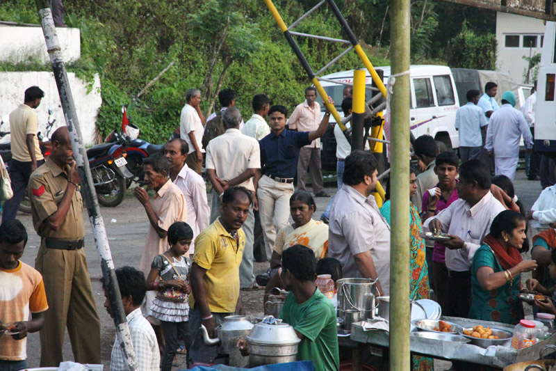
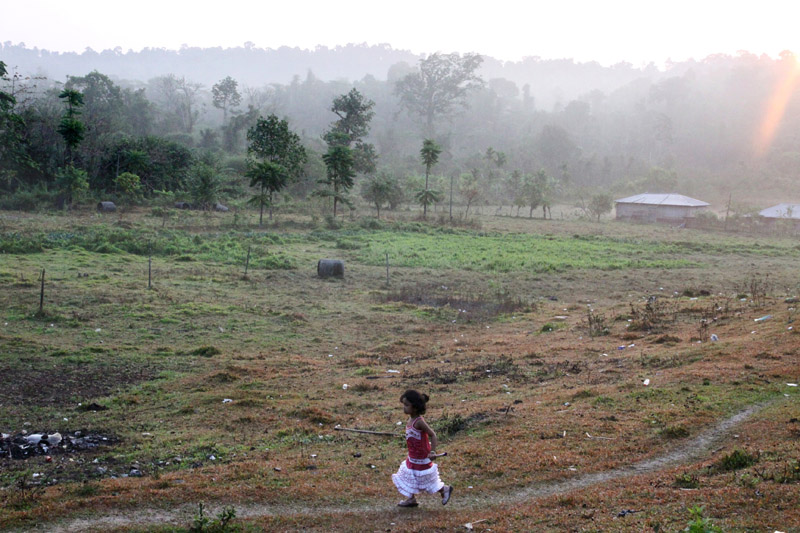
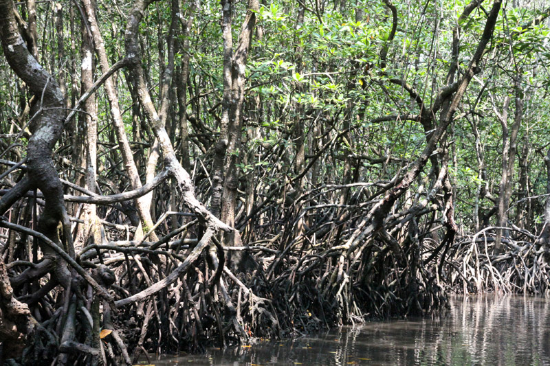
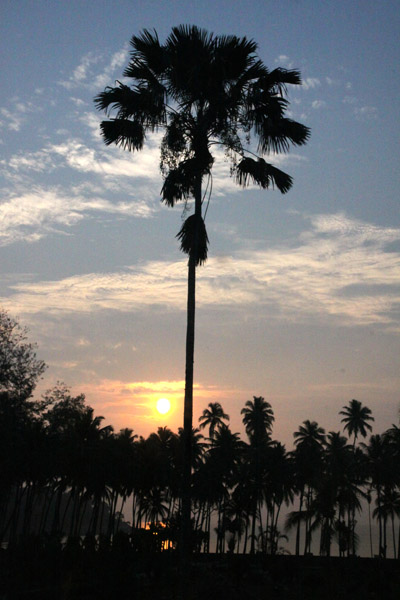
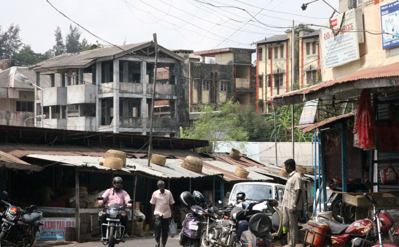
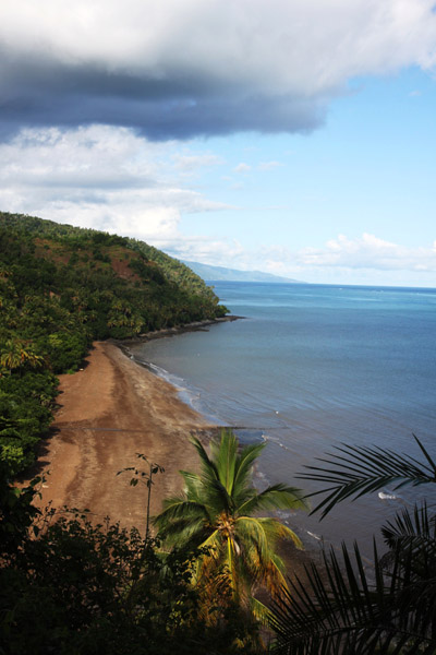
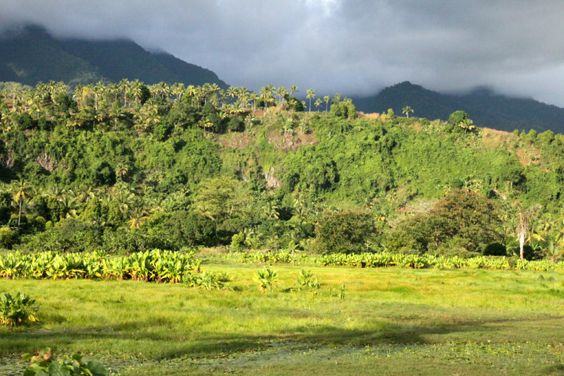
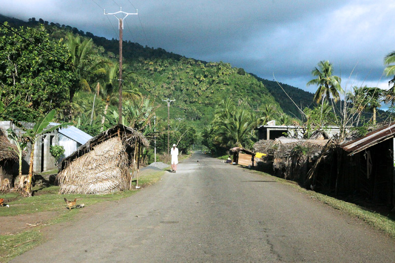
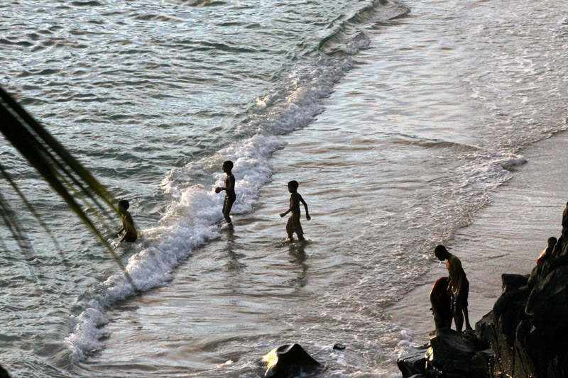
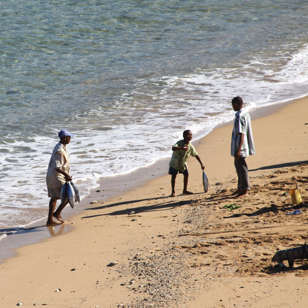
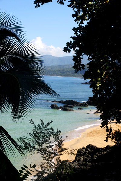
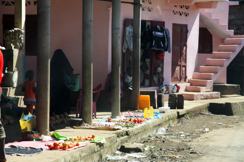
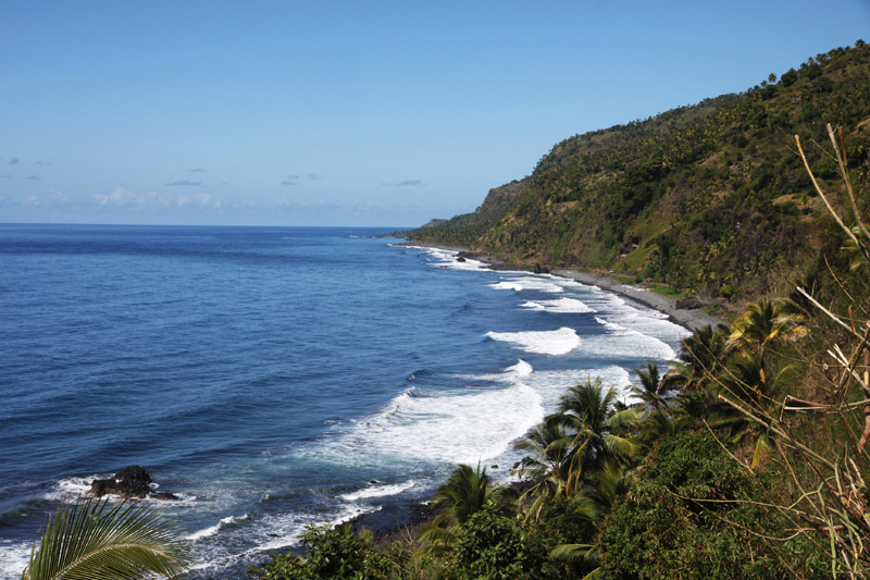
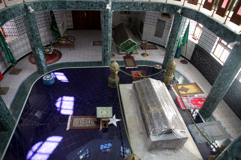
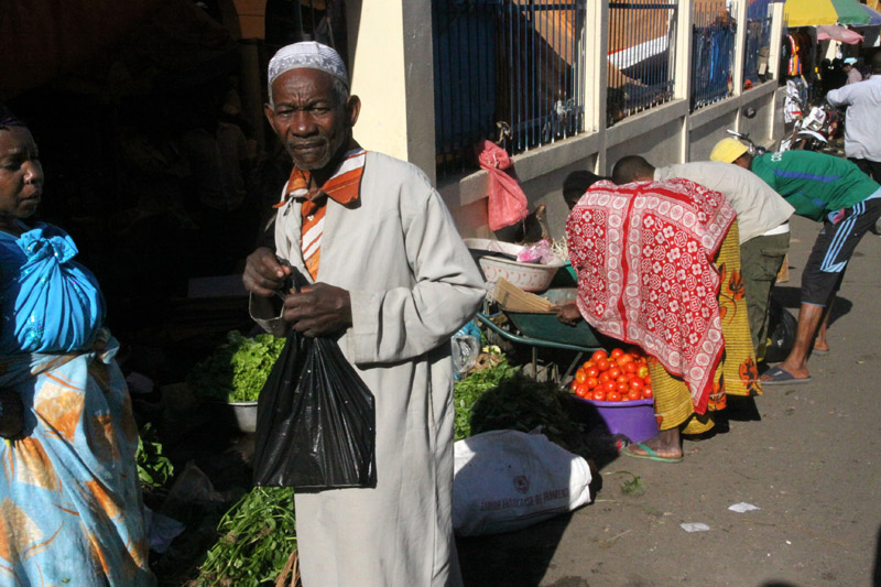
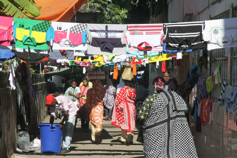
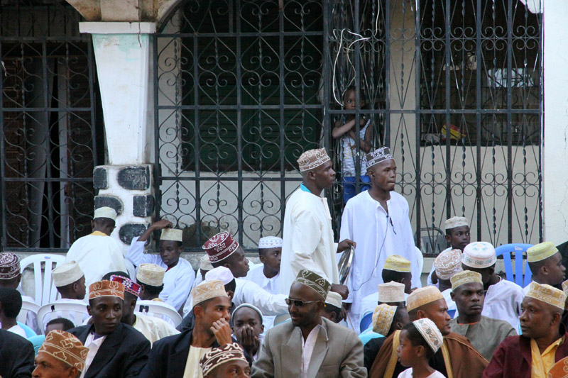
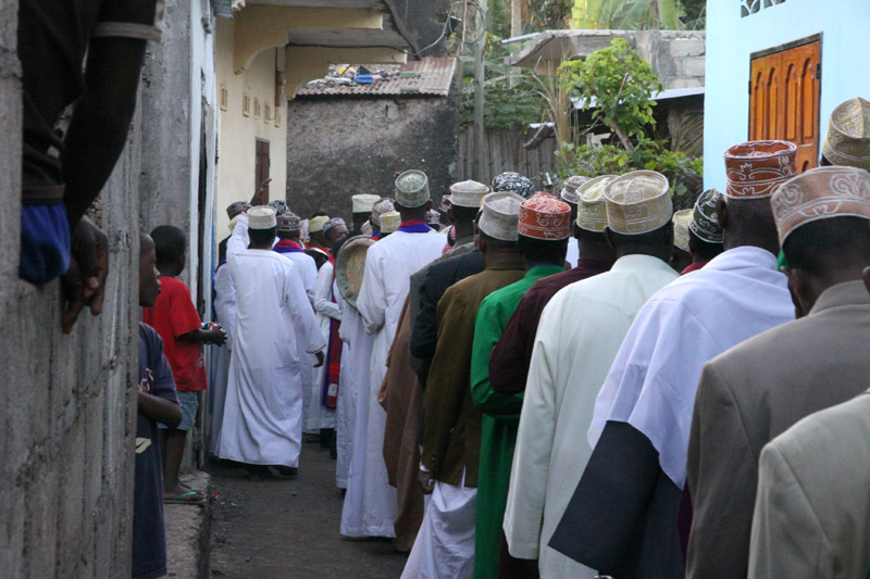
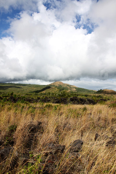
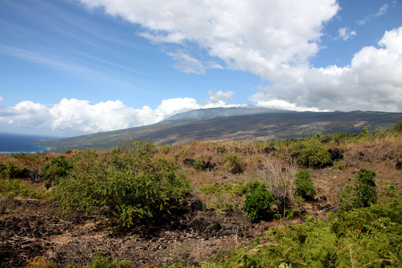
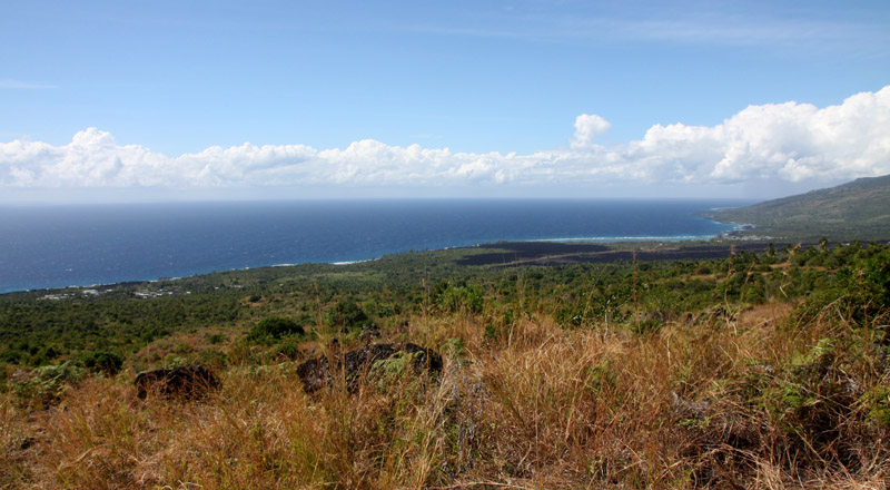
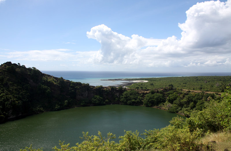
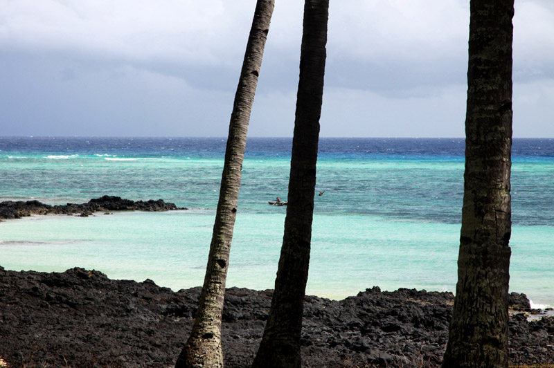
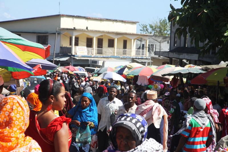
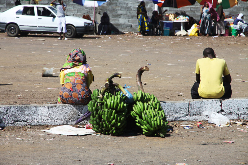
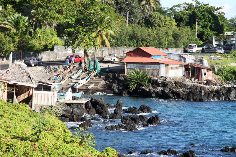
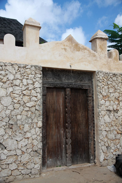
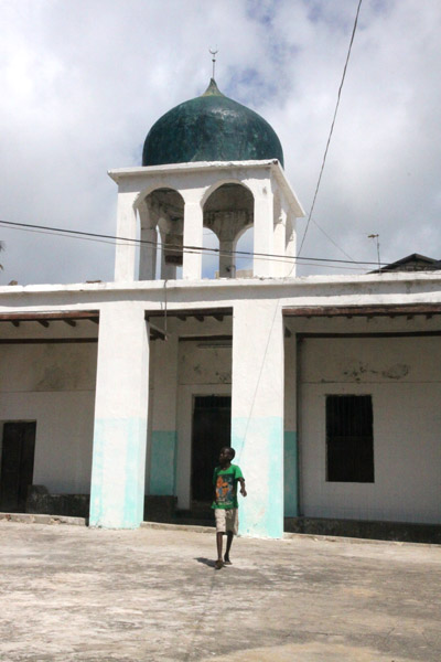
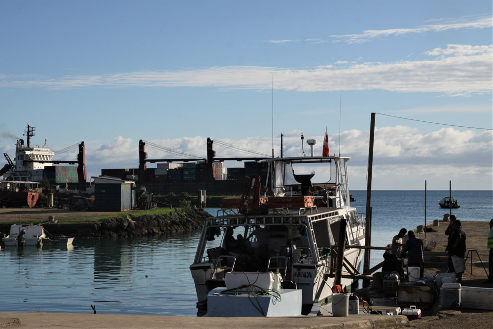
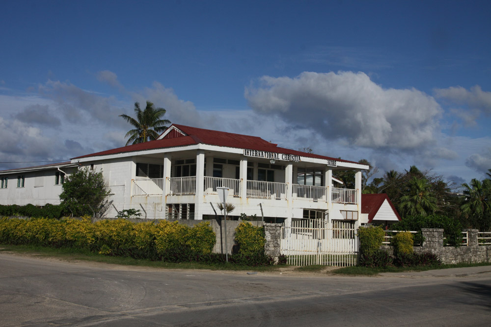
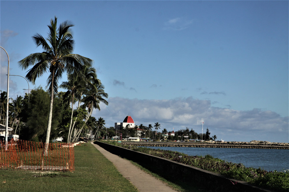
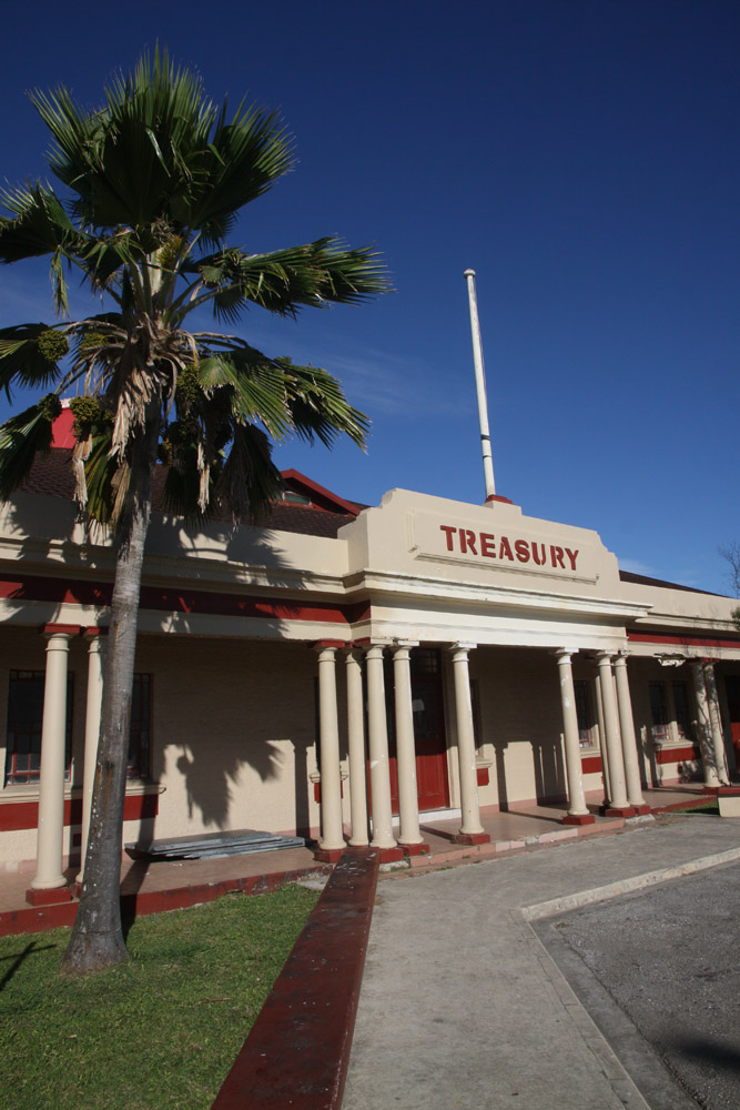
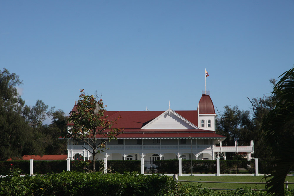
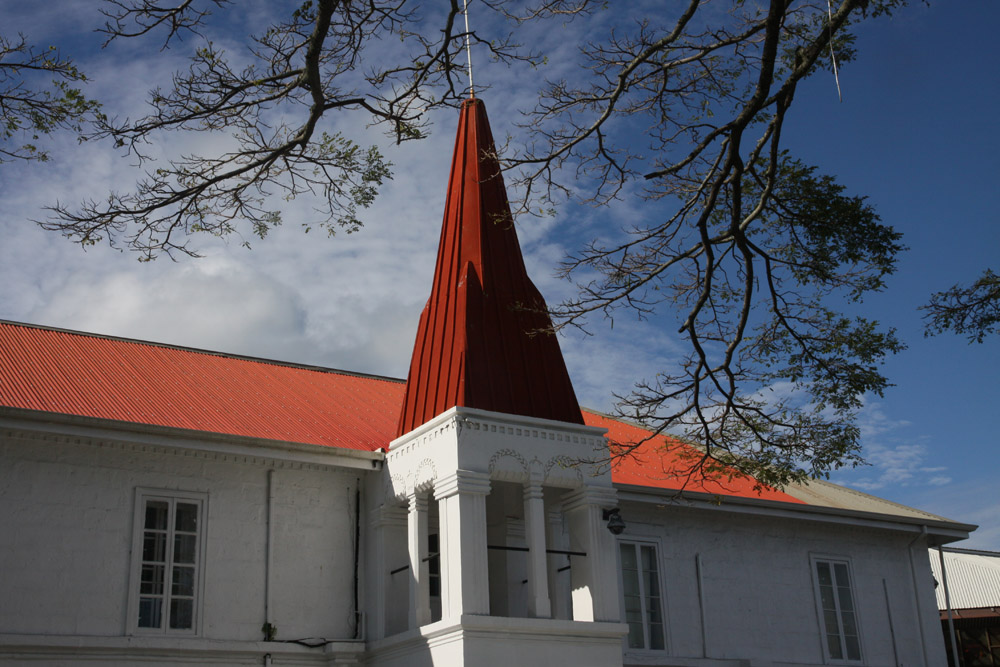
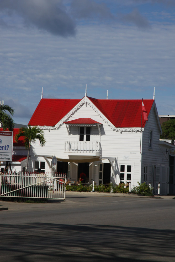
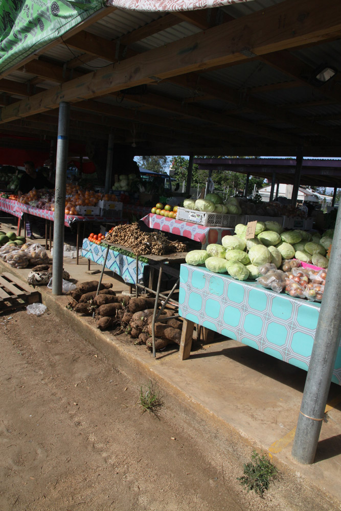
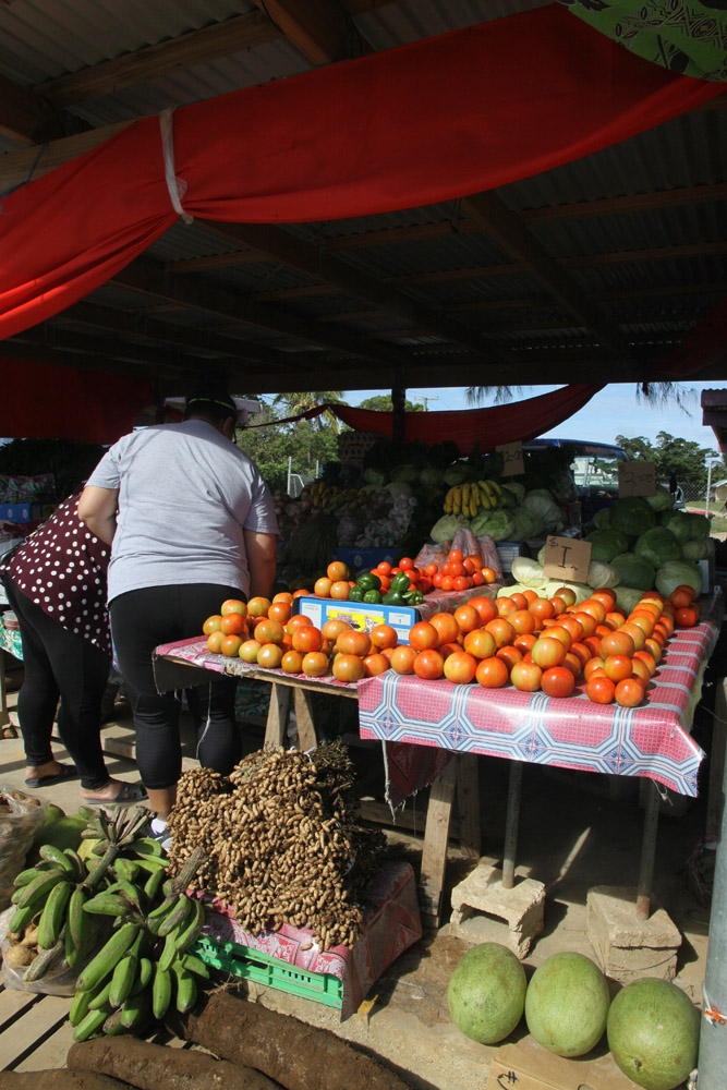
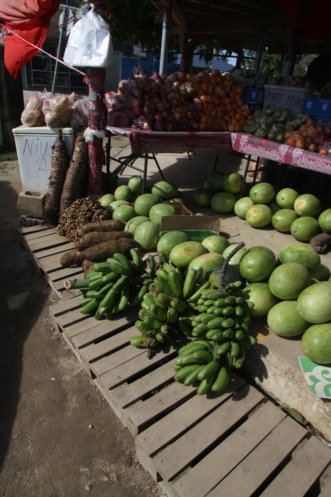
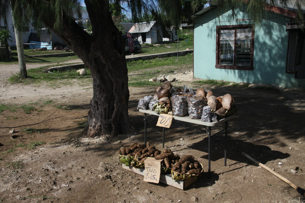
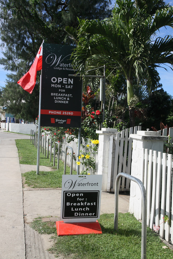
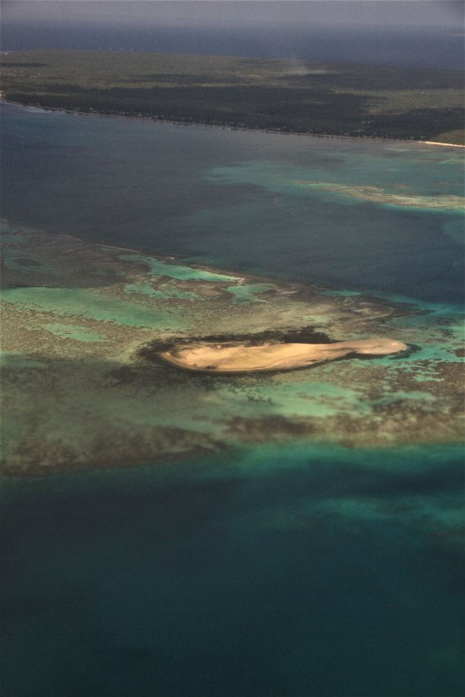
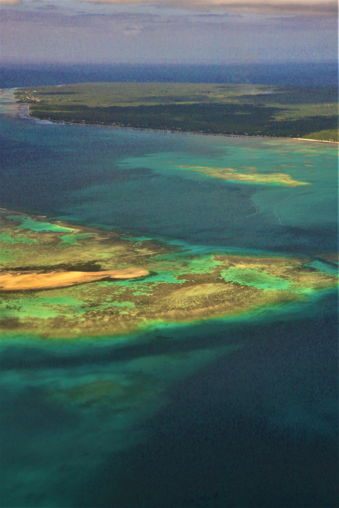
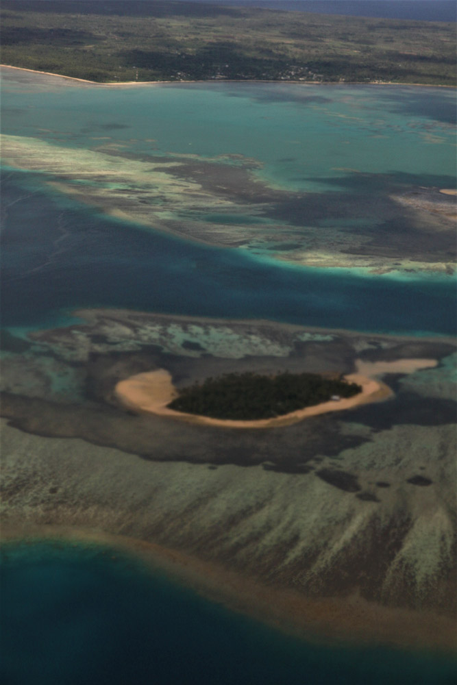
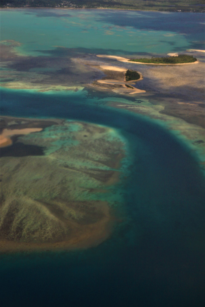
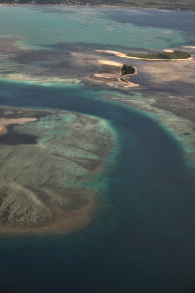
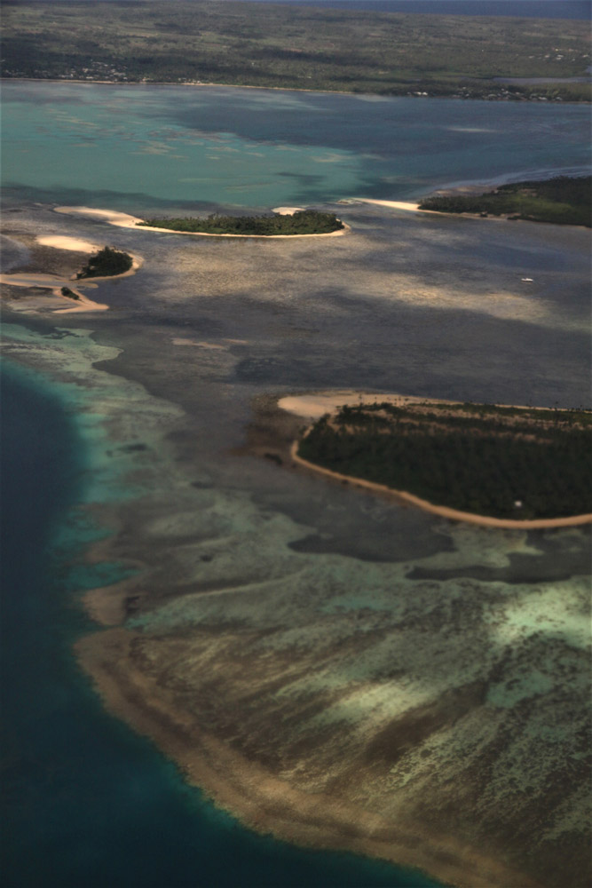
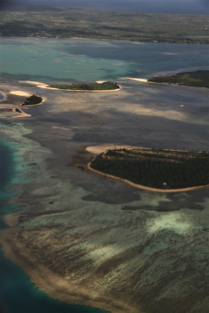
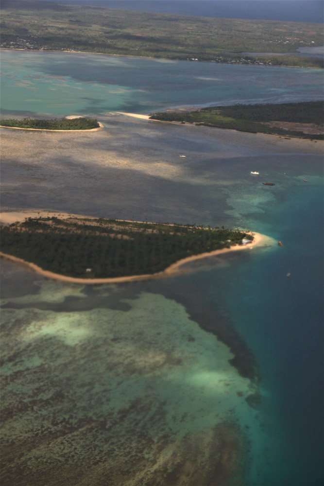
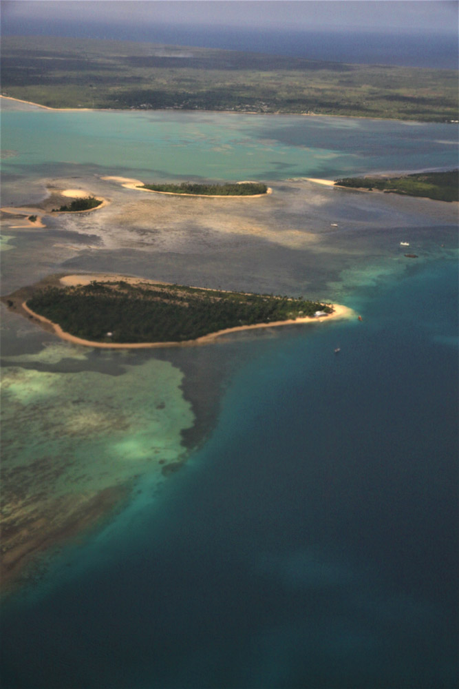
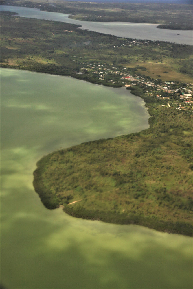
Tongatapu is the main island of the Kingdom of Tonga and the location of its capital Nukuʻalofa. It is located in Tonga’s southern island group, to which it gives its name, and is the country’s most populous island, with approximately 71,260 residents (2006), 70.5% of the national population, on 260 square kilometres (100 square miles). Its maximum height is 65 metres (213 feet). Tongatapu is Tonga’s centre of government and the seat of its monarchy.

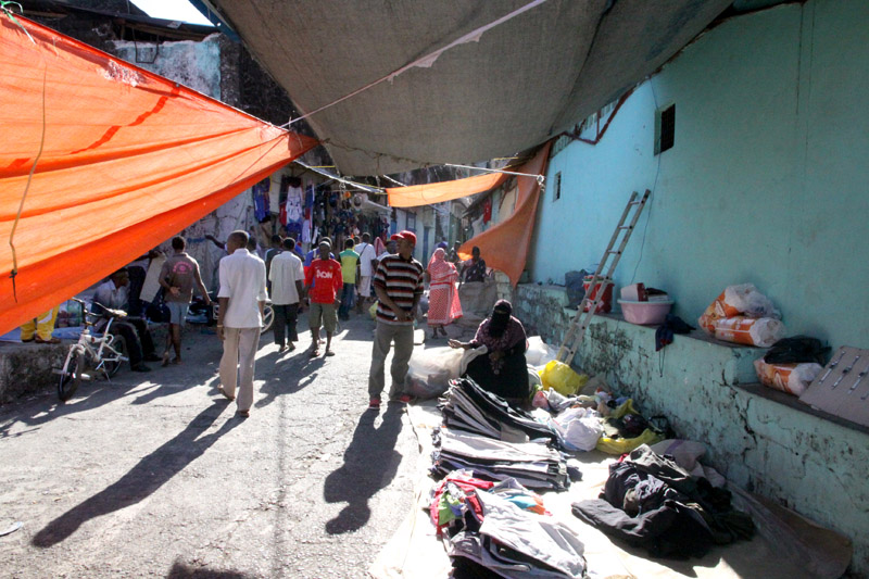
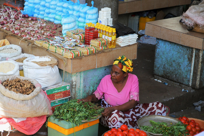
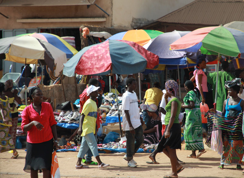
Tongatapu has experienced more rapid economic development than the other islands of the Kingdom, and has thus attracted many internal migrants from them.

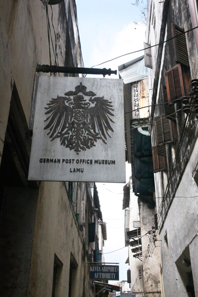
Tongatapu was first sighted by Europeans on 20 January 1643 by Abel Janszoon Tasman commanding two ships, the Heemskerck and the Zeehaen commissioned by the Dutch East India Company of Batavia (Jakarta). Tasman named the island “t’ Eijlandt Amsterdam” (Amsterdam Island), because of its abundance of supplies. This name is no longer used except by historians.

Source: Wikipedia (under GNU Free Documentation License)

Categories
Tanzania

Mafia Island VI

Mafia Island (“Chole Shamba”) is part of the Tanzanian Spice Islands, together with Unguja and Pemba. As one of the six districts of the Pwani Region, Mafia Island is governed from the mainland, not from the semi-autonomous region of Zanzibar, of which it has never been considered to be a part.

According to the 2002 Tanzania census, the population of the Mafia District was 40,801.The economy is based on fishing, subsistence agriculture and the black market. The island attracts some tourists, mainly adventure scuba divers, game fishermen, and people wanting relaxation.

The Mafia archipelago consists of one large island (394 km²) and numerous smaller ones. Some of these are inhabited, such as Chole Island (2 km²), with a population of 800. Chole Bay, Mafia’s protected deep-water anchorage and original harbour, is studded with islands, sandbanks and beaches. The main town is Kilindoni. The stretch of water between the deltas of the Rufiji River and the island is called Mafia Channel. There are popular rumours of pygmy hippo on the island but there are zero confirmed sightings.

Source: Wikipedia (under GNU Free Documentation License)

Categories
Lesser Sunda Islands

Pulau Alor

Alor (Indonesian: Pulau Alor) is the largest island in the Alor Archipelago located at the eastern Lesser Sunda Islands that runs through southeastern Indonesia, which from the west include such islands as Bali, Lombok, Sumbawa, Komodo, and Flores.

To the east of the island across the Ombai Strait lie the islands of Wetar and Atauro, the latter belonging to East Timor. To the south, across the Strait of Alor, lies the western part of Timor. To the north lies the Banda Sea. To the west lies Pantar and the other islands of the Alor archipelago, and further yet the rest of the Sunda Islands.

On 12 November 2004, an earthquake measuring 6.0 on the Richter scale occurred, killing 34 people.

Source: Wikipedia (under GNU Free Documentation License)

Categories
Tanzania

Mafia Island IV

Mafia Island (“Chole Shamba”) is part of the Tanzanian Spice Islands, together with Unguja and Pemba. As one of the six districts of the Pwani Region, Mafia Island is governed from the mainland, not from the semi-autonomous region of Zanzibar, of which it has never been considered to be a part.

According to the 2002 Tanzania census, the population of the Mafia District was 40,801.The economy is based on fishing, subsistence agriculture and the black market. The island attracts some tourists, mainly adventure scuba divers, game fishermen, and people wanting relaxation.

The Mafia archipelago consists of one large island (394 km²) and numerous smaller ones. Some of these are inhabited, such as Chole Island (2 km²), with a population of 800. Chole Bay, Mafia’s protected deep-water anchorage and original harbour, is studded with islands, sandbanks and beaches. The main town is Kilindoni. The stretch of water between the deltas of the Rufiji River and the island is called Mafia Channel. There are popular rumours of pygmy hippo on the island but there are zero confirmed sightings.

Source: Wikipedia (under GNU Free Documentation License)

Categories
Andaman and Nicobar Islands

Baratang Island

Baratang, less commonly known as Baratang Island, (coordinates: 12°07′N 92°47′E) is an island in the Andaman Islands, India, with an area of approximately 238 square kilometres (92 sq mi). It is one of the main islands of the Great Andaman group, a closely set archipelago in the Bay of Bengal, adjoining the Andaman Sea. Middle Andaman is to its north, and South Andaman to the south. The islands of Ritchie’s Archipelago lie some 20 kilometres (12 mi) to the east.

Port Blair, the capital of the Indian Union Territory of Andaman and Nicobar Islands, is located approximately 100 kilometres (62 mi) to the south.

Baratang contains the only known examples of mud volcanoes in India. These mud volcanoes have erupted sporadically, with recent eruptions in 2005 believed to have been associated with the 2004 Indian Ocean earthquake. The previous major eruption recorded was on 18 February 2003. The locals call this mud volcano jalki.

There are other volcanoes in the area. The Barren Island volcano which is the only active volcano in South Asia and the Narcondum volcano which is considered to be a potentially active volcano.

Source: Wikipedia (under GNU Free Documentation License)

Categories
Andaman and Nicobar Islands

South Andaman Island

South Andaman Island is the southernmost island of the Great Andaman and is home to the majority of the population of the Andaman Islands. Port Blair, the capital of the islands, is located on the southern part of this island. Some areas of the island are restricted areas for non-Indians; however, transit permits can be obtained from the Home Ministry.

Like the rest of the archipelago, it was struck by the 2004 Indian Ocean earthquake, leading to many deaths on the island. South Andaman is the third largest island in the island group. It is located immediately south of Middle Andaman Island, from which it is separated only by a narrow channel, a few hundred meters wide. The island is 93 km long and 31 km in width. Its area is 1348 km². It had a population of 181,949 as of the 2001 census. South Andaman is less mountainous than the more northerly of the Andaman Islands. Koiob reaches a height of 456.6 meters.

Source: Wikipedia (under GNU Free Documentation License)

Categories
Comoro Islands

Anjouan

Anjouan (also known as Ndzuwani or Nzwani) is an autonomous island, part of the Union of Comoros. The island is located in the Indian Ocean. Its capital is Mutsamudu and its population as of 2006 is about 277,500. The total area of the island is 424 sq. kilometers (163 sq. mi.).

Source: Wikipedia (under GNU Free Documentation License)

Categories
Comoro Islands

Grande Comore

Grande Comore (officially called Ngazidja) is an island in the Indian Ocean off the coast of Africa. It is the largest island in the Comoros nation. Most of its population is of the Comorian ethnic group. Its population as of 2006 is about 316,600. The island’s capital is Moroni, which is also the national capital. The island is made up of two shield volcanoes, with Mount Karthala being the country’s highest point at 2,361 m (7,746 ft) above sea level. According to the 2009 revision of the constitution of 2002, it is governed by an elected Governor, as are the other islands, with the federal government being much reduced in power.

For several centuries, Grande Comore was divided into a number of sultanates, including Bambao, Itsandra, Mitsamihuli, Mbajini, Hambuu, Washili, Hamahame, Mbwankuu, Mbude and Domba. The sultans were also known as mfaume. In 1886 the ruler of Bambao, Sultan Said Ali bin Said Omar, united the sultanates of Grande Comore into the state of Ngazidja, with the other sultanates maintaining autonomy. That same year, France established a protectorate over the island. In 1893 Sultan Said Ali was sent into exile on Réunion. In 1908 France annexed the island and the sultanates were abolished. In 1975 Grande Comore Anjouan and Mohéli declared independence as the nation of Comoros.

Source: Wikipedia (under GNU Free Documentation License)

Categories
Kenya

Lamu Island II

Lamu Island is a part of the Lamu Archipelago of Kenya. Lamu Old Town, the principal inhabited part of the island, is one of the oldest and best-preserved Swahili settlement in East Africa. Built in coral stone and mangrove timber, the town is characterized by the simplicity of structural forms enriched by such features as inner courtyards, verandas, and elaborately carved wooden doors. Lamu has hosted major Muslim religious festivals since the 19th century, and has become a significant center for the study of Islamic and Swahili cultures. The island is linked by boat to Mokowe on the mainland and to Manda Island, where there is an airport. There are no roads on the island, just alleyways and footpaths, and therefore, there are few motorized vehicles on the island. Residents move about on foot or by boat, and donkeys are used to transport goods and materials.

A port was founded on the island of Lamu by Arab traders at least as early as the fourteenth century, when the Pwani Mosque was built. The island prospered on the slave trade. After defeating Pate Island in the nineteenth century, the island became a local power, but it declined after the British forced the closure of the slave markets in 1873. In 1890 the island became part of Zanzibar and remained obscure until Kenya was granted independence from Great Britain in 1963. Tourism developed from the 1970s, mainly around the eighteenth century Swahili architecture and traditional culture.

Lamu Old Town was designated as a UNESCO World Heritage site in 2001 base on 3 criterion:

  • The architecture and urban structure of Lamu graphically demonstrate the cultural influences that have come together there over several hundred years from Europe, Arabia, and India, utilizing traditional Swahili techniques to produce a distinct culture.
  • The growth and decline of the seaports on the East African coast and interaction between the Bantu, Arabs, Persians, Indians, and Europeans represents a significant cultural and economic phase in the history of the region which finds its most outstanding expression in Lamu Old Town.
  • Its paramount trading role and its attraction for scholars and teachers gave Lamu an important religious function in the region. It continues to be a significant centre for education in Islamic and Swahili culture.

Source: Wikipedia (under GNU Free Documentation License)

Categories
Guinea-Bissau

Bissau

Bissau is the capital city of Guinea-Bissau. The city’s borders are conterminous with the Bissau Autonomous Sector. In 2007, the city had an estimated population of 407,424 according to the Instituto Nacional de Estatística e Censos. The city which is located on the Geba River estuary, off the Atlantic Ocean, is the country’s largest city, major port, administrative and military center.

The city was founded in 1687 by Portugal as a fortified port and trading center. In 1942 it became the capital of Portuguese Guinea. After the declaration of independence by the anti-colonial guerrillas of PAIGC, in 1973, the capital of the de facto independent territories was declared to be Madina do Boe, but Bissau remained as the capital of the Portuguese-occupied regions, and the de jure capital of the entire Portuguese Guinea. When Portugal recognized the independence of Guinea-Bissau and pulled out in 1974 due to the military coup of April 25 in Lisbon, the two territories merged and Bissau became the capital of the new independent state.

Bissau is the country’s largest city, major port, educational, administrative and military center. Peanuts, hardwoods, copra, palm oil, and rubber are the chief products. The airport that serves Bissau is Osvaldo Vieira International Airport. Poverty and lack of development is widespread.

Source: Wikipedia (under GNU Free Documentation License)