Categories
Thailand

Koh Samui

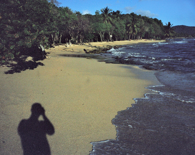
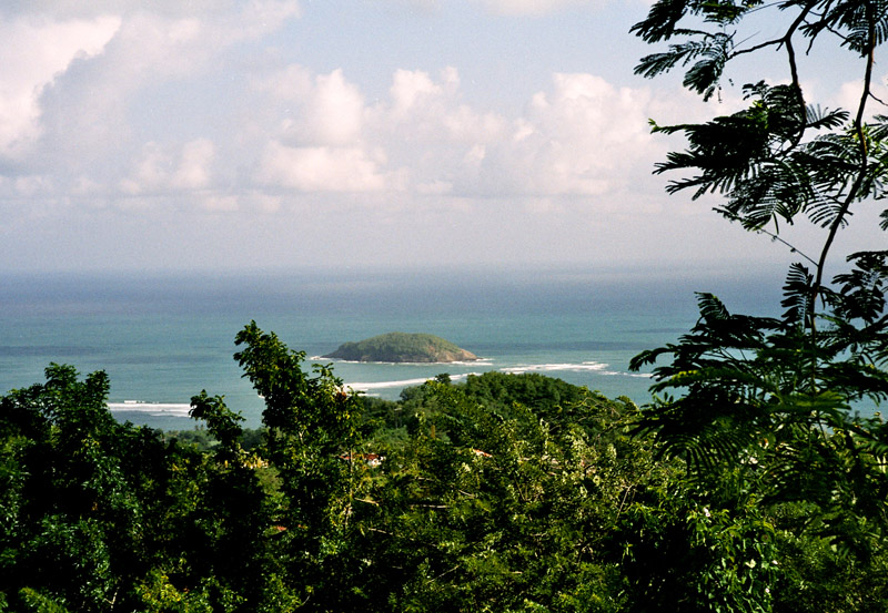
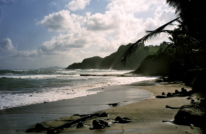
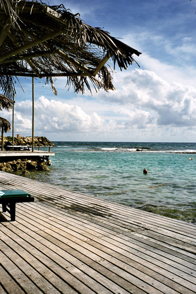
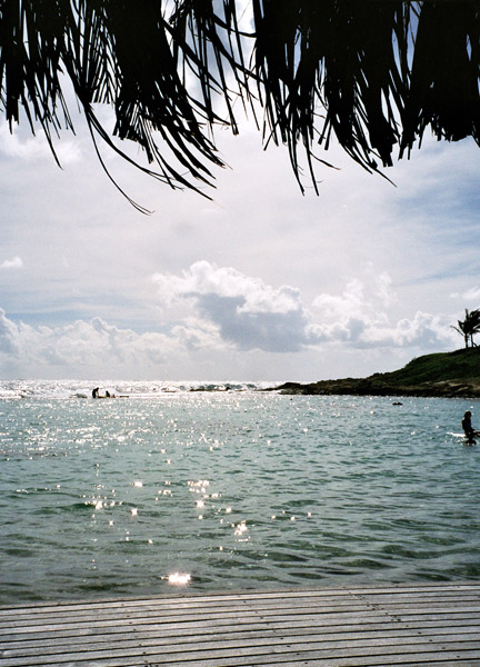
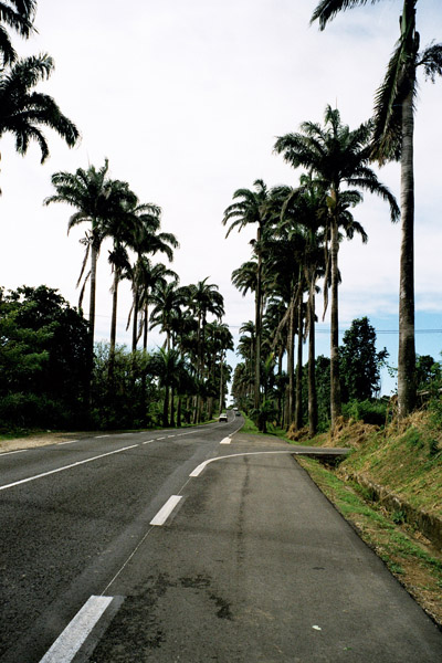
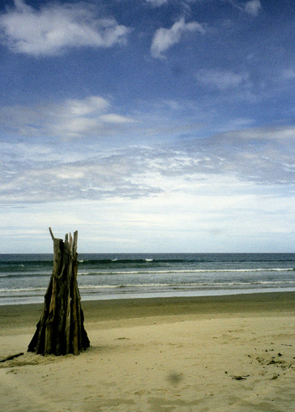
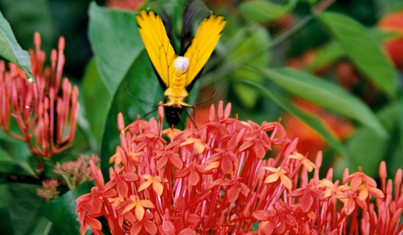
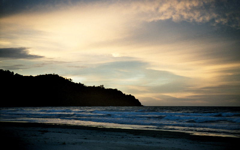
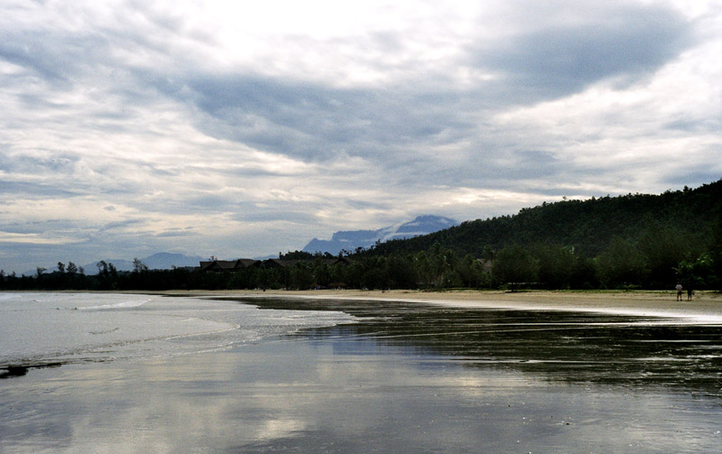
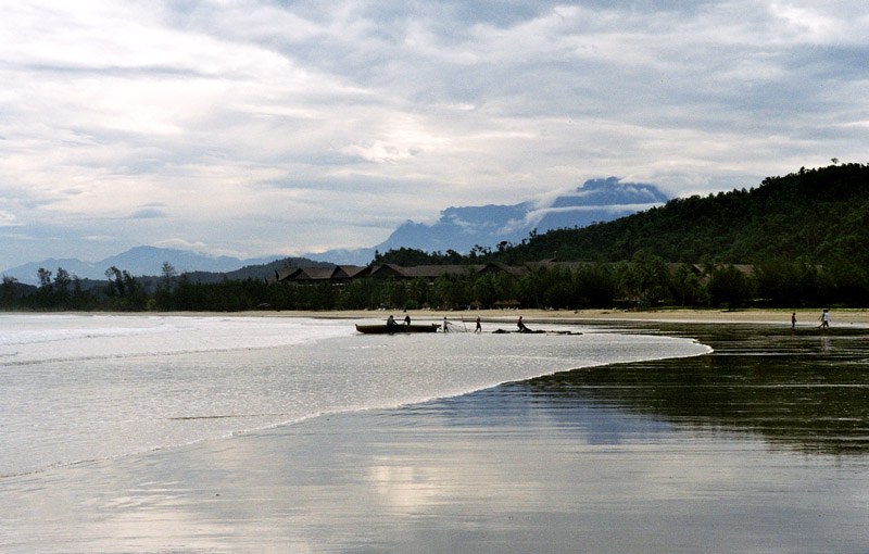
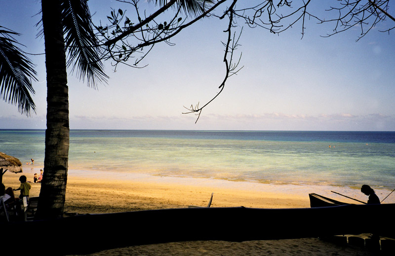
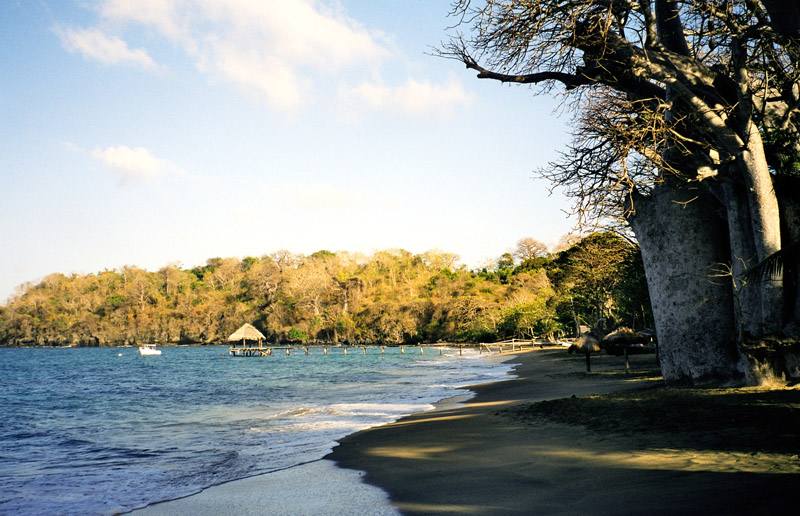
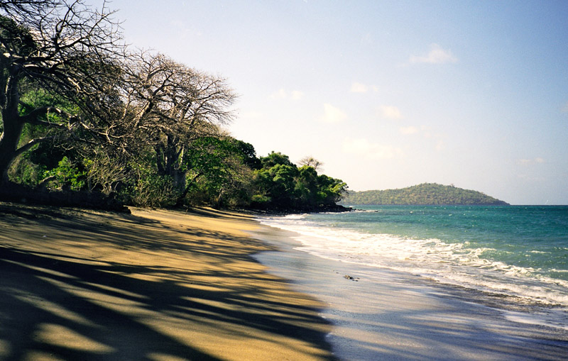
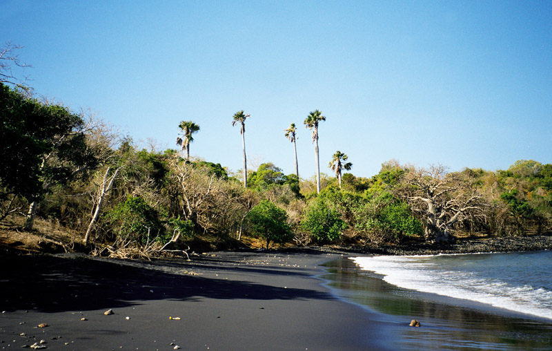
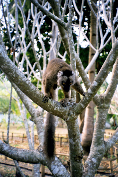
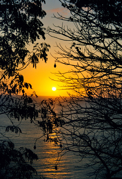
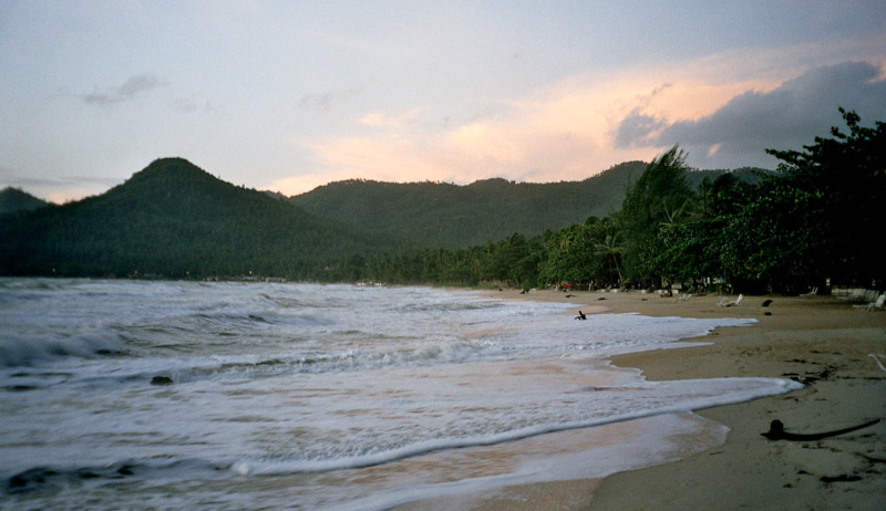
Ko Samui island of Surat Thani Province (or Koh Samui), or often, simply Samui as it is referred to by locals, is an island off the east coast of the Kra Isthmus in Thailand, close to the mainland Surat Thani town. It is Thailand’s third largest island, with an area of 228.7 km² and a population of over 50,000 (2008). It is rich with natural resources, white sandy beaches, coral reefs and coconut trees.

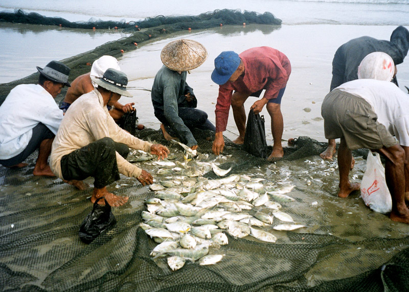
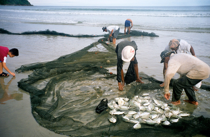
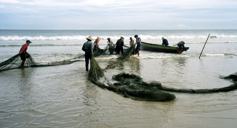
The island was probably first inhabited about 15 centuries ago, settled by fishermen from the Malay Peninsula and Southern China. It appears on Chinese maps dating back to 1687, under the name Pulo Cornam. The name Samui is mysterious in itself. Perhaps it is an extension of the name of one of the native trees, mui, or from the Chinese word Saboey, meaning “safe haven”. Ko is the Thai word for “island.”

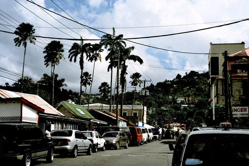
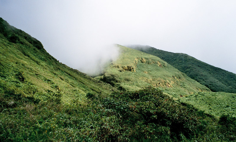
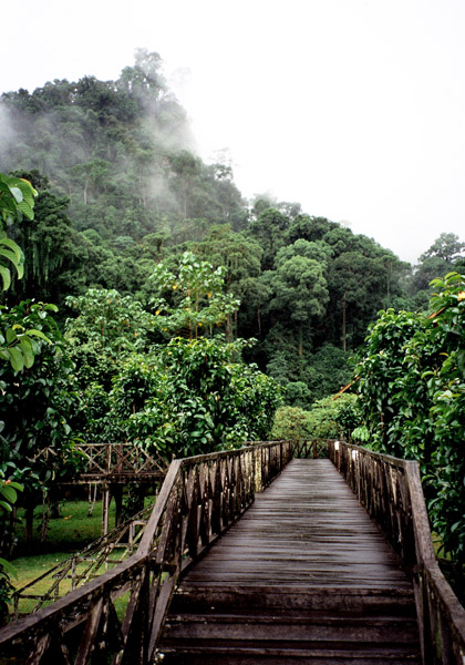
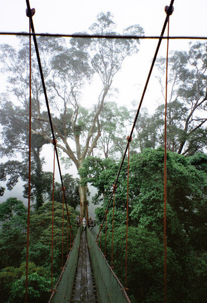
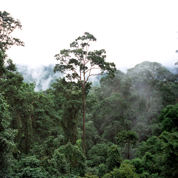
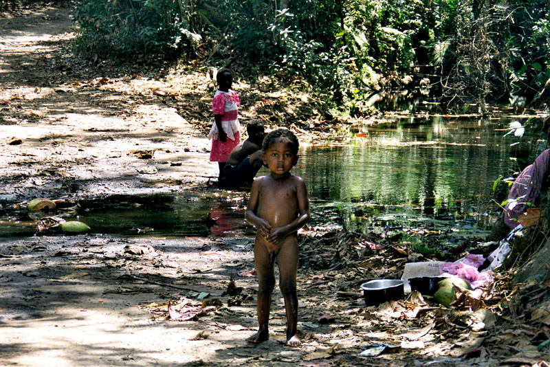
Until the late 20th century, Ko Samui was an isolated self-sufficient community, having little connection with the mainland of Thailand. The island was even without roads until the early 1970s, and the 15 km journey from one side of the island to the other involved a whole-day trek through the mountainous central jungles.

Source: Wikipedia (under GNU Free Documentation License)

Categories
Martinique

Martinique

Martinique is an island in the eastern Caribbean Sea, with a land area of 1,128 km2 (436 sq mi). It is an overseas department of France. To the northwest lies Dominica, to the south St Lucia, and to the southeast Barbados.

As with the other overseas departments, Martinique is also one of the twenty-six regions of France (being an overseas region) and an integral part of the Republic. As part of France, Martinique is part of the European Union, and its currency is the euro. Its official language is French, although many of its inhabitants also speak Antillean Creole and Modern English (Créole Martiniquais). Martinique is pictured on all euro banknotes, on the reverse at the bottom of each note, right of the Greek ΕΥΡΩ (EURO) next to the denomination.

The inhabitants of Martinique are French citizens with full political and legal rights. Martinique sends four deputies to the French National Assembly and two senators to the French Senate.

Source: Wikipedia (under GNU Free Documentation License)

Categories
Guadeloupe

Guadeloupe

Guadeloupe (Antillean Creole: Gwadloup) is an archipelago located in the eastern Caribbean Sea; with a land area of 1,628 square kilometres (629 sq. mi). It is an overseas department of France. As with the other overseas departments, Guadeloupe is also one of the twenty-six regions of France (being an overseas region) and an integral part of the Republic. As part of France, Guadeloupe is part of the European Union; hence, as for most EU countries, its currency is the euro. However, Guadeloupe does not fall under the Schengen Agreement. The prefecture of Guadeloupe is Basse-Terre.

Guadeloupe comprises five islands: Basse-Terre Island, Grande-Terre (separated from Basse-Terre by a narrow sea channel called Salt River) with the adjacent islands of La Désirade, Les Saintes and Marie-Galante.

Basse-Terre has a rough volcanic relief while Grande-Terre features rolling hills and flat plains.

Further to the north, Saint-Barthélemy and the French part of Saint Martin once came under the jurisdiction of Guadeloupe but on 7 December 2003, both of these areas voted to become an overseas territorial collectivity, a decision which took effect on 22 February 2007.

Source: Wikipedia (under GNU Free Documentation License)

Categories
Malaysia

Borneo

Borneo is the third largest island in the world and is located at the centre of Maritime Southeast Asia.

Indonesians refer to the entire island as Kalimantan. Malaysians usually refer to the island by the names of either of its two Malaysian states, Sarawak and Sabah. The independent nation of Brunei occupies the remainder of the island.

Source: Wikipedia (under GNU Free Documentation License)

Borneo is surrounded by the South China Sea to the north and northwest, the Sulu Sea to the northeast, the Celebes Sea and the Makassar Strait to the east and the Java Sea and Karimata Strait to the south. It has an area of 743,330 square kilometres (287,000 sq mi).

To the west of Borneo are the Malay Peninsula and Sumatra. To the south is Java. To the east is the island of Sulawesi (Celebes). To the northeast is the Philippines.

Borneo’s highest point is Mount Kinabalu in Sabah, Malaysia, with an elevation of 4,095 m (13,440 ft) above sea level. This makes it the world’s third highest island.

Categories
Majotte

Mayotte

Mayotte (French: Mayotte; Shimaore (Swahili dialect): Maore; Malagasy: Mahori), officially the Departmental Collectivity of Mayotte (French: Collectivité départementale de Mayotte), is an overseas collectivity of France consisting of a main island, Grande-Terre (or Mahoré), a smaller island, Petite-Terre (or Pamanzi), and several islets around these two.

Mayotte is very densely populated. It is in the northern Mozambique Channel in the Indian Ocean, between northern Madagascar and northern Mozambique. The territory is geographically part of the Comoro Islands, but has been politically separate since the 1970s. The territory is also known as Mahoré, the native name of its main island, especially by advocates of its inclusion in the Union of Comoros.

The main island, Grande-Terre (or Mahoré), geologically the oldest of the Comoros, is 39 kilometres (24 mi) long and 22 kilometres (13½ mi) wide, and its highest point is Mount Benara (French: Mont Bénara; Shimaore: Mlima Bénara) at 660 metres (2,165 ft) above sea level. Because of the volcanic rock, the soil is relatively rich in some areas. A coral reef encircling much of the island ensures protection for ships and a habitat for fish.

Source: Wikipedia (under GNU Free Documentation License)

Categories
Barbados

Barbados

Barbados, situated just east of the Caribbean Sea, is a West Indian continental island-nation in the western Atlantic Ocean. After a brief claim by Spain in 1492 and later Portugal, Barbados became a colony and protectorate of the United Kingdom for over three centuries. The country currently maintains Queen Elizabeth II as head of state. Located at roughly 13° North of the equator and 59° West of the prime meridian, it is considered a part of the Lesser Antilles. Its closest island neighbours are Martinique, Saint Lucia, and Saint Vincent & the Grenadines to the west. To the south lies Trinidad and Tobago – with which Barbados now shares a fixed official maritime boundary – and also the South American mainland. Barbados’s total land area is about 430 square kilometres (166 square miles), and is primarily low-lying, with some higher in the country’s interior. The highest point in Barbados is Mount Hillaby in the parish of Saint Andrew.

The geological composition of Barbados is of non-volcanic origin, predominantly limestone-coral. After the break of South America from Africa in the Mesozoic, a reef formed. During the Cenozoic, as both the Caribbean and South American plates moved westward, the two plates impacted and pressed this reef upward. Barbados is part of a North Atlantic Ocean submarine mountain range located to the east of the Windward Islands. This range stretches from its close proximity of Puerto Rico in the north, to a south-easterly direction toward Venezuela. The island of Barbados forms the only part of this mountain range that rises above sea level.

The island’s climate is tropical, with constant trade winds off the Atlantic Ocean serving to keep temperatures mild. Some less developed areas of the country contain tropical woodland and mangroves. Other parts of the interior which contribute to the agriculture industry are dotted with large sugarcane estates and wide, gently sloping pastures, with panoramic views down to the coast also.

Source: Wikipedia (under GNU Free Documentation License)