Categories
Galapagos

Santa Cruz

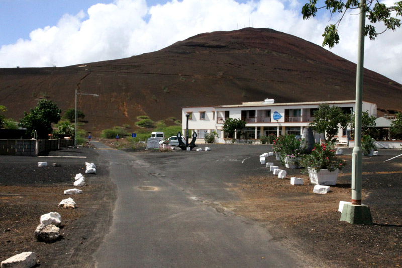
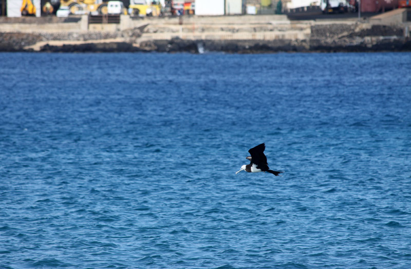
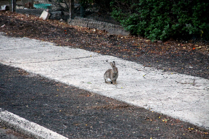
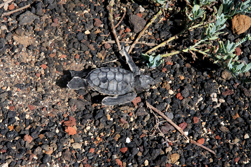
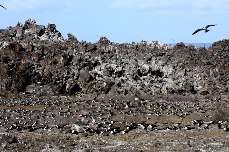
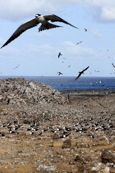
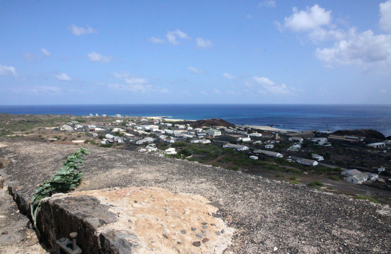
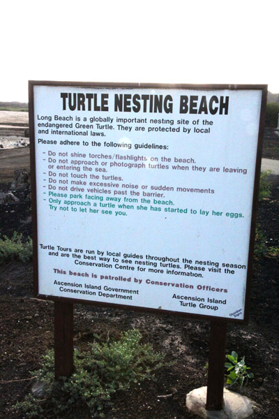
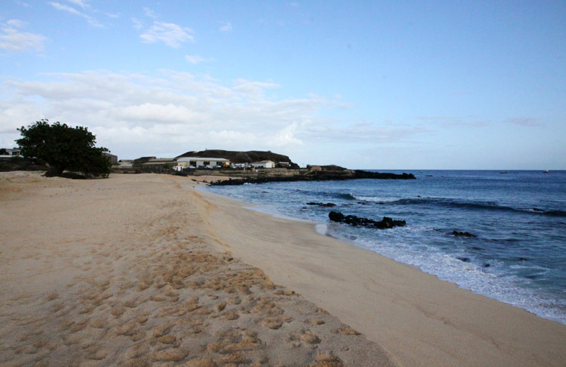
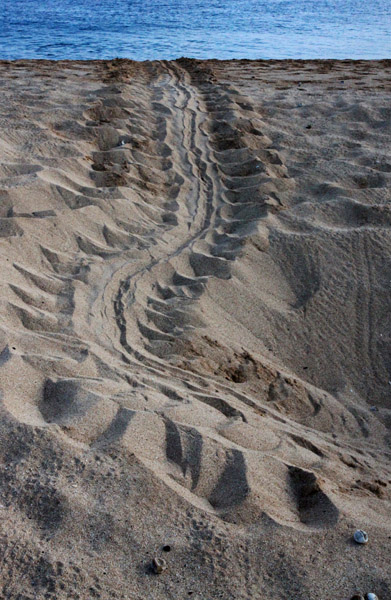
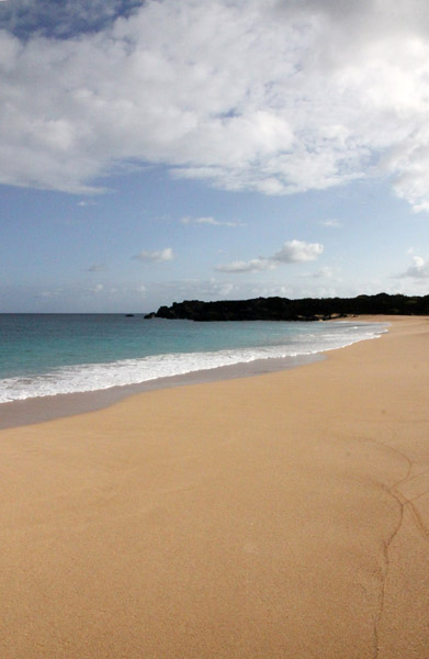
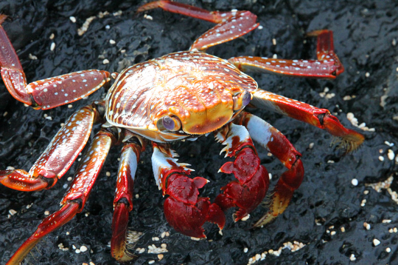
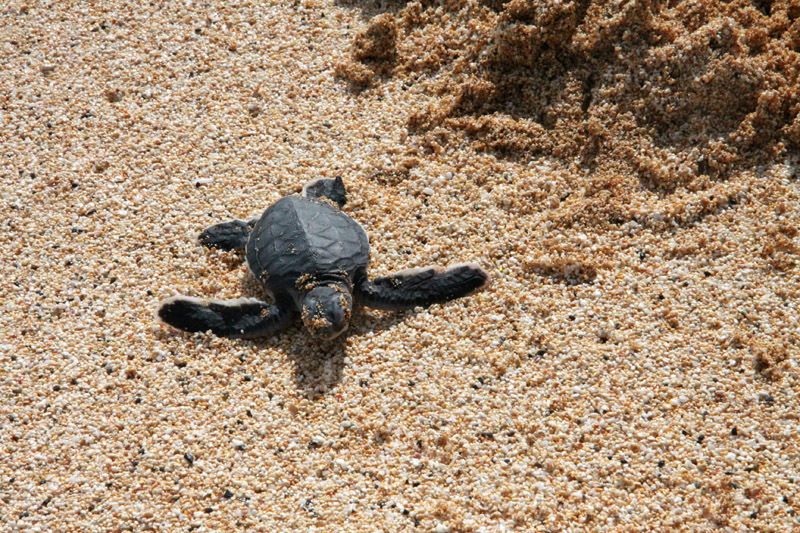
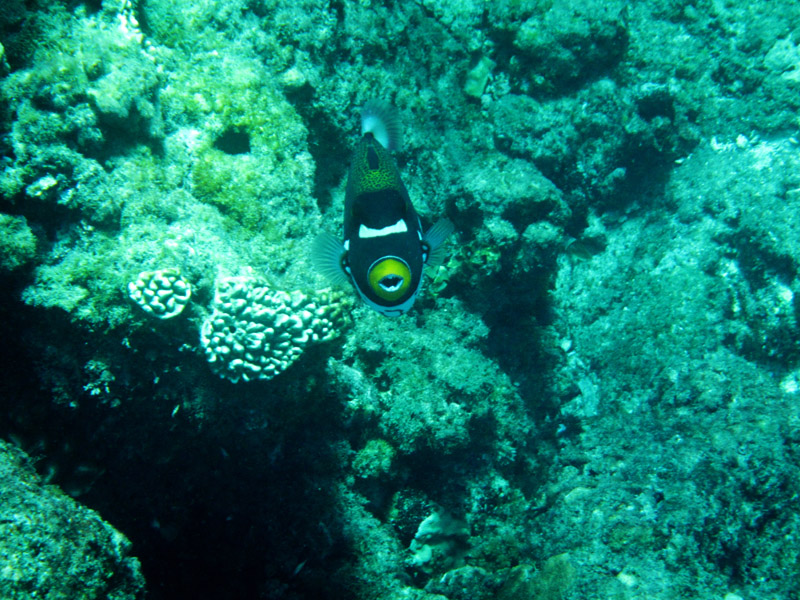
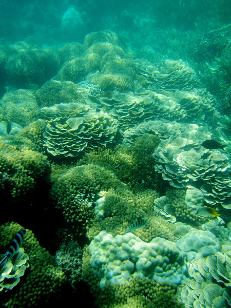
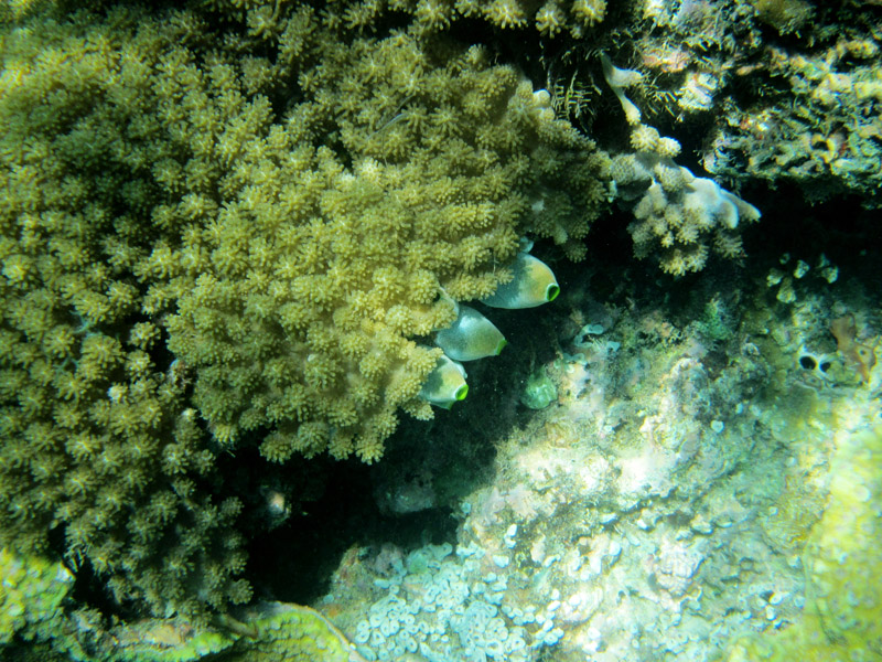
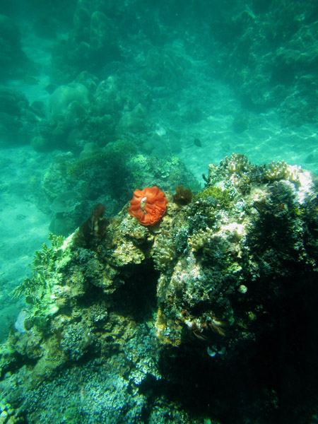
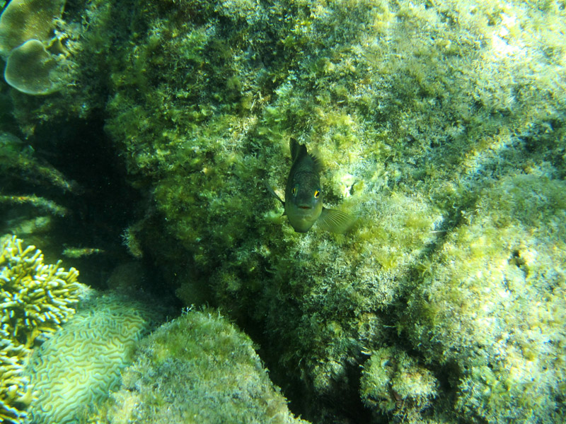
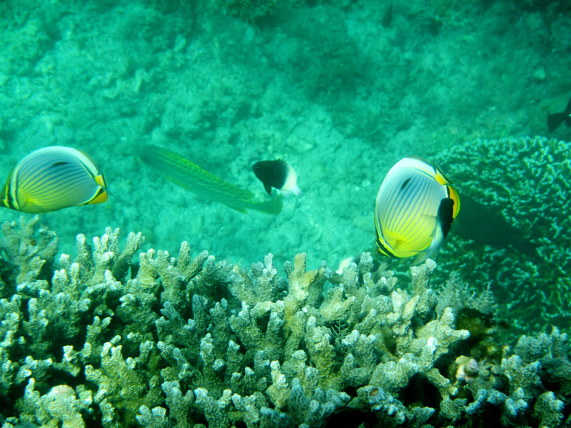
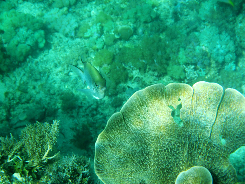
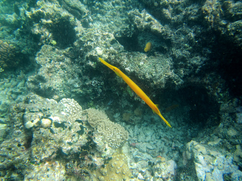
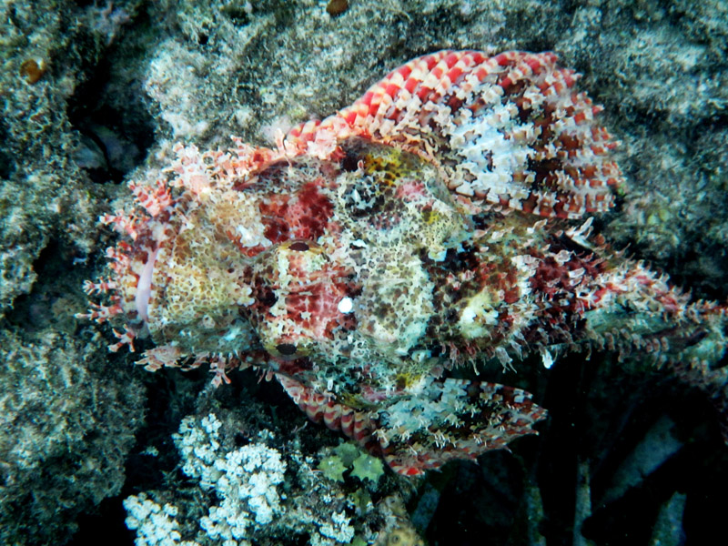
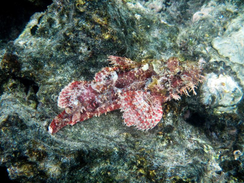
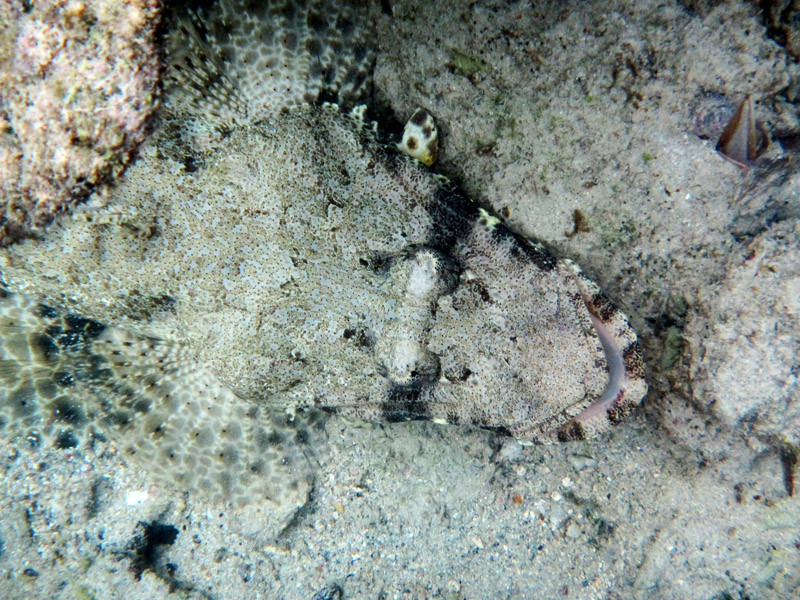
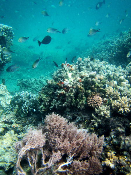
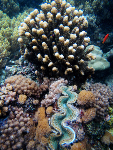
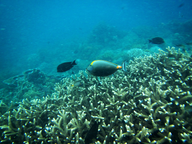
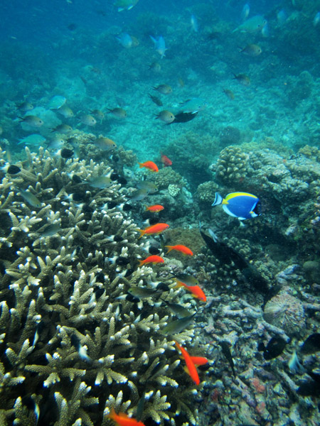
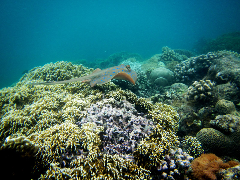
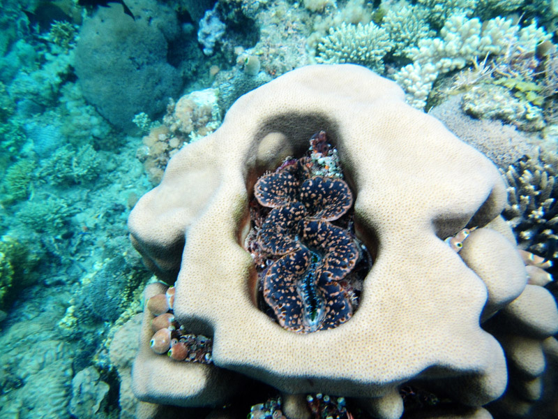
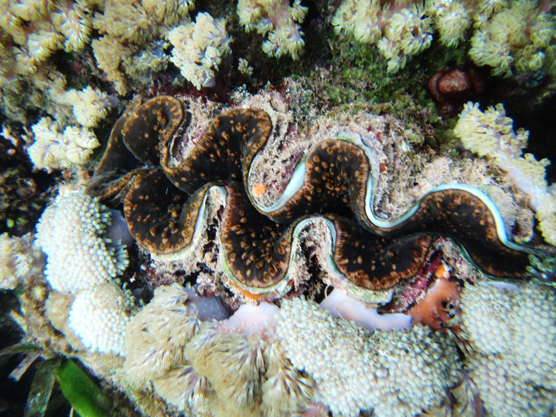
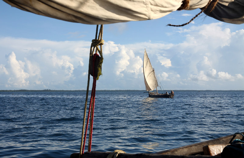
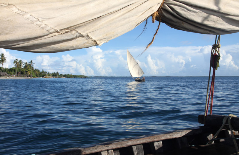
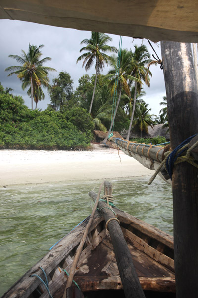
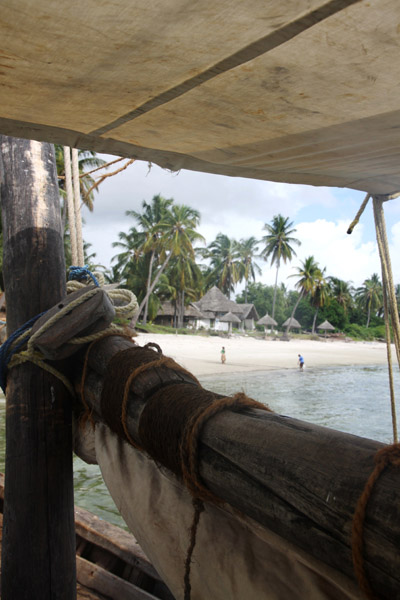
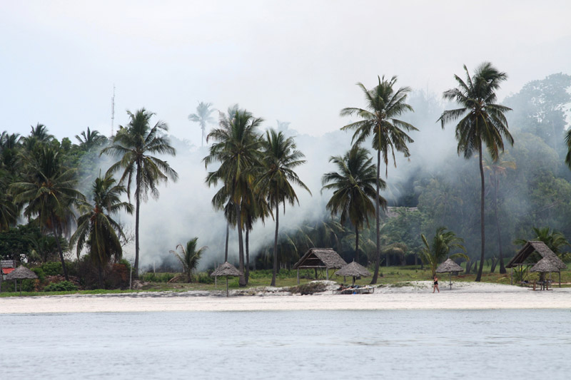
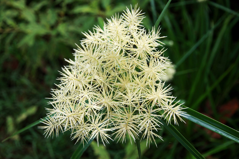
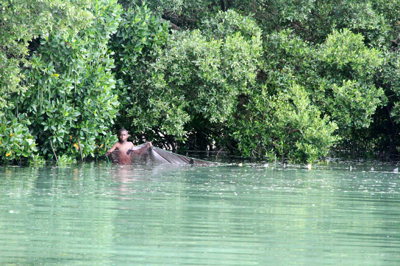
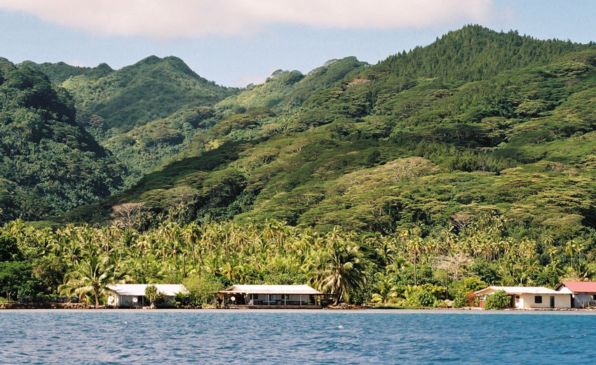
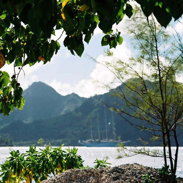
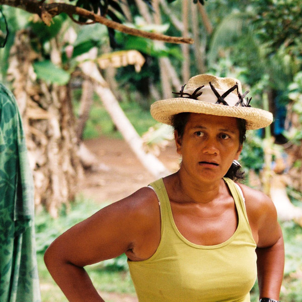
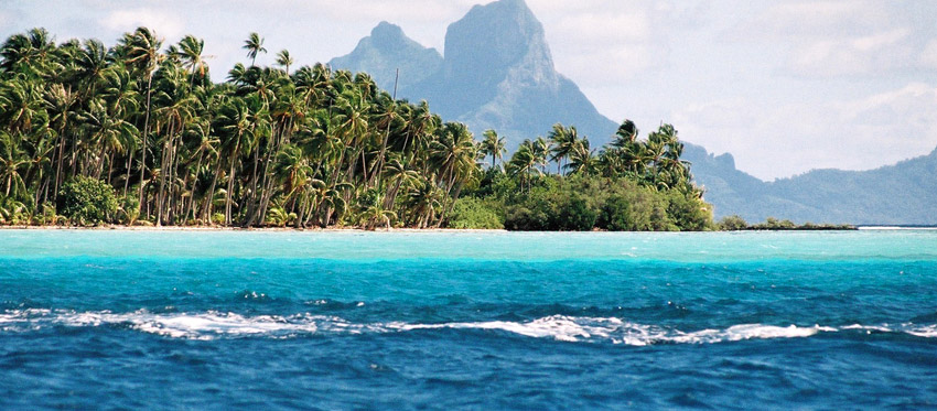
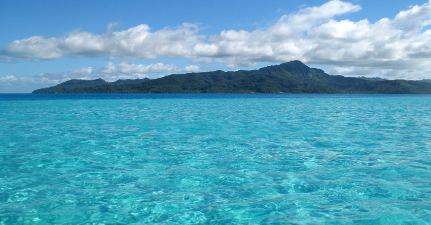
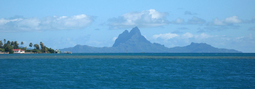
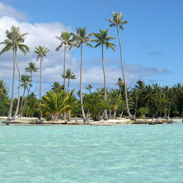
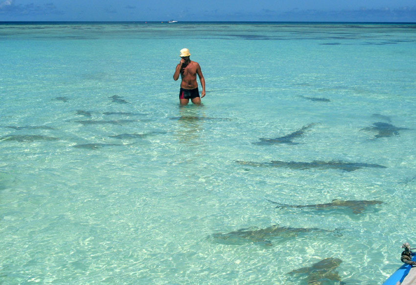
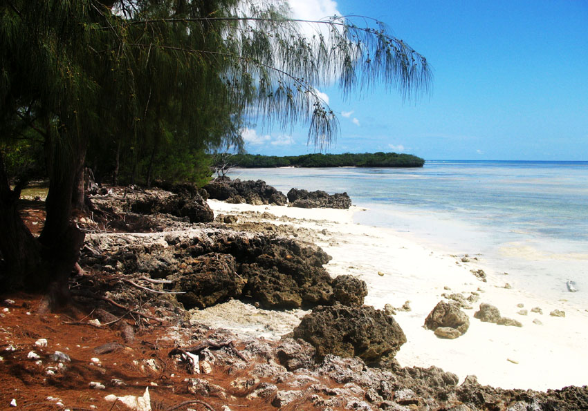
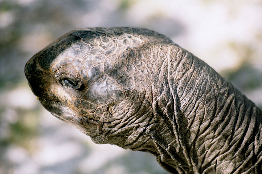
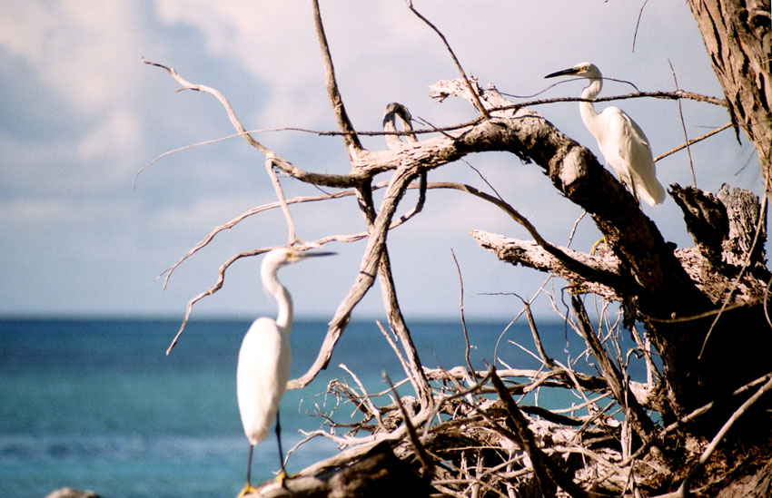
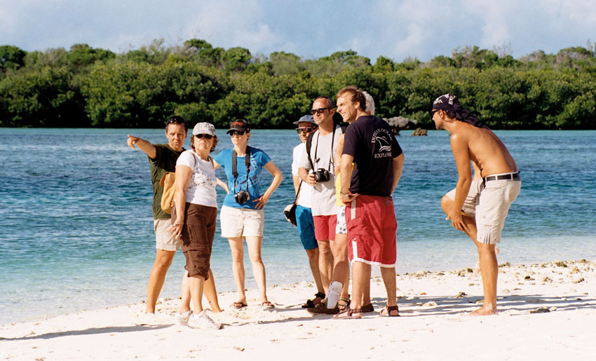
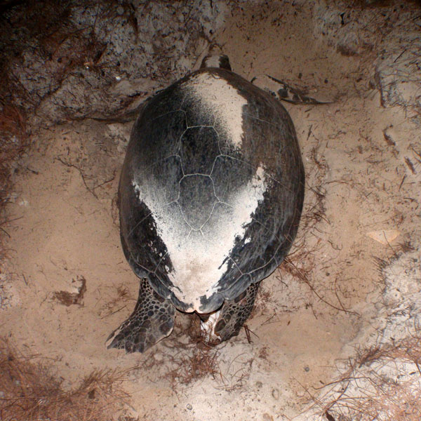
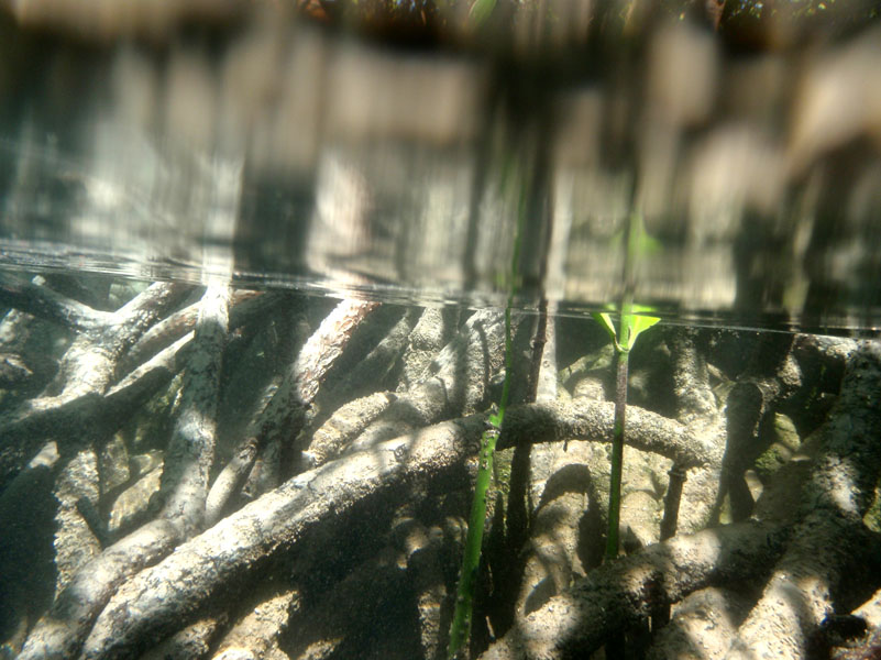
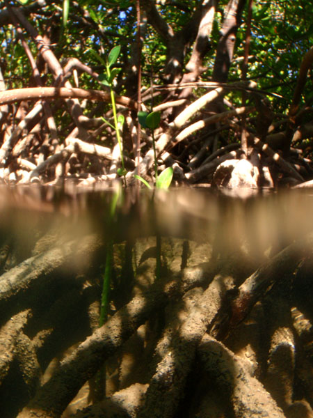
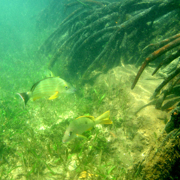
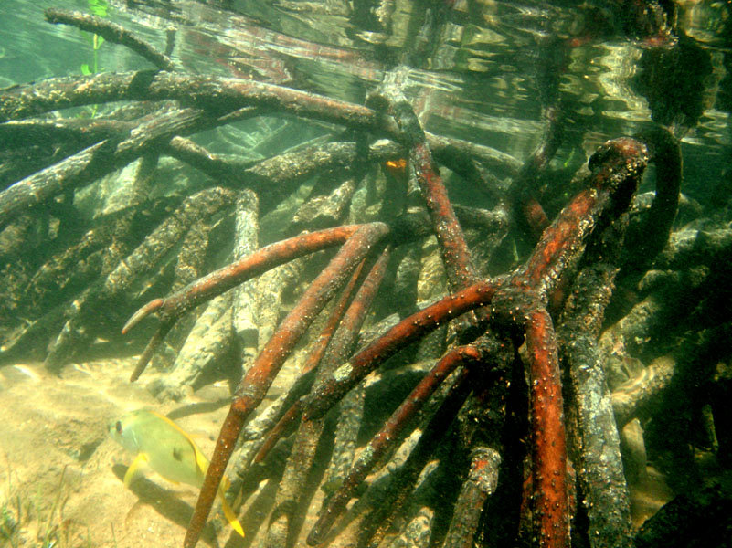
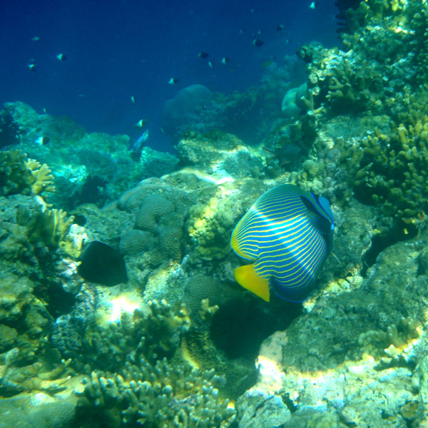
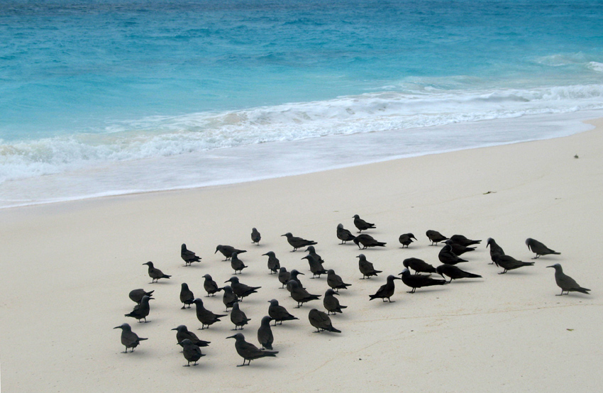
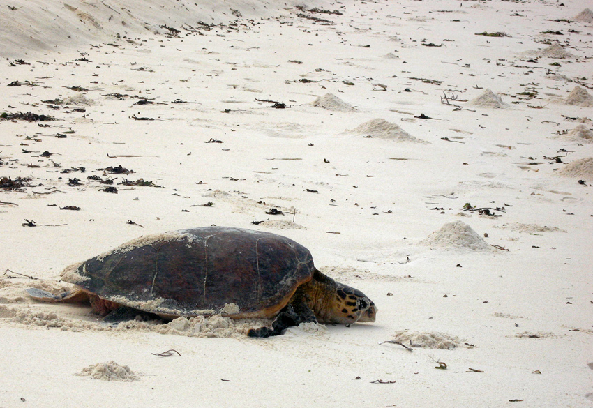
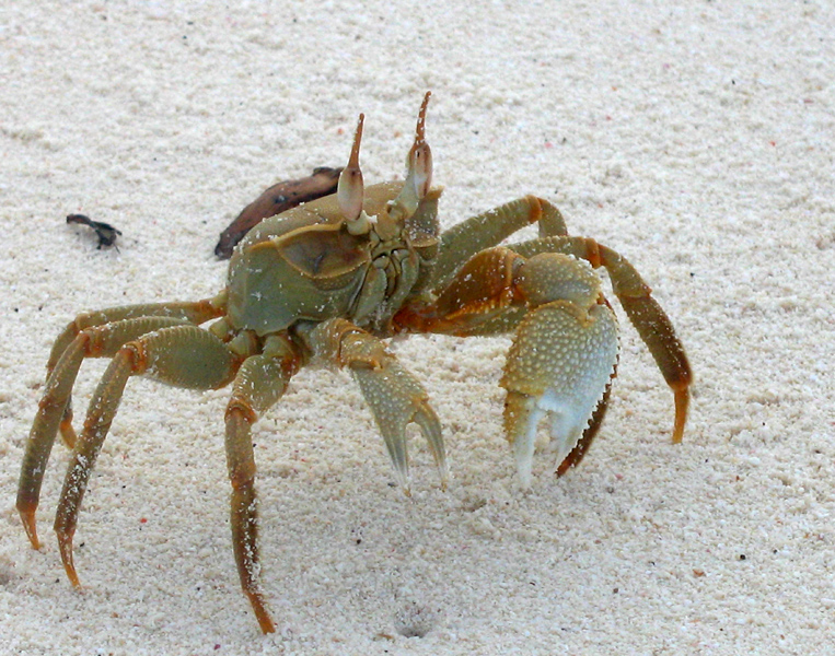
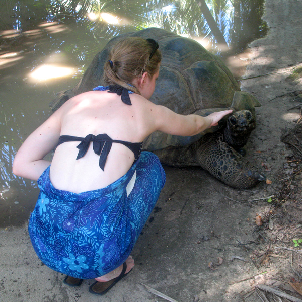
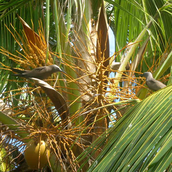
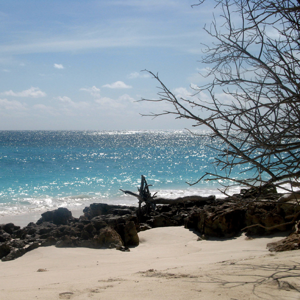
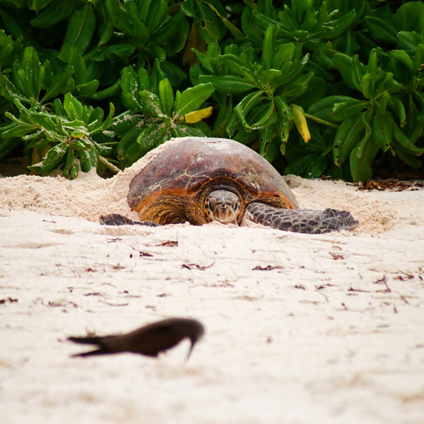
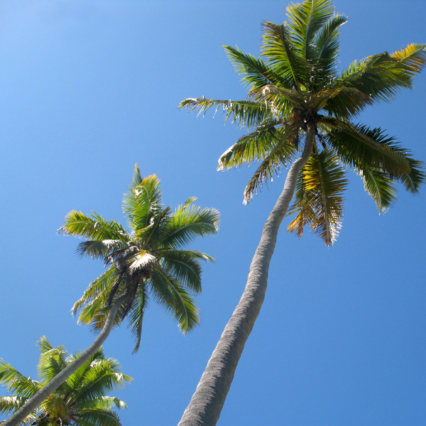
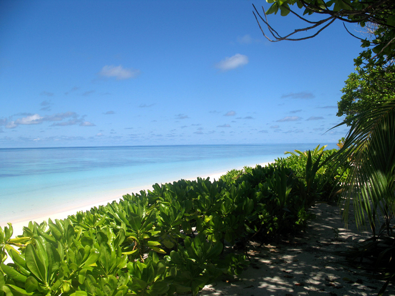
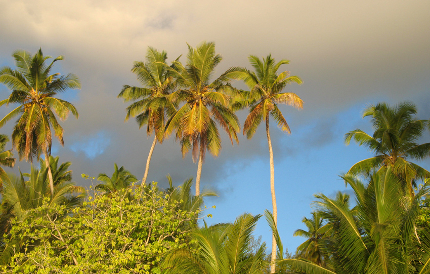
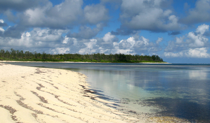
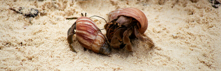
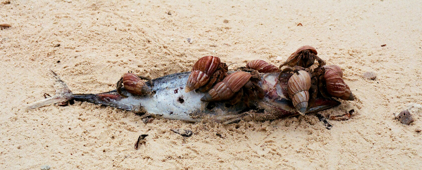
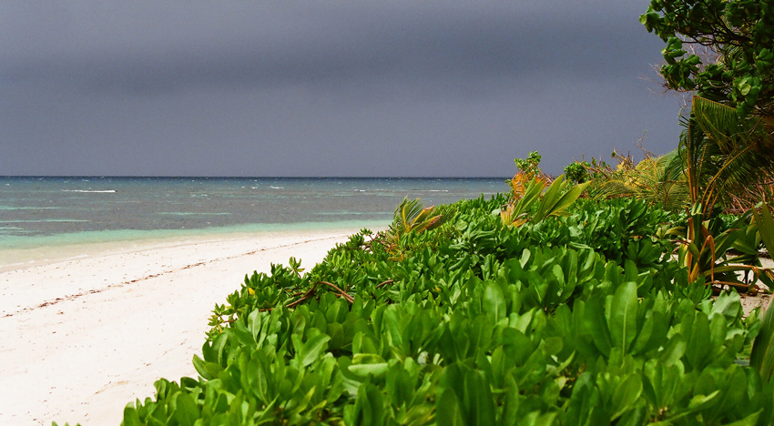
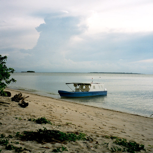
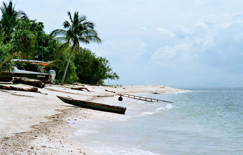
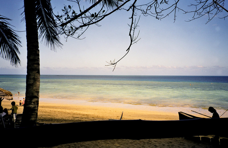
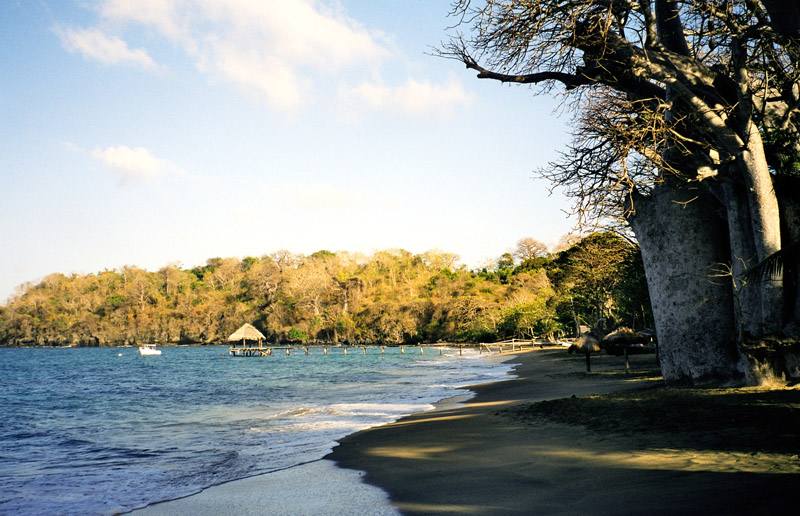
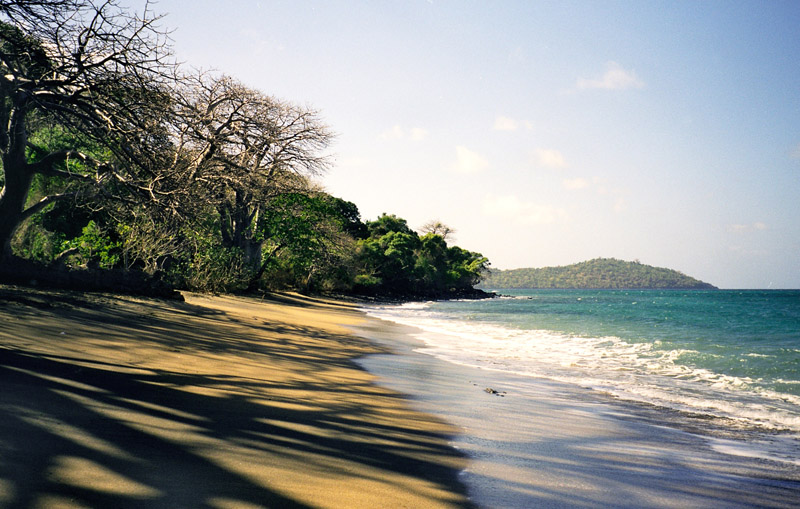
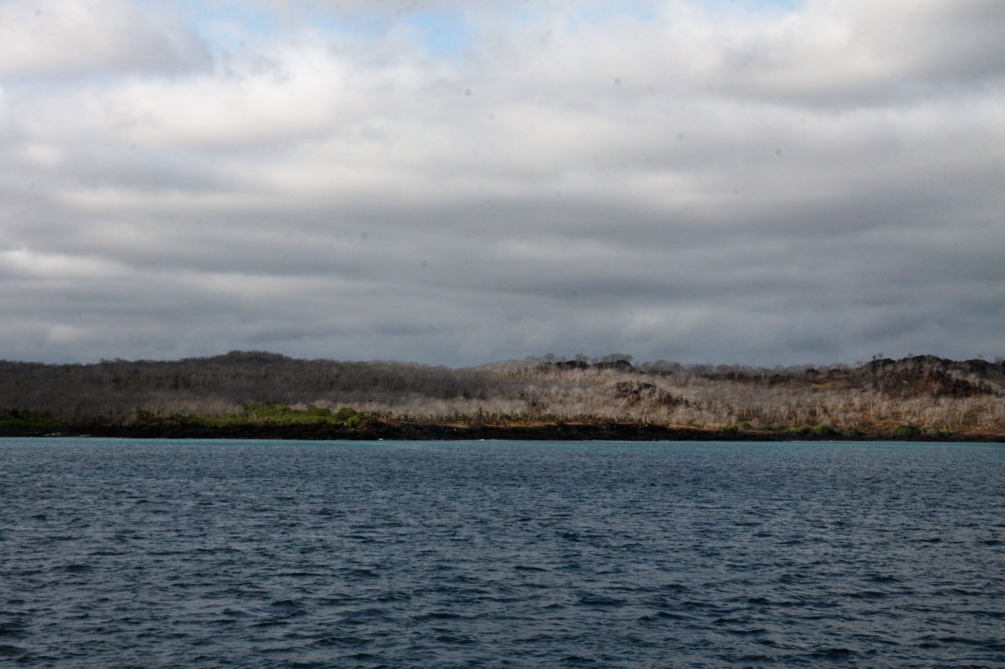
Santa Cruz Island (Spanish pronunciation: [ˈsanta ˈkɾus]) is one of the Galápagos Islands with an area of 986 km2 (381 sq mi) and a maximum altitude of 864 metres (2,835 ft). Situated in the center of the archipelago, Santa Cruz is the second largest island after Isabela. Its capital is Puerto Ayora, the most populated urban centre in the islands. On Santa Cruz, there are some small villages, whose inhabitants work in agriculture and cattle raising.

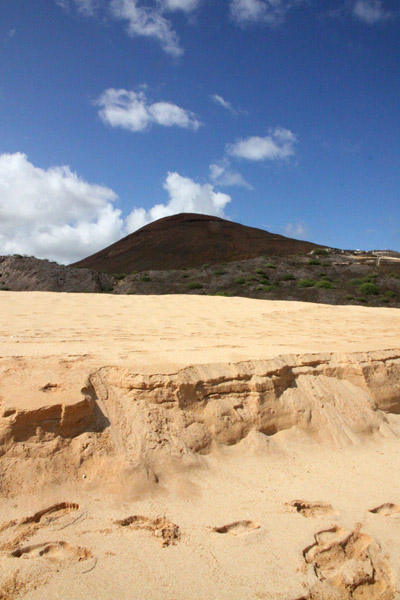
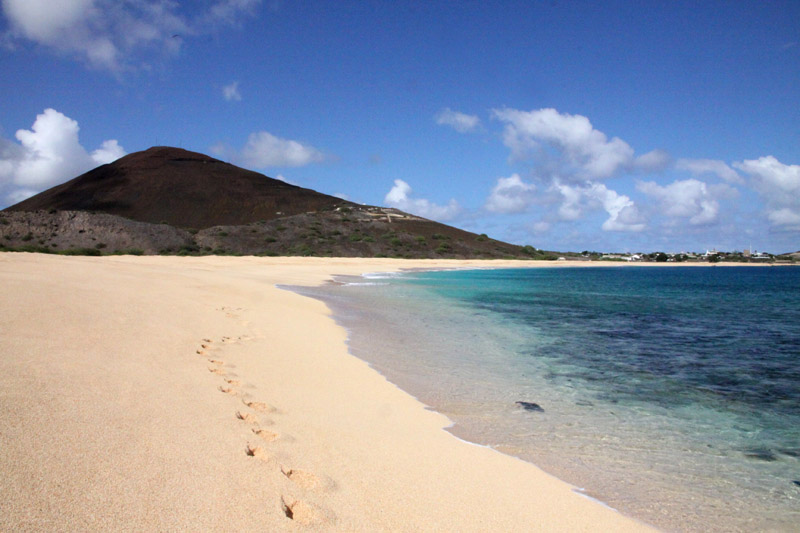
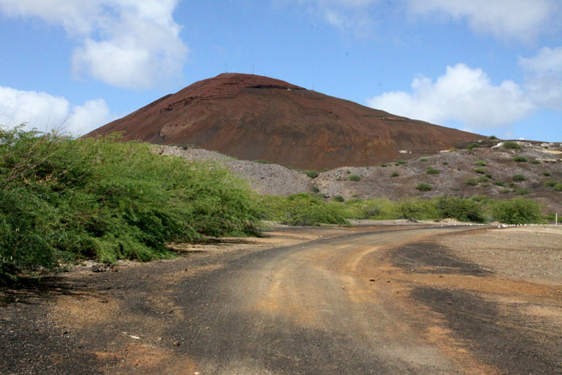
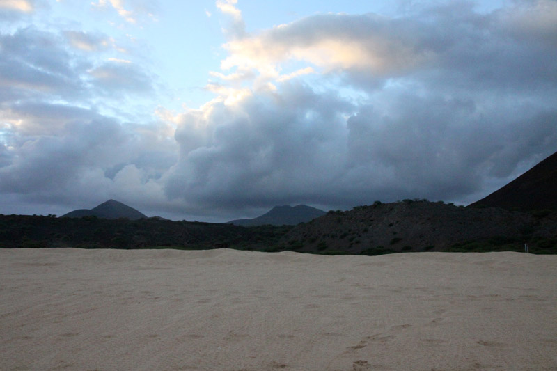
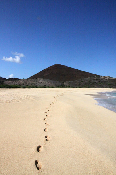
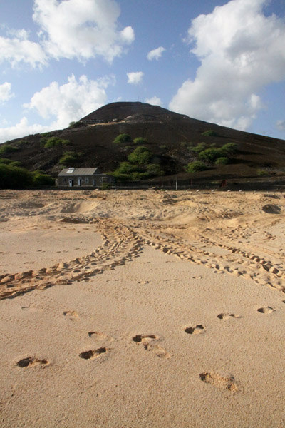
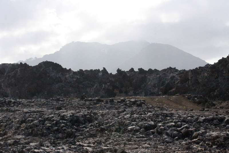
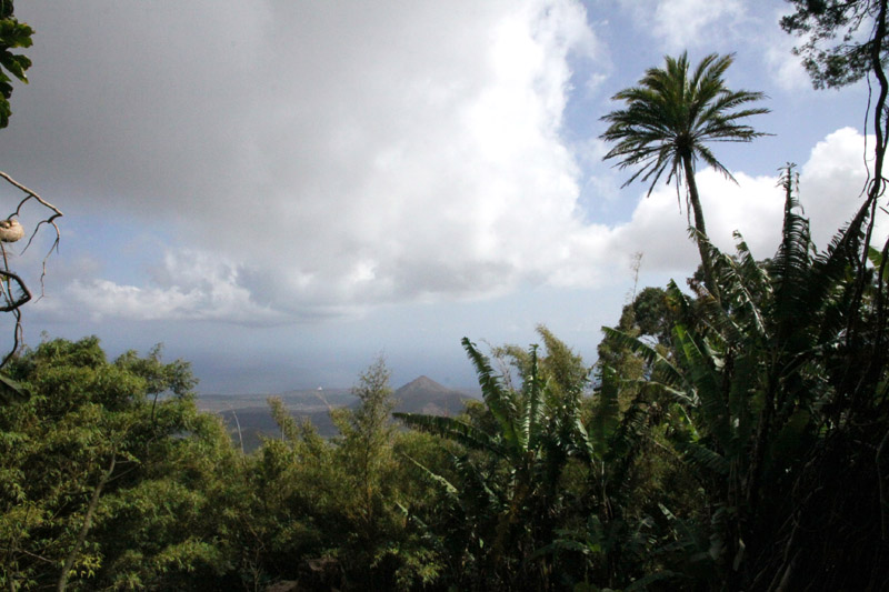
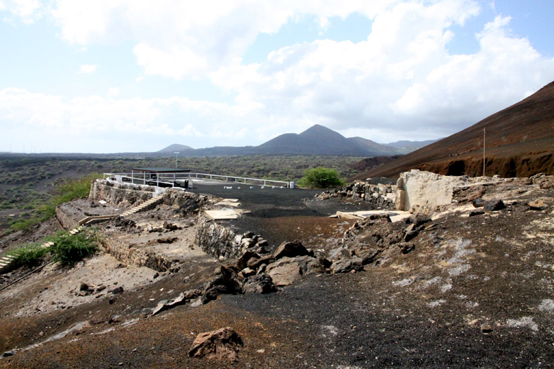
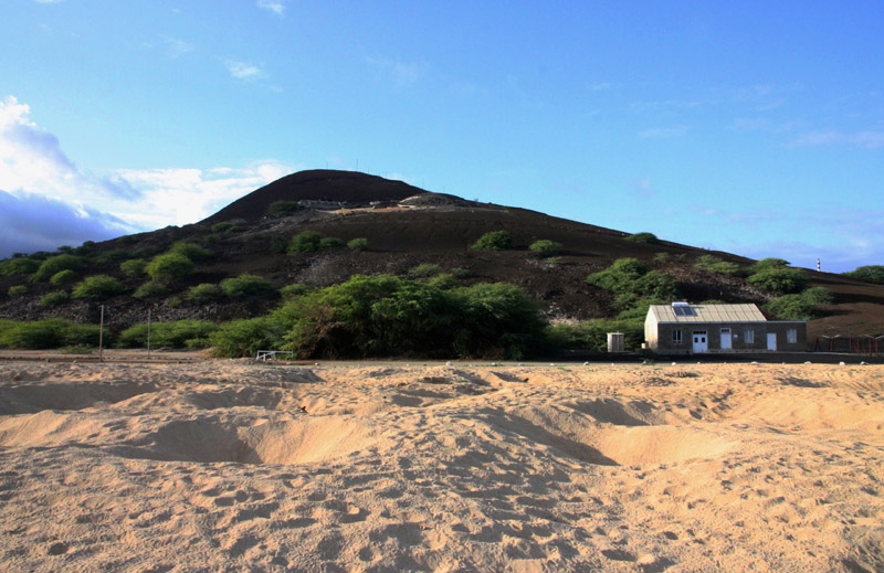
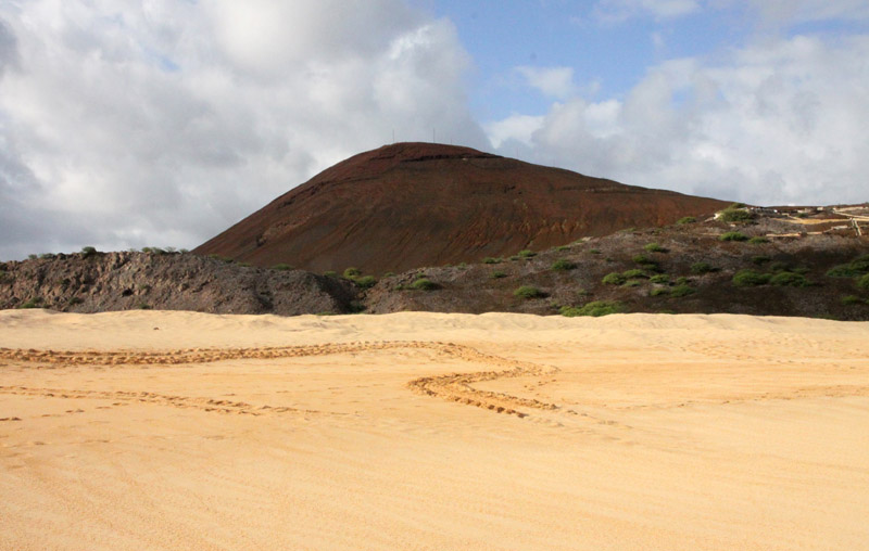
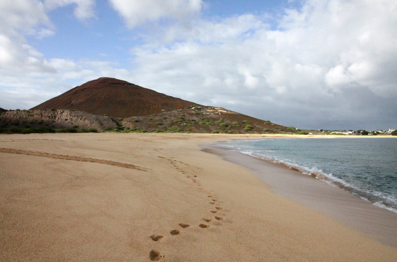
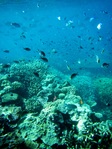
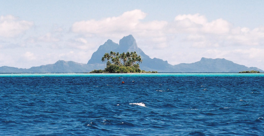
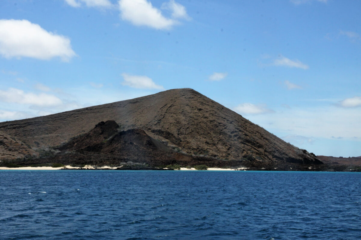
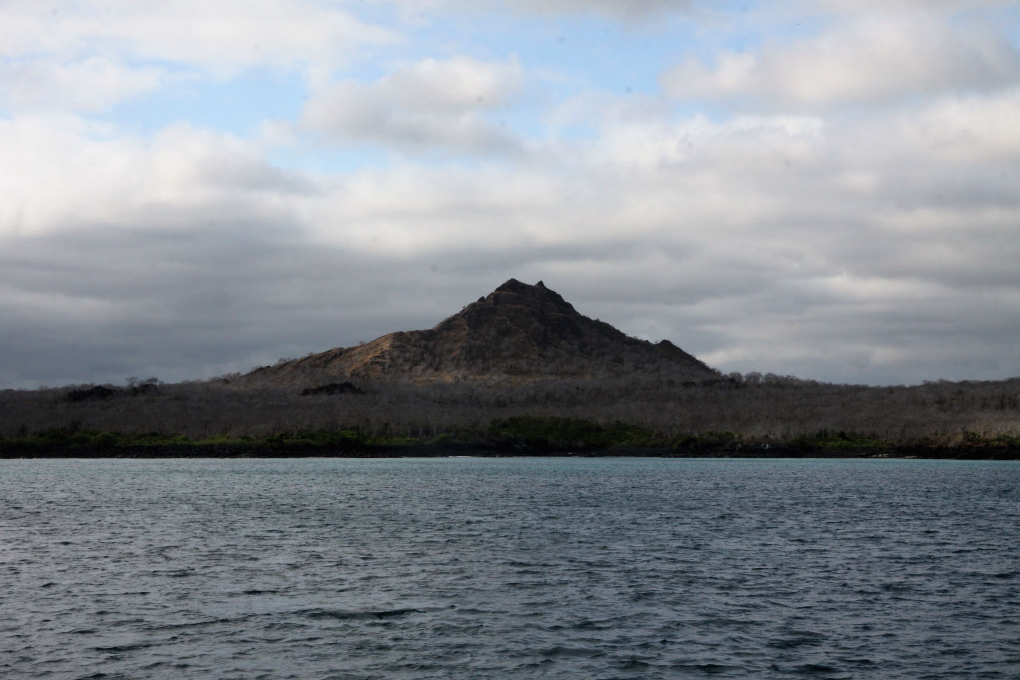
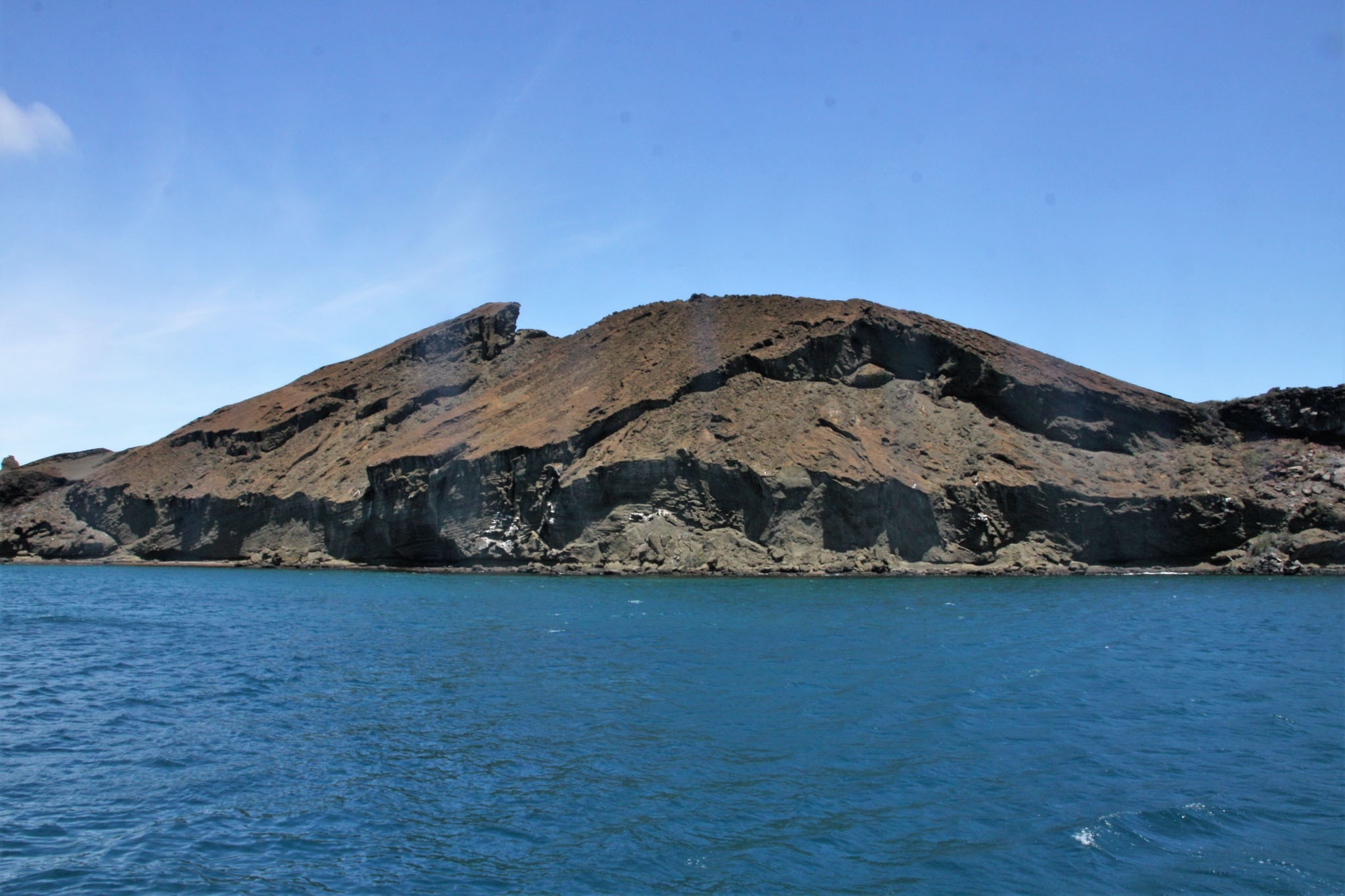
The island is an oval-shaped, 32 km (20 mi) long and 40 km (25 mi) wide shield volcano. Its summit contains a shallow caldera that has been largely buried by youthful pit craters and cinder cones with well-preserved craters. The most recent eruptions may have occurred only a few thousand years ago with the effusion of sparsely vegetated lava flows from vents on the north flank and along the summit fissure. A gigantic lava tube measuring over 2,000 m (6,600 ft) long is a tourist attraction on the island. As a testimony to its volcanic history there are two big holes formed by the collapse of a magma chamber: Los Gemelos, or “The Twins”.

Source: Wikipedia (under GNU Free Documentation License)

Categories
Ascension

Ascension Island

Ascension Island is an isolated volcanic island in the equatorial waters of the South Atlantic Ocean, around 1,600 kilometres (1,000 mi) from the coast of Africa and 2,250 kilometres (1,400 mi) from the coast of South America, which is roughly midway between the horn of South America and Africa. It is governed as part of the British Overseas Territory of Saint Helena, Ascension and Tristan da Cunha, of which the main island, Saint Helena, is around 1,300 kilometres (800 mi) to the southeast. The territory also includes the “remotest populated archipelago” on earth, the sparsely populated Tristan da Cunha archipelago, some thirty degrees farther south and about half the way to the Antarctic Circle.

The island is named after the day of its recorded discovery, Ascension Day, and is located at 7°56′S 14°22′W, about as far south of the equator as tropical Venezuela is to its north. Historically, it has played a role as an important safe haven and coaling station to mariners and for commercial airliners during the days of international air travel by flying boats and during World War II was an important naval and air station, especially providing antisubmarine warfare bases in the Battle of the Atlantic and throughout the war. Ascension Island was garrisoned by the British Admiralty from 22 October 1815 to 1922.

The island is the location of RAF Ascension Island, which is a Royal Air Force station with a United States Air Force presence, a European Space Agency rocket tracking station, an Anglo-American signals intelligence facility and the BBC World Service Atlantic Relay Station. The island was used extensively by the British military during the Falklands War. Ascension Island hosts one of five ground antennae (others are on Kwajalein Island, Diego Garcia, Colorado Springs and Hawaii) that assist in the operation of the Global Positioning System (GPS) navigational system.

Source: Wikipedia (under GNU Free Documentation License)

Categories
Tanzania

Mafia Island III

Mafia Island (“Chole Shamba”) is part of the Tanzanian Spice Islands, together with Unguja and Pemba. As one of the six districts of the Pwani Region, Mafia Island is governed from the mainland, not from the semi-autonomous region of Zanzibar, of which it has never been considered to be a part.

According to the 2002 Tanzania census, the population of the Mafia District was 40,801.The economy is based on fishing, subsistence agriculture and the black market. The island attracts some tourists, mainly adventure scuba divers, game fishermen, and people wanting relaxation.

The Mafia archipelago consists of one large island (394 km²) and numerous smaller ones. Some of these are inhabited, such as Chole Island (2 km²), with a population of 800. Chole Bay, Mafia’s protected deep-water anchorage and original harbour, is studded with islands, sandbanks and beaches. The main town is Kilindoni. The stretch of water between the deltas of the Rufiji River and the island is called Mafia Channel. There are popular rumours of pygmy hippo on the island but there are zero confirmed sightings.

Source: Wikipedia (under GNU Free Documentation License)

Categories
French Polynesia Society Islands

Tahaa

Tahaa is an island located among the Society Islands, in French Polynesia, an overseas territory of France in the Pacific Ocean. The islands of Tahaa and neighboring Raiatea are enclosed by the same coral reef, and may once have been a single island.

Administratively speaking, Tahaa and the surrounding islets emerging from the coral reef form a commune (municipality) part of the administrative subdivision of the Leeward Islands. The administrative centre of the commune of Tahaa is the settlement of Patio.

Tahaa produces 70-80% of all French Polynesia’s vanilla. Because of the pervasive aroma of vanilla, Tahaa is known as the “Vanilla Island”. Tahaa’s pearls are of exceptional quality.

Taha’a and its small motus (islets) can be reached by boat and outrigger from Raiatea. The short sail drops visitors on a motu beach with a perfect small lagoon, and in the near distance, a view of Bora Bora framed by the coconut palms and the lagoon. This is a short day trip to a more simple Tahiti.

Source: Wikipedia (under GNU Free Documentation License)

Categories
Seychelles

Aldabra Atoll

Aldabra is a raised coral atoll in the Aldabra Group of islands in the Indian Ocean that form part of the Seychelles. The island is more than 700 miles from Mahé and is closer to the coast of Africa and Madagascar. Virtually untouched by humans, with distinctive island fauna, including the Aldabra Giant Tortoise, the island is designated a World Heritage Site. The atoll is home to the world’s largest population of giant tortoises, numbering some 100,000 individuals. They are also known for their green turtles, hawksbill turtles, hammerhead sharks, mantarays, barracuda, and birds, including the Aldabra rail, the last surviving flightless bird of the Indian Ocean region. The Aldabra Group includes the island of Assumption and the atolls of Astove and Cosmoledo.

Aladabra was designated a World Heritage Site on November 19, 1982, and is administered by the Seychelles Island Foundation based on Mahé. An environmental disaster for the island was averted in the 1960s when the British nearly entered into negotiations with the United States to turn the island into a military air base. The proposal created an international protest by ecologists and their lobbying resulted in military plans abandoned and the wildlife habitat receiving full protection.

Source: Wikipedia (under GNU Free Documentation License)

Categories
Seychelles

Astove

Astove Island is part of the Aldabra Group of the Seychelles. It is 38 km SSE of Cosmoledo Atoll, located at 10°06′S 47°45′E. It is a raised coral island of most peculiar form: a single stretch of land, more than 1 km (nearly one mile) at the widest, almost entirely encloses a shallow lagoon. This has a maximum depth of 3 metres (10 ft), and the only exit is a winding passage in the southwest, called Gueule Bras Channel.

Astove Island measures nearly 6 km (3.7 miles) north to south and about 4 km (2.5 mi) at most east to west. The land area is 4.96 km², and the total area including the lagoon 9.5 km². The only settlement, on the western coast, has been abandoned since the 1980s. There is a grass airstrip on the north east point of the island, and remnants of a former coconut and sisal plantation. Today, the island is rarely visited – usually by scientists researching the lagoon’s ecology – but the near-vertical drop-off from its outer reef edge is a popular location for diving cruises.

Source: Wikipedia (under GNU Free Documentation License)

Categories
Seychelles

Bird Island

Bird Island is the northernmost island in the Seychelles archipelago, 60 miles from Mahe. The 0.70 km² Coral island is known for its birdlife, including sooty terns, fairy terns and common noddies, and for hawksbill and green turtles. It is now a private resort with 24 bungalows. It also contains a small weather station.

Bird Island was formerly known as “Ile aux Vaches” due to the numerous dugongs (sea cows) that lived in nearby waters. Between 1896 and 1906, 17,000 tons of guano were removed from the island and exported to Mauritius as fertilizer. It formerly was a coconut plantation, and cash crops such as papaya and cotton were also grown.

Since 1967 it has been privately owned, and conservation measures have taken place such as protection of birdlife and sea turtle nesting sites, and the eradication of feral rats and rabbits.

Another phenomena of Bird island is that each Year in May millions of bird come for nesting to the island and before they start nesting they pick up water from the sea and drop in the large grass patch of the island, where they intend to nest. The salt water the bird drop makes the grass go dry and after a few weeks they can start building their nests on the dry ground.

Source: Wikipedia (under GNU Free Documentation License)

Categories
Seychelles

Desroches

Île Desroches or Desroches Island is the main island of the Amirante Islands, part of the Outer Islands of the Seychelles. It is located 230 km southwest of Mahé, the Seychelles’ main island. It is 6.2 km long and has a land area of 3.24 km². Along its circumference of 15 km is a beach of fine sand.

Desroches was named by Chevalier de Roslan, commander of the ship L’Heure du Berger, after the Chevalier des Roches, the Governor of Mauritius (then Île de France) and Réunion (then Bourbon) from 1767 to 1772. It was explored by the Chevalier de la Billioère in 1771. The British had originally named it Wood Island because of its dense tree vegetation. The island was an important producer of copra.

Desroches has a population of about 50, a settlement in the middle of the northwestern shore (looking to the lagoon), a small luxury hotel with 20 rooms in the south (Desroches Island Resort), built in 1988 and a paved airstrip 1372 m long in the southern part. It is located 36 km east of the Amirantes Bank, and separated from it by water over 1300 meters deep. It lies on the southern edge of a reef of atoll character. At the northern edge of the atoll are the Shark Rocks, with least depths between 3 and 6 meters. There is a lighthouse on the northeast end of the Desroches Island. The island is fringed by a drying reef which extends 1.6 km offshore from the northeastern extremity and 0.8 km from the southwestern extremity. The island is low and is covered with coconut palms and tall hardwood trees. A deep channel, about 1.6 km wide, leads into the lagoon. The least depth in the channel is 18.3 m, and it crosses the atoll in a position about 11 km northwest of Desroches.

Source: Wikipedia (under GNU Free Documentation License)

Categories
Malaysia

Turtle Islands

Turtle Islands National Park (Taman Negara Pulau Penyu) is located some 40 kilometers north of Sandakan in Sabah, east Malaysia. It consists of 3 islands – Selingaan, Bakkungan Kechil and Gulisaan (often spelt with -an instead of the traditional -aan), including the surrounding coral reefs and ocean. The Park is famous for its green turtles and hawksbill turtles which lay their eggs on the beaches of the islands. The Park covers an area of 17.4 km². The name Turtle Islands, however, refers to 10 islands, 3 of which are part of Turtle Islands National Park of Malaysia, and 7 which belongs to the Municipality of Turtle Islands, Tawi-Tawi, Philippines.

On 1 August 1966, the first turtle hatchery in Malaysia was established on Selingan, funded entirely by the Sabah state government. Turtle hatcheries on the remaining two islands followed shortly after. In 1972, Selingan, Bakkungan Kechil and Gulisan were designated as a Game and Bird Sanctuary. In 1977, this status was upgraded to that of a Marine Park. Permanent park staff monitor the turtles, protect the hacheries and tag the turtles for research purposes. Libaran Island is also designated within the park boundaries, however it is not a major turtle hatching spot.

Turtle Islands Park is administered by Sabah Parks.

Categories
Majotte

Mayotte

Mayotte (French: Mayotte; Shimaore (Swahili dialect): Maore; Malagasy: Mahori), officially the Departmental Collectivity of Mayotte (French: Collectivité départementale de Mayotte), is an overseas collectivity of France consisting of a main island, Grande-Terre (or Mahoré), a smaller island, Petite-Terre (or Pamanzi), and several islets around these two.

Mayotte is very densely populated. It is in the northern Mozambique Channel in the Indian Ocean, between northern Madagascar and northern Mozambique. The territory is geographically part of the Comoro Islands, but has been politically separate since the 1970s. The territory is also known as Mahoré, the native name of its main island, especially by advocates of its inclusion in the Union of Comoros.

The main island, Grande-Terre (or Mahoré), geologically the oldest of the Comoros, is 39 kilometres (24 mi) long and 22 kilometres (13½ mi) wide, and its highest point is Mount Benara (French: Mont Bénara; Shimaore: Mlima Bénara) at 660 metres (2,165 ft) above sea level. Because of the volcanic rock, the soil is relatively rich in some areas. A coral reef encircling much of the island ensures protection for ships and a habitat for fish.

Source: Wikipedia (under GNU Free Documentation License)