Categories
Madagascar

Andasibe

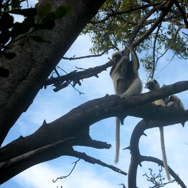
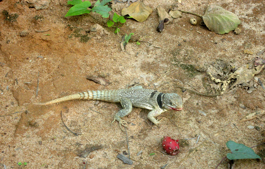
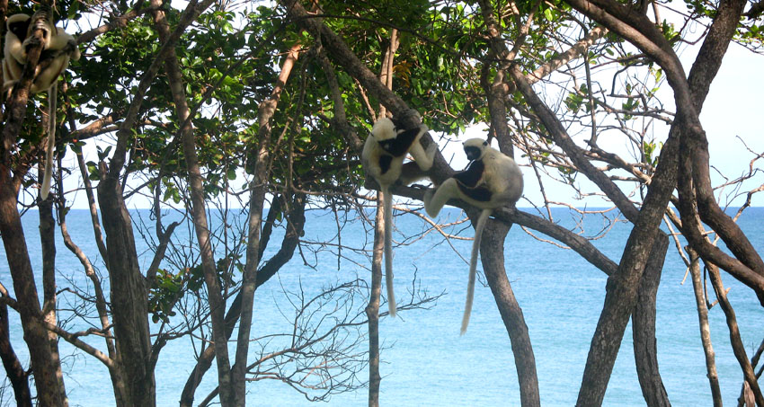
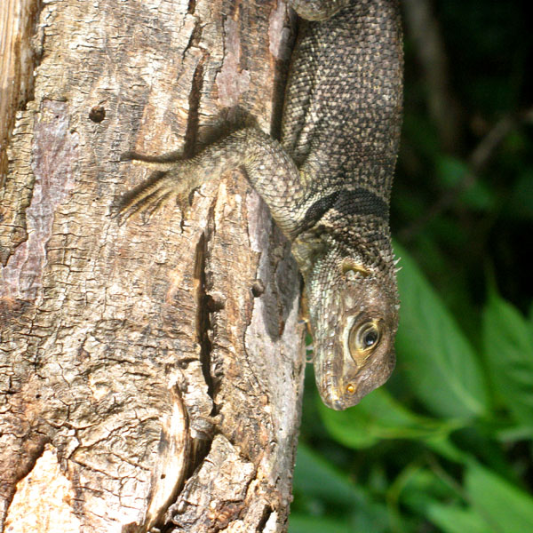
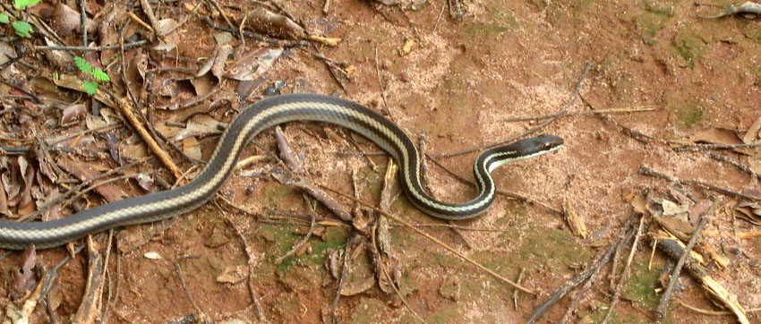
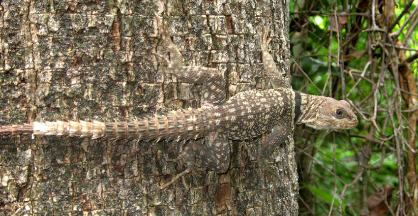
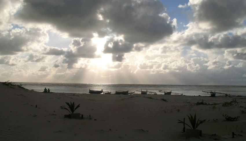
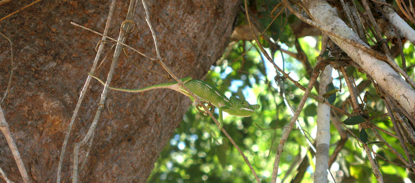
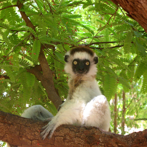
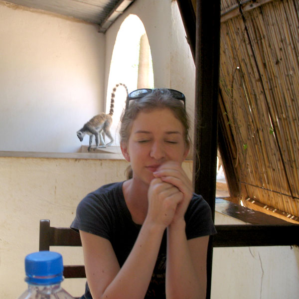
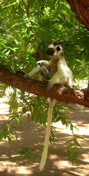
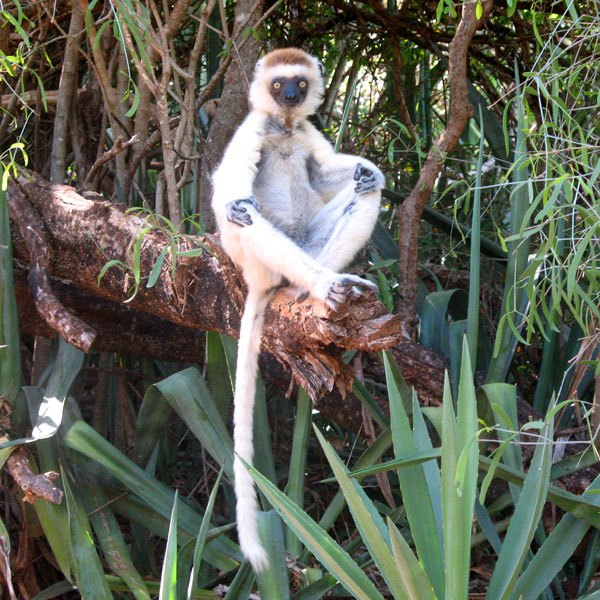
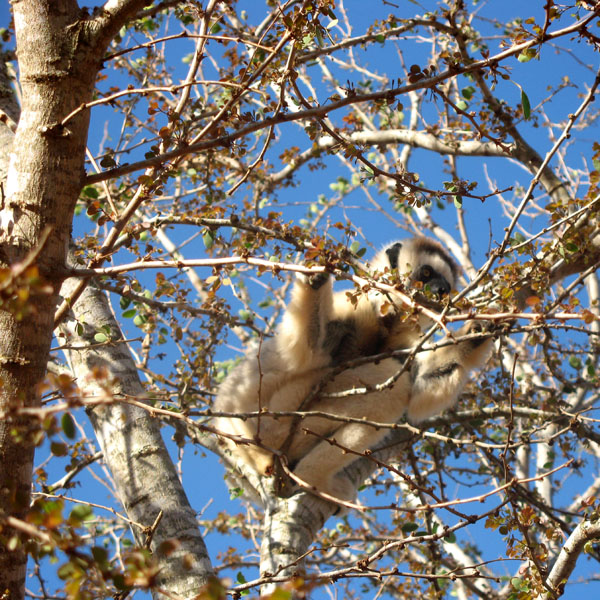
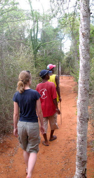
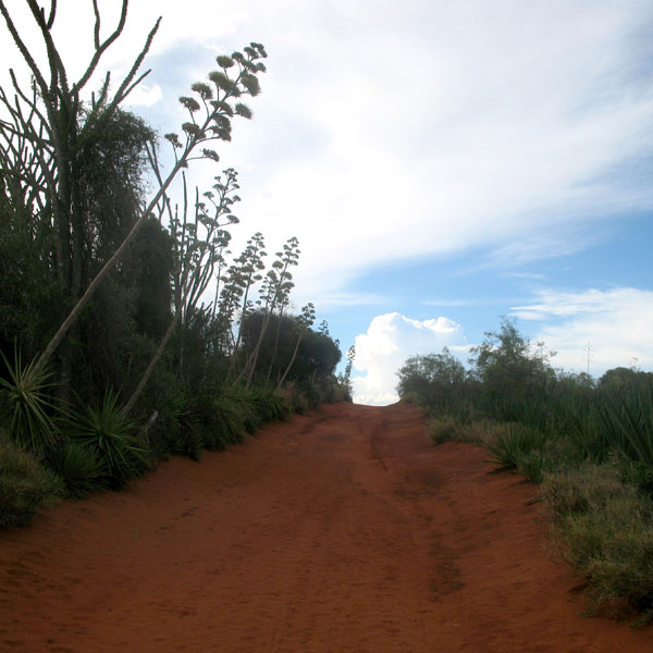
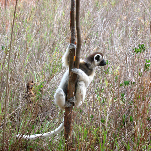
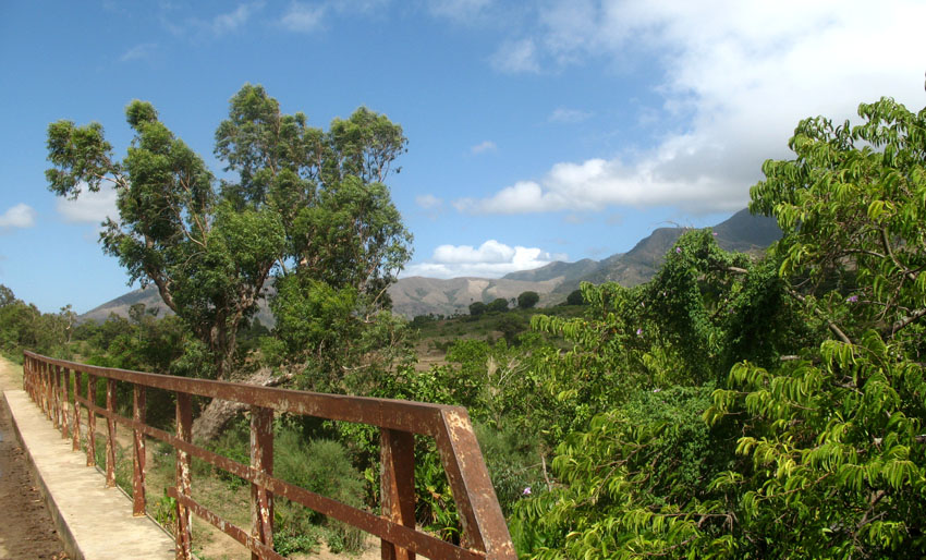
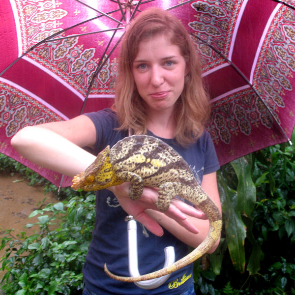
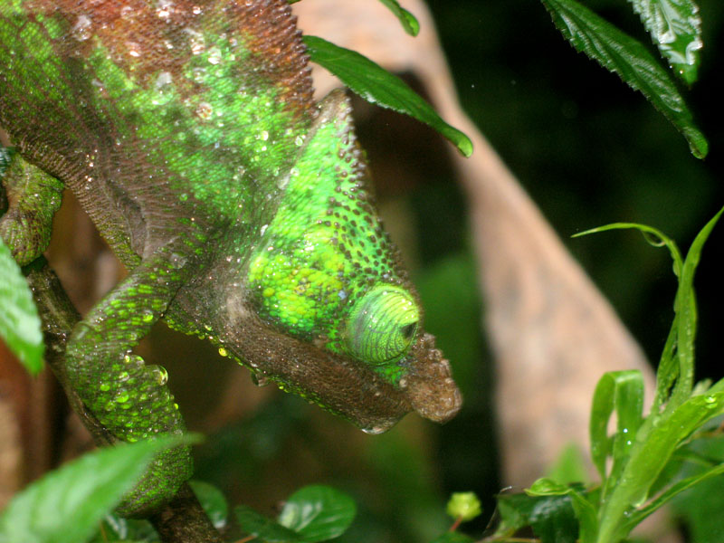
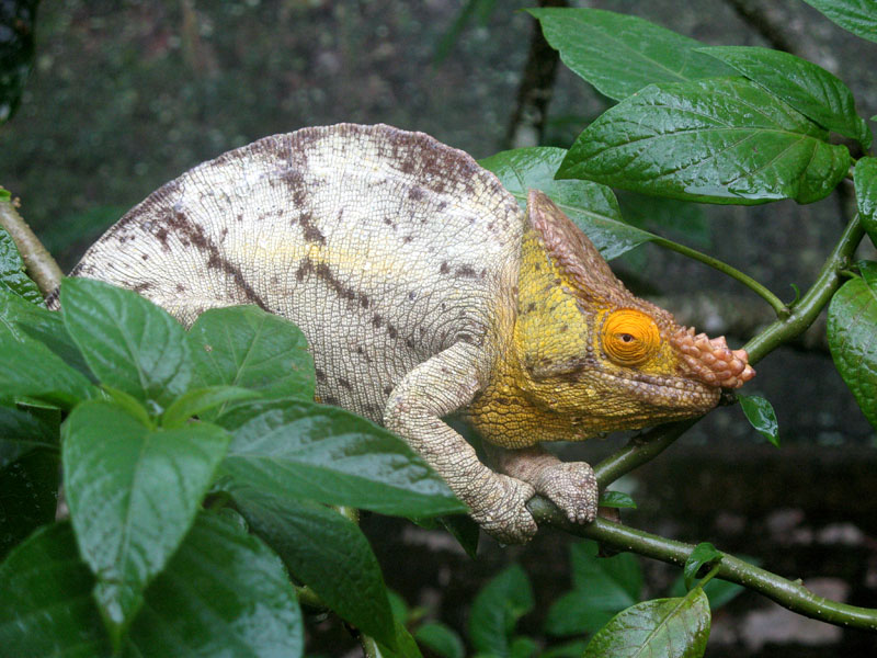
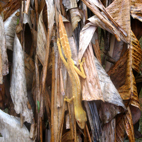
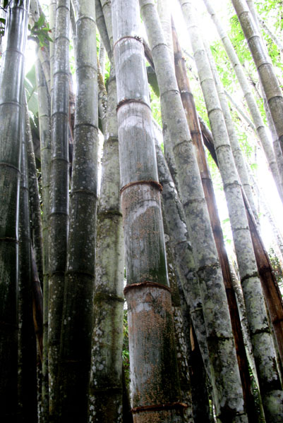
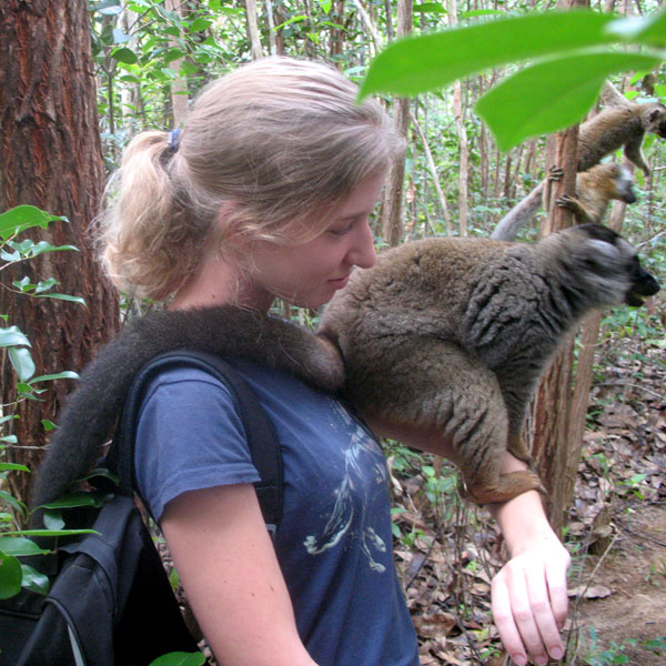
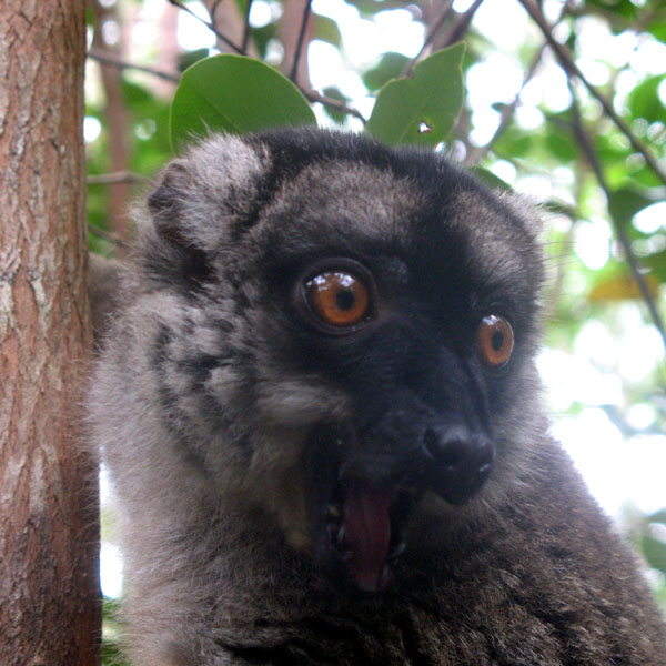
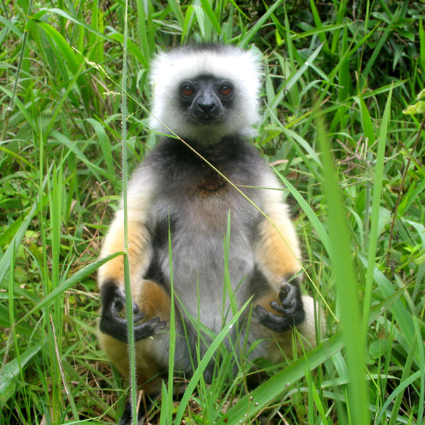
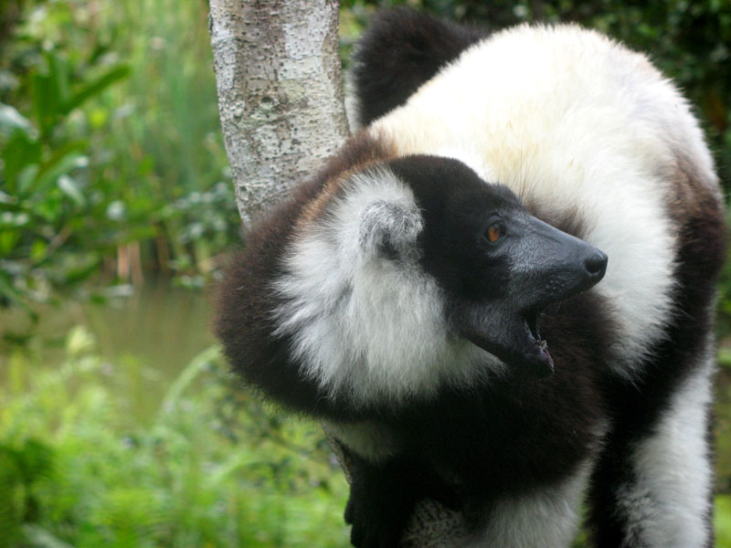
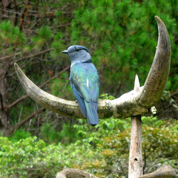
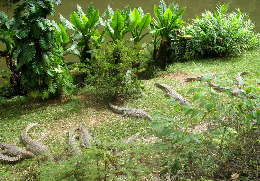
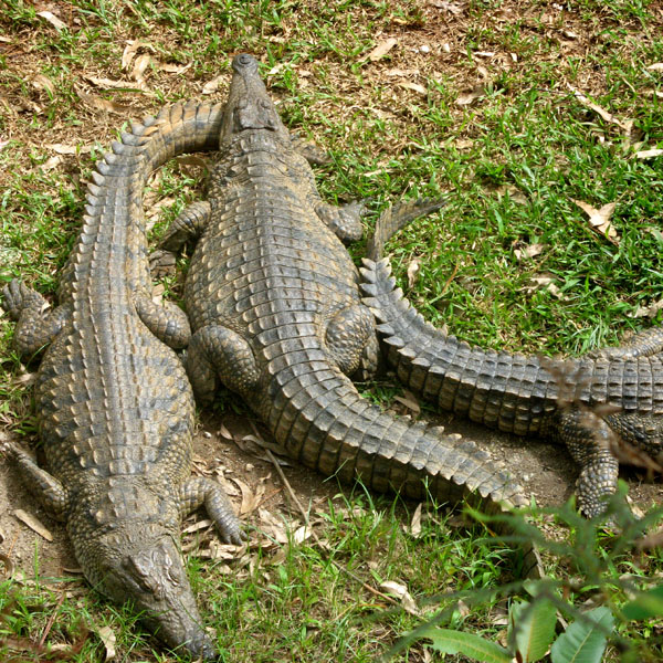
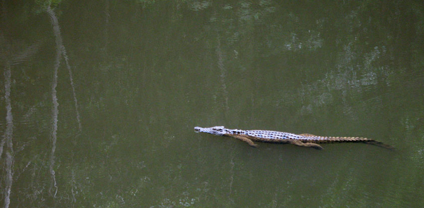
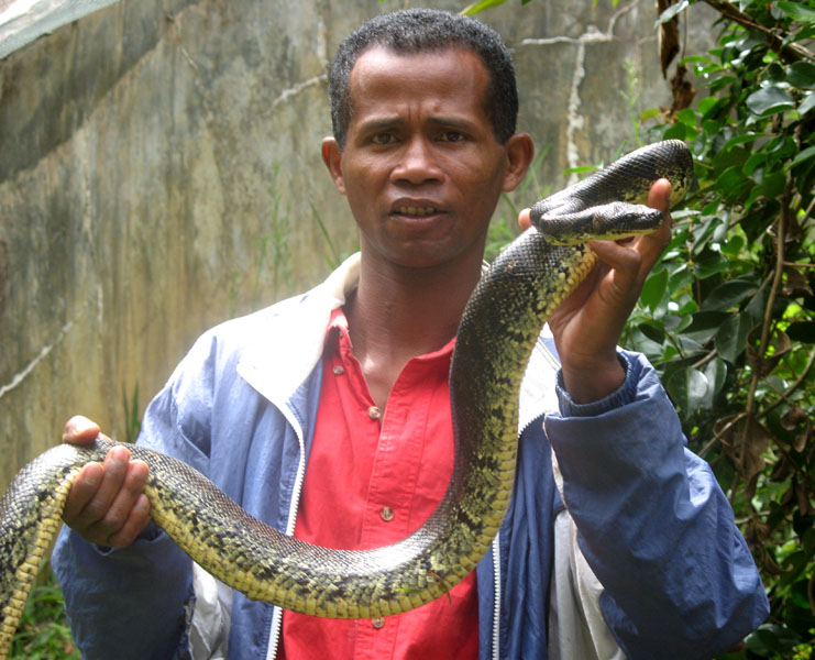
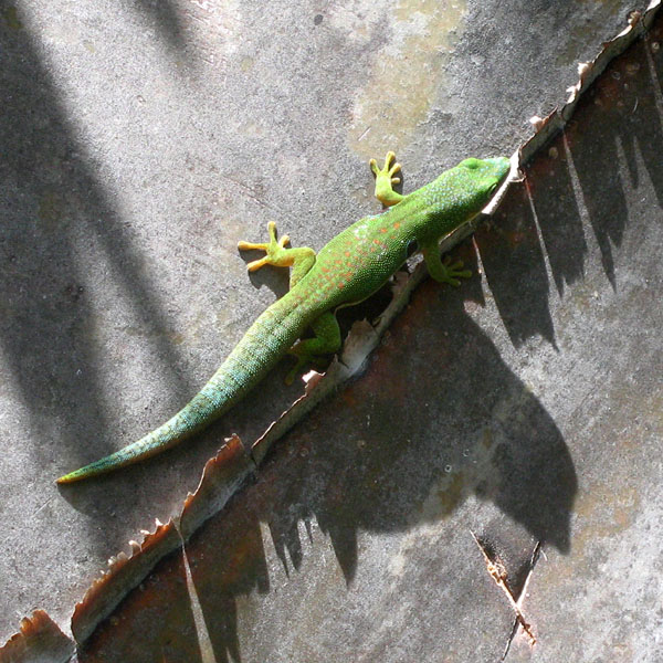
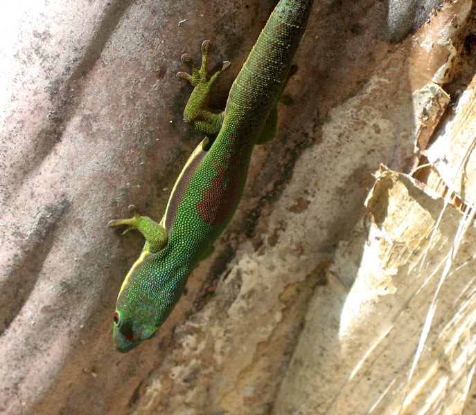
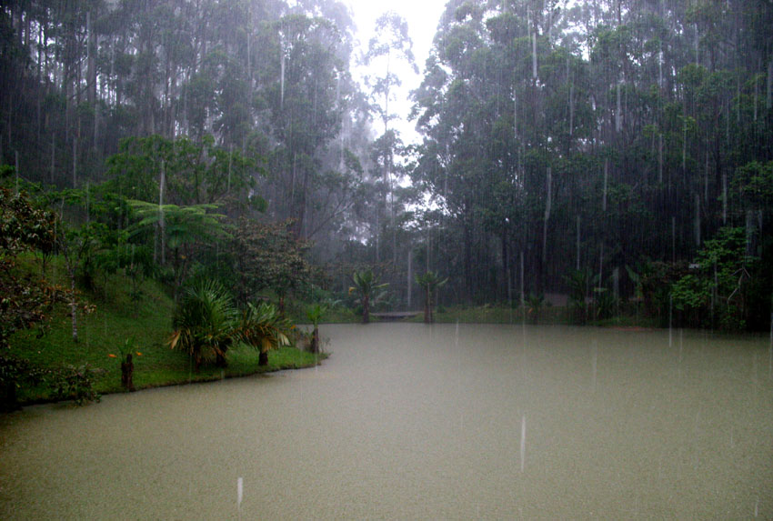
Andasibe-Mantadia National Park is a 155 square kilometre protected area consisting principally of primary growth forest in Toamasina Province in eastern Madagascar. The park’s elevation ranges from 900-1250 meters, with a humid climate. Average annual precipitation is 1700 mm, with rainfall on 210 days of each year. This rainforest is habitat to a vast species biodiversity, including many endemic rare species and endangered species, including 11 lemur species. The park’s two component parts are Mantadia National Park and Analamazaotra Reserve, which is best known for its population of Madagascar’s largest lemur, the Indri.

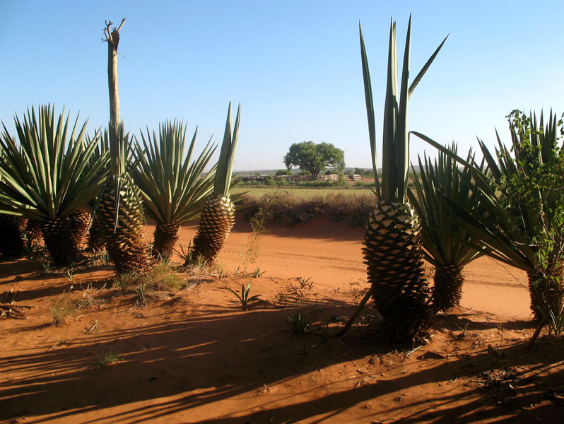
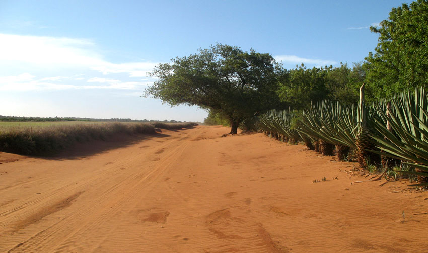
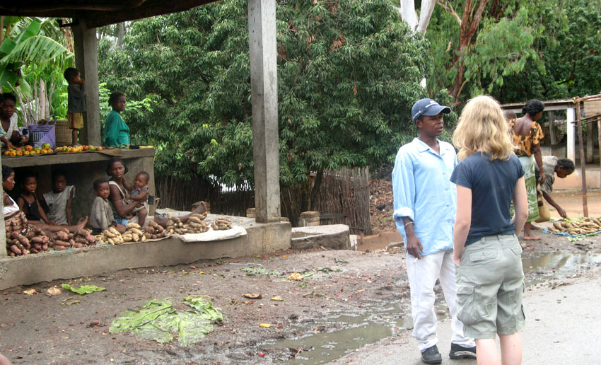
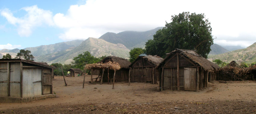
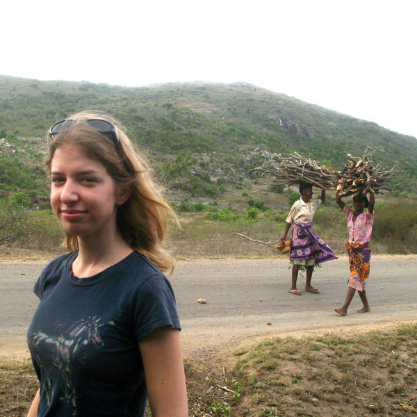
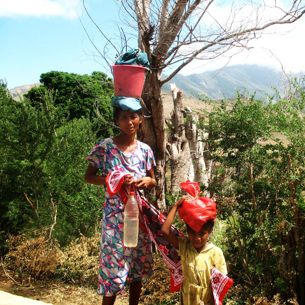
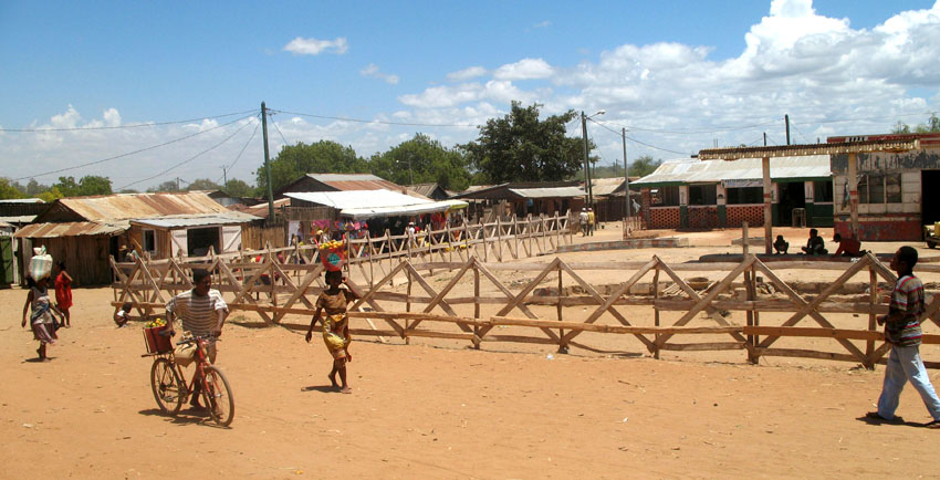
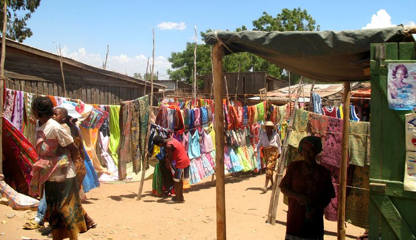
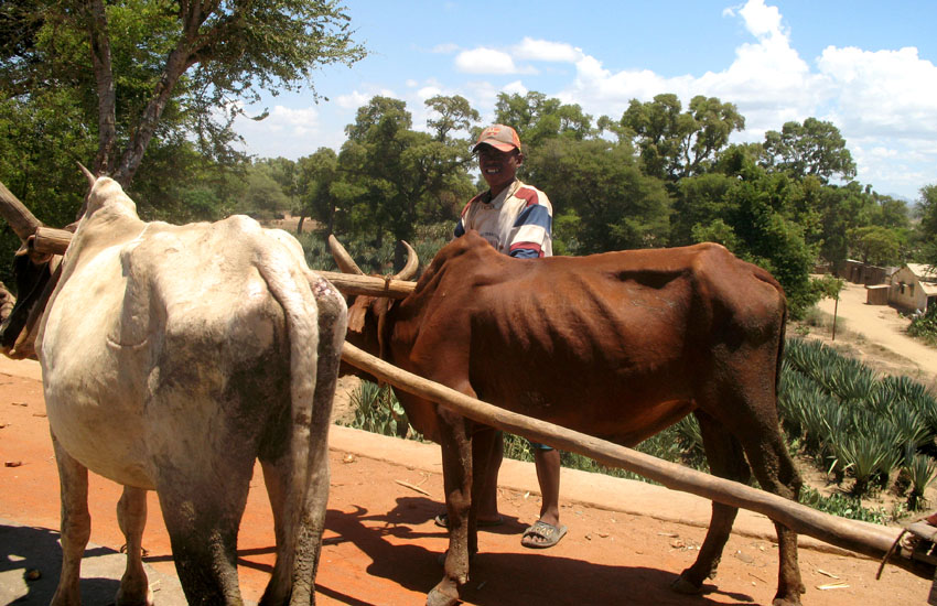
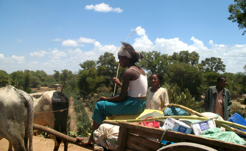
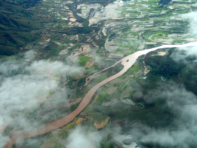
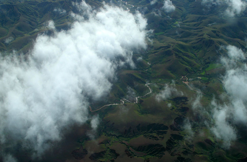
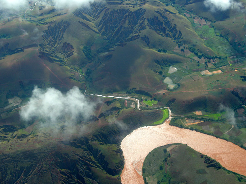
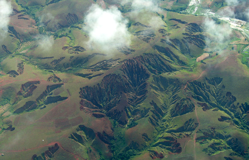
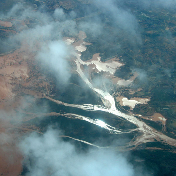
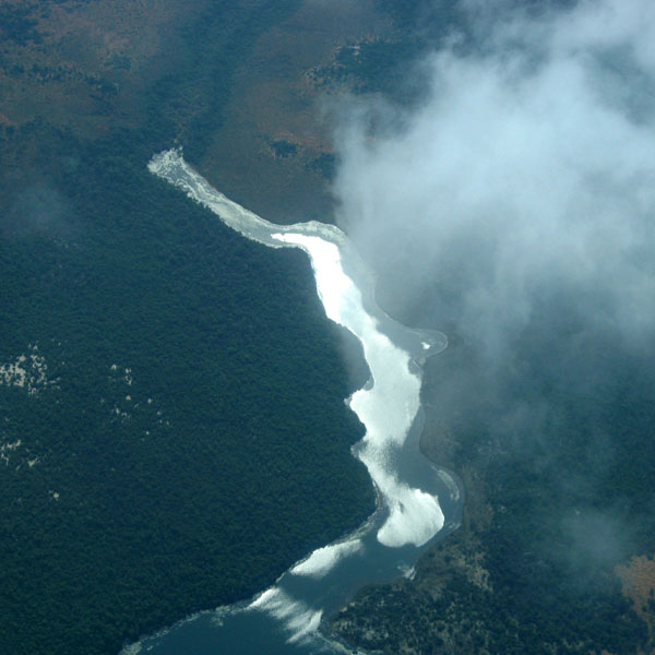
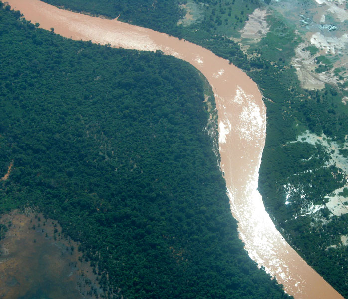
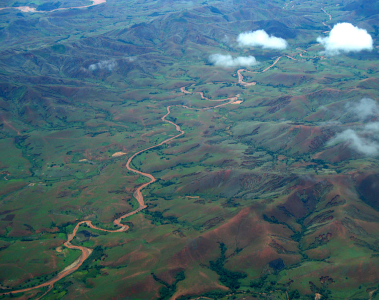
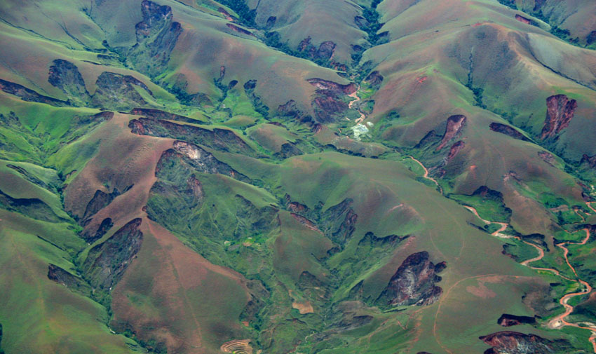
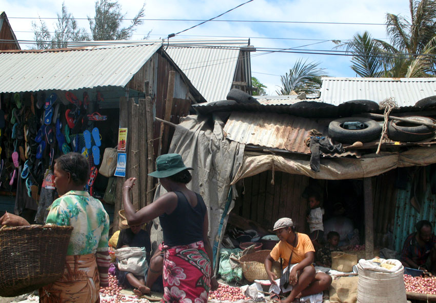
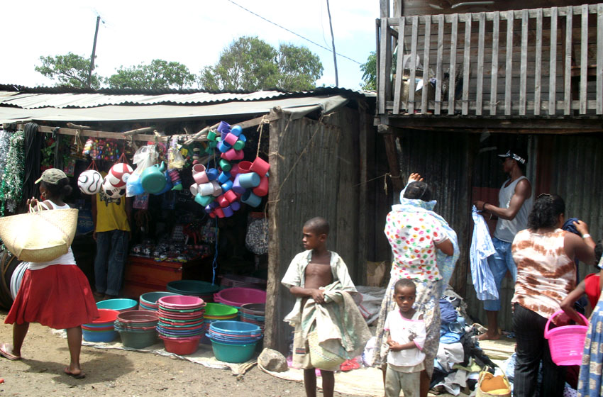
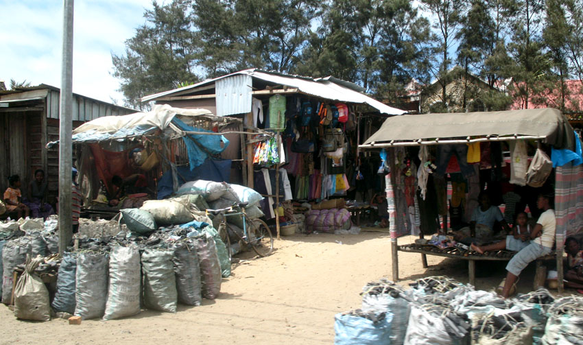
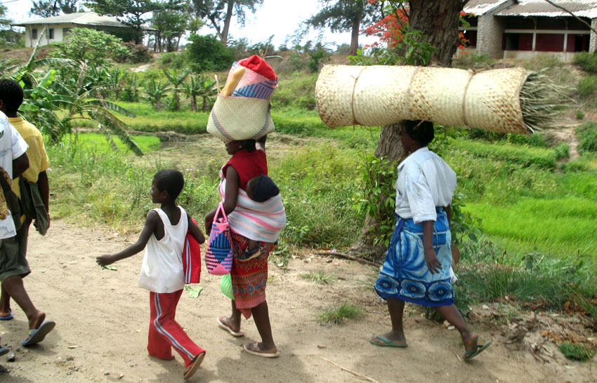
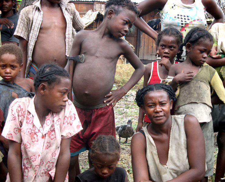
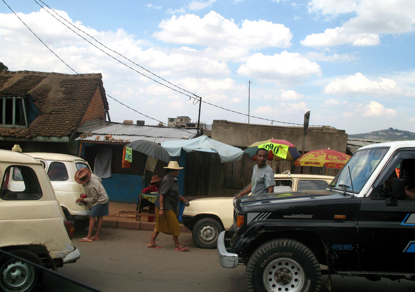
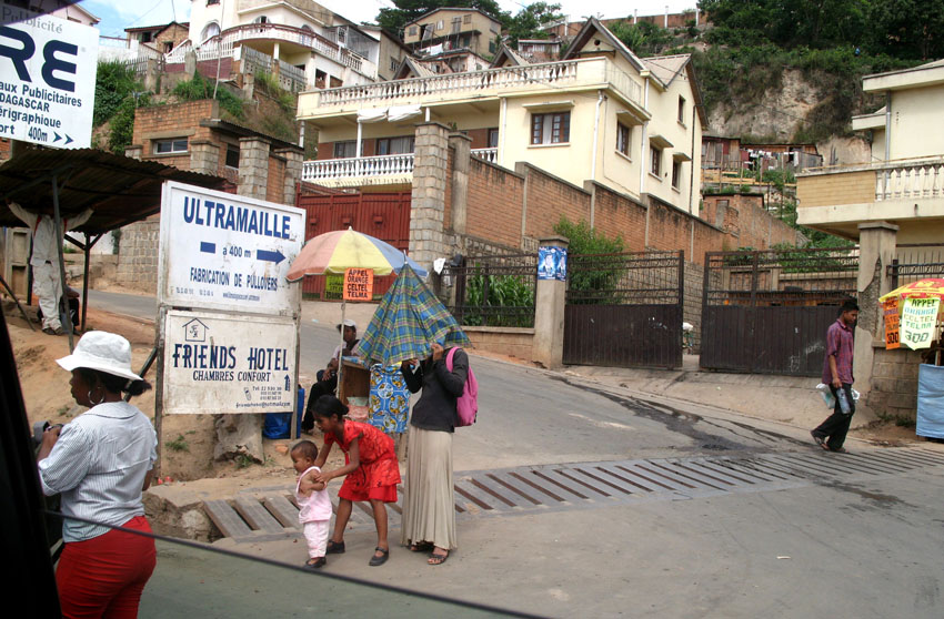
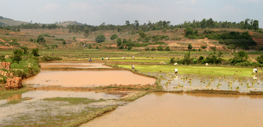
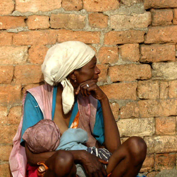
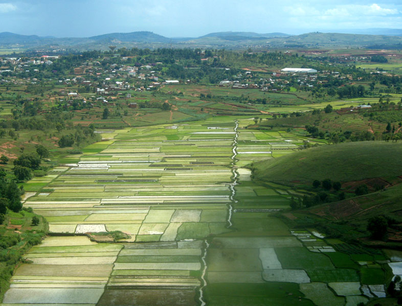
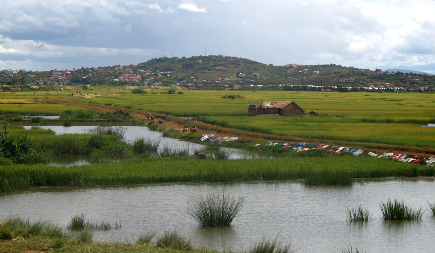
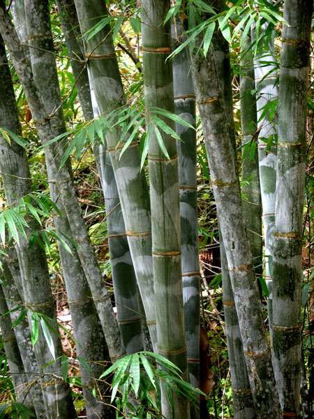
The main threat to this park comes from the disappearance of adjoining habitat outside the park. This disappearance has been caused primarily by logging and replacement of rainforest with commercial Australian eucalyptus and Chinese pine forests, and to a lesser extent by slash-and-burn cultivation for rice agriculture, which is exacerbated by the extremely high population growth rate and poverty in rural Madagascar.

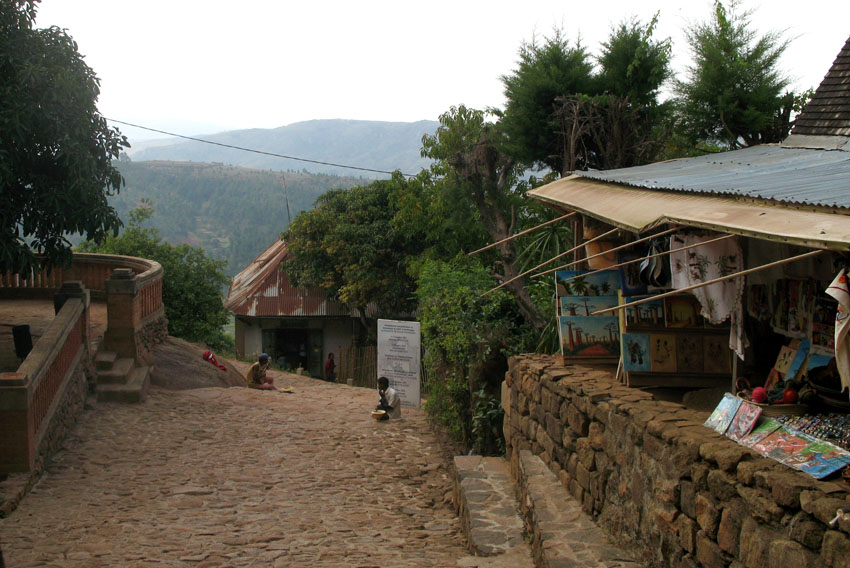
To address the disappearing habitat threat, reserves have been created in the vicinity of Andasibe-Mantadia that balance resource extraction with environmental protection, and attempt to create economic and environmentally-preferable alternatives to replacing native forests with eucalyptus and pine.

Source: Wikipedia (under GNU Free Documentation License)

Categories
Madagascar

Anjajavy


Categories
Madagascar

Morondava

Morondava is a city located in the province of Toliara and the Region of Menabe, of which it is the capital, in Madagascar. It is located in the delta of the Morandava River at 20°17′5″S 44°19′3″E.

Air Madagascar has regular scheduled flights to Morondava Airport. The main road to the town, and indeed the roads in the town itself, are severely eroded with less than 30% of the original tarmac left in most places. Overland transport is therefore very slow and difficult, especially in the rainy season. Pirogues are consequently a popular mode of transport used to ferry people and goods up and down the coast, especially to Morombe.

Source: Wikipedia (under GNU Free Documentation License)

Categories
Madagascar

Avenue of the Baobabs

The Avenue or Alley of the Baobabs is a prominent group of baobab trees lining the dirt road between Morondava and Belon’i Tsiribihina in the Menabe region in western Madagascar. Its striking landscape draws travelers from around the world, making it one of the most visited locations in the region. It has been a center of local conservation efforts, and was granted temporary protected status in July 2007 by the Ministry of Environment, Water and Forests, the first step toward making it Madagascar’s first national monument.

Along the Avenue are about a dozen trees about 30 meters in height, of the species Adansonia grandidieri, endemic to Madagascar. Baobab trees, up to 800 years old, known locally as renala (Malagasy for “mother of the forest”), are a legacy of the dense tropical forests that once thrived on Madagascar. The trees did not originally tower in isolation over the sere landscape of scrub but stood in dense forest. Over the years, as the country’s population grew, the forests were cleared for agriculture, leaving only the baobab trees, which the locals preserved as much in respect as for their value as a food source and building material.

The area is not a national park, and the trees are threatened by further deforestation, effluent from encroaching rice paddies and sugarcane plantations, and brush and forest fires. Despite its popularity as a tourist destination, the area has no visitor center or gate fees, and local residents receive little income from tourism. Conservation International in partnership with Fanamby, a Malagasy NGO, has launched an ecotourism project aimed at conservation of the area and economic improvement for the local community.

Source: Wikipedia (under GNU Free Documentation License)

Categories
Madagascar

Berenty

Berenty Reserve is a small private reserve of gallery forest along the Mandrake river, set in the semi-arid spiny forest ecoregion of the far south of Madagascar. For some years Primatologist Alison Jolly and student volunteers have visited Berenty to conduct fieldwork on Lemurs. The reserve is also a favourite for visitors who want to see some of Madagascar’s endemic bird species, which include Owls and Couas.

The reserve has accommodation in the forest and a set of forest trails to explore. It attracts the most visitors of any Madagascar nature reserve. It is reached after a two hour drive from Tôlagnaro on the southeast coast.

Source: Wikipedia (under GNU Free Documentation License)

Categories
Madagascar

Madagascar

Madagascar, or Republic of Madagascar (older name Malagasy Republic, French: République malgache), is an island nation in the Indian Ocean off the southeastern coast of Africa. The main island, also called Madagascar, is the fourth-largest island in the world, and is home to 5% of the world’s plant and animal species, of which more than 80% are endemic to Madagascar. They include the lemur infraorder of primates, the carnivorous fossa, three bird families and six baobab species. Two thirds of the population live below the international poverty line of US$1.25 a day.

At 587,000 km² (226,640 sq mi), Madagascar is the world’s 46th-largest country. It is slightly bigger than France, and is one of 11 distinct physiographic provinces of the South African Platform physiographic division.

Towards the east, a steep escarpment leads from the central highlands down into a ribbon of rain forest with a narrow coastal further east. The Canal des Pangalanes is a chain of natural and man-made lakes connected by canals that runs parallel to the east coast for some 460 km (about two-thirds of the island). The descent from the central highlands toward the west is more gradual, with remnants of deciduous forest and savanna-like plains (which in the south and southwest, are quite dry and host spiny desert and baobabs). On the west coast are many protected harbours, but silting is a major problem caused by sediment from the high levels of erosion inland.

Source: Wikipedia (under GNU Free Documentation License)

Categories
Madagascar

Tôlanaro

Tôlanaro or Tolagnaro is a city (commune urbaine) in Madagascar. It is the capital of the Anosy region, of the Tôlanaro district, and is in the former Toliara Province. It has a port of local importance, and currently a new port is being built in Ehoala. Formerly Fort Dauphin, it was the most durable French settlement in Madagascar.

It was founded in 1643 by the French East India Company who built a fort there, named in honor of the crown prince of France, the future Louis XIV. It was settled by around a hundred colonists, who found themselves involved in the local politics. The poor trade results (some ebony and little more was obtained) hardly justified the difficulties of the settlers, who suffered from tropical illnesses and other problems. After a conflict with the Antanosy people, the survivors were evacuated in 1674.

One temporary settler of this colony, Etienne de Flacourt, published, back in France, the History of the Great Isle of Madagascar and Relations, that was the main source of information on the island for Europeans until the late 19th century.

Source: Wikipedia (under GNU Free Documentation License)

Categories
Madagascar

Isle do Portugues

Still today, in the XXI century, near Tolanaro or Fort Dauphin, in an island at the mouth of the Vinanibe River the remains of this settlement are visible. The fort is square shaped and it is a very important historical witness, because it is the first European building build in Madagascar.

This fort is located some 10 km to the west of Fort Dauphin. It offers a testimony of a Portuguese presence that dates back to 1504. Originally the settlement was composed of the ten survivors of a shipwreck that sought shelter on a small island known as “Santa Cruz”. These men built a fort to protect themselves from the aggressive natives. Despite this measure, all settlers were killed in 1535. In 1616, a Portuguese mission tried to settle on the same island of Santa Cruz, but king Tsiambany refused to give them permission, so that the Jesuits had to leave in 1617.

Categories
Madagascar

Tana

Antananarivo is the capital and largest city in Madagascar. It is also known by its French colonial name Tananarive or the shorthand form Tana. The larger urban area surrounding the city, known as Antananarivo-Renivohitra (“Antananarivo-Capital”), is the capital of the Analamanga region and of the Antananarivo autonomous province.

Unlike most capital cities in southern Africa, Antananarivo was already a major city before the colonial era. The city was founded circa 1625 by King Andrianjaka and takes its name (the City of the Thousand) from the number of soldiers assigned to guarding it. For many years it was the principal village of the Hova chiefs and gained importance as those chiefs made themselves sovereigns of the greater part of Madagascar, eventually becoming a town of some 80,000 inhabitants. In 1793 it was made the capital of the Merina kings. The conquests of King Radama I made Antananarivo the capital of almost all of Madagascar. Until 1869 all buildings within the city proper were of wood or rushes, but even then it possessed several timber palaces of considerable size, the largest being 120 ft (37 m) high. These crown the summit of the central portion of the ridge; and the largest palace, with its lofty roof and towers, is the most conspicuous object from every point of view.

Since the introduction of stone and brick, the entire city has been rebuilt and now contains numerous European-style structures, including the royal palaces, the houses formerly belonging to the prime minister and nobles, the French residency, the Anglican and Roman Catholic cathedrals, and several stone churches. Museum of Ethnology and Paleontology is located in the city.

Source: Wikipedia (under GNU Free Documentation License)